The best road cycling routes in Untere Mark
4.5
(1314)
18,142
riders
514
rides
Road cycling in Untere Mark, located near Forchheim in Bavaria, offers diverse routes through scenic countryside. The region is characterized by green fields, charming small villages, and the extensive Untere Mark forest. While many routes feature mostly paved surfaces and relatively flat sections, some also include moderate ascents, providing varied terrain for different fitness levels.
Best road cycling routes in Untere Mark
- The most popular road cycling route is Aischer Highway – Forchheim–Höchstadt Cycle Path loop from Hemhofen, an…
Last updated: May 15, 2026
5.0
(1)
187
riders
31.4km
01:21
210m
210m
Easy road ride. Great for any fitness level. Mostly well-paved surfaces and easy to ride.
5.0
(1)
44
riders
30.7km
01:17
160m
160m
Moderate road ride. Great for any fitness level. Some segments of this route may be unpaved and difficult to ride.

Sign up for free
5.0
(2)
41
riders
47.3km
02:10
230m
230m
Moderate road ride. Good fitness required. Some segments of this route may be unpaved and difficult to ride.
37
riders
Moderate road ride. Great for any fitness level. Some segments of this route may be unpaved and difficult to ride.
18
riders
Easy road ride. Great for any fitness level. Mostly well-paved surfaces and easy to ride.
Get access to more routes and recommendations from other explorers.
Sign up for free
Already have an account?
Our route recommendations are based on thousands of hikes, rides, and runs completed by other people on komoot.
Start today with a free account
Your next adventure awaits.
Login or Signup

Tips from the Community

Short and sweet - the Aisch in Aisch.
0
0

Delicious food in the country inn
0
0

Today there was a café in the Gmaahaus.☕️🍰
0
0
Beautifully restored, with a bread bakery still in use, right next to the village pond
0
0

Large carp in the Höchstadt roundabout, symbol of the Aischgrund carp
0
0

The Hannberg fortified church is a fortified defensive structure of the Church of the Birth of Mary in Hannberg (municipality of Heßdorf), ten kilometers west of the city of Erlangen in Middle Franconia. The town of Hannberg played a strategic role as early as the 11th century due to its location on the trade route between Bamberg, Würzburg and the royal estates in Büchenbach and Herzogenaurach. Hannberg was first mentioned in a document in 1065 under the name "Hagenberch" in a gift certificate from the Bishop of Bamberg. The fortified church, with its dimensions of 73.5 × 56.2 meters on a floor area of 0.37 hectares, is the third largest church fortress in Germany.
1
0

The Hannberg fortified church is a fortified defensive structure of the Church of the Nativity of Mary in Hannberg (municipality of Heßdorf), ten kilometers west of the city of Erlangen in Middle Franconia. The town of Hannberg played a strategic role as early as the 11th century due to its location on the trade route between Bamberg, Würzburg and the royal estates in Büchenbach and Herzogenaurach. Hannberg was first mentioned in a document in 1065 under the name "Hagenberch" in a gift certificate from the Bishop of Bamberg.
2
0

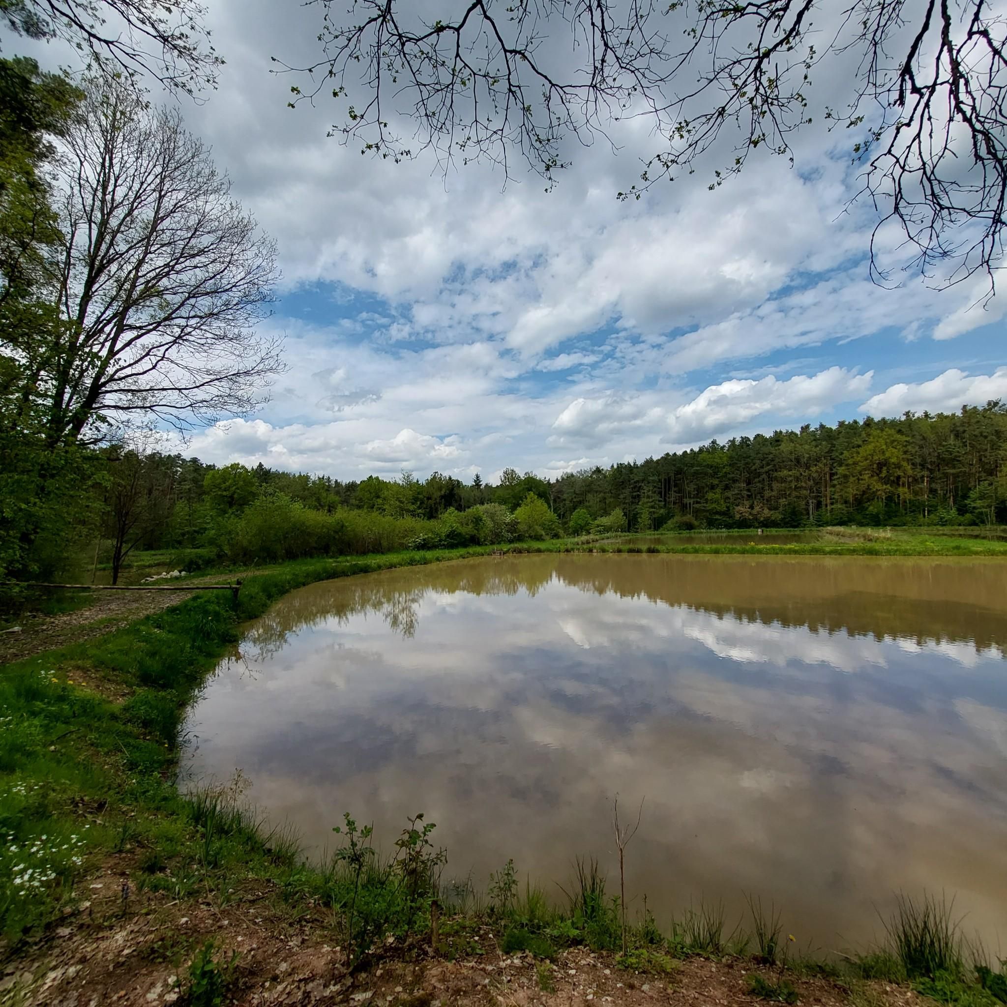
wonderful view, calming lake landscape
1
0
Frequently Asked Questions
How many road cycling routes are available in Untere Mark?
Untere Mark offers a wide selection of road cycling routes, with over 500 tours available on komoot. This includes 161 easy routes, 284 moderate routes, and 64 more challenging options, catering to various fitness levels and preferences.
What kind of terrain can I expect on road cycling routes in Untere Mark?
The terrain in Untere Mark is quite varied. You'll find routes with mostly paved surfaces, often through green fields and charming small villages. While many sections are relatively flat, some routes also feature moderate ascents, especially as you explore the extensive Untere Mark forest, providing a good mix for different cycling experiences.
Are there any easy road cycling routes suitable for beginners in Untere Mark?
Yes, Untere Mark has numerous easy road cycling routes perfect for beginners or those seeking a relaxed ride. For instance, the Aischer Highway – Forchheim–Höchstadt Cycle Path loop from Hemhofen is an easy 31.5 km trail that follows a dedicated cycle path, offering a smooth introduction to the region's landscapes.
What are some notable landmarks or points of interest along the road cycling routes in Untere Mark?
While cycling in Untere Mark, you can encounter various points of interest. Forchheim itself is a historic town with medieval charm. Along the routes, you might pass by cultural highlights such as the Rote Marter Memorial in Buckenhofen or the Frankenmarter Wayside Shrine. For a break, consider the Felsenkeller Utz Beer Garden.
Are there any circular road cycling routes in Untere Mark?
Yes, many road cycling routes in Untere Mark are designed as loops, allowing you to start and end at the same point. Examples include the popular Canal Cycle Path – View of Willersdorf loop from Willersdorf, which offers a mix of canal-side riding and countryside views, or the B470 Cycle Path – Wimmelbach–Oesfeld cycle path loop from Haid.
What do other cyclists say about road cycling in Untere Mark?
The road cycling routes in Untere Mark are highly regarded by the komoot community, with an average rating of 4.6 stars from over 1200 reviews. Cyclists often praise the diverse terrain, the well-maintained paths, and the scenic beauty of the green fields and charming villages.
Is Untere Mark suitable for family-friendly road cycling?
Yes, Untere Mark offers several family-friendly road cycling options, particularly on its easier routes and dedicated cycle paths. The region's picturesque countryside and relatively flat sections make it enjoyable for families. Always check the specific route details for distance and elevation to ensure it matches your family's capabilities.
What is the best time of year for road cycling in Untere Mark?
The best time for road cycling in Untere Mark is generally from spring through early autumn (April to October). During these months, the weather is typically mild and pleasant, with the countryside in full bloom or displaying beautiful autumn colors. Always check local weather forecasts before heading out.
Are there places to stop for refreshments or rest along the routes?
Yes, given the region's charming villages and the historic town of Forchheim, you'll find opportunities for refreshments. Forchheim is known for its lively beer gardens, and smaller cafes or pubs may be found in the villages along various routes. The Felsenkeller Utz Beer Garden is one such option.
How can I find parking or access routes via public transport in Untere Mark?
Many routes in Untere Mark start from towns and villages like Hemhofen, Willersdorf, or Haid, where parking facilities are often available. For public transport, Forchheim is a central hub. From there, local buses or regional trains can connect you to various starting points. Some highlights, like the Hiking Car Park and Shelter, also indicate potential parking spots.
Are there any longer or more challenging road cycling routes in Untere Mark?
While many routes are moderate, Untere Mark does offer more challenging options for experienced cyclists. These routes often include more significant ascents and cover longer distances. For example, the Wiesent River – Wimmelbach–Oesfeld cycle path loop from Weppersdorf is a moderate 47.3 km route with over 230 meters of elevation gain, providing a good endurance test.
Can I bring my dog on road cycling routes in Untere Mark?
Road cycling routes are primarily designed for speed and smooth surfaces, making them generally less suitable for dogs to run alongside. While some paths might be quiet, it's often safer and more enjoyable for dogs to be on dedicated walking or hiking trails. If you plan to bring a dog, ensure it can be safely carried or that the route is specifically designated as dog-friendly and safe from traffic.
Most popular routes in Untere Mark
Most popular attractions in Untere Mark

Get inspired with the komoot mobile app


Explore more
Browse the best Road cycling routes in other regions.
