Skaupsjøen / Hardangerjøkulen Landskapsvernområde
Skaupsjøen / Hardangerjøkulen Landskapsvernområde
Top 5 Natural Monuments in Skaupsjøen / Hardangerjøkulen Landskapsvernområde
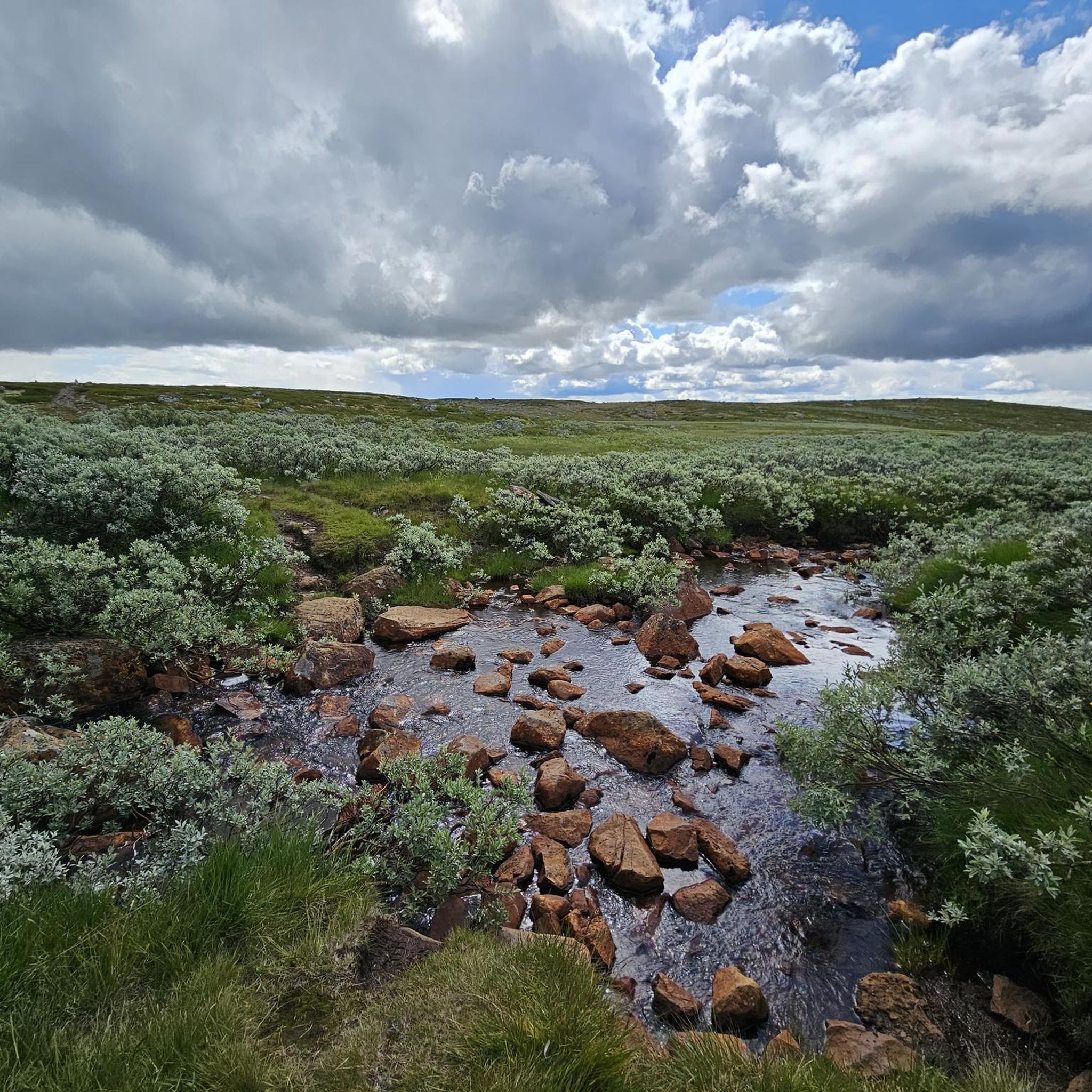
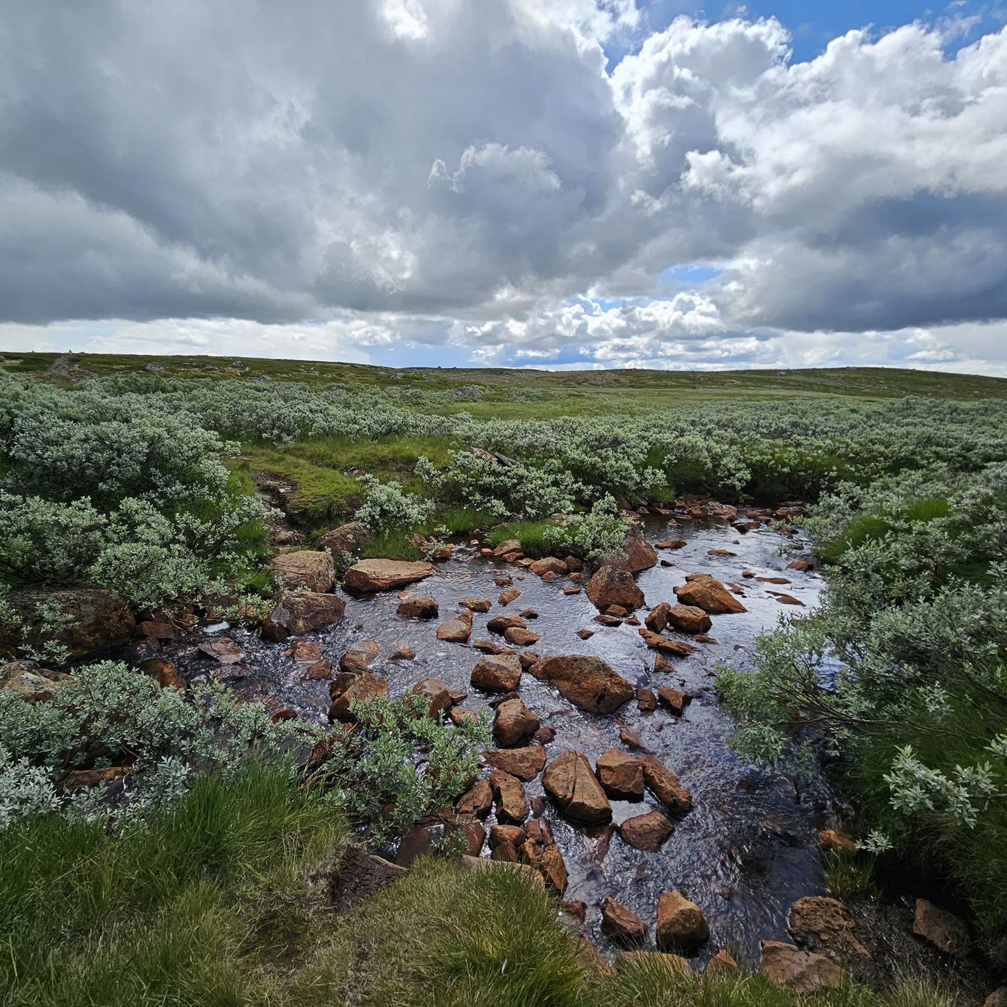
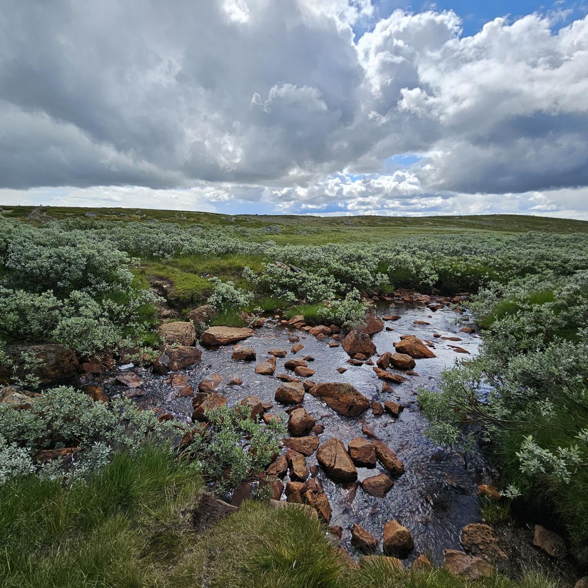
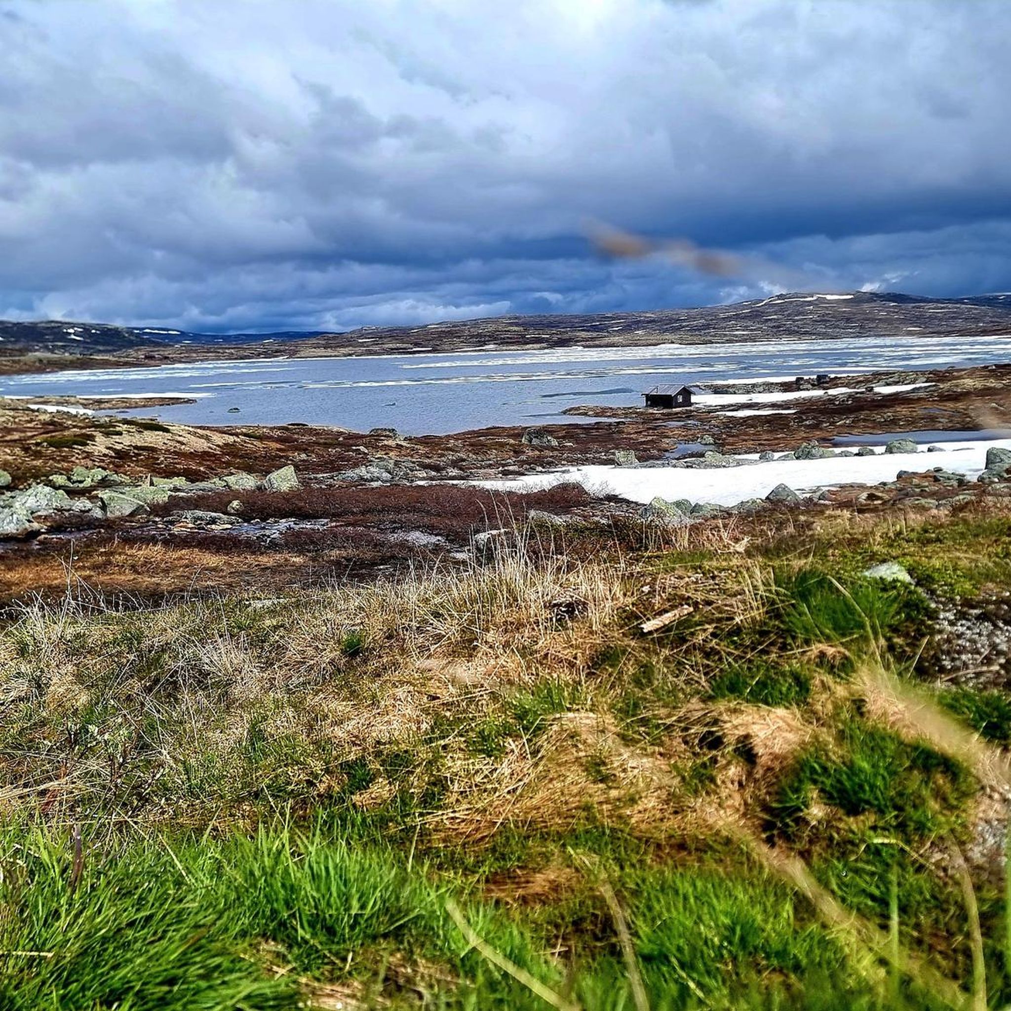
Best natural monuments in Skaupsjøen / Hardangerjøkulen Landskapsvernområde are found within a rugged natural landscape, part of the Hardangervidda plateau in Norway. This area features majestic mountains, lakes, and valleys shaped by ancient geological processes. The region is characterized by its barren, treeless moorland, interspersed with numerous pools, lakes, rivers, and streams, reflecting its ancient geology and glacial action. It serves as a significant natural heritage site, including habitat for wild reindeer.
Best natural monuments in Skaupsjøen / Hardangerjøkulen Landskapsvernområde
…Last updated: July 4, 2026
Hardangerjøkulen Glacier
Highlight • Natural Monument
Tip by

Wooden Boardwalk in Hardangervidda National Park
Highlight • Trail
Translated by Google •
Tip by

Sign up now to discover places like this
Get recommendations on the best single tracks, peaks, & plenty of other exciting outdoor places.
Sign up for free
View of the Hardangerjøkulen Glacier
Highlight (Segment) • Viewpoint
However, this section should be underestimated, especially if it's wet, as some climbing experience is an …
Translated by Google •
Tip by

View of Hardangerjøkulen Glacier
Highlight • Viewpoint
Translated by Google •
Tip by

View of Hardangerjøkulen
Highlight • Viewpoint
Translated by Google •
Tip by
Start today with a free account
Your next adventure awaits.
Login or Signup
Popular around Skaupsjøen / Hardangerjøkulen Landskapsvernområde

MASSIV-Ruta – Steep mountains and deep valleys, a Norwegian adventure
Hiking in Skaupsjøen / Hardangerjøkulen Landskapsvernområde
Cycling in Skaupsjøen / Hardangerjøkulen Landskapsvernområde
MTB Trails in Skaupsjøen / Hardangerjøkulen Landskapsvernområde
Running Trails in Skaupsjøen / Hardangerjøkulen Landskapsvernområde
Other adventures in Skaupsjøen / Hardangerjøkulen Landskapsvernområde

Tips from the Community

The path is not passable as a circular route. Turn back if you can't get any further.
0
0

This section offers a beautiful view of the glacier's foothills and a glacier tongue. However, this section should be underestimated, especially if it's wet, as some climbing experience is an advantage. In some places, you'll need to use your hands, so you can safely stow your hiking poles in/on your backpack. You should also allow more time than usual, as the terrain isn't flat. Behind the bridge over the large glacial river, there's a somewhat dangerous section over another, smaller river. The bridge, which was probably there once, is no longer there, and you have to cross it. It's dangerous because the river has a strong current in some places, which can sweep you away. Therefore, you should carefully consider where you feel confident attempting the river crossing.
0
0

Hardangerjøkulen is one of Norway’s largest glaciers, a vast, shimmering ice cap stretching across the rugged Hardangervidda plateau. Surrounded by barren highlands and dramatic peaks, the glacier’s white expanse creates a striking contrast against the deep blues of nearby lakes and the muted tones of the alpine terrain. Its accessible location near Finse makes it a popular destination for hikers and glacier tours alike.
1
0

If you always keep to the right (despite the lack of a junction) (coming from the 7), you will deviate from the path marked with the red "T" and follow paths that become smaller and smaller. Apparently these lead to a cabin by the lake. We didn't want to take the risk of not being able to follow the path marked by Komoot there and turned around. Info: at ut.no, the "missing" path is only shown as a thin dashed line...if in doubt, it's better to trust ut.no than Komoot.
0
0

From here you have an impressive view of the Hardangerjøkulen glacier on relatively clear days.
0
0
In the middle of the planks there is supposed to be a path towards Vesle Krækkja. But that is currently not to be found here in the moor. Down by the lake there should be the continuing path that the Komoot map shows, but according to the Fagerheim hut keeper.
1
0

The river is crossed here on a very modern suspension bridge made of steel. The view of the glacier is simply a dream.
1
0
Frequently Asked Questions
What are the main natural features to explore in Skaupsjøen / Hardangerjøkulen Landskapsvernområde?
The region is dominated by the majestic Hardangerjøkulen Glacier, one of Norway's largest. Beyond the glacier, you'll find a high-mountain environment characterized by rugged terrain, deep valleys, and numerous lakes, all shaped by ancient glacial activity. The area also borders the vast Hardangervidda plateau, Europe's largest peneplain, known for its barren moorlands and unique alpine ecosystem.
What makes the Hardangerjøkulen Glacier a significant natural monument?
The Hardangerjøkulen Glacier is Norway's sixth-largest glacier and a prime natural monument. It's an expansive ice cap covering approximately 73 square kilometers, with its highest point reaching 1,863 meters above sea level. Its ancient presence since the Ice Age and continuous sculpting of the landscape make it a geological marvel. It also served as a training ground for polar explorers and famously stood in for the planet Hoth in "Star Wars: The Empire Strikes Back."
Are there specific viewpoints to experience the Hardangerjøkulen Glacier?
Yes, there are several excellent viewpoints. You can get a beautiful perspective of the glacier's foothills and a glacier tongue from View of the Hardangerjøkulen Glacier. Another popular spot, View of Hardangerjøkulen Glacier, offers stunning views, often accessible via a modern suspension bridge. For an impressive vista on clear days, visit View of Hardangerjøkulen.
What is the best time of year to visit the natural monuments in this region?
The best time to visit is typically during the summer months, from late June to early September, when the snow has largely melted, and trails are more accessible. This period offers the most favorable weather for hiking and glacier tours. Outside of summer, conditions can be challenging due to snow, ice, and rapidly changing weather in this high-mountain environment.
What kind of terrain can I expect when exploring the natural monuments?
Expect rugged, high-mountain terrain. The landscape is characterized by barren moorlands, rocky paths, and sometimes challenging ascents and descents, especially near the glacier. Some sections, like those around View of the Hardangerjøkulen Glacier, may require some climbing experience and the use of hands, particularly when wet. The area is shaped by glacial activity, so you'll encounter varied surfaces, from solid rock to softer moorland.
Are there family-friendly options for visiting natural monuments in Skaupsjøen / Hardangerjøkulen Landskapsvernområde?
While many trails in the high-mountain environment can be challenging, some areas offer more accessible experiences. For instance, the Wooden Boardwalk in Hardangervidda National Park provides a unique way to traverse parts of the landscape. When planning a family trip, look for shorter, less strenuous routes and always check current conditions, especially regarding weather and trail difficulty.
What outdoor activities can I do near the natural monuments in Skaupsjøen / Hardangerjøkulen Landskapsvernområde?
The region is excellent for various outdoor activities. You can find numerous hiking opportunities, from moderate loops around lakes to more challenging glacier treks. There are also dedicated running trails and waterfall hikes. Guided glacier tours on Hardangerjøkulen are also popular, offering a unique experience of walking on the ice cap with experienced guides.
Are there hiking trails suitable for different skill levels near the natural monuments?
Yes, the area offers a range of hiking trails. For those seeking a challenge, routes leading to the Hardangerjøkulen Glacier or specific viewpoints like View of the Hardangerjøkulen Glacier can be demanding. There are also moderate trails, such as the "Loop hike around Storekrækkja on the Hardangervidda plateau," which offers a scenic experience without extreme difficulty. You can explore more options in the Hiking in Skaupsjøen / Hardangerjøkulen Landskapsvernområde guide.
What should I pack for a visit to the natural monuments around Hardangerjøkulen?
Given the high-mountain environment and unpredictable weather, it's crucial to pack layers. Include waterproof and windproof outer shells, warm clothing (even in summer), sturdy hiking boots, and sun protection. For glacier tours, specialized gear like crampons and ice axes will be provided by guides. Always carry enough water, snacks, a map, and a compass or GPS device. Hiking poles can be very helpful on uneven terrain.
What amenities are available near the natural monuments, such as cafes or accommodation?
The region, particularly around Finse, offers some amenities. Finse is a popular starting point for glacier tours and hikes, and you can find accommodation and basic services there. The Hardangervidda plateau also has mountain lodges (like Finsehytta or Krækkja) that provide shelter and food. However, outside of these specific hubs, the area is largely remote, so it's essential to plan ahead and carry necessary supplies.
Can I bring my dog to the natural monuments in this area?
Generally, dogs are allowed on trails in the Skaupsjøen / Hardangerjøkulen Landskapsvernområde, but they must be kept on a leash, especially during certain periods to protect wildlife, particularly the wild reindeer herds on the Hardangervidda plateau. Always check local regulations and signage, as rules can vary. Ensure your dog is fit for the rugged terrain and carry enough water for both of you.
Most popular routes in Skaupsjøen / Hardangerjøkulen Landskapsvernområde
Most popular attractions in Skaupsjøen / Hardangerjøkulen Landskapsvernområde

Get inspired with the komoot mobile app


Explore more
Extend your search for the best caves by checking out these guides of the top ones in Skaupsjøen / Hardangerjøkulen Landskapsvernområde:
