The best running trails in Skaupsjøen / Hardangerjøkulen Landskapsvernområde
16
runners
5
runs
Jogging routes in Skaupsjøen / Hardangerjøkulen Landskapsvernområde traverse a diverse landscape characterized by the Hardangerjøkulen Glacier, the expansive Hardangervidda Plateau, and numerous lakes. The region features rugged mountains, deep valleys, and high mountain plateaus, offering varied terrain for running. Trails range from relatively flat paths alongside lakes like Skaupsjøen to routes with gentle ascents across the highlands. This environment provides a backdrop of glaciers, fjords, and snow-capped mountains for outdoor activities.
Best jogging routes in Skaupsjøen / Hardangerjøkulen Landskapsvernområde
- The…
Last updated: July 4, 2026
4
runners
11.7km
01:50
330m
330m
Hard run. Very good fitness required. Sure-footedness, sturdy shoes and alpine experience required.
2
runners
5.34km
00:54
240m
240m
Hard run. Good fitness required. Sure-footedness, sturdy shoes and alpine experience required.

Sign up for free
1
runners
13.0km
01:39
230m
230m
Moderate run. Good fitness required. Mostly paved surfaces. Suitable for all skill levels.
6
runners
13.6km
01:31
230m
230m
Hard run. Good fitness required. Sure-footedness, sturdy shoes and alpine experience required.
3
runners
11.3km
01:48
580m
580m
Hard run. Very good fitness required. Sure-footedness, sturdy shoes and alpine experience required.
Our route recommendations are based on thousands of hikes, rides, and runs completed by other people on komoot.
Start today with a free account
Your next adventure awaits.
Login or Signup
Popular around Skaupsjøen / Hardangerjøkulen Landskapsvernområde

Other adventures in Skaupsjøen / Hardangerjøkulen Landskapsvernområde

Tips from the Community

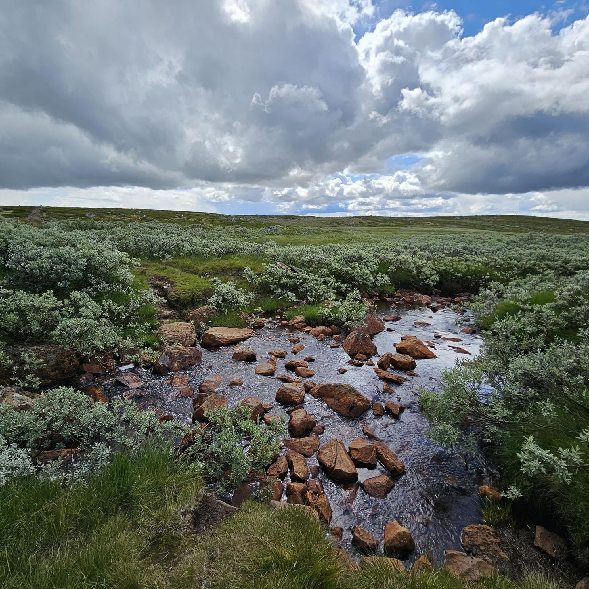
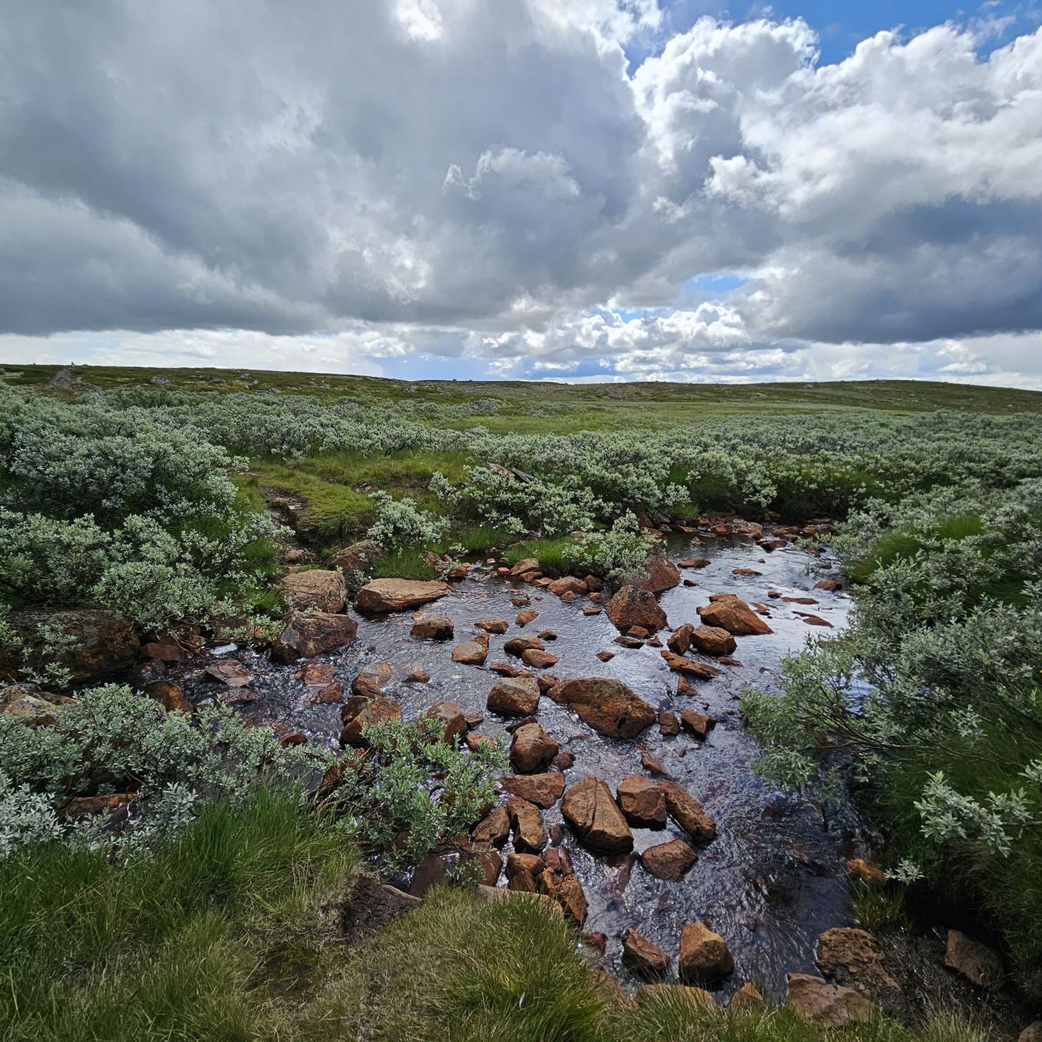
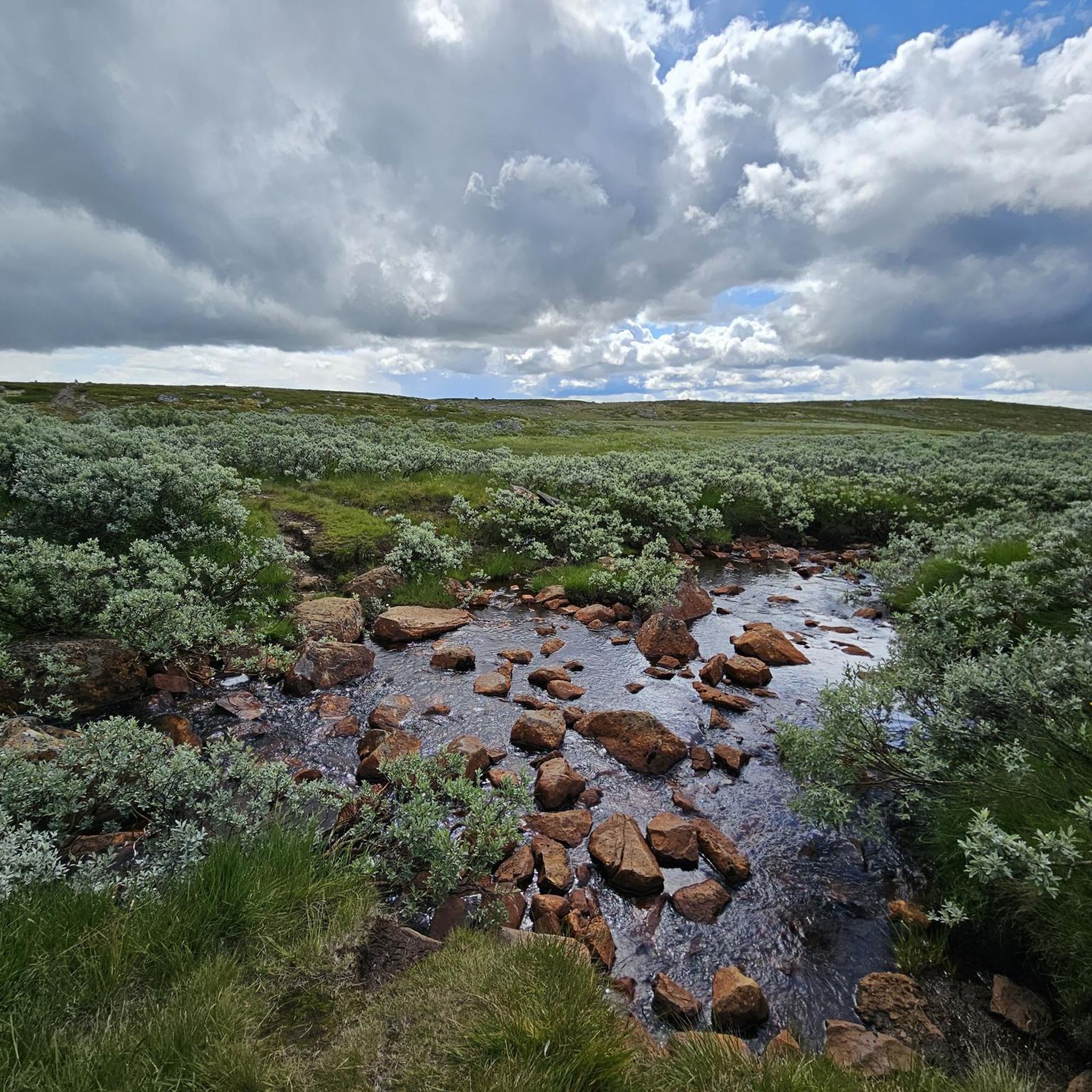
When you start the Hardangervidda you wlak along the Vetle Skiftessjøen lake shore that is typically rocky or forested, featuring crystal-clear water and a high degree of natural beauty and tranquility.
0
0

Open and passable on 12.8.25
0
0

The natural surroundings of Finse are exceptionally beautiful, making it a great starting point for various one-day and multi-day tours. The connection to the train line from Oslo to Bergen also makes travel to and from the area very convenient.
0
0
The Norwegian Trekking Association's cabin is located on the shore of Lake Finsevatnet and is highly recommended for both one- and multi-night stays. The cabin is an excellent starting point for various one-day and multi-day tours. The small town of Finse is located on the railway line from Oslo to Bergen, making arrival and departure relatively straightforward.
0
0
Finse Station is located on the railway line connecting Oslo and Bergen. Finse is the highest station in Scandinavia.
0
0

Still closed in mid-June 2025 and with red warnings
1
0

Finsevatnet is a high-altitude lake located right next to the tiny village of Finse, at 1,214 meters above sea level in the heart of southern Norway. From the railway station or nearby trails, you get a sweeping panorama that captures the remote, untouched feel of Norway’s high mountain plateau.
0
0

Frequently Asked Questions
How many running routes are available in Skaupsjøen / Hardangerjøkulen Landskapsvernområde?
There are 5 dedicated jogging routes in the Skaupsjøen / Hardangerjøkulen Landskapsvernområde, ranging from moderate to difficult. These routes offer diverse experiences across the region's unique high-mountain landscape.
What kind of terrain can I expect on the jogging routes?
The region offers a varied terrain for runners. You'll find everything from relatively flat paths near serene lakes like Finsevatnet to routes with gentle ascents across expansive highlands. Expect rugged mountains, deep valleys, and high mountain plateaus, often with gravel paths, providing a good mix for different running preferences.
Are there options for less experienced runners or beginners?
While many routes are challenging, there is one moderate route available: Vetle Skiftessjøen lakeshore loop from Dyranut. This 13 km path follows the lakeshore, offering a less strenuous option across varied terrain, making it suitable for those looking for a more accessible run.
When is the best time of year to go jogging in this region?
The best time for jogging in Skaupsjøen / Hardangerjøkulen Landskapsvernområde is typically during the late spring, summer, and early autumn months. During these periods, the trails are generally free of snow, and the weather is more favorable for outdoor activities. Always check local weather and trail conditions before heading out, as high-mountain weather can change rapidly.
What natural landmarks or points of interest can I see while running?
Many routes offer stunning views of natural landmarks. You can experience the impressive Hardangerjøkulen Glacier, Norway's sixth-largest, and tranquil lakes like Finsevatnet. The iconic Vøringsfossen waterfall is also nearby, and parts of the historic Rallarvegen, a scenic cycleway, can also be explored on foot.
Are there any routes that offer views of the Hardangerjøkulen glacier?
Yes, several routes provide spectacular views of the Hardangerjøkulen glacier. For instance, the Finsehytta – View of Finse and Blåisen loop from Finse offers views of the surrounding high mountain plateau near the glacier. You can also find dedicated viewpoints like View of the Hardangerjøkulen Glacier along some trails.
Can I find any circular running routes in the area?
Yes, the majority of the jogging routes in Skaupsjøen / Hardangerjøkulen Landskapsvernområde are designed as loops. Examples include the Finsehytta – View of Finse and Blåisen loop from Finse, the Finse – Train Station – View of Finsevatnet loop from Finse, and the Vetle Skiftessjøen lakeshore loop from Dyranut, allowing you to start and finish at the same point.
Are there family-friendly running trails in Skaupsjøen / Hardangerjøkulen Landskapsvernområde?
While many routes are rated difficult, the region does offer paths that can be enjoyed by families, especially those with some outdoor experience. The Vetle Skiftessjøen lakeshore loop from Dyranut is a moderate option that might be suitable for active families looking for a longer, less strenuous run.
Are the jogging routes accessible by public transport?
Yes, some starting points for jogging routes are accessible by public transport. Finse, for example, is a convenient starting point for several tours and is accessible by train, making it easy to reach without a car. This allows for car-free exploration of the high-mountain landscape.
Is parking available near the trailheads?
Parking availability varies by trailhead. Many popular starting points, especially those along main roads like the Norwegian National Road 7 or near mountain lodges, typically offer designated parking areas. It's advisable to check specific route details or local information for parking options at your chosen starting point.
Are dogs allowed on the running trails?
Generally, dogs are allowed on trails in the Skaupsjøen / Hardangerjøkulen Landskapsvernområde, but they must be kept on a leash, especially during certain periods to protect wildlife and grazing animals. Always follow local regulations and be mindful of other trail users and the natural environment.
What makes running in Skaupsjøen / Hardangerjøkulen Landskapsvernområde unique?
Running here offers an unparalleled experience due to the dramatic high-mountain landscape. You'll jog amidst rugged mountains, deep valleys, and expansive plateaus, with the constant presence of the Hardangerjøkulen glacier and serene alpine lakes. The diverse terrain and breathtaking views create a truly unique and memorable outdoor adventure.
Are there any mountain lodges or places to rest along the routes?
Yes, the region is home to several mountain lodges that can serve as excellent bases or resting points. Notable options include DNT Krækkja Mountain Lodge and Fagerheim Fjellstugu. These lodges often provide accommodation, food, and a chance to refuel during or after your run.
Most popular routes in Skaupsjøen / Hardangerjøkulen Landskapsvernområde
Most popular attractions in Skaupsjøen / Hardangerjøkulen Landskapsvernområde

Get inspired with the komoot mobile app


Explore more
Browse the best Running Trails & Routes in other regions.
