The best MTB trails in Skaupsjøen / Hardangerjøkulen Landskapsvernområde
4.6
(22)
189
riders
5
rides
Mountain bike trails in Skaupsjøen / Hardangerjøkulen Landskapsvernområde traverse a landscape defined by majestic mountains, the Hardangerjøkulen glacier, and the expansive Hardangervidda plateau. The region features diverse terrain, from high-mountain plateaus and deep valleys to areas around crystal-clear lakes like Skaupsjøen. This varied environment offers a mix of paths, including relatively flat sections and routes with significant ascents, providing sweeping vistas of the glacier and fjord landscapes.
Best mountain bike trails in Skaupsjøen / Hardangerjøkulen Landskapsvernområde
- The most popular mountain…
Last updated: July 4, 2026
5.0
(1)
2
riders
19.2km
01:48
310m
310m
Moderate mountain bike ride. Good fitness required. Suitable for all skill levels.
3.0
(1)
1
riders
13.0km
01:16
230m
230m
Easy mountain bike ride. Great for any fitness level. Suitable for all skill levels.

Sign up for free
4.9
(15)
138
riders
43.0km
02:36
290m
290m
Moderate mountain bike ride. Good fitness required. Suitable for all skill levels.
5.0
(4)
34
riders
104km
07:46
950m
950m
Hard mountain bike ride. Very good fitness required. Suitable for all skill levels.
5.0
(1)
15
riders
28.6km
01:43
210m
210m
Easy mountain bike ride. Great for any fitness level. Suitable for all skill levels.
Our route recommendations are based on thousands of hikes, rides, and runs completed by other people on komoot.
Start today with a free account
Your next adventure awaits.
Login or Signup
Popular around Skaupsjøen / Hardangerjøkulen Landskapsvernområde

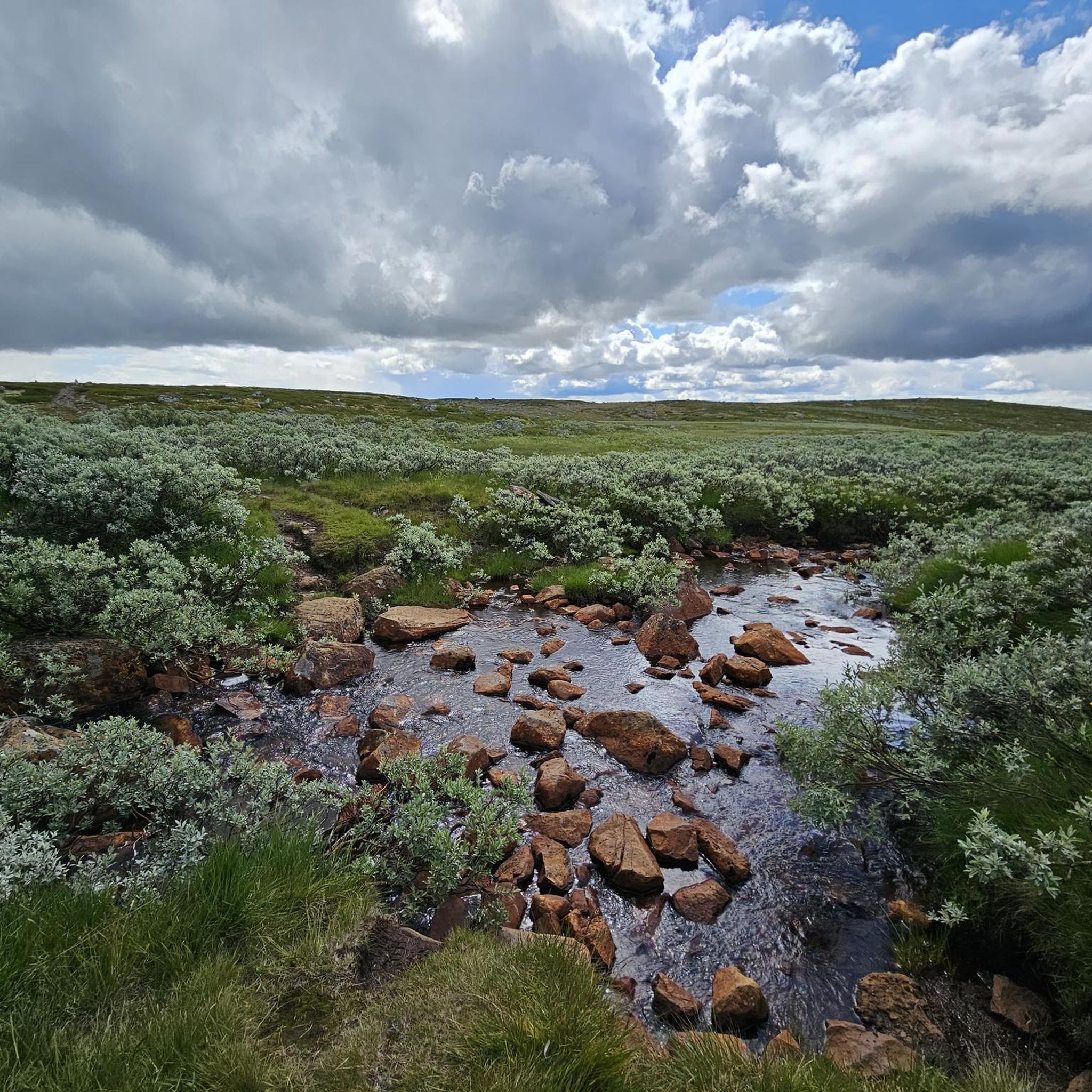
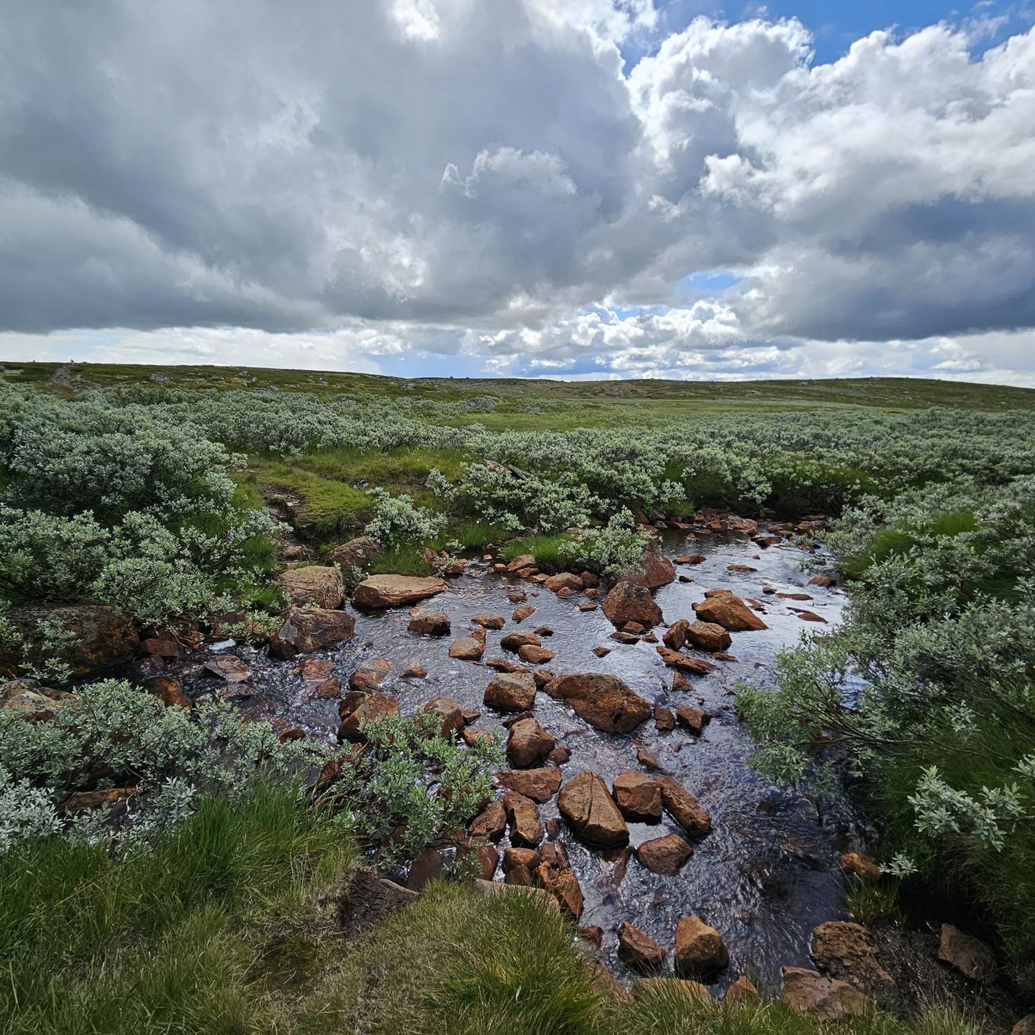
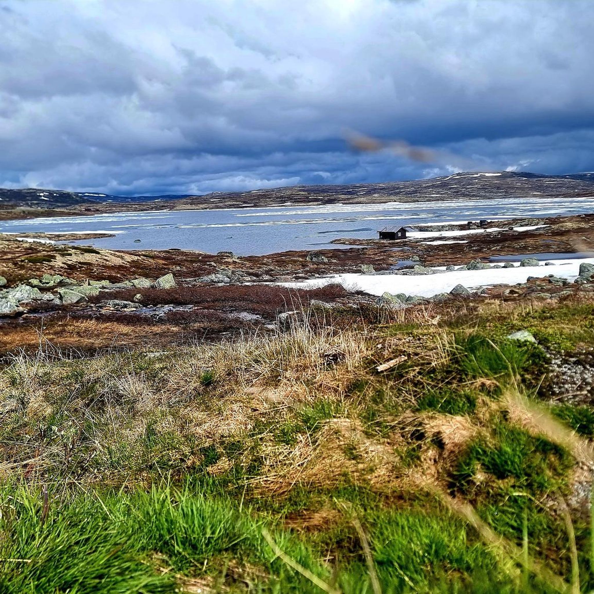
Other adventures in Skaupsjøen / Hardangerjøkulen Landskapsvernområde

Tips from the Community

When you start the Hardangervidda you wlak along the Vetle Skiftessjøen lake shore that is typically rocky or forested, featuring crystal-clear water and a high degree of natural beauty and tranquility.
0
0

Enjoy the open landscapes of Hardangervidda, offering breathtaking views along the way. A perfect way to experience Norway’s highland beauty
0
0

At this point you can rent bikes and they can also help you with the train to Finse or the end point.
0
0

The Hardangervidda in Norway is the largest plateau in Europe with an area of about 8000 km². If you are in the area you have to go there. The vastness is impressive
1
0
The Hardangervidda is Norway's largest national park, covering 3,422 km². If you're in the area, you should take a look at the landscape. Highly recommended.
0
0

Standing on the bridge, you can hear the sound of the river rushing beneath you. A beautiful spot in the magnificent natural surroundings.
0
0
Beautiful route between lakes on one side and the mountains on the other - beautiful view of a waterfall is included free of charge.
0
0
The Rallarvegen begins in Haugastøl (at an altitude of 1000 meters) - a former supply route for the construction of the local railway line. It's beautiful up here - lonely, windy and cold. From here it goes along the railway line all the way up to Finse - at an altitude of 1230 meters.
0
0
Frequently Asked Questions
What kind of mountain biking terrain can I expect in Skaupsjøen / Hardangerjøkulen Landskapsvernområde?
The region offers a diverse high-mountain environment, bordering the expansive Hardangervidda plateau. You'll find rugged mountains, deep valleys, and numerous serene lakes. The terrain varies from relatively flat paths near lakes to routes with significant ascents, providing sweeping vistas of the Hardangerjøkulen glacier and fjord landscapes.
Are there mountain bike trails suitable for beginners or families?
Yes, the area has several easy mountain bike trails. For a less strenuous option, consider the Vetle Skiftessjøen lakeshore loop from Dyranut, an 8.1-mile (13.0 km) path. Another easy route is the Railway Tunnel Entrance – Tungevatn Lake loop from Haugastøl, which is 17.8 miles (28.6 km) long.
Are there challenging mountain bike routes for experienced riders?
Yes, for experienced riders seeking a challenge, the View from Rallarvegen – Waterfall Panorama loop from Haugastøl is a difficult 64.4-mile (103.6 km) trail. This route features significant elevation changes and offers extensive views across the high-mountain landscape.
Can I mountain bike near the Hardangerjøkulen Glacier?
While direct access to the glacier by mountain bike is not possible, many routes in the area offer breathtaking views of the Hardangerjøkulen Glacier. The region's trails are designed to showcase these icy vistas and the surrounding alpine scenery.
What is the Rallarvegen and can I mountain bike on it?
The Rallarvegen is a historical cycle way, particularly popular for its scenic views and varied terrain between Haugastøl and Finse. It's an excellent option for mountain biking. The View from Rallarvegen – Waterfall Panorama loop from Haugastøl incorporates sections of this famous route.
Are there any waterfalls I can see while mountain biking?
Yes, the region is home to impressive natural features. The View from Rallarvegen – Waterfall Panorama loop from Haugastøl is specifically named for its waterfall views. Additionally, the iconic Vøringsfossen waterfall, part of the Norwegian Scenic Route, is a significant landmark in the broader area.
What is the best time of year for mountain biking in this region?
The best time for mountain biking is typically during the snow-free months, generally from late spring through early autumn. Given the high-mountain environment and proximity to the Hardangerjøkulen glacier, trails can be snow-covered for a significant part of the year. Always check local conditions before planning your trip.
Are there any circular mountain bike routes?
Yes, many routes in the area are designed as loops. Popular options include the Beautiful view loop from Tråastølen (11.9 miles / 19.2 km) and the Railway Tunnel Entrance – Tungevatn Lake loop from Haugastøl (26.8 miles / 43.1 km).
What do other mountain bikers enjoy the most about mountain biking in Skaupsjøen / Hardangerjøkulen Landskapsvernområde?
The area is highly rated by the komoot community, with an average score of 4.6 stars from over 20 reviews. Reviewers often praise the stunning high-mountain scenery, the diverse terrain, and the sweeping vistas of the glacier and fjord landscapes.
Are there places to stay or eat near the mountain bike trails?
Yes, the region offers some amenities. The DNT Krækkja Mountain Lodge and Fagerheim Fjellstugu are historic mountain huts that provide accommodation and catering services, serving as excellent bases or stopovers for exploring the Hardangervidda plateau.
Is public transport available to access mountain bike trails?
Public transport options, particularly train services, can provide access to key points like Finse and Haugastøl, which are popular starting points for routes like the Rallarvegen. It's advisable to check specific train schedules and bike transport policies when planning your trip.
Most popular routes in Skaupsjøen / Hardangerjøkulen Landskapsvernområde
Most popular attractions in Skaupsjøen / Hardangerjøkulen Landskapsvernområde

Get inspired with the komoot mobile app


Explore more
Browse the best MTB trails in other regions.
