The best cycling routes in Skaupsjøen / Hardangerjøkulen Landskapsvernområde
5.0
(26)
371
riders
6
rides
Touring cycling routes in Skaupsjøen / Hardangerjøkulen Landskapsvernområde traverse a high-mountain environment characterized by the Hardangerjøkulen glacier and expansive mountain plateaus. The region features numerous crystal-clear lakes, such as Skaupsjøen, and wild rivers fed by snowmelt. Routes often descend into lush valleys, offering views of fjords. The terrain includes gravel paths and some paved sections, with varied elevation changes.
Best touring cycling routes in Skaupsjøen / Hardangerjøkulen Landskapsvernområde
- The most popular touring cycling route is Rallarvegen: Haugastøl to Flåm,…
Last updated: July 10, 2026
5.0
(2)
21
riders
19.5km
01:53
170m
170m
Moderate bike ride. Good fitness required. Mostly paved surfaces. Suitable for all skill levels.
6
riders
16.9km
01:13
110m
110m
Easy bike ride. Great for any fitness level. Mostly paved surfaces. Suitable for all skill levels.

Sign up for free
5.0
(2)
19
riders
19.5km
01:58
310m
310m
Moderate bike ride. Good fitness required. Mostly paved surfaces. Suitable for all skill levels.
5.0
(5)
211
riders
81.9km
06:26
790m
1,770m
Hard bike ride. Very good fitness required. Mostly paved surfaces. Suitable for all skill levels.
5.0
(5)
59
riders
Hard bike ride. Very good fitness required. Mostly paved surfaces. Suitable for all skill levels.
Our route recommendations are based on thousands of hikes, rides, and runs completed by other people on komoot.
Start today with a free account
Your next adventure awaits.
Login or Signup
Popular around Skaupsjøen / Hardangerjøkulen Landskapsvernområde

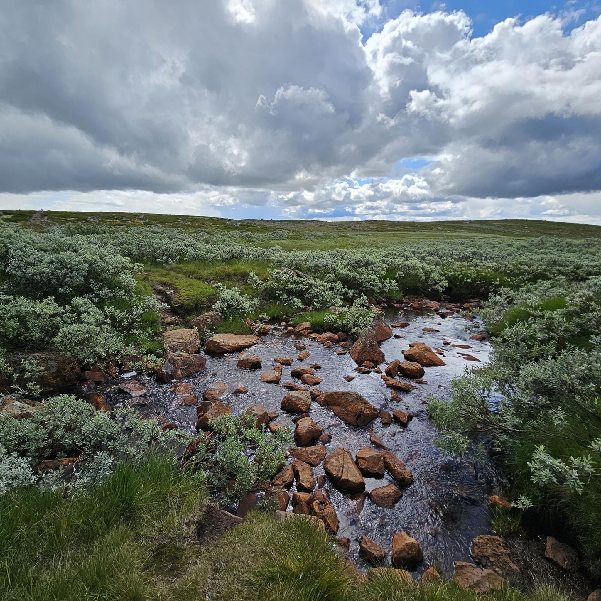
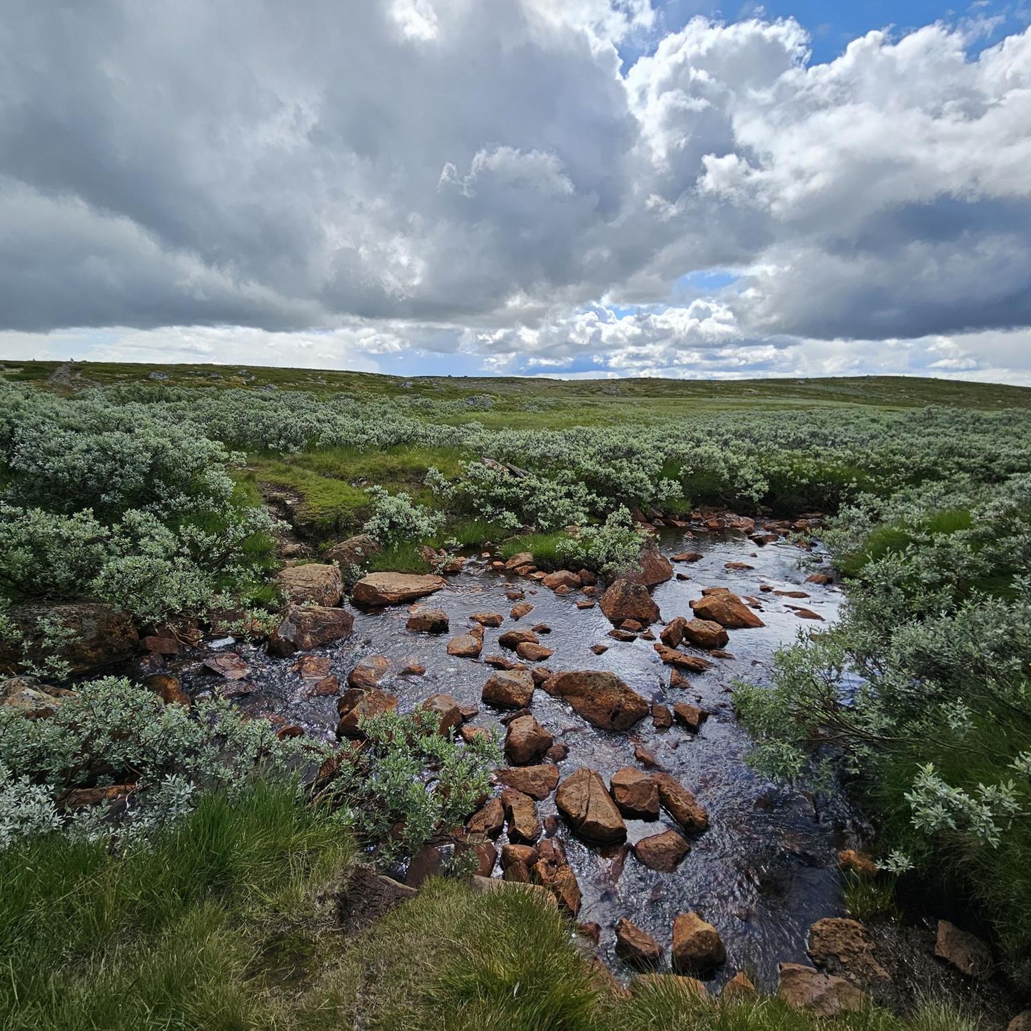
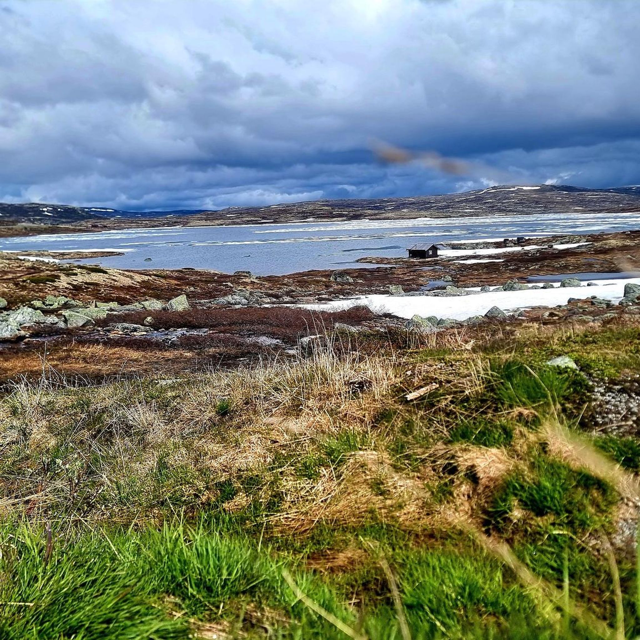
Other adventures in Skaupsjøen / Hardangerjøkulen Landskapsvernområde

Tips from the Community

The gravel track along Nedsta Storurevatnet is one of the most scenic stretches of the route. It hugs the shoreline closely, with shimmering water on one side and steep mountainsides on the other. The surface is generally good, though it can be loose and stony in places.
1
0

The natural surroundings of Finse are exceptionally beautiful, making it a great starting point for various one-day and multi-day tours. The connection to the train line from Oslo to Bergen also makes travel to and from the area very convenient.
0
0
Finse Station is located on the railway line connecting Oslo and Bergen. Finse is the highest station in Scandinavia.
0
0

Peace, space, beautiful view
1
0

Enjoy the open landscapes of Hardangervidda, offering breathtaking views along the way. A perfect way to experience Norway’s highland beauty
0
0

Small church with an adjacent cemetery. Easily accessible from the fjord.
0
0

The station is the destination of many cyclists on the Rallarvegen coming from Haugastøl. It is the highest station in Northern Europe at 1222 meters and is surrounded by a unique landscape. You can sit here for a break and wonder where all the people waiting for the train in this wilderness come from. The station is also famous for its webcam, which you can use to observe the Norwegian winter.
0
0

I also took a short rest under one of these underpasses - from the constant cold wind and drizzle.
0
0
Frequently Asked Questions
What kind of terrain can I expect on the touring cycling routes in Skaupsjøen / Hardangerjøkulen Landskapsvernområde?
The region features a dramatic high-mountain environment, including the vast Hardangervidda plateau. You'll encounter a mix of gravel paths and some paved sections, with varied elevation changes. Routes often traverse rugged mountains and open vistas, with some descending into lush valleys offering fjord views.
Are there any easy touring cycling routes suitable for beginners or families?
Yes, there is one easy touring cycling route. The Finsehytta Hostel – Path by the Lake Near Finse loop from Finse is an easy 10.5-mile (16.9 km) path, perfect for those looking for a less challenging ride around the Finse area.
What are some notable landmarks or natural features I can see along the cycling routes?
The area is rich in natural beauty. You can admire the impressive Hardangerjøkulen Glacier from various viewpoints, including specific spots like View of the Hardangerjøkulen Glacier. The historic Rallarvegen itself is a highlight, and you'll pass crystal-clear lakes and wild rivers fed by snowmelt. The Wooden Boardwalk in Hardangervidda National Park is another unique feature.
When is the best time of year to go touring cycling in this region?
The best time for touring cycling in Skaupsjøen / Hardangerjøkulen Landskapsvernområde is generally from July through late September. During this period, snow conditions are usually favorable, and the weather is more stable, allowing access to the high-mountain routes like the Rallarvegen.
Are there any circular touring cycling routes available?
Yes, several routes offer a circular experience. For example, the Rallarvegen – Steinreich Pass Summit loop from Finse is a moderate 12.1-mile (19.5 km) loop. Another option is the Finsehytta Hostel – Path by the Lake Near Finse loop from Finse, an easy 10.5-mile (16.9 km) route.
What do other touring cyclists enjoy most about the routes here?
The touring cycling routes in Skaupsjøen / Hardangerjøkulen Landskapsvernområde are highly rated by the komoot community, with an average score of 4.95 stars from over 27 reviews. Cyclists often praise the dramatic glacial landscapes, the expansive mountain plateaus, and the unique experience of cycling along historic railway paths like the Rallarvegen.
How can I access the cycling routes using public transport?
The village of Finse, located along the Rallarvegen, is home to Norway's highest railway station and is a key access point. You can reach Finse by train, making it convenient to start or end your cycling adventure there. For routes starting from Haugastøl, public transport options are also available to reach this starting point.
Are there any challenging touring cycling routes for experienced riders?
Yes, there are challenging options for experienced touring cyclists. The iconic Rallarvegen: Haugastøl to Flåm is a difficult 50.9-mile (81.9 km) route, offering significant elevation changes and diverse scenery. Another difficult option is the Rallarvegen Riverside Path – Path by the Lake Near Finse loop from Haugastøl, a 55.8-mile (89.8 km) path with extensive views across the Hardangervidda plateau.
Are there places to stay or eat near the cycling routes?
Yes, especially around key points like Finse and Haugastøl. Finse offers accommodation options such as Finsehytta Hostel, and you can find cafes and restaurants there. The region also has mountain lodges like DNT Krækkja Mountain Lodge and Fagerheim Fjellstugu, which can provide amenities for cyclists.
Do I need any special permits to cycle in Skaupsjøen / Hardangerjøkulen Landskapsvernområde?
Skaupsjøen / Hardangerjøkulen is a landscape protection area. While general cycling on established routes like the Rallarvegen does not typically require special permits, it's always advisable to check local regulations, especially if you plan to venture off marked paths or stay overnight in specific areas. You can find more information about the protected area on Wikipedia.
How long does it typically take to complete a touring cycling route in this area?
The duration varies significantly by route and your pace. For example, the popular Rallarvegen: Haugastøl to Flåm, which is 50.9 miles (81.9 km), typically takes around 6 hours and 26 minutes. Shorter loops, like the Rallarvegen – Steinreich Pass Summit loop from Finse (12.1 miles / 19.5 km), can be completed in about 1 hour and 53 minutes.
Most popular routes in Skaupsjøen / Hardangerjøkulen Landskapsvernområde
Most popular attractions in Skaupsjøen / Hardangerjøkulen Landskapsvernområde

Get inspired with the komoot mobile app


Explore more
Browse the best Cycling routes in other regions.
