Top 9 Natural Monuments in Superior National Forest
Best natural monuments in Superior National Forest include a vast array of geological formations and diverse ecosystems across its nearly 4 million acres in Minnesota's Arrowhead Region. This water-rich landscape features over 2,000 lakes and rivers, offering a unique environment for exploration. The forest serves as a transition zone between boreal and deciduous forests, supporting a rich biodiversity of plant and animal life. It provides opportunities to observe significant natural features and wilderness areas.
Best natural monuments in Superior National…
Last updated: May 11, 2026
Temperance River Gorge
Highlight • Gorge
Tip by

Devil's Kettle Falls
Highlight • Waterfall
Tip by
Sign up now to discover places like this
Get recommendations on the best single tracks, peaks, & plenty of other exciting outdoor places.
Sign up for free
Butterwort Cliffs State Scientific and Natural Area
Highlight • Natural Monument
Tip by
Rose Lake
Highlight • Lake
Tip by

Upper Falls (Brule River)
Highlight • Waterfall
Tip by

Sign up for free to discover even more natural monuments in Superior National Forest.
Sign up for free
Already have an account?
Start today with a free account
Your next adventure awaits.
Login or Signup
Popular around Superior National Forest

North Country Trail – 4,800 Miles along the edge of northern U.S.
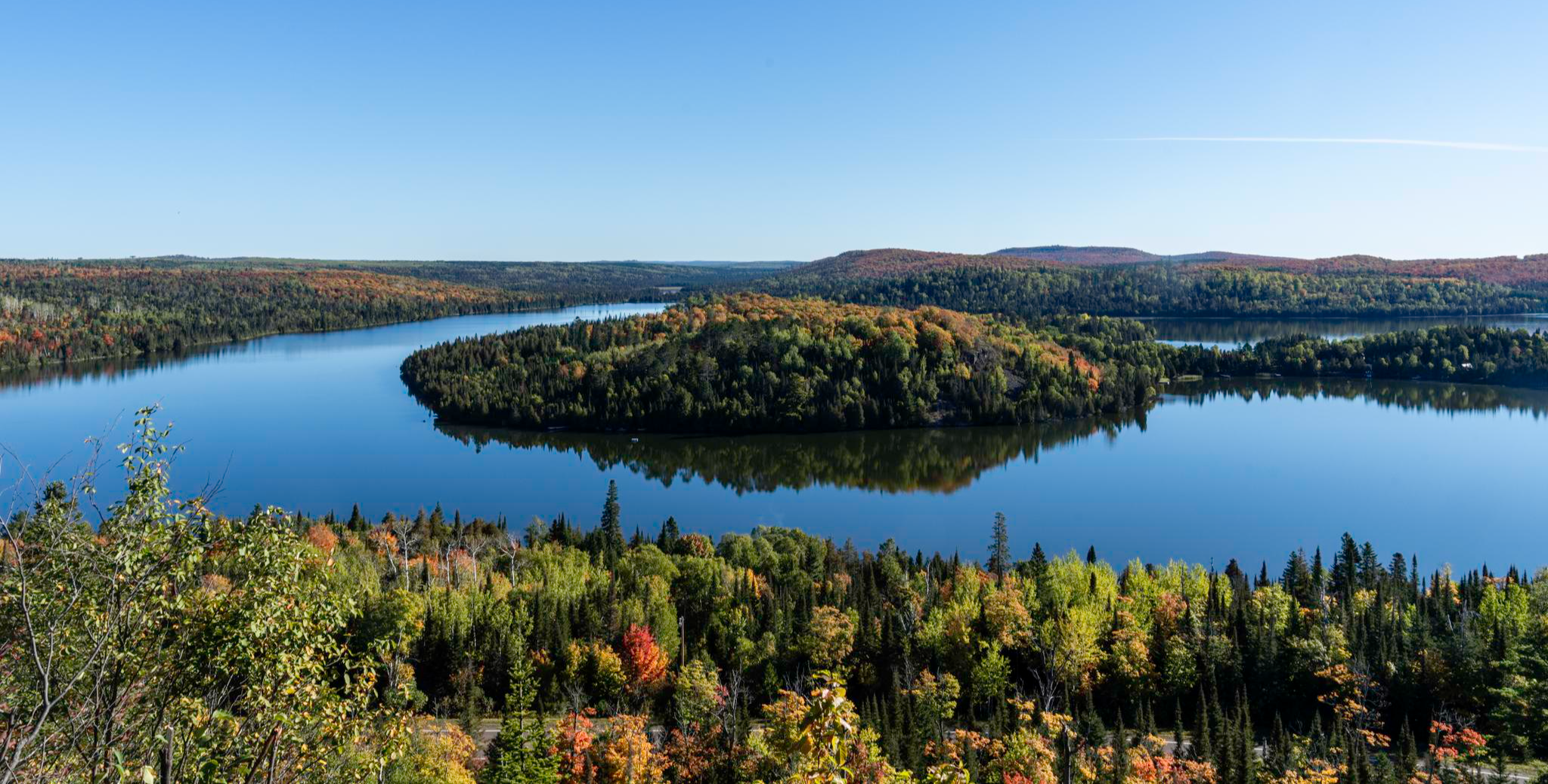
Superior Hiking Trail — Where the forest meets the lake
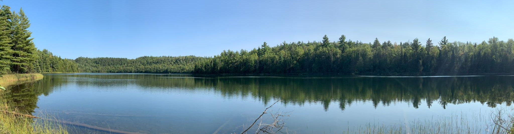
Border Route Trail — A remote Northwoods backpacking challenge
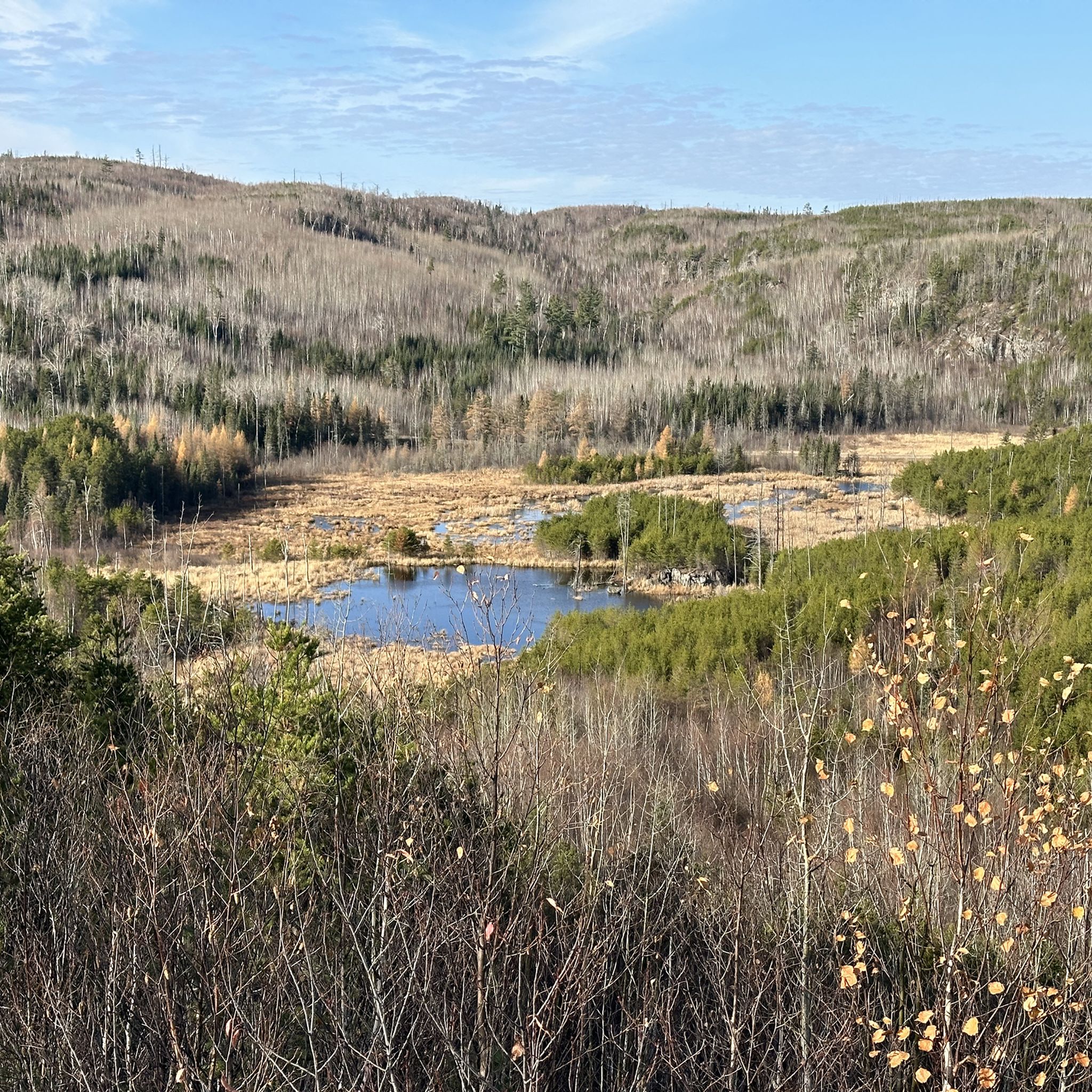
Hiking in Superior National Forest
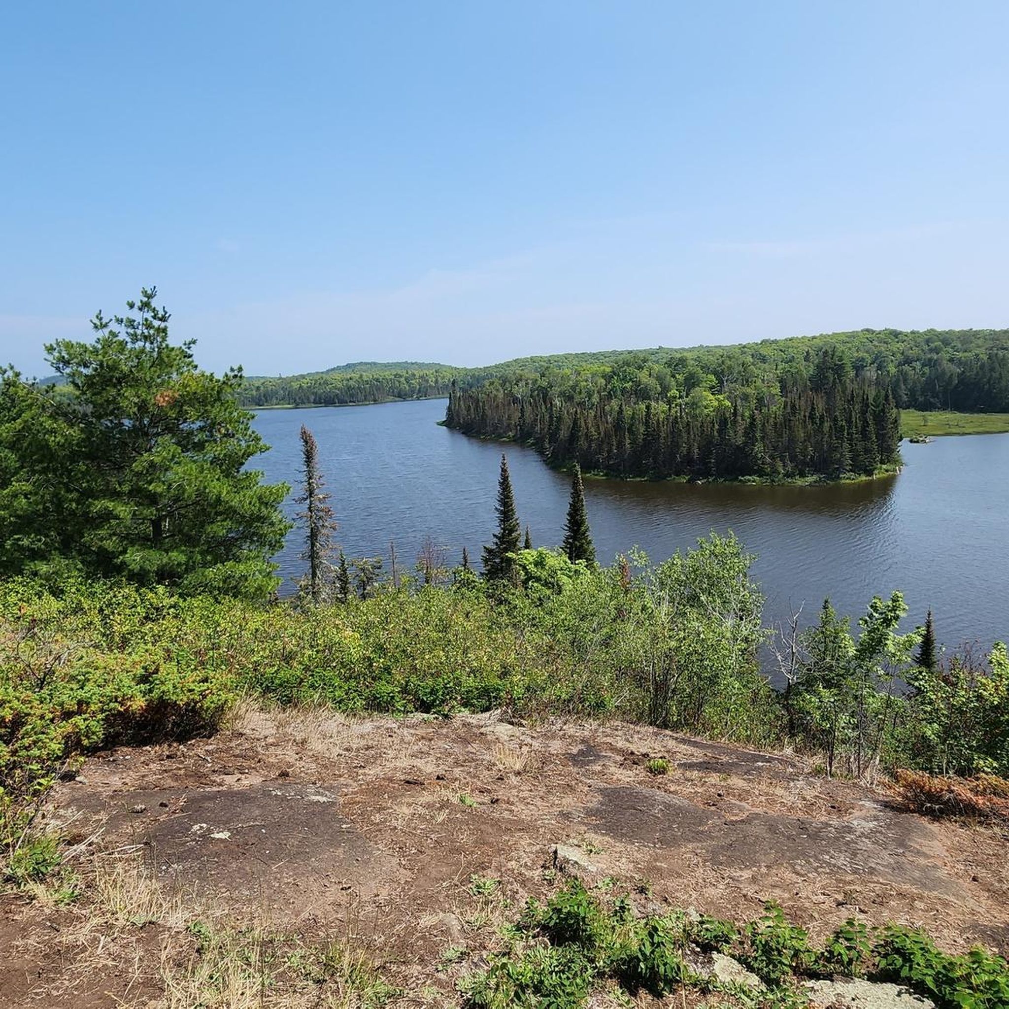
Running Trails in Superior National Forest
Road Cycling Routes in Superior National Forest
Cycling in Superior National Forest
MTB Trails in Superior National Forest
Other adventures in Superior National Forest


Tips from the Community

There are no designated trails in the Butterwort Cliffs SNA, so exploring the area alone is not recommended. Cascade River State Park occasionally offers interpretive walks through the Butterwort Cliffs Scientific and Natural Area (SNA). Please note that the area is closed from April 1 to July 15 due to its status as a bird sanctuary. It’s just nice to know it's there! Alpine butterwort, the namesake of the area, is a carnivorous flowering plant that is endangered in Wisconsin and listed as “of special concern” in Minnesota due to its declining habitat. This plant is carnivorous because it traps small insects that crawl across its sticky, ground-hugging leaves. The insects become stuck, and the plant digests them using specialized enzymes. Two brown SNA signs mark the location of the SNA, both located just off the shoulder of Highway 61: one at the northeast corner of the SNA and the other at the northwest corner of the property.
0
0

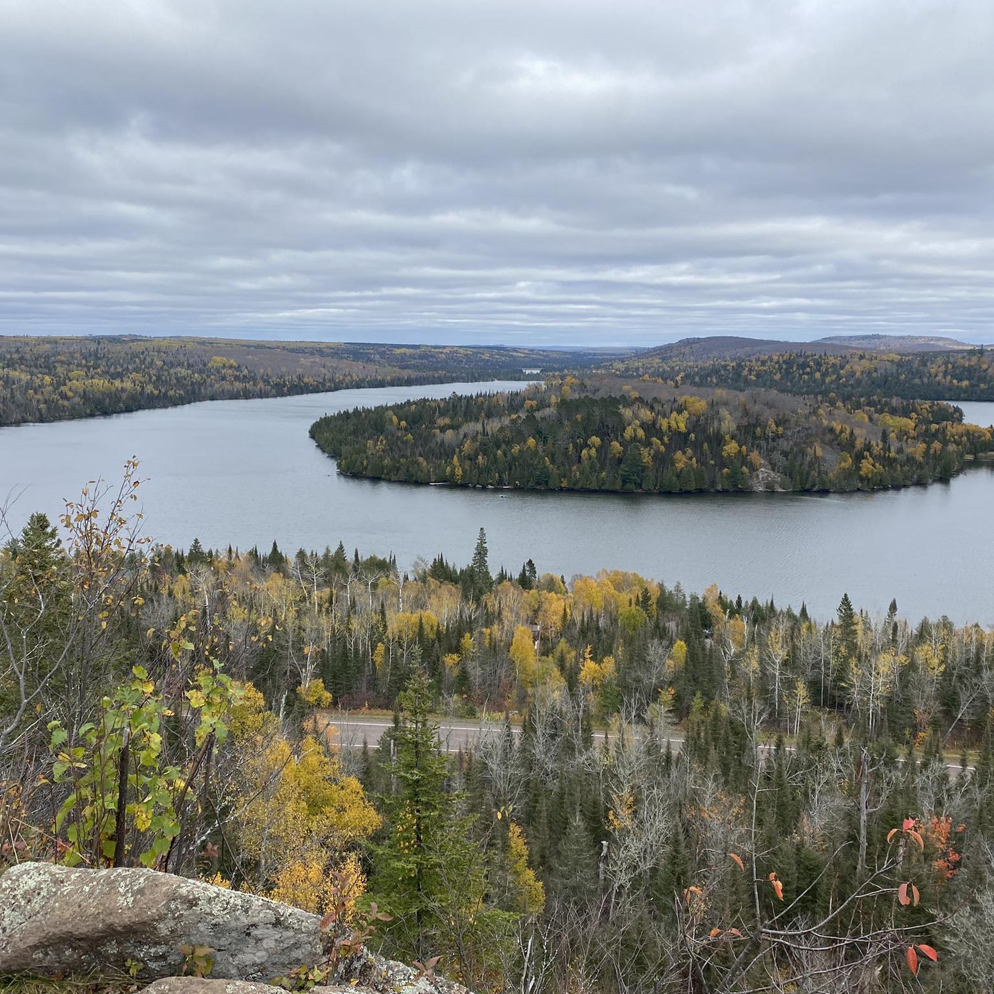
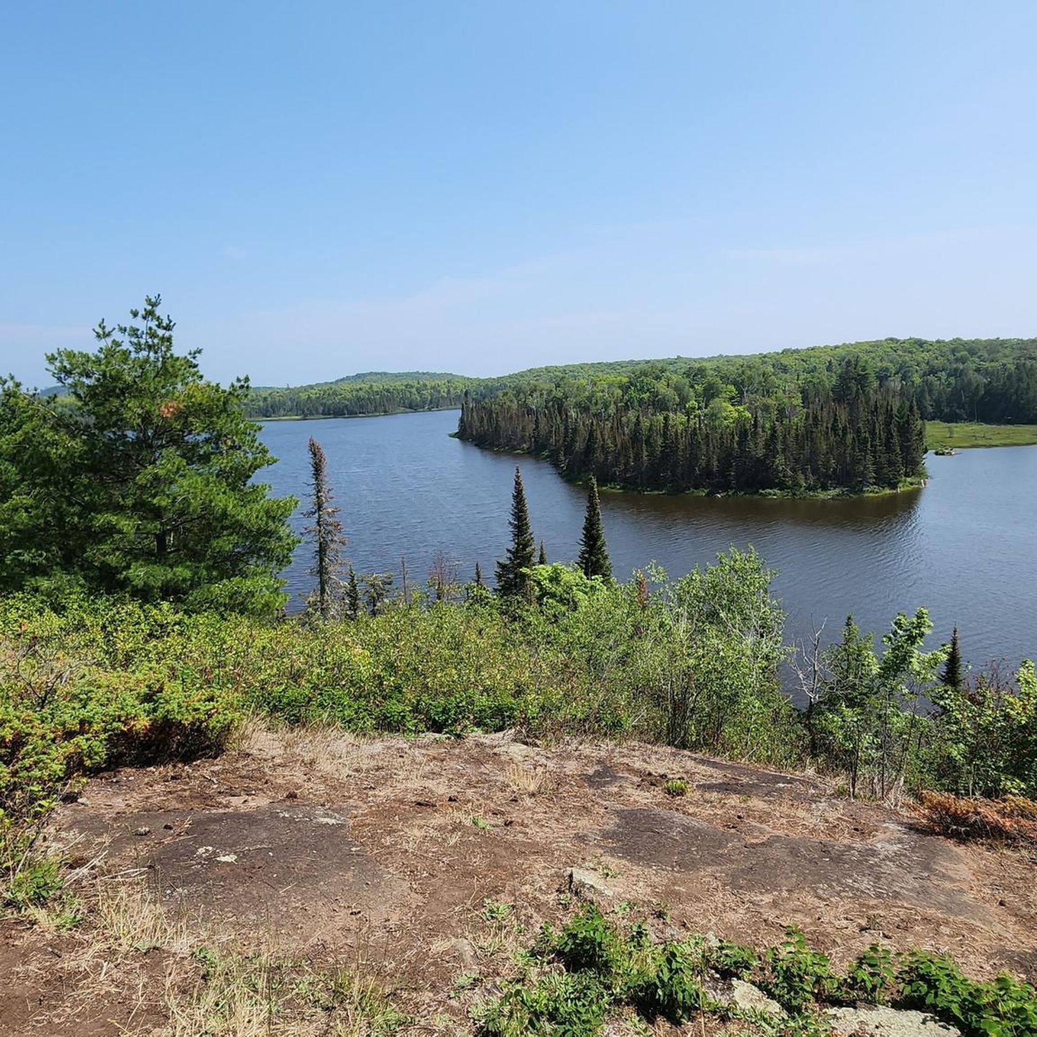
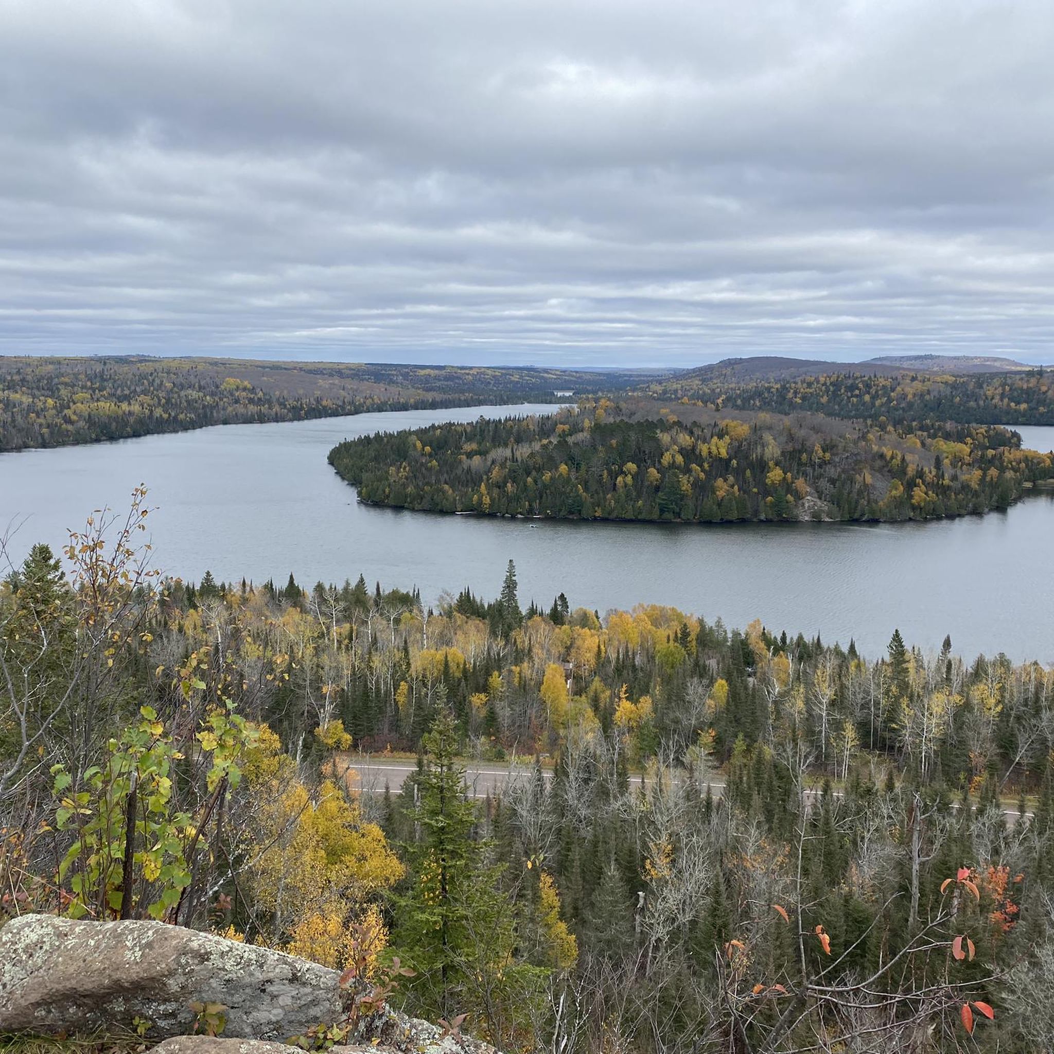
This beautiful lake lies on the international border between the United States and Canada, nestled within the Boundary Waters (BWCAW). The boundary line runs right down the center of the lake instead of following the land, resulting from a treaty establishing the border based on historical canoe routes used by voyageurs. The only access to the lake is by canoe through portages from Duncan Lake, or by hiking the Border Route Trail or Caribou Rock Trail. In many areas along the shoreline, cliffs rise 300 to 400 feet above the lake's surface, formed by hard slates that resist erosion, creating stunning natural scenic overlooks.
0
0

Upper Falls Can be found just downstream from Devil's Kettle Falls. While a relatively short waterfall, the amount of water going over the falls makes for an impressive sight.
0
0
The views from the cliff top are spectacular, but be careful! Visitors have been known to have fallen in and swept to a watery demise.
3
0
The Gitchi-Gami State Trail crosses the Temperance River affording excellent views of the gorge.
3
0
This waterfall splits in two at an outcropping of volcanic rock. The water to the east side of the outcropping plunges into a pool below as expected. However, the water on the west side of the outcropping falls into a hole and disappears from view. Visitors have long wondered where the water on the west side of the waterfall ends. Recently, the Department of Natural Resources' geologists have determined that the water that falls into the hole rejoins the stream just downstream of the falls.
3
0
Frequently Asked Questions
Are there family-friendly natural monuments in Superior National Forest?
Yes, Rose Lake is considered family-friendly and also allows dogs. While the access involves canoeing or hiking the Border Route Trail or Caribou Rock Trail, the destination itself offers stunning views and a unique experience on the US-Canada border.
What kind of wildlife can I expect to see near the natural monuments?
Superior National Forest is a rich ecosystem, home to diverse wildlife. Visitors might spot white-tailed deer, moose, Canadian lynx, black bears, and gray wolves. Birdwatchers can enjoy over 163 nesting species, including bald eagles and common loons, especially in areas like the Butterwort Cliffs SNA which is a bird sanctuary.
What unique geological features can I explore in Superior National Forest?
Beyond the dramatic gorges and waterfalls, you can visit the Devil's Kettle Falls, where a portion of the river mysteriously disappears into a hole. The Laurentian Divide, a significant geological feature, also runs through the forest, separating watersheds that flow to the Arctic Ocean from those draining to the Atlantic.
Are there any natural monuments that are particularly challenging to access?
Yes, both Butterwort Cliffs State Scientific and Natural Area and Rose Lake are considered challenging. Butterwort Cliffs has no designated trails, and exploring alone is not recommended. Rose Lake is only accessible by canoe through portages or by hiking the Border Route Trail or Caribou Rock Trail.
What outdoor activities can I do near these natural monuments?
The Superior National Forest offers extensive opportunities for outdoor activities. You can find numerous running trails, such as the Bass and Dry Lake Loop or Powwow Trail, by visiting the Running Trails in Superior National Forest guide. For cyclists, there are road cycling routes like the Temperance River Gorge loop, detailed in the Road Cycling Routes in Superior National Forest guide, and general cycling routes like the Fall River waterfalls loop in the Cycling in Superior National Forest guide.
Is it possible to hike to Minnesota's highest point within the forest?
Yes, Eagle Mountain, Minnesota's highest natural point at 2,301 feet (701 m), is located within the Superior National Forest. It offers a compelling destination for hikers seeking a summit experience and panoramic views of the surrounding forest.
What is the best time of year to visit the natural monuments in Superior National Forest?
The best time to visit largely depends on your preferred activities. Spring and fall offer beautiful scenery and fewer bugs, though spring can have muddy trails. Summer is ideal for water activities but also brings more visitors and the 'bug season.' Winter provides opportunities for snowshoeing and cross-country skiing, but access to some areas may be limited.
Are there any natural monuments that are also bird sanctuaries?
Yes, the Butterwort Cliffs State Scientific and Natural Area is designated as a bird sanctuary. Due to this, it is closed to visitors from April 1 to July 15 during the nesting season to protect the bird populations.
What makes the Boundary Waters Canoe Area Wilderness (BWCAW) a significant natural monument?
The BWCAW, located within the Superior National Forest, is America's most visited wilderness and the only lake-land wilderness in the National Wilderness Preservation System. It spans over a million acres with approximately 1,175 glacial lakes and hundreds of miles of streams, offering unparalleled opportunities for canoeing, kayaking, and experiencing a pristine boreal forest ecosystem.
Are there any natural monuments with unique plant life?
The Butterwort Cliffs State Scientific and Natural Area is named for its carnivorous butterwort plants. These unique flowering plants trap small insects on their sticky leaves and digest them with specialized enzymes. This area is crucial for the preservation of this species.
What should I pack for hiking to natural monuments in Superior National Forest?
Given the varied terrain and wilderness nature, it's advisable to pack layers of clothing, sturdy hiking boots, plenty of water, snacks, a map and compass or GPS device, insect repellent (especially during warmer months), and rain gear. For more challenging areas, consider a first-aid kit and emergency supplies.
Do I need a permit to visit natural monuments in Superior National Forest?
While many areas of the Superior National Forest are open for general recreation without a specific permit, certain areas like the Boundary Waters Canoe Area Wilderness (BWCAW) require permits for entry, especially for overnight trips. It's always best to check the official Superior National Forest website for the most current permit requirements for your planned activities and locations.
Most popular routes in Superior National Forest
Most popular attractions in Superior National Forest

Get inspired with the komoot mobile app


Explore more
Extend your search for the best caves by checking out these guides of the top ones in Superior National Forest:
