The best cycling routes in Superior National Forest
4.9
(21)
179
riders
24
rides
Touring cycling in Superior National Forest offers diverse landscapes, extensive trail systems, and significant natural features. The region is characterized by ancient geological formations, pristine wilderness, and a mix of paved trails and gravel forest roads. Rugged cliffs, crags, rocky shores, and thousands of lakes and streams define the terrain, shaped by ancient volcanoes and glaciers. This environment provides varied cycling experiences for different skill levels.
Best touring cycling routes in Superior National Forest
- The most popular touring cycling route…
Last updated: October 2, 2026
4.7
(11)
28
riders
17.0km
01:02
150m
150m
Easy bike ride. Great for any fitness level. Mostly paved surfaces. Suitable for all skill levels.
5.0
(1)
13
riders
48.9km
02:59
410m
410m
Moderate bike ride. Good fitness required. Mostly paved surfaces. Suitable for all skill levels.

5.0
(1)
15
riders
67.8km
04:07
430m
430m
Moderate bike ride. Good fitness required. Mostly paved surfaces. Suitable for all skill levels.
6
riders
39.6km
02:24
300m
300m
Moderate bike ride. Good fitness required. Mostly paved surfaces. Suitable for all skill levels.
5.0
(1)
5
riders
24.9km
01:29
150m
150m
Moderate bike ride. Good fitness required. Mostly paved surfaces. Suitable for all skill levels.
Get access to more routes and recommendations from other explorers.
Already have an account?
Our route recommendations are based on thousands of hikes, rides, and runs completed by other people on komoot.
Start today with a free account
Your next adventure awaits.
Popular around Superior National Forest

North Country Trail – 4,800 Miles along the edge of northern U.S.
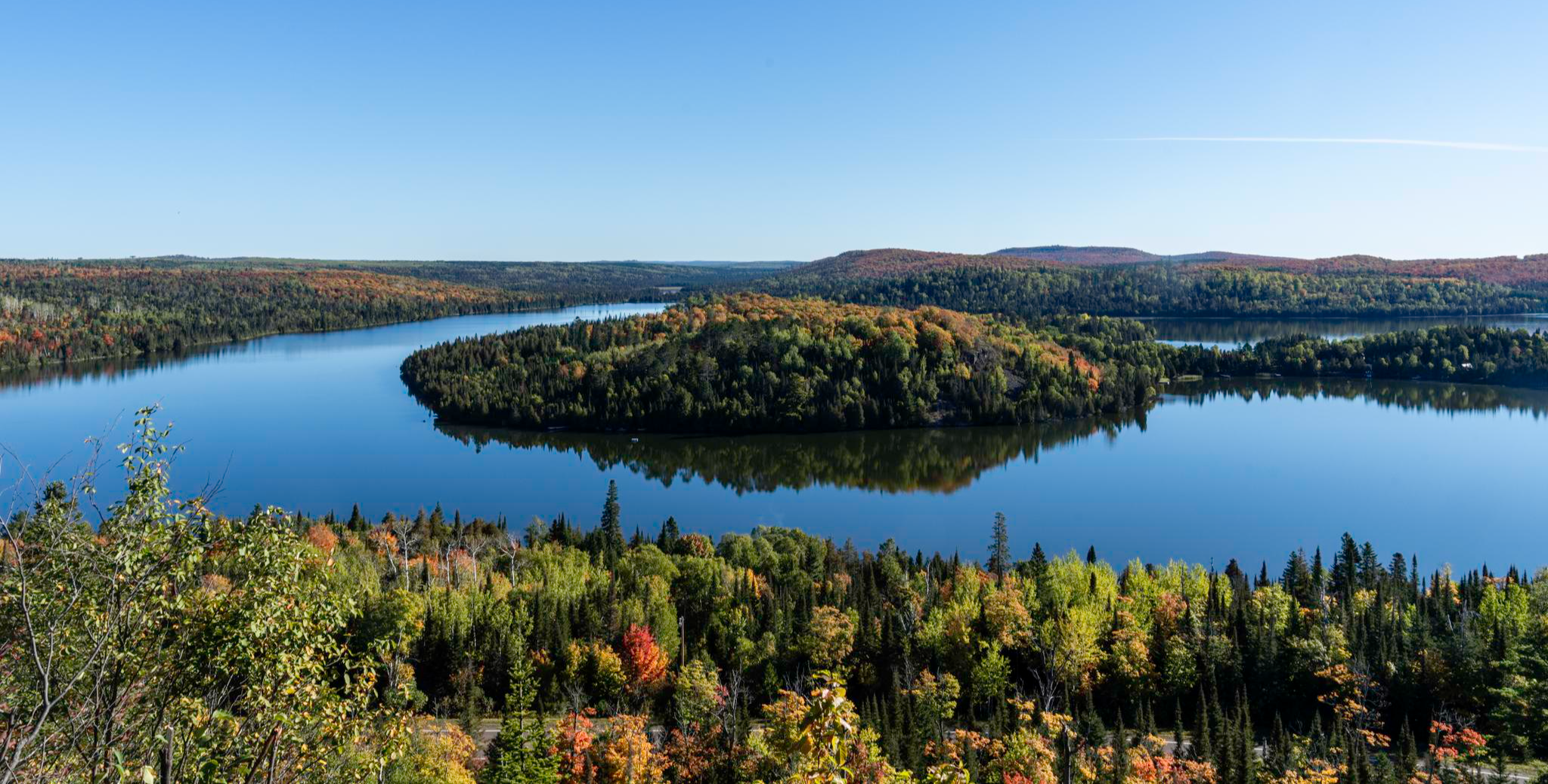
Superior Hiking Trail — Where the forest meets the lake
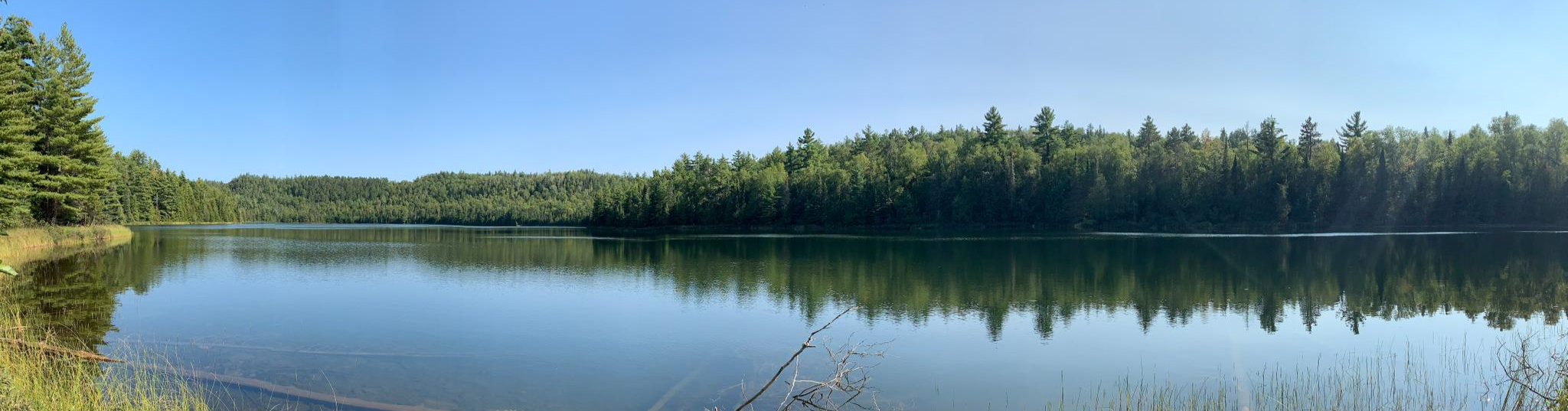
Border Route Trail — A remote Northwoods backpacking challenge
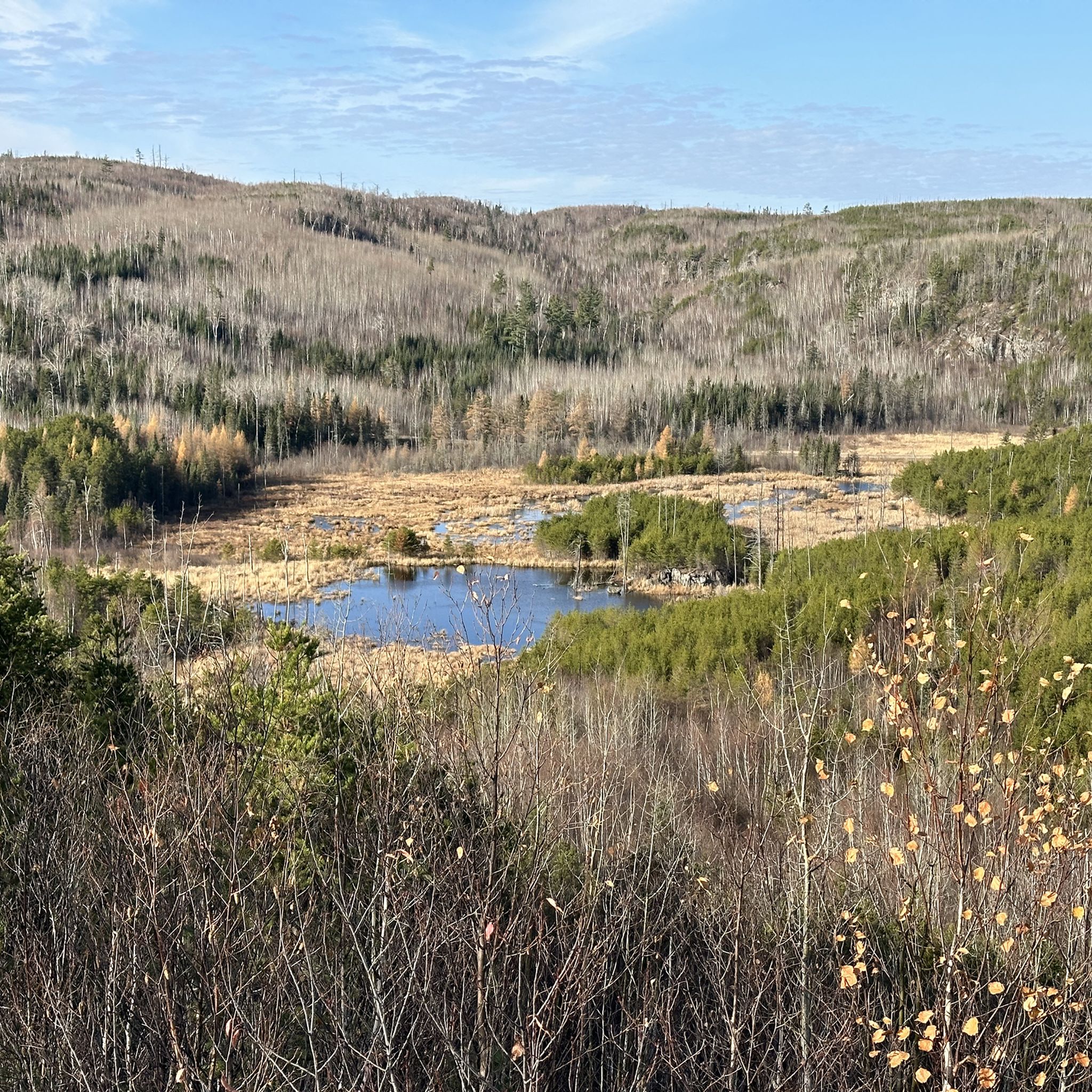
Hiking in Superior National Forest
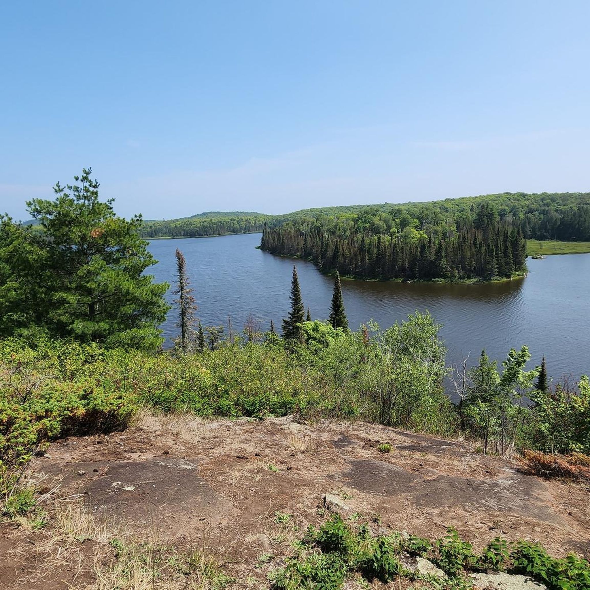
Running Trails in Superior National Forest
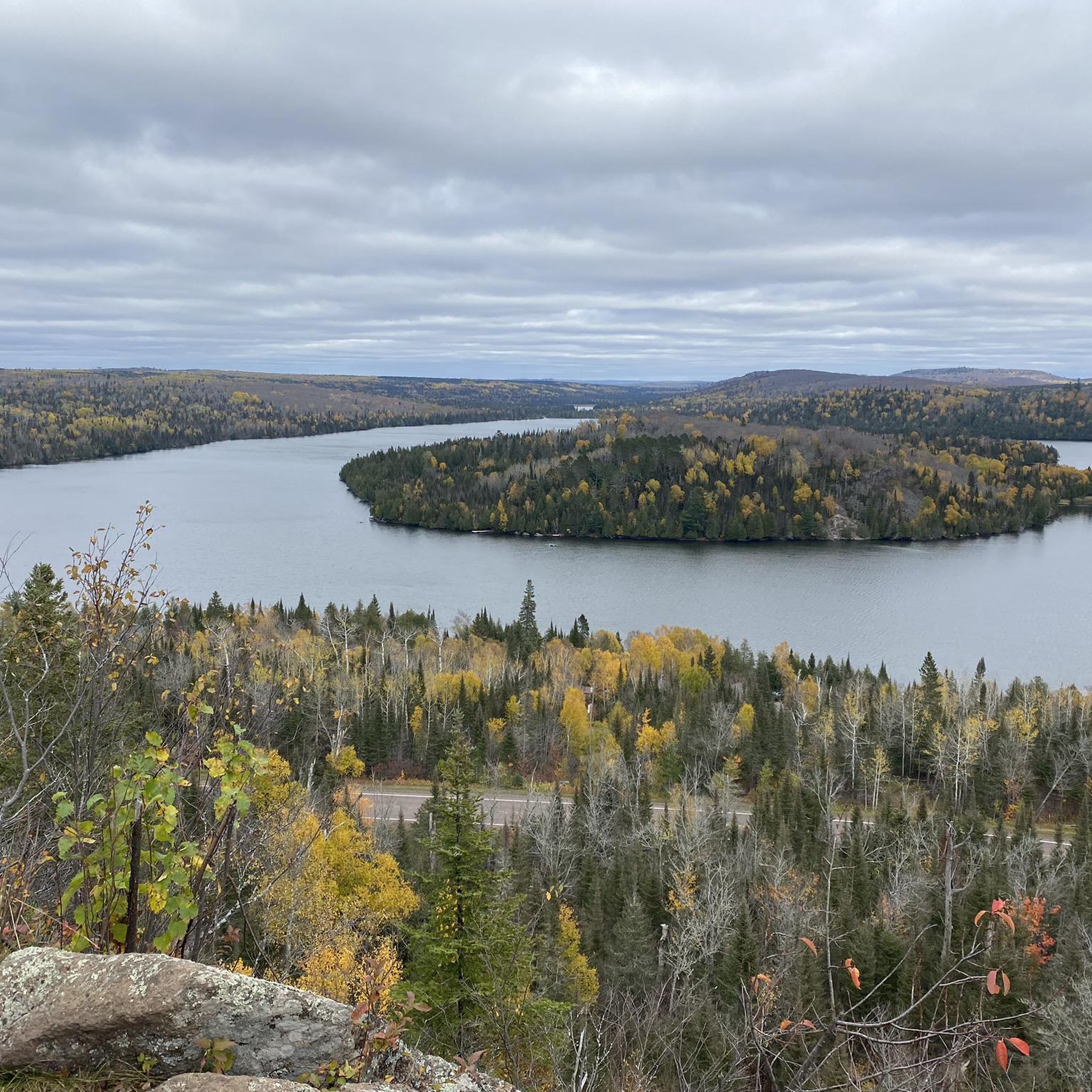
Road Cycling Routes in Superior National Forest
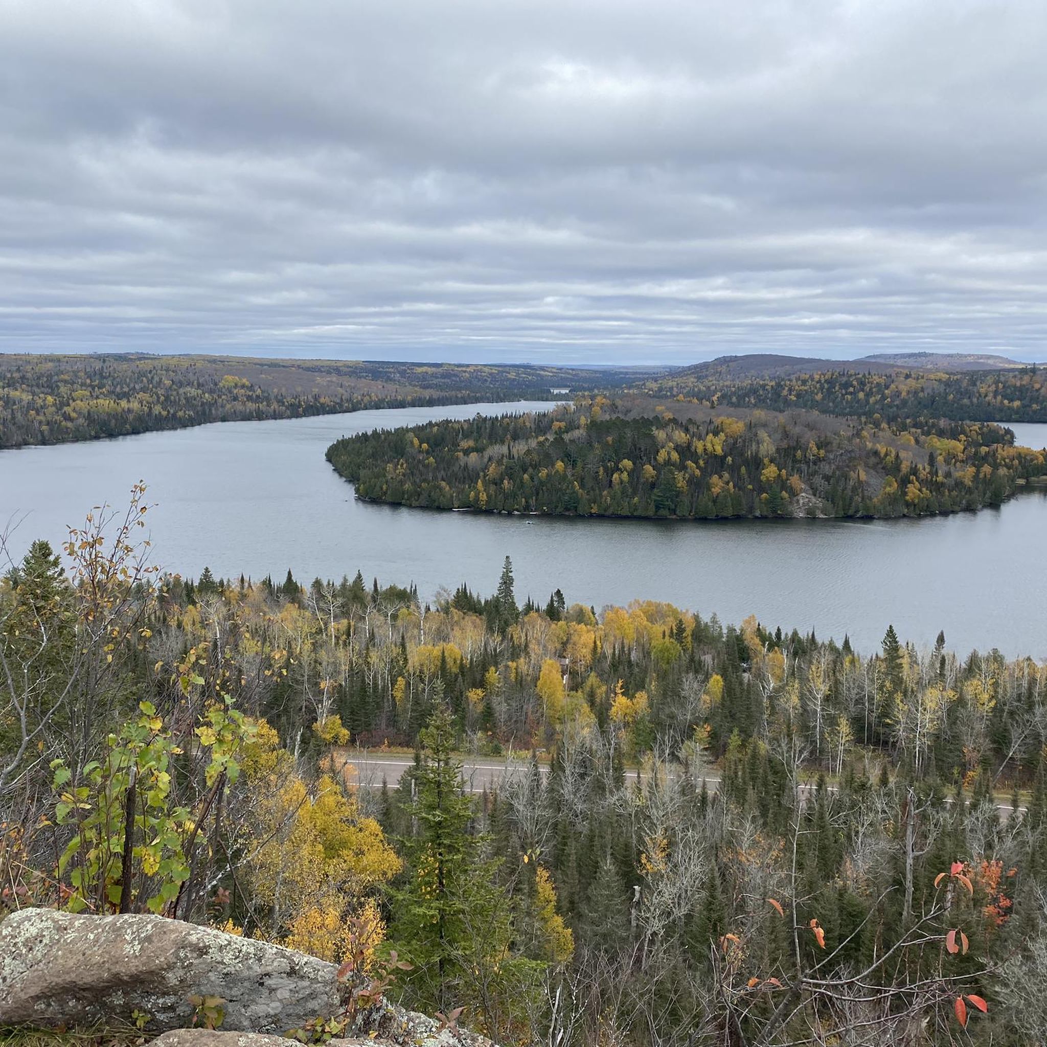
MTB Trails in Superior National Forest
Other adventures in Superior National Forest


Tips from the Community

Ely is a key gateway town and a meeting point for several trails, including the Mesabi Trail, the NCT, and the Kekekabic Trail. It’s a convenient stop before or after heading into the Boundary Waters Wilderness. Stock up on trail gear or food, enjoy a meal at Insula or the Boat House Brewpub, and stretch your legs on the Trezona Trail around Miners Lake. If you have time, make the short trip to Kawishiwi Falls—it’s well worth it for the beautiful views and a welcome break from the long trail miles.
0
0

Armstrong Lake is a 382-acre lake, reaching depths of 34 feet, and is popular for fishing for largemouth bass, bluegill, northern pike, crappie, perch, pumpkinseed, rock bass, and smallmouth bass.
0
0
Lake Vermilion–Soudan Underground Mine State Park hosts a mix of industrial history and outdoor recreation. The historic Soudan Underground Mine State Park merged with the Lake Vermilion State Park in 2014 to create this 3,000-acre park along the southern shore of Lake Vermilion. Visitors can visit the Soudan Underground Mine, Minnesota's oldest and deepest iron mine, which reopened for tours in 2024 after extensive renovations.
0
0
The Pioneer Mine Shaft House is a part of the Ely Arts & Heritage Center, sitting directly across from the Grand Ely Lodge. This historic site gives visitors a look into Ely's mining history with exhibits of artifacts and photographs from the underground mine, which operated from 1889 until it closed its doors in 1967. The Shaft House is open to visitors from Memorial Day through Labor Day, with hours on Tuesdays from 2:00 PM to 5:00 PM and Fridays from 3:00 PM to 6:00 PM. Tours are led by guides, many of whom are former miners or have family ties to the mining community.
0
0
The eastern terminus of the Mesabi Trail in Ely marks one end of the 165-mile trail, which takes riders to Grand Rapids, Minnesota. If you hear howling, don't be alarmed; less than .1 mile away is the International Wolf Center.
0
0

This location marks the northern end of the Gitchi-Gami State Trail. When complete, the trail will be an 86-mile paved trail for non-motorized use, connecting Two Harbors to Grand Marais along the North Shore of Lake Superior. Much of the trail will be located in abandoned segments or right-of-way on Highway 61, while other segments will allow you to sample a diversity of the North Shore's varied environments. There are parking, picnic, and toilet facilities in nearby Harbor Park.
0
0
You can enjoy the view of the Fall River waterfalls from the bridge on the Gitchi Gami State Trail that crosses over the river. Nearby, there is a bench where you can sit and take in the scenery. The bridge itself also offers a beautiful view.
0
0
The Cut Face Creek Wayside Area is located at the southern end of the Gitchi Gami State Trail, which starts in Grand Marais. This area offers ample public parking, picnic facilities, viewing benches, and public restrooms. It’s an excellent starting point for a bike ride or hike along the Gitchi Gami State Trail, which takes you five miles to Grand Marais.
0
0
Frequently Asked Questions
How many touring cycling routes are available in Superior National Forest?
Superior National Forest offers a diverse selection of over 20 touring cycling routes. These routes cater to various skill levels, including 5 easy, 11 moderate, and 5 difficult options, ensuring there's a ride for every cyclist.
What kind of terrain can I expect while touring cycling in Superior National Forest?
The terrain in Superior National Forest is shaped by ancient volcanoes and glaciers, featuring rugged cliffs, crags, rocky shores, and thousands of lakes. You'll find a mix of paved trails, like segments of the Gitchi-Gami State Trail, and extensive gravel forest roads that delve deeper into the wilderness. Expect varied elevations, from gentle climbs to more challenging ascents on difficult routes.
Are there any family-friendly touring cycling routes in the area?
Yes, there are several family-friendly options. Easy routes like the Fall River waterfalls loop from Grand Marais, which is 10.9 miles long, offer a gentle ride with scenic rewards. These routes are generally shorter and have less elevation gain, making them suitable for families.
Can I bring my dog on the touring cycling trails?
While many trails in Superior National Forest are multi-use, it's always best to check specific trail regulations regarding dogs, especially within designated wilderness areas or state parks. Generally, dogs on a leash are permitted on most forest roads and trails, but always practice Leave No Trace principles and ensure your dog is well-behaved and doesn't disturb wildlife or other users.
Are there any touring cycling routes that feature waterfalls?
Absolutely! The region is known for its stunning waterfalls. An excellent option is the Fall River waterfalls loop from Grand Marais, which specifically highlights these natural wonders. You can also explore areas near the Temperance River Gorge, which is featured in the Temperance River Gorge loop from Townhomes 531-538 route, or visit Devil's Kettle Falls, a unique geological formation.
What are some notable landmarks or viewpoints along the touring cycling routes?
Many routes offer access to significant natural features and landmarks. You can cycle past the dramatic Temperance River Gorge, enjoy views of the vast Lake Superior shoreline, or explore the lake country around Ely, as seen on the View of Armstrong Lake loop from Ely. The Ely – Pioneer Mine Shaft House loop from Little Dry Lake also offers a glimpse into the region's mining history.
Are there many circular touring cycling routes available?
Yes, many of the touring cycling routes in Superior National Forest are designed as loops, allowing you to start and end at the same point without retracing your path. Examples include the Fall River waterfalls loop from Grand Marais, the Temperance River Gorge loop from Townhomes 531-538, and the challenging Barker Lake loop from Lutsen Mountains Rental Shop.
What is the best time of year to go touring cycling in Superior National Forest?
The best time for touring cycling in Superior National Forest is typically from late spring through early fall (May to October). During these months, the weather is generally mild, and the trails are free of snow and ice. Fall offers spectacular foliage, while summer provides warmer temperatures for lakeside stops. Always check local weather conditions before heading out.
What do other touring cyclists enjoy most about the routes in Superior National Forest?
The touring cycling routes in Superior National Forest are highly rated by the komoot community, with an average score of 4.8 stars from over 20 reviews. Cyclists frequently praise the stunning natural beauty, the diverse landscapes ranging from rugged coastlines to deep forest interiors, and the variety of routes suitable for different abilities. The peacefulness and opportunities for wildlife observation are also commonly highlighted.
Are there options for more challenging touring cycling rides?
For experienced touring cyclists seeking a challenge, Superior National Forest offers several difficult routes. The Barker Lake loop from Lutsen Mountains Rental Shop is a prime example, covering 34.6 miles with significant elevation changes, including big climbs and rewarding descents through maple forests, offering scenic vistas.
How accessible are the routes, regarding parking or public transport?
Access to touring cycling routes in Superior National Forest is primarily by car, with numerous parking areas available at trailheads and points of interest. While public transport options are limited within the vast forest, many routes start from towns like Grand Marais or Ely, where amenities and parking are more readily available. It's advisable to plan your starting point based on parking availability.
Are there any routes that explore the Lake Superior shoreline?
Yes, the Gitchi-Gami State Trail is a significant highlight for touring cyclists, offering a paved recreational trail that parallels the scenic North Shore of Lake Superior. While specific routes listed might venture inland, segments of this trail provide breathtaking views of the rugged coastline and can be incorporated into longer touring plans.
What kind of wildlife might I encounter while cycling in Superior National Forest?
Superior National Forest is home to a rich diversity of wildlife. Cyclists might have the opportunity to spot moose, black bears, and wolves, especially in the more remote areas. Bald eagles are also common, soaring above the numerous lakes and rivers. Maintaining a respectful distance and being aware of your surroundings is always recommended.
Most popular routes in Superior National Forest
Most popular attractions in Superior National Forest

Get inspired with the komoot mobile app


Explore more
Browse the best Cycling routes in other regions.
