The best walks and hikes in Superior National Forest
4.9
(58)
1,260
hikers
75
hikes
Hiking in Superior National Forest navigates a landscape of dense boreal forest, rugged ridgelines, and numerous lakes and rivers in northern Minnesota. This region is characterized by vast woodlands, rocky outcrops, and paths along river gorges and lake shores. The terrain includes rocky, root-covered paths and extensive trail networks, with features like the Sawtooth Mountains and Eagle Mountain.
Best hiking trails in Superior National Forest
- The most popular hiking route is Leveaux Mountain Loop Trail, a 3.1 miles (5.0…
Last updated: October 11, 2026
23
hikers
4.97km
01:26
120m
130m
Embark on the Leveaux Mountain Loop Trail, an easy hike through Minnesota's Superior National Forest. This route offers varied terrain, from dense boreal forests to vibrant maple groves, especially colorful…
6
hikers
9.46km
02:48
280m
280m
Embark on the Mystery Loop Trail for a moderate hike through the Superior National Forest. This route spans 5.9 miles (9.5 km) and involves a total elevation gain of 921…

5.0
(1)
5
hikers
3.38km
00:55
40m
70m
The Pincushion Mountain Loop offers an easy hike through diverse terrain, winding through birch and pine forests. You will find wide cross-country ski trails for much of the route. The…
3
hikers
4.50km
01:15
100m
50m
Embark on an easy hike along the Temperance River Falls Loop, a 2.8-mile (4.5 km) route that takes about 1 hour and 14 minutes to complete. You will gain 314…
4
hikers
14.4km
04:05
230m
490m
Embark on a moderate hiking adventure along the Superior Hiking Trail, from Caribou Trail to Cascade River State Park. This route spans 8.9 miles (14.4 km) and involves a total…
Get access to more routes and recommendations from other explorers.
Already have an account?
Our route recommendations are based on thousands of hikes, rides, and runs completed by other people on komoot.
Start today with a free account
Your next adventure awaits.
Popular around Superior National Forest

North Country Trail – 4,800 Miles along the edge of northern U.S.
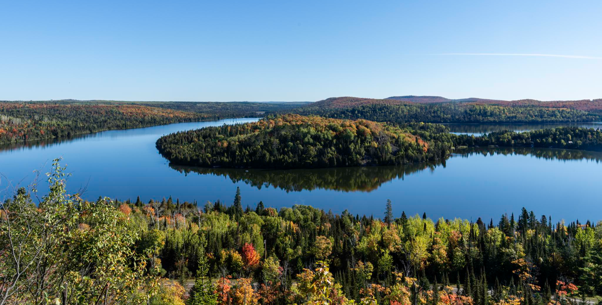
Superior Hiking Trail — Where the forest meets the lake
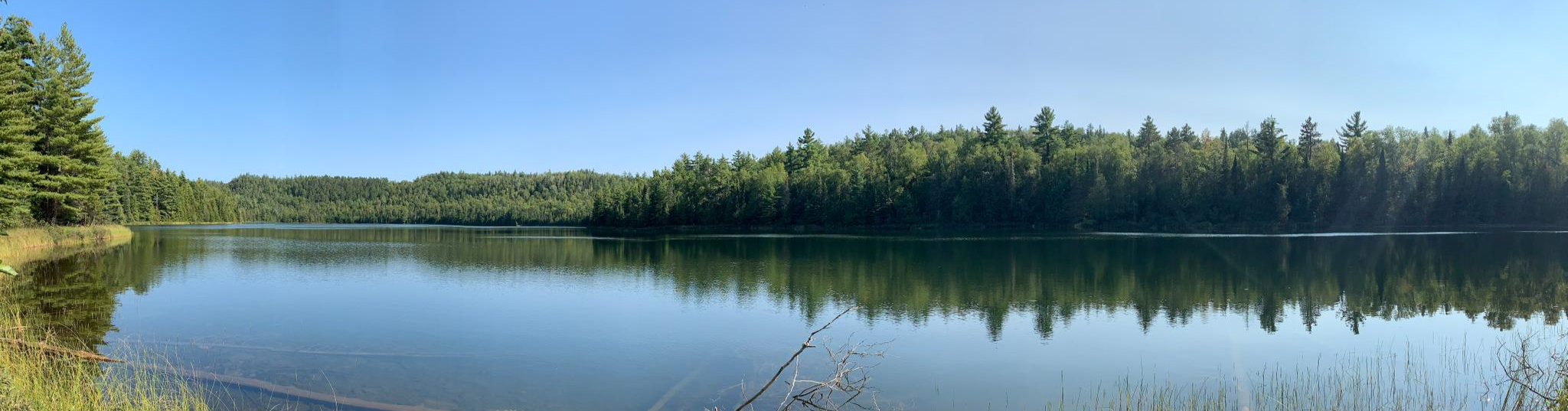
Border Route Trail — A remote Northwoods backpacking challenge
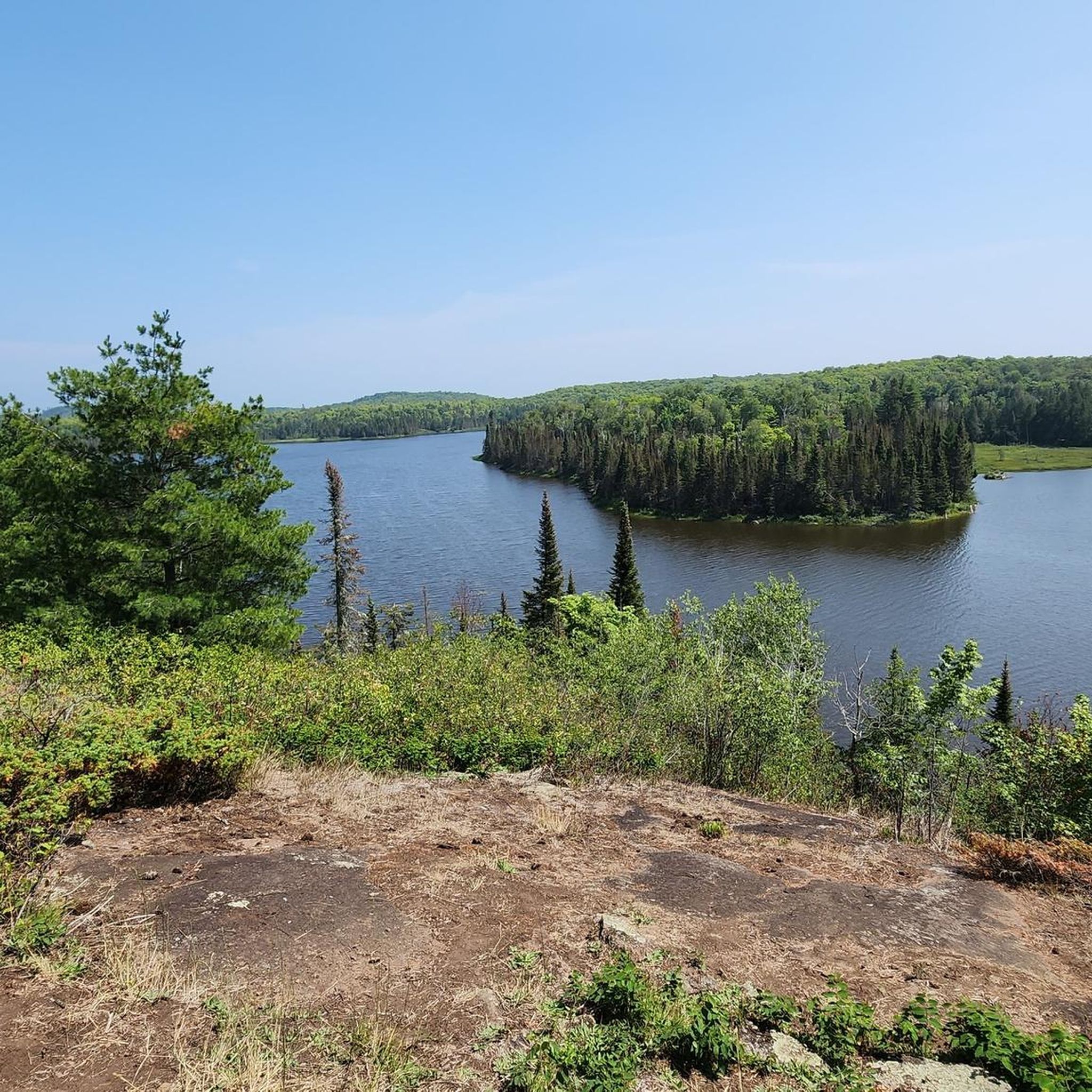
Running Trails in Superior National Forest
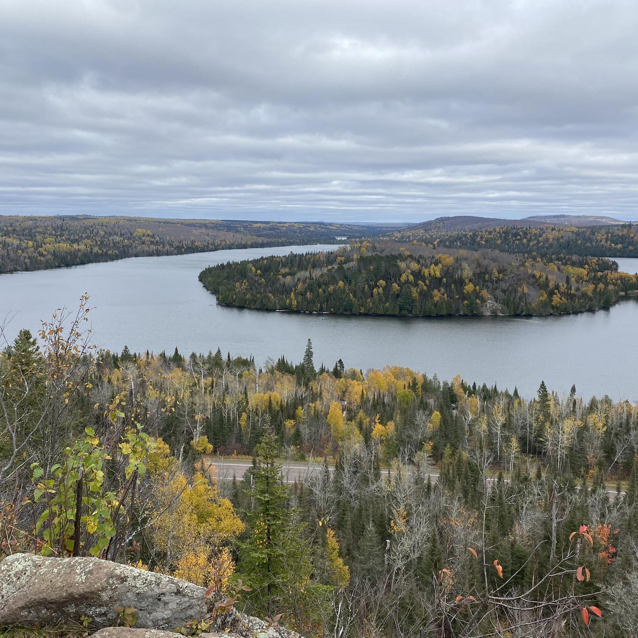
Road Cycling Routes in Superior National Forest
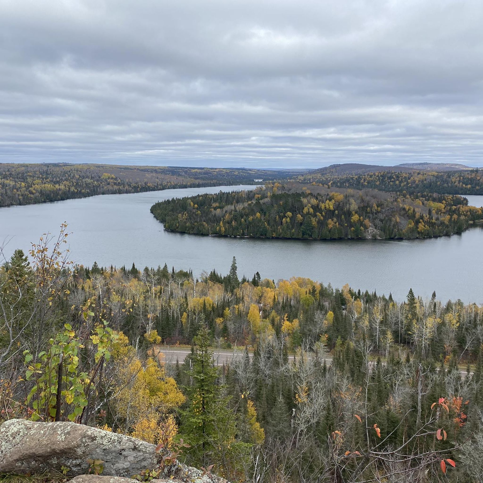
MTB Trails in Superior National Forest
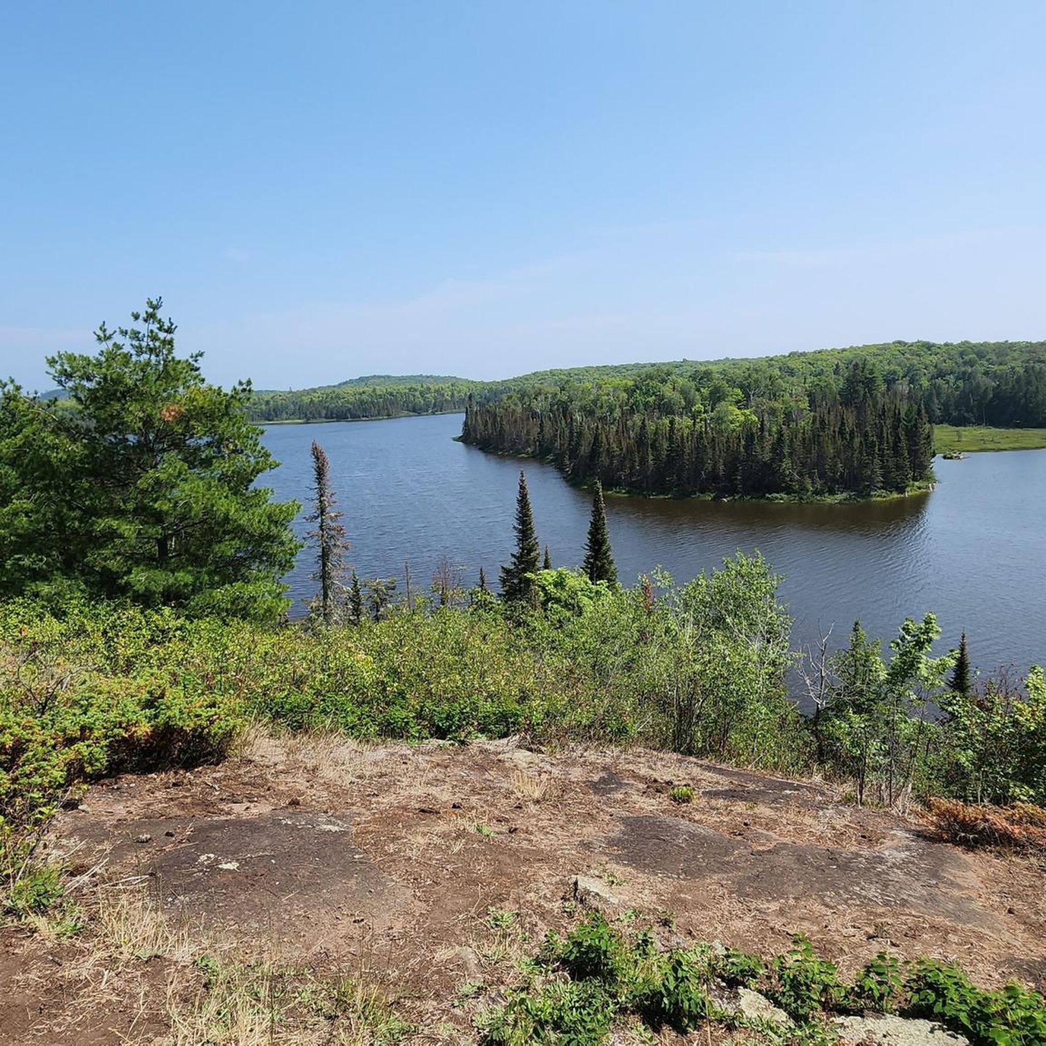
Cycling in Superior National Forest
Other adventures in Superior National Forest


Tips from the Community

Great single track leading up to excellent views of the North Shore!
1
0

From the summit of Pincushion Mountain, you can see great views of Lake Superior and nearby city Grand Marais.
0
0
LeVeaux Mountain stands at 1,562 feet (476m) and offers stunning views of Lake Superior.
0
0

The views from the cliff top are spectacular, but be careful! Visitors have been known to have fallen in and swept to a watery demise.
3
0
The Gitchi-Gami State Trail crosses the Temperance River affording excellent views of the gorge.
3
0
Frequently Asked Questions
When is the best time to hike in Superior National Forest?
Hiking is possible year-round, but the most popular seasons are summer and autumn. Summer offers long days and lush green forests. Autumn is particularly spectacular, as the hardwood trees create a brilliant display of fall colors, making it a prime time for photography and scenic hikes.
Are there any easy, family-friendly hikes in the forest?
Yes, there are many options suitable for families. A great choice is the Magnetic Rock Trail. It's a relatively flat 3-mile (4.8 km) out-and-back trail that leads to a large, magnetic rock formation, which is always a fun point of interest for kids and adults alike.
Can I bring my dog on the trails?
Yes, dogs are generally welcome on trails within the Superior National Forest, but they must be kept on a leash no longer than 6 feet at all times. Please be aware of wildlife and be prepared to clean up after your pet to keep the trails pristine for everyone.
What kind of wildlife might I see, and should I be concerned about bears?
The forest is home to a diverse range of wildlife, including moose, white-tailed deer, beavers, and a variety of birds. Black bears also inhabit the area. While encounters are not common on busy day-hike trails, it's wise to be bear-aware. Make noise while you hike, store food securely if camping, and never feed wildlife.
Are there any trails with waterfalls?
Absolutely. The region is known for its beautiful rivers and cascades. For a hike that features dramatic water features, consider the Temperance River Gorge and Carlton Peak trail. It follows the powerful Temperance River as it carves through a deep gorge, creating a series of rapids and waterfalls.
Do I need a permit for day hiking?
For most day hikes in the Superior National Forest, including on the Superior Hiking Trail, no permit is required. However, if your hike enters the Boundary Waters Canoe Area Wilderness (BWCAW), even for a day trip, you must have a permit. These are free and self-issued at the trailhead kiosks.
What about permits for overnight camping?
Permits are required for all overnight stays within the Boundary Waters Canoe Area Wilderness (BWCAW) and must be reserved in advance. For backcountry camping outside the BWCAW, regulations can vary. It's essential to check with the U.S. Forest Service for the most current rules on dispersed camping in the specific area you plan to visit.
What are the trail conditions like?
Trails in Superior National Forest are often rugged and natural. Expect paths with rocks, roots, and mud, especially after rain. The terrain can be hilly with some steep climbs and descents. Sturdy, waterproof hiking boots are highly recommended for support and comfort.
Are there any good circular or loop hikes?
Yes, there are several excellent loop trails. The Oberg Mountain Trail is a fantastic loop that offers multiple stunning viewpoints over Lake Superior and the surrounding landscape in a relatively short distance.
What do other hikers say about the trails in Superior National Forest?
The hiking routes in this area are highly regarded by the komoot community, earning an average rating of 4.9 out of 5 stars. Hikers frequently praise the breathtaking scenic vistas, the well-maintained trail sections, and the feeling of immersion in a vast, wild landscape.
How many hiking trails are available in the area?
There are over 50 hiking routes in Superior National Forest mapped on komoot, ranging from short, easy walks to challenging, full-day treks. This network covers a wide variety of terrain, ensuring there's a trail for every skill level and interest.
Are there any challenging hikes for experienced hikers?
For those seeking a challenge, the hike to Eagle Mountain is an excellent choice. This 6.6-mile (10.5 km) trail takes you to the highest natural point in Minnesota, involving a rugged path with significant elevation gain that rewards you with panoramic views.
Most popular routes in Superior National Forest
Most popular attractions in Superior National Forest

Get inspired with the komoot mobile app


Explore more
Browse the best Hikes in other regions.
