Coise-Saint-Jean-Pied-Gauthier
Coise-Saint-Jean-Pied-Gauthier
Top 11 Natural Monuments around Coise-Saint-Jean-Pied-Gauthier
Natural monuments around Coise-Saint-Jean-Pied-Gauthier offer diverse opportunities for outdoor exploration. The area is characterized by vine-covered hillsides, walnut fields, and extensive forests, which cover over 27% of its land. Proximity to the Isère River and local lakes provides additional natural scenery and pathways for discovery. These environments create an inviting setting for activities such as hiking and appreciating the local landscape.
Best natural monuments around Coise-Saint-Jean-Pied-Gauthier
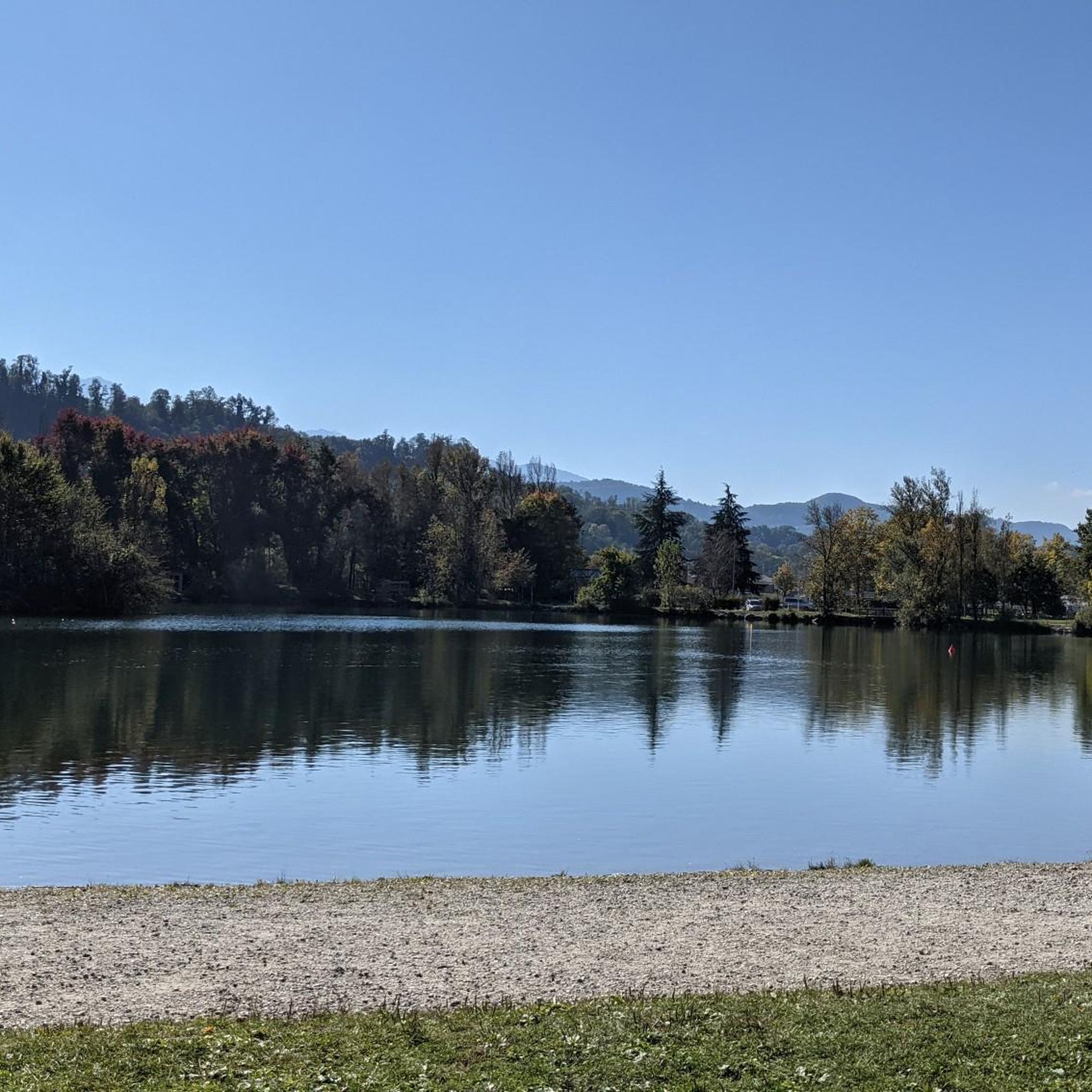
- The most popular natural monuments is Lake Saint-André, a lake nestled within vineyards.…
Last updated: July 2, 2026
Lake Saint-André
Highlight • Lake
In the leisure area, unsupervised, swimming is tolerated at the risk and peril of users. Prohibited in the rest of the lake.
Translated by Google •
Tip by

Col du Frêne (950 m)
Highlight • Mountain Pass
Translated by Google •
Tip by

Sign up now to discover places like this
Get recommendations on the best single tracks, peaks, & plenty of other exciting outdoor places.
Sign up for free
Aillon-le-Jeune
Highlight • Settlement
Translated by Google •
Tip by
Lac de Sainte Hélène
Highlight • Lake
Translated by Google •
Tip by

Watch Rock
Highlight • Viewpoint
Tip by

Sign up for free to discover even more natural monuments around Coise-Saint-Jean-Pied-Gauthier.
Sign up for free
Already have an account?
Start today with a free account
Your next adventure awaits.
Login or Signup
Popular around Coise-Saint-Jean-Pied-Gauthier
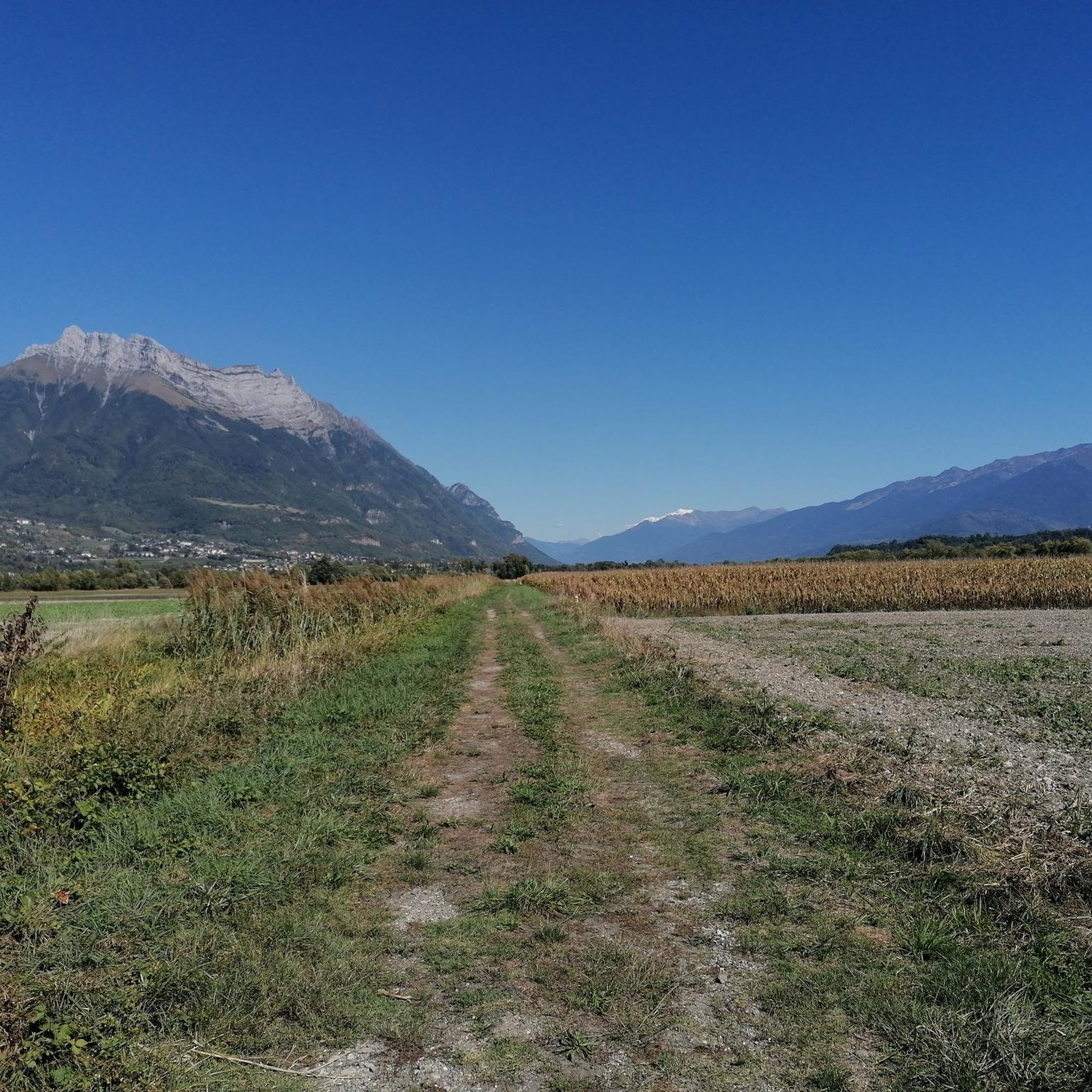
Road Cycling Routes around Coise-Saint-Jean-Pied-Gauthier
Cycling around Coise-Saint-Jean-Pied-Gauthier
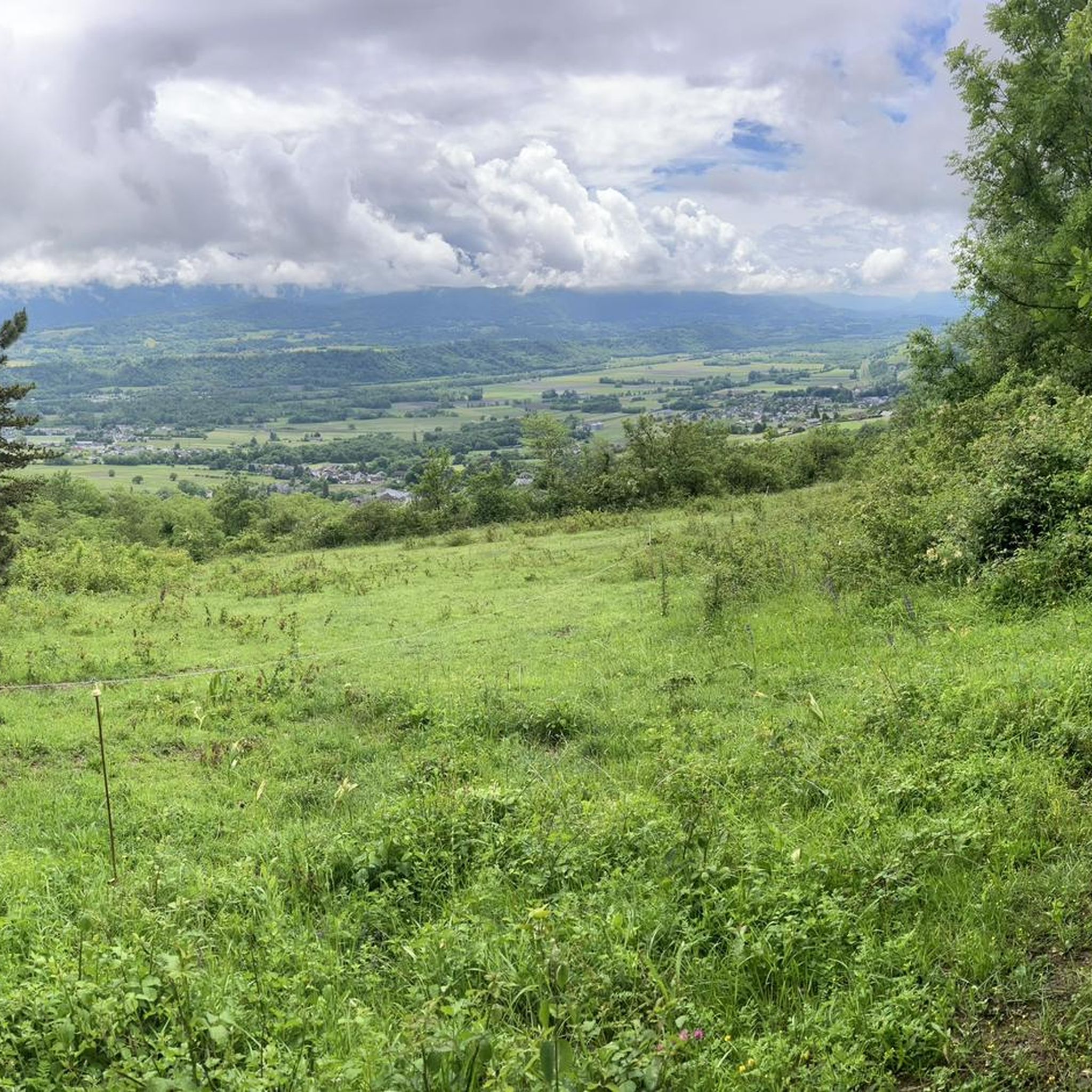
MTB Trails around Coise-Saint-Jean-Pied-Gauthier
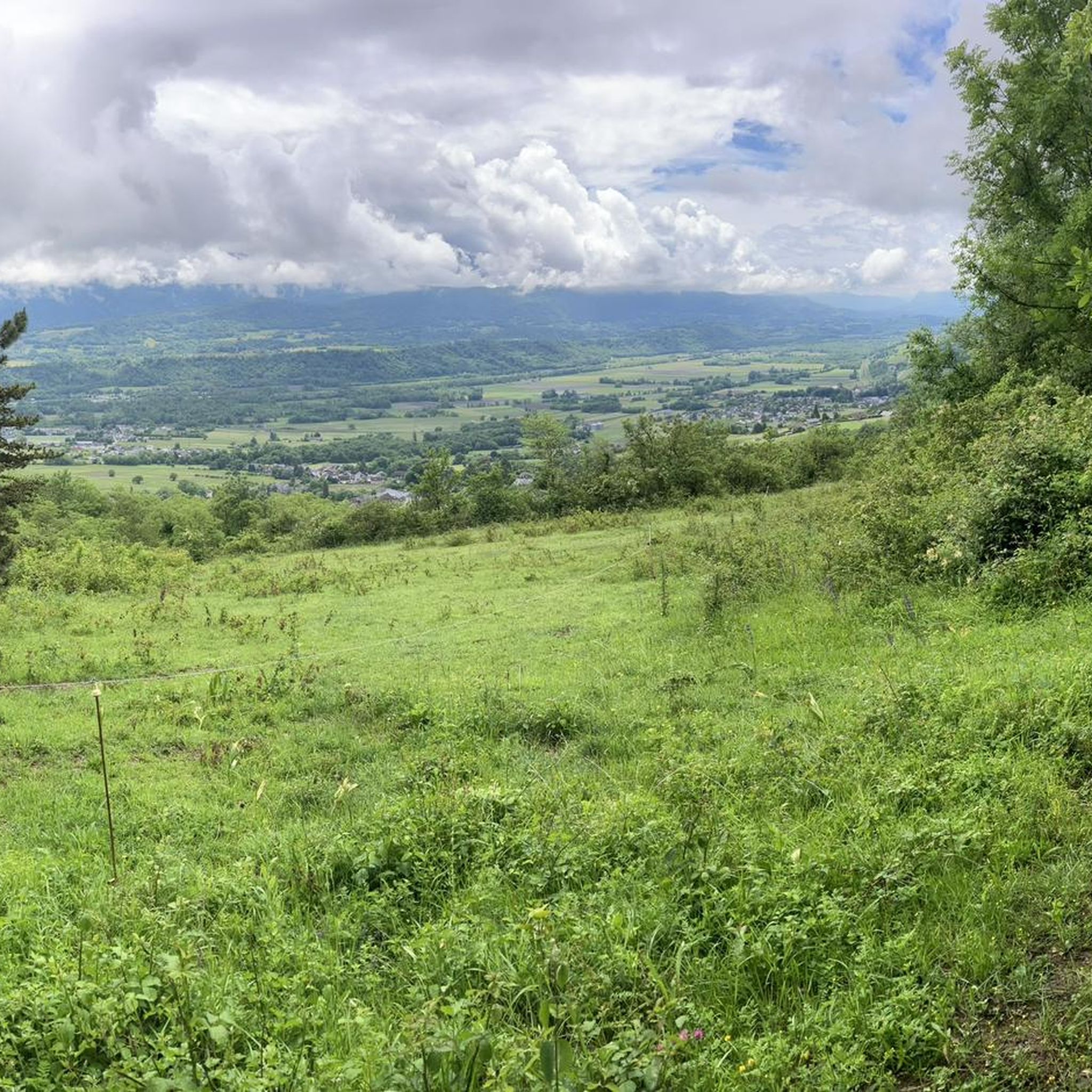
Hiking around Coise-Saint-Jean-Pied-Gauthier
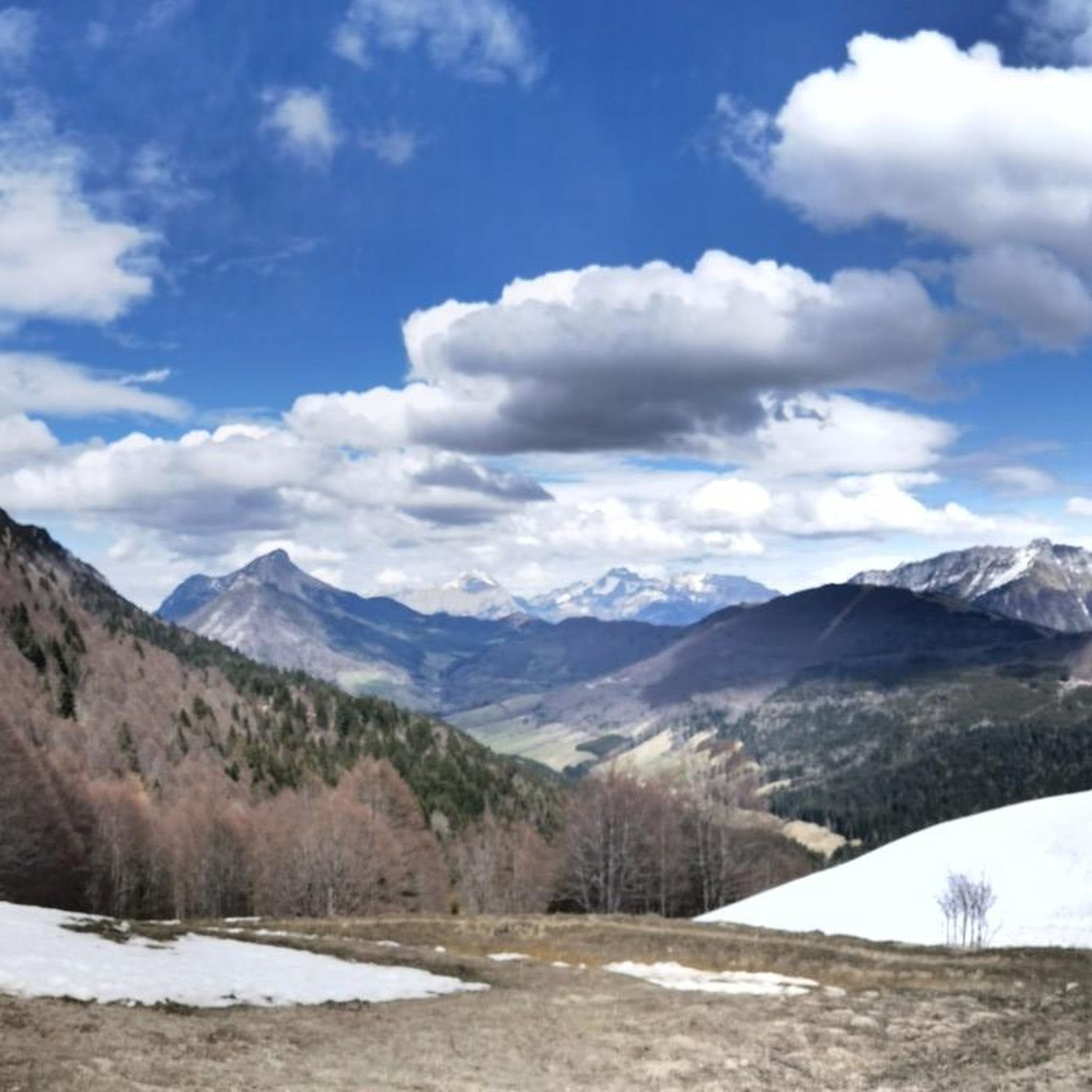
Running Trails around Coise-Saint-Jean-Pied-Gauthier

Gravel biking around Coise-Saint-Jean-Pied-Gauthier
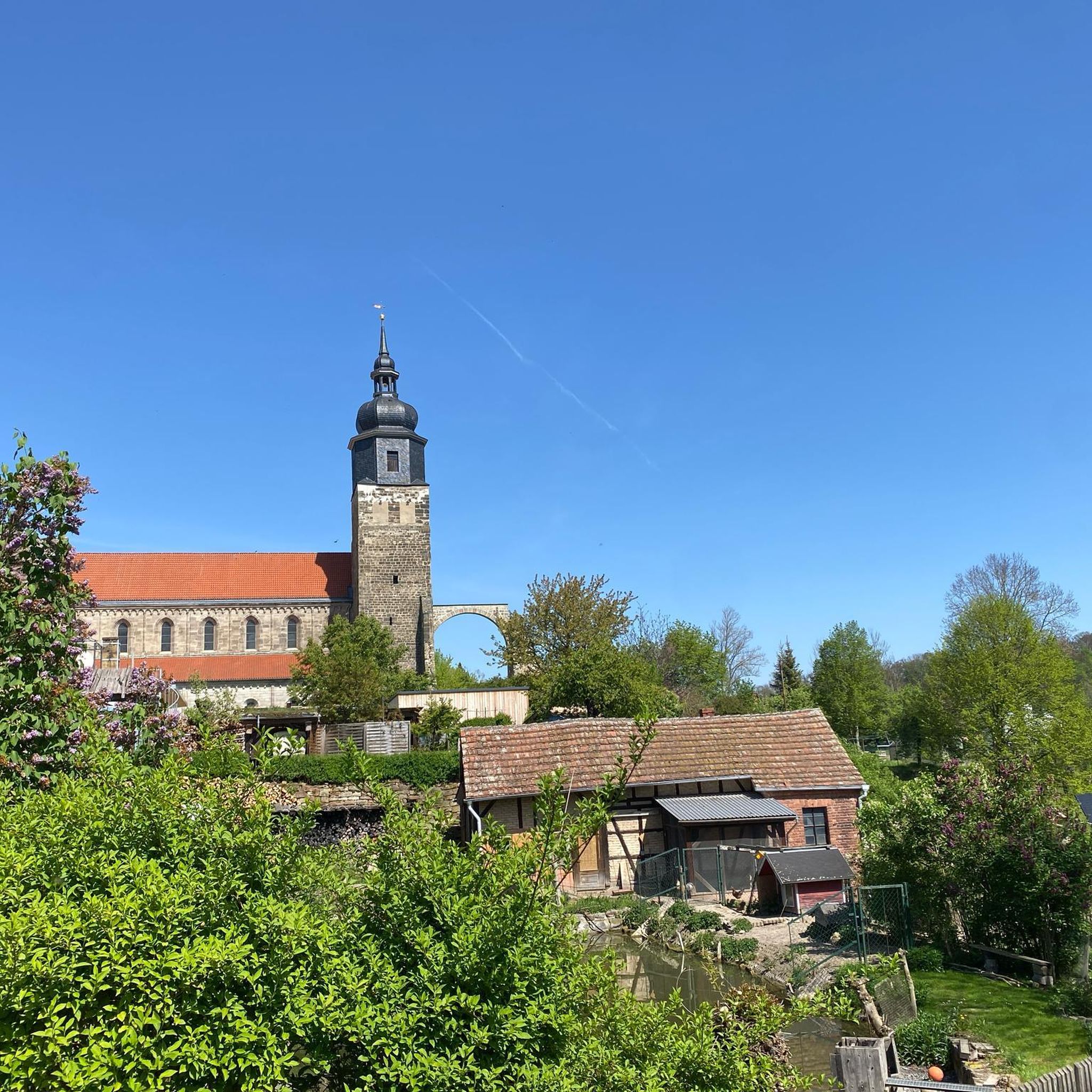
Mountain Hikes around Coise-Saint-Jean-Pied-Gauthier
Tips from the Community

Nice little place shortly before the last ascent to Col des Pres. Church, bar and fountain.
2
0

Quiet little road to begin the ascent of the Col du Frêne. Very beautiful view.
0
0

Beautiful pass. The climb is a bit gentler from the north. The descent to the south offers beautiful views of the Isère Valley.
0
0

small viewpoint on Lake St André
1
0

Col du Frêne from Saint Pierre d'Albigny is a climb in the Annecy region. It is 7.7 kilometres long and has a vertical ascent of 554 metres with an average gradient of 7.2%, implying a difficulty level of 483. The summit of the climb is located at 960 metres
0
0

The climb is very pretty and pleasant until the Col
1
0

The Col du Frêne culminates at an altitude of 950 meters. This mid-mountain pass allows you to enjoy views of both the Combe de Savoie and the impressive Dent d’Arclusaz.
1
0
The Col du Frêne from Saint Pierre d'Albigny is a climb located in the Annecy region. This climb has a length of 7.7 kilometers, with a gradient of 554 meters. The Col du Frêne in Saint Pierre d'Albigny has an average slope of 7.2%. With this gradient, the climb has 483 difficulty points. The highest point is 960 meters above sea level.
1
0
Frequently Asked Questions
What natural features define the landscape around Coise-Saint-Jean-Pied-Gauthier?
The area is characterized by its natural environment, featuring extensive vine-covered hillsides and walnut fields that create scenic routes. Over 27% of the commune's land is covered by forests and semi-natural areas. Additionally, the presence of the Isère River and a local lake provides varied natural scenery and pathways for exploration.
What are some of the most popular natural spots to visit near Coise-Saint-Jean-Pied-Gauthier?
Among the most popular natural spots are Lake Saint-André, known for its vineyards and picnic area, and La Galoppaz Peak, which offers extensive views of the Bauges and Northern Alps. Another favorite is Watch Rock, providing an amazing vista despite a challenging access path.
Are there family-friendly natural monuments around Coise-Saint-Jean-Pied-Gauthier?
Yes, Lake Saint-André is considered family-friendly, offering a picnic area and a discovery trail. Swimming is tolerated in designated areas. The landscaped path around Lac de Sainte Hélène is also suitable for families, with a flat, accessible route.
What kind of views can I expect from the viewpoints in the region?
From viewpoints like La Galoppaz Peak, you can expect a wonderful panorama of the Bauges, the Chambéry valley, and the Northern Alps. Watch Rock also provides an amazing vista, while Col du Frêne (950 m) offers views of both the Combe de Savoie and the impressive Dent d’Arclusaz.
What outdoor activities can I do near these natural monuments?
The area is excellent for various outdoor activities. You can find numerous options for gravel biking, mountain biking, and running. Many trails are accessible from the town center, around the local lake, or along the banks of the Isère river.
Are there hiking trails near these natural monuments?
Yes, there are many opportunities for hiking. For instance, Lac de Sainte Hélène serves as an ideal departure point for hikes. You can also find trails near Col du Frêne (950 m), which is a popular spot for hiking and jogging.
Is there a natural monument accessible for people with reduced mobility?
Yes, Lac de Sainte Hélène features a landscaped path that is accessible to people with reduced mobility, allowing them to go around the lake and enjoy the preserved natural area.
What is the best time to visit Coise-Saint-Jean-Pied-Gauthier for outdoor activities?
The region's natural beauty, including vine-covered hillsides and forests, can be appreciated throughout the warmer months. Spring and autumn offer pleasant temperatures for hiking and cycling, while summer is ideal for enjoying lakes like Lake Saint-André.
Can I bring my dog to the natural areas around Coise-Saint-Jean-Pied-Gauthier?
While specific regulations for dogs at each natural monument may vary, generally, dogs are welcome on trails and in natural areas, provided they are kept under control. It's always advisable to check local signage for any specific restrictions, especially around protected wildlife areas or designated swimming spots.
Where can I park when visiting these natural monuments?
Parking is available at several key locations. For example, you can park at Col du Frêne (950 m), which is a convenient starting point for hikes or jogs. Many trailheads and natural sites will have designated parking areas nearby.
What do visitors enjoy most about the natural monuments in this region?
Visitors frequently praise the stunning views, such as the panorama from La Galoppaz Peak and the amazing vista from Watch Rock. The peaceful setting of lakes like Lake Saint-André, nestled within vineyards, is also highly appreciated for its beauty and recreational opportunities.
Are there any natural monuments that involve a challenging ascent?
Yes, reaching La Galoppaz Peak involves a challenging final ascent, though the extraordinary view from the top is well worth the effort. Similarly, the access path to Watch Rock can be challenging, but it rewards visitors with a notable vista.
Most popular routes around Coise-Saint-Jean-Pied-Gauthier
Most popular attractions around Coise-Saint-Jean-Pied-Gauthier

Get inspired with the komoot mobile app


Explore more
Extend your search for the best caves by checking out these guides of the top ones around Coise-Saint-Jean-Pied-Gauthier:
