The best mountain hikes around Coise-Saint-Jean-Pied-Gauthier
3.8
(4)
38
hikers
5
hikes
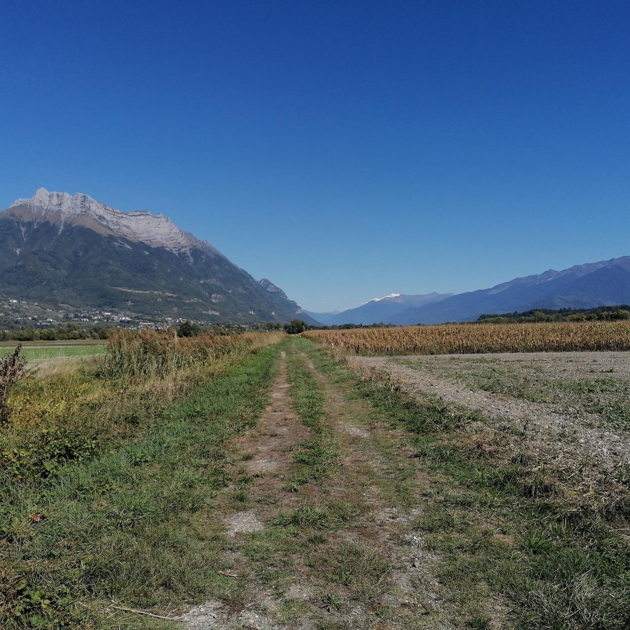
Mountaineering routes Coise-Saint-Jean-Pied-Gauthier are situated in the Savoie region of France, characterized by its mountainous terrain. The area features numerous mountain peaks and passes, offering varied landscapes for outdoor activities. This region, part of the French Alps, provides a diverse natural environment with a mix of agricultural territories and forests. Its proximity to major mountain ranges like the Vanoise Massif indicates opportunities for challenging ascents and explorations.
Best mountaineering routes around Coise-Saint-Jean-Pied-Gauthier
- The most popular mountaineering route is Grande Montagne…
Last updated: July 6, 2026
6
hikers
13.9km
05:36
990m
990m
Hard mountaineering route. Very good fitness required. Mostly accessible paths. Sure-footedness required.
3.0
(1)
6
hikers
12.0km
05:31
1,070m
1,070m
Hard mountaineering route. Very good fitness required. Mostly accessible paths. Sure-footedness required.

Sign up for free
6
hikers
10.3km
03:28
520m
520m
Moderate mountaineering route. Good fitness required. Easily-accessible paths. Suitable for all skill levels.
5
hikers
10.8km
04:29
790m
790m
Moderate mountaineering route. Good fitness required. Mostly accessible paths. Sure-footedness required.
5.0
(1)
4
hikers
8.27km
03:03
330m
330m
Hard mountaineering route. Good fitness required. Sure-footedness, sturdy shoes and alpine experience required.
Our route recommendations are based on thousands of hikes, rides, and runs completed by other people on komoot.
Start today with a free account
Your next adventure awaits.
Login or Signup
Popular around Coise-Saint-Jean-Pied-Gauthier

Tips from the Community

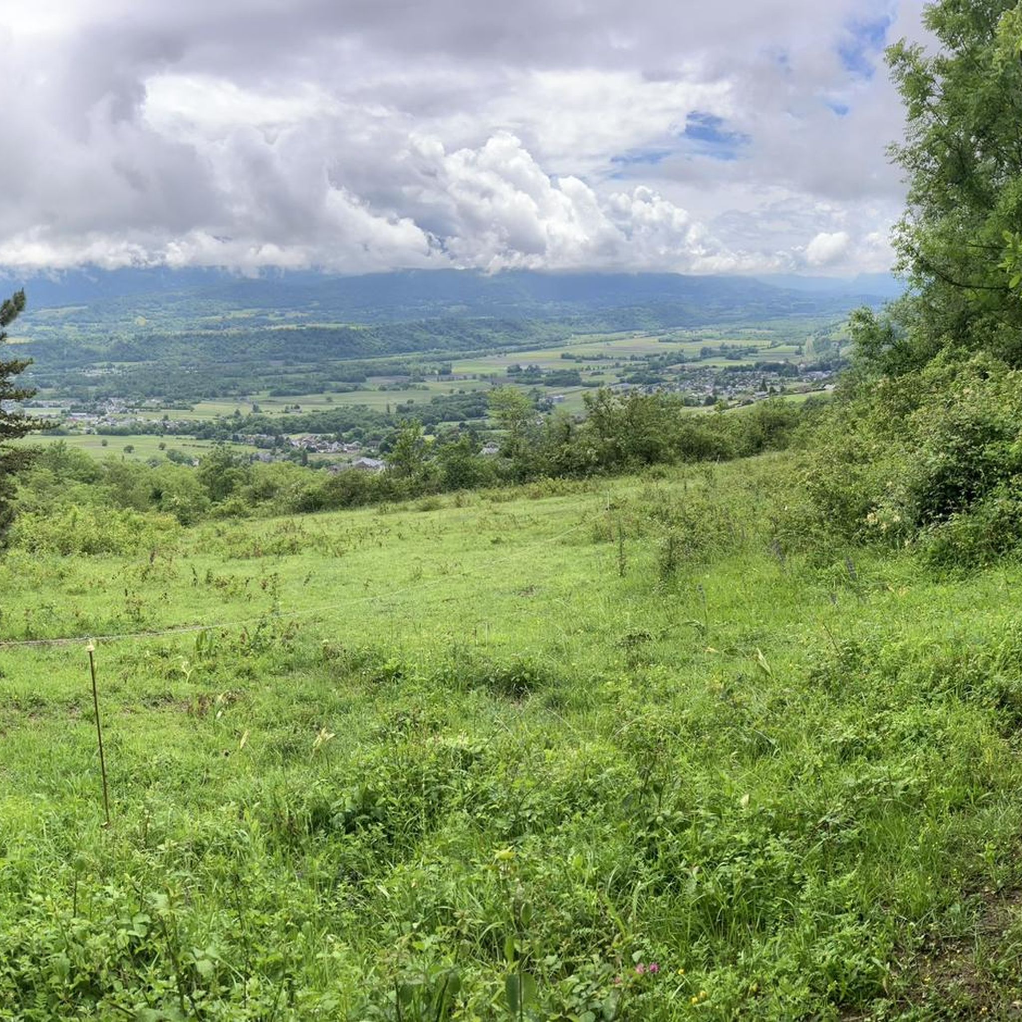
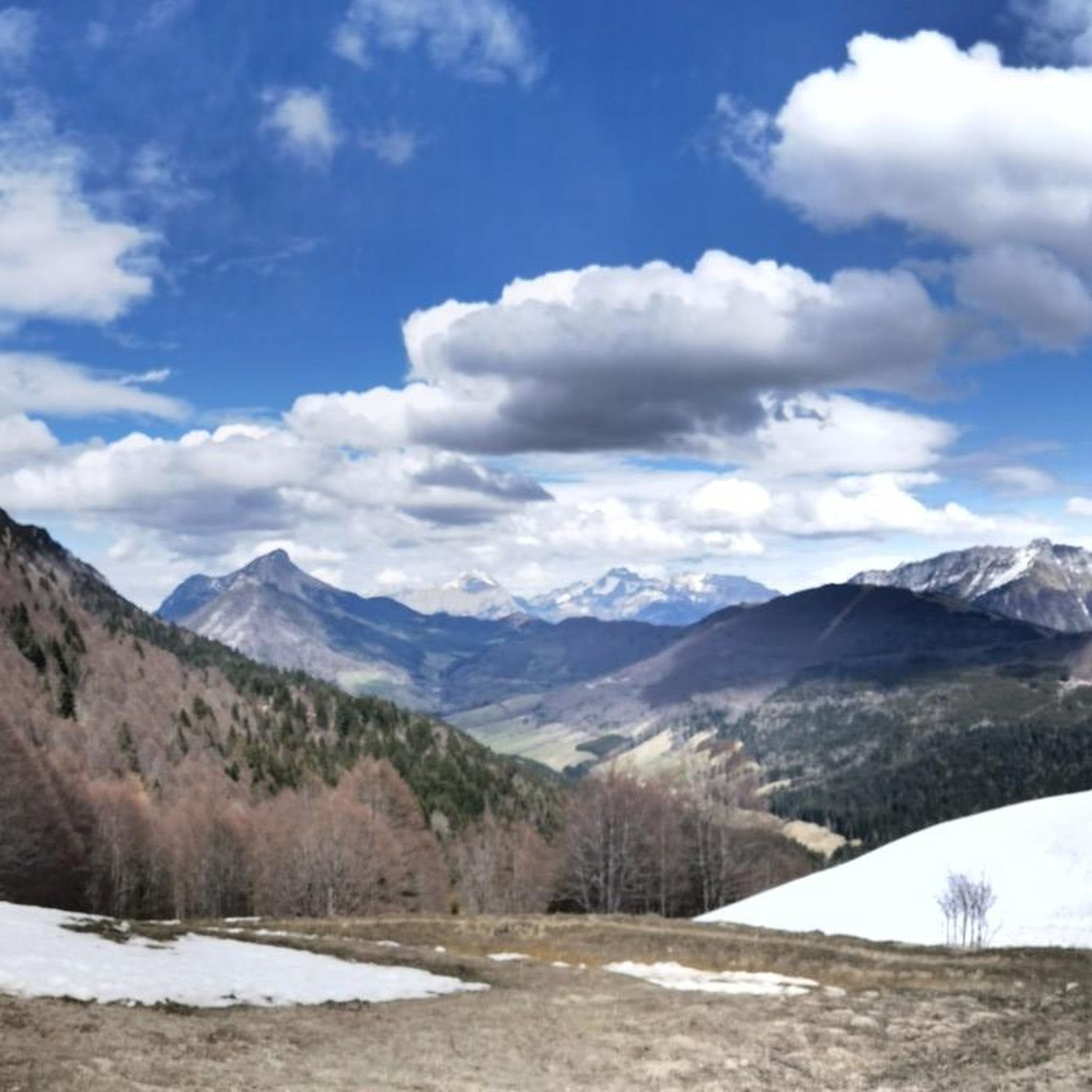
Wonderful panorama of the Bauges, the Chambéry valley and all the massifs of the Northern Alps.
0
0

Extraordinary view but deserved because the last meters are not easy
0
0

Point of view not easy to access for everyone but very nice!
1
0

The trip there is not always easy. We did it with 3 kids (age 3, 5 and 7). The view at the top is really amazing!
1
0

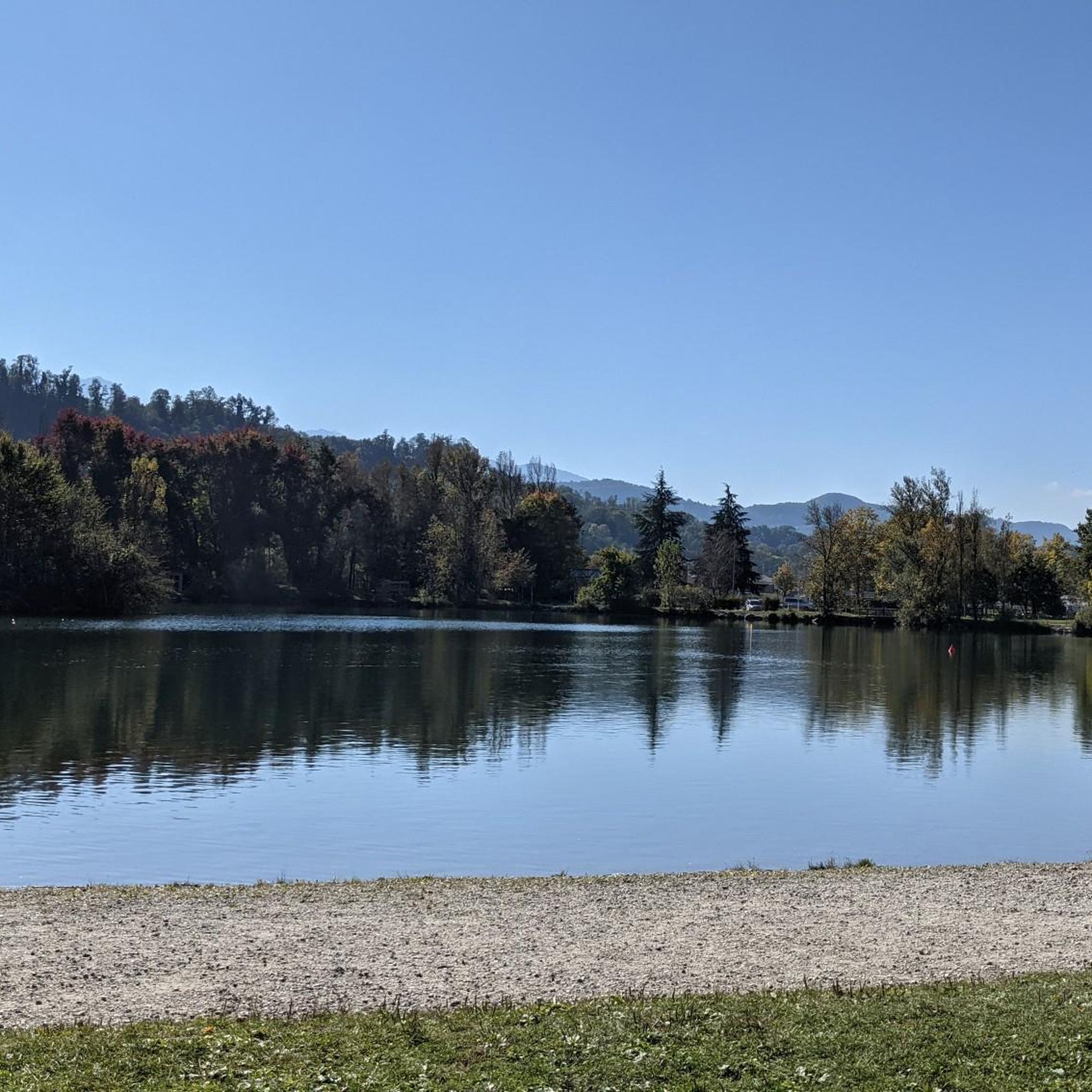
The only lake Bauges. A haven of peace (a little less during the summer season).
3
0
Frequently Asked Questions
How many mountaineering routes are available around Coise-Saint-Jean-Pied-Gauthier?
There are 6 mountaineering routes available for exploration around Coise-Saint-Jean-Pied-Gauthier. These routes offer a mix of moderate and difficult challenges, catering to various experience levels.
What is the general difficulty level of mountaineering routes in this area?
The mountaineering routes around Coise-Saint-Jean-Pied-Gauthier are generally categorized as moderate to difficult. There are 3 moderate routes and 3 difficult routes, providing options for experienced mountaineers seeking a challenge.
Are there any circular mountaineering routes available?
Yes, many of the routes are designed as loops. For example, the Grande Montagne d'Arvillard loop from Institut Karma Ling is a difficult 8.6-mile (13.9 km) route, and the Sciaz Pass loop from Chartreuse d'Aillon offers a moderate 6.4-mile (10.3 km) experience.
What kind of landscapes can I expect to see on these mountaineering routes?
The routes traverse varied mountain terrain characteristic of the Savoie region, including mountain peaks and passes. You'll encounter alpine landscapes, forests, and agricultural territories, offering diverse natural beauty. The area's proximity to major mountain ranges like the Vanoise Massif means you can expect rugged and scenic environments.
What are some notable landmarks or natural features to look out for?
While exploring the area, you might encounter several natural attractions. Highlights include Lake Saint-André, the Col du Frêne (950 m), and the La Galoppaz Peak. There's also a Watch Rock offering panoramic views.
What do other mountaineers enjoy most about the routes in Coise-Saint-Jean-Pied-Gauthier?
The routes in Coise-Saint-Jean-Pied-Gauthier are highly rated by the komoot community, with an average score of 3.8 stars from over 4 reviews. Mountaineers often praise the varied terrain, challenging ascents, and expansive views, particularly on routes like the Pointe de la Galoppaz – Col de la Buffaz loop from Puygros.
Are there any moderate mountaineering routes suitable for those looking for a less strenuous climb?
Yes, there are several moderate options. The Pointe de la Galoppaz loop from Puygros is a moderate 5.1-mile (8.3 km) route, and the Petite Pointe de la Galoppaz – Pointe de la Galoppaz loop from Le Fournet is another moderate choice, covering 6.7 miles (10.8 km).
What is the typical duration for these mountaineering routes?
The duration varies depending on the route and your pace. For instance, the difficult Grande Montagne d'Arvillard loop typically takes around 5 hours 36 minutes, while the moderate Sciaz Pass loop can be completed in about 3 hours 28 minutes.
Is Coise-Saint-Jean-Pied-Gauthier a good base for accessing more challenging mountaineering in the wider Savoie region?
Yes, its location in the heart of Savoie makes it an excellent starting point. The broader region, including areas like the Vanoise National Park, offers significant mountain areas with peaks over 3000 meters and routes for more technical mountaineering, including ice and snow faces.
What is the best time of year for mountaineering in this region?
The best time for mountaineering generally depends on the specific route and conditions. Summer months typically offer the most favorable weather for high-altitude routes, while spring and autumn can provide beautiful conditions at lower elevations, though you should always check local weather and trail conditions before heading out.
Are there any specific elevation gains to be aware of on these routes?
Yes, the routes feature significant elevation gains. For example, the Grande Montagne d'Arvillard loop involves an ascent of nearly 1000 meters, and the Pointe de la Galoppaz – Col de la Buffaz loop has an elevation gain of over 1070 meters.
Most popular routes around Coise-Saint-Jean-Pied-Gauthier
Most popular attractions around Coise-Saint-Jean-Pied-Gauthier

Get inspired with the komoot mobile app


Explore more
Browse the best Mountain Hikes & Routes in other regions.
