The best running trails around Coise-Saint-Jean-Pied-Gauthier
4.5
(71)
3,855
runners
13
runs
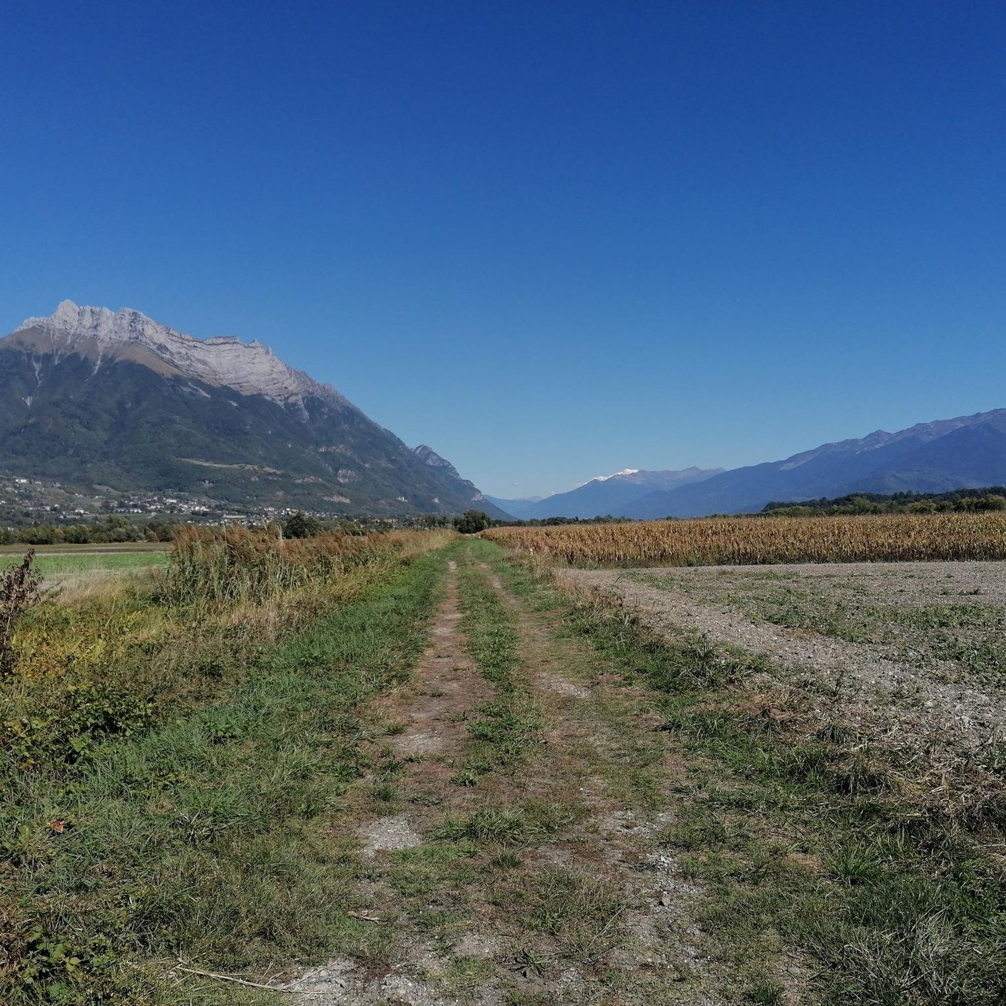
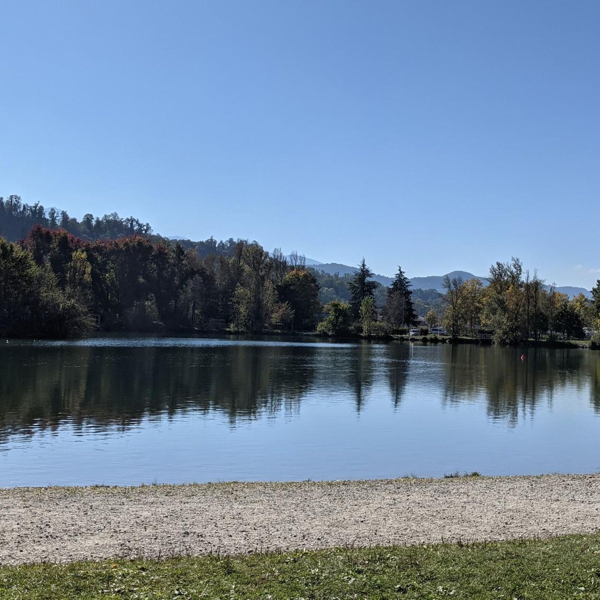
Jogging routes around Coise-Saint-Jean-Pied-Gauthier offer diverse landscapes in the Savoie department of France. The region features varied terrain, from serene lake circuits to routes with significant elevation gain. Runners can experience panoramic views of massifs such as Lauzière, Belledonne, Chartreuse, and Bauges, with the Dent d'Arclusaz providing a prominent backdrop. The area is characterized by picturesque vineyards, walnut fields, and natural features like Lac de la Thuile and Mont Rochefort.
Best jogging routes around Coise-Saint-Jean-Pied-Gauthier
- The most popular jogging route…
Last updated: July 1, 2026
5.0
(1)
26
runners
Hard run. Very good fitness required. Sure-footedness, sturdy shoes and alpine experience required.
21
runners
15.5km
01:36
30m
30m
Hard run. Very good fitness required. Mostly paved surfaces. Suitable for all skill levels.

Sign up for free
4
runners
10.7km
01:12
160m
160m
Moderate run. Good fitness required. Mostly paved surfaces. Suitable for all skill levels.
3
runners
8.61km
00:55
100m
100m
Moderate run. Good fitness required. Mostly paved surfaces. Suitable for all skill levels.
6
runners
10.6km
01:22
370m
370m
Hard run. Very good fitness required. Mostly paved surfaces. Suitable for all skill levels.
Get access to more routes and recommendations from other explorers.
Sign up for free
Already have an account?
Our route recommendations are based on thousands of hikes, rides, and runs completed by other people on komoot.
Start today with a free account
Your next adventure awaits.
Login or Signup
Popular around Coise-Saint-Jean-Pied-Gauthier

Tips from the Community

just magnificent, keep it secret or almost....
0
0


The Col de Cochette from La Trinité is 2.99 km long with a total drop of 237 m. The average gradient is 7.9% with maximum gradients of 10%. From Villard-d'Héry, it is 1.89 km with an average gradient of 7.8%. There is a total drop of 148m.
2
0
Frequently Asked Questions
How many running trails are available in Coise-Saint-Jean-Pied-Gauthier?
Coise-Saint-Jean-Pied-Gauthier offers a diverse network of 13 dedicated running routes. These include 9 moderate and 4 difficult options, catering to various fitness levels.
Are there easy running routes suitable for beginners or families?
While the guide primarily features moderate and difficult routes, the region offers accessible walks, such as easy circuits around the serene Lac de la Thuile. These flatter paths are ideal for beginners or family outings, allowing you to enjoy the picturesque scenery without significant elevation.
What kind of terrain can I expect on the running routes in this area?
The running routes around Coise-Saint-Jean-Pied-Gauthier feature varied terrain. You'll encounter paths through picturesque vineyards and fields of walnuts, alongside serene lake circuits, and trails with significant elevation gain offering panoramic mountain views. The landscape is characterized by its natural beauty and diverse surfaces.
Are there any scenic running routes with viewpoints?
Absolutely. Many routes offer stunning panoramic views of majestic massifs like Lauzière, Belledonne, Chartreuse, and Bauges, with the iconic Dent d'Arclusaz as a prominent backdrop. For example, the Col de Cochette (587 m) – Tours de Montmayeur loop provides excellent vistas as it climbs over 530 meters.
Can I bring my dog on the running trails?
While specific regulations for each trail vary, many natural areas in France are dog-friendly, especially if your dog is kept on a leash. It's always recommended to check local signage at trailheads for any specific restrictions or requirements regarding pets.
Are there circular running routes available?
Yes, many of the running paths in the region are circular, allowing you to start and finish at the same point. A popular option is the Lake Carouge loop from Coise-Saint-Jean-Pied-Gauthier, which offers a relatively flat profile around the lake, or the Cochette Pass – Col de Cochette (587 m) loop for a more challenging circular experience.
What natural features or landmarks can I see while jogging?
You can explore a variety of natural features and landmarks. Routes often pass by the serene Lake Saint-André, offer views of Mont Rochefort, and traverse picturesque vineyards. You might also encounter historical elements like old mills and charming hamlets, or even mountain passes such as Marocaz Pass or Col du Frêne (950 m).
Where can I find parking near the running trails?
Many trailheads in and around Coise-Saint-Jean-Pied-Gauthier, especially those starting from villages or popular natural sites like Lac de la Thuile, typically offer designated parking areas. It's advisable to check the specific route details on komoot for information on parking availability at the starting point of your chosen run.
Is public transport accessible to reach the trailheads?
While Coise-Saint-Jean-Pied-Gauthier is a rural area, some local bus services might connect to nearby towns. However, for direct access to many trailheads, especially those in more remote natural settings, personal transport is often the most convenient option. Always check local transport schedules in advance.
What do other runners say about the trails in Coise-Saint-Jean-Pied-Gauthier?
The running routes in Coise-Saint-Jean-Pied-Gauthier are highly regarded by the komoot community, boasting an average rating of 4.4 stars from over 60 reviews. Runners frequently praise the diverse landscapes, panoramic mountain views, and the well-maintained paths that cater to various skill levels.
Are there any longer, more challenging running routes for experienced runners?
Yes, experienced runners will find several challenging options. The region features 4 difficult running routes, including the Col de Cochette (587 m) – Tours de Montmayeur loop, which spans 9.7 miles (15.6 km) with over 530 meters of ascent. These routes offer significant elevation gain and longer distances.
What is the best season to go running in Coise-Saint-Jean-Pied-Gauthier?
The spring and autumn months generally offer the most pleasant conditions for running, with mild temperatures and vibrant natural scenery. Summer can be enjoyable, especially in the mornings or evenings, but be prepared for warmer weather. Winter running is possible, but some higher elevation trails may be affected by snow or ice.
Are there any specific events or races for runners in the area?
Yes, the region hosts events like the 'Nano Trail,' which features various trail running distances (11 km, 16 km, and 28 km) with considerable positive elevation. These events attract a community of runners and often traverse several villages, incorporating local heritage.
Most popular routes around Coise-Saint-Jean-Pied-Gauthier
Most popular attractions around Coise-Saint-Jean-Pied-Gauthier

Get inspired with the komoot mobile app


Explore more
Browse the best Running Trails & Routes in other regions.
