The best gravel rides around Montgellafrey
5.0
(1)
41
riders
5
rides
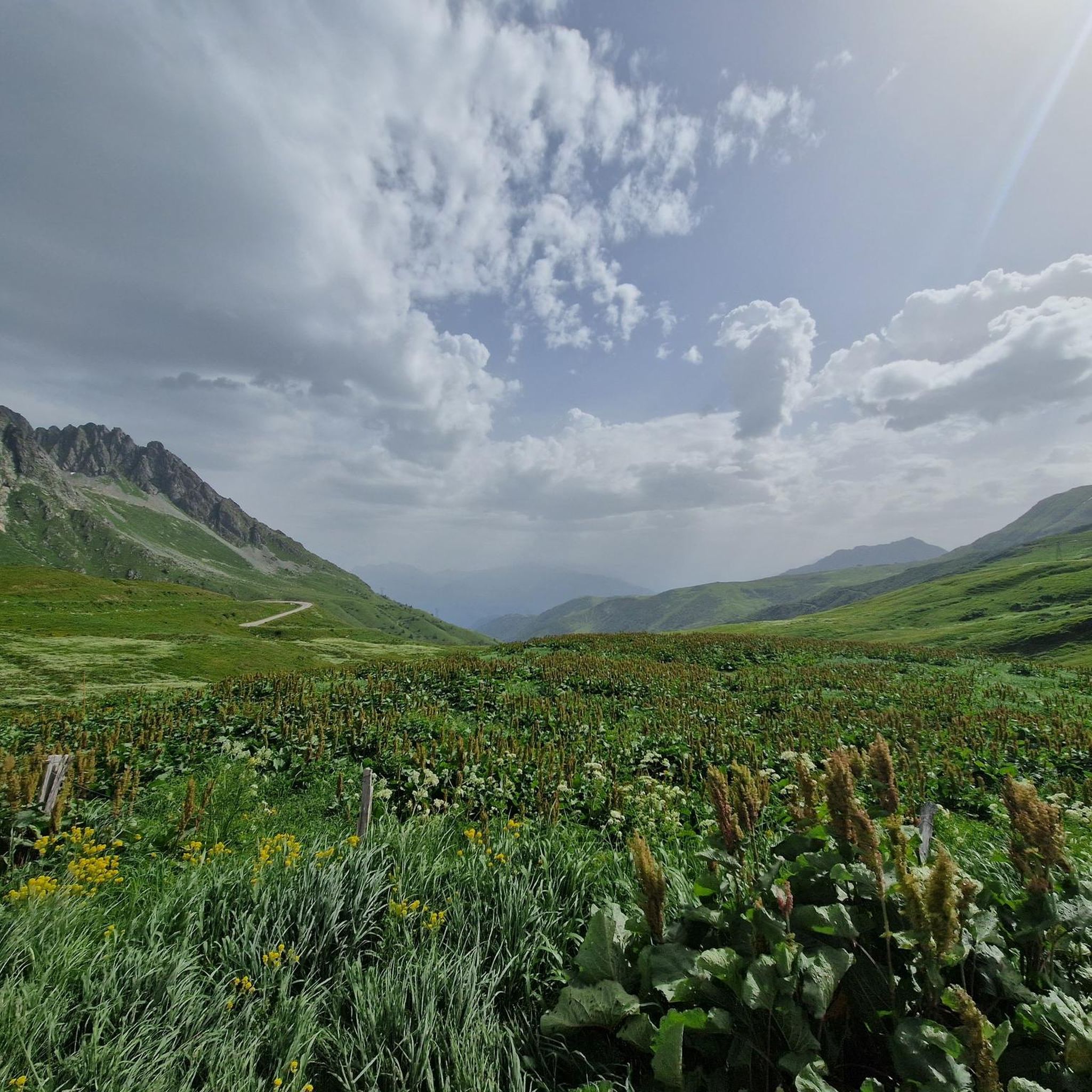
Gravel biking around Montgellafrey offers access to the diverse terrain of the Maurienne valley in the French Alps. The region is characterized by its mountainous setting, with altitudes ranging from approximately 3,445 feet (1,050 m) to 8,200 feet (2,500 m), providing a dynamic environment for exploration. Riders can expect a mix of forests, pastures, and challenging alpine passes, with many unpaved roads and old military tracks. These natural features offer varied surfaces, from forest tracks to rough gravel roads, making…
Last updated: July 5, 2026
5
riders
107km
08:27
2,410m
2,410m
Hard gravel ride. Very good fitness required. You may need to push your bike for some segments of this route.
18
riders
40.7km
03:36
1,620m
1,620m
Hard gravel ride. Very good fitness required. Mostly paved surfaces. Suitable for all skill levels.

Sign up for free
5
riders
33.5km
03:01
1,210m
1,210m
Hard gravel ride. Very good fitness required. Mostly paved surfaces. Suitable for all skill levels.
4
riders
113km
10:00
4,230m
4,230m
Hard gravel ride. Very good fitness required. Mostly paved surfaces. Suitable for all skill levels.
5
riders
28.7km
02:36
1,090m
1,100m
Hard gravel ride. Very good fitness required. Mostly paved surfaces. Suitable for all skill levels.
Our route recommendations are based on thousands of hikes, rides, and runs completed by other people on komoot.
Start today with a free account
Your next adventure awaits.
Login or Signup

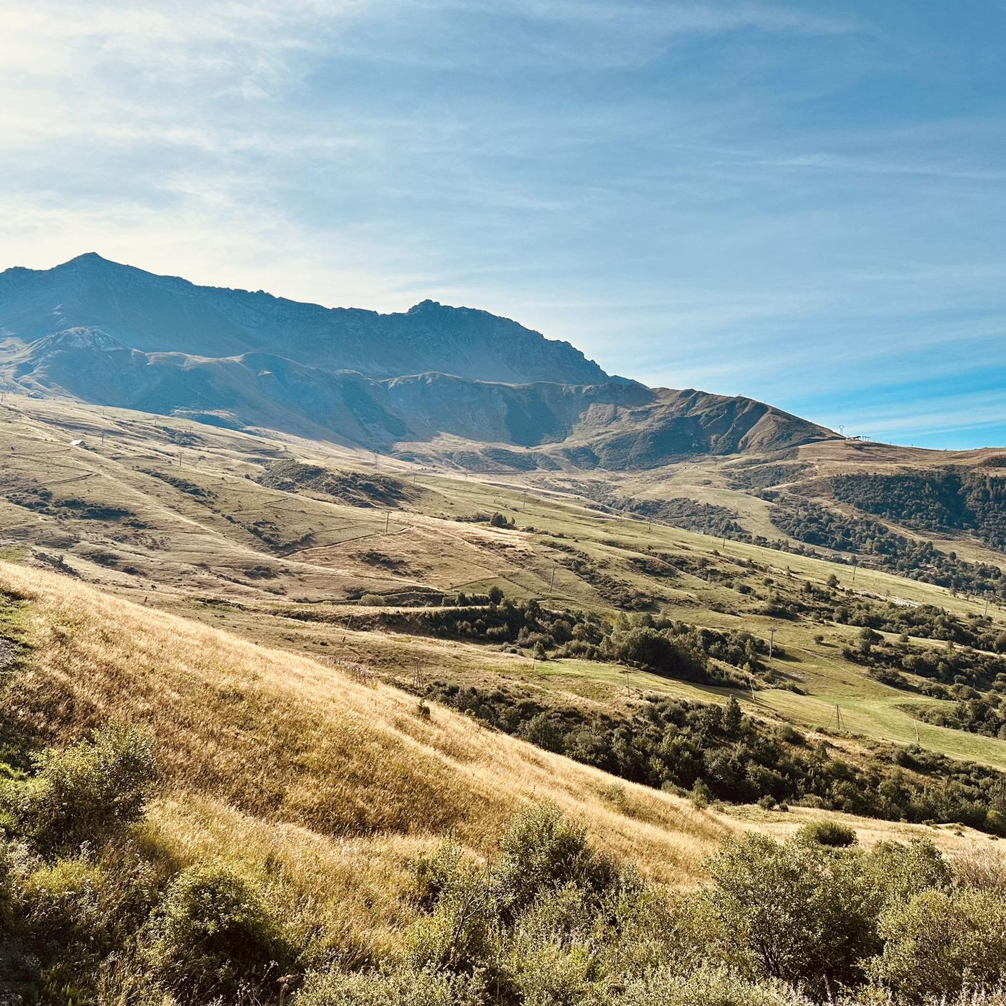
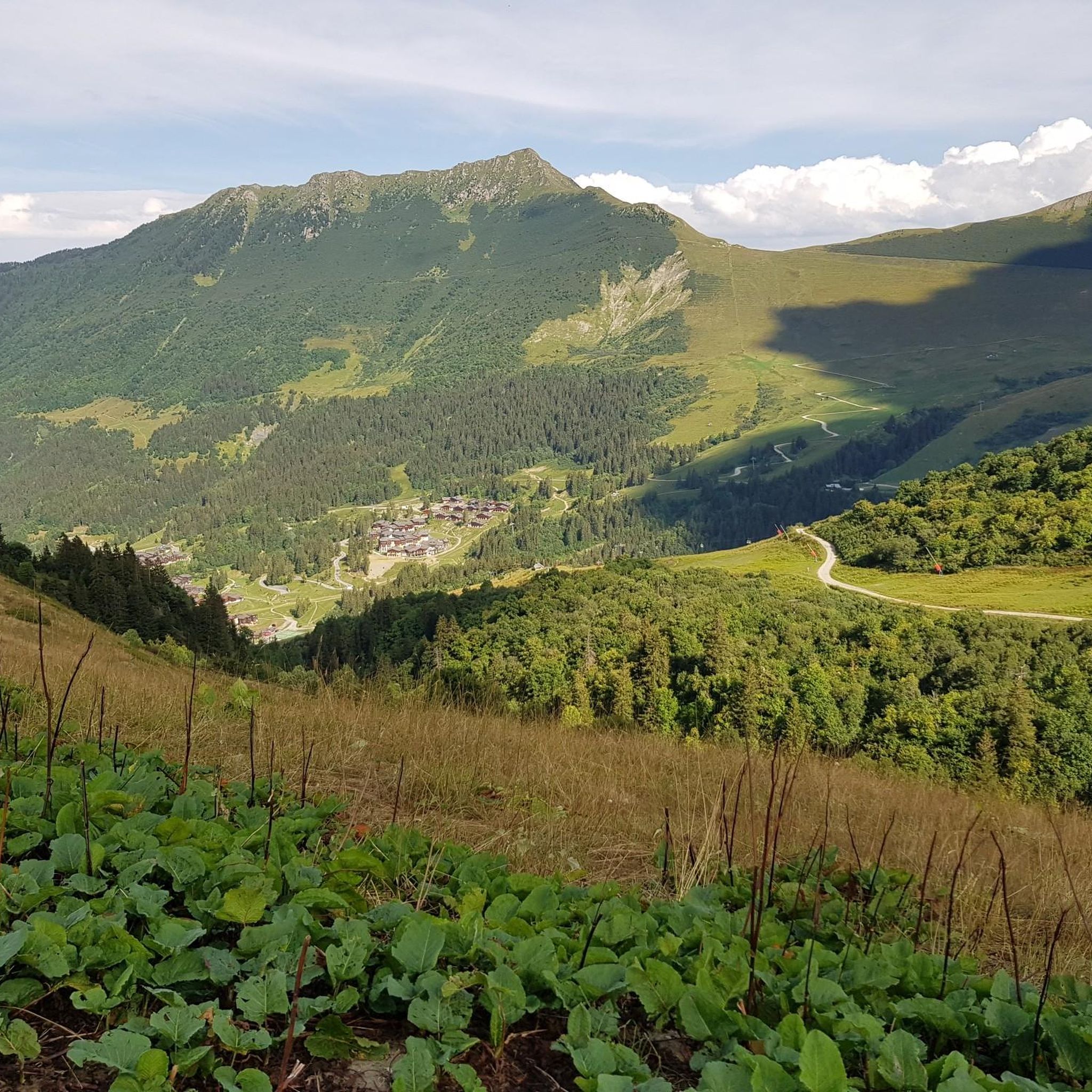
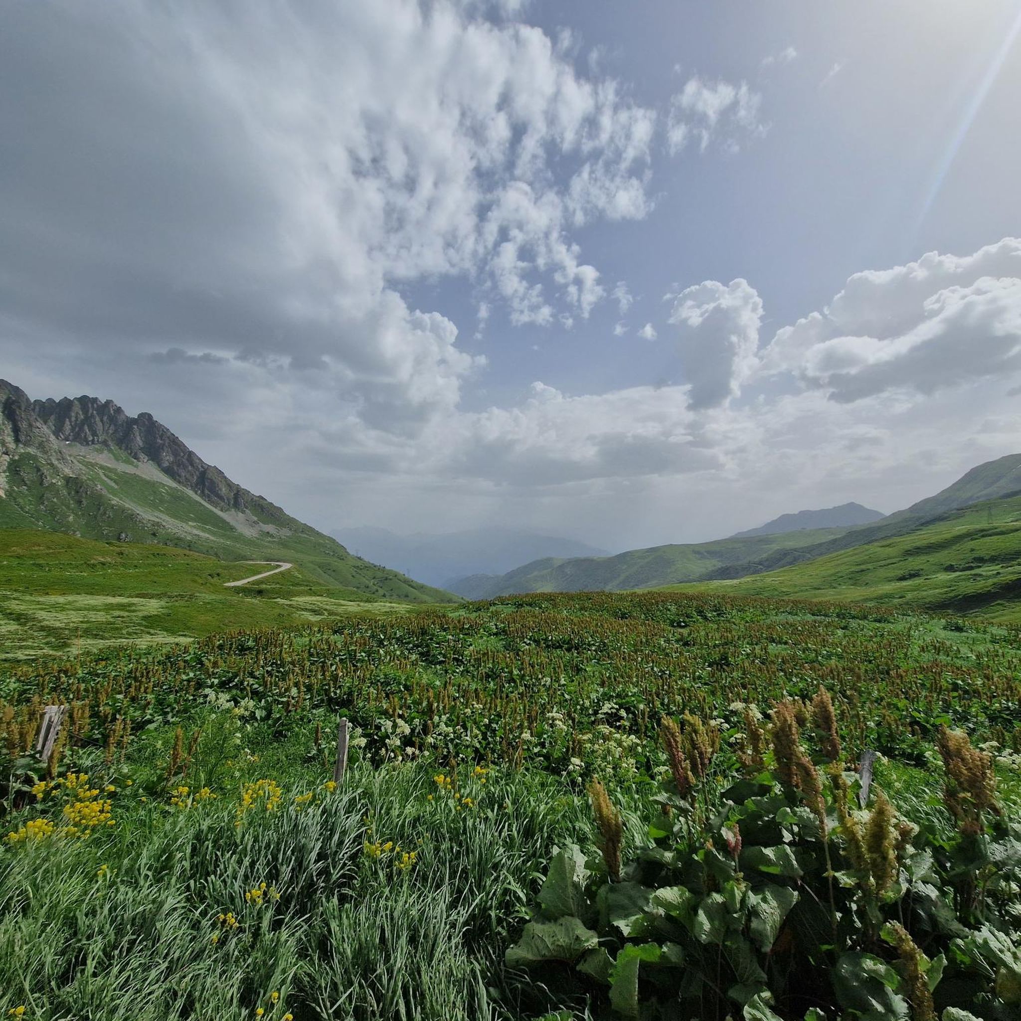
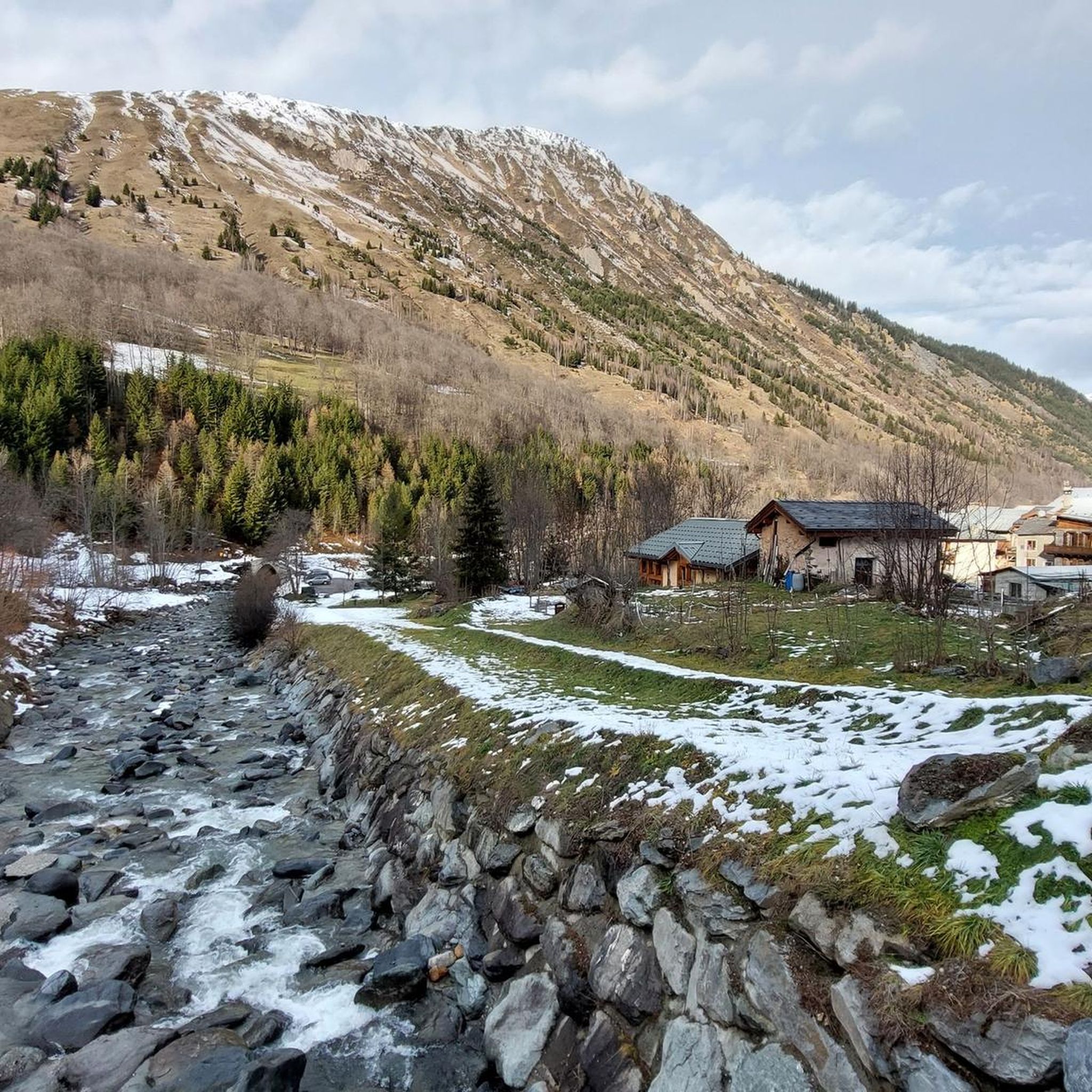
Other adventures around Montgellafrey

Tips from the Community

Beautiful church and small water spot.
2
0

One of the most mythical Tour de France climbs.
0
0
Beautiful view.
2
0
Narrow road, great views. Relatively little traffic.
2
0
Narrow road by the rock, great views.
2
0
Narrow road by the rock, great views.
2
0
Orderly ascent, nice pass with chapel and bar/restaurant. Some water points, but not many.
1
0
Great road and wonderful views.
2
0
Frequently Asked Questions
How many gravel bike trails are available around Montgellafrey?
Montgellafrey offers a selection of four challenging gravel bike trails, all designed for experienced riders seeking significant elevation gains and alpine terrain.
What is the typical difficulty level for gravel biking in Montgellafrey?
Gravel biking in Montgellafrey is characterized by challenging alpine terrain and high mountain passes. All available routes are rated as difficult, featuring substantial elevation gains, making them best suited for advanced riders.
Are there any family-friendly or easy gravel routes near Montgellafrey?
The gravel biking routes directly around Montgellafrey are primarily challenging, with all listed tours rated as difficult. The region's mountainous setting and significant elevation changes mean that easier, family-friendly options are not a prominent feature of the dedicated gravel trails here.
What kind of scenery can I expect on gravel bike trails in Montgellafrey?
Riders can expect diverse and breathtaking alpine scenery. Trails traverse picturesque villages, dense forests, and high mountain pastures, offering panoramic views of significant Alpine formations like the Aiguilles d'Arves, the l'Etendard glacier, and the Belledonne Mountain range. From certain vantage points, such as the Col de la Madeleine, you can even catch glimpses of Mont Blanc.
Are there any circular gravel bike routes available?
Yes, several routes are designed as loops. For instance, you can explore the challenging Madeleine Pass – Magnifique vue loop from Pontamafrey-Montpascal, the extensive Col du Grand Cucheron – Col du Grand Cucheron loop from Argentine, or the scenic Col du Chaussy – Col de Chaussy loop from Montvernier.
What are some notable landmarks or viewpoints along the gravel trails?
The trails often lead to iconic mountain passes and offer spectacular views. Key highlights include the legendary Col de la Madeleine, the challenging Col du Chaussy, and the famous Montvernier Hairpins. You'll also encounter the Col du Grand Cucheron, known for its extensive alpine challenges.
What is the best time of year for gravel biking in Montgellafrey?
The best time for gravel biking in Montgellafrey is typically during the warmer months, from late spring to early autumn. Given the high alpine passes and altitudes ranging up to 2500m, winter conditions will likely involve snow, making many routes inaccessible or extremely challenging. Summer offers the most reliable weather for exploring the region's diverse terrain.
How long do the gravel bike trails typically take to complete?
The duration varies significantly based on the route's length and elevation. For example, the Madeleine Pass – Magnifique vue loop from Pontamafrey-Montpascal, at 43 miles (69.2 km), typically takes around 6 hours and 9 minutes. Shorter routes like the Col du Chaussy – Col de Chaussy loop from Montvernier (20.8 miles / 33.5 km) can be completed in about 3 hours and 33 minutes, while longer ones like the Col du Grand Cucheron – Col du Grand Cucheron loop from Argentine (66.3 miles / 106.7 km) can take nearly 10 hours.
What do other gravel bikers enjoy most about Montgellafrey?
The area is highly rated by the komoot community, with an average score of 5.0 stars from numerous reviews. Riders often praise the challenging alpine terrain, the rewarding panoramic views from high mountain passes, and the sense of adventure found on the diverse network of paths and tracks.
Is there public transport available to Montgellafrey for cyclists?
While Montgellafrey is a small village, its location in the Maurienne valley means it's part of a region with some public transport options. However, direct public transport specifically catering to cyclists with bikes to Montgellafrey itself might be limited. It's advisable to check local bus schedules or regional train services to nearby larger towns in the Maurienne valley, such as Saint-Jean-de-Maurienne, and plan your onward journey from there.
Where can I find parking for gravel biking trailheads in Montgellafrey?
Specific dedicated parking for gravel biking trailheads in Montgellafrey is not explicitly detailed. However, as a small village, you can typically find parking in or near the village center. For routes starting from nearby towns like Pontamafrey-Montpascal or Montvernier, look for public parking areas in those locations, often near the start of popular cycling routes.
Are there any places to eat or drink near the gravel trails?
Montgellafrey is a small, picturesque village. While specific cafes or restaurants directly on the trails are unlikely, you can find options within the village itself or in nearby larger towns in the Maurienne valley. It's always a good idea to carry sufficient water and snacks, especially on longer, more remote rides.
Most popular attractions around Montgellafrey

Get inspired with the komoot mobile app


Explore more
Browse the best Gravel rides in other regions.
