The best running trails around Montgellafrey
4.5
(5)
1,157
runners
18
runs
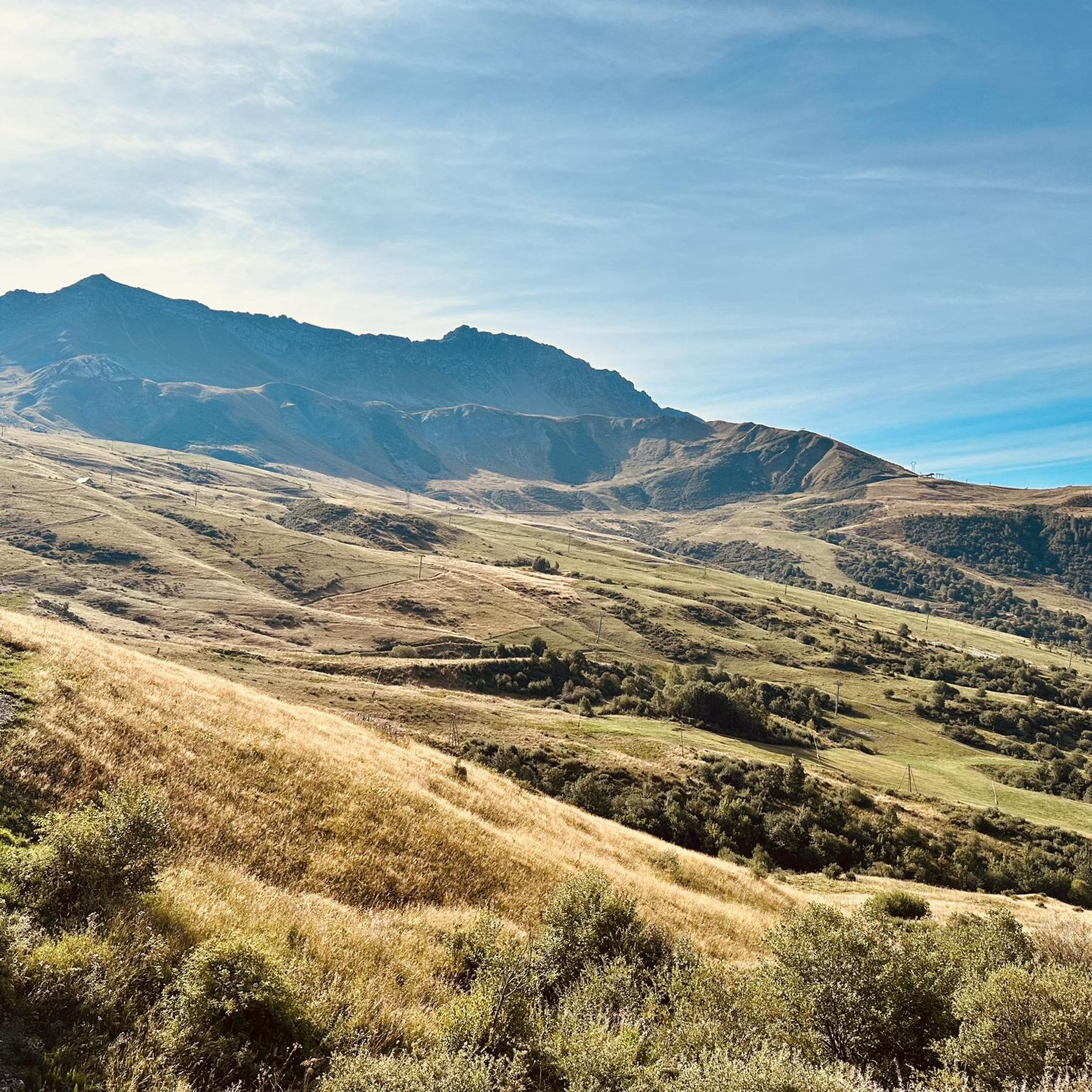
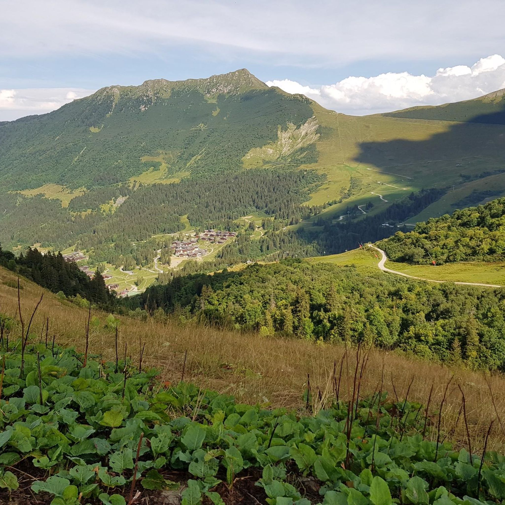
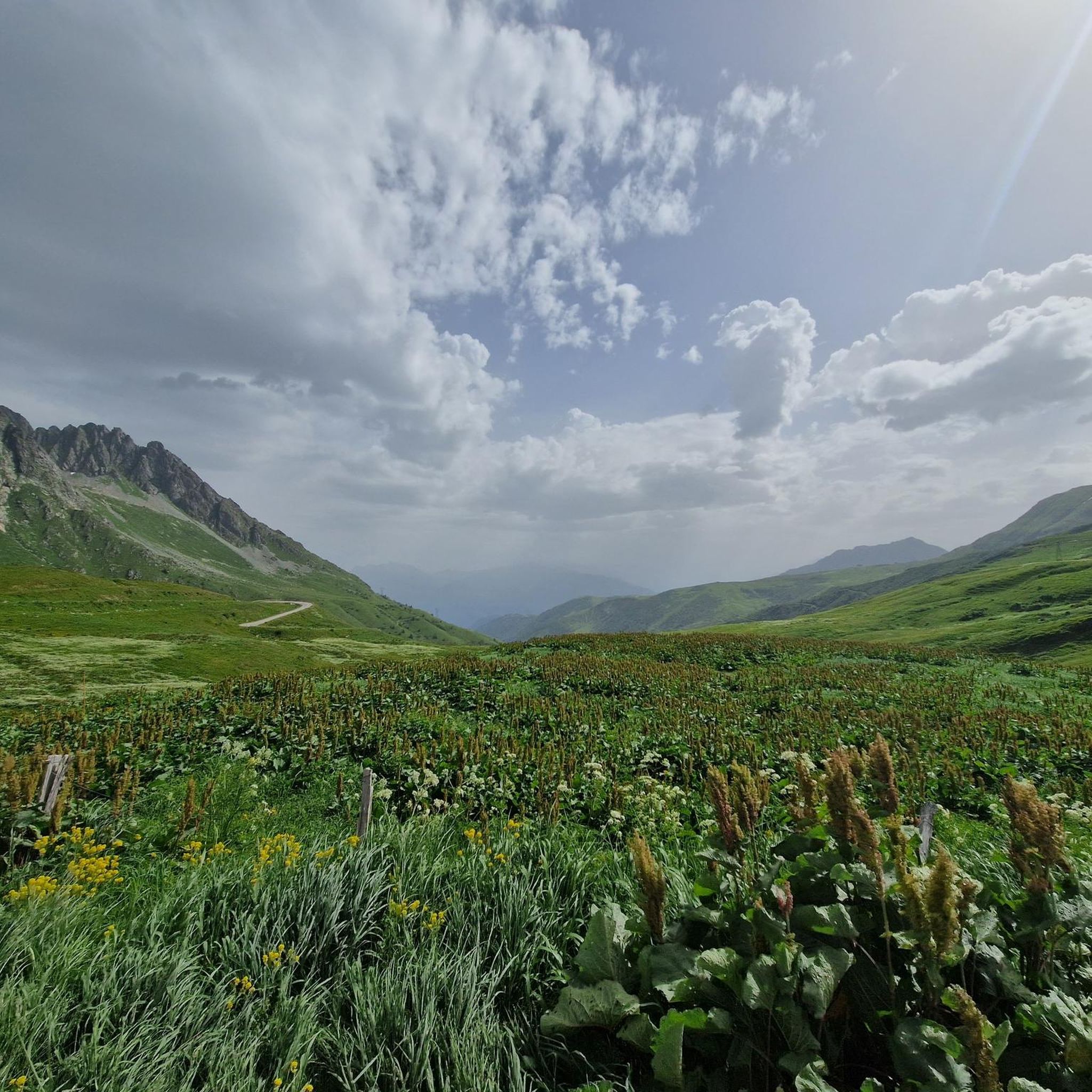
Jogging around Montgellafrey offers diverse landscapes for outdoor enthusiasts. The region is characterized by mountainous terrain, with altitudes ranging from 1050m to 2500m, providing varied inclines and views. Joggers can explore marked trails that wind through hamlets, forests, and pastures, leading to mountain passes and serene lakes. This environment provides a range of challenges and scenic rewards for runners.
Best jogging routes around Montgellafrey
- The most popular jogging route is Col de la Madeleine – Madeleine Pass loop from Saint-François-Longchamp…
Last updated: July 1, 2026
143
runners
10.1km
01:11
370m
370m
Hard run. Very good fitness required. Mostly paved surfaces. Suitable for all skill levels.
38
runners
8.13km
00:58
280m
280m
Moderate run. Good fitness required. Mostly paved surfaces. Suitable for all skill levels.

Sign up for free
29
runners
4.14km
00:32
140m
140m
Moderate run. Good fitness required. Mostly paved surfaces. Suitable for all skill levels.
40
runners
16.9km
02:17
780m
780m
Hard run. Very good fitness required. Mostly paved surfaces. Suitable for all skill levels.
24
runners
10.4km
02:01
800m
800m
Hard run. Very good fitness required. Sure-footedness, sturdy shoes and alpine experience required.
Get access to more routes and recommendations from other explorers.
Sign up for free
Already have an account?
Our route recommendations are based on thousands of hikes, rides, and runs completed by other people on komoot.
Start today with a free account
Your next adventure awaits.
Login or Signup


Other adventures around Montgellafrey

Tips from the Community


You can order something to eat/drink at the Refuge. Payment in cash only
0
0

A classic climb for the col baggers, but it's not just one for the roadies as it's accessible via off-road routes too. Although off-road access from the north is more mountain bike orientated. Don't miss a photo opportunity against the col monument!
2
1

The Col de la Madeleine connects the Tarantaise and Maurienne valleys. It is part of the family of exceptional passes with more than 1,500 meters of vertical drop on each of its sides.
1
0

The Col de la Madeleine from La Chambre is 19km long with a total drop of 1522m. The average gradient is 8% with maximum gradients of 13.5%. On the north side, the climb is even longer with 24.5 km in length, but it is slightly easier with an average gradient of 6.3%. It has featured several times in the Tour de France and is one of the toughest climbs in the French Alps.
6
0

Incredible views of the mountains and the lake from the ridge just below the top of the Cheval Noir.
0
0
At 2,832 meters, this summit, still little known, offers a 360° panorama at the top. Incredible views.
0
0

Bring walking sticks. Plenty of water. Good shoes.
0
0
Frequently Asked Questions
How many running routes are available around Montgellafrey?
Montgellafrey offers a wide selection of running routes, with over 15 trails available for you to explore. These routes vary in difficulty and length, ensuring options for different fitness levels and preferences.
Are there easy running routes suitable for beginners or families in Montgellafrey?
While Montgellafrey's terrain is predominantly mountainous, offering many challenging routes, there are options for those seeking a more relaxed experience. The region's marked trails through hamlets and pastures can provide less strenuous sections. For specific easy routes, it's best to check komoot's detailed tour descriptions, as many routes involve significant elevation.
What are some challenging running routes for experienced runners in Montgellafrey?
Experienced runners will find plenty of demanding trails. A notable challenging route is the Lac Blanc – Le Cheval Noir loop from Saint-François-Longchamp 1650, which covers 8.0 miles (12.8 km) with significant elevation gains. Another option is The Black Horse – The ridge loop from Col de la Madeleine, a 10.4 km route with nearly 800 meters of ascent.
Are there any circular running routes in the Montgellafrey area?
Yes, many of the running routes around Montgellafrey are designed as loops, allowing you to start and finish in the same location. Examples include the popular Col de la Madeleine – Madeleine Pass loop from Saint-François-Longchamp 1650 and the scenic Lac de la Grande Léchère loop from Saint-François-Longchamp 1650.
What kind of landscapes can I expect to see while running in Montgellafrey?
Running in Montgellafrey offers diverse and captivating landscapes. You'll traverse mountainous terrain, dense forests, and open pastures. Routes often lead to high mountain passes like the Col de la Madeleine, offering panoramic views, and serene lakes such as Lac de la Grande Léchère. The altitude ranges from 1050m to 2500m, providing varied inclines and breathtaking vistas of the Maurienne valley and the Belledonne mountain range.
Are there any notable landmarks or attractions along the running trails?
Absolutely. The region is rich in natural landmarks. You can run towards the iconic Col de la Madeleine, from where you can enjoy views of Mont Blanc. The Col du Chaussy and Col du Grand Cucheron are other significant mountain passes. Additionally, the Montvernier Hairpins offer a unique visual experience, and the Spectacular Cliffside Road Above Montvernier provides dramatic scenery.
Is Montgellafrey suitable for dog-friendly running?
Many outdoor areas in Montgellafrey are welcoming to dogs, especially on the extensive network of marked trails. However, it's always recommended to keep your dog on a leash, especially in pastures where livestock may be present, and to check for any specific local regulations or protected areas before heading out. Always carry water for your dog, especially on longer, more exposed routes.
What is the best time of year to go running in Montgellafrey?
The best time for running in Montgellafrey is generally from late spring through early autumn (May to October). During these months, the weather is milder, and the trails are typically clear of snow, making the mountainous terrain more accessible and enjoyable. Summer offers lush landscapes, while autumn brings vibrant colors. Winter running is possible but requires appropriate gear and caution due to snow and ice, especially at higher altitudes.
Are there options for parking near the trailheads in Montgellafrey?
Yes, Montgellafrey and the surrounding areas, particularly near Saint-François-Longchamp 1650, offer various parking options. Many trailheads are accessible by car, and you can often find designated parking areas in the villages or at the start of popular routes. It's advisable to check specific route details on komoot for information on parking availability at your chosen starting point.
Can I reach the running trails in Montgellafrey using public transport?
While Montgellafrey is a mountain village, its connection to the larger Saint-François-Longchamp area suggests some level of accessibility. Public transport options might be limited directly to all trailheads, but local bus or shuttle services could connect you from larger towns in the Maurienne valley to Montgellafrey or Saint-François-Longchamp, from where many trails begin. Checking local transport schedules in advance is recommended.
What do other runners enjoy the most about running in Montgellafrey?
The running routes in Montgellafrey are highly rated by the komoot community, with an average score of 4.3 stars from over 4 reviews. Runners often praise the stunning mountain panoramas, the variety of terrain from forests to high passes, and the rewarding challenge of the trails. The opportunity to explore serene lakes and iconic passes like Col de la Madeleine is frequently highlighted as a major draw.
Are there any amenities like cafes or restaurants near the running routes?
Montgellafrey is a small village, but its proximity to the Saint-François-Longchamp ski resort means there are amenities available in the wider area. You can find cafes and restaurants in Saint-François-Longchamp 1650, which serves as a common starting point for many routes. It's a good idea to plan your run to pass through or end near these villages if you wish to refuel or relax after your activity.
Most popular attractions around Montgellafrey

Get inspired with the komoot mobile app


Explore more
Browse the best Running Trails & Routes in other regions.
