The best walks and hikes around Montgellafrey
4.6
(211)
2,028
hikers
39
hikes
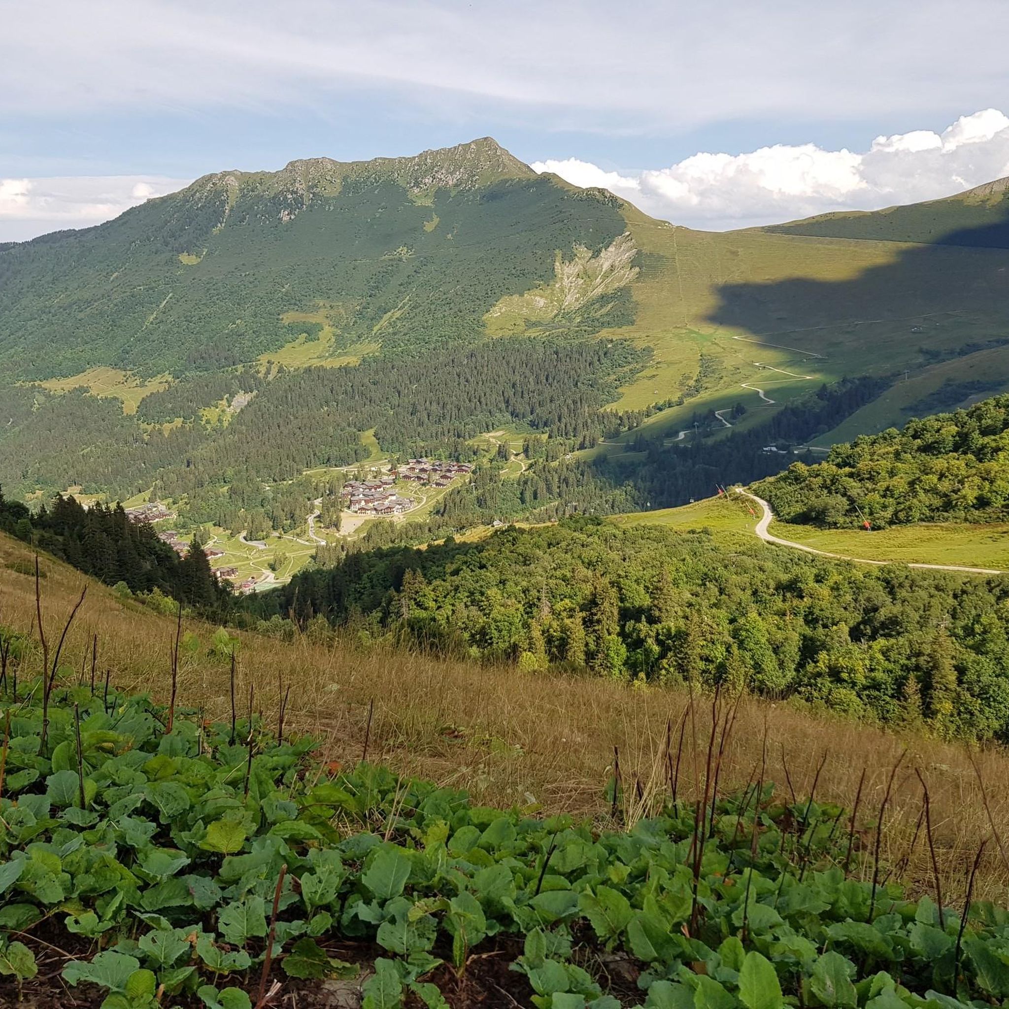
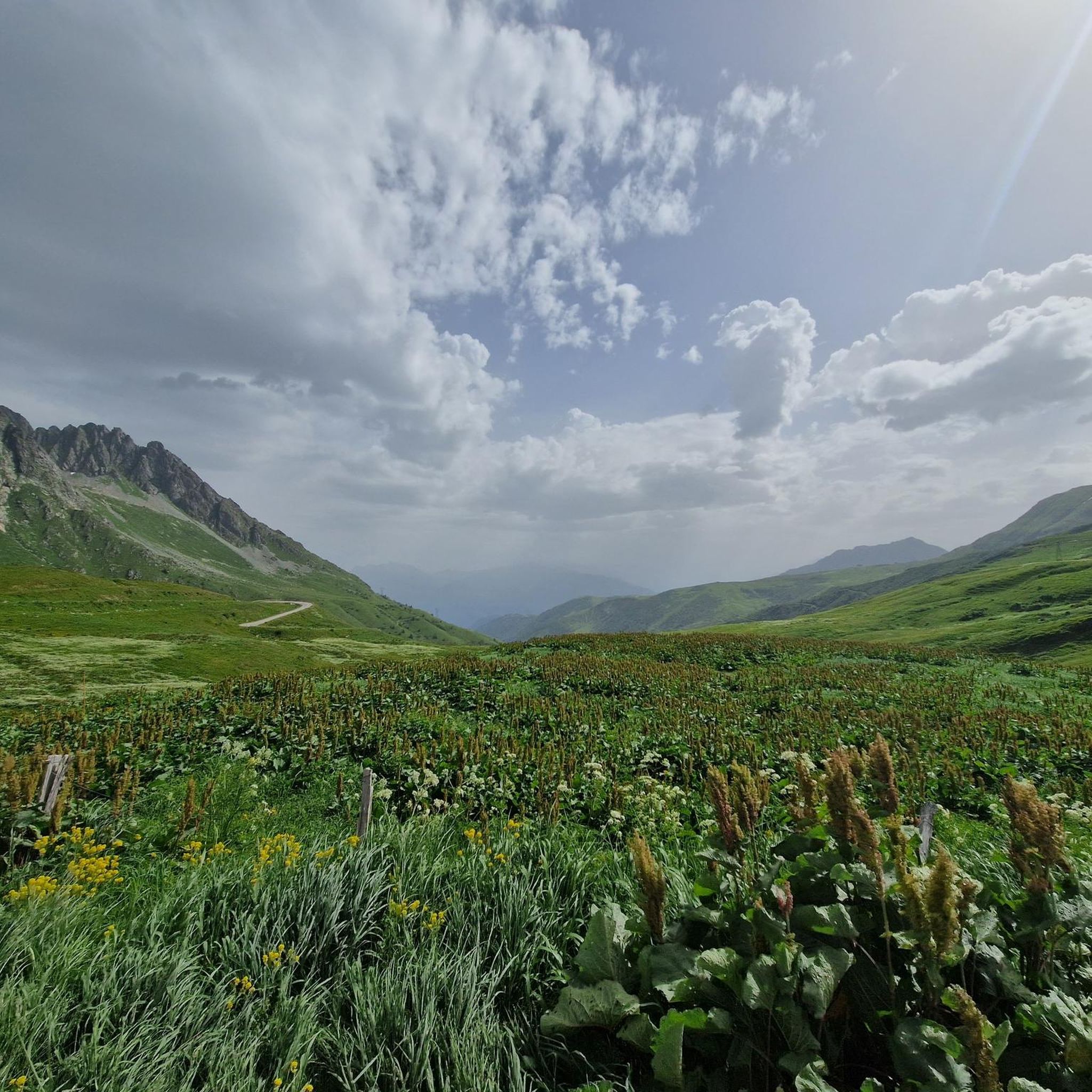
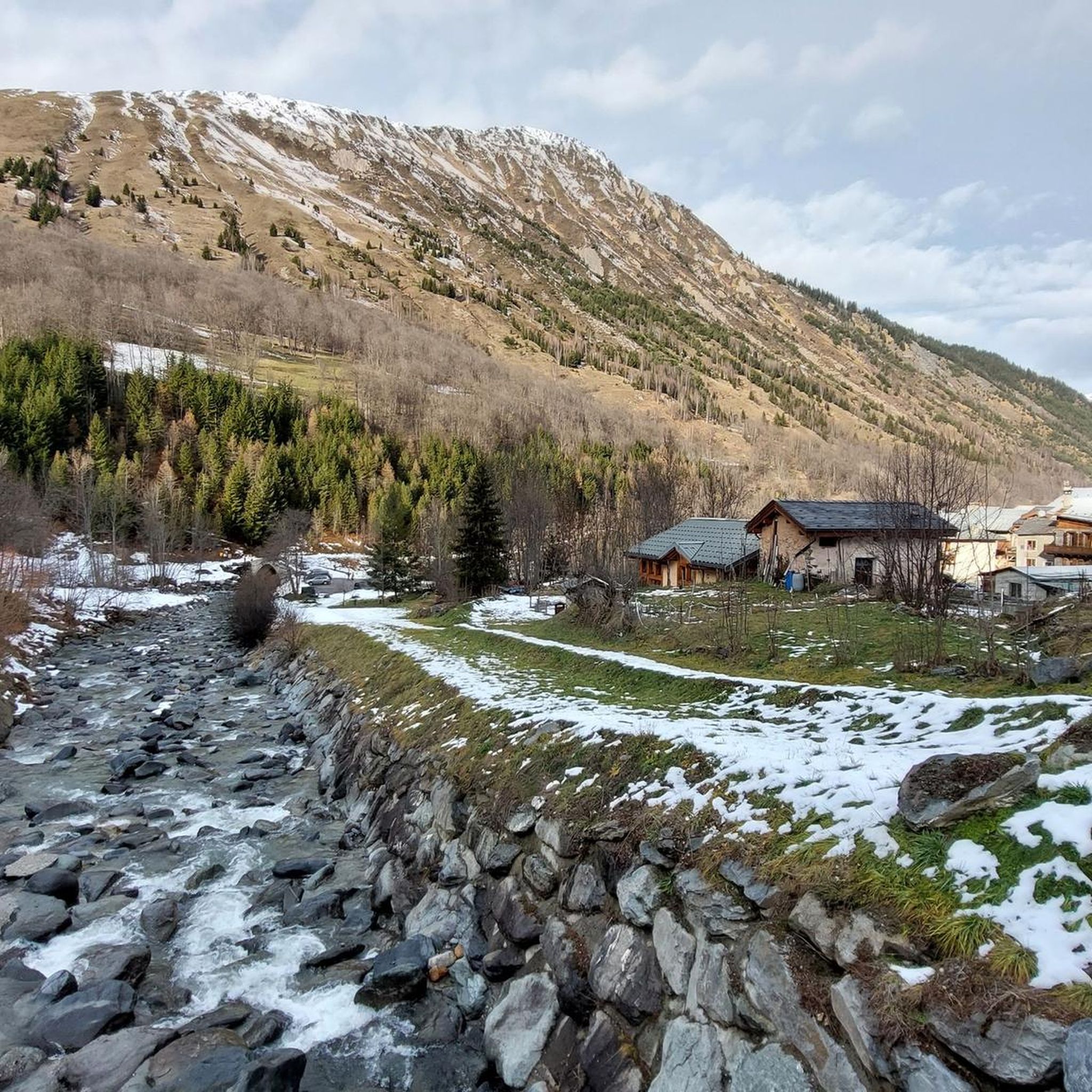
Hiking around Montgellafrey traverses the Lauzière massif in Savoie, France, offering varied terrain for outdoor activities. The region features altitudes ranging from 1050m to 2500m, encompassing forests, mountain pastures, and alpine lakes. Notable natural features include the Lac de la Grande Léchère and access to the Col de la Madeleine. This landscape provides a range of hiking experiences across different elevations.
Best hiking trails around Montgellafrey
- The most popular hiking route is Lac de la Grande Léchère loop from Saint-François-Longchamp…
Last updated: July 1, 2026
4.3
(8)
136
hikers
10.5km
04:40
800m
800m
Moderate hike. Good fitness required. Mostly accessible paths. Sure-footedness required.
4.7
(14)
76
hikers
13.6km
04:22
540m
540m
Moderate hike. Good fitness required. Mostly accessible paths. Sure-footedness required.

Sign up for free
4.6
(5)
112
hikers
Moderate hike. Good fitness required. Easily-accessible paths. Suitable for all skill levels.
4.8
(6)
76
hikers
Hard hike. Very good fitness required. Easily-accessible paths. Suitable for all skill levels.
4.9
(8)
89
hikers
4.64km
01:23
150m
140m
Easy hike. Great for any fitness level. Easily-accessible paths. Suitable for all skill levels.
Get access to more routes and recommendations from other explorers.
Sign up for free
Already have an account?
Our route recommendations are based on thousands of hikes, rides, and runs completed by other people on komoot.
Start today with a free account
Your next adventure awaits.
Login or Signup


Other adventures around Montgellafrey

Tips from the Community


Beautiful wayside cross on the ascent to the Col de la Madelaine
0
0

Narrow passage and splendid view
0
0

Very pleasant path to ride on a mountain bike
0
0

You can order something to eat/drink at the Refuge. Payment in cash only
0
0

A classic climb for the col baggers, but it's not just one for the roadies as it's accessible via off-road routes too. Although off-road access from the north is more mountain bike orientated. Don't miss a photo opportunity against the col monument!
2
1

The Col de la Madeleine connects the Tarantaise and Maurienne valleys. It is part of the family of exceptional passes with more than 1,500 meters of vertical drop on each of its sides.
1
0
Frequently Asked Questions
How many hiking trails are available around Montgellafrey?
There are over 30 hiking trails around Montgellafrey, offering a wide range of experiences from easy strolls to more challenging mountain ascents. The network includes 3 easy, 24 moderate, and 5 difficult routes.
Are there any trails with waterfalls near Montgellafrey?
Yes, you can find trails that feature waterfalls. For example, the Lac de la Grande Léchère – Waterfall loop from Montgellafrey is a moderate 13.6 km route that specifically highlights the presence of waterfalls, adding to the scenic beauty of the hike.
What kind of views can I expect on hikes in Montgellafrey?
Hikes in Montgellafrey offer breathtaking panoramic views of prominent mountain ranges such as the Aiguilles d'Arves, the l'Etendard glacier, and the Belledonne Mountain range. From higher points, like the summit of the Col de la Madeleine, you can even catch glimpses of Mont Blanc.
Are there any circular hiking routes in the Montgellafrey area?
Yes, many routes around Montgellafrey are circular. For instance, the Lac Bleu – Lac Blanc loop from Saint-François-Longchamp is a popular 9.4 km moderate trail connecting two alpine lakes. Another option is the The Black Horse – The ridge loop from Col de la Madeleine, offering ridge views.
What are some notable natural landmarks or attractions to see while hiking?
The region is rich in natural features. You can visit the beautiful Col de la Madeleine, a famous mountain pass, or explore the serene Lac de la Grande Léchère. The area also boasts other alpine lakes like Lac Bleu and Lac Blanc, and offers views of the Lauzière Massif.
What do other hikers say about the trails in Montgellafrey?
The trails in Montgellafrey are highly rated by the komoot community, with an average score of 4.7 stars from over 200 reviews. Hikers often praise the diverse landscapes, from forests and mountain pastures to alpine lakes, and the rewarding panoramic views.
Are there any easy hiking trails suitable for families in Montgellafrey?
Yes, Montgellafrey offers 3 easy trails suitable for families or those looking for a less strenuous walk. These routes typically traverse forests and mountain pastures, providing a gentle introduction to the region's natural beauty.
What is the terrain like for hiking in Montgellafrey?
The terrain around Montgellafrey is varied, ranging from 1050m to 2500m in altitude. You'll encounter mountainous landscapes of the Lauzière massif, serene alpine lakes, and diverse environments including forests and mountain pastures. Trails can be rocky in higher elevations and softer through wooded areas.
Can I find traditional Savoyard villages or cultural sights along the hiking routes?
Yes, some hiking routes will lead you through or near traditional Savoyard villages and hamlets. These charming settlements often feature old wooden attics, washhouses, chapels, and even functioning bread ovens, offering a cultural glimpse into the region's heritage.
Are there any specific trails that offer views of the Col de la Madeleine?
Absolutely. The The Black Horse – The ridge loop from Col de la Madeleine is a moderate 10.6 km trail that provides excellent views from the ridge near the iconic Col de la Madeleine. Another option is the Cross at Col de la Madeleine loop from Saint-François-Longchamp 1650.
What is the best time of year to go hiking in Montgellafrey?
The best time for hiking in Montgellafrey is typically from late spring to early autumn (May to October), when the trails are clear of snow and the weather is most favorable. During these months, you can fully enjoy the alpine lakes, mountain pastures, and panoramic views.
Most popular attractions around Montgellafrey

Get inspired with the komoot mobile app


Explore more
Browse the best Hikes in other regions.
