The best MTB trails around Montgellafrey
4.3
(89)
757
riders
78
rides
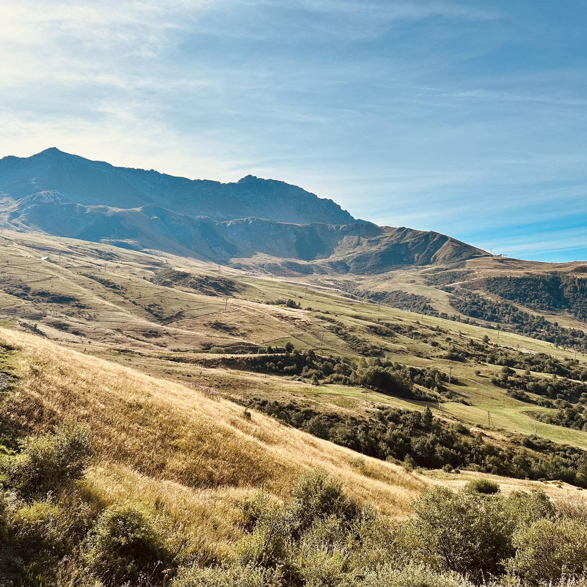
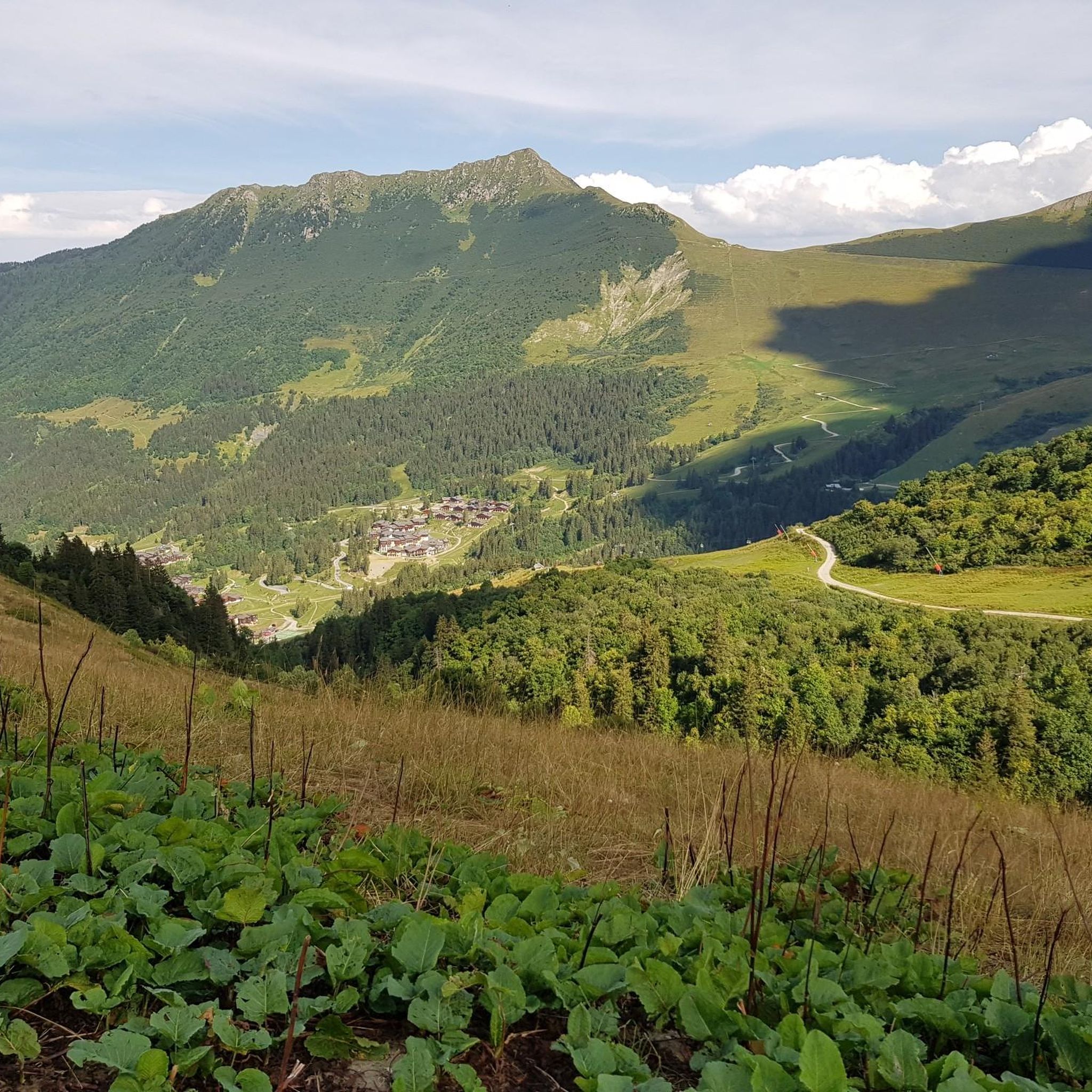
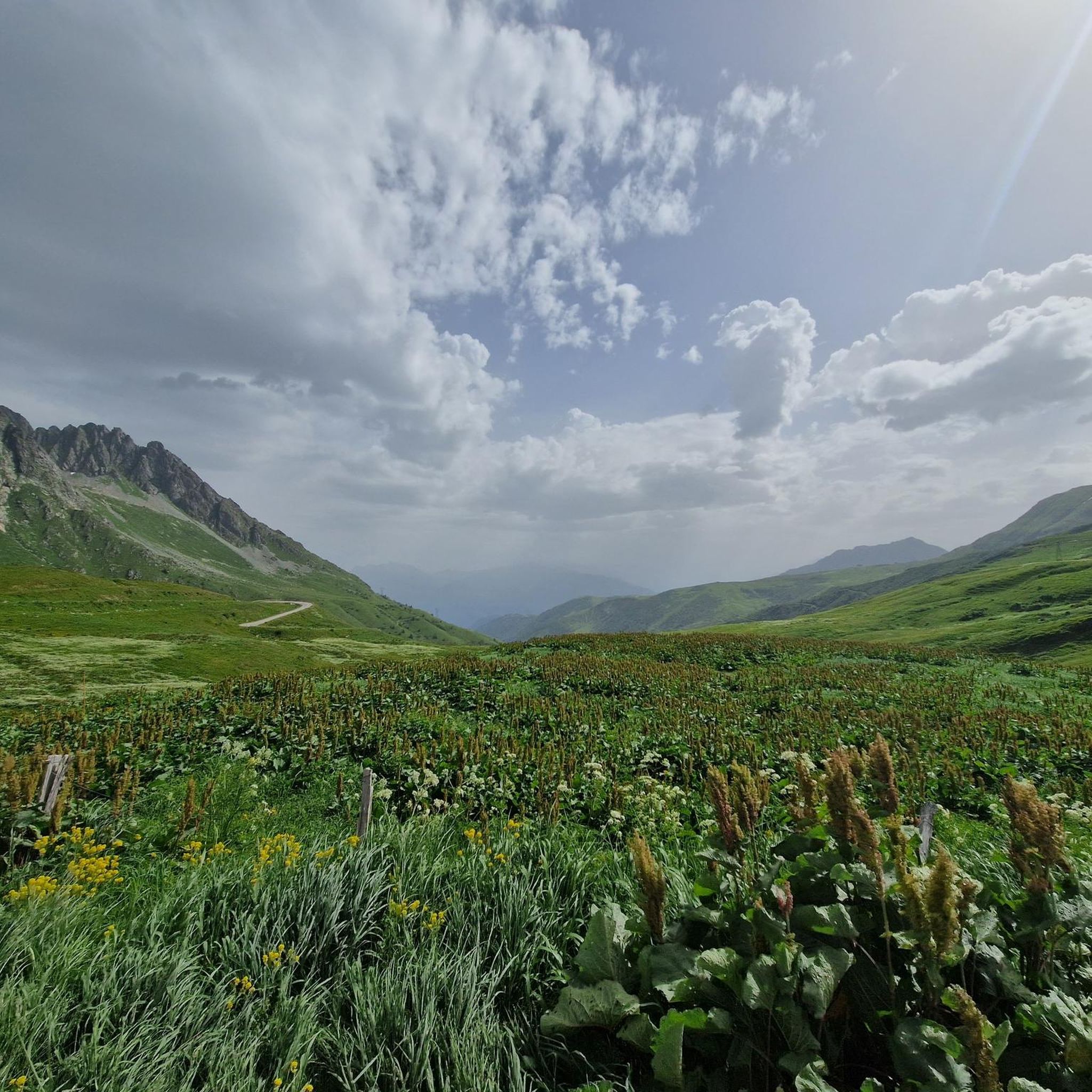
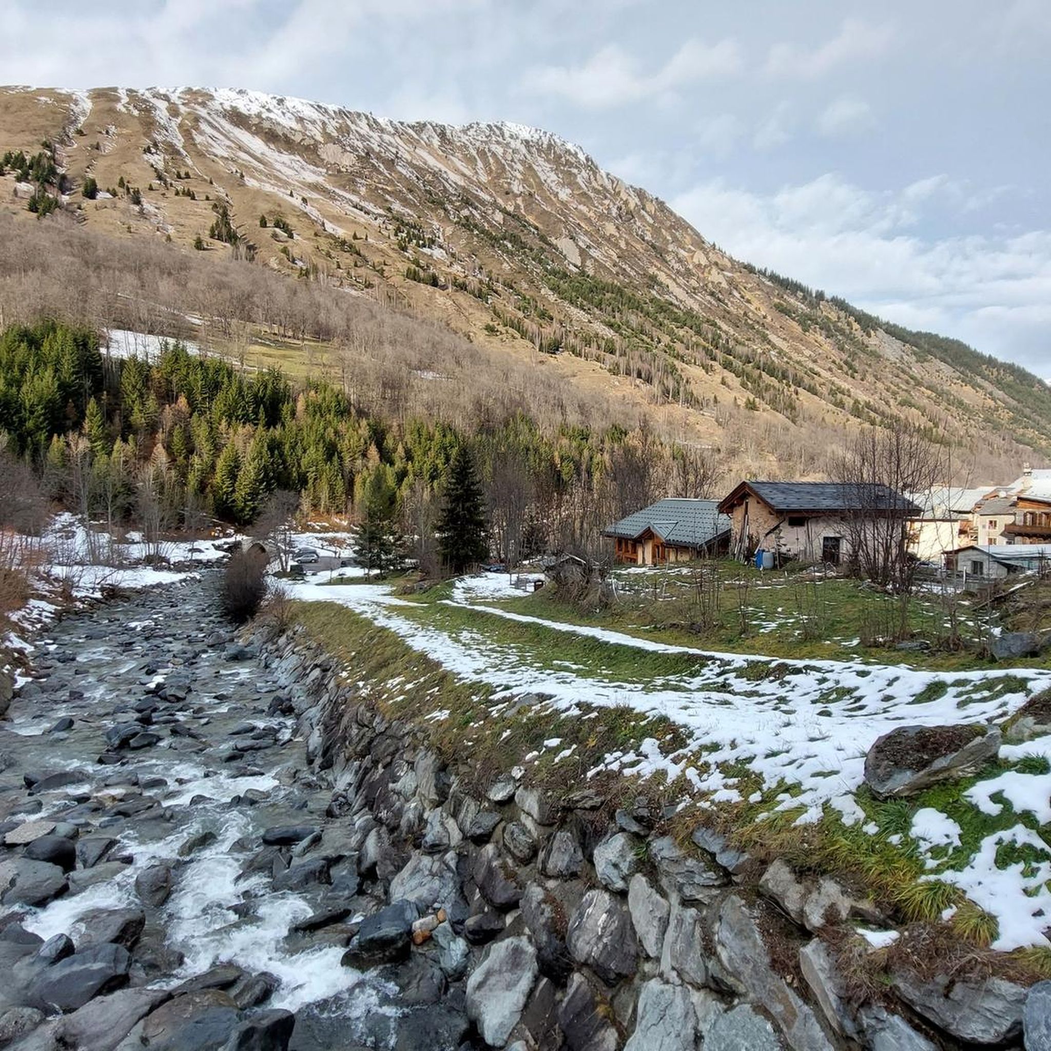
Mountain biking around Montgellafrey offers diverse and challenging landscapes within the Savoie region of France. The area is situated on the Lauzière mountainside, with altitudes ranging from 1050m to 2500m, providing varied terrain for mountain bike trails. Riders can expect a mix of hamlets, forests, and mountain pastures, with significant elevation changes. The region features panoramic views of alpine peaks and includes natural features like the Grande Léchère Lake.
Best mountain bike trails around Montgellafrey
- The most popular mountain bike…
Last updated: July 1, 2026
4.7
(3)
25
riders
20.1km
02:13
730m
730m
Moderate mountain bike ride. Good fitness required. Advanced riding skills necessary.
5.0
(1)
13
riders
Moderate mountain bike ride. Good fitness required. Suitable for all skill levels.

Sign up for free
4.0
(4)
16
riders
23.1km
02:27
730m
730m
Moderate mountain bike ride. Good fitness required. Suitable for all skill levels.
5.0
(1)
21
riders
32.8km
03:14
1,200m
1,190m
Hard mountain bike ride. Very good fitness required. Suitable for all skill levels.
3.0
(3)
9
riders
14.4km
01:45
570m
570m
Hard mountain bike ride. Good fitness required. Advanced riding skills necessary. Some portions of the route may require you to push your bike.
Get access to more routes and recommendations from other explorers.
Sign up for free
Already have an account?
Our route recommendations are based on thousands of hikes, rides, and runs completed by other people on komoot.
Start today with a free account
Your next adventure awaits.
Login or Signup


Other adventures around Montgellafrey

Tips from the Community


Narrow passage and splendid view
0
0

Gravel Bike Ok! A trail used as an alternative to the road to reach La Madeleine during gravel bikepacking. Very pretty and far from cars and motorcycles. The climb from the Col de Chaussy is almost comfortable. The descending section to the heights of Saint-François-Longchamp is a bit more challenging.
0
0

Beautifully laid out. Approximately S1 Set S2 as short as possible.
0
0

The second blue track of the bike park with some modules
0
0
Small blue track good for beginners
0
0
Small, quiet bar in the middle of the downhill slopes
0
0
Frequently Asked Questions
How many mountain bike trails are available around Montgellafrey?
There are over 80 mountain bike trails around Montgellafrey, offering a wide range of options for different skill levels. This includes 4 easy routes, 44 moderate routes, and 33 difficult routes, ensuring there's something for every mountain biker.
What kind of terrain can I expect on mountain bike trails in Montgellafrey?
Montgellafrey, nestled on the Lauzière mountainside, offers diverse and challenging alpine terrain. You can expect significant elevation changes, with altitudes ranging from 1050m to 2500m. Trails traverse hamlets, dense forests, and open mountain pastures, providing varied surfaces and scenic backdrops.
Are there any family-friendly mountain bike trails in Montgellafrey?
While Montgellafrey is known for its challenging alpine routes, there are 4 easy mountain bike trails available. These routes are generally shorter and have less demanding ascents, making them suitable for families or those looking for a more relaxed ride. Always check the route details for specific difficulty and elevation profiles.
What are some notable natural features or landmarks I might see while mountain biking in Montgellafrey?
Mountain biking in Montgellafrey offers stunning panoramic views of the Aiguilles d'Arves, the l'Etendard glacier, and the Belledonne Mountain range. You can also ride past the tranquil Grande Léchère Lake, a beautiful spot for a break. Iconic mountain passes like Col de la Madeleine and Col du Chaussy are also prominent features in the wider region.
Are there any circular mountain bike routes around Montgellafrey?
Yes, many of the mountain bike routes around Montgellafrey are designed as loops. For example, the The Starlight Trail – Nettes Lokal loop from Montgellafrey is a moderate 20.1 km circular route, and the Lac de la Grande Léchère loop from Montgellafrey is a 23.1 km trail that takes you through forests and past the lake.
What do other mountain bikers say about the trails in Montgellafrey?
The mountain bike trails around Montgellafrey are highly rated by the komoot community, with an average score of 4.4 stars from over 90 reviews. Riders often praise the challenging climbs, diverse alpine scenery, and the rewarding views from the mountain passes. Over 900 mountain bikers have used komoot to explore the varied terrain here.
Are there any particularly challenging mountain bike routes for experienced riders?
Absolutely. Montgellafrey is a gateway to some of the most demanding cycling routes in the French Alps. The variant of the Col de la Madeleine accessible via Montgellafrey is considered exceptionally difficult, featuring steep gradients up to 13.5% and a significant elevation gain. The region offers 33 difficult routes for those seeking an intense physical challenge.
Can I find mountain bike routes that include famous climbs like the Montvernier Hairpins?
While Montgellafrey itself is on the Lauzière mountainside, its proximity to the Maurienne valley means you can access famous climbs like the Montvernier Hairpins (Les Lacets de Montvernier) and the Col du Chaussy. These are renowned for their scenic beauty and challenging ascents, having been featured in the Tour de France.
What is the best time of year to go mountain biking in Montgellafrey?
The best time for mountain biking in Montgellafrey is typically during the warmer months, from late spring to early autumn (roughly May to October). During this period, the alpine passes are generally clear of snow, and the weather conditions are more favorable for riding. Always check local weather forecasts and trail conditions before heading out, especially in the shoulder seasons.
Are there any mountain bike trails that start from Saint-François-Longchamp 1650?
Yes, several excellent mountain bike trails are accessible from Saint-François-Longchamp 1650, which is close to Montgellafrey. A popular choice is The Starlight Trail – Flow Trail loop from Saint-François-Longchamp 1650, a moderate 21.3 km route with varied alpine scenery. Another option is the Col de la Madeleine loop from Saint-François-Longchamp 1650, a shorter but still engaging moderate route.
What kind of views can I expect on the mountain bike trails?
The mountain bike trails in Montgellafrey offer breathtaking alpine vistas. You'll be treated to panoramic views of majestic peaks like the Aiguilles d'Arves, the l'Etendard glacier, and the extensive Belledonne Mountain range. From higher elevations, particularly near passes like the Col de la Madeleine, you can even catch glimpses of Mont Blanc on clear days.
Most popular attractions around Montgellafrey

Get inspired with the komoot mobile app


Explore more
Browse the best MTB trails in other regions.
