The 11 Most Amazing Peaks around Glenties Municipal District
Mountain peaks around Glenties Municipal District offer diverse landscapes for exploration. This region in County Donegal, Ireland, is characterized by its rugged mountains, including the Derryveagh range. The area provides opportunities for various outdoor activities, with numerous summits and viewpoints. Its natural features contribute to its appeal for those seeking mountain experiences.
Best mountain peaks around Glenties Municipal District
- The most popular mountain peaks is Mount Errigal, a summit that is the highest mountain in the Derryveagh range, peaking…
Last updated: July 2, 2026
Mount Errigal
Highlight • Summit
Translated by Google •
Tip by

Muckish Summit Cross
Highlight • Summit
Showing Translation
Tip by

Sign up now to discover places like this
Get recommendations on the best single tracks, peaks, & plenty of other exciting outdoor places.
Sign up for free
View of Mount Errigal from Clady River
Highlight • Viewpoint
Tip by

Mackoght (Wee Errigal)
Highlight • Summit
Tip by
Miner's Path Trailhead (Muckish Mountain)
Highlight • Trail
Tip by
Views of Errigal and the Poisoned Glen
Highlight • Viewpoint
Showing Translation
Tip by

Cnoc Fola (Knockfola)
Highlight • Summit
Tip by

View of Mount Errigal Across Lough Dunlewey
Highlight • Viewpoint
Tip by
Ascent to Muckish via the Miners' Path
Highlight • Trail
In addition to the summit cross, one of course also offers a great view, with good weather all the way to Tory Island.
Translated by Google •
Tip by

Views of Muckish across Lough Agher
Highlight • Viewpoint
Tip by
Start today with a free account
Your next adventure awaits.
Login or Signup
Popular around Glenties Municipal District
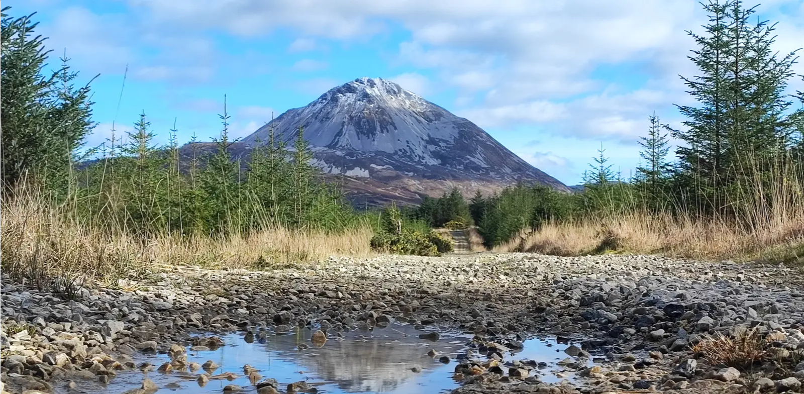
Slí An Earagail – An adventure between the Atlantic and Errigal
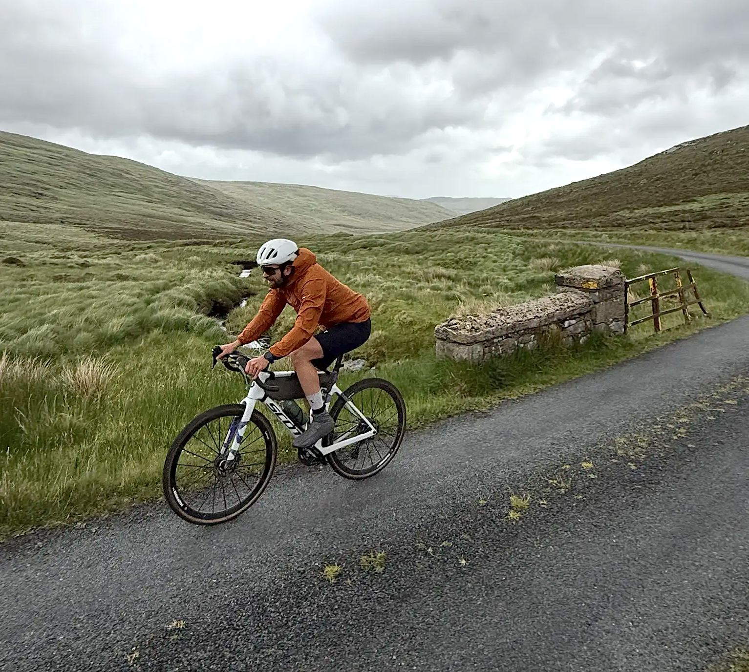
Cycling in County Donegal with Jonas Deichmann

Follow the water - Along Ireland's rivers and lakes
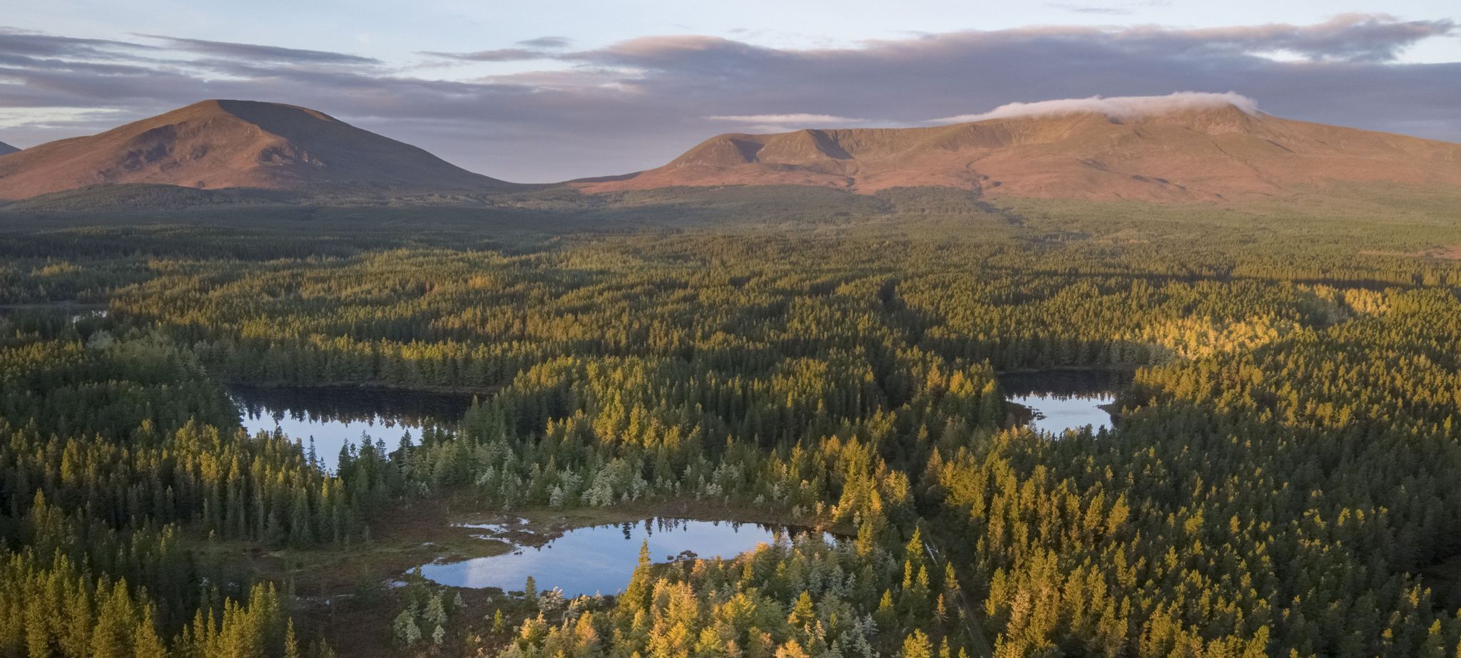
Discover Ireland's unspoilt nature in its national parks

Between waves and peaks — to the best views in Ireland
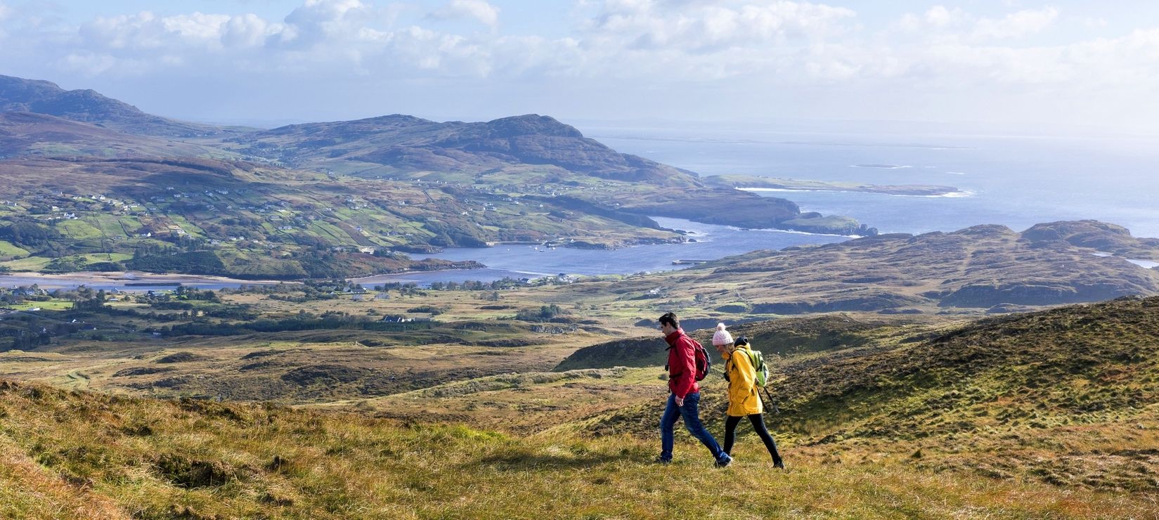
Wild Atlantic Way — day hikes for your road trip along Ireland's coastline
Hiking around Glenties Municipal District
Cycling around Glenties Municipal District
Road Cycling Routes around Glenties Municipal District
MTB Trails around Glenties Municipal District
Other adventures around Glenties Municipal District


Tips from the Community

From this point on the R251 you have the most impressive and unobstructed view of the southwestern flank of Mount Errigal. The mountain rises here almost vertically from the peatland landscape, with the glittering white quartzite scree slopes often mistaken for snow. It is at this moment that you truly realise the immense scale of the mountain; the conical shape dominates the entire horizon here, forming a sharp contrast with the dark, surrounding "boglands".
8
0

The northernmost of the Derryveagh Mountains' Seven Sisters, the flat-topped profile of Muckish is a conspicuous sight. Here, the mountain is seen beautifully from across the waters of Lough Agher. It's classic Donegal scenery.
0
0
Mount Errigal (751 m) is the highest mountain in Donegal and one of Ireland's most iconic peaks. The mountain is immediately striking with its sharp, pyramid-shaped silhouette and its quartz summit that shines almost white in sunlight. Errigal stands apart from the surrounding hills, giving it a dominant presence from all directions — especially when driving inland from Dungloe, Doochary, or Dunlewey.
5
0
If starting from Dunlewy and heading clockwise, this represents the very last section of the Slí An Earagail long-distance trail. Fittingly, it ends beneath the hulking presence of Errigal, the trail's namesake peak and highest mountain in the county. On this stretch, you're also rewarded with great views of the Poisoned Glen, a spectacular valley associated with legends.
1
0
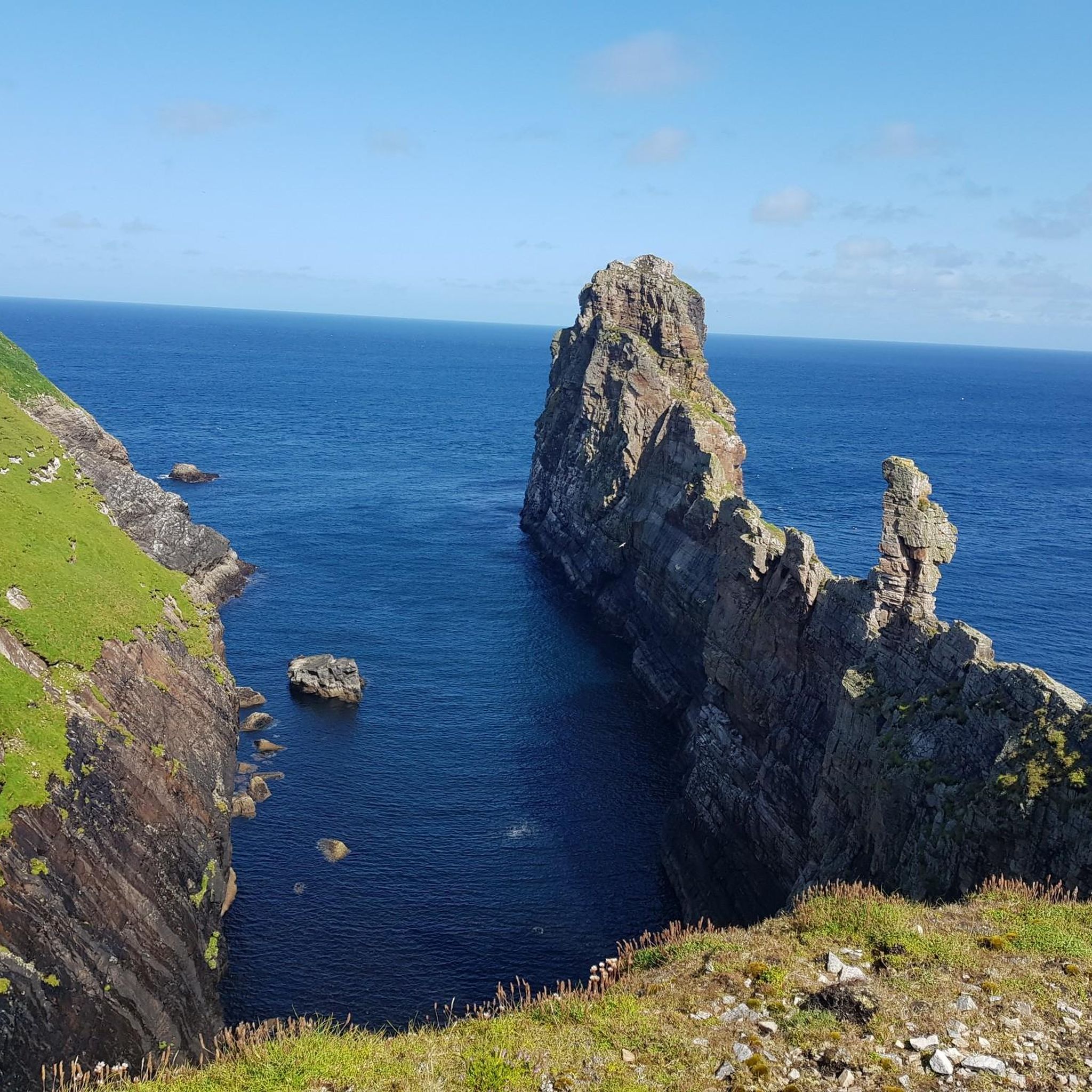
The Cnoc Fola area has a real end of the world feel about it, situated at the very north-western edge of Ireland. It's also known as the Bloody Foreland due to the vibrant reds of the cliffs at sunset. There are many paths towards the sea, as well as the namesake 1,030-foot (314m) hill that looks out across towards Tory Island to the north.
0
0


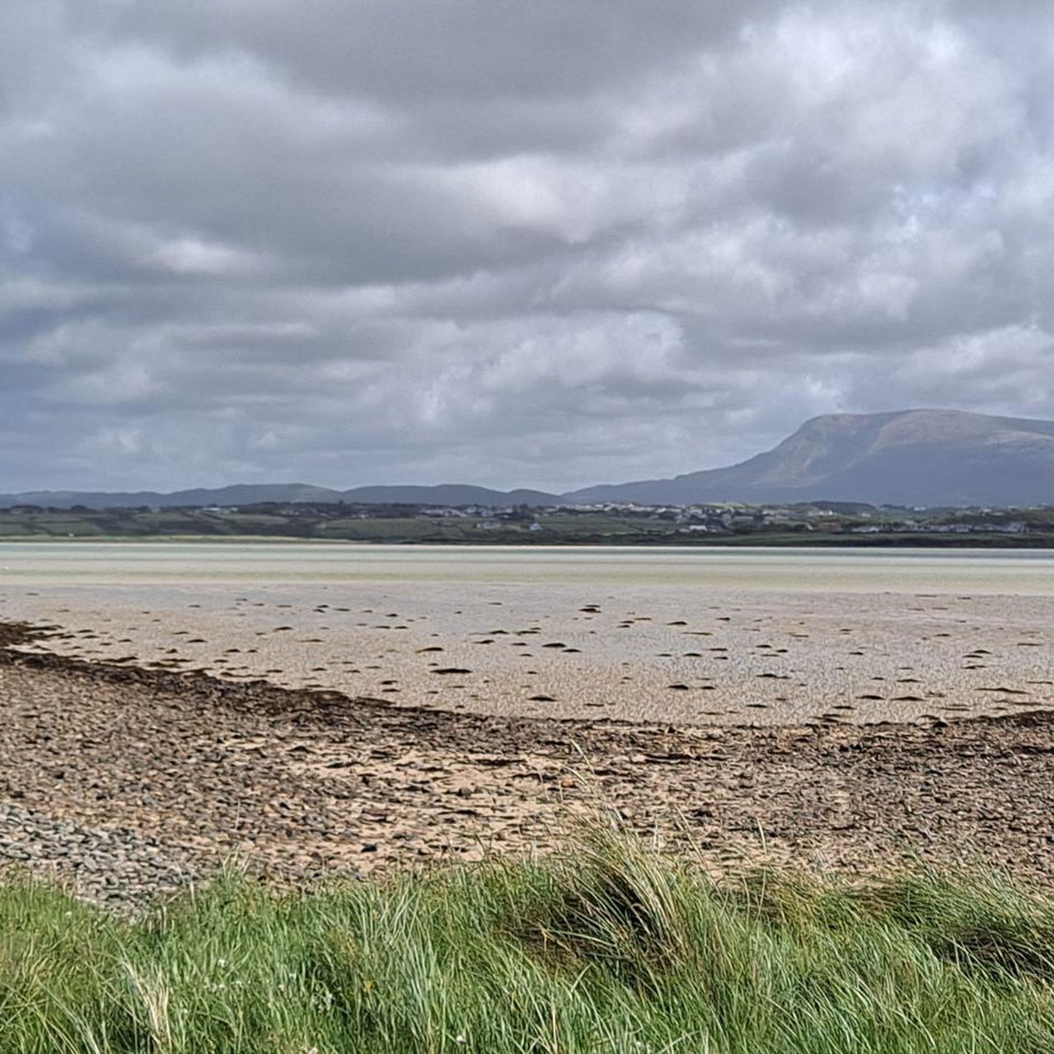
A beautiful view of the Irish Fujijama. Near the hotel on the road there are a few archaic round stone posts which, together with the water, provide a beautiful foreground.
1
0
From the sea side, Muckish Mountain looks like a giant lying wild boar in silhouette. It can be climbed well and safely and offers a great view.
0
0
Frequently Asked Questions
What are the most popular mountain peaks to explore in Glenties Municipal District?
The most popular peak is Mount Errigal, the highest mountain in the Derryveagh range at 715m, known for its magnificent views. Another highly regarded spot is Muckish Summit Cross, offering an all-round view from the northernmost peak of the Derryveagh Mountains.
Are there family-friendly options for enjoying the mountain scenery in Glenties Municipal District?
Yes, there are several family-friendly viewpoints where you can appreciate the mountains without strenuous hiking. Consider the View of Mount Errigal from Clady River or the View of Mount Errigal Across Lough Dunlewey. These spots offer fantastic vistas in a more accessible setting.
What kind of hiking trails can I find near the mountain peaks in Glenties Municipal District?
The region offers a variety of hiking trails. For challenging ascents, consider routes up Mount Errigal or Muckish Summit Cross. For easier options, you can find trails like the Glenveagh Castle along Lough Veagh or the Derrylahan Nature Trail. You can explore more options on the Hiking around Glenties Municipal District guide.
Where can I find parking and trailheads for mountain hikes in the area?
For Muckish Mountain, a convenient starting point is the Miner's Path Trailhead (Muckish Mountain), which has a small parking area. For Mount Errigal, parking is typically available off the R251, though be aware the initial path can be boggy.
Are there mountain peaks suitable for intermediate hikers in Glenties Municipal District?
Yes, intermediate hikers can consider Mackoght (Wee Errigal), which stands at 555m and can be a good extension to a Mount Errigal hike. Cnoc Fola (Knockfola) also offers an intermediate summit experience.
What are the conditions like for climbing Mount Errigal?
The ascent to Mount Errigal is considered challenging. The path from the R251 parking lot can be very boggy, followed by a steep ascent over gravel. Waterproof shoes are highly recommended. The effort is rewarded with magnificent panoramic views from the summit.
What should I know about hiking Muckish Mountain?
Hiking Muckish Mountain is challenging. The 'grotto' side has very peaty subsoil, requiring waterproof shoes and possibly gaiters. The descent on the other side is very rocky and steep, which can be difficult and potentially dangerous, especially in strong winds. The summit offers a beautiful all-round view.
What other outdoor activities can I do near the mountain peaks?
Beyond hiking, you can find various running trails in the district. For example, there are moderate routes like the Lakeside Walk or the Marble Hill Beach loop. More information can be found in the Running Trails around Glenties Municipal District guide.
Are there any easy hiking routes in the Glenties Municipal District?
Yes, for easier hikes, consider routes such as the Glenveagh Castle along Lough Veagh or the Derrylahan Nature Trail, both located within Glenveagh National Park. The Easy hikes around Glenties Municipal District guide provides more options.
What makes the Derryveagh Mountains special in this region?
The Derryveagh Mountains form the backbone of the Glenties Municipal District, characterized by their rugged beauty. They are home to the highest peak, Mount Errigal, and offer diverse landscapes, from boggy lowlands to rocky summits, providing a true wilderness experience.
What kind of views can I expect from the mountain peaks?
The mountain peaks in Glenties Municipal District offer spectacular panoramic views. From Mount Errigal, you can see in all directions, often including the coastline and surrounding ranges. Muckish Summit Cross also provides an extensive all-round vista.
What is the best time of year to hike the mountains in Glenties Municipal District?
While specific data isn't provided, generally, late spring to early autumn (May to September) offers the most favorable weather conditions for hiking in County Donegal, with longer daylight hours and milder temperatures. Always be prepared for changeable weather, even in summer.
Most popular routes around Glenties Municipal District
Most popular attractions around Glenties Municipal District

Get inspired with the komoot mobile app


Explore more
See even more amazing summits around Glenties Municipal District with these guides:
