The best hikes from bus stations around Glenties Municipal District
4.7
(886)
5,709
hikers
3
hikes
Bus station hiking trails around Glenties Municipal District offer access to a diverse landscape in County Donegal, Ireland. The region is characterized by rugged mountains such as Mount Errigal and Muckish Mountain, extensive forests including Glenveagh National Park and Ards Forest Park, and numerous lakes like Lough Veagh. Dramatic coastlines with cliffs and beaches, such as Horn Head and Sheephaven Bay, also define the area. Glenties itself is situated where two glens converge, with rivers flowing through.
Best bus station…
Last updated: July 2, 2026
4.8
(19)
90
hikers
Easy hike. Great for any fitness level. Easily-accessible paths. Suitable for all skill levels.
4.8
(4)
53
hikers
3.76km
00:58
10m
10m
Easy hike. Great for any fitness level. Easily-accessible paths. Suitable for all skill levels.

Sign up for free
5
hikers
2.65km
00:42
20m
20m
Easy hike. Great for any fitness level. Easily-accessible paths. Suitable for all skill levels.
Our route recommendations are based on thousands of hikes, rides, and runs completed by other people on komoot.
Start today with a free account
Your next adventure awaits.
Login or Signup
Popular around Glenties Municipal District
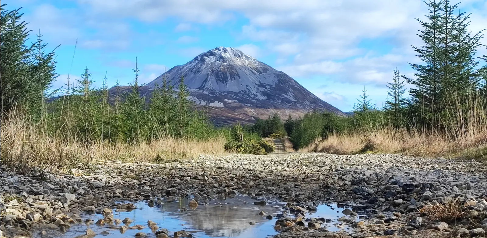
Slí An Earagail – An adventure between the Atlantic and Errigal

Follow the water - Along Ireland's rivers and lakes
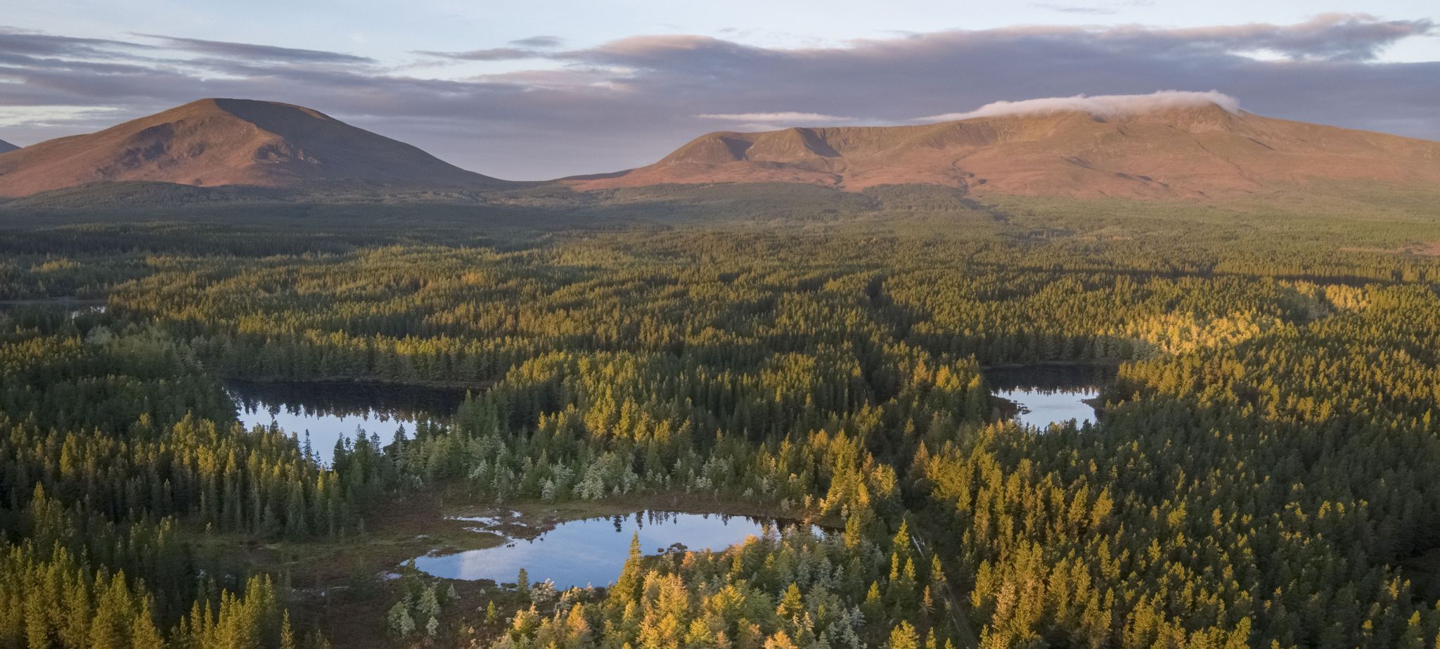
Discover Ireland's unspoilt nature in its national parks

Between waves and peaks — to the best views in Ireland
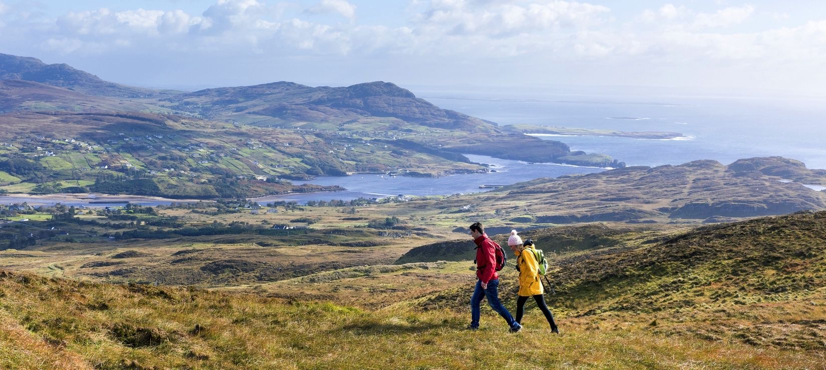
Wild Atlantic Way — day hikes for your road trip along Ireland's coastline
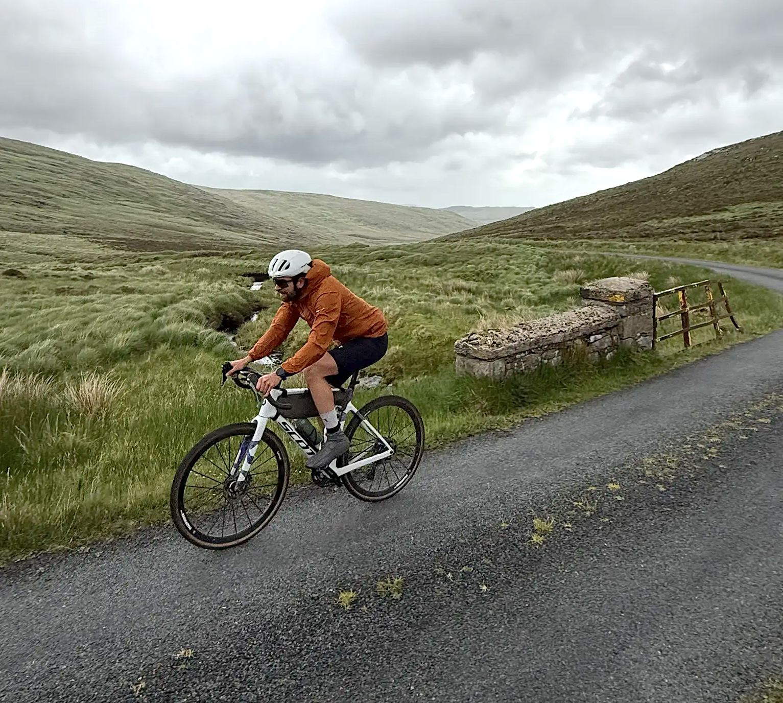
Cycling in County Donegal with Jonas Deichmann
Other adventures around Glenties Municipal District


Tips from the Community


The whole valley is a huge national park where you can hike for days.
1
1

The park is home to one of Ireland's largest herds of red deer
2
2

This is a wonderful place to come with young hikers who will love exploring and seeking out the tiny fairy houses.
0
0
The path heads out from Dungloe towards Dungloe Lough and is on pavement and good quality gravel. A sculpture trail lines the route. It's also a good area for birdwatching so don't forget your binoculars.
0
0


Glenveagh National Park is one of the really big attractions in County Donegal in the north-west of the Republic of Ireland, and not just in terms of extent. The idyllic area of lakes and moorland measures a good 16,500 hectares. Of Ireland's six national parks, only Wicklow National Park is larger. 100 hectares are covered with dense forest, its largest being Mullangore Wood. Oaks and birches predominate here alongside ash, yew and aspen, over holly and hazelnut. The park is part of the Derryveagh Mountains.
6
3

At the center of the park on the edge of Lough Veagh is Glenveagh Castle, a late 19th century crenellated manor house built as a hunting lodge. There is also a small restaurant here. You can walk here from the parking lot and take the bus back, or vice versa.
17
2
Frequently Asked Questions
How many bus station hiking trails are available in Glenties Municipal District?
Currently, there are 3 easy hiking trails directly accessible from bus stations in Glenties Municipal District. These routes offer convenient starting points for exploring the local scenery.
What kind of terrain can I expect on bus-accessible hikes in Glenties Municipal District?
The bus-accessible hikes in Glenties Municipal District typically feature gentle terrain, often following river paths or nature trails. For example, the Dungloe River Walk & Cope Mountain offers a pleasant stroll along the river, while the Derrylahan Nature Trail winds through forested areas, providing a mix of natural surfaces.
Are there any easy bus station hikes suitable for beginners or families?
Yes, all 3 of the bus-accessible hikes in this guide are rated as easy, making them ideal for beginners and families. They feature minimal elevation gain and shorter distances, perfect for a relaxed outing. The Derrylahan Nature Trail, for instance, is a gentle 2.5 km loop through Glenveagh National Park.
What is the typical length and duration of hikes accessible from bus stations?
The bus-accessible hikes in Glenties Municipal District are generally short to moderate in length. They range from approximately 2.5 km to 3.7 km, with estimated durations between 40 minutes to just over an hour of active walking time. This makes them perfect for a quick escape into nature without requiring a full day commitment.
What can I see along the bus station hiking trails?
While the bus station trails themselves offer pleasant natural scenery, the broader Glenties Municipal District is rich in natural attractions. You can find stunning natural monuments like the Assaranca Waterfall and dramatic coastal features such as the Horn Head Cliffs. The region is also home to impressive peaks like Mount Errigal, offering panoramic views from a distance.
Are there any circular routes among the bus-accessible hikes?
Yes, the Citroën Coffee Truck loop from Carrick is a circular route, allowing you to start and end your hike at the same point. This is convenient for those relying on public transport as it eliminates the need for a return journey along the same path.
Are the bus-accessible trails in Glenties Municipal District dog-friendly?
Many trails in County Donegal, including those in Glenties Municipal District, are generally dog-friendly, especially if dogs are kept on a leash. However, specific rules can vary, particularly within protected areas like Glenveagh National Park. It's always best to check local signage or park regulations for the most current information regarding pets on trails like the Derrylahan Nature Trail.
What is the best time of year to hike these bus-accessible trails?
The Glenties Municipal District is beautiful year-round, but the best time for hiking is typically from late spring to early autumn (May to September). During these months, you can expect milder weather, longer daylight hours, and less rainfall, making for more comfortable hiking conditions on trails like the Dungloe River Walk & Cope Mountain. Always be prepared for changeable weather, regardless of the season.
What do other hikers enjoy the most about hiking in Glenties Municipal District?
The area is highly rated by the komoot community, with an average score of 4.6 stars from over 800 ratings. Reviewers often praise the region's diverse and dramatic landscapes, from rugged mountains to serene lakes and stunning coastlines. The convenience of accessible trails and the natural beauty are frequently highlighted.
Are there any facilities like cafes or pubs near the bus station hiking trails?
Glenties town, where many bus routes converge, offers various amenities including cafes, pubs, and accommodations. While specific facilities might not be directly at every trailhead, you'll find options in the nearby towns and villages for refreshments before or after your hike. For example, the Citroën Coffee Truck loop from Carrick suggests a coffee stop, indicating local amenities are often within reach.
Can I find any historical or cultural points of interest along these routes?
While the specific bus-accessible routes in this guide focus on natural beauty, the wider Glenties Municipal District is rich in history. You can find sites like the Horn Head Signal Tower Ruins and the Glencolmcille Folk Village, which offer glimpses into the region's past. Ancient sites such as ring forts, standing stones, and dolmens are also scattered throughout the landscape, providing cultural context to your outdoor adventures.
Most popular routes around Glenties Municipal District
Most popular attractions around Glenties Municipal District

Get inspired with the komoot mobile app


Explore more
Browse the best Hikes in other regions.
