The best dog-friendly hikes and walks around Glenties Municipal District
4.7
(827)
5,445
hikers
3
hikes
Dog friendly hiking trails around Glenties Municipal District traverse a diverse landscape in County Donegal, Ireland. The region features rugged mountains, expansive forests, and dramatic coastlines, offering varied terrain for outdoor enthusiasts. Hikers can explore significant peaks, extensive woodlands, and numerous lakes and rivers, providing a range of experiences from challenging ascents to leisurely coastal walks.
Best dog friendly hiking trails around Glenties Municipal District
- The most popular dog friendly hiking route is Arranmore Way, a 12.5 miles (20.1 km) trail that takes 5 hours 36 minutes to complete. This route offers a challenging exploration of the island's varied terrain.
- Another top favourite among local hikers is Arranmore Island/Árainn Mhór loop to Aphort Beach, a moderate 7.5 miles (12.0 km) path. This trail provides scenic coastal views and a journey through the island's natural beauty.
- Local hikers also love the Aphort Beach – View of Aphort Beach loop from Leabgarrow, a 5.3 miles (8.5 km) trail leading through coastal landscapes, often completed in about 2 hours 26 minutes.
- Hiking around Glenties Municipal District is defined by rugged mountains, dramatic coastlines, and serene lakes. The network offers options for different ability levels, from moderate coastal loops to more difficult island explorations.
- The routes in Glenties Municipal District are highly rated by the komoot community with an average score of 4.7 stars from more than 400 reviews. More than 3700 hikers have used komoot to explore Glenties Municipal District's varied terrain.
Last updated: May 22, 2026
4.7
(6)
28
hikers
20.1km
05:37
390m
390m
Hike the difficult Arranmore Way, a 12.5-mile loop on Arranmore Island, offering coastal views, summits, and a lighthouse.
5.0
(2)
20
hikers
12.0km
03:24
260m
260m
Moderate hike. Good fitness required. Easily-accessible paths. Suitable for all skill levels.

Sign up for free
4
hikers
8.52km
02:26
200m
210m
Moderate hike. Good fitness required. Easily-accessible paths. Suitable for all skill levels.
Our route recommendations are based on thousands of hikes, rides, and runs completed by other people on komoot.
Start today with a free account
Your next adventure awaits.
Login or Signup
Popular around Glenties Municipal District
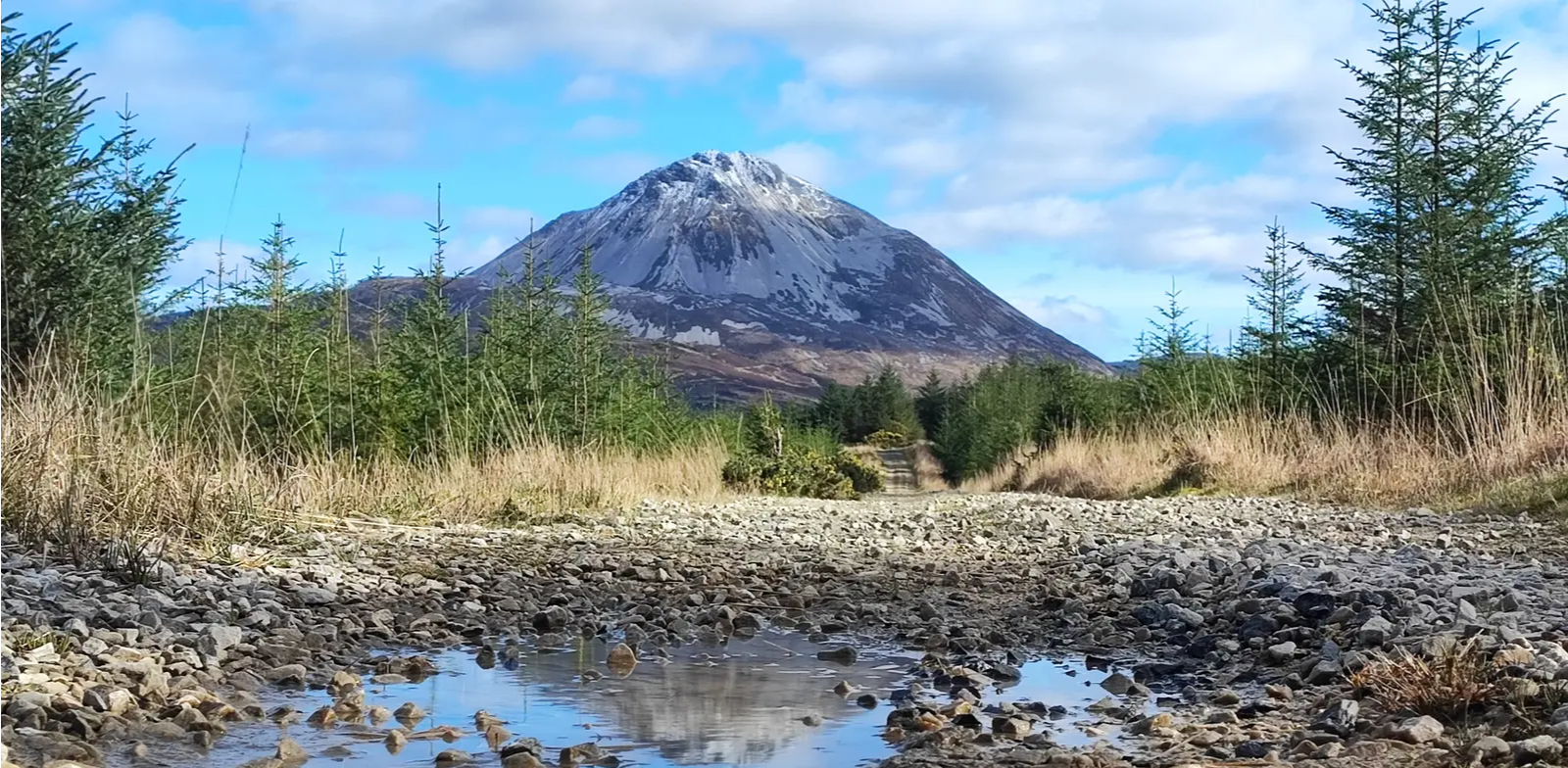
Slí An Earagail – An adventure between the Atlantic and Errigal

Follow the water - Along Ireland's rivers and lakes
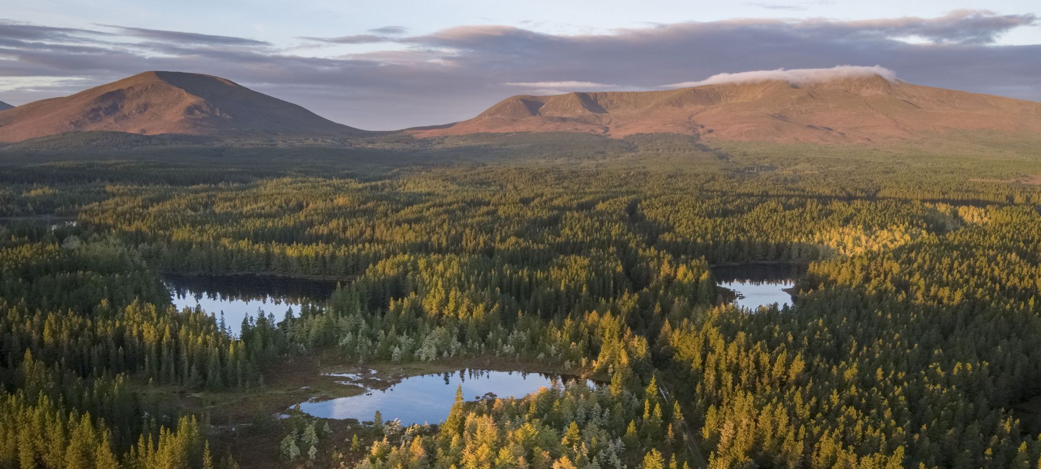
Discover Ireland's unspoilt nature in its national parks

Between waves and peaks — to the best views in Ireland
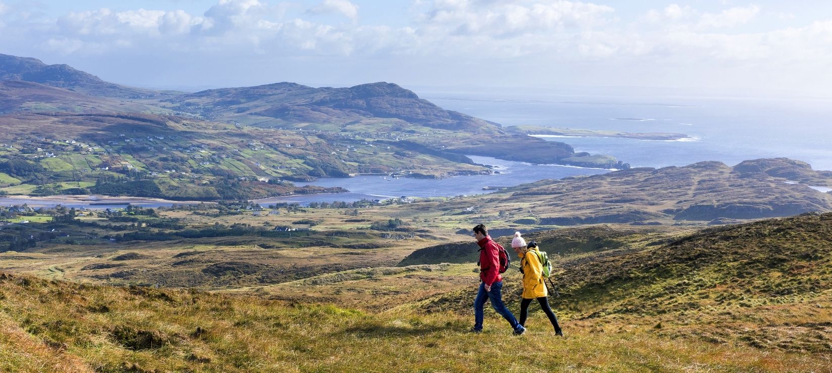
Wild Atlantic Way — day hikes for your road trip along Ireland's coastline
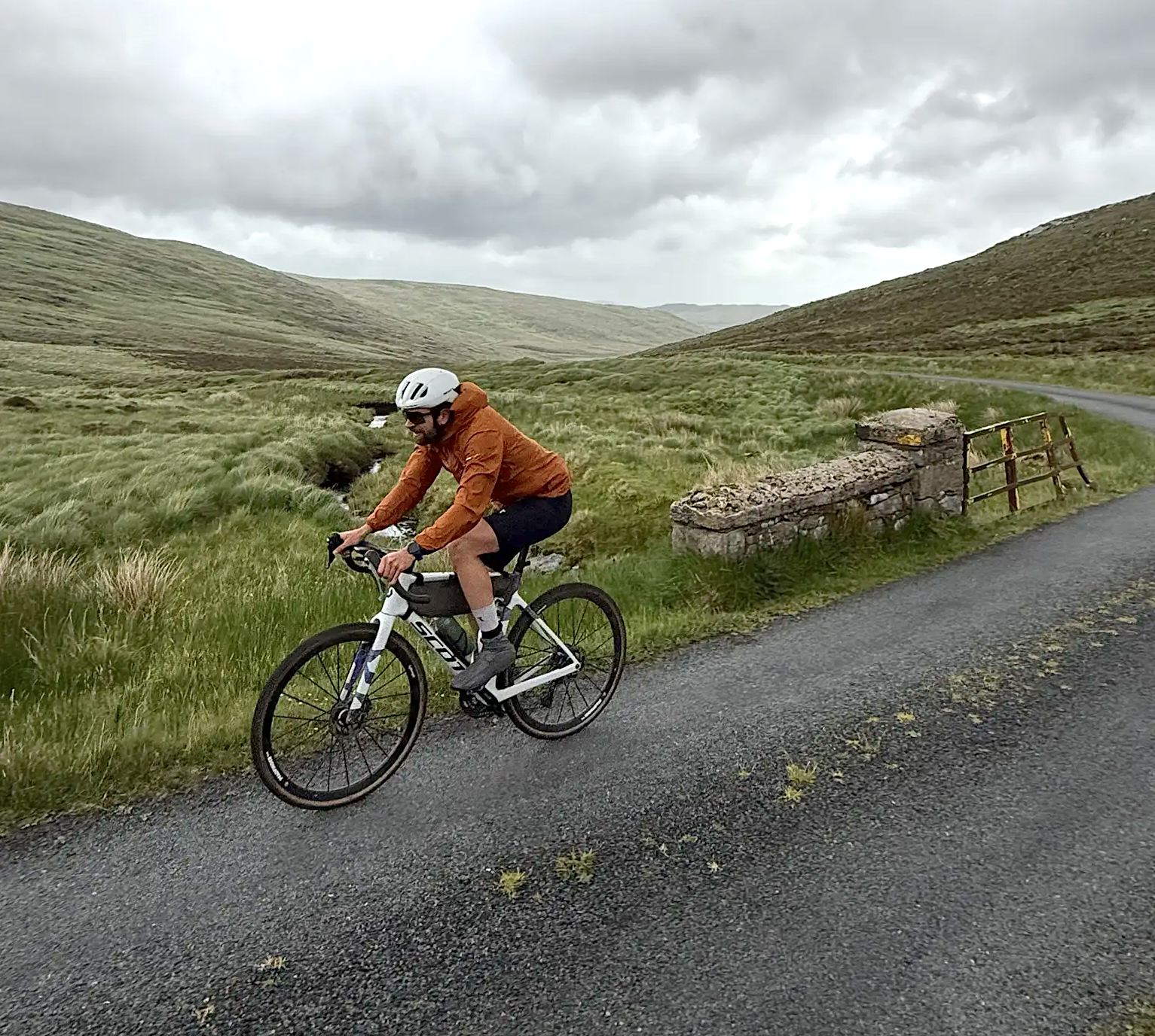
Cycling in County Donegal with Jonas Deichmann
Other adventures around Glenties Municipal District


Tips from the Community

Worth the walk out to the lighthouse. There are steps from the lighthouse gate down to a small cove. Probably OK to swim here in the summer. Definitely not a winter swim!
0
0

Everywhere you look on Arranmore Island you are rewarded with fantastic views. The coast is wonderfully rugged with something different to admire at every turn.
0
0
A beautiful sight, Aphort Beach arcs round in a pleasing curve of white sand. As you approach it on the road, the draw of a dip in the clear waters gets harder to ignore.
0
0
The lighthouse has stood here since 1798. Painted a bright white, it makes a beautiful contrast to the blue of the sea and the green of the countryside.
0
0
If peace and solitude are what you are looking for, you've come to the right place. You might well have the beach to yourself. There is a small fishing harbour which is worth strolling along the white sand to check out.
0
0
A beautiful sight, Aphort Beach arcs round in a pleasing curve of white sand. As you approach it on the path, the draw of a dip in the clear waters gets harder to ignore.
0
0

Arronmore Lighthouse is found on the North West corner of the island. It has been there in various forms since 1798. The island is twinned with Beaver Island USA which is the biggest island on Lake Michigan. The lighthouse holds a significant link with the USA as it is where American Wayne Dickinson was found after crossing the Atlantic from Boston in a 8ft 9 inch boat known as 'Gods Tear'. At the time this was the smallest ever craft to cross the Alantic. After 142 days a storm swept him onto rocks below Arranmore Island and Wayne was found at the lighthouse having retreated to it. It is worth stepping off the bike here and exploring the area around the lighthouse on foot. Please take care and stay away from the cliff edges, they are vertial!
1
0
Frequently Asked Questions
How many dog-friendly hiking trails are available in Glenties Municipal District?
Komoot offers 3 dog-friendly hiking routes in the Glenties Municipal District. These range from moderate to difficult, providing options for various fitness levels and experiences.
Are there any easy dog-friendly hikes in the Glenties Municipal District?
While the routes listed in this guide are rated as moderate to difficult, the Glenties Municipal District offers a diverse landscape. For easier options, consider exploring trails within Ards Forest Park or the smaller looped walks around the town of Glenties, such as the Mullantyboyle Loop or Meenahalla Loop, which are generally more gentle and suitable for a relaxed stroll with your dog.
What kind of terrain can I expect on dog-friendly hikes in this region?
The Glenties Municipal District boasts varied terrain, from rugged mountains like Mount Errigal to dramatic coastlines and expansive forests. You can expect trails winding through woodlands, along serene lakes, and offering panoramic views from higher elevations. Some coastal paths may feature cliffs, while inland routes often traverse rolling hills and river valleys.
Are there any circular dog-friendly walks available?
Yes, there are circular options for dog-friendly walks. For example, the Arranmore Island/Árainn Mhór loop to Aphort Beach is a moderate circular route covering over 12 km. Another option is the Aphort Beach – View of Aphort Beach loop from Leabgarrow, which is also a moderate circular trail.
What are some notable natural attractions I can see on dog-friendly hikes?
The region is rich in natural beauty. You might encounter dramatic coastal features like the Horn Head Cliffs, serene beaches such as Sheephaven Bay Beach, or majestic peaks like Mount Errigal. The area also features beautiful forests like Ards Forest Park and even waterfalls like Assaranca Waterfall, though specific dog policies for each highlight should be checked.
What is the dog policy for Glenveagh National Park and Ards Forest Park?
Glenveagh National Park generally allows dogs on leads on most trails, but they are typically not permitted inside buildings or certain sensitive wildlife areas. Ards Forest Park is known for being dog-friendly, with many trails suitable for dogs on leads. Always check the specific park's official website or signage upon arrival for the most current and detailed dog policies, especially regarding leash requirements and restricted areas.
Are there any historical sites accessible with my dog?
Yes, some historical elements can be found along trails. For instance, the Horn Head Signal Tower Ruins offer a glimpse into the region's past with stunning views, and are often accessible on coastal walks. While Glenveagh Castle is a prominent historical site, dogs are usually not allowed inside the castle itself, but may be permitted on the surrounding grounds and trails on a lead.
What is the best time of year to go hiking with my dog in Glenties Municipal District?
Spring and autumn generally offer the most pleasant conditions for hiking with dogs, with milder temperatures and fewer crowds. Summer can be beautiful but also busier, especially in popular areas. Winter hikes are possible but require appropriate gear for both you and your dog due to potentially wet and cold conditions, especially in mountainous areas.
What should I bring for a dog-friendly hike in this region?
Always bring water for both yourself and your dog, a leash, waste bags, and appropriate footwear for the varied terrain. Depending on the length and difficulty of the hike, consider bringing a first-aid kit for dogs, extra food, and a towel for muddy paws. For coastal or exposed mountain routes, waterproof and windproof layers are advisable.
What do other hikers enjoy most about dog-friendly trails in Glenties Municipal District?
The Glenties Municipal District is highly rated by the komoot community, with an average score of 4.7 stars. Reviewers often praise the stunning natural beauty, the sense of solitude on many trails, and the diverse landscapes that make for engaging walks with their canine companions. The well-maintained paths in areas like Ards Forest Park are also frequently highlighted.
Are there any longer, more challenging dog-friendly routes for experienced hikers?
Yes, for experienced hikers and their dogs, the Arranmore Way offers a challenging experience. This route spans over 20 km with significant elevation gain, providing a demanding yet rewarding adventure across varied terrain.
Most popular routes around Glenties Municipal District
Most popular attractions around Glenties Municipal District

Get inspired with the komoot mobile app


