The best road cycling routes around Glenties Municipal District
4.3
(15)
1,123
riders
97
rides
Road cycling routes around Glenties Municipal District traverse a diverse landscape featuring coastal stretches, dramatic cliffs, and serene lakes, set against a backdrop of mountains and dense forests. The region offers varied terrain, from well-paved roads to segments that may require careful navigation. Cyclists can expect routes with varying elevation profiles, providing options for different fitness levels.
Best road cycling routes around Glenties Municipal District
- The most popular road cycling route is The Rosses Loop, a 19.5 miles (31.5…
Last updated: July 7, 2026
23
riders
31.5km
01:22
220m
220m
Easy 19.5-mile (31.5 km) road cycling route from Dungloe, offering scenic coastal views and well-paved terrain in West Donegal.
5.0
(1)
18
riders
90.4km
04:02
960m
960m
Hard road ride. Very good fitness required. Mostly well-paved surfaces and easy to ride.

Sign up for free
6
riders
31.3km
01:22
300m
300m
Cycle the easy 19.4-mile From Derrybeg to Bloody Foreland loop for stunning Atlantic views and dramatic coastal scenery in Donegal.
6
riders
56.0km
02:26
460m
470m
Moderate road ride. Good fitness required. Mostly well-paved surfaces and easy to ride.
4
riders
53.3km
02:24
510m
510m
Moderate road ride. Good fitness required. Mostly well-paved surfaces and easy to ride.
107km
05:20
1,200m
1,200m
Hard road ride. Very good fitness required. Mostly well-paved surfaces and easy to ride.
5.0
(1)
44
riders
83.0km
03:54
900m
900m
Hard road ride. Very good fitness required. Mostly well-paved surfaces and easy to ride.
5.0
(2)
42
riders
54.5km
02:39
620m
620m
Moderate road ride. Good fitness required. Some segments of this route may be unpaved and difficult to ride.
32
riders
53.7km
02:31
490m
490m
Moderate road ride. Good fitness required. Mostly well-paved surfaces and easy to ride.
30
riders
Moderate road ride. Good fitness required. Some segments of this route may be unpaved and difficult to ride.
Get access to more routes and recommendations from other explorers.
Sign up for free
Already have an account?
Our route recommendations are based on thousands of hikes, rides, and runs completed by other people on komoot.
Start today with a free account
Your next adventure awaits.
Login or Signup
Popular around Glenties Municipal District
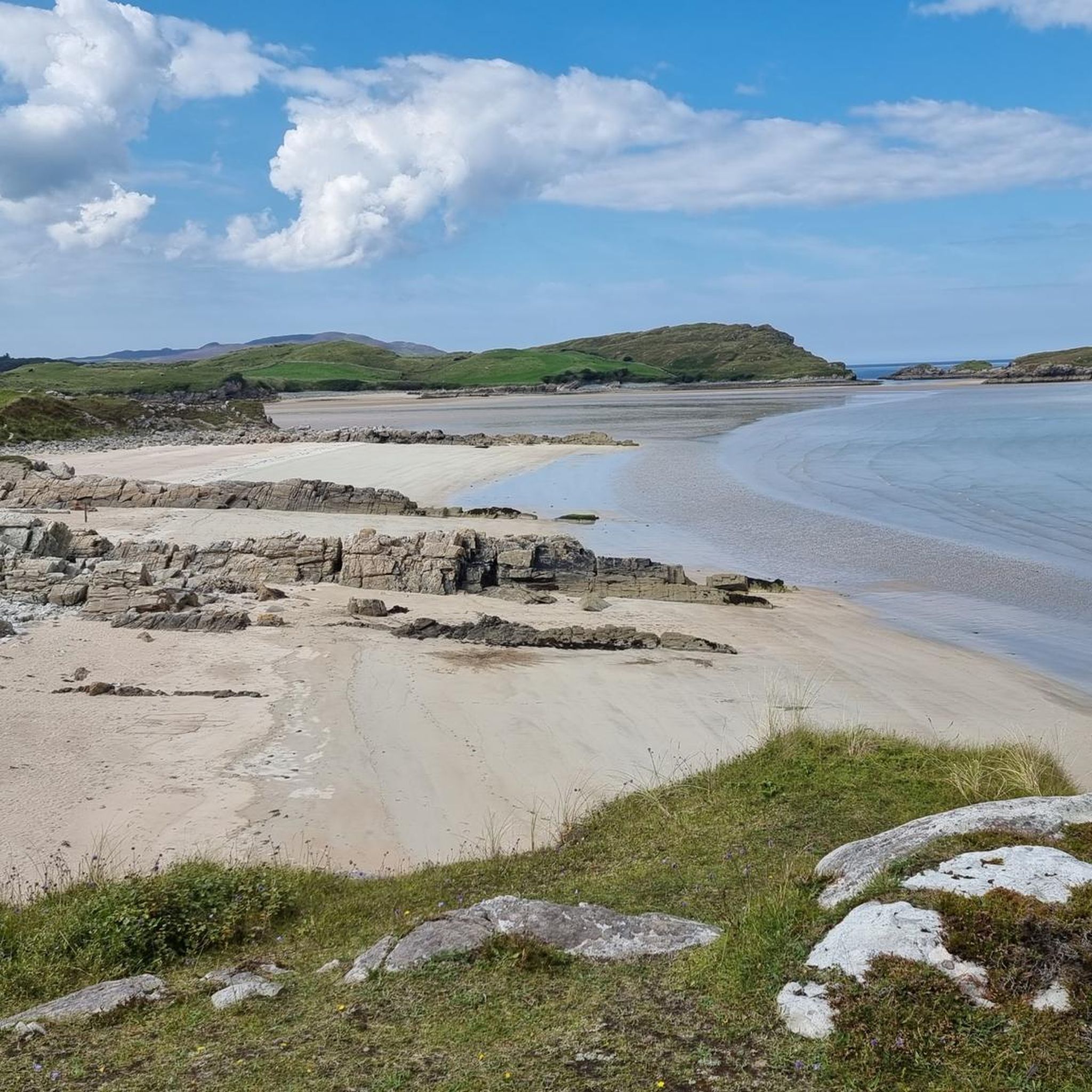
Road Cycling Routes around Ards Forest
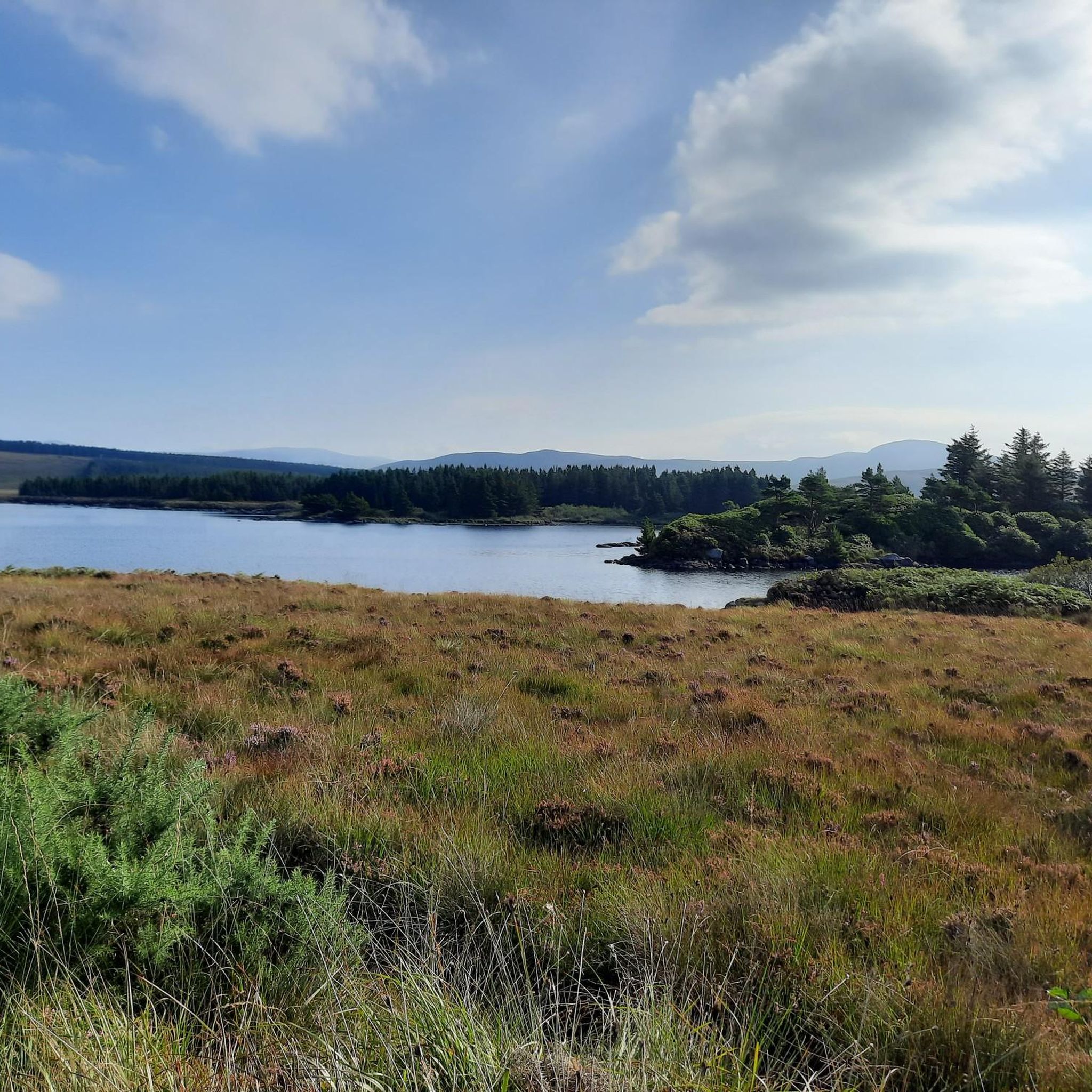
Road Cycling Routes around Dungloe Lough
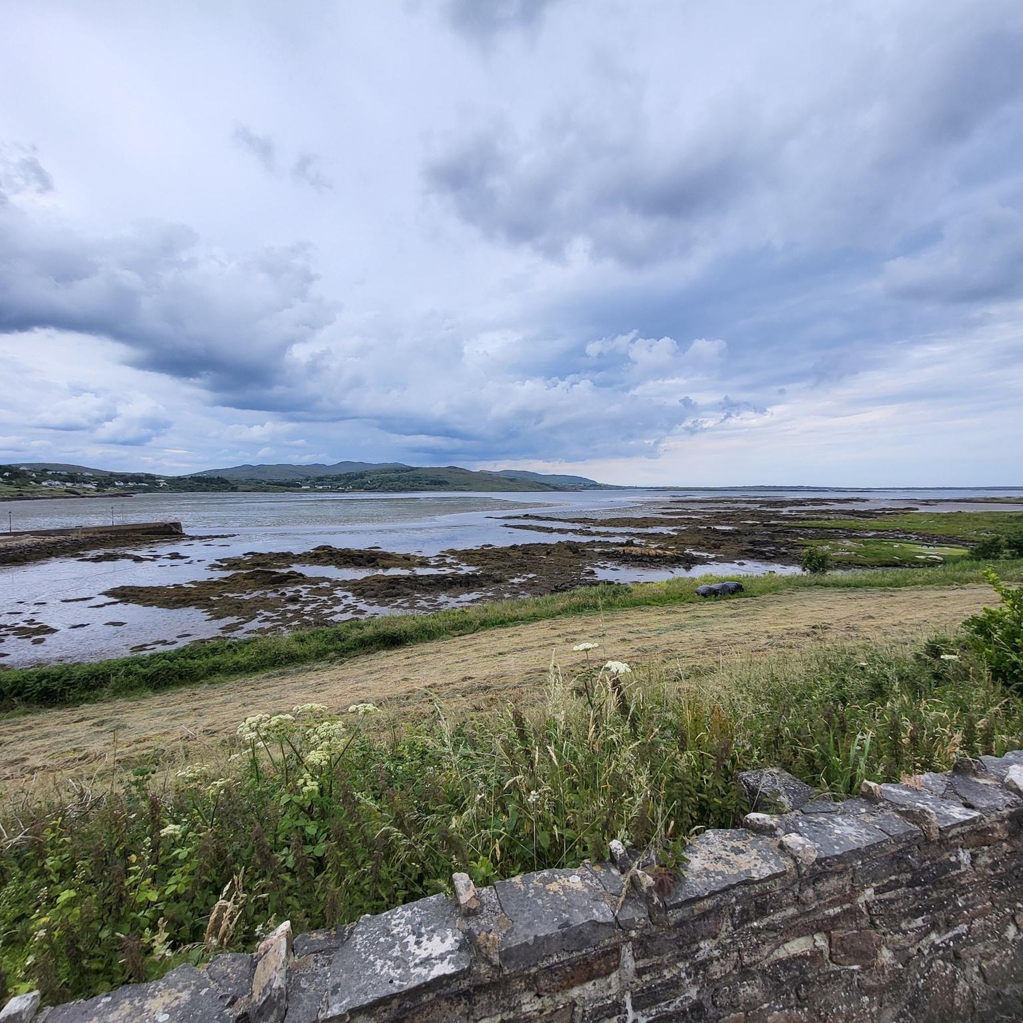
Road Cycling Routes around Lough Aleck More
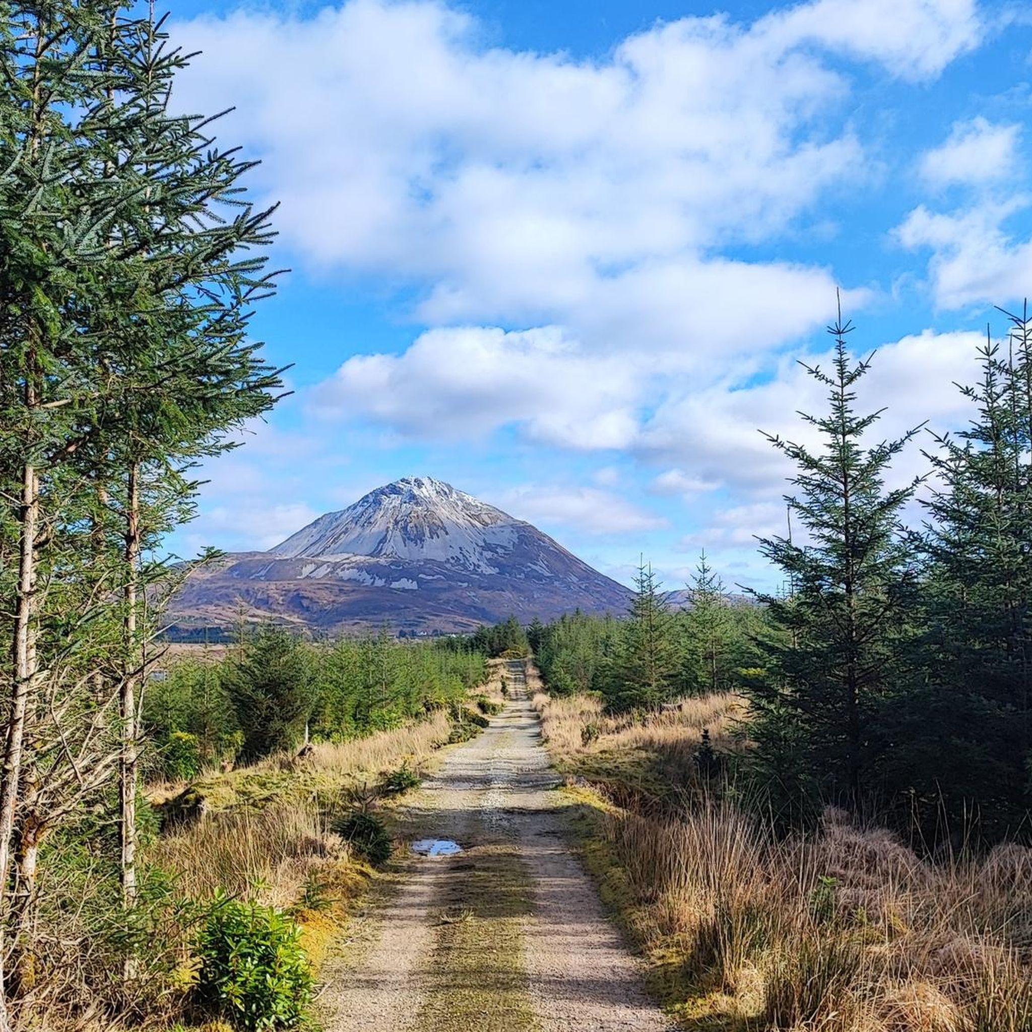
Road Cycling Routes around Lough Nacung
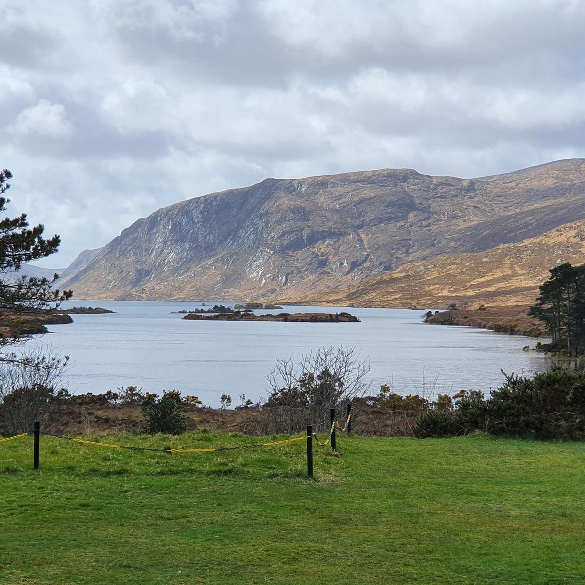
Road Cycling Routes around Glenveagh National Park
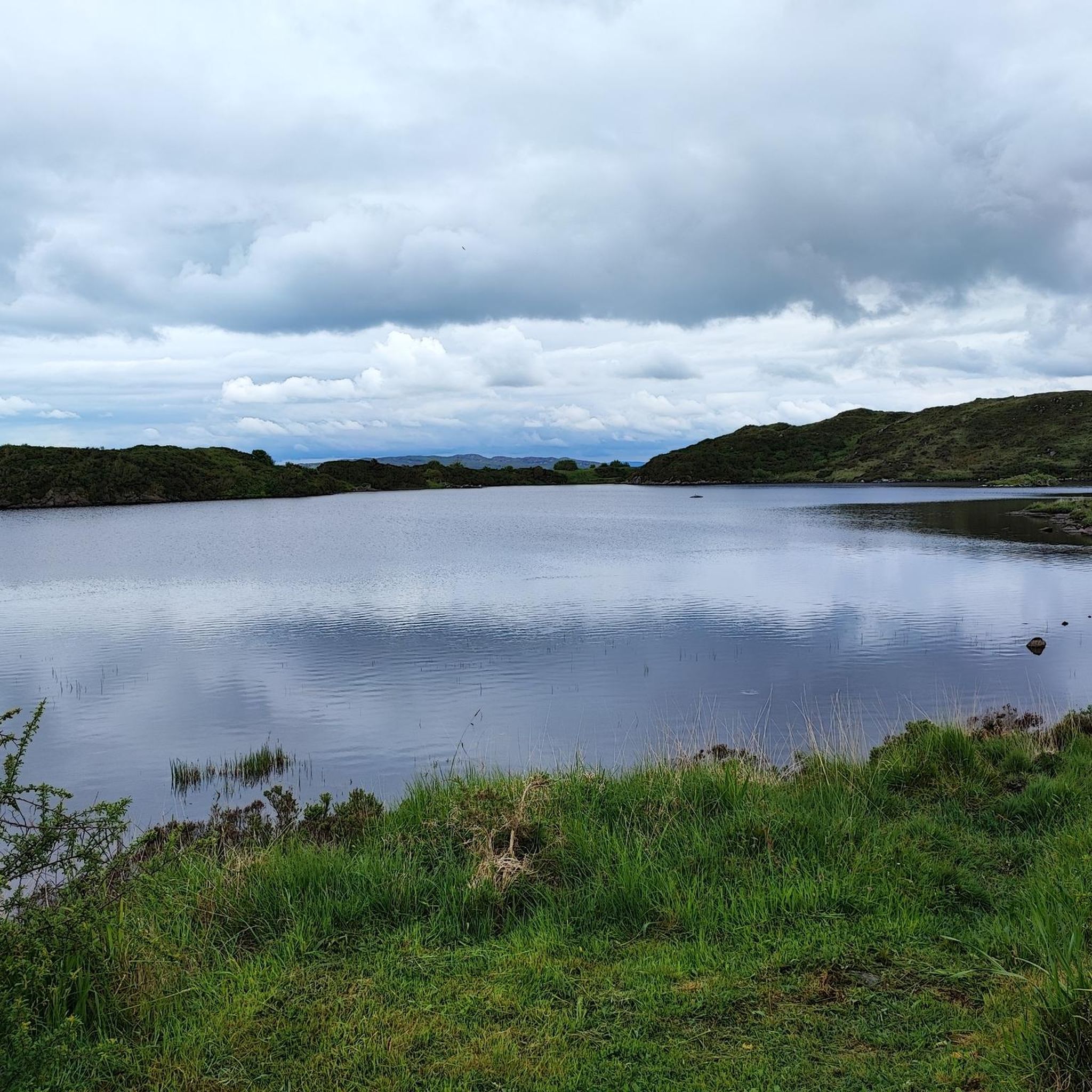
Road Cycling Routes around Doon Lough
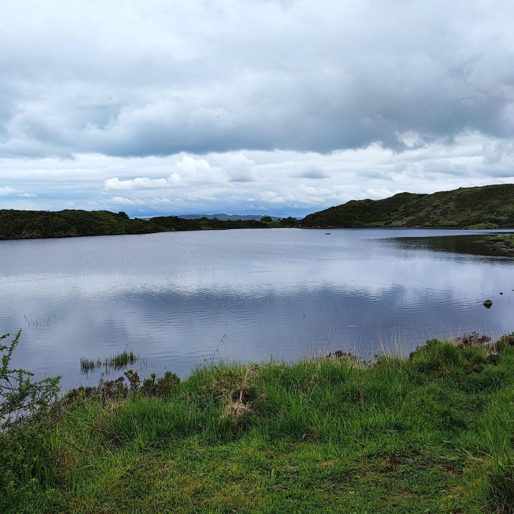
Road Cycling Routes around Kiltooris Lough
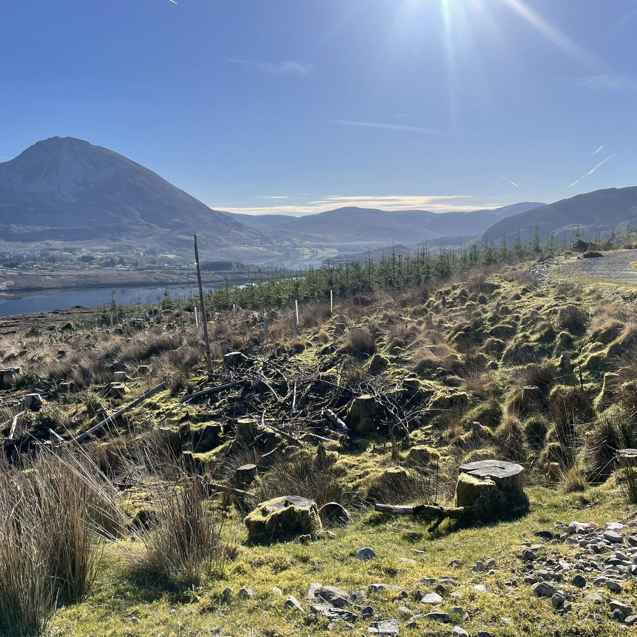
Road Cycling Routes around Lough Barra
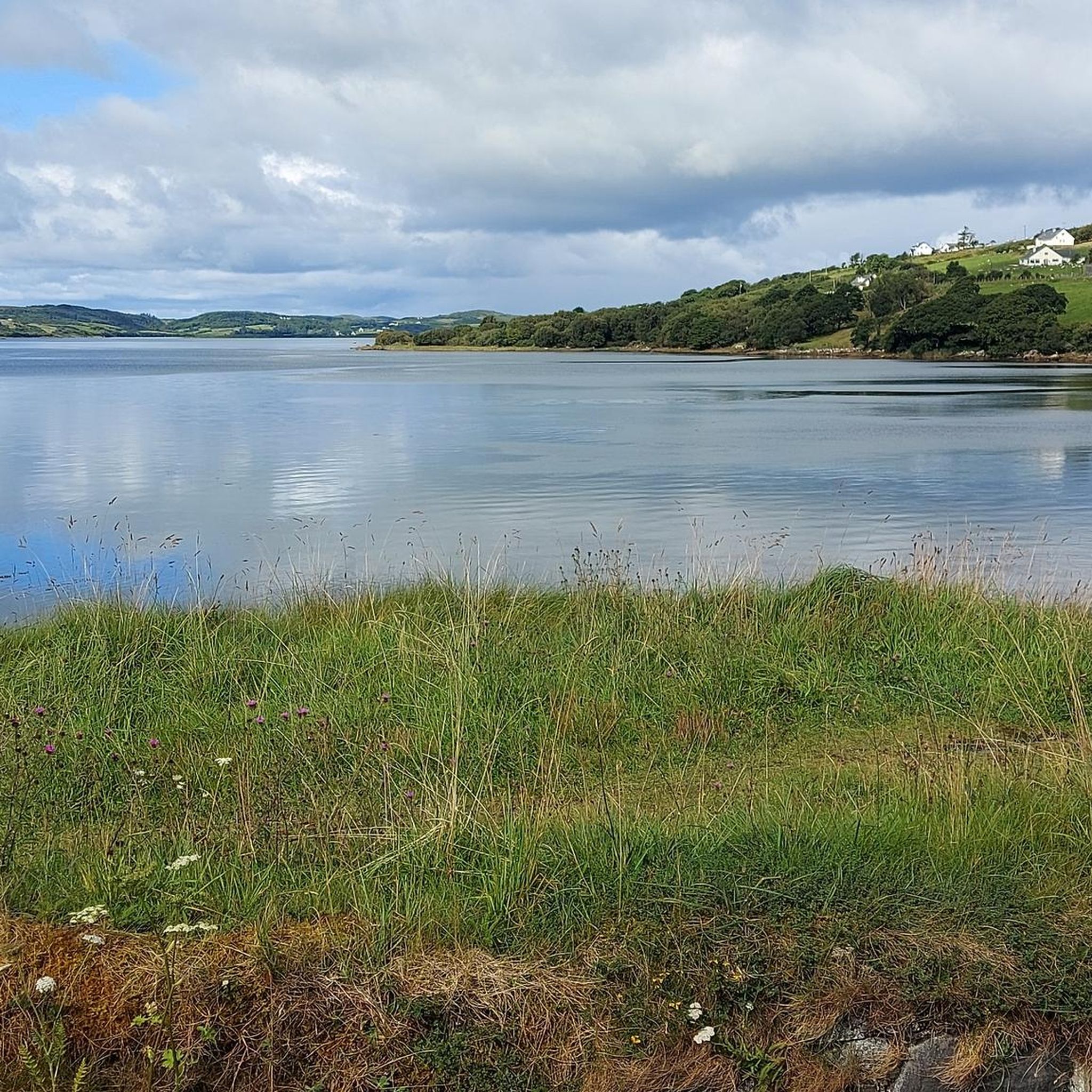
Road Cycling Routes around Lough Finn
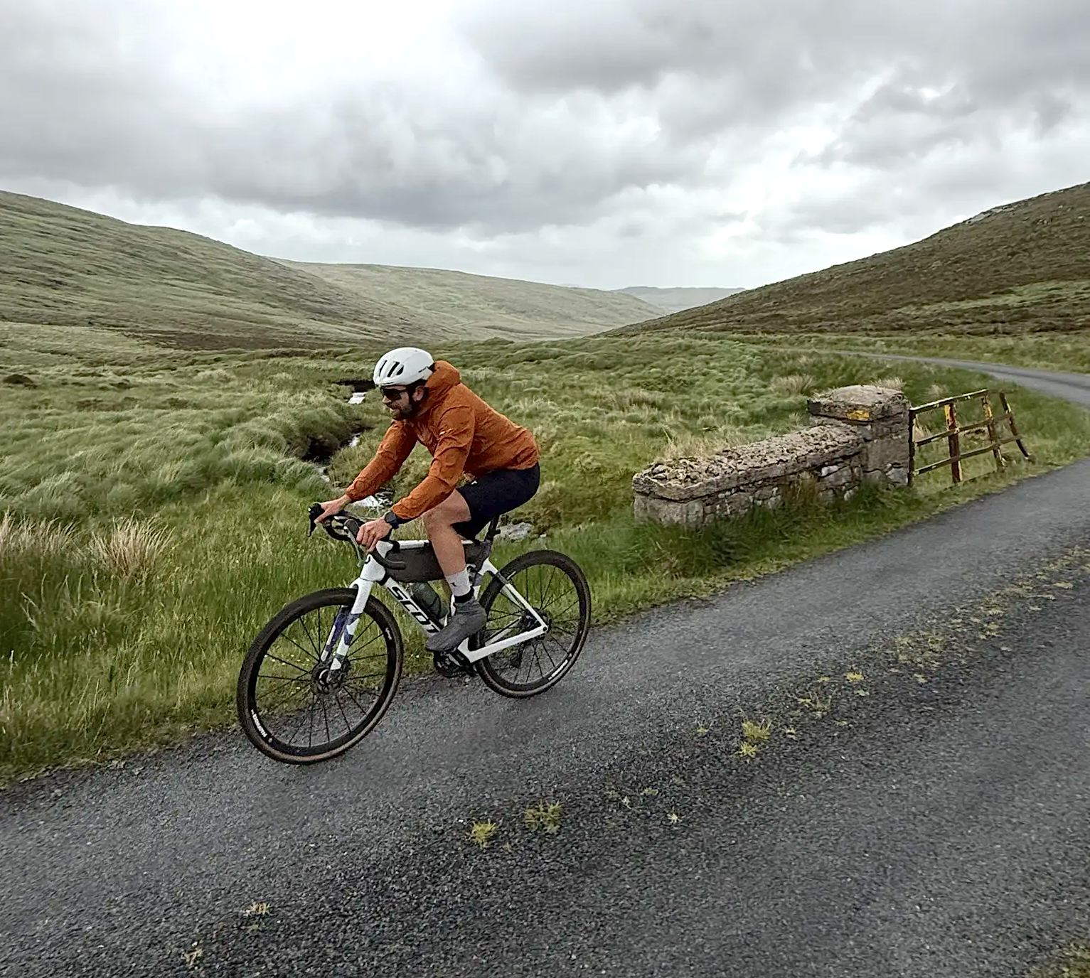
Cycling in County Donegal with Jonas Deichmann
Other adventures around Glenties Municipal District


Tips from the Community

Rossguill lies between Fanad to the east and Horn Head to the west, a narrow peninsula where heather, dunes, and ocean alternate. The coastline is open and slightly curved, with calm beaches and low ridges that constantly offer new views of Mulroy Bay and the Atlantic side. The roads run close to the water and through small, scattered settlements, making the landscape feel both vast and intimate. It is an area defined primarily by light, wind, and the open space of North Donegal.
6
0
From this high point, you look out over Tranarossan Bay, a quiet, semi-circular inlet on the north coast of Rosguill. The view combines clear turquoise water, light sandy beaches, and the rugged rock heads that are so typical of this part of the Wild Atlantic Way. In good light, you can see how the bay looks almost Caribbean, while the rugged hills behind preserve the pure Donegal character.
6
0
Rosguill Panorama: The Untamed North Coast. Photo tip: Use the depth of the coastline to give scale to your photo. The contrasts between the green heath, the dark rocks, and the changing light on the water make this a top location for landscape photography. From this elevated point, you look down on the rugged beauty of Dooey Beach, a vast stretch of golden sand constantly shaped by the powerful surf of the Atlantic Ocean. No tourist crowds, just wind, water, and the rhythm of the waves. The panorama is a 360-degree spectacle: the ocean stretches to the horizon, while the rugged coastline of the bay is framed by deep blue inlets and white foam crests. For cyclists on the Atlantic Drive, this is a challenging but rewarding segment — the narrow road follows the cliff edge, giving an intense sense of freedom.
6
0
This is the beating heart of Downings. The pier is not only a mooring place for the local fishing fleet, but also a fantastic viewpoint. From the quay, you have an unobstructed view of the glittering bay, with the contours of Ards Forest Park on the other side and, in the distance, the unmistakable ridge of Muckish Mountain. Photo tip: Aim your camera westwards over the water for a beautiful composition of boats, blue depths, and the distant Donegal mountains.
6
0
Wild Atlantic Way Discovery Point @Doe Castle View. The official Doe Castle Viewpoint across the Lackagh River. This is undoubtedly the best spot for an overview picture of the castle. From this elevated point on the other side of the Lackagh River, you have the ultimate view of the medieval fortress. While most people visit the castle up close, it is from here that you truly see how strategically and dramatically it is positioned on the headland in Sheephaven Bay.
1
0
Lackagh Bridge is an old stone arch bridge over the River Lackagh, at the point where the open moorland of West Donegal gives way to the valleys towards Gweedore. The bridge is situated in a quiet, green corridor between low ridges and peat fields, with clear running water making its way through rocky banks.
6
0
Mount Errigal (751 m) is the highest mountain in Donegal and one of Ireland's most iconic peaks. The mountain is immediately striking with its sharp, pyramid-shaped silhouette and its quartz summit that shines almost white in sunlight. Errigal stands apart from the surrounding hills, giving it a dominant presence from all directions — especially when driving inland from Dungloe, Doochary, or Dunlewey.
5
0

You get a stunning view of Drumnalifferny Mountain and the other peaks of the Poisened Glen from here. Especially beautiful at sunrise as your setting out on your walk.
0
0
Frequently Asked Questions
How many road cycling routes are available in Glenties Municipal District?
Glenties Municipal District offers a wide selection of road cycling routes, with over 110 routes available for exploration. These routes cater to various skill levels, including easy, moderate, and challenging options.
Are there easy road cycling routes suitable for beginners or families?
Yes, the region has over 20 easy road cycling routes perfect for beginners or families. For instance, The Rosses Loop is an easy 19.5-mile (31.5 km) route known for its scenic coastal views. Another great option is the Bloody Foreland Loop, an easy 19.4-mile (31.2 km) path featuring dramatic Atlantic scenery.
What are some challenging road cycling routes for experienced cyclists?
For experienced cyclists seeking a challenge, Glenties Municipal District offers over 15 difficult routes. Consider the Glenveagh, Gweedore and Crolly from Dungloe route, which spans over 90 km with significant elevation changes. Another demanding option is From Creeslough to Glenveagh and Falcarragh loop, covering over 100 km with substantial climbs.
Can I find circular road cycling routes in Glenties Municipal District?
Many of the road cycling routes in Glenties Municipal District are designed as loops, allowing you to start and finish in the same location. Examples include The Rosses Loop and Bloody Foreland Loop, both offering scenic circular journeys.
What kind of scenic views can I expect on road cycling routes here?
Road cycling in Glenties Municipal District offers incredibly diverse and scenic views. You can expect stunning coastal vistas, dramatic cliffs like Horn Head, serene lakes such as Lough Finn, and majestic mountain backdrops including the Blue Stack Mountains and Mount Errigal. Many routes also pass through dense forests like Ards Forest Park.
What are some notable natural attractions or landmarks along the routes?
The region is rich in natural beauty and historical sites. Cyclists can encounter the dramatic Mount Errigal, the picturesque Dunlewy Lough, and the expansive Ards Forest Park. Other points of interest include the Horn Head Cliffs and the historic Horn Head Signal Tower Ruins.
What is the best time of year for road cycling in Glenties Municipal District?
The Glenties Municipal District is enjoyable for road cycling throughout much of the year, but the warmer, drier months from late spring to early autumn (May to September) generally offer the most pleasant conditions. During these months, you'll experience longer daylight hours and milder temperatures, ideal for exploring the diverse landscapes.
What do other cyclists say about road cycling in Glenties Municipal District?
The road cycling routes in Glenties Municipal District are highly rated by the komoot community, with an average score of 4.1 stars from over 10 reviews. Cyclists often praise the region's diverse scenery, from stunning coastal paths to challenging mountain backdrops, and the variety of routes available for all ability levels.
Are there places to stop for refreshments or meals along the cycling routes?
Yes, the Glenties Municipal District has towns and villages along many routes where you can find amenities. The town of Glenties itself offers various facilities. While specific cafes and pubs vary by route, you'll generally find options for refreshments and meals in the larger settlements you pass through.
Are there any specific considerations for road cycling in autumn in this region?
Autumn cycling in Glenties Municipal District can be beautiful with changing foliage, but it's important to be prepared for cooler temperatures and potentially wetter weather. Roads might be damp, and visibility can be reduced, especially in the mornings or late afternoons. Layered clothing and good lights are recommended.
What should I wear for road cycling given the weather in Glenties?
Given the often changeable Irish weather, layering is key. Even on sunny days, conditions can shift quickly. We recommend moisture-wicking base layers, a cycling jersey, and a windproof/water-resistant jacket. Padded shorts are essential for comfort, and gloves can be useful for grip and warmth. Always check the local forecast before heading out.
Are there bike rental facilities available in the Glenties area?
Yes, the town of Glenties is known to provide amenities for cyclists, including bike rentals and secure bicycle storage. This makes it convenient for visitors who wish to explore the region's road cycling routes without bringing their own equipment.
Are there road cycling routes that pass by picturesque lakes?
Absolutely. The Glenties Municipal District is dotted with beautiful loughs. The Lough Fin and Lough Ea from Glenties route, for example, is a 56 km trail that leads through these picturesque lakes, offering serene views. Other notable lakes in the region include Lough Nacroaghy and Lough Anna.
Are there any routes that offer views of the dramatic coastline?
Many routes in the Glenties Municipal District showcase the stunning Atlantic coastline. The The Rosses Loop and Bloody Foreland Loop are excellent choices, providing dramatic coastal scenery and breathtaking views of the ocean and cliffs like Horn Head.
Most popular routes around Glenties Municipal District
Most popular attractions around Glenties Municipal District

Get inspired with the komoot mobile app


Didn’t find what you were looking for?
Check out more Road cycling routes throughout Glenties Municipal District below and find the perfect route in your destination.
Explore more
Browse the best Road cycling routes in other regions.
