The 5 Most Amazing Peaks around Rocchetta Di Vara
Mountain peaks around Rocchetta Di Vara are characterized by mountainous terrain, featuring wide ridges, mixed deciduous forests, and expansive grasslands within the Val di Vara. The region offers an extensive network of hiking trails that traverse valleys and ascend to various viewpoints. These trails occasionally provide glimpses of the Apuan Alps and the Gulf of La Spezia. The area is known for segments of the Alta Via dei Monti Liguri, offering diverse landscapes and hiking opportunities.
Best mountain peaks around…
Last updated: October 30, 2026
Monte Croce
Highlight • Summit
Translated by Google •
Tip by

Monte Albereto
Highlight • Summit
Translated by Google •
Tip by

Sign up now to discover places like this
Get recommendations on the best single tracks, peaks, & plenty of other exciting outdoor places.
Croce di Porcola (Monte Zuccoletto)
Highlight • Summit
Translated by Google •
Tip by

Trail 152: Quattro Strade – Monte Beverone
Highlight (Segment) • Trail
Translated by Google •
Tip by

Oratory of Santa Croce
Highlight • Religious Site
Translated by Google •
Tip by

Sign up for free to discover even more peaks around Rocchetta Di Vara.
Already have an account?
Start today with a free account
Your next adventure awaits.
Other adventures around Rocchetta Di Vara

Tips from the Community

The Oratory of Santa Croce is located on the mountain of the same name at 621 m above sea level, near the important natural ridge road, very popular in the year 1000, in particular by the Genoese in their expansion towards Eastern Liguria and for this reason also called Via dei Genovesi. The construction period and the first description of the Oratory of Santa Croce can be deduced from the text relating to the apostolic visit made by Mons. Peruzzi in 1584.
4
0

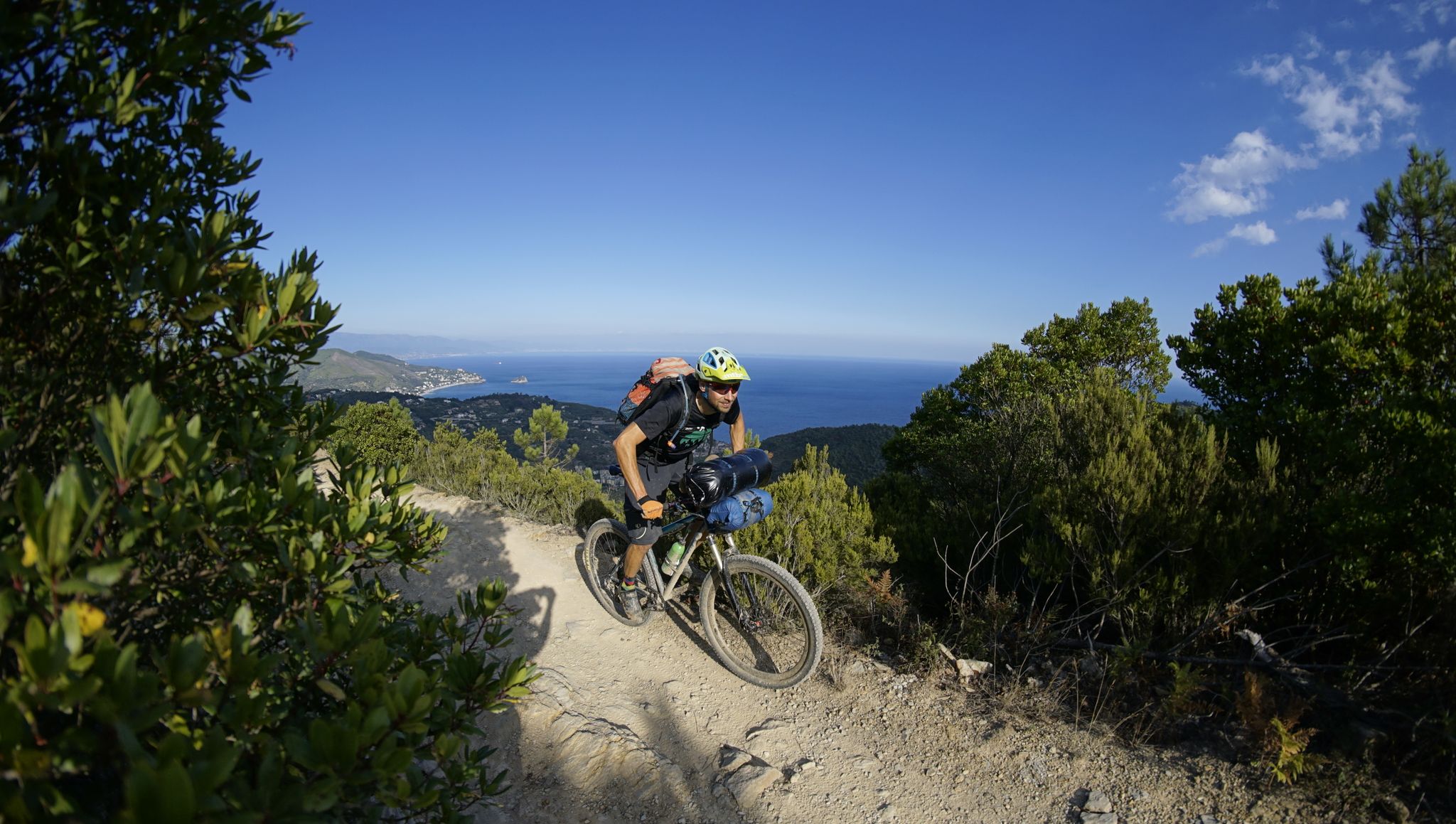
When you're pedaling uphill, stop and look!
0
0

Even from here you can see the entire Gulf of La Spezia
0
0

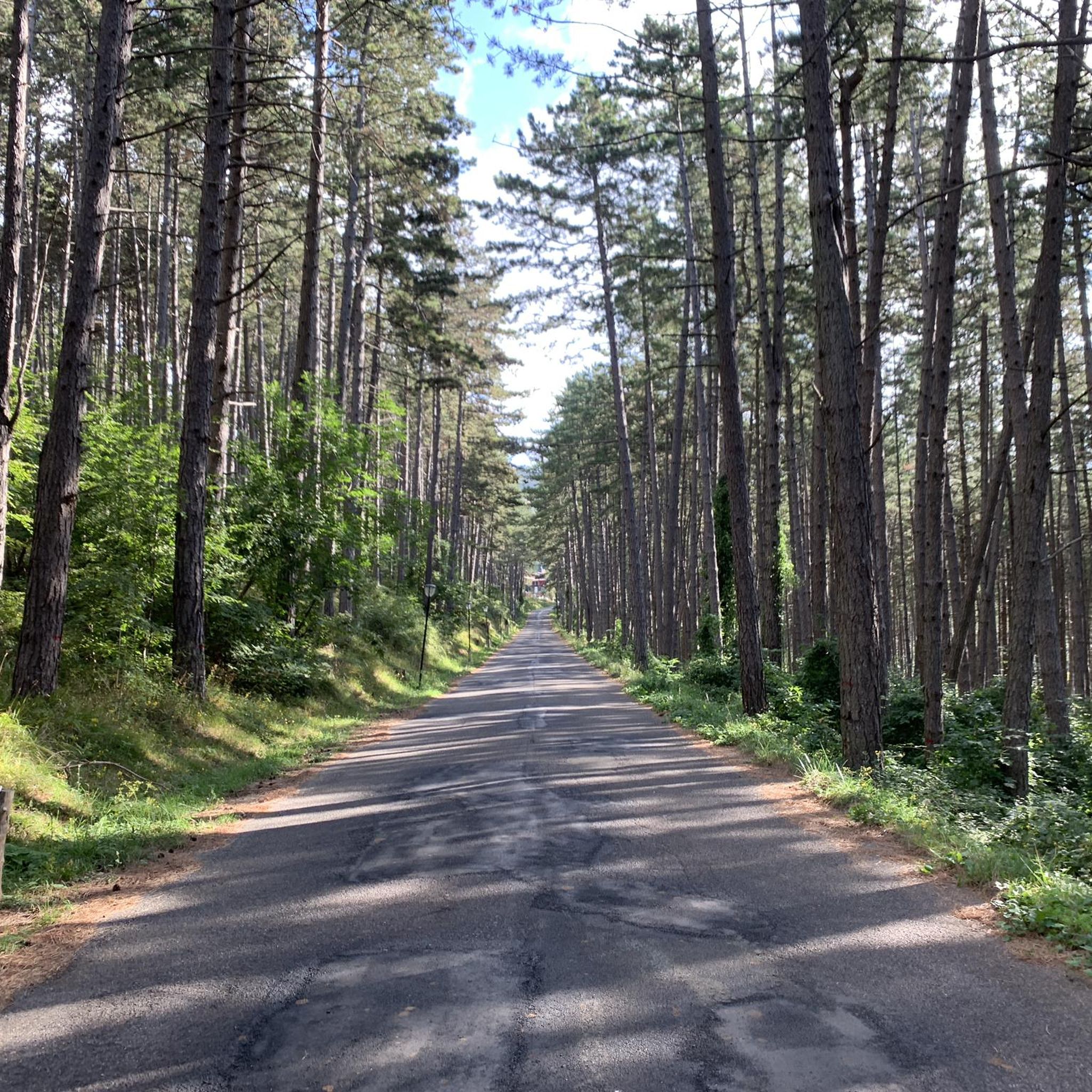
The path that leads to Monte Beverone is dirt and practicable without too many problems, it will lead you to a place with a wonderful view.
1
0

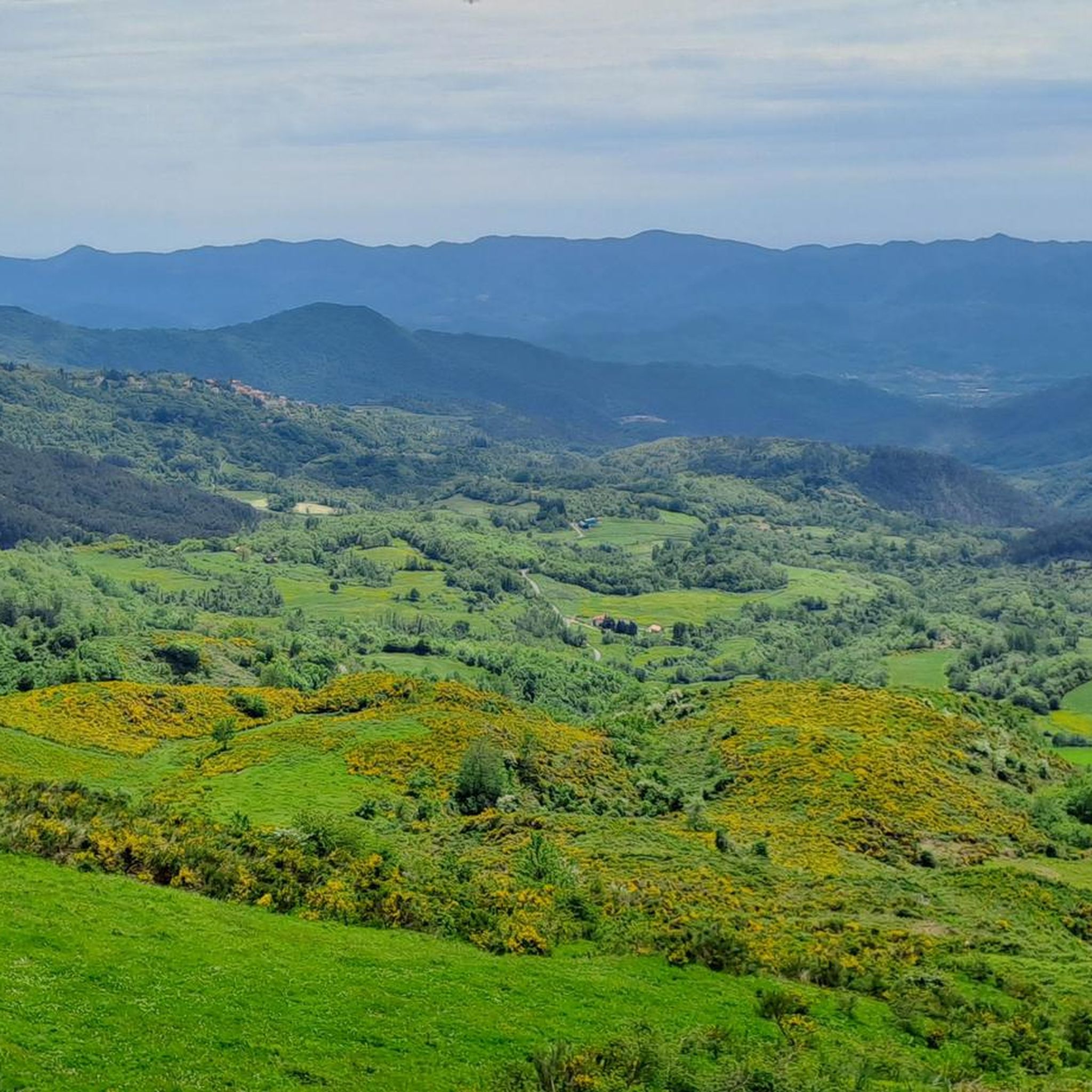
The 610 meter high Monte Croce offers a good view from Liguria to Tuscany. Next to the stone building, a cross marks the summit
0
0

nice trail descent from the summit (S2). A little overgrown, but easy to do. Don't miss the entrance at 840m (don't go down to the right!). Nice panorama at the summit
3
0

Cross of Porcola
1
0

Sterrato Beverone - Stadomelli
0
0
Frequently Asked Questions
What kind of terrain can I expect when exploring the mountain peaks around Rocchetta di Vara?
The region around Rocchetta di Vara is characterized by mountainous terrain with wide ridges, mixed deciduous forests, and expansive grasslands within the Val di Vara. You'll find an extensive network of hiking trails that traverse valleys and ascend to various viewpoints, offering diverse landscapes.
Which mountain peaks offer the best panoramic views in the Rocchetta di Vara area?
For breathtaking panoramic views, consider visiting Croce di Porcola (Monte Zuccoletto), which offers vistas including the entire Gulf of La Spezia. Another excellent spot is the Ridge of Beverone, particularly from the hamlet of Beverone at 700 meters altitude, where on clear days you can see Versilia, the Apuan Alps, the island of Capraia, and the Gulf of La Spezia. Monte Croce also provides good views stretching from Liguria to Tuscany.
Are there any historical or cultural sites located on the mountain peaks?
Yes, you can find the Oratory of Santa Croce, located on the mountain of the same name at 621 meters above sea level. This historical site is near an important natural ridge road, historically used by the Genoese, and offers a significant viewpoint.
What are some popular hiking trails near the mountain peaks of Rocchetta di Vara?
The region is renowned for segments of the Alta Via dei Monti Liguri. Popular sections include the challenging 19.1 km route from Passo del Rastrello to Passo dei Casoni, and a moderate 13.2 km path from Passo dei Casoni to Passo Alpicella. You can find more details on these and other routes on the Hiking around Rocchetta Di Vara guide.
Are there any challenging trails for experienced hikers?
Absolutely. The section of the Alta Via dei Monti Liguri from Passo del Rastrello to Passo dei Casoni is a difficult 19.1 km route, taking approximately 5 hours and 28 minutes to complete, offering a rewarding experience for experienced hikers. The trail descent from Croce di Porcola (Monte Zuccoletto) is also noted as an S2 difficulty trail.
Can I find trails suitable for families or those looking for a moderate hike?
Yes, there are options for moderate hikes. The section of the Alta Via dei Monti Liguri from Passo dei Casoni to Passo Alpicella is a moderate 13.2 km path with varied terrain and picturesque views. Additionally, Trail 152: Quattro Strade – Monte Beverone is a dirt path that is practicable without too many problems and leads to a wonderful viewpoint, making it a good moderate option.
What other outdoor activities can I do near the mountain peaks of Rocchetta di Vara?
Beyond hiking, the area offers excellent opportunities for cycling. You can explore various routes, including challenging road cycling tours like 'Vernazza and Monterosso from Pignone' or 'Ponte Vecchio di Pignone – Levanto Beach loop'. For more options, check out the Cycling around Rocchetta Di Vara and Road Cycling Routes around Rocchetta Di Vara guides.
What is the best time of year to visit the mountain peaks in Rocchetta di Vara?
The Val di Vara region, with its mixed deciduous forests and grasslands, is generally pleasant for hiking from spring through autumn. Spring offers lush greenery and wildflowers, while autumn provides beautiful foliage. Summer can be warm, but higher elevations and shaded forest trails offer respite. Always check local weather conditions before your visit.
Are there any specific natural features to look out for on the trails?
The trails often wind through mixed deciduous forests and expansive grasslands, characteristic of the Val di Vara. You'll encounter diverse flora and fauna typical of the Ligurian Apennines. Many routes also lead to scenic viewpoints that occasionally offer glimpses of the distant Apuan Alps.
What do visitors appreciate most about the mountain peaks around Rocchetta di Vara?
Visitors particularly enjoy the extensive network of hiking trails that cater to various difficulty levels, from moderate paths to challenging routes along the Alta Via dei Monti Liguri. The panoramic views from summits like Croce di Porcola (Monte Zuccoletto) and the Ridge of Beverone, encompassing the Gulf of La Spezia and the Apuan Alps, are also highly valued. The tranquil beauty of the Val di Vara's natural features, including its forests and grasslands, is a significant draw.
Is there a specific mountain that gives the region its name?
Yes, the Rocchetta Vara Mountain is the homonymous mountain situated above the village of Cassana, suggesting it is a significant local elevation within the area.
Most popular routes around Rocchetta Di Vara
Most popular attractions around Rocchetta Di Vara

Get inspired with the komoot mobile app


Explore more
See even more amazing summits around Rocchetta Di Vara with these guides:
