The best cycling routes around Rocchetta Di Vara
4.3
(43)
528
riders
30
rides
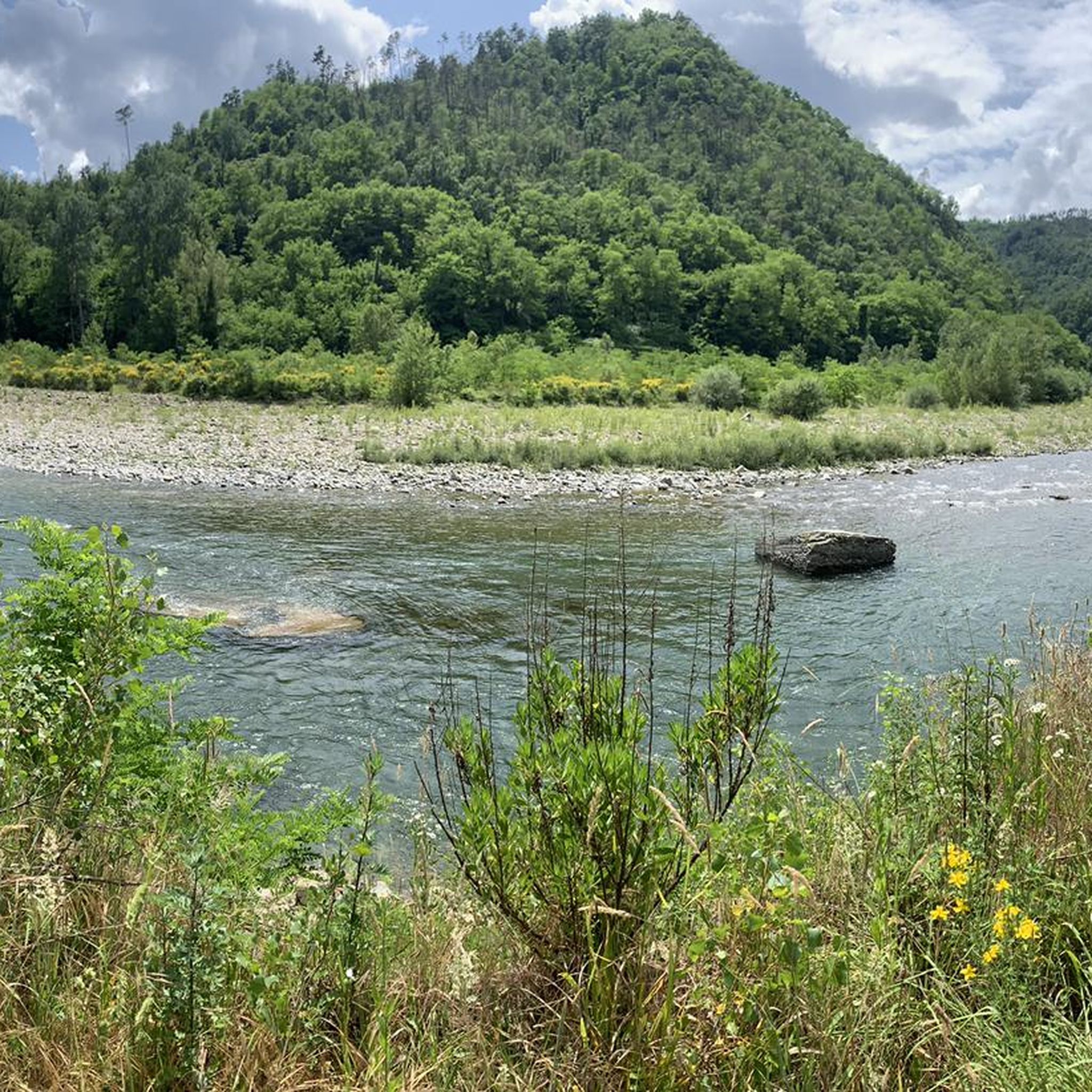
Touring cycling routes around Rocchetta Di Vara traverse a landscape characterized by mountainous terrain with wide ridges and deep valleys, offering varied topography. The region features mixed deciduous forests and extensive grasslands, providing scenic routes for cyclists. The Val di Vara River, Liguria's longest, flows through lush areas, adding to the natural beauty. This "organic valley" status ensures a well-preserved environment for active exploration.
Best touring cycling routes around Rocchetta Di Vara
- The most popular touring cycling route is Pignone…
Last updated: June 29, 2026
5.0
(2)
41
riders
52.8km
03:48
1,100m
1,100m
Hard bike ride. Very good fitness required. Mostly paved surfaces. Suitable for all skill levels.
1.0
(1)
11
riders
35.7km
02:24
570m
570m
Hard bike ride. Very good fitness required. Mostly paved surfaces. Suitable for all skill levels.

Sign up for free
4.3
(3)
11
riders
27.7km
02:02
630m
630m
Hard bike ride. Very good fitness required. Mostly paved surfaces. Suitable for all skill levels.
5.0
(1)
14
riders
44.4km
04:37
1,240m
1,240m
Hard bike ride. Very good fitness required. Mostly paved surfaces. Suitable for all skill levels.
5.0
(1)
10
riders
20.8km
01:34
500m
500m
Hard bike ride. Very good fitness required. Mostly paved surfaces. Suitable for all skill levels.
Get access to more routes and recommendations from other explorers.
Sign up for free
Already have an account?
Our route recommendations are based on thousands of hikes, rides, and runs completed by other people on komoot.
Start today with a free account
Your next adventure awaits.
Login or Signup

Other adventures around Rocchetta Di Vara

Tips from the Community

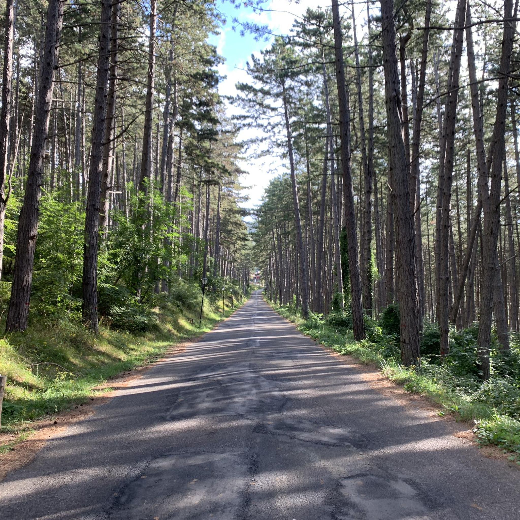
Road panorama out of season with little traffic
1
0

The name Calice al Cornoviglio combines two distinctive elements of the village: "Calice," of uncertain origin but perhaps derived from the Latin calix (cup), referring to the site's concave shape, and "Cornoviglio," the mountain (561 m) that overlooks the village and lends its name to the entire ridge. This toponym appears in medieval documents and recalls the village's ancient connection with the surrounding Apennine territory. Calice was long ruled by the Malaspina dello Spino Secco family, who built a strategic castle there, documented since the 11th century and modified several times over the centuries. Today, the fortress houses the Diocesan Museum of Sacred Art and the Chestnut Documentation Center, two testimonies to the profound intertwining of history, spirituality, and the territory's resources. A short distance away is the parish church of Santa Maria Lauretana, an elegant 18th-century Baroque building with exquisite decorations and a polychrome marble high altar. The village comes alive throughout the year with traditional events such as the Feast of Our Lady of Loreto (September), the Chestnut Festival (October) and various summer festivals, which highlight the historical and cultural roots of the place.
0
0
During the Second World War, the Pra Bon area, located in the mountainous territory of the Municipality of Zeri (Massa-Carrara), played a strategic role in the supply network organized by the Allies for the partisan formations active in the Ligurian-Tuscan-Emilian Apennines. The location, a high grassy expanse located near the Foce di Prabono, was used as a launch field for materials intended for the liberation struggle. Due to its isolated position, difficult to access by land but visible from the sky and large enough to receive airdrops, Pra Bon was ideal for this purpose. Allied aircraft — generally taking off from southern Italy or from bases in Corsica — carried out night airdrops of weapons, ammunition, food, medicines and radio equipment intended for the partisan detachments operating in the area. The materials were parachuted and collected on site by the partisan brigades, who then took care of their distribution and protection. The operations were not without risks. The area was subject to continuous roundups by Nazi-Fascist forces, aware of the logistical importance of those places. In particular, on August 3, 1944, near the nearby Monte Picchiara, a violent clash took place between partisan forces and German troops during one of these roundups. The toponym "Pra Bon" or "Pra Bono", which means "good meadow" in the local dialect, still evokes the memory of that period: from a place of transhumance and summer pasture, it was transformed for a few crucial months into a clandestine hub of the Resistance, a meeting point between the mountains of Lunigiana and the liberated skies.
0
0

Here the dirt road runs along the ridge of the mountains between the Vara Valley and the Magra Valley
0
0

Pignone. This village is really worth getting off the main road. Quiet and picturesque with narrow alleys and nice views
0
0
small picturesque village, really worth getting off the main road. very nice alleys with flowers and vistas
0
0

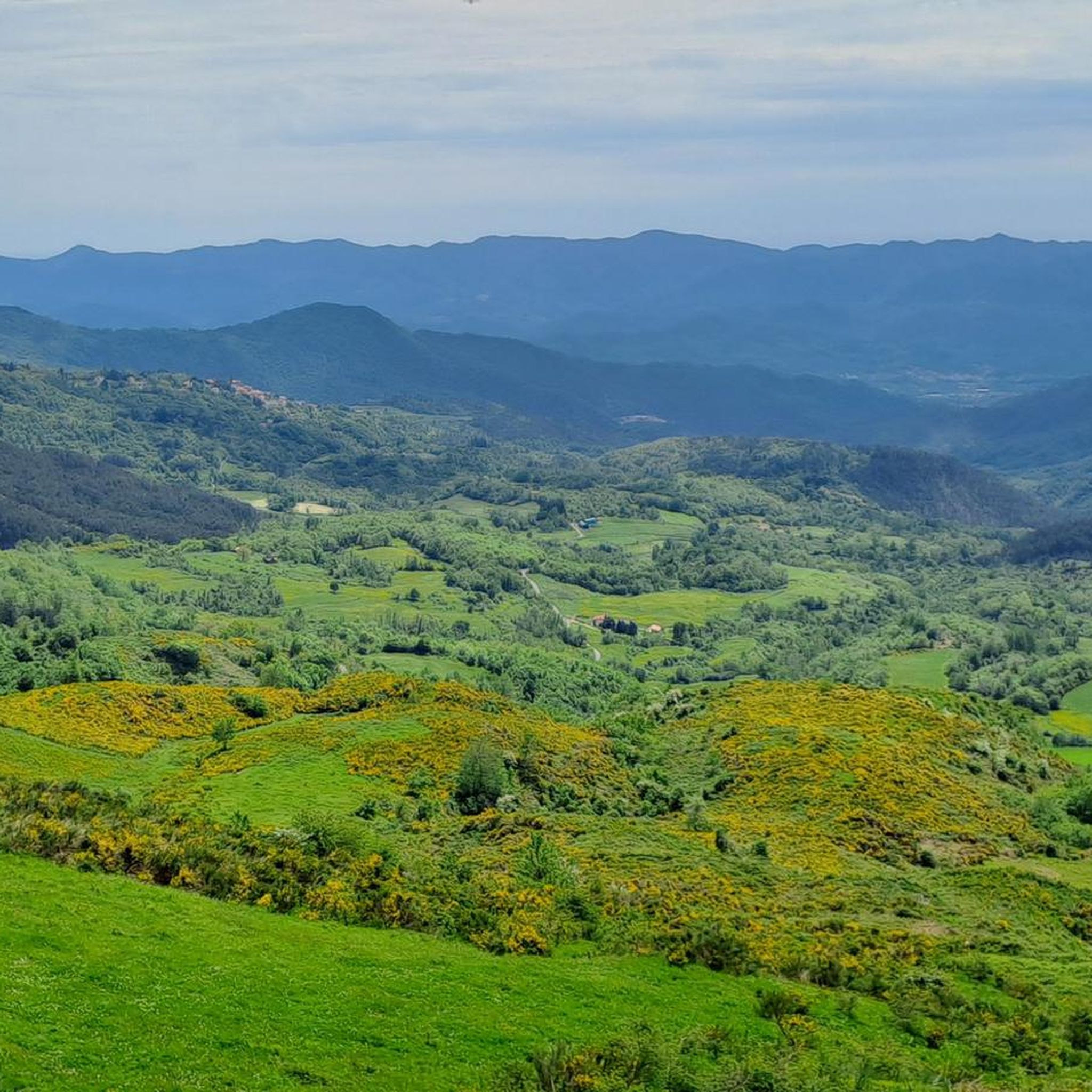
A beautiful section with a fantastic view.
1
0

From this point you can enjoy a splendid view of Levanto and the Gulf of Genoa.
0
1
Frequently Asked Questions
How many touring cycling routes are available around Rocchetta Di Vara?
There are over 30 touring cycling routes in the Rocchetta Di Vara area, offering a diverse range of experiences. These routes are primarily categorized as moderate to difficult, catering to cyclists looking for varied terrain and elevation.
What kind of terrain can I expect on touring cycling routes in Rocchetta Di Vara?
The terrain around Rocchetta Di Vara is characterized by mountainous landscapes with wide ridges and deep valleys. You'll encounter a mix of well-paved roads, dirt paths, and asphalt sections, winding through mixed deciduous forests and extensive grasslands. The varied elevation provides both challenging climbs and scenic descents.
Are there any circular touring cycling routes in the region?
Yes, many of the touring cycling routes in Rocchetta Di Vara are designed as loops, allowing you to start and finish in the same location. An example of a challenging circular route is the Mattarana Village – Bracco Pass loop from Brugnato, which covers approximately 40.9 km with significant elevation changes.
What are some natural attractions or viewpoints I can discover along the cycling routes?
The region offers several natural attractions and scenic viewpoints. You can cycle past the Val di Vara River, Liguria's longest, known for its crystal-clear waters. For stunning vistas, consider routes that pass by Monte Cornoviglio or Monte Albereto. The area's 'organic valley' status also ensures vast green pastures and a well-preserved natural environment.
Are there historical or cultural sites to visit while touring cycling?
Absolutely. The routes often pass through areas rich in history. You might encounter ancient mills, farmhouses, and deconsecrated churches. Notable historical sites include castles like the one in Suvero, and churches such as San Michele Arcangelo in Cassana or the Sanctuary of Our Lady of Soviore.
What is the best time of year for touring cycling in Rocchetta Di Vara?
The best seasons for touring cycling in Rocchetta Di Vara are typically spring and autumn. During these times, the weather is generally mild, and the natural landscapes are particularly vibrant with blooming flowers or rich autumn colors. Summer can be warm, especially in the valleys, while winter may bring cooler temperatures and potentially less predictable conditions at higher elevations.
Are there any easy or beginner-friendly touring cycling routes?
While the majority of routes in Rocchetta Di Vara are rated moderate to difficult due to the mountainous terrain and elevation changes, there are options that cater to varying fitness levels. For a challenging yet rewarding experience, consider routes like the Panoramic view of Monterosso – Pignone Village loop from Pignone, which offers stunning views.
What do other cyclists say about touring cycling in Rocchetta Di Vara?
The touring cycling routes around Rocchetta Di Vara are highly rated by the komoot community, with an average score of 4.6 stars from over 29 reviews. Cyclists often praise the diverse scenery, the well-preserved natural environment of the 'organic valley,' and the engaging challenge of the varied terrain.
Can I find places to eat or stay along the touring cycling routes?
Yes, the region has villages and towns where you can find cafes, pubs, and restaurants to refuel. For accommodation, there are cycling-friendly options available, ranging from agriturismos to small hotels, particularly in the Val di Vara area, which is known for its commitment to sustainable tourism.
Is it possible to combine touring cycling with other outdoor activities?
Absolutely. The Val di Vara River, with its crystal-clear waters, is popular for river sports. The extensive trail network also offers numerous hiking opportunities. Additionally, the region's proximity to the Cinque Terre allows for extended tours that combine the tranquil inland cycling with visits to the famous Ligurian coastline.
Are there specific parking areas for cyclists at the trailheads?
While dedicated cyclist-specific parking areas might not be explicitly signposted at every trailhead, you can typically find parking in the villages and towns that serve as starting points for many routes. It's advisable to check local parking regulations in places like Borghetto di Vara, Padivarma, or Calice al Cornoviglio before your ride.
Can I bring my dog on touring cycling routes in Rocchetta Di Vara?
Many outdoor areas in Italy are generally dog-friendly, especially on trails and in natural environments, provided dogs are kept under control, often on a leash. However, specific rules can vary. It's always best to check local signage or inquire with local tourism offices regarding regulations for dogs on specific trails or in protected natural areas.
Most popular routes around Rocchetta Di Vara
Most popular attractions around Rocchetta Di Vara

Get inspired with the komoot mobile app


Explore more
Browse the best Cycling routes in other regions.
