The 4 Most Amazing Peaks around Stadtschlaining
Best mountain peaks around Stadtschlaining are characterized by rolling hills and picturesque forests rather than dramatic alpine summits. Several elevated points offer notable features and rewarding experiences for visitors, particularly through hiking. Prominent elevated points include Großer Hirschenstein, Bremsberg, and Erzberg, all considered summits in the area. The region provides numerous hiking trails that offer varied terrain and scenic viewpoints across the Burgenland hills.
Best mountain peaks around Stadtschlaining
- The most popular mountain peaks is Geschriebenstein Observation Tower (Írottkő Lookout)…
Last updated: September 29, 2026
Geschriebenstein Observation Tower (Írottkő Lookout)
Highlight • Viewpoint
Translated by Google •
Tip by

Geschriebenstein Summit Cross
Highlight • Summit
Translated by Google •
Tip by

Sign up now to discover places like this
Get recommendations on the best single tracks, peaks, & plenty of other exciting outdoor places.
Großer Hirschenstein Summit Cross
Highlight • Summit
Translated by Google •
Tip by

Head Trail – Start at Geschriebenstein Summit
Highlight (Segment) • MTB Park
Translated by Google •
Tip by

Summit cross
Highlight • Summit
Translated by Google •
Tip by

Sign up for free to discover even more peaks around Stadtschlaining.
Already have an account?
Start today with a free account
Your next adventure awaits.
Popular around Stadtschlaining
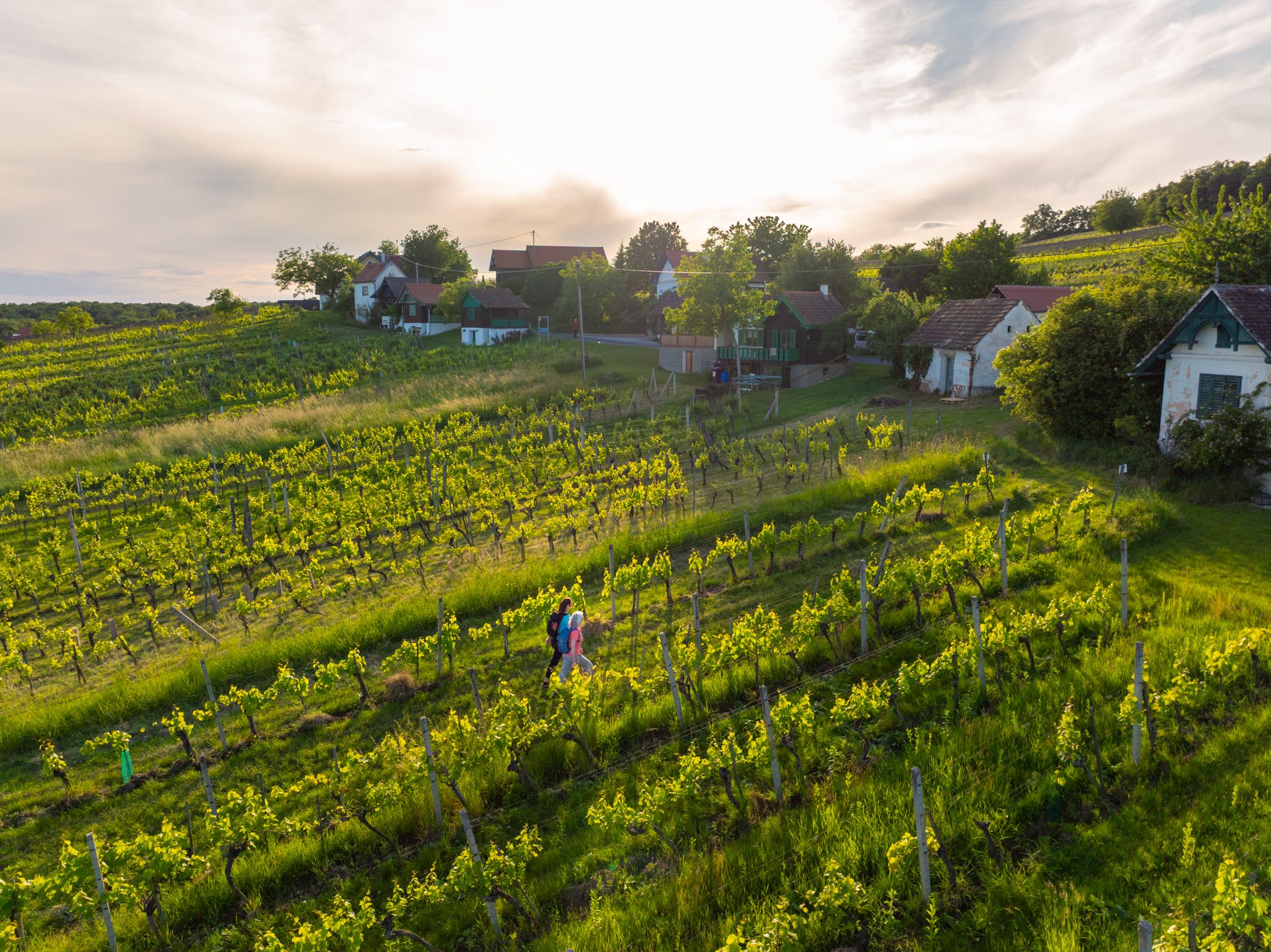
Wine, forests and vistas – pleasure trails through Südburgenland
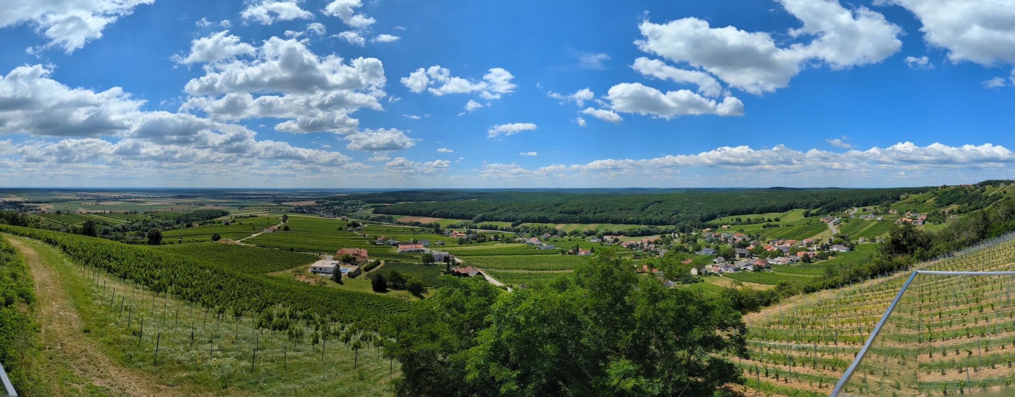
Jubiläumsradweg cycle path through Burgenland
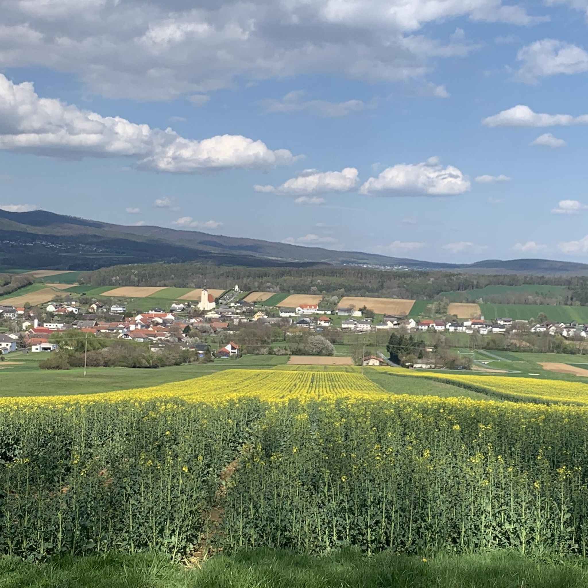
Hiking around Stadtschlaining
Running Trails around Stadtschlaining
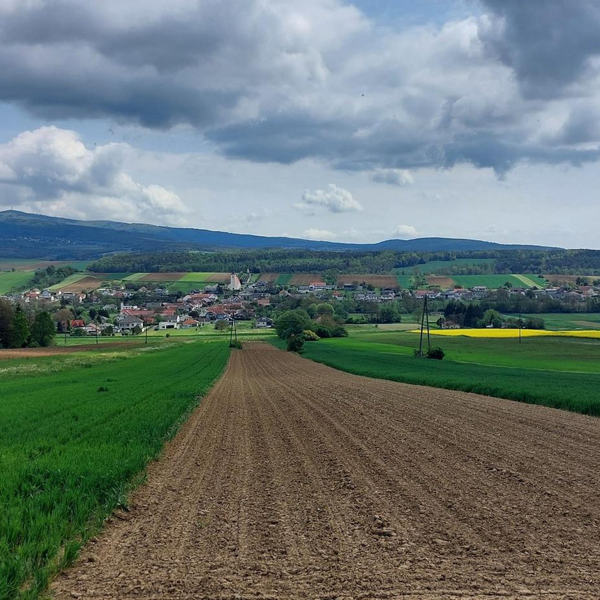
MTB Trails around Stadtschlaining
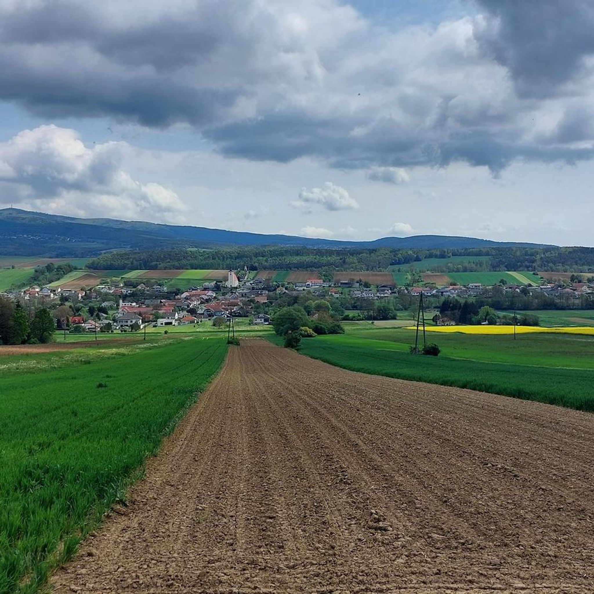
Cycling around Stadtschlaining
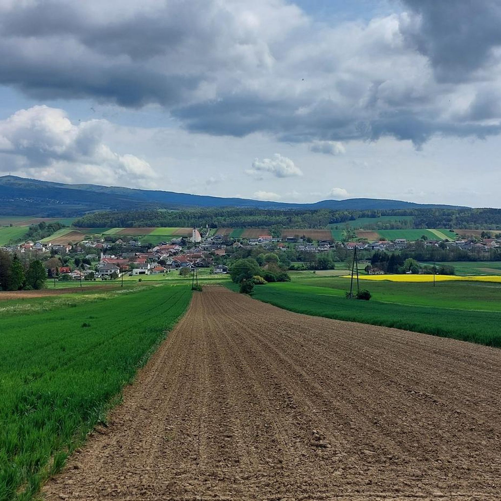
Road Cycling Routes around Stadtschlaining
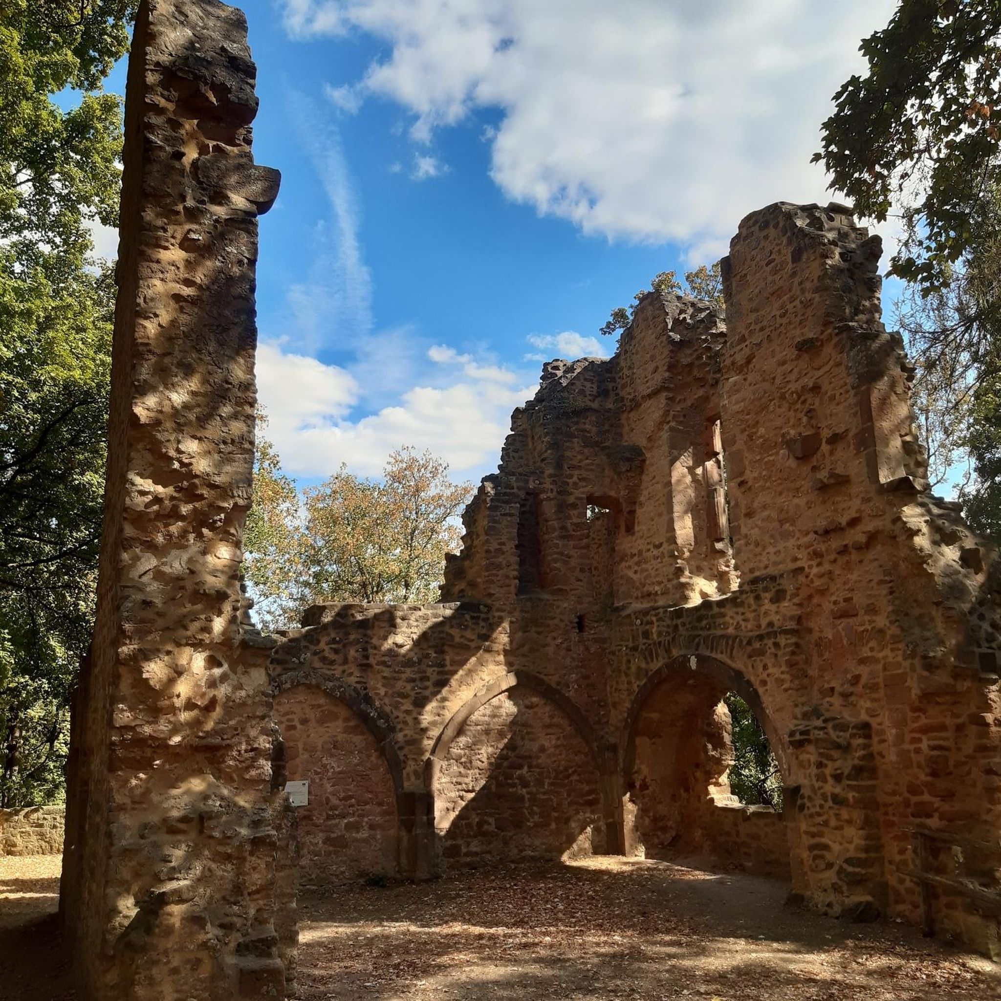
Gravel biking around Stadtschlaining


Tips from the Community

The modern summit cross stands a short distance from the highest point of the Geschriebenstein, where the popular viewing tower is enthroned instead. It is made of aluminum, firmly anchored to a rock, and can be reached relaxed during a leisurely hike through the nature park. Incidentally, the border between Austria and Hungary runs directly over this historic border point.
2
0
The Head Trail directly at the summit of the Geschriebenstein is a brilliant entry-level trail for the whole family and all mountain bike fans. While the upper section with some stones and roots is still a bit more technical, from the middle onwards you roll along absolutely relaxed and child-friendly. The route is perfectly suited for warming up on the highest mountain in Burgenland before venturing into more demanding downhill adventures.
1
0

The small sacred monument we encounter on the Geschriebenstein, in the form of a summit cross, is—besides the view it offers—perhaps also the perfect place for a brief moment of reflection. A few years ago, Christiane Völkel commented on the wonderfully fitting sentence by the Italian poet Francesco Petrarch (who lived in the 14th century), "Everywhere one has heaven above oneself," as follows: "What is the use of prayer? This question moves me (...) I have found for myself the answer and the certainty that when I pray I am with the Lord, or rather, that when I pray he is often noticeably closer to me than usual. Thus, I retain the possibility of pouring out my heart to him (...) This intimacy with him makes me believe in him."
2
0

Highest point in Burgenland
1
0

Easy to see on the uphill path.
2
0

New summit cross in "Burgenland style" on the Geschriebenstein.
1
0

The Head Trail starts here.
0
1

highest point of the Burgenland trails
1
0
Frequently Asked Questions
What are the most popular elevated points around Stadtschlaining?
The most popular elevated point is the Geschriebenstein Observation Tower (Írottkő Lookout), which is located on the highest mountain in Burgenland and offers extensive views across Austria and Hungary. Another highly regarded spot is the Großer Hirschenstein Summit Cross, a summit at 862 meters, known for being an easy climb and a relaxed rest spot.
Are there family-friendly elevated points or trails near Stadtschlaining?
Yes, several elevated points and trails are suitable for families. The path to the Geschriebenstein Observation Tower is an easy walk, requiring no special skills or equipment. The Großer Hirschenstein Summit Cross is also considered family-friendly with an easy climb. Additionally, the Geschriebenstein Pass summit offers facilities and is noted as family-friendly.
What kind of views can I expect from the elevated points in the Stadtschlaining region?
Many hiking routes around Stadtschlaining provide breathtaking panoramic views. From various vantage points, you can see across the southern Burgenland hills, extending to the Koralm and the Graz hills. The Geschriebenstein Observation Tower specifically offers extensive views across both Austria and Hungary.
What historical sites are located at elevated points in the area?
While not a natural peak, Schlaining Castle is situated at an elevation of 378 meters and is a significant historical landmark. It forms the core of the medieval town and is a focal point for several hiking routes, such as the 'Castle view loop' and the 'Peace Path'. The castle now houses the Austrian Study Centre for Peace and Conflict Resolution and the European Peace Museum.
What are the main hiking opportunities near Stadtschlaining's elevated points?
Stadtschlaining is a starting point for various hiking trails. You can explore routes like the 'Castle view loop' or the 'Peace Path' which offer different perspectives of Schlaining Castle and the surrounding landscape. The region also features the demanding 'alpannonia® Hard' route and the S21 Friedensrundweg (Peace Circular Route), which provides views towards Hochwechsel from higher spots. For more options, you can explore the Hiking around Stadtschlaining guide.
Are there any unique landmarks or features at the summits?
Yes, the Geschriebenstein Summit Cross is a notable landmark, an aluminum cross anchored on a rock, located just before the famous observation tower. At the Großer Hirschenstein Summit Cross, you'll find a relaxed rest spot, though there's also a transmission mast nearby. The Geschriebenstein Observation Tower itself is a prominent feature, offering extensive views.
What other outdoor activities can I do near the elevated points of Stadtschlaining?
Beyond hiking, the region around Stadtschlaining offers opportunities for road cycling and running. You can find various routes catering to these sports, such as those listed in the Road Cycling Routes around Stadtschlaining guide and the Running Trails around Stadtschlaining guide. The area's hilly countryside is well-suited for soft tourism and recreation.
What is the terrain like on the elevated points around Stadtschlaining?
The terrain around Stadtschlaining is characterized by rolling hills and picturesque forests. While it doesn't feature dramatic alpine summits, the elevated points offer varied terrain suitable for hiking. Paths are generally easy to walk, and many climbs are considered easy, requiring no special skills or equipment.
What is the highest point in the Stadtschlaining area?
The highest point in the immediate vicinity of Stadtschlaining, and in Burgenland, is where the Geschriebenstein Observation Tower (Írottkő Lookout) is located. Another significant summit is Großer Hirschenstein, reaching 862 meters.
Are there any rest stops or facilities available at the elevated points?
Yes, at the Großer Hirschenstein Summit Cross, you can find a relaxed rest spot. The Geschriebenstein Pass summit also features a rest area, a small chapel, a bus stop, and the 'Ranch' inn for a break.
What do visitors enjoy most about the elevated points around Stadtschlaining?
Visitors particularly enjoy the extensive views from locations like the Geschriebenstein Observation Tower, which offers vistas across Austria and Hungary. The ease of access to many summits, such as the Großer Hirschenstein Summit Cross, makes them appealing for relaxed hikes and collecting summit crosses. The overall serene atmosphere of the rolling hills and picturesque forests is also highly appreciated.
Most popular routes around Stadtschlaining
Most popular attractions around Stadtschlaining

Get inspired with the komoot mobile app


Explore more
See even more amazing summits around Stadtschlaining with these guides:
