The best running trails around Stadtschlaining
4.6
(82)
1,103
runners
108
runs
Jogging around Stadtschlaining offers varied terrain through a picturesque hilly countryside in Southern Burgenland, Austria. The region is characterized by dense forests, providing shaded paths ideal for running, and features designated running arenas with diverse elevation profiles. Historical landmarks, such as Friedensburg Schlaining, are often integrated into routes, blending natural beauty with cultural exploration.
Best jogging routes around Stadtschlaining
- The most popular jogging route is Reiters Golf Course Straight – Café Simon loop from Bad Tatzmannsdorf, a 6.8 miles (11.0 km) trail that takes 1 hour 10 minutes to complete. This moderate route offers a scenic loop starting from Bad Tatzmannsdorf.
- Another top favourite among local runners is Schlaining Castle – Part of the city wall loop from Stadtschlaining, a moderate 8.6 miles (13.9 km) path. This route provides views of the historic castle and sections of the old city wall.
- Local runners also love the Forest Pond loop from Bad Tatzmannsdorf, a 3.7 miles (5.9 km) trail leading through forested areas and past a tranquil pond, often completed in about 39 minutes.
- Jogging around Stadtschlaining is defined by hilly countryside, dense forests, and historical landmarks like Schlaining Castle. The network offers options for various ability levels, from moderate paths to more challenging routes with elevation gain.
- The routes in Stadtschlaining are highly rated by the komoot community with an average score of 4.7 stars from more than 60 reviews. More than 1000 runners have used komoot to explore Stadtschlaining's varied terrain.
Last updated: September 29, 2026
4.3
(6)
56
runners
10.1km
01:05
120m
120m
Moderate run. Good fitness required. Mostly paved surfaces. Suitable for all skill levels.
5.0
(2)
31
runners
6.44km
00:42
90m
90m
Moderate run. Good fitness required. Mostly paved surfaces. Suitable for all skill levels.

4.0
(2)
24
runners
6.16km
00:39
70m
70m
Moderate run. Good fitness required. Mostly paved surfaces. Suitable for all skill levels.
4.5
(2)
17
runners
5.93km
00:39
80m
80m
Moderate run. Good fitness required. Mostly paved surfaces. Suitable for all skill levels.
5.0
(1)
13
runners
12.8km
01:25
240m
240m
Moderate run. Good fitness required. Mostly paved surfaces. Suitable for all skill levels.
Get access to more routes and recommendations from other explorers.
Already have an account?
Our route recommendations are based on thousands of hikes, rides, and runs completed by other people on komoot.
Start today with a free account
Your next adventure awaits.
Popular around Stadtschlaining
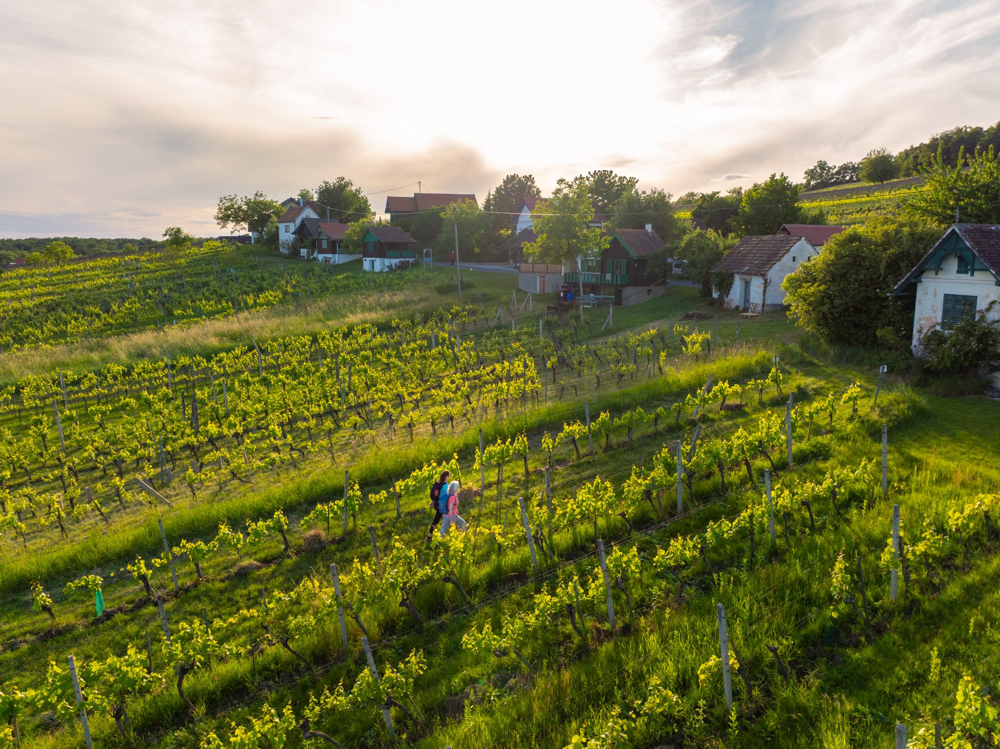
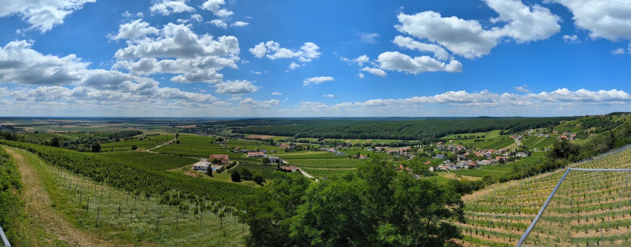
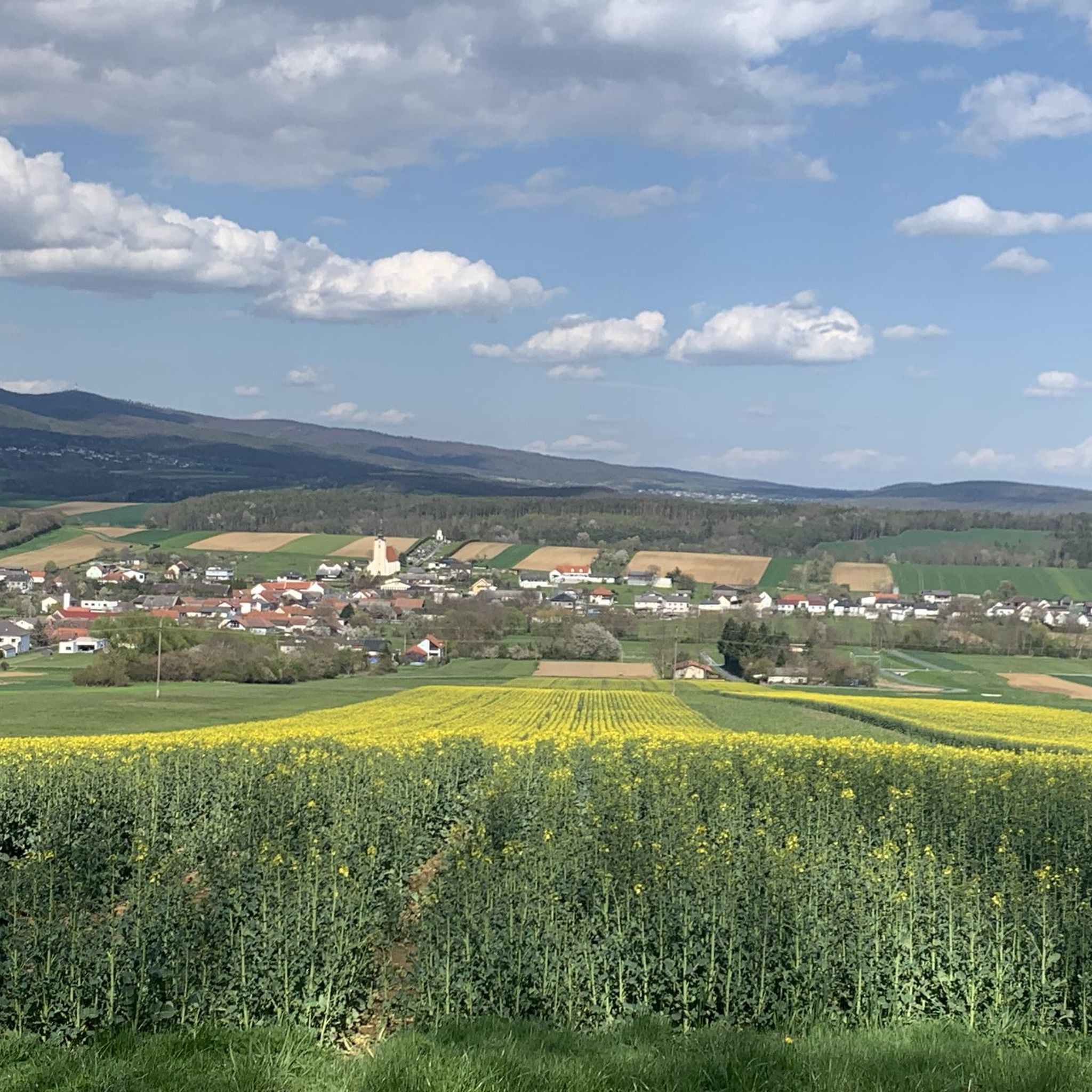
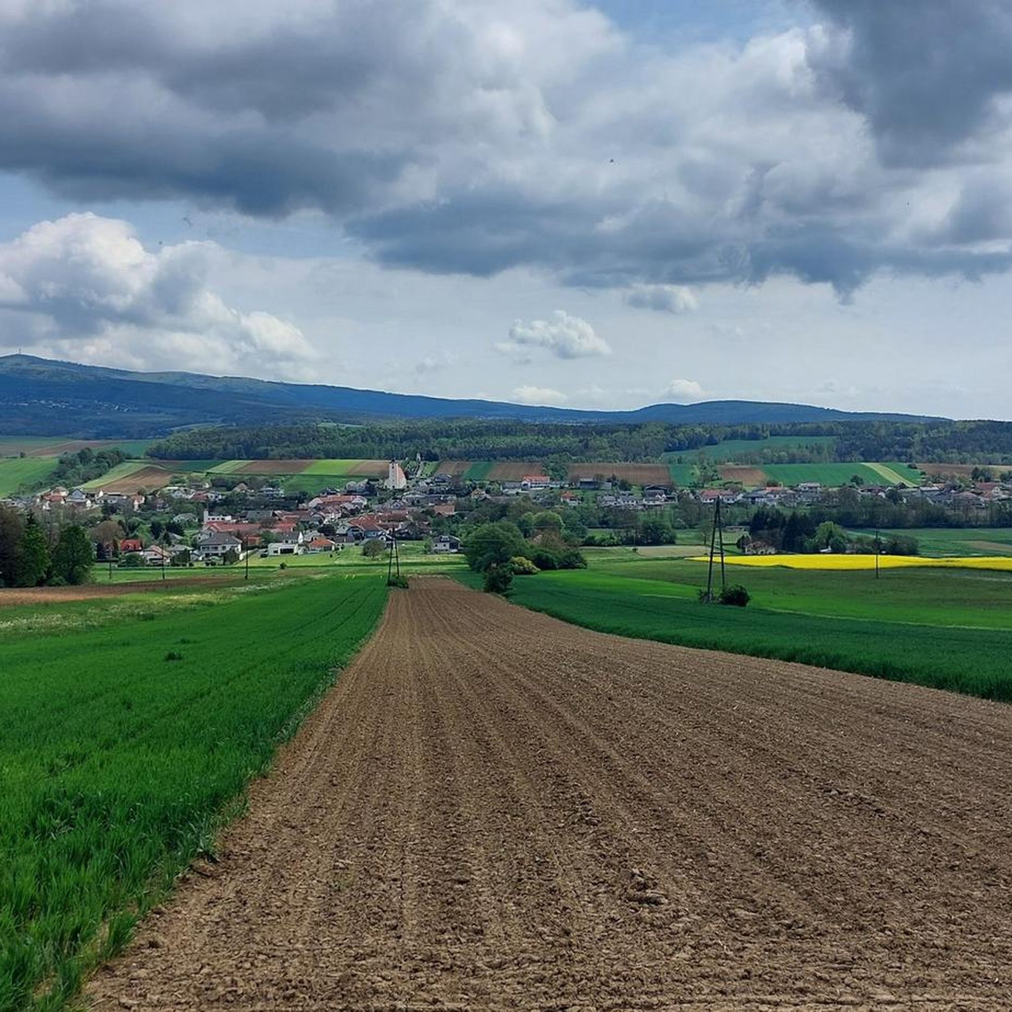


Tips from the Community

What we could discover during our walk past the museum pleased us. We will surely explore more details :)
0
0
I hiked past here and absolutely had to stop in. I couldn't just walk past the sign "The best coffee in Burgenland". It had to be tested. And lo and behold, it tasted good. And of course, I wanted to know more. The owner of the hotel actually roasts the beans himself. And you can taste it. But... just try it yourself :)
0
0

nice place for a rest
0
0


Beautiful festivals in the summer, idyllic location.
0
0

happened to pass by today at "Die Edlseer"
0
0
Frequently Asked Questions
How many running routes are available in Stadtschlaining?
Stadtschlaining offers a wide selection of over 110 running routes. These range from easy paths to more challenging trails with significant elevation gain, catering to various fitness levels.
What kind of terrain can I expect on jogging routes around Stadtschlaining?
You can expect a varied and engaging terrain. The region is characterized by a picturesque hilly countryside and dense forests, providing many shaded paths. Some routes feature significant inclines, while others, like sections of the Bahntrassen Cycle Path, offer flatter surfaces.
Are there any circular running routes in Stadtschlaining?
Yes, many of the running routes in Stadtschlaining are circular. The region features a 'Running and Walking Arena' concept with designated circular routes like the L30 Kohlleiten running trail and the L31 Arzberglaufweg, offering diverse distances and elevation profiles. An example is the Reiters Golf Course Straight – Café Simon loop from Bad Tatzmannsdorf.
Can I find routes with historical landmarks or scenic views?
Absolutely. Stadtschlaining's routes often integrate historical landmarks and offer magnificent views. You can jog past the majestic Friedensburg Schlaining, explore parts of the old city wall, or enjoy panoramic vistas extending to the Hochwechsel and into neighboring Hungary from higher vantage points. The Schlaining Castle – Part of the city wall loop from Stadtschlaining is a great option for this.
What do other runners say about the trails in Stadtschlaining?
The running routes in Stadtschlaining are highly regarded by the komoot community, with an average score of 4.7 stars from over 60 reviews. Runners frequently praise the varied terrain, the beauty of the dense forests, and the integration of historical sights like Schlaining Castle into the routes.
Are there family-friendly jogging routes in Stadtschlaining?
While many routes have some elevation, there are options suitable for families. The region's diverse network includes paths with varying difficulty levels. For a pleasant experience, consider routes that pass through meadows and forests, offering a serene environment. Always check the route details for specific elevation and distance to ensure it matches your family's capabilities.
Are dogs allowed on the running trails in Stadtschlaining?
Generally, dogs are welcome on the running trails in Stadtschlaining. However, as the area is part of the NATURA 2000 nature reserve, it's important to keep dogs on a leash to protect local wildlife and ensure a pleasant experience for all trail users. Always carry water for your dog, especially on longer runs.
What are the options for parking near running trails in Stadtschlaining?
Parking is typically available at various starting points for running routes, especially near popular areas or designated 'Running and Walking Arenas'. For routes starting in or near the town center, you can often find public parking facilities. It's advisable to check specific route descriptions for detailed parking information.
Is public transport available to access jogging routes?
Yes, public transport can provide access to some running routes. Stadtschlaining is connected by local bus services, and some routes, like the 'Peace Path' (W11), connect to nearby towns such as Bad Tatzmannsdorf, which may have better public transport links. Checking local bus schedules is recommended for planning your access.
Are there any longer running routes for experienced runners?
For experienced runners seeking a challenge, Stadtschlaining offers several longer routes with significant elevation gain. The region is also traversed by the 125-kilometer Alpannonia trail, providing extensive options for longer runs through diverse landscapes. The Viewing Platform loop from Bad Tatzmannsdorf is a moderate 12.7 km route with over 240m of elevation gain.
What is the best time of year to go jogging in Stadtschlaining?
Stadtschlaining offers great jogging opportunities throughout the year. Spring and autumn provide pleasant temperatures and beautiful scenery. In summer, the dense forests offer welcome shade on warmer days. Even in winter, with appropriate gear, the trails can be enjoyed, though conditions might vary with snow or ice.
Are there any easier or beginner-friendly running options?
Yes, Stadtschlaining has options for beginners or those looking for an easier run. While the region is generally hilly, there are routes with less elevation gain. For example, the Forest Pond loop from Bad Tatzmannsdorf is a moderate 5.9 km trail with manageable elevation, leading through tranquil forested areas.
Most popular routes around Stadtschlaining
Most popular attractions around Stadtschlaining

Get inspired with the komoot mobile app


Explore more
Browse the best Running Trails & Routes in other regions.
