The 7 Most Amazing Peaks around Niederthalheim
Mountain peaks near Niederthalheim offer accessible elevated points for local hikes and serve as a gateway to the more mountainous Salzkammergut region. Situated at an elevation of 431 meters, Niederthalheim provides a starting point for exploring nearby natural features. The area features various summits and viewpoints suitable for outdoor activities.
Best mountain peaks around Niederthalheim
- The most popular mountain peaks is Lederer Kopf Summit, a summit that offers a viewpoint with a summit book. This location provides a beautiful,…
Last updated: May 13, 2026
Lederer Kopf Summit
Highlight • Summit
Translated by Google •
Tip by

Krailberg Summit Cross (504 m)
Highlight • Summit
Translated by Google •
Tip by

Sign up now to discover places like this
Get recommendations on the best single tracks, peaks, & plenty of other exciting outdoor places.
Sign up for free
Hausruck Ridge High Point
Highlight • Summit
Translated by Google •
Tip by

Cross on the Marien hiking trail at Schlossberg (Granazweg)
Highlight • Monument
Translated by Google •
Tip by

Turmberg Summit Cross
Highlight • Summit
Translated by Google •
Tip by

Sign up for free to discover even more peaks around Niederthalheim.
Sign up for free
Already have an account?
Start today with a free account
Your next adventure awaits.
Login or Signup
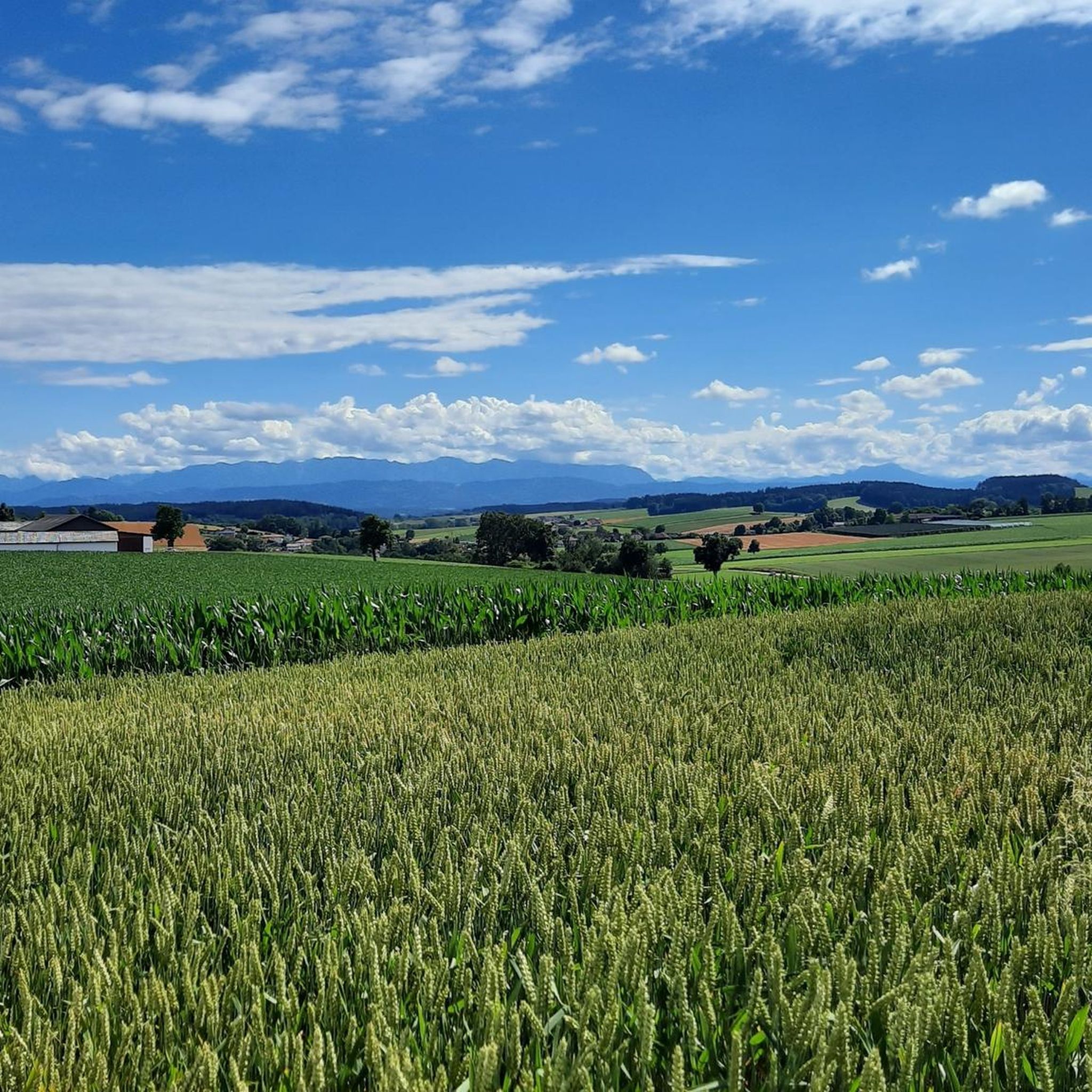
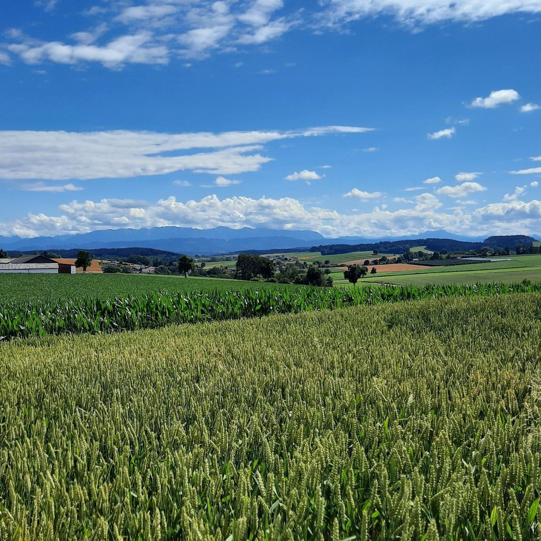
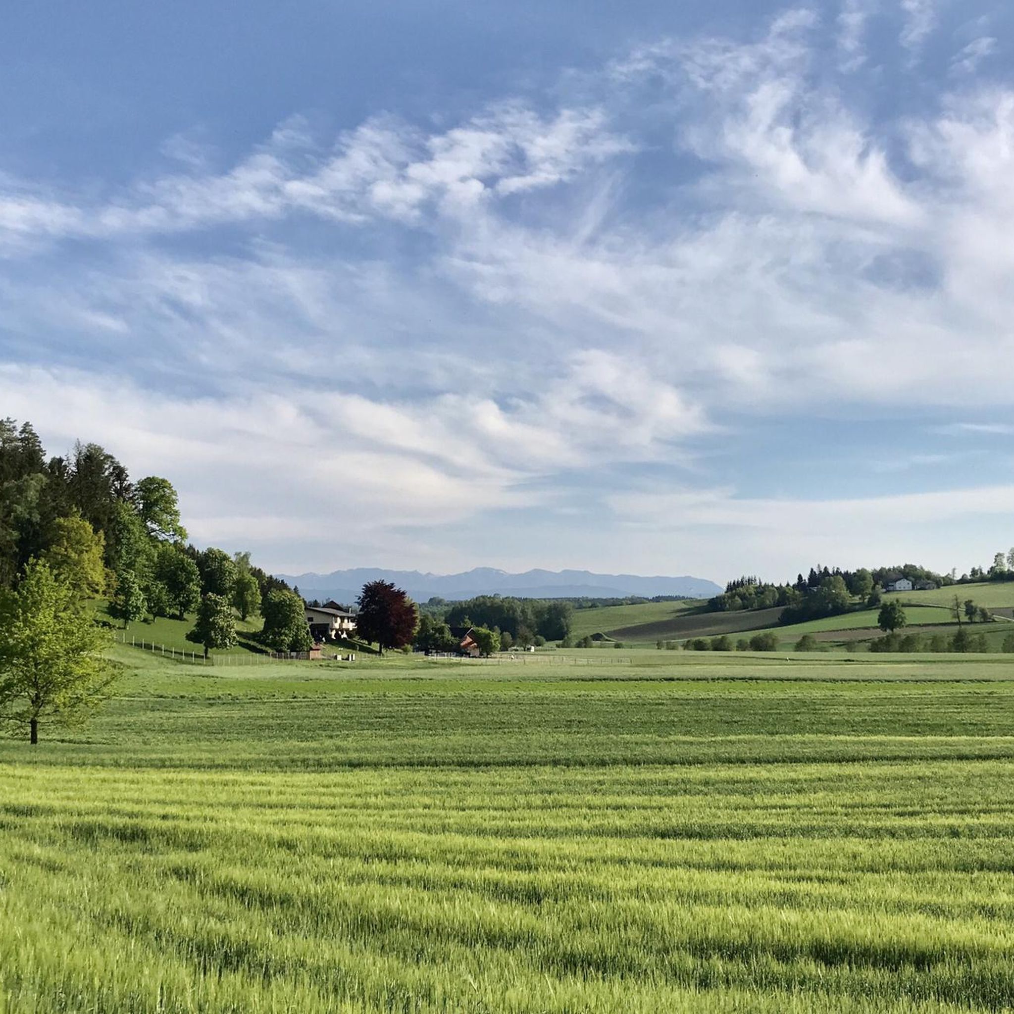
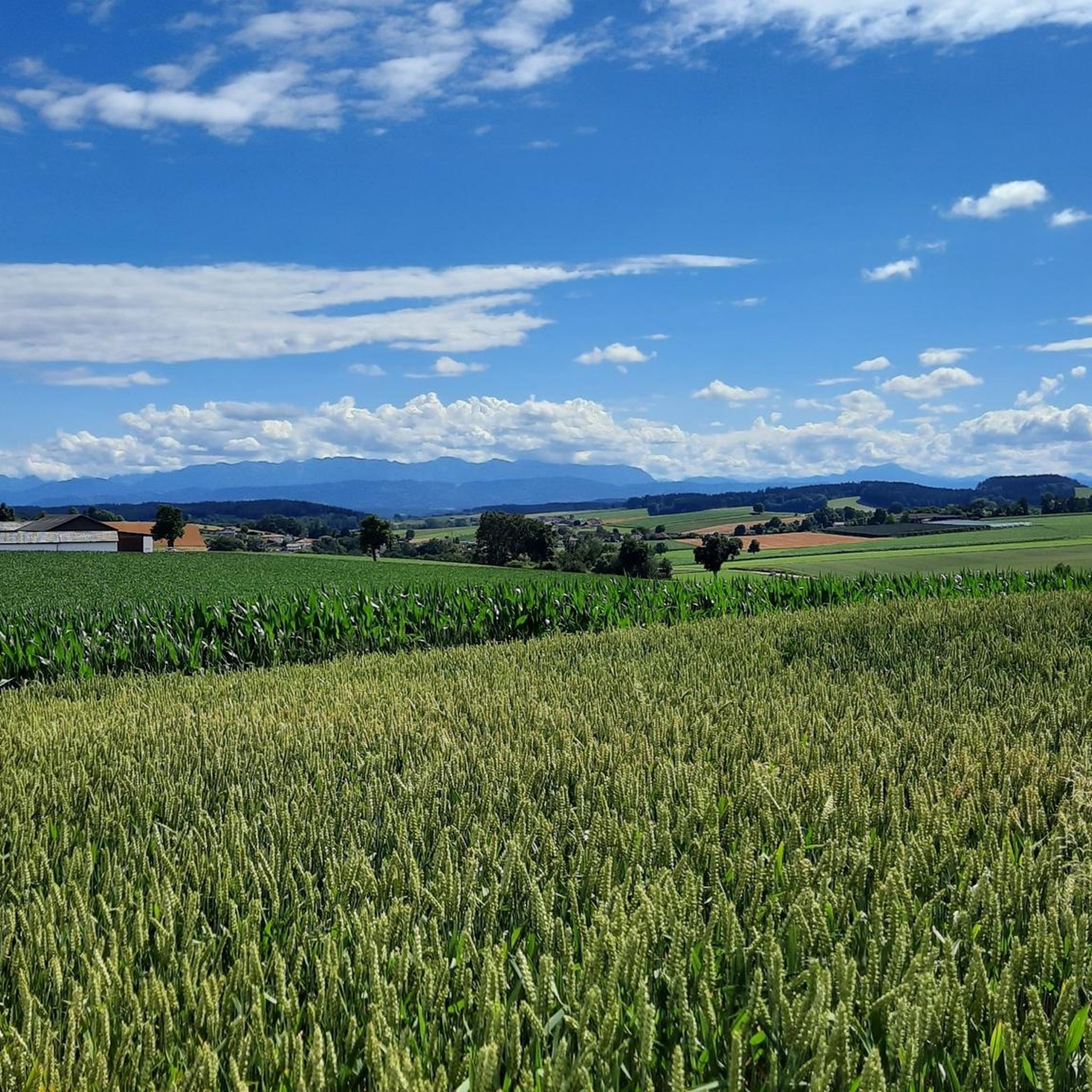
Tips from the Community

It's a bit off the main route, but easily accessible and offers a peaceful, natural atmosphere – perfect for a short rest or a moment of reflection. 🌲✝️ The cross symbolically marks the highest point of the Schlossberg and is surrounded by forest, giving the place a particularly peaceful atmosphere. It's not a spectacular viewpoint like the Luisenwarte, but a quiet, dignified spot surrounded by greenery.
7
0

Halfway point of the Krailbergrunde, good rest stop
1
0

If you are looking for the ultimate view you will unfortunately not find it but it is still beautiful here.
4
0
Some paths here are very overgrown.
5
0

The highest point in the Wels-Land district is on the Steindlberg at 513m. That's 9m higher than the famous Krailberg.
1
0

Coming from the south (vineyard), enter the forest, then turn left (do not go around the forest to the southwest, it will be difficult there), from the north (staffel) there are 2 steeper paths leading up, we used the left one around the outside, at the top it is then comfortably flat in the forest to the summit cross
1
0

Here you will find the "summit cross" of the Turmberg (750 m). An unmarked but beautiful little path leads to this spot. A few meters further on you can also catch a beautiful view of the ridge of the Hausruckwald forest.
0
0

Great tips and information to make you want to visit this place. Thank you for that!
3
1
Frequently Asked Questions
What are some notable mountain peaks or elevated points near Niederthalheim?
While Niederthalheim itself is at a lower elevation, it serves as a gateway to more mountainous areas. Locally, you can explore the Krailberg Summit Cross (504 m), which is the highest point in the Wels-Land district. Other significant elevated points include the Lederer Kopf Summit and the Hausruck Ridge High Point, which is part of the Hausruck range.
Which peaks offer the best views around Niederthalheim?
For scenic views, the Lederer Kopf Summit is known for its beautiful viewpoint and even has a summit book. The Krailberg Summit Cross (504 m) also offers great scenery and views, being a popular hiking destination. Additionally, the Turmberg Summit Cross provides a beautiful view of the Hausruckwald forest ridge.
Are there easy hiking options around Niederthalheim's peaks?
Yes, there are several easy hiking options in the vicinity. For example, you can find various easy routes in the guide for Easy hikes around Niederthalheim, including loops from Schwanenstadt and Oberndorf bei Schwanenstadt that are suitable for less strenuous outings.
What kind of hiking experiences can I expect around Niederthalheim?
The region offers a variety of hiking experiences, from local elevated points suitable for moderate hikes to exploring higher ridge points within forests. You'll find summits with summit crosses, viewpoints, and trails that wind through the Hausruckwald, one of Europe's largest contiguous forest areas. Many trails are rated as intermediate difficulty.
When is the best time of year to hike the peaks near Niederthalheim?
The best time to hike the peaks around Niederthalheim is generally from spring to autumn, when the weather is mild and trails are clear. Summer offers lush greenery, while autumn provides beautiful foliage. While some trails might be accessible in winter, conditions can be challenging due to snow and ice, so always check local weather before heading out.
Are the mountain peaks around Niederthalheim suitable for families?
Many of the local elevated points and trails around Niederthalheim are suitable for families, especially those looking for moderate hikes rather than challenging alpine climbs. The Krailberg Summit Cross (504 m), for instance, is part of a moderate hiking loop that is accessible for a rewarding hike with local views, making it a good option for families.
What do visitors enjoy most about the peaks and elevated points near Niederthalheim?
Visitors particularly enjoy the peaceful, natural atmosphere and the rewarding views from the summits. Highlights like the Lederer Kopf Summit are appreciated for their beautiful viewpoints and the presence of a summit book. The sense of achievement from reaching the highest point in the district, such as the Krailberg Summit Cross, is also a popular draw.
What other outdoor activities are available near Niederthalheim's peaks?
Beyond hiking, the area around Niederthalheim offers excellent opportunities for cycling and mountain biking. You can explore various routes, from moderate cycling tours like the Stadl-Paura Pilgrimage Church loop to more challenging mountain bike trails such as those found in the guide for MTB Trails around Niederthalheim.
Can I bring my dog on hikes around Niederthalheim's peaks?
Generally, dogs are welcome on hiking trails around Niederthalheim, provided they are kept on a leash and owners adhere to local regulations and clean up after their pets. It's always advisable to check specific trail rules or local signage, especially in nature reserve areas, to ensure a pleasant experience for everyone.
Are there any cultural or historic landmarks on the trails?
Yes, some trails incorporate cultural or historic elements. For example, the Cross on the Marien hiking trail at Schlossberg (Granazweg) offers a peaceful, natural atmosphere and a moment for reflection. Summit crosses, like the one on Krailberg, also serve as local landmarks with cultural significance.
Where can I find more routes for cycling near Niederthalheim?
For more cycling adventures, you can refer to the guide for Cycling around Niederthalheim. This guide features various routes, including moderate tours like the Stadl-Paura Pilgrimage Church loop and more difficult options such as the Wirtandler Rest Area loop with views of the Alps.
Most popular routes around Niederthalheim
Most popular attractions around Niederthalheim

Get inspired with the komoot mobile app


Explore more
See even more amazing summits around Niederthalheim with these guides:
