The best walks and hikes around Niederthalheim
4.6
(1224)
7,774
hikers
543
hikes
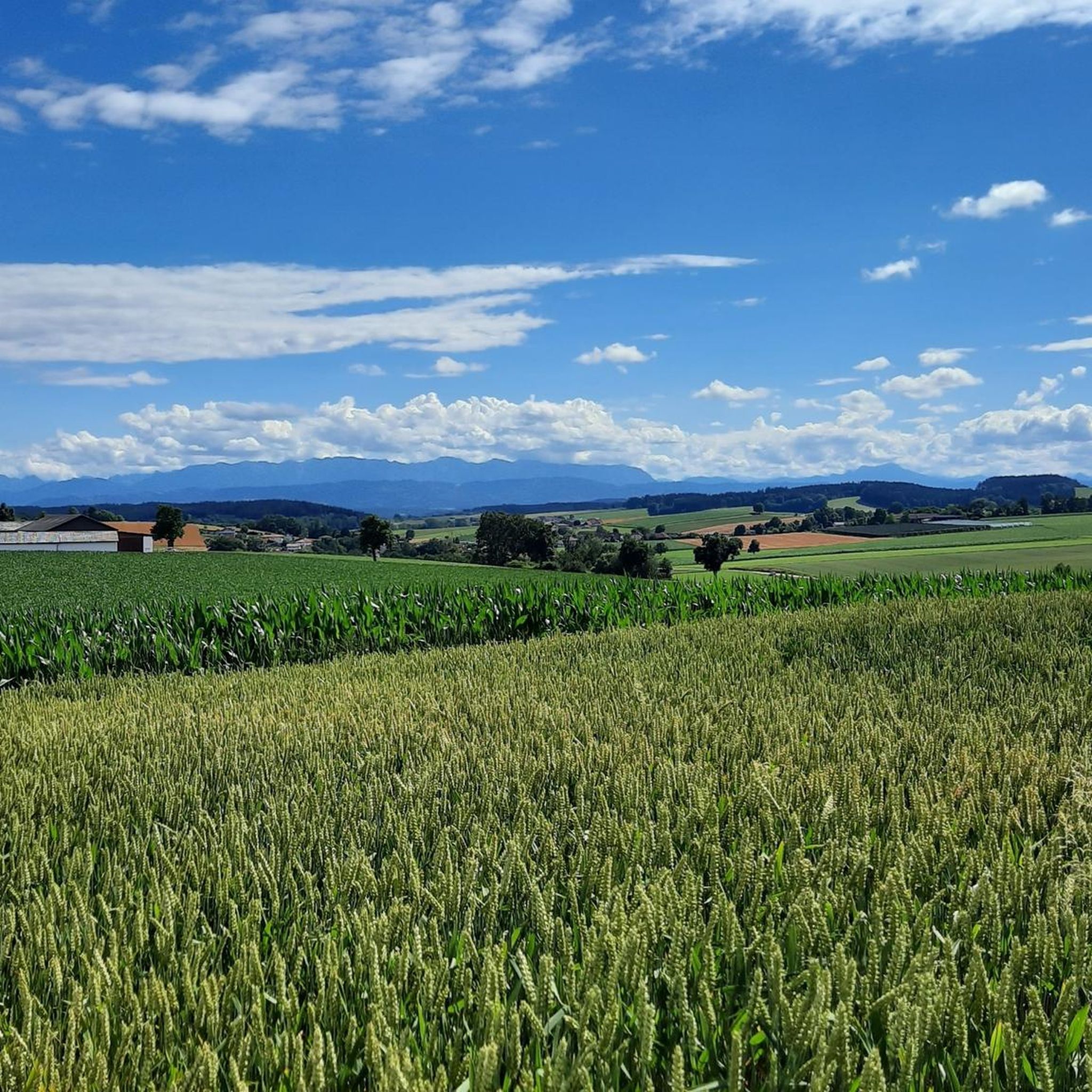
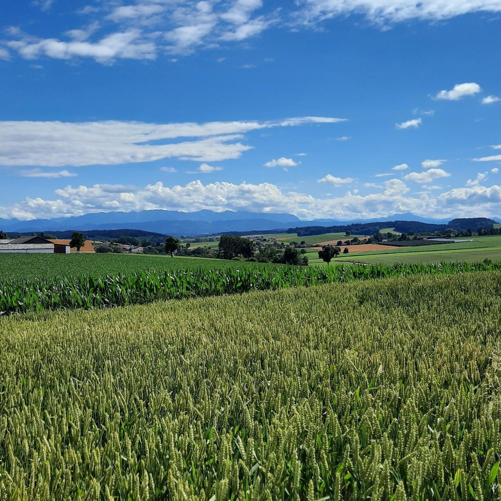
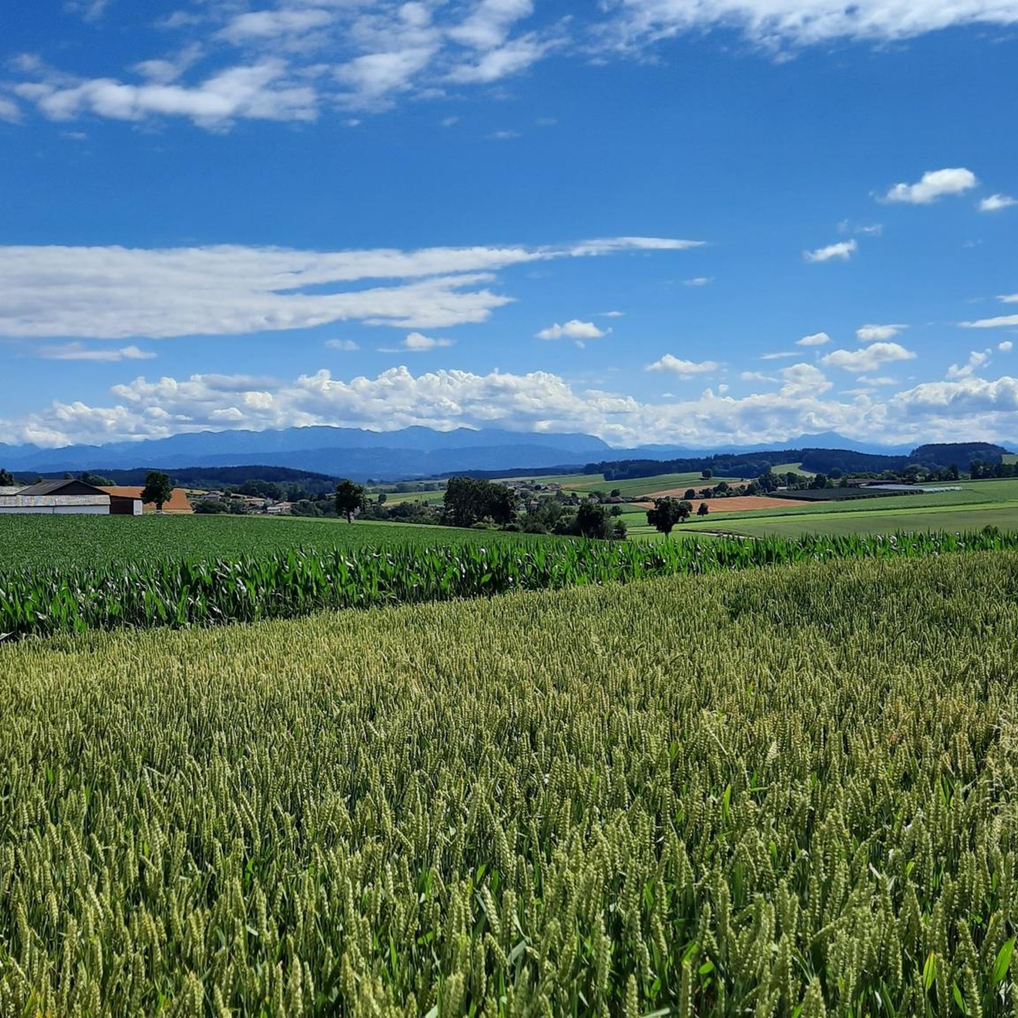
Hiking around Niederthalheim features a varied landscape of rolling hills, forests, and open meadows. The municipality is characterized by agricultural land interspersed with woodlands, providing a mix of environments for outdoor activities. The Kroißbach stream flows through the area, contributing to the local ecosystem and offering paths along its banks. Elevated areas like the Krailberg Summit Cross provide moderate hiking experiences with potential views of the surrounding countryside.
Best hiking trails around Niederthalheim
- The most popular hiking route is Krailberg…
Last updated: May 16, 2026
5.0
(1)
15
hikers
Moderate hike. Good fitness required. Easily-accessible paths. Suitable for all skill levels.
15
hikers
4.69km
01:13
30m
30m
Easy hike. Great for any fitness level. Easily-accessible paths. Suitable for all skill levels.

Sign up for free
12
hikers
Easy hike. Great for any fitness level. Easily-accessible paths. Suitable for all skill levels.
5.0
(1)
10
hikers
9.39km
02:27
70m
70m
Moderate hike. Good fitness required. Easily-accessible paths. Suitable for all skill levels.
10
hikers
5.37km
01:29
90m
90m
Easy hike. Great for any fitness level. Easily-accessible paths. Suitable for all skill levels.
Get access to more routes and recommendations from other explorers.
Sign up for free
Already have an account?
Our route recommendations are based on thousands of hikes, rides, and runs completed by other people on komoot.
Start today with a free account
Your next adventure awaits.
Login or Signup
Tips from the Community

Halfway point of the Krailbergrunde, good rest stop
1
0

Beautiful garden in Kirchengasse.
1
1

The highest point in the Wels-Land district is on the Steindlberg at 513m. That's 9m higher than the famous Krailberg.
1
0

Coming from the south (vineyard), enter the forest, then turn left (do not go around the forest to the southwest, it will be difficult there), from the north (staffel) there are 2 steeper paths leading up, we used the left one around the outside, at the top it is then comfortably flat in the forest to the summit cross
1
0

Old Town Schwanenstadt is the historical core of the municipality of Schwanenstadt in Upper Austria. The old town is located on the town square, which is lined with numerous town houses from different eras. The old town's sights include the town hall, the parish church of St. Michael, the parish church of St. Oswald, the local history museum and Herberstorff Castle.
5
0

Every Thursday from around 9 a.m. to 2 p.m
0
0
Krailberg is the highest point in the Wels-Land district with a height of 504 meters. It lies on the border of the communities of Bachmanning, Neukirchen and Pennewang. There is a summit cross on the Krailberg that was built in 2011. Krailberg is a popular destination for hikers who can enjoy beautiful hiking trails through picturesque forests. There are several routes to reach the summit, starting from various villages in the area. Some of the most recommended are: Hike from Bachmanning: This is a 9.5 km long hiking trail that starts from the Bachmanning town hall and passes the St. Leonhard Chapel and the Bachmanning Castle before reaching the summit of Krailberg. Hike from Neukirchen: This is a 7.5 km long circular route that starts from the Neukirchen multi-purpose hall and follows a forest road to the summit of the Krailberg. Hike from Pennewang: This is a 6.5 km long circular route that starts from the Pennewang church and crosses the fields and forests to the summit of the Krailberg.
2
3
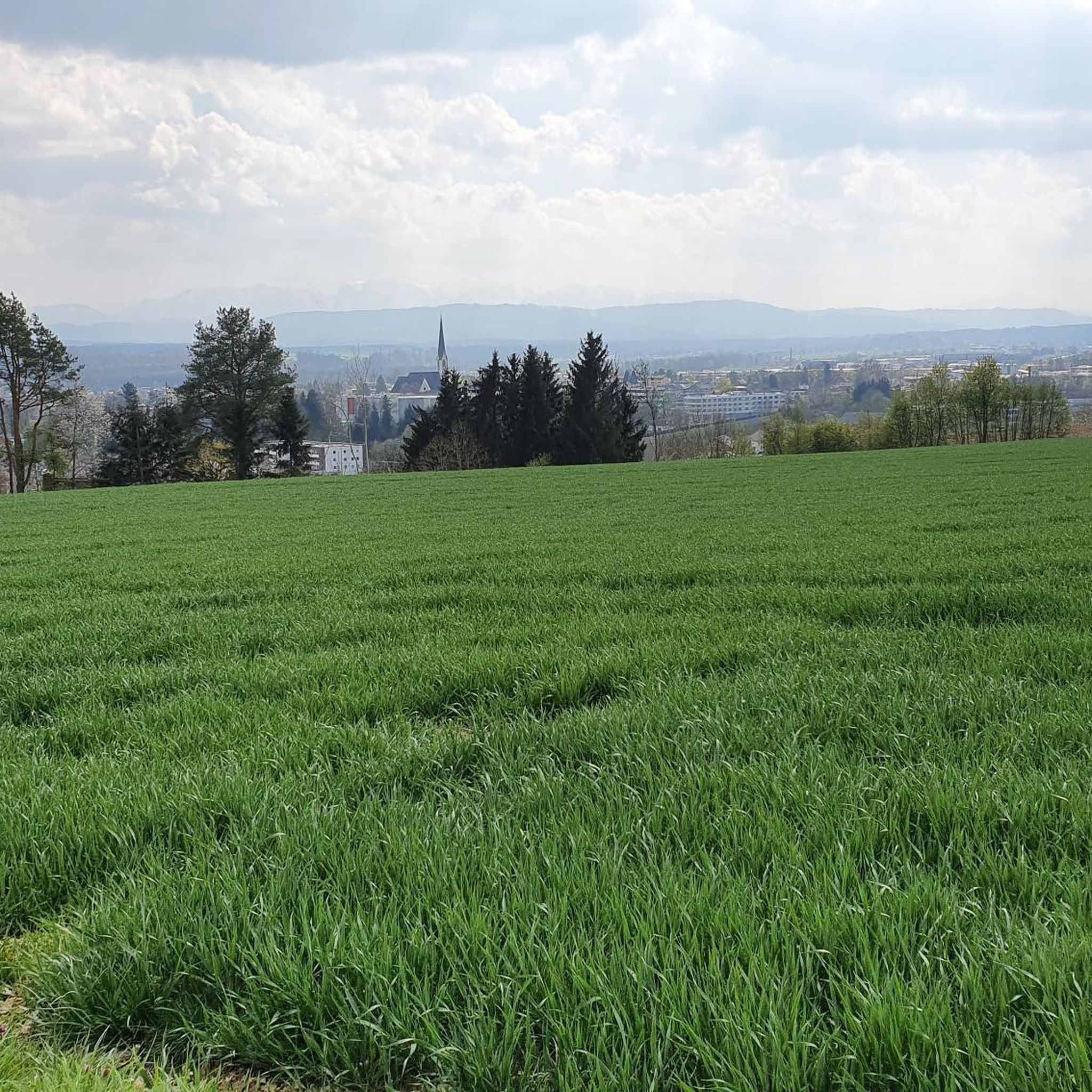
Magnificent view of the Trauntal and the Alps
9
1
Frequently Asked Questions
How many hiking trails are available around Niederthalheim?
Niederthalheim offers a wide variety of hiking experiences, with over 550 trails to explore. These include approximately 320 easy routes, 220 moderate trails, and a few more challenging options, ensuring there's something for every fitness level.
What kind of landscape will I encounter on hikes near Niederthalheim?
The region around Niederthalheim features a diverse landscape of rolling hills, fragrant forests, and lush meadows. You'll find agricultural land interspersed with woodlands, and the Kroißbach stream flows through the area, often providing pleasant paths along its banks. Elevated areas like the Krailberg offer rewarding views of the surrounding countryside.
Are there any circular hiking routes in Niederthalheim?
Yes, many of the trails around Niederthalheim are designed as circular routes, allowing you to start and end at the same point. For example, the Krailberg Summit Cross (504 m) – Hager Lies Cycle Path loop from Neukirchen bei Lambach is a popular moderate option, and the Phillipsberg Church – Schwanenstadt Old Town loop from Schwanenstadt offers an easy walk through varied terrain.
What are some notable natural attractions or viewpoints to see while hiking?
Hikers can discover several natural highlights. The Krailberg Summit Cross (504 m) provides excellent panoramic views. A short distance away, the impressive Traunfall Waterfall is a significant natural landmark, and the Luisenhöhe Observation Deck also offers great vistas.
Are there any cultural or historical landmarks accessible from the trails?
Absolutely. The historic Lambach Abbey, located on the Way of St. James, is a prominent cultural site nearby. You might also encounter the Puchheim Celtic Tree Circle, adding a touch of ancient history to your outdoor adventure.
What do other hikers say about the trails in Niederthalheim?
The hiking trails in Niederthalheim are highly regarded by the komoot community, with an average rating of 4.6 out of 5 stars from over 1,100 reviews. Hikers often praise the varied terrain, the peaceful atmosphere of the forests and meadows, and the well-maintained paths that make for an enjoyable experience.
Are there family-friendly hiking options in Niederthalheim?
Yes, Niederthalheim offers many easy trails suitable for families. Routes like the Hiking loop from Schwanenstadt are relatively short and flat, providing a straightforward walk through the local scenery that can be enjoyed by all ages.
Can I find places to eat or rest near the hiking routes?
Yes, there are options for refreshments. For instance, the Steckerlfisch Grill Harald Wenk is a place where you can enjoy a meal. Additionally, the Pettenfirst Hut offers a rustic spot for a break.
Is Niederthalheim a good destination for dog owners who want to hike?
The natural environment of Niederthalheim, with its extensive forests and open meadows, is generally very welcoming for dogs. While specific dog-friendly amenities may vary, the abundance of outdoor space makes it a great area for walks with your canine companion.
What is the best time of year to go hiking in Niederthalheim?
Niederthalheim is beautiful throughout the warmer months. Spring and summer are particularly appealing, when the forests are fragrant and the meadows are lush and flowering. The varied terrain also makes it suitable for pleasant walks into the autumn.
Are there any trails that follow old railway lines or unique paths?
Yes, the region incorporates interesting paths like sections of the Haager Lies Cycle Path. You can find unique installations such as the Klangstamm on the Haager Lies Cycle Path, which adds an artistic element to your walk.
Most popular routes around Niederthalheim
Most popular attractions around Niederthalheim

Get inspired with the komoot mobile app


Explore more
Browse the best Hikes in other regions.
