The best MTB trails around Niederthalheim
4.5
(650)
3,214
riders
308
rides
Mountain bike trails around Niederthalheim Upper Austria traverse a diverse landscape characterized by hilly terrain and dense forests. The region, part of the Vöcklabruck district, offers a mix of gravel, meadow, and forest paths, alongside roads and farm tracks. Its proximity to the Salzkammergut region provides access to areas with numerous lakes and alpine foothills, offering varied terrain for mountain biking. This area provides a comprehensive network of routes for different skill levels.
Best mountain bike trails around Niederthalheim
- The most popular mountain bike trail is Hongar Summit and Viewpoint – View from the Hongar loop from Breitenschützing, a difficult 34.2 miles (55.1 km) trail that takes 4 hours 19 minutes to complete. This route offers significant elevation gain and expansive views.
- Another top favourite among local mountain bikers is View of Traunstein – Geboltskirchen loop from Gaspoltshofen, a moderate 27.3 miles (44.0 km) path. This trail features rolling hills and scenic vistas, including distant mountain views.
- Local mountain bikers also love the Pond on the Ager – Alm Footbridge loop from Breitenschützing, a 25.7 miles (41.4 km) trail leading through forested areas and past water features, often completed in about 2 hours 59 minutes.
- Mountain biking around Niederthalheim is defined by hilly terrain, dense forests, and proximity to picturesque lakes. The network offers options for various ability levels, from moderate paths to more challenging routes.
- The routes in Niederthalheim are highly rated by the komoot community with an average score of 4.5 stars from over 600 reviews. More than 3000 mountain bikers have used komoot to explore Niederthalheim's varied terrain.
Last updated: May 20, 2026
4.7
(13)
62
riders
Hard mountain bike ride. Good fitness required. Advanced riding skills necessary. Some portions of the route may require you to push your bike.
5.0
(1)
20
riders
44.0km
03:17
880m
880m
Moderate mountain bike ride. Good fitness required. Suitable for all skill levels.

Sign up for free
4.0
(4)
19
riders
41.4km
03:00
280m
280m
Moderate mountain bike ride. Good fitness required. Suitable for all skill levels.
4.7
(3)
10
riders
40.9km
02:54
530m
530m
Moderate mountain bike ride. Good fitness required. Suitable for all skill levels.
8
riders
55.1km
04:04
1,070m
1,070m
Hard mountain bike ride. Very good fitness required. Advanced riding skills necessary. Some portions of the route may require you to push your bike.
Get access to more routes and recommendations from other explorers.
Sign up for free
Already have an account?
Our route recommendations are based on thousands of hikes, rides, and runs completed by other people on komoot.
Start today with a free account
Your next adventure awaits.
Login or Signup
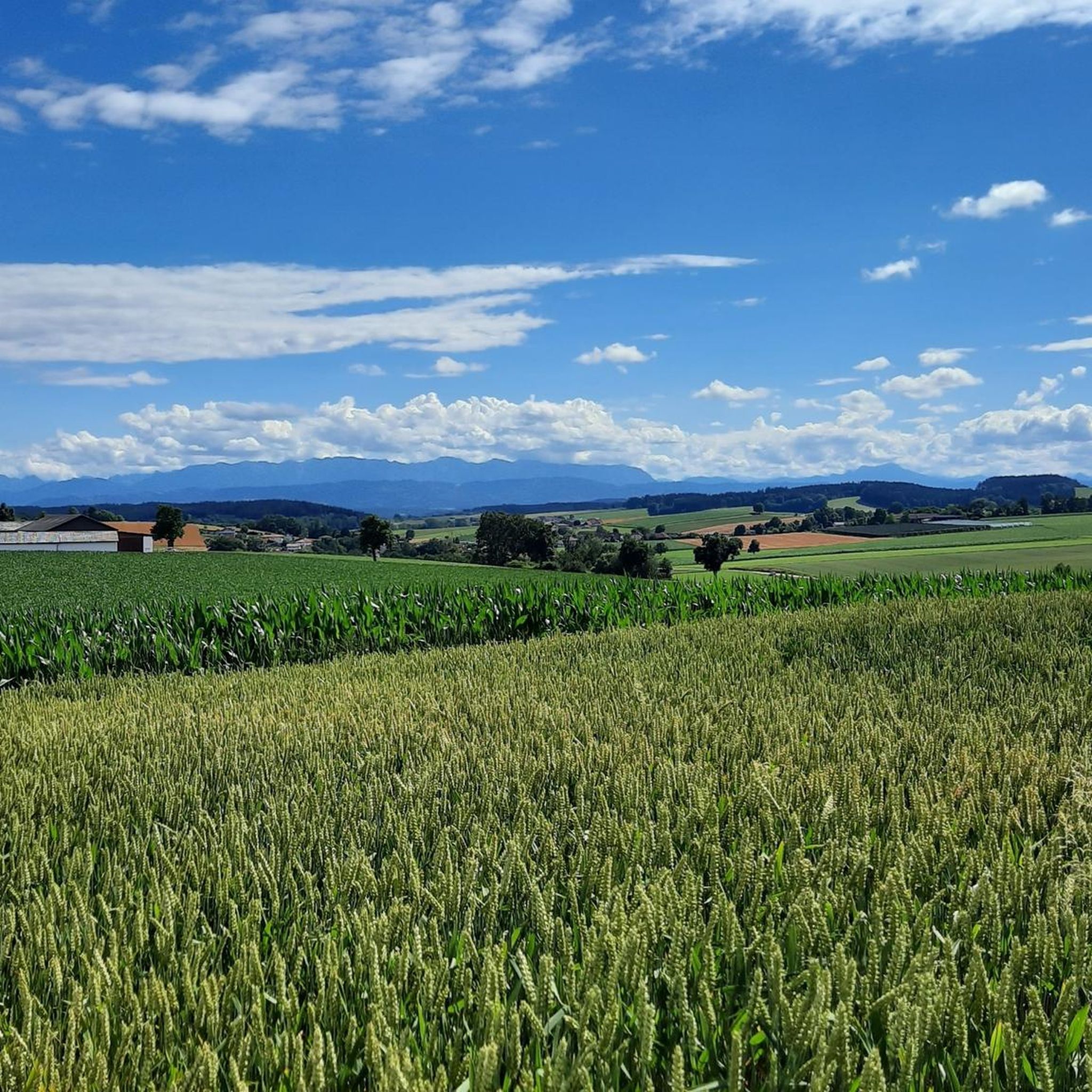
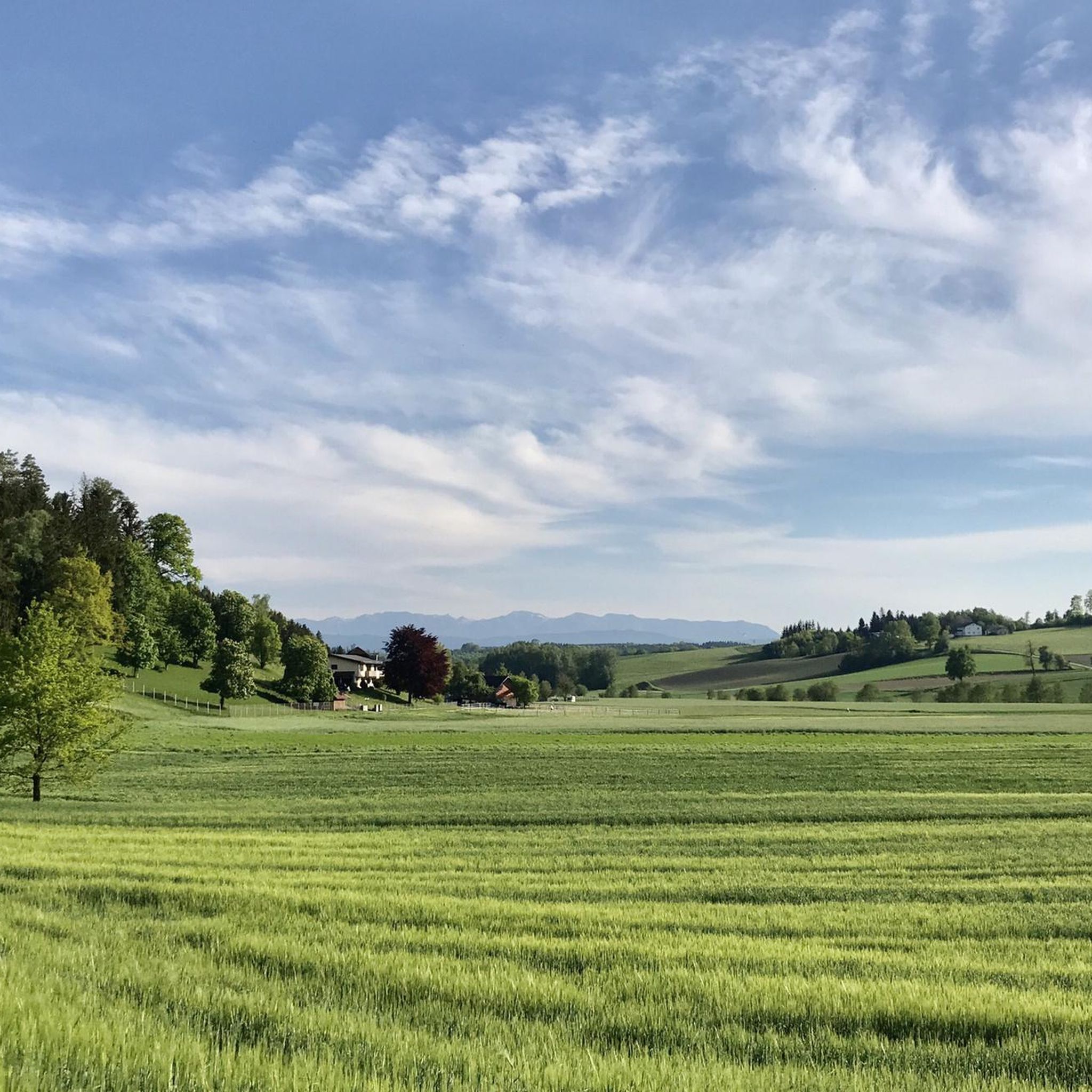
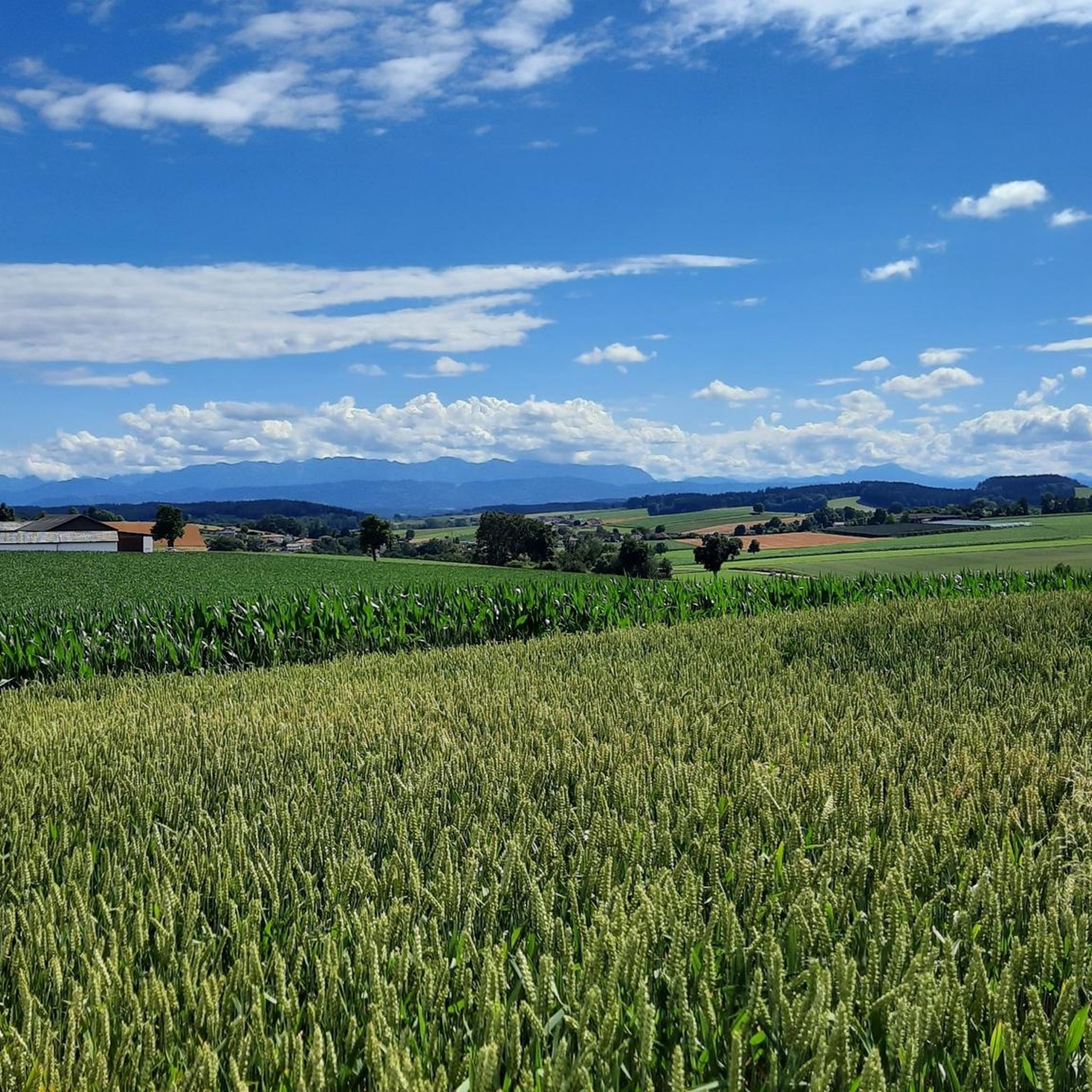
Tips from the Community

very good small local supplier and idyllic place
0
0
nicely developed and perfect (racing) bike path
0
0

Schörfling, Seewalchen, Weyregg, and also Vöcklabruck are familiar towns and communities on Lake Attersee. I've been coming here regularly for decades. I'd love to do a circumnavigation of Lake Attersee on an e-bike, but unfortunately, I haven't gotten around to it yet. I think it's probably about 50 kilometers. Greetings from a German. 🙋😉👍👏
0
1

There is also a window to the north overlooking Vöcklabruck, the view over the south side is absolutely super
0
1
The hiking trail on the Hongar Ridge is easy to ride with a mountain bike - with a road bike it is rather uncomfortable
0
1

A beautiful place to relax and enjoy
0
0

Always a very nice place to rest. When the pub is closed, there is usually coffee in a thermos flask, cakes on plates and a self-service drinks machine in the next room. It's nice that this still works on a trust basis!
0
0

This beautiful cross stands in the forest at the turnoff for Gasthaus Schwarz, Kronberg and Vöcklaberg. There are also benches to sit on.
1
1
Frequently Asked Questions
What types of terrain can I expect on mountain bike trails around Niederthalheim?
The region around Niederthalheim, particularly the Vöcklabruck district, features a diverse landscape. You'll encounter a mix of hilly terrain, dense forests, gravel paths, meadow trails, and farm tracks. Its proximity to the Salzkammergut region also means access to areas with numerous picturesque lakes and alpine foothills, offering varied and scenic riding experiences.
How many mountain bike trails are available in the Niederthalheim area?
There are over 300 mountain bike trails available around Niederthalheim. This extensive network caters to various skill levels, from easy routes for beginners to more challenging trails for experienced riders.
What are the difficulty levels of mountain bike trails around Niederthalheim?
The trails around Niederthalheim offer a range of difficulty levels. You'll find approximately 76 easy routes, 194 moderate trails, and 45 difficult options. This variety ensures there's something for every mountain biker, from leisurely rides through rolling hills to demanding ascents and descents.
Are there any trails that offer significant elevation gain for a challenging ride?
Yes, for a challenging ride with significant elevation gain, consider the Ödberg Summit Cross (Ödbergkreuz) – Baptism Chapel Eberschwang loop from Gaspoltshofen. This difficult route covers 56.3 km and features over 1096 meters of ascent, providing a demanding workout and rewarding views.
What do other mountain bikers enjoy most about the trails in Niederthalheim?
The mountain bike trails around Niederthalheim are highly rated by the komoot community, with an average score of 4.5 stars from over 600 reviews. Riders often praise the diverse terrain, the scenic beauty of the forests and lakes, and the well-maintained network of paths that offer options for all abilities.
Are there any circular mountain bike routes available?
Yes, many routes in the area are circular. For example, the Pond on the Ager – Alm Footbridge loop from Breitenschützing is a moderate 41.4 km circular trail that takes you through forested areas and past water features. Another option is the Kreiml oak – Pettenfirst Hut loop from Breitenschützing, a 40.4 km moderate circular route.
Can I find trails with scenic viewpoints or natural attractions?
Absolutely. The region is known for its natural beauty. The Hongar Summit and Viewpoint – View from the Hongar loop from Breitenschützing offers expansive views. You might also encounter picturesque lakes, such as those in the nearby Salzkammergut region, and dense forests. For a notable natural feature, the Traunfall Waterfall is a significant attraction in the wider area.
Are there any historical landmarks or castles near the mountain bike routes?
Yes, the area around Niederthalheim is rich in historical sites. You can find several castles, such as Wolfsegg Castle, Aistersheim Water Castle, and Puchheim Castle. Additionally, the historic Lambach Abbey is another significant landmark worth exploring.
Are there any trails that offer distant mountain views?
Yes, some trails provide excellent distant mountain views. The View of Traunstein – Geboltskirchen loop from Gaspoltshofen is a moderate 44 km path that features rolling hills and scenic vistas, including impressive distant mountain views, particularly of the Traunstein.
What is the best time of year for mountain biking in Niederthalheim?
The region is generally suitable for mountain biking from spring through autumn. The hilly terrain and forests provide pleasant conditions. While specific seasonal details aren't provided, the mild climate of Upper Austria typically allows for good riding conditions outside of winter months, with spring and early autumn offering particularly vibrant scenery.
Are there any places to stop for refreshments along the trails?
While specific cafes directly on every trail are not detailed, the region has amenities. For example, the Pettenfirst Hut is a known stopping point in the area, often accessible from various routes. Many villages and towns near the trailheads will also offer cafes and pubs.
Most popular routes around Niederthalheim
Most popular attractions around Niederthalheim

Get inspired with the komoot mobile app


Explore more
Browse the best MTB trails in other regions.
