The best gravel rides around Niederthalheim
5.0
(6)
54
riders
9
rides
Gravel biking around Niederthalheim offers routes through the diverse landscapes of Upper Austria, characterized by rolling hills, forests, and river valleys. The region provides a mix of terrains suitable for gravel biking, from flatter sections along rivers like the Ager to more challenging climbs through hilly areas. Nearby natural features such as Traunfall and the extensive forest tracks contribute to varied gravel routes.
Best gravel bike trails around Niederthalheim
- The most popular gravel bike trail is Traunsee near Ebensee –…
Last updated: July 2, 2026
5.0
(2)
18
riders
21.4km
01:10
130m
130m
Easy gravel ride. Great for any fitness level. Mostly paved surfaces. Suitable for all skill levels.
5
riders
34.9km
02:40
580m
580m
Hard gravel ride. Very good fitness required. You may need to push your bike for some segments of this route.

Sign up for free
5
riders
41.1km
02:18
250m
250m
Moderate gravel ride. Good fitness required. Mostly paved surfaces. Suitable for all skill levels.
5.0
(1)
3
riders
58.0km
03:55
730m
730m
Hard gravel ride. Very good fitness required. Mostly paved surfaces. Suitable for all skill levels.
2
riders
Moderate gravel ride. Good fitness required. Mostly paved surfaces. Suitable for all skill levels.
Get access to more routes and recommendations from other explorers.
Sign up for free
Already have an account?
Our route recommendations are based on thousands of hikes, rides, and runs completed by other people on komoot.
Start today with a free account
Your next adventure awaits.
Login or Signup
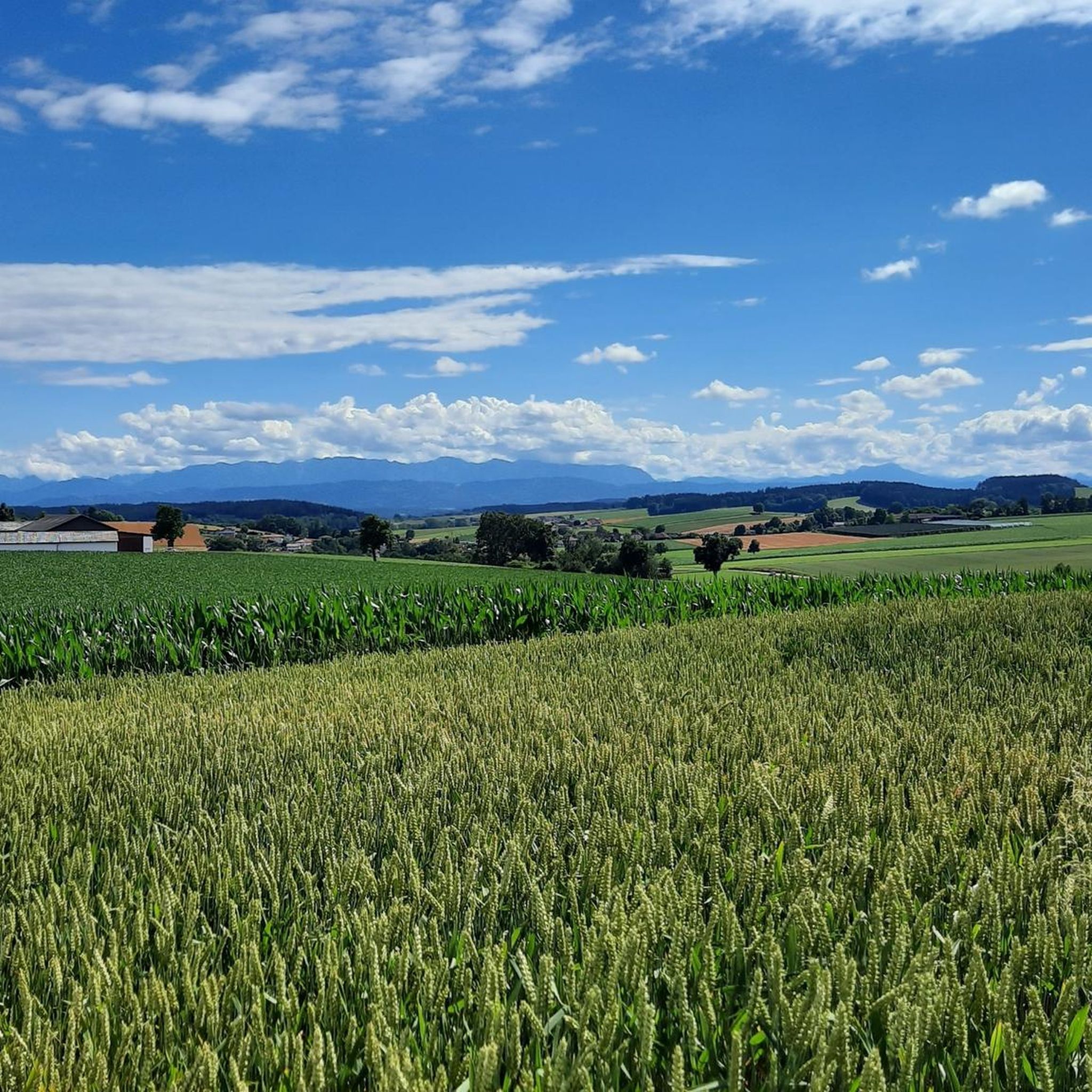
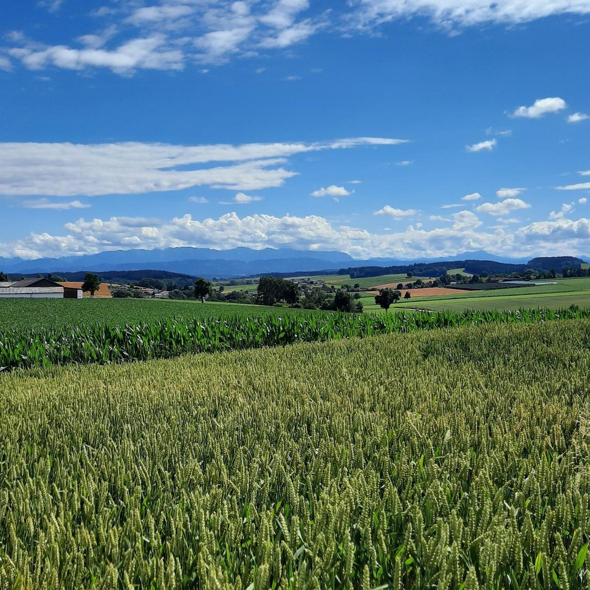
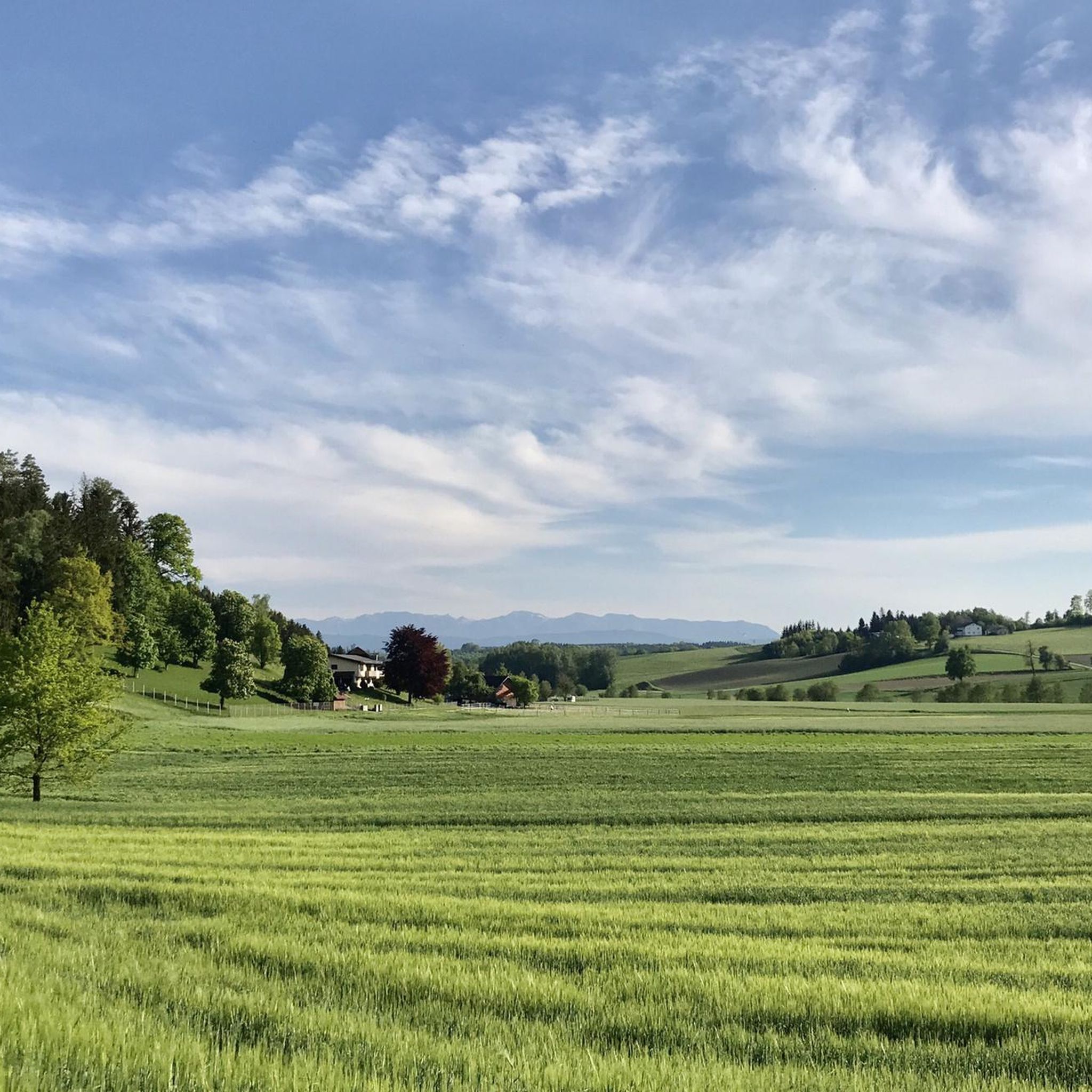
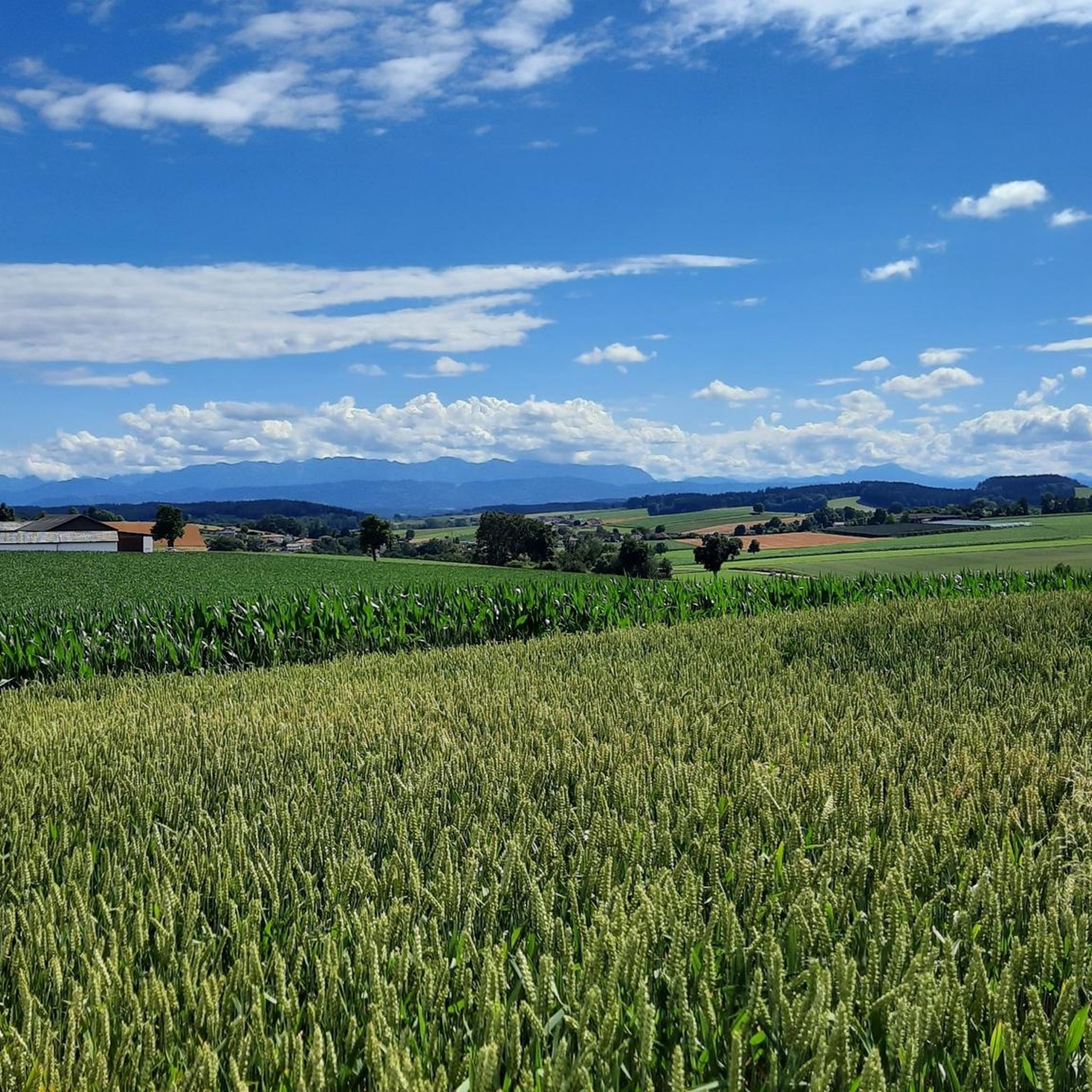
Tips from the Community

The Haager Lies Cycle Path is an impressive cycling and walking path in Austria that runs along a former railway line. Here are some interesting facts about this cycle path: 1. Route Length: - The cycle path stretches over 22 km and offers a scenic route through the region. 2. Start and End Points: - The route begins in Neukirchen bei Lambach and continues to Haag am Hausruck. 3. Difficulty: - The cycle path is considered difficult because it may contain sections with loose ground that are difficult to navigate. A good level of fitness is required. 4. Elevation Gains: - The tour includes up to 450 meters of elevation gain, making it a challenging but rewarding experience. 5. Nature Experience: - The cycle path leads through a beautiful landscape characterized by forests, meadows, and picturesque views. 6. **Duration**: - The average cycling time is approximately **1 hour and 35 minutes**, depending on individual fitness and breaks. The Hague Lies Cycle Route is therefore an ideal destination for cyclists and nature lovers who want to enjoy the beauty of nature.
0
0
The "Klangstamm" (sound trunk) is a wooden sound box that you can walk inside. It was designed by the artists Josef Bücheler and Markus Leuthe. On the outside are various elements that can be used as musical instruments, including a series of sound bars and violin cases with trumpets.
1
0


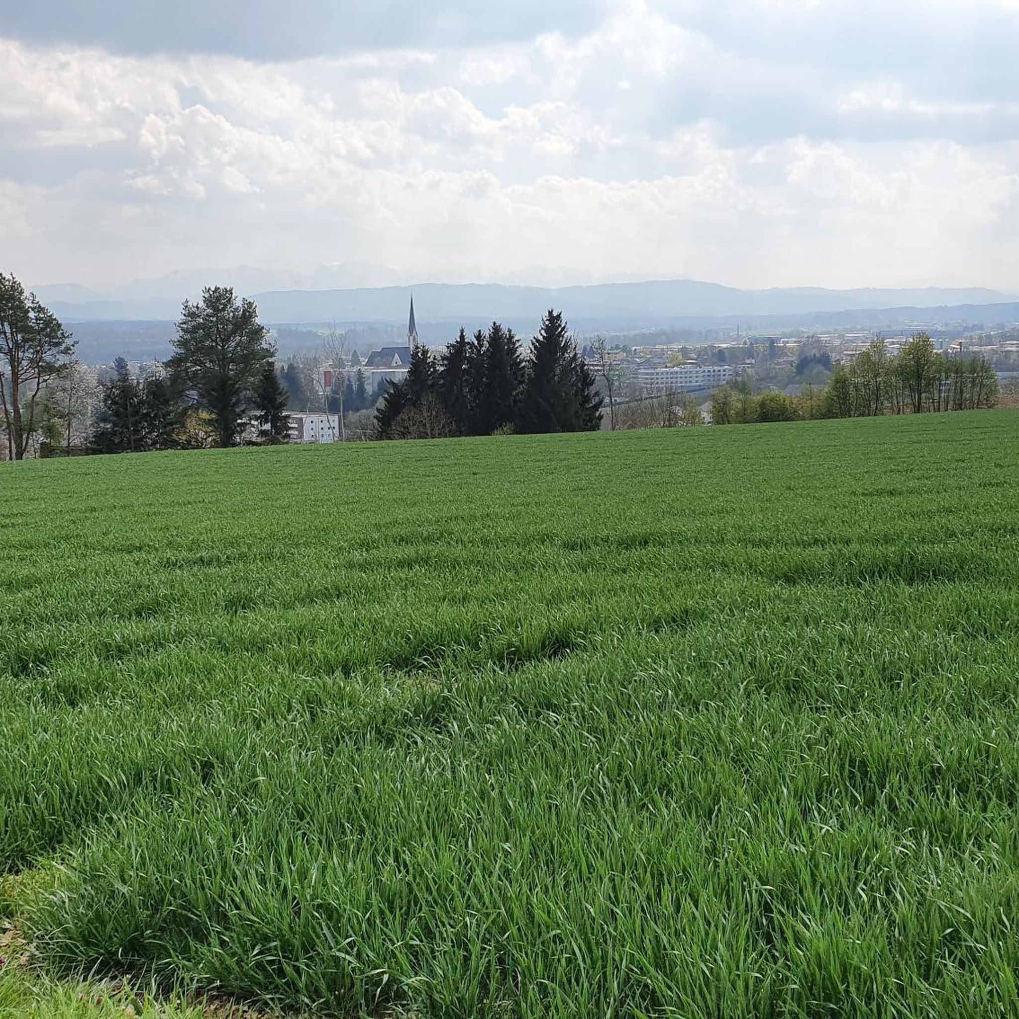
The view is currently obscured by trees. Nevertheless, there are beautiful spots along the way to enjoy the panoramic view.
1
0
Beautiful cycle path along the Traun and Ager rivers. Don't leave!
1
2

A beautiful place to relax and enjoy
0
0

Also historically interesting is the time when the Innviertel was still part of Bavaria,
0
0
Great route with many information boards about the history of Franz and his songs and poems,
0
0
Frequently Asked Questions
How many gravel bike trails are available around Niederthalheim?
There are over 19 gravel bike trails around Niederthalheim, offering a variety of experiences. These routes range from easy riverside paths to more challenging climbs through the region's rolling hills and forests.
Are there any easy gravel routes suitable for beginners or families?
Yes, Niederthalheim offers several easy gravel routes. A great option is the Pond on the Ager – Römerweg along the Ager River loop from Lambach Markt, an easy 21.4 km path that follows the Ager River, providing a relatively flat and scenic ride perfect for a relaxed outing.
What kind of natural features can I expect to see on the gravel trails?
The gravel trails around Niederthalheim showcase the diverse landscapes of Upper Austria. You can expect to ride through forests, along river valleys like the Ager, and across rolling hills. Notable natural features include the impressive Traunfall Waterfall and various viewpoints like the Luisenhöhe Observation Deck, offering scenic vistas.
Are there any challenging gravel bike routes for experienced riders?
Absolutely. For experienced gravel bikers seeking a challenge, the Traunsee near Ebensee – Parish Church of Traunkirchen on Lake Traunsee loop from Attnang-Puchheim is a difficult 100.1 km trail featuring significant elevation gain and stunning lake views. Another demanding option is the Lederkopf Viewpoint – Lederer Kopf Summit loop from Gaspoltshofen, which includes a substantial climb to the Lederer Kopf Summit.
What do other gravel bikers say about the trails in Niederthalheim?
The gravel biking routes in Niederthalheim are highly regarded by the komoot community, boasting an average score of 5.0 stars from over 2 reviews. Many of the 76 visitors who have explored the area praise the varied terrain, from quiet forest tracks to scenic riverside paths, and the opportunities for both relaxed and challenging rides.
Are there any historical or cultural landmarks along the gravel routes?
Yes, the region offers a blend of natural beauty and cultural heritage. Just 9 km from Niederthalheim, you can visit the historic Lambach Abbey. While cycling, you might also encounter unique features like the Klangstamm on the Haager Lies Cycle Path or the Puchheim Celtic Tree Circle, adding interesting stops to your ride.
Can I find circular gravel routes in the area?
Many of the gravel routes around Niederthalheim are designed as loops, allowing you to start and finish at the same point. Examples include the Baggerteiche Redlham – Lake Redlham loop from Lambach Markt, which takes you through varied terrain, and the Pond on the Ager – Römerweg along the Ager River loop from Lambach Markt.
What is the best time of year to go gravel biking in Niederthalheim?
The best time for gravel biking in Niederthalheim is generally from spring through autumn (April to October). During these months, the weather is typically mild, and the trails are in good condition. Summer offers longer daylight hours, while spring and autumn provide pleasant temperatures and beautiful scenery with fewer crowds.
Are there places to eat or drink near the gravel trails?
While specific cafes directly on every trail are not listed, the region has options for refreshments. For example, the Steckerlfisch Grill Harald Wenk is a local restaurant you might encounter. Additionally, many routes pass through or near towns like Lambach Markt, where you can find various eateries.
Is it possible to access gravel trails using public transport?
Niederthalheim and its surrounding towns, such as Lambach Markt and Attnang-Puchheim, are generally accessible by public transport, particularly by train. Many komoot tours start from these locations, making it feasible to reach the starting points of gravel routes without a car. We recommend checking local train and bus schedules for specific connections to your chosen starting point.
Where can I find parking for gravel biking in Niederthalheim?
Many of the gravel routes around Niederthalheim start from towns like Lambach Markt, Attnang-Puchheim, or Stadl-Paura, which typically offer public parking facilities. When planning your ride on komoot, you can often find information about parking options near the tour's starting point.
Are there any viewpoints or scenic spots along the routes?
Yes, the rolling hills and diverse landscapes of Upper Austria provide several scenic viewpoints. The Lederkopf Viewpoint – Lederer Kopf Summit loop leads to the Lederer Kopf Summit, offering panoramic views. Another excellent spot is the Luisenhöhe Observation Deck, which provides expansive vistas of the surrounding countryside.
Most popular routes around Niederthalheim
Most popular attractions around Niederthalheim

Get inspired with the komoot mobile app


Explore more
Browse the best Gravel rides in other regions.
