Top 20 Lakes around Sint-Gillis-Waas
Best lakes around Sint-Gillis-Waas are found within the Waasland region, characterized by its polder landscapes, marshy areas, and creeks. This area, influenced by the Scheldt and Durme rivers, offers diverse aquatic environments and rich ecological habitats. It is known for its nature reserves, which provide opportunities for walking, hiking, and observing local wildlife. The region's water features contribute to its unique natural beauty and geological significance.
Best lakes around Sint-Gillis-Waas
- The most popular lakes is Den Bunt Nature Reserve,…
Last updated: June 26, 2026
Den Bunt Nature Reserve
Highlight • Natural
Translated by Google •
Tip by

Along the former peat extraction area
Highlight (Segment) • Natural
Translated by Google •
Tip by
Sign up now to discover places like this
Get recommendations on the best single tracks, peaks, & plenty of other exciting outdoor places.
Sign up for free
Groot Eiland Nature Reserve
Highlight • Natural
Translated by Google •
Tip by
Across the Hamputten
Highlight (Segment) • Trail
Translated by Google •
Tip by
De Buylaers Nature Reserve
Highlight • Natural
Translated by Google •
Tip by

Sign up for free to discover even more lakes around Sint-Gillis-Waas.
Sign up for free
Already have an account?
Start today with a free account
Your next adventure awaits.
Login or Signup

Tips from the Community

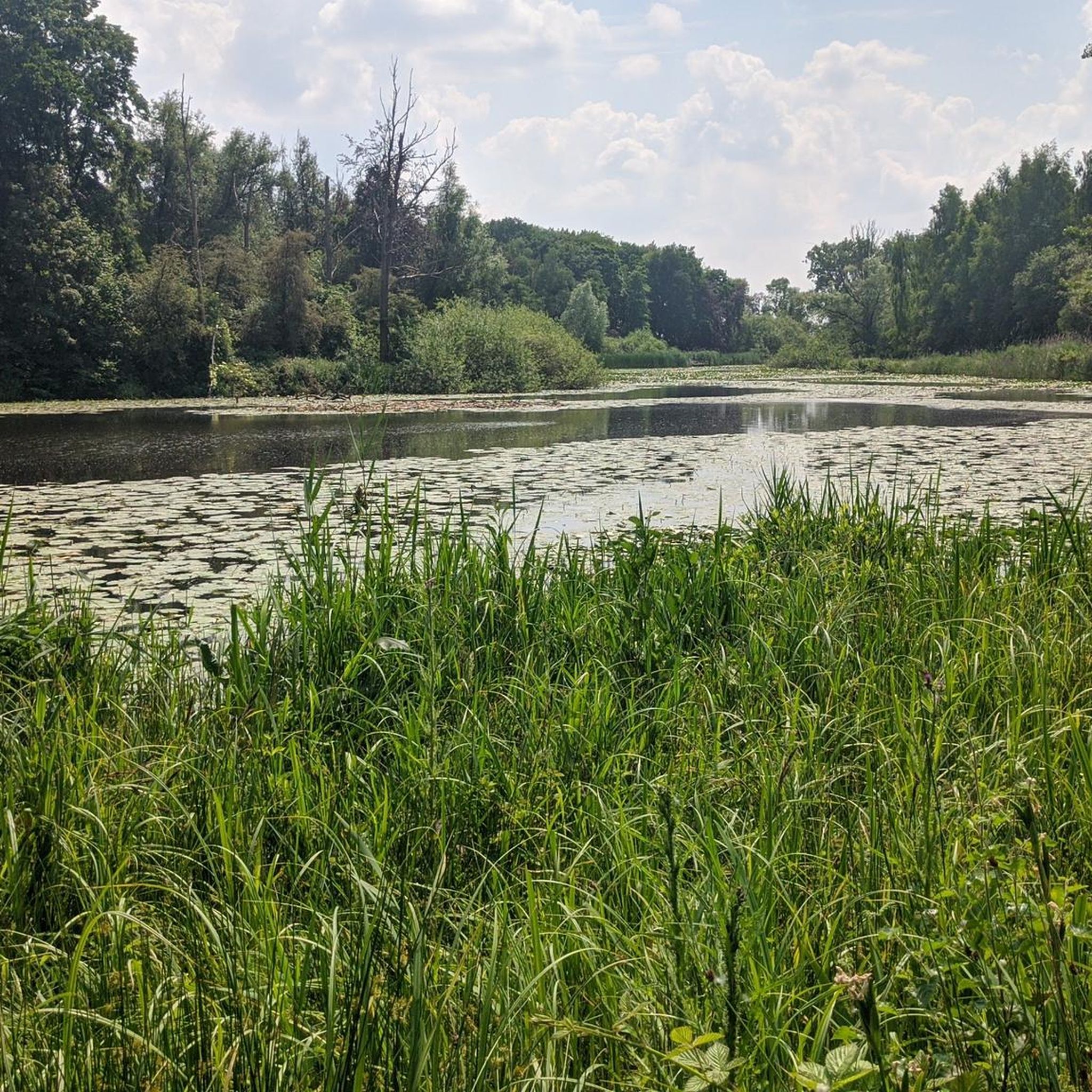
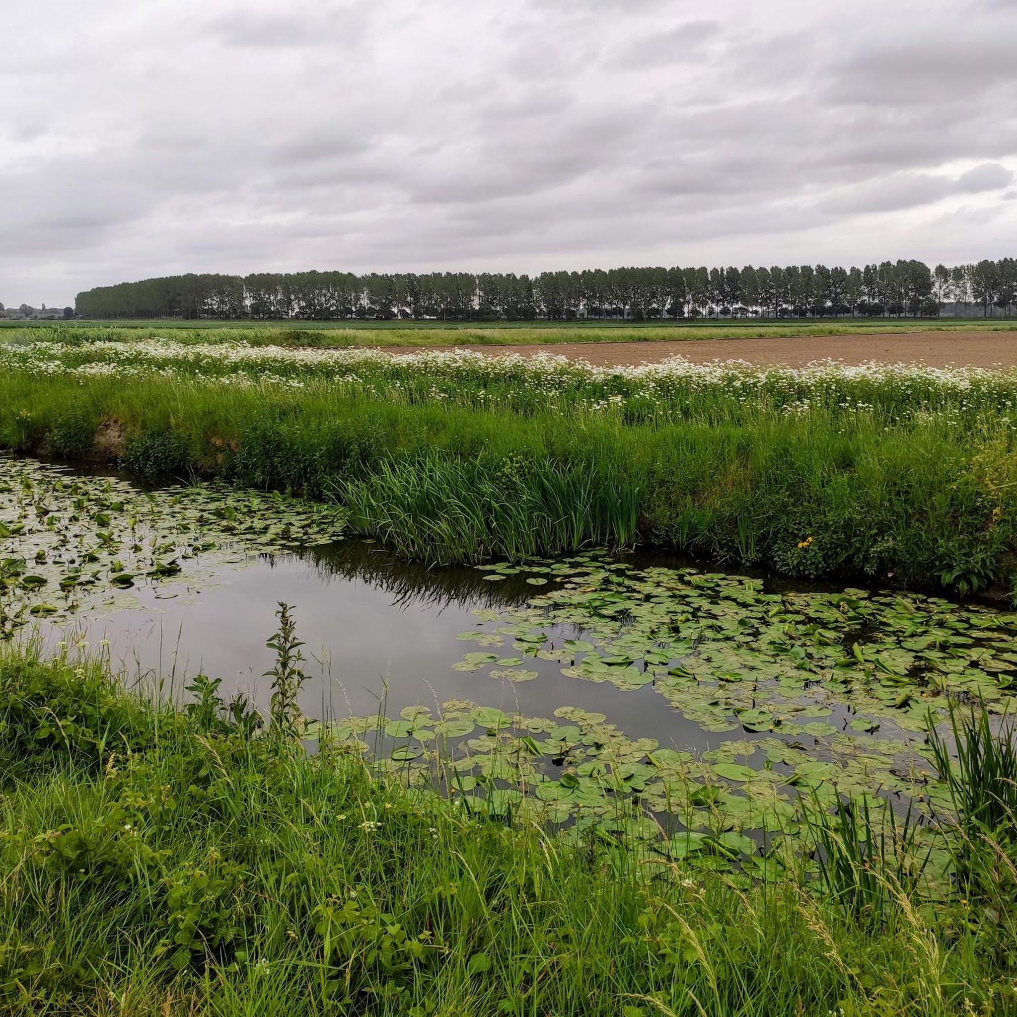
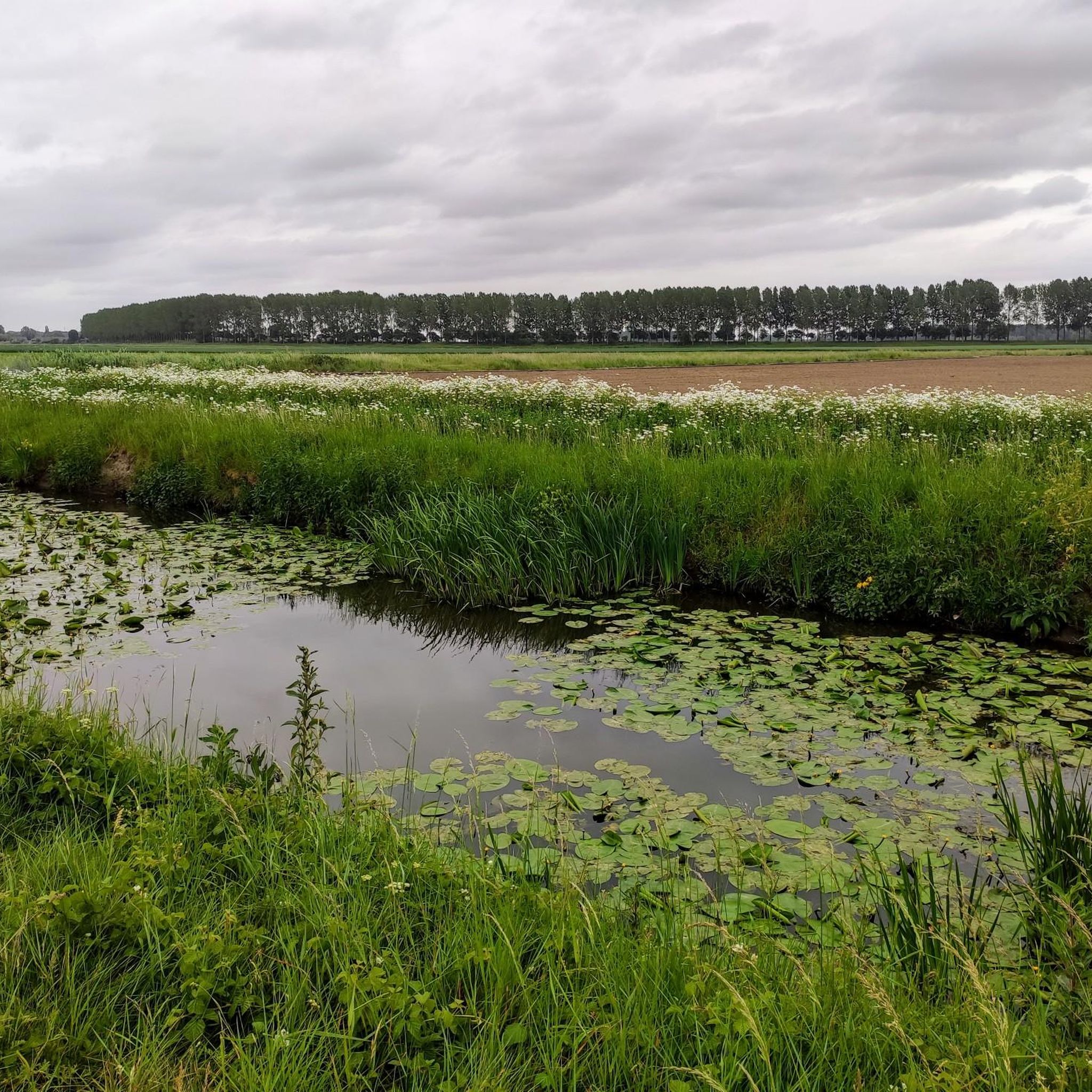
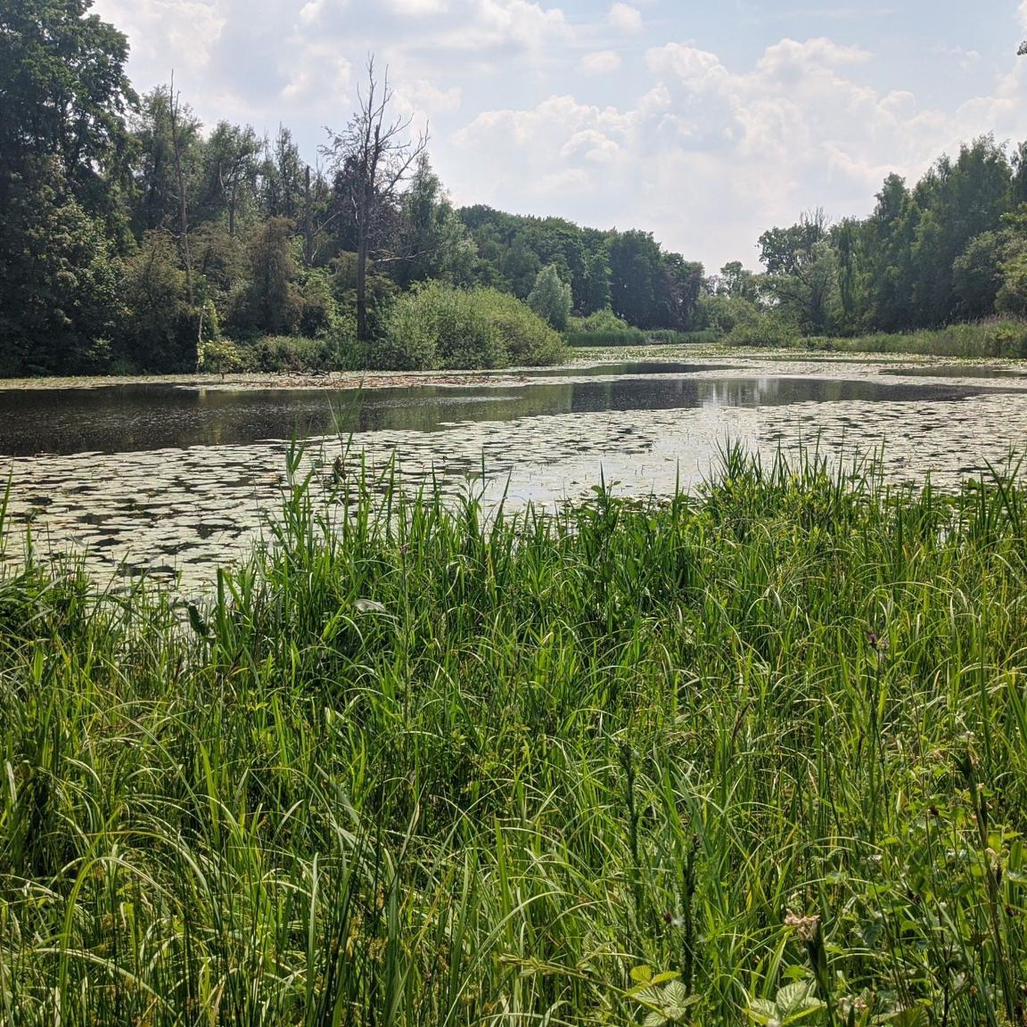
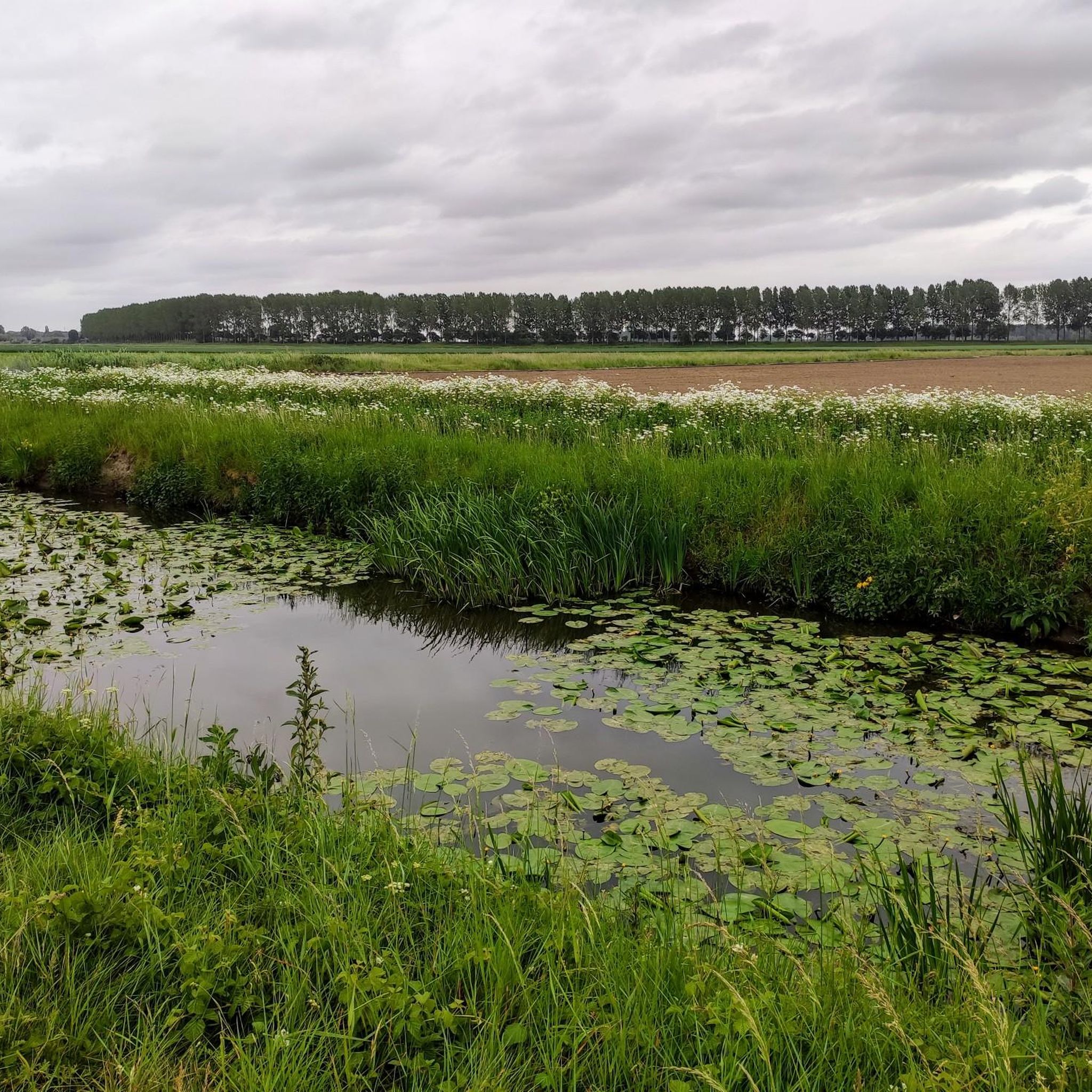
Het Groot Eiland has something mysterious about it — a place where water and land merge and nature truly runs its course. Creeks embrace the central, secluded area, giving the landscape an almost magical atmosphere. In the southeast, you'll find a quiet walking path that leads you to the so-called 8th Shortcut. A little further west, a pleasant surprise awaits: a bird hide from Staatsbosbeheer. From here, you have a panoramic view of the creeks, meadows, and forest edges — a perfect spot to pause and enjoy. With a bit of luck, you might see a buzzard or a marsh harrier soaring gracefully above the fields. In spring, it buzzes with life here: lapwings, curlews, and oystercatchers perform their courtship displays, while the song of reed warblers and perhaps even grasshopper warblers can be heard from the reeds. An ideal place for those who love tranquility, nature, and a touch of wonder.
5
0

"Bunt" is a disused synonym for "moor grass", a grass species that mainly occurs on heathlands, along fens, in blue grasslands, forests on acidic sandy soils, low and raised bogs and in dune valleys.
9
2
Just a fifteen minute walk from Lokeren station you are already in this 20 hectare nature reserve on the left bank of the Durme. It also merges into the spontaneously overgrown Verloren Bos with its remnants of drifting dunes.
5
0
The Hamputten is, in addition to the Molsbroek, the Hagemeersen and the Molsbergen, one of the four sub-areas of the 122-hectare Groot Molsbroek, in which an alternation of marsh, forest, reed fields, grasslands, river dunes and open water creates a mosaic of landscape types. This combination forms the ideal habitat for many plants and animals, including the bittern, which finds an ideal habitat here where it can hunt mice, fish, frogs and insects. This rare bird is present in the area every year, especially during the winter. But it is also (based on planned works in the management plan) designated as a breeding bird. This heron has a yellow-brown plumage with a dark brown pattern and is thus perfectly camouflaged to hide between the reeds. Source: information board on site
4
0

When you think of nature in Lokeren, you often think of the Groot Molsbroek. It is a fairly large nature reserve (122 hectares) by Flemish standards, with optimal accessibility. The walking dike offers a beautiful view of the diverse nature: an extensive marshland with numerous water birds, alder swamps, river dunes, reed fields and wet grasslands. On the walking dike you will find 8 information boards, 3 free to use fixed binoculars, a 24/7 information point, a viewing box with stereo slides, an insect garden with a barefoot path and in the winter a viewing wall at the winter feeding place.
7
0
The Buylaers is a nature reserve located on the river Durme, managed by vzw Durme, in the center of the Belgian city of Lokeren. The nature reserve consists mainly of marshy reed fields. Every year a pair of storks comes to breed on the stork pole.
6
0

Scottish Highlanders
1
0
Groot Eiland (not to be confused with Het Eiland) is an estate and a nature reserve in the municipality of Hulst in Zeeuws-Vlaanderen in the Netherlands. The Groot Eiland estate is privately owned. Groot Eiland consists of some agricultural land, a house, several creeks such as De Auwel, a large forest and a small forest. The small forest is located on a piece of land that is also called the Hulster Vlak. The estate is surrounded by a dike and is connected to the city of Hulst by the Oude Vaart. North of Groot Eiland are the former battery Luntershoek and the hamlet of Luntershoek of the same name. More information at https://nl.wikipedia.org/wiki/Groot_Eiland
6
0
Frequently Asked Questions
What types of water features can I expect to find around Sint-Gillis-Waas?
The Sint-Gillis-Waas and Waasland region is characterized by its unique polder landscapes, featuring a variety of natural water bodies. You'll find nature reserves with ponds, extensive marshy areas, and tranquil creeks. These environments are often influenced by the Scheldt and Durme rivers, creating diverse aquatic habitats.
Are there family-friendly natural areas with water around Sint-Gillis-Waas?
Yes, several areas are suitable for families. For instance, Along the former peat extraction area offers a narrow walking dike with beautiful views and information boards, making it engaging for all ages. Across the Hamputten also provides pleasant walking paths with views of ponds, and De Buylaers Nature Reserve is another family-friendly option, known for its birdwatching opportunities.
Where can I go for birdwatching near Sint-Gillis-Waas?
The region is excellent for birdwatching. De Buylaers Nature Reserve, located on the Durme river, is particularly known for its marshy reed fields and is a significant spot where storks breed annually. Along the former peat extraction area is also a bird paradise, with numerous water birds and a viewing wall for winter feeding. You might also spot buzzards, harriers, lapwings, and other species at Groot Eiland Nature Reserve.
What are some good places for walking or hiking around the lakes?
Many areas offer scenic walking paths. Across the Hamputten provides a very nice walking path with beautiful views of ponds. The Stropersbos and Panneweel Nature Reserves are considered 'crown jewels' for their varied terrain and excellent walking opportunities along wide creeks. For more hiking options, you can explore routes in the hiking guide for Sint-Gillis-Waas.
Are there any nature reserves worth visiting that feature water bodies?
Absolutely. Den Bunt Nature Reserve is an 18-hectare forest domain located at the confluence of the Scheldt and Durme rivers, offering a quiet wetland environment. De Buylaers Nature Reserve is another excellent choice, known for its marshy reed fields and birdlife. The Stropersbos and Panneweel Nature Reserves also feature extensive creeks and diverse ecosystems.
What kind of wildlife can I expect to see around the water features?
The diverse aquatic environments support a rich variety of wildlife, especially birds. You can expect to see numerous water birds, storks (at De Buylaers), buzzards, harriers, lapwings, black-tailed godwits, oystercatchers, and various warblers. The marshlands and reed fields also provide habitat for other animals like fish, frogs, and insects, which attract predators like the bittern in areas such as Groot Molsbroek.
Can I find cycling routes near the water features in Sint-Gillis-Waas?
Yes, the polder landscapes and dikes offer great opportunities for cycling. Many routes will take you along or near the various creeks and marshy areas. You can find several cycling routes, including easy and moderate options, in the cycling guide for Sint-Gillis-Waas.
What is the best time to visit the lakes and nature reserves?
The region's natural beauty can be enjoyed year-round. Spring and summer are ideal for observing breeding birds and lush greenery, while autumn offers beautiful colors. Winter can be a good time for birdwatching, especially for migratory species, and for peaceful walks. Always be mindful of recent rainfall, as some wetland areas like Den Bunt Nature Reserve can be wet.
Are there any unique geological or historical aspects related to the water features?
Yes, the polder areas, particularly those influenced by the tidal action of the Durme river, possess significant geological and archaeological value. They represent some of the best-preserved prehistoric landscapes in Northwestern Europe, offering a glimpse into the region's ancient past and the dynamic interplay of land and water over millennia.
What are the Kreken van Saleghem and are they worth visiting?
The Kreken van Saleghem (Saleghem Creeks) are tranquil water features that are a highlight in the polder landscape, especially around Meerdonk. They offer scenic routes for walking and appreciating the unique polder environment, making them well worth a visit for those seeking peaceful natural beauty.
What kind of terrain can I expect in the nature reserves with water?
The terrain varies, often featuring a mosaic of landscape types. You can expect marshlands, reed fields, wet grasslands, alder swamps, and open water. Some areas, like the Stropersbos, also include woodlands and open spaces. Walking paths can range from narrow dikes to forest trails, so comfortable footwear is recommended, especially after rain.
Most popular routes around Sint-Gillis-Waas
Most popular attractions around Sint-Gillis-Waas

Get inspired with the komoot mobile app


Explore more
Still not found your perfect lake around Sint-Gillis-Waas? Check out the guides of these regions to see even more beautiful places.
