The best MTB trails around Sint-Gillis-Waas
4.3
(54)
771
riders
239
rides
Mountain bike trails around Sint-Gillis-Waas offer a diverse environment for riders, characterized by varied landscapes and an extensive network of routes. The region features agricultural roads in the southern parts, forests in the northwest, and expansive polder landscapes in the northeast. Sint-Gillis-Waas boasts 55 km of marked mountain biking trails, which are part of a larger Waasland network providing over 380 km of interconnected routes.
Best mountain bike trails around Sint-Gillis-Waas
- The most popular mountain bike trail is Clingebos Forest…
Last updated: July 6, 2026
4.3
(12)
406
riders
61.1km
04:00
70m
70m
Moderate mountain bike ride. Good fitness required. Suitable for all skill levels.
4.2
(27)
423
riders
Moderate mountain bike ride. Good fitness required. Suitable for all skill levels.

Sign up for free
4.2
(17)
339
riders
Moderate mountain bike ride. Good fitness required. Advanced riding skills necessary.
3.3
(6)
83
riders
45.4km
03:07
50m
50m
Moderate mountain bike ride. Good fitness required. Suitable for all skill levels.
4.7
(6)
84
riders
50.3km
03:18
50m
50m
Moderate mountain bike ride. Good fitness required. Suitable for all skill levels.
Get access to more routes and recommendations from other explorers.
Sign up for free
Already have an account?
Our route recommendations are based on thousands of hikes, rides, and runs completed by other people on komoot.
Start today with a free account
Your next adventure awaits.
Login or Signup

Tips from the Community


The numbers of the border posts on the Belgian-Dutch border run upwards from border post number 1 at the Drielandenpunt in Vaals, to 369 near Retranchement. It's funny that neither the first nor the last post is actually on the border (the evolution of the Zwin is partly responsible for the last post). On almost all posts, the year 1843 is shown. Only in Zeeuws-Vlaanderen are there 7 border posts with a later year, which were placed after land reclamation. The posts are made of cast iron and weigh 372 kilograms. Each post is equipped with the Belgian Lion on the Belgian side and the Dutch Lion with sword and arrows on the other side. And each post has a number. The Belgian-Dutch border is 458 kilometers long. On average, the posts are therefore just over a kilometer apart. source: bestemmingbuitenlucht.nl/
2
0
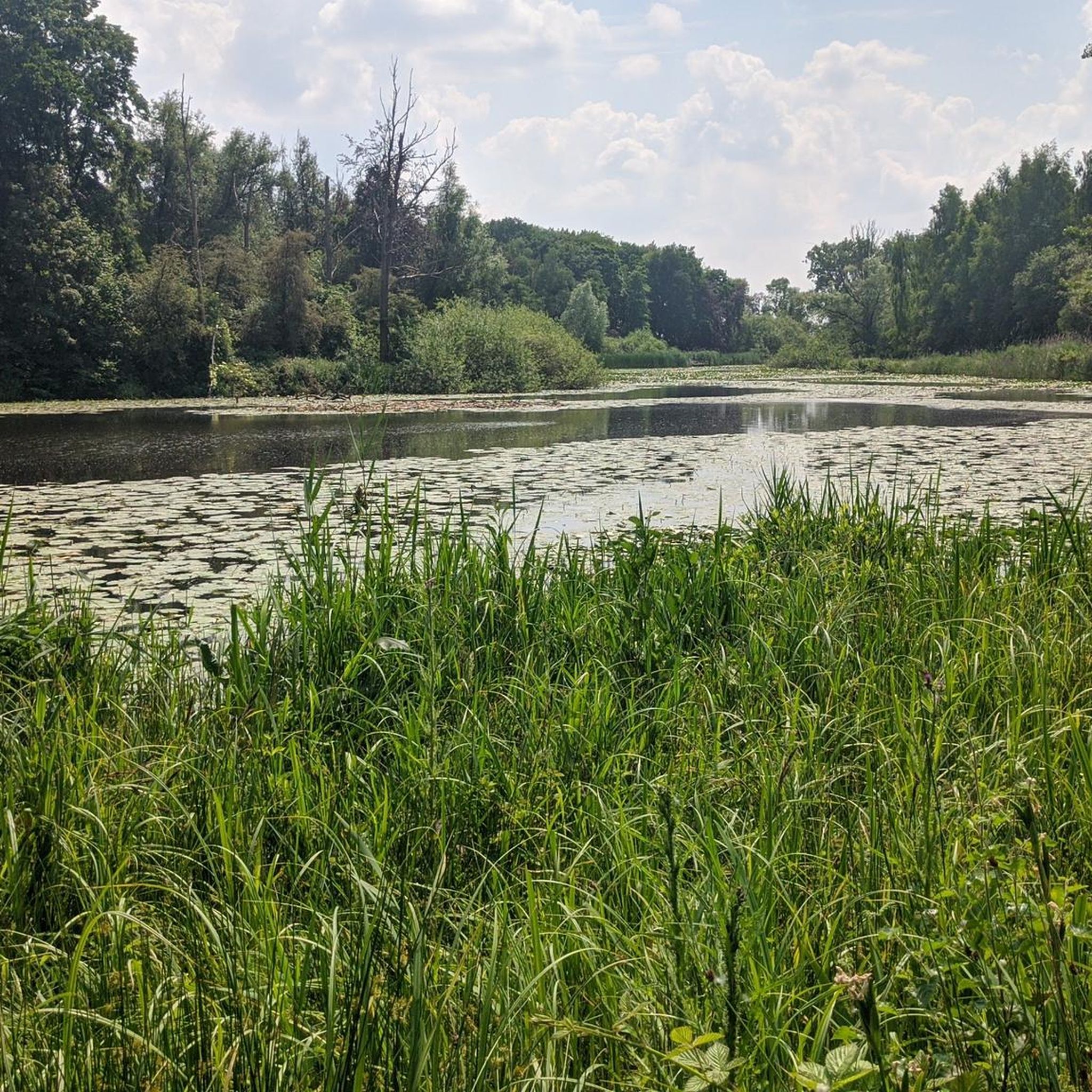
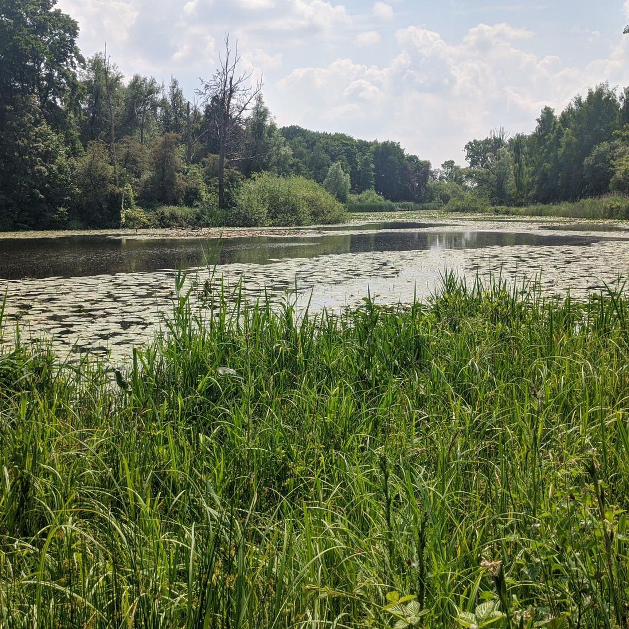
The creek area of Saleghem is more than the sum of its parts. The nature reserve consists of the Grote Saleghemgeul on one side, and the Sint-Jakobsgat and the Kieldrechtse Watergang on the other. This triumvirate of water creeks then flows into the Grote Geule in Kieldrecht. Each separately is beautiful, yes. But together they are magical. The succession of gently sloping banks, grassland and hay, rare birds and colourful flowers, rustling reeds and melancholic willows: it silences a person. It inspires awe for the magic of nature. And everyone can enjoy it – even wheelchair users, because there is a special wheelchair walk around the creek lakes. This is what waasland.be writes... and there is nothing to contradict it.
2
0
On an information board on site, the history of the Stekense Vaart can be read. It began as early as 1315. Count Robrecht III of Béthune then gave the order to dig a canal from Ghent to Hulst. In Stekene, this new 'waterway' turned marshes into arable land and increased export opportunities. In 1556, many fields in Stekene were submerged for a long time. King Philip II of Spain therefore granted a charter for a direct connection to the Durme. In 1628, King Philip IV gave permission to extend the Stekense Vaart by 1300 meters to Hulst. This connected the Vaart to the Westerschelde, which was advantageous for trade. Hulst could thus also be supplied with war materials. South of Moerbeke, between 1637 and 1643, a new canal was dug connecting the Stekense Vaart with the Moervaart. Ships sailing between Ghent and Stekene no longer had to make a detour via the Spelonckvaart. After the Eighty Years' War ended in 1648, the connection with the Westerschelde was broken. The economic benefit of the Vaart was lost. The Vaart was dammed at Tromp in 1691. In 1853, the municipality of Stekene became the owner of the Vaart on the condition that it also be responsible for maintenance. In 1950, the Vaart was declared unnavigable. Wastewater from Sint-Niklaas caused pollution and a strong stench, here at the Quay. In 1953, a cross dam was built in the Durme in Lokeren. The tidal effect on the Stekense Vaart was thus a thing of the past. In 1964, a water treatment plant was commissioned in Sint-Niklaas. This significantly improved the water quality in the Stekense Vaart. In 1995, a water treatment plant was also built in Stekene. In 1998, the area around the Vaart was classified as a quiet area.
2
0
The Wullebos is located on a former sand drift ridge and is 69 hectares in size. The name comes from "wulle", meaning "long-eared owl". The Abelebeek and Wullebosbeek streams run through the forest, both in a northerly direction. The Papdijk, built in 1691, also runs through the area. A checkerboard pattern of avenues is present both in the forest and in the agricultural area to its south. It indicates reclamation in the second half of the 18th century. The agricultural area was deforested in the course of the 19th century, preserving the checkerboard structure. The Baggaarthof is located in the area, around which numerous ghost stories circulate. source: Wikipedia
2
0

An ideal stopping point on your cycling or hiking experience: Step back in time and discover a hidden piece of history: Fort Sint-Jacob. This fascinating remnant from the Eighty Years' War takes you back to a period when borders were still fought over and waterways made the difference between safety and danger. Located on the Passageule, this fort once formed a crucial link between the Spanish Netherlands and the States' territories. As part of the impressive States-Spanish Lines, Fort Sint-Jacob guarded the border and held back enemy infiltrations from the north. After the Peace of Münster, the fort lost its military function and slowly faded into obscurity. Nature took over, until around 2010 it was restored with care and respect for the past. Today, you can once again experience the contours of the past, including a replica of a cannon that symbolises the struggle that was once waged here. But Fort Sint-Jacob is more than just history. It is a place where peace and nature meet. The ramparts and moats now form a unique landscape where special plants and animals feel at home, typical of the brackish Zeeland area. Whether you are walking or cycling, this is an ideal place to pause, enjoy, and let yourself be carried away by the past. Let yourself be surprised and experience Fort Sint-Jacob for yourself.
3
0
Information about the Stadsmolen This grain mill was built in 1750 for the city council of Axel according to specifications by Pieter Telle. Contractors were Pieter Paulus and Jan Hoelands. This mill was built on the site of a wooden city mill that burned down in 1747. Axel has a rich history, but unfortunately much has disappeared due to the urge for renewal. This mill was dismantled to its shell in 1911, after which a mechanical mill (with two pairs of millstones) was set up inside. Around 1980, the first plans for a complete restoration were made, but it took some time before more happened. In 1995, the municipality bought the mill from Mr. Misseghers (who had been operating the mill for years). In 1998, the large-scale restoration started. First, the masonry was carefully restored and in some places completely renewed. The next step was the new stage. In the autumn of 1999, the cap, windshaft, tail and gears were mounted. The pair of 17-inch millstones comes from the mill in Ossenisse; the 16-inch English millstones come from a mechanical mill in St. Jansteen. A very remarkable historical component in this otherwise largely new mill is the windshaft, the PvO no. 616. This was ordered in 1869 for the lower mill of the southern three-stage gang of the Driemanspolder in Stompwijk (near the present-day Leidschendam), but disappeared from there as early as 1877, when this gang was demolished and replaced by a steam pumping station. Before ending up in Axel more than 120 years later, this windshaft served two other mills. Source: https://www.molens.nl/ontdek-molens/alle-molens/stadsmolen-te-axel
6
0

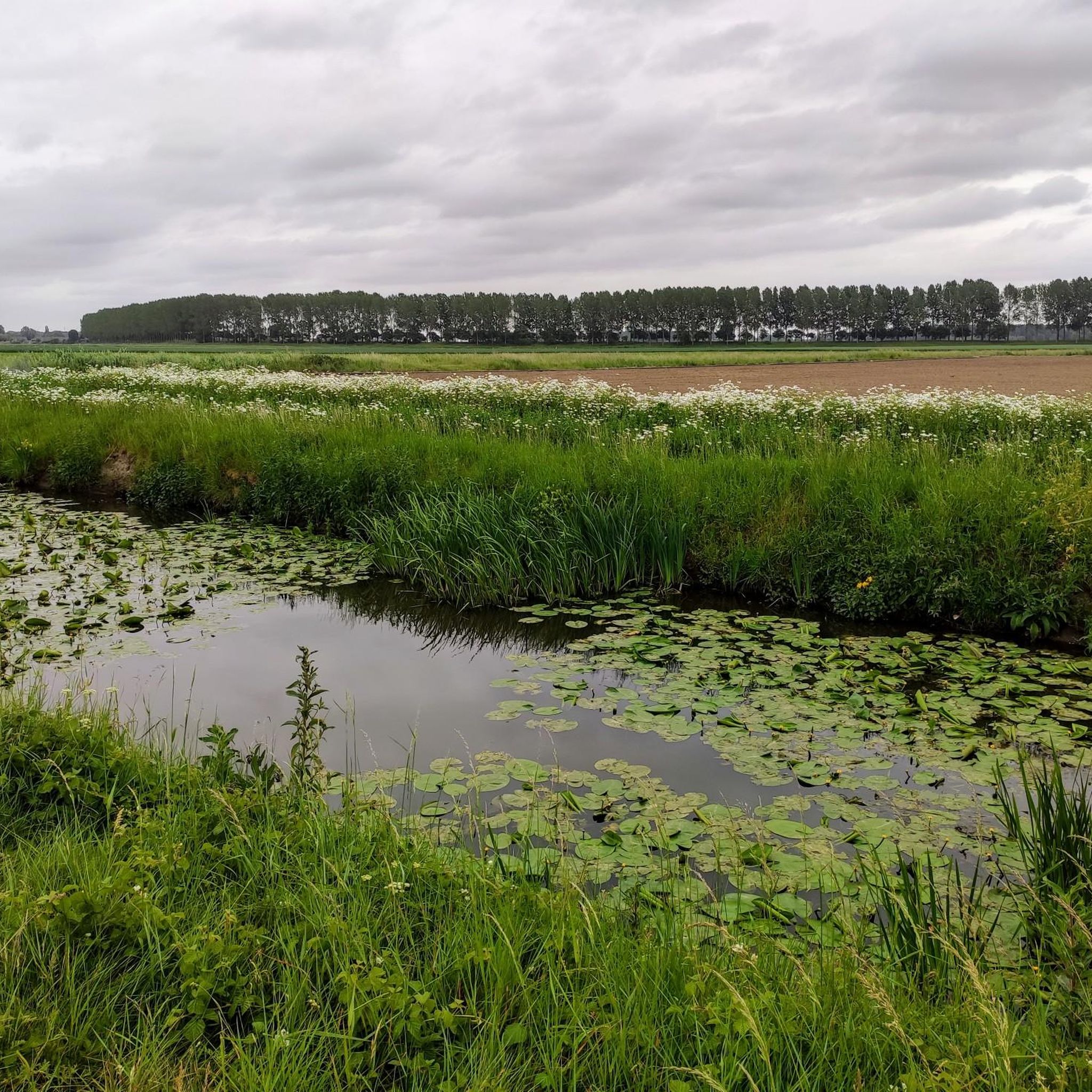
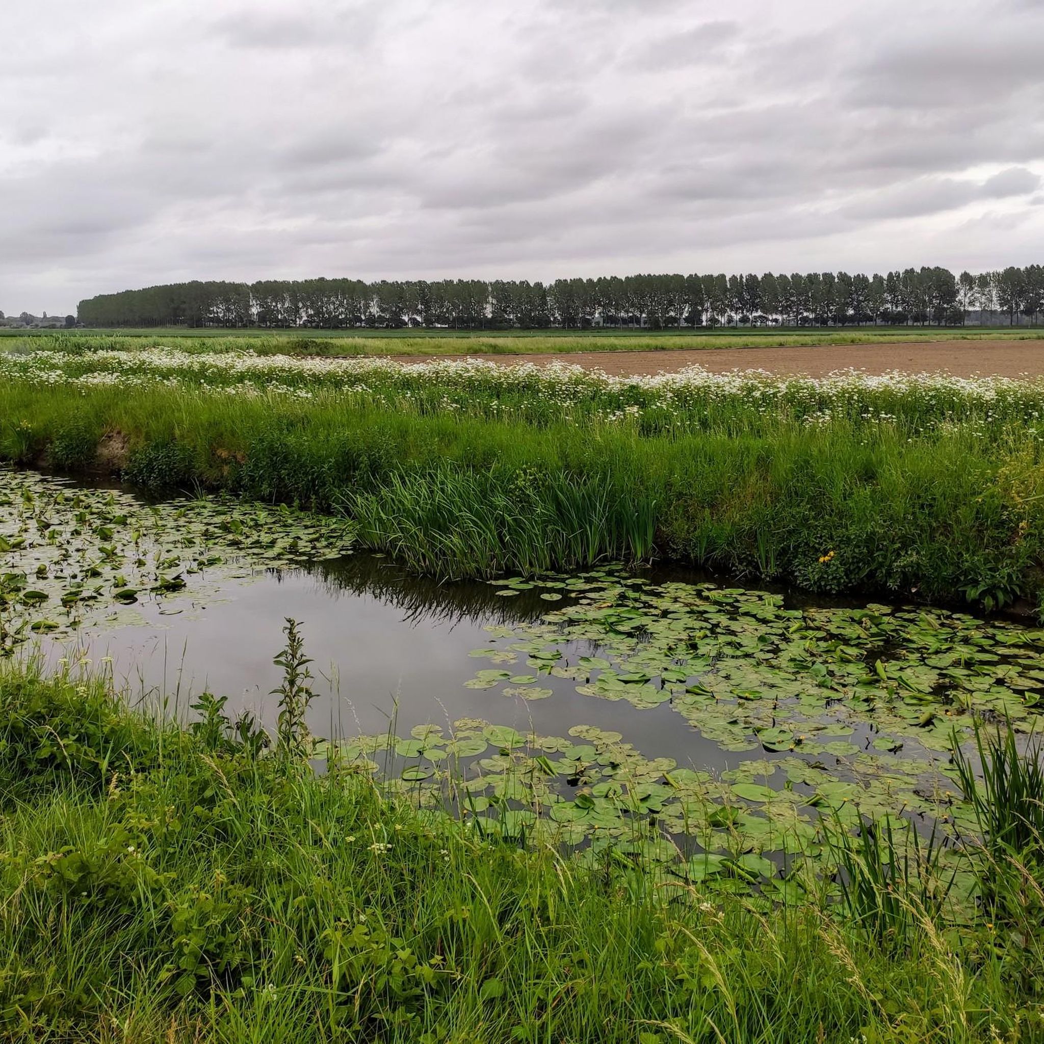
Beautiful cycle path between Hulst & Sint-Niklaas. Orchards alternate with meadows.
0
0
Frequently Asked Questions
How many mountain bike trails are available in Sint-Gillis-Waas?
Sint-Gillis-Waas offers a network of 55 km of marked mountain biking trails. These are part of a larger Waasland network, providing over 380 km of interconnected routes across neighboring municipalities. Within this guide, you'll find 18 curated mountain bike tours.
What kind of terrain can I expect on the mountain bike trails in Sint-Gillis-Waas?
The region features diverse terrain. You'll find agricultural roads in the southern parts, such as Sint-Pauwels and Sint-Gillis-Waas. The northwestern area, De Klinge, is known for its forests, while the northeastern section, Meerdonk, offers expansive polder landscapes. Some routes, like the Stiltepad Gravel Path – Hinnen Singletrack loop from De Klinge, include gravel paths and singletrack sections.
Are there mountain bike trails for different skill levels in Sint-Gillis-Waas?
Yes, the trails cater to various skill levels. While most routes in this guide are classified as moderate, the region also features a dedicated mountain bike funpark at the Houtvoort sports and recreation complex. This technical course includes obstacles with varying difficulty levels: green for basic, blue for challenging, and black for advanced riders, featuring jumps, drops, and steep descents.
What natural features and landmarks can I discover along the mountain bike trails?
You can explore a variety of natural and historical sites. The Trompkapel – MTB Playground loop from Sint-Gillis-Waas passes by the Stropersbos, a significant forest area. Other routes may lead you past the Roomanmolen, Flanders' tallest stone windmill, or Fort Bedmar. The region also features polder landscapes with green agrarian fields and various waterways.
Are there any historical sites or castles near the mountain bike routes?
Yes, the region has several historical points of interest. Fort Bedmar is located along the red mountain bike route. You can also find several castles nearby, such as Cortewalle Castle, Hof ter Saksen Castle, and Walburg Moated Castle, which are worth exploring.
When is the best time of year to go mountain biking in Sint-Gillis-Waas?
Sint-Gillis-Waas is enjoyable for mountain biking for much of the year. However, it's advisable to avoid certain routes, particularly those with muddy agricultural roads like parts of the Green route, during wet weather. Sunny winter days can be ideal for these routes when the ground is firmer.
Are there any family-friendly mountain bike options in Sint-Gillis-Waas?
While specific 'family-friendly' routes aren't explicitly highlighted, the diverse network includes easier sections and the mountain bike funpark at Houtvoort offers green-level obstacles suitable for basic skills, which could be a fun option for families. The overall flat terrain of many routes also makes them accessible.
What do other mountain bikers enjoy the most about mountain biking in Sint-Gillis-Waas?
The area is highly rated by the komoot community, with an average score of 4.3 stars from over 70 reviews. Reviewers often praise the varied terrain, from forests to polders, and the extensive, interconnected network of trails that offer diverse experiences.
Are there any circular mountain bike routes available?
Yes, many of the mountain bike routes in Sint-Gillis-Waas are designed as loops, offering circular experiences. Examples include the Clingebos Forest Path – Niemandsland Observation Tower loop from Nieuw Namen and the Clingebos Forest Path – Krekeltrail loop from Meerdonk, allowing you to start and end at the same point.
Is parking available near the mountain bike trails in Sint-Gillis-Waas?
While specific parking locations for all trails are not detailed, the Houtvoort sports and recreation complex, which hosts the mountain bike funpark, is a known facility in the area and likely offers parking options for visitors accessing the trails.
What is the longest mountain bike trail in this guide?
The longest mountain bike trail featured in this guide is the Stiltepad Gravel Path – Hinnen Singletrack loop from De Klinge, which covers a distance of 49.6 km (30.8 miles).
Are there any trails that pass through quiet or serene areas?
Yes, the Blue loop, mentioned in the regional research, follows an old railway route and extends into Dutch water catchment areas, featuring serene quiet zones. Similarly, the Stiltepad Gravel Path – Hinnen Singletrack loop from De Klinge is known for its quiet sections.
Most popular routes around Sint-Gillis-Waas
Most popular attractions around Sint-Gillis-Waas

Get inspired with the komoot mobile app


Explore more
Browse the best MTB trails in other regions.
