The best gravel rides around Sint-Gillis-Waas
4.2
(40)
725
riders
54
rides
Gravel biking around Sint-Gillis-Waas offers a network of routes through a predominantly flat landscape, characterized by forests, towpaths, and agricultural fields. The region's terrain is well-suited for gravel cycling, with minimal elevation changes. These trails provide access to natural areas and quiet paths, making them ideal for exploring the local environment.
Best gravel bike trails around Sint-Gillis-Waas
- The most popular gravel bike trail is Clingebos Forest Path – The Koningsdijk loop from Nieuw Namen, a 26.4 miles (42.5 km)…
Last updated: July 8, 2026
4.5
(8)
45
riders
45.9km
02:52
140m
140m
Moderate gravel ride. Good fitness required. Mostly paved surfaces. Suitable for all skill levels.
4.0
(4)
59
riders
Moderate gravel ride. Good fitness required. Mostly paved surfaces. Suitable for all skill levels.

Sign up for free
31
riders
51.1km
03:10
70m
70m
Hard gravel ride. Good fitness required. You may need to push your bike for some segments of this route.
50
riders
62.1km
03:48
70m
70m
Moderate gravel ride. Good fitness required. Mostly paved surfaces. Suitable for all skill levels.
4.2
(5)
56
riders
46.3km
02:35
50m
50m
Moderate gravel ride. Good fitness required. Mostly paved surfaces. Suitable for all skill levels.
Get access to more routes and recommendations from other explorers.
Sign up for free
Already have an account?
Our route recommendations are based on thousands of hikes, rides, and runs completed by other people on komoot.
Start today with a free account
Your next adventure awaits.
Login or Signup
Tips from the Community

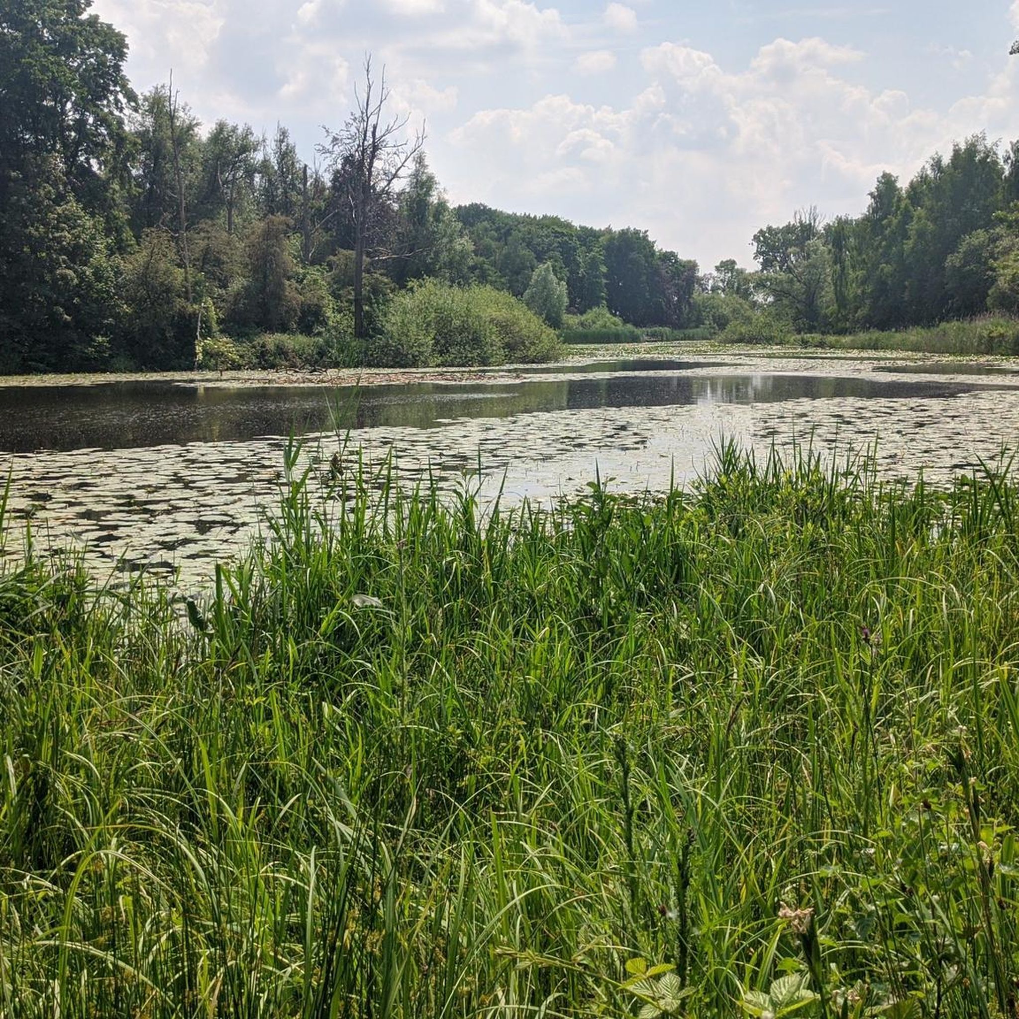
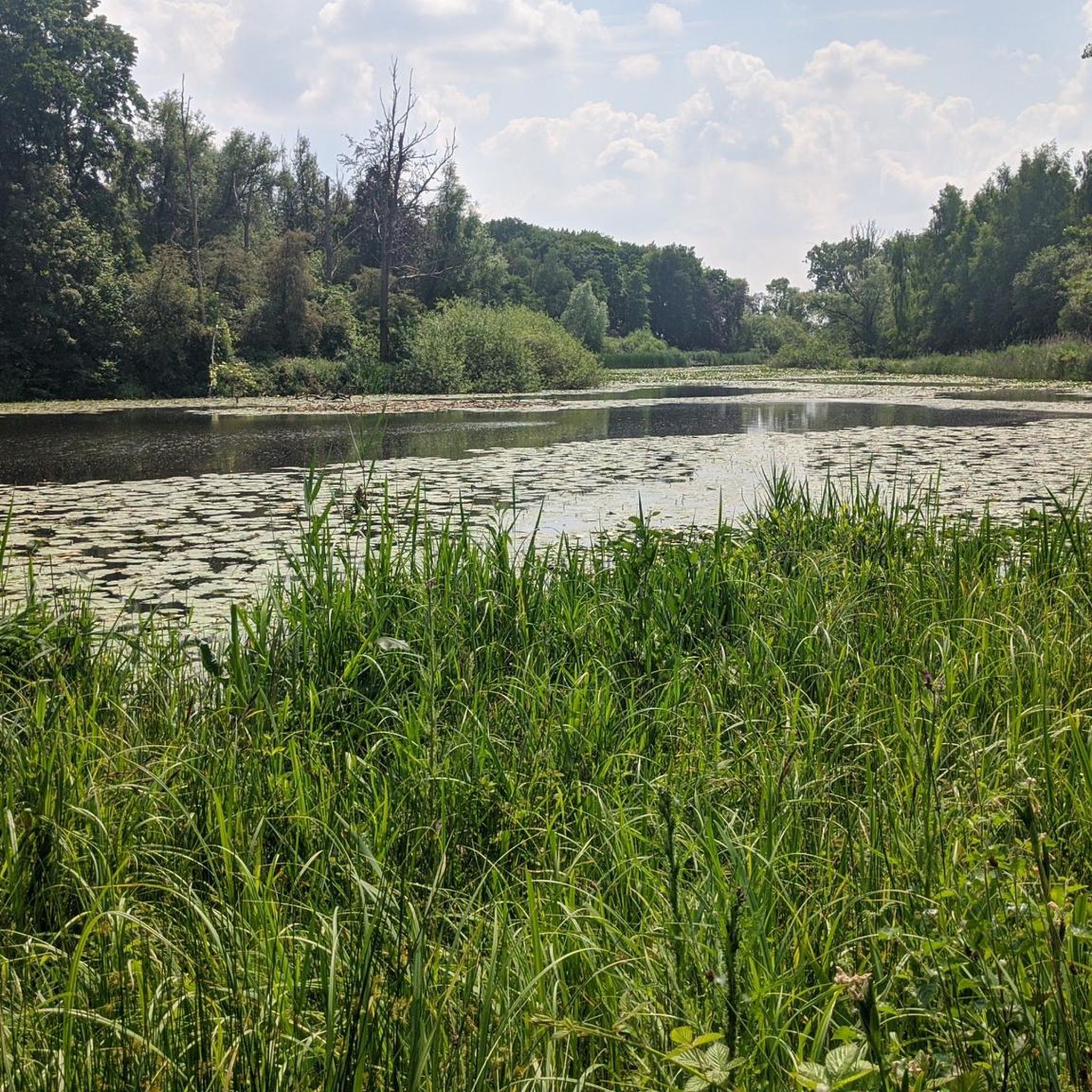
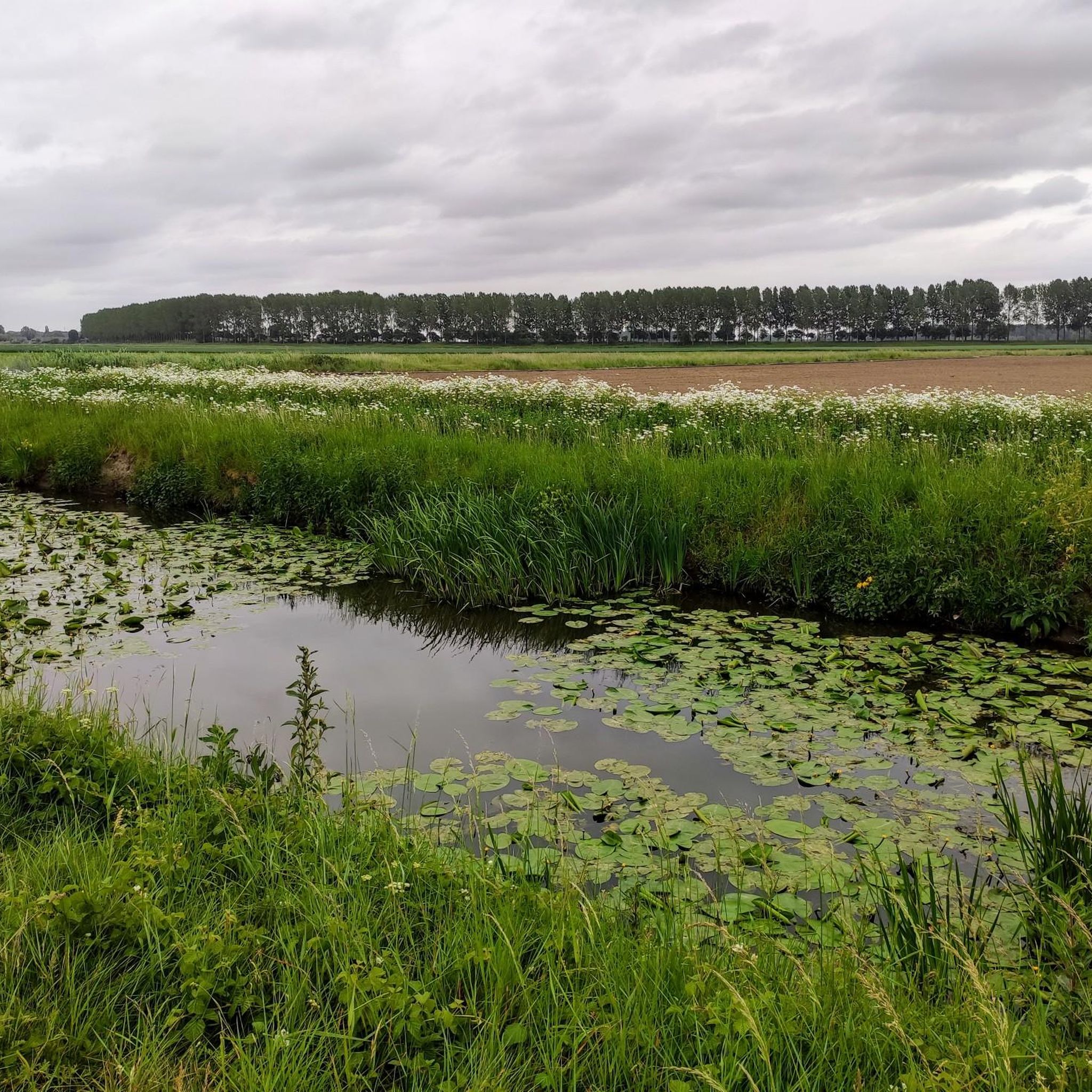
The creek area of Saleghem is more than the sum of its parts. The nature reserve consists of the Grote Saleghemgeul on one side, and the Sint-Jakobsgat and the Kieldrechtse Watergang on the other. This triumvirate of water creeks then flows into the Grote Geule in Kieldrecht. Each separately is beautiful, yes. But together they are magical. The succession of gently sloping banks, grassland and hay, rare birds and colourful flowers, rustling reeds and melancholic willows: it silences a person. It inspires awe for the magic of nature. And everyone can enjoy it – even wheelchair users, because there is a special wheelchair walk around the creek lakes. This is what waasland.be writes... and there is nothing to contradict it.
2
0
De Kouterwegel was the very first to win the Grage Weg Award, an initiative by the Province of Oost-Vlaanderen, which aims to reward inspiring slow roads that people not only use functionally, but which also invite an experience. De Kouterwegel is part of the Kaboutermolenpad, a special route that distinguishes itself through its pronounced experiential value, according to the award jury, an example of how slow roads can entice people to consciously choose a detour, purely for the sake of the experience. After all, a slow road is more than just a connection between two points. It is a place that stimulates one or more senses, that connects with the environment and that attracts users through its unique character. The Kaboutermolenpad - Kouterwegel succeeds in this, according to the jury, with flying colours. Along the path, playful gnome figures create wonder for young and old. Visitors can stop at a chapel that invites rest and connection, or enjoy a break at a nearby café. The unpaved path is simultaneously barrier-free and accessible to everyone, and is clearly signposted. The route winds through a varied and quiet landscape, where a rich palette of scents and colours constantly stimulates the senses. This is what can be read on pers.oost-vlaanderen.be... a recognisable report, but during my passage I thought: I hope that the prize money from the Grage Weg 2026 will be used to restore the gnome figures, which here and there are in considerable need of repair or beautification.
1
0
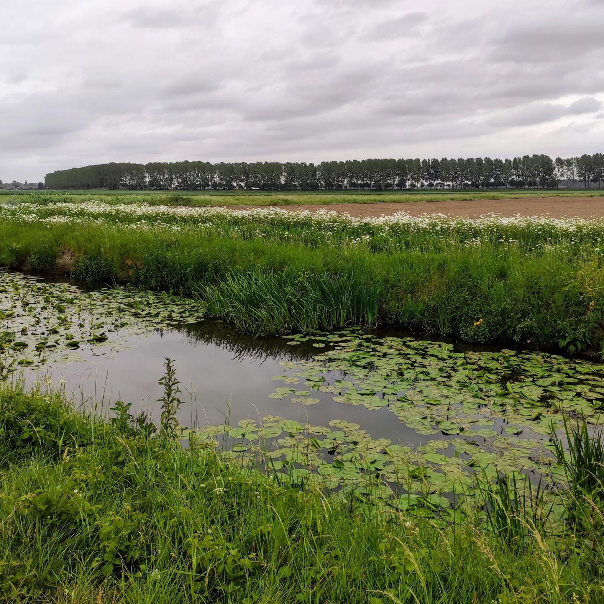
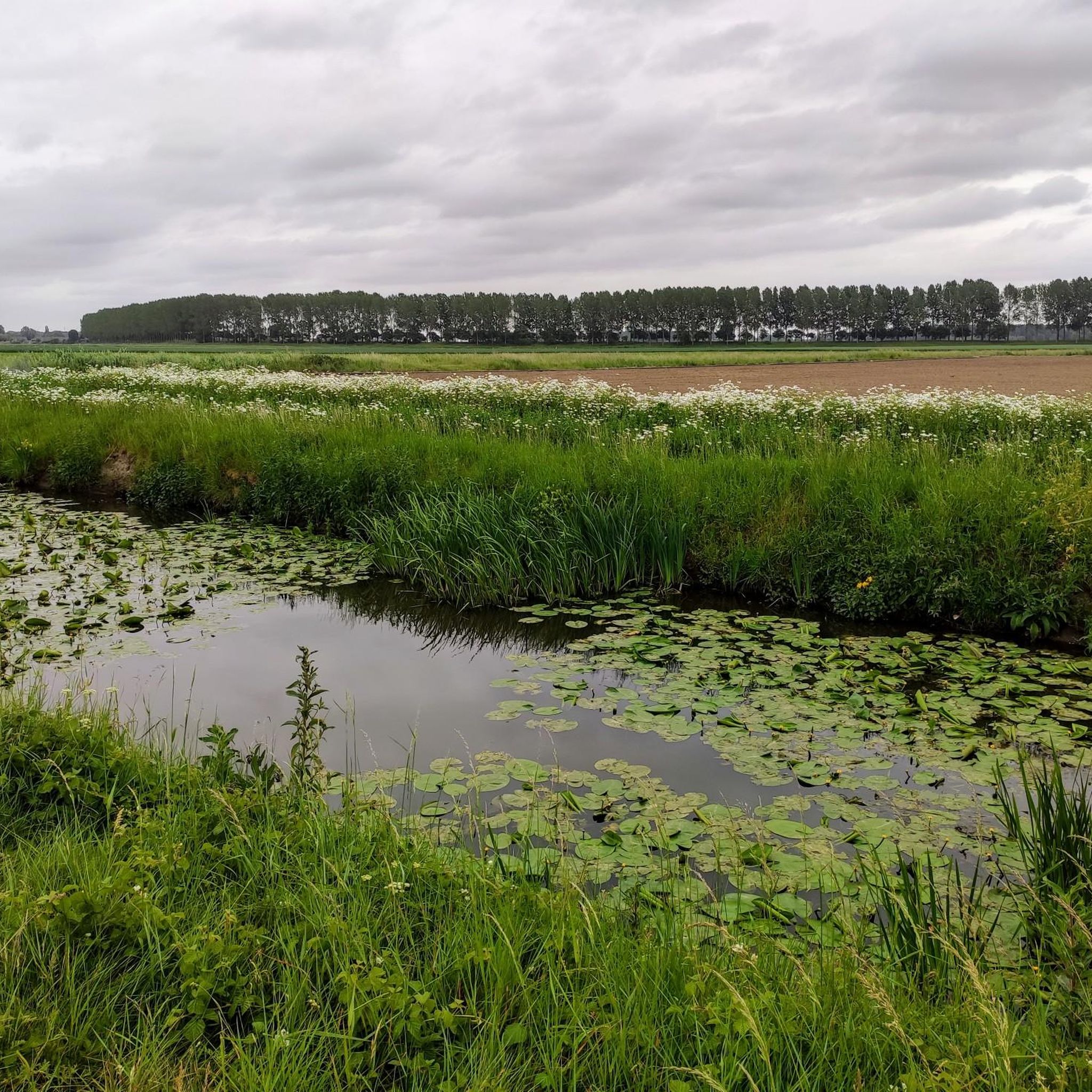
The Molenbeek forms part of the northern border of the municipality of Sint-Niklaas with the municipalities of Sint-Gillis-Waas and Stekene. Hydrographically, the Molenbeek belongs to the basin of the Gentse Kanalen. Previously, the Molenbeek originated in the center of Sint-Niklaas, at the site where the Romain De Vidtspark is now located. Nowadays, the stream flows through the entire Sint-Niklaas center from south to north in culverts, to re-emerge on the surface at the edge of Belsele and then flow through Sinaai until it flows into the Stekense Vaart. From that confluence, a path follows the banks of the stream for a considerable distance.
2
0

On this segment, you will get to know the Stropersbos. A bench awaits you at the heathland restoration area. About the Stropersbos: the Stropersbos is a must-see natural gem with its stately avenues, valuable alder swamp forests, open spaces with heathland, and its large grazers! Together with the adjacent green areas, the Stropersbos forms one of the largest forest and nature complexes in East Flanders. Numerous walking and cycling opportunities allow visitors to discover the Stropersbos.
5
1

single track that requires concentration
0
1

Very well-developed cycle path
0
0


A fun technical piece. Especially for younger guys/girls, it's fun to show off their technique on all sorts of bumps, hills, etc.
0
0
Frequently Asked Questions
How many gravel bike trails are available in Sint-Gillis-Waas?
Sint-Gillis-Waas offers a diverse network of nearly 70 gravel bike trails. This includes 13 easy routes, 42 moderate routes, and 14 more challenging options, catering to various skill levels.
Are there easy or beginner-friendly gravel bike trails in Sint-Gillis-Waas?
Yes, Sint-Gillis-Waas is well-suited for beginners, with 13 easy routes available. The region's predominantly flat landscape, characterized by quiet towpaths and forest paths, makes it ideal for those new to gravel biking. Many routes have minimal elevation changes, providing a comfortable ride.
Can I find family-friendly gravel biking routes in Sint-Gillis-Waas?
Absolutely. The flat terrain and numerous quiet paths, including towpaths and forest trails, make Sint-Gillis-Waas a great destination for family-friendly gravel biking. These routes often avoid heavy traffic, offering a safe and enjoyable experience for all ages.
Are there circular gravel bike routes available?
Many of the gravel bike routes in Sint-Gillis-Waas are designed as loops, allowing you to start and end at the same point. For example, the Great Saleghem Channel – Trompkapel loop from De Klinge is a moderate 39 km circular route that takes you through varied landscapes.
What kind of viewpoints or interesting landmarks can I expect along the trails?
While gravel biking in Sint-Gillis-Waas, you can encounter various points of interest. Keep an eye out for structures like the Temse Scheldt Bridge or the Mira Bridge. Natural highlights include areas like the Heather Stropersbos, offering scenic views of the local flora.
Are there any challenging or advanced gravel bike routes?
Yes, for experienced riders, there are 14 difficult routes. These often incorporate more technical sections, such as the singletrack near Puivelde. The Singletrack Near Puivelde – Long narrow gravel path loop from Sint-Niklaas is a moderate 57.8 km route featuring long, narrow gravel sections and singletrack.
What is the best time of year for gravel biking in Sint-Gillis-Waas?
The region is generally enjoyable for gravel biking throughout the year, thanks to its relatively mild climate and flat terrain. Spring and autumn offer pleasant temperatures and beautiful scenery. Even in winter, many routes remain accessible, though some paths might be muddier, especially after heavy rain.
Are there dog-friendly gravel trails in Sint-Gillis-Waas?
Many of the gravel trails, particularly those through forests and along towpaths, are suitable for cycling with dogs, provided they are well-behaved and kept on a leash where required. Always check local regulations and be mindful of other trail users and wildlife.
Are there cafes or refreshment stops along the gravel routes?
While specific cafes directly on every route are not guaranteed, many routes pass through or near villages where you can find places to stop for refreshments. The Koolputten is an example of a restaurant highlight in the area that could serve as a stop.
Where can I park my car when starting a gravel bike tour?
Parking availability varies by starting point. Many routes begin near towns or villages where public parking is often available. For routes starting from natural areas, look for designated parking lots or roadside parking options. It's advisable to check the specific tour details on komoot for recommended starting points and parking information.
What do other gravel bikers enjoy most about Sint-Gillis-Waas?
The komoot community highly rates the gravel biking experience in Sint-Gillis-Waas, with an average score of 4.4 stars from over 30 reviews. Riders frequently praise the region's quiet, varied terrain, which includes peaceful forest paths, scenic towpaths, and open agricultural landscapes, offering a refreshing escape into nature.
Are there any less crowded or 'hidden gem' gravel routes?
While popular routes like the Moervaart Towpath – Liniewegel Singletrack loop from Sint Jansteen are well-loved, the extensive network of trails means you can often find quieter paths. Exploring routes slightly off the main popular trails, especially during weekdays, can lead you to less crowded sections and offer a more secluded experience.
Most popular routes around Sint-Gillis-Waas
Most popular attractions around Sint-Gillis-Waas

Get inspired with the komoot mobile app


Explore more
Browse the best Gravel rides in other regions.
