The best gravel rides in Gachancipá
5.0
(5)
38
riders
4
rides
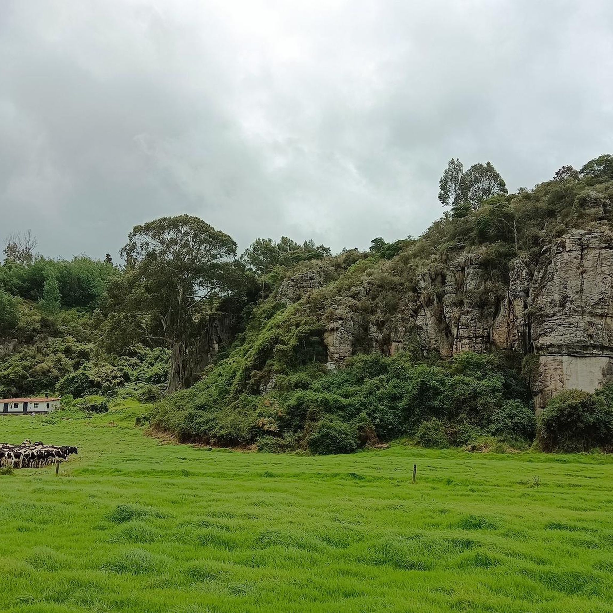
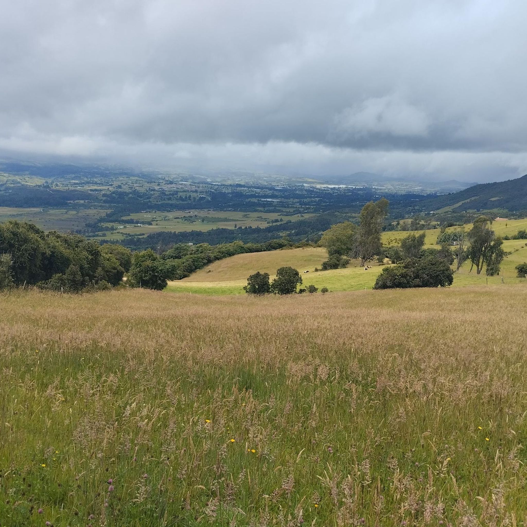
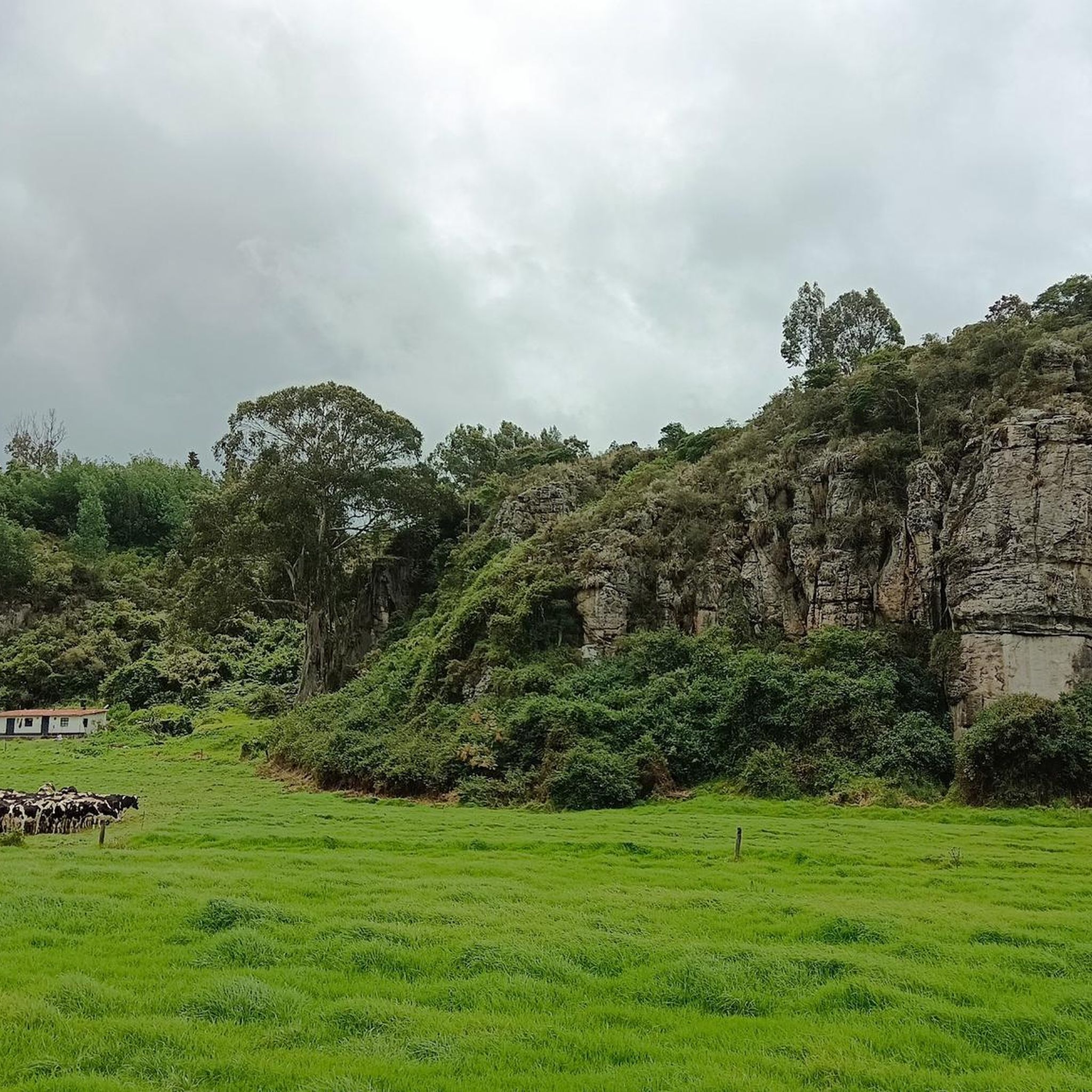
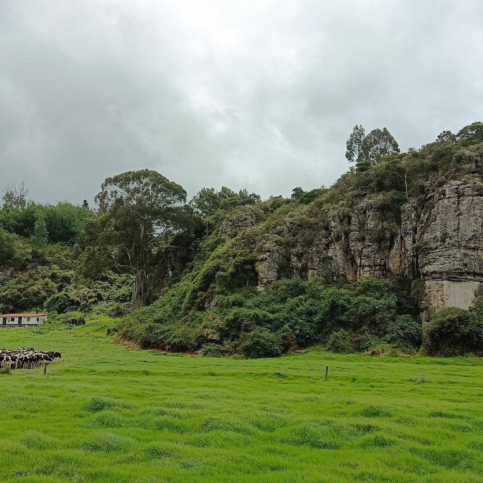
Gravel biking in Gachancipá offers diverse landscapes and varied terrain, making it a notable destination for cyclists. The region features green spaces, native vegetation, and areas with varied topography, including some steep sections. Numerous streams, some with waterfalls, contribute to the natural scenery, which is further enhanced by flower cultivations. Routes in Gachancipá often combine paved and unpaved surfaces, providing the mixed terrain sought by gravel cyclists.
Best gravel bike trails in Gachancipá
- The most popular gravel bike trail is…
Last updated: July 9, 2026
5.0
(2)
12
riders
88.4km
07:43
2,470m
2,470m
Hard gravel ride. Very good fitness required. Mostly paved surfaces. Suitable for all skill levels.
5.0
(1)
9
riders
36.4km
03:16
1,160m
1,160m
Hard gravel ride. Very good fitness required. Mostly paved surfaces. Suitable for all skill levels.

Sign up for free
5.0
(2)
8
riders
47.7km
04:02
1,320m
1,320m
Hard gravel ride. Very good fitness required. Mostly paved surfaces. Suitable for all skill levels.
9
riders
61.4km
05:25
1,690m
1,690m
Hard gravel ride. Very good fitness required. Mostly paved surfaces. Suitable for all skill levels.
Our route recommendations are based on thousands of hikes, rides, and runs completed by other people on komoot.
Start today with a free account
Your next adventure awaits.
Login or Signup

Tips from the Community

A challenging climb with gradients of up to 20%, mostly on compacted gravel. Alternatively, there's a less steep paved road. Komoot just needs to suggest it as a route ;)
0
0

Easy port, what happens is that you have to take into account the round trip to Guatavita
0
0

Detour going up to Alto de la Avena. 2.8km at 6% average. Poor quality asphalt full of holes, high crust that connects with a series of trails to Guasca and Guatavita (lagoon).
0
0

Great ride with my mates. The downhill in Montenquiva deserves respect. A friend fell and broke his clavicule. Apart from that incident the ride was awesome, the landscape breathtaking
0
0
Route to go out on Saturday, to have breakfast watching the dam, in Guatavita, and if you want it easy, go back along the highway, without eagerness.
0
0
Port with a manageable slope, it becomes hard at the end due to the altitude (3,500 meters) and the wind in the last km. Very cold up, and on the way down, I suggest a good jacket and FULL FINGER gloves.
0
0


paramos are simply great. you do not need a special reason to visit them
0
0
Frequently Asked Questions
What kind of terrain can I expect on gravel bike trails in Gachancipá?
Gachancipá offers diverse landscapes with varied topography, including green spaces, native vegetation, and some steep sections. You'll encounter a mix of paved and unpaved surfaces, with many routes featuring challenging climbs and endless dirt roads. The region is known for its natural beauty, including streams and flower cultivations, providing a picturesque backdrop for your ride.
Are there any beginner-friendly or family-friendly gravel bike routes in Gachancipá?
The gravel biking routes in Gachancipá are generally considered challenging and are primarily suitable for experienced gravel bikers. All currently listed routes on komoot are rated as 'difficult,' featuring significant elevation gains and distances. Therefore, they might not be ideal for beginners or families with young children looking for an easy ride.
What natural features or viewpoints can I discover along the gravel routes?
Gachancipá's gravel routes often lead through areas with stunning natural features and offer panoramic viewpoints. You can expect to see green spaces, native vegetation, and streams, some of which boast waterfalls. Several routes provide views towards significant bodies of water like Lake Guatavita and the Tominé Reservoir. The region's flower cultivations also add to the picturesque scenery.
Are there any circular gravel bike routes available in Gachancipá?
Yes, many of the gravel bike routes in Gachancipá are designed as loops, allowing you to start and end your ride in the same location. For example, the challenging Alto de La Cuchilla – Páramo Landscape loop from Parada and the Climb to Lake Guatavita – Alto de la Avena loop from Parada are popular circular options.
What do other gravel bikers enjoy most about Gachancipá?
The komoot community highly rates gravel biking in Gachancipá, with an average score of 5.0 stars from 5 reviews. Over 40 gravel bikers have explored the area, often praising the varied terrain, challenging climbs, and breathtaking mountain landscapes. The combination of dirt roads and scenic views makes it a rewarding destination for experienced cyclists.
What are some notable attractions or landmarks near the gravel trails?
Beyond the trails, Gachancipá offers cultural attractions. You can find well-preserved colonial architecture, including churches and chapels. The Sesquilé Town Square and the nearby town of Sesquilé are points of interest. The Chapel of Santa Bárbara, perched atop a mountain, also offers significant views over the town. For natural sights, the Tominé Reservoir and Lake Guatavita are prominent features in the region.
Is there parking available near the gravel bike trailheads in Gachancipá?
While specific parking facilities for each trailhead are not detailed, Gachancipá is recognized for 'biciturismo,' suggesting an infrastructure that supports cycling visitors. Many routes start from locations like 'Parada' or 'Vereda Montecillo,' which are common starting points for outdoor activities. It is advisable to check local information or community forums for specific parking recommendations for your chosen route.
What is the best time of year to go gravel biking in Gachancipá?
Gachancipá, being close to Bogotá, generally experiences a mild climate year-round. However, the region can have varying weather conditions, including periods of rain. For the most comfortable riding experience, consider visiting during the drier seasons. Always check the local weather forecast before heading out, especially given the varied topography and potential for challenging trail conditions.
Are there any routes that offer views of the Tominé Reservoir?
Yes, there are routes that provide scenic views of the Tominé Reservoir. For instance, the challenging Desserts Ice Cream Shop, Guatavita – View of Tominé Reservoir loop from Vereda Montecillo is a popular option that includes these picturesque vistas.
Can I bring my dog on the gravel bike trails in Gachancipá?
While specific regulations for dogs on all gravel trails are not universally stated, many natural areas in Colombia welcome well-behaved dogs on a leash. If you plan to bring your dog, ensure they are accustomed to long rides and challenging terrain. One route, the Santa Rosita – Sleepy Dogs loop from Estacion Sesquilé, even has a playful name suggesting a dog-friendly atmosphere, but always confirm local guidelines for specific areas.
How many gravel bike trails are available in Gachancipá?
There are currently 5 gravel bike trails listed on komoot for Gachancipá. These routes offer a range of challenging experiences for gravel cyclists, with varied distances and significant elevation changes.
Are there places to eat or stay near the gravel biking routes?
Gachancipá is a municipality with rural charm, and while specific cafes or restaurants directly on every trail are not guaranteed, the town center and surrounding areas offer options for food and accommodation. Given its recognition for 'biciturismo,' you can expect to find services catering to visitors. It's a good idea to plan your stops in advance, especially for longer rides.
Most popular attractions in Gachancipá

Get inspired with the komoot mobile app


Explore more
Browse the best Gravel rides in other regions.
