The best walks and hikes in Gachancipá
4.8
(22)
67
hikers
10
hikes
Hiking trails in Gachancipá often feature scenic viewpoints overlooking Embalse de Tominé, a prominent reservoir in the region. The landscape is characterized by rolling hills and varied terrain, with routes leading through rural areas and near significant landmarks like the Nemocón Salt Mine. Many circular hiking routes in Gachancipá offer diverse experiences, from moderate climbs to more challenging ascents.
Best hiking trails in Gachancipá
- The most popular hiking route is The Gate of Heaven – View of Embalse de Tominé…
Last updated: July 4, 2026
8
hikers
15.1km
04:42
580m
580m
Moderate hike. Good fitness required. Easily-accessible paths. Suitable for all skill levels.
8
hikers
11.1km
04:44
730m
730m
Moderate hike. Good fitness required. Mostly accessible paths. Sure-footedness required.

Sign up for free
5.0
(3)
6
hikers
7.34km
02:08
190m
190m
Moderate hike. Good fitness required. Easily-accessible paths. Suitable for all skill levels.
2
hikers
20.2km
06:52
950m
950m
Hard hike. Very good fitness required. Mostly accessible paths. Sure-footedness required.
5.0
(1)
3
hikers
16.1km
04:58
540m
540m
Moderate hike. Good fitness required. Easily-accessible paths. Suitable for all skill levels.
Get access to more routes and recommendations from other explorers.
Sign up for free
Already have an account?
Our route recommendations are based on thousands of hikes, rides, and runs completed by other people on komoot.
Start today with a free account
Your next adventure awaits.
Login or Signup
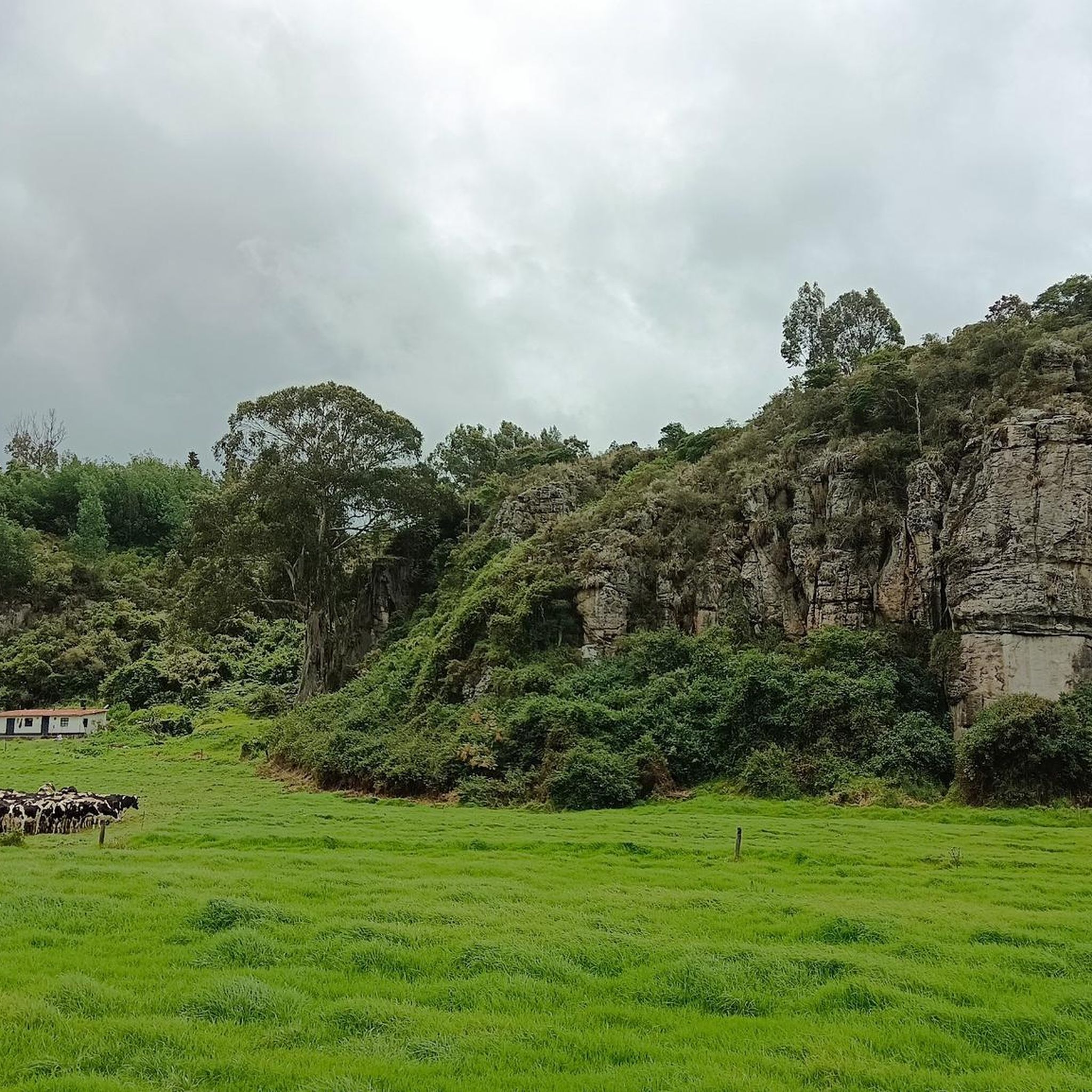

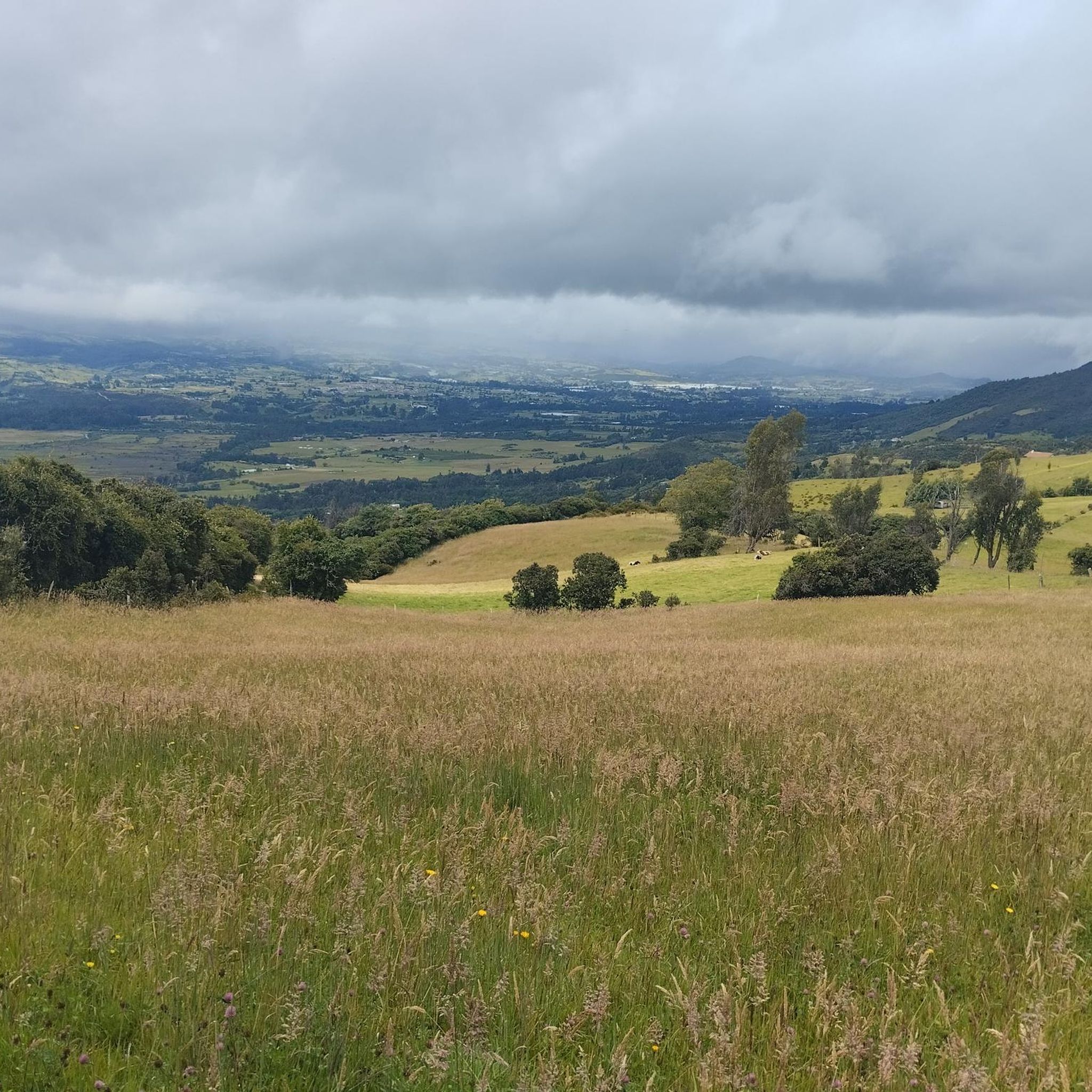
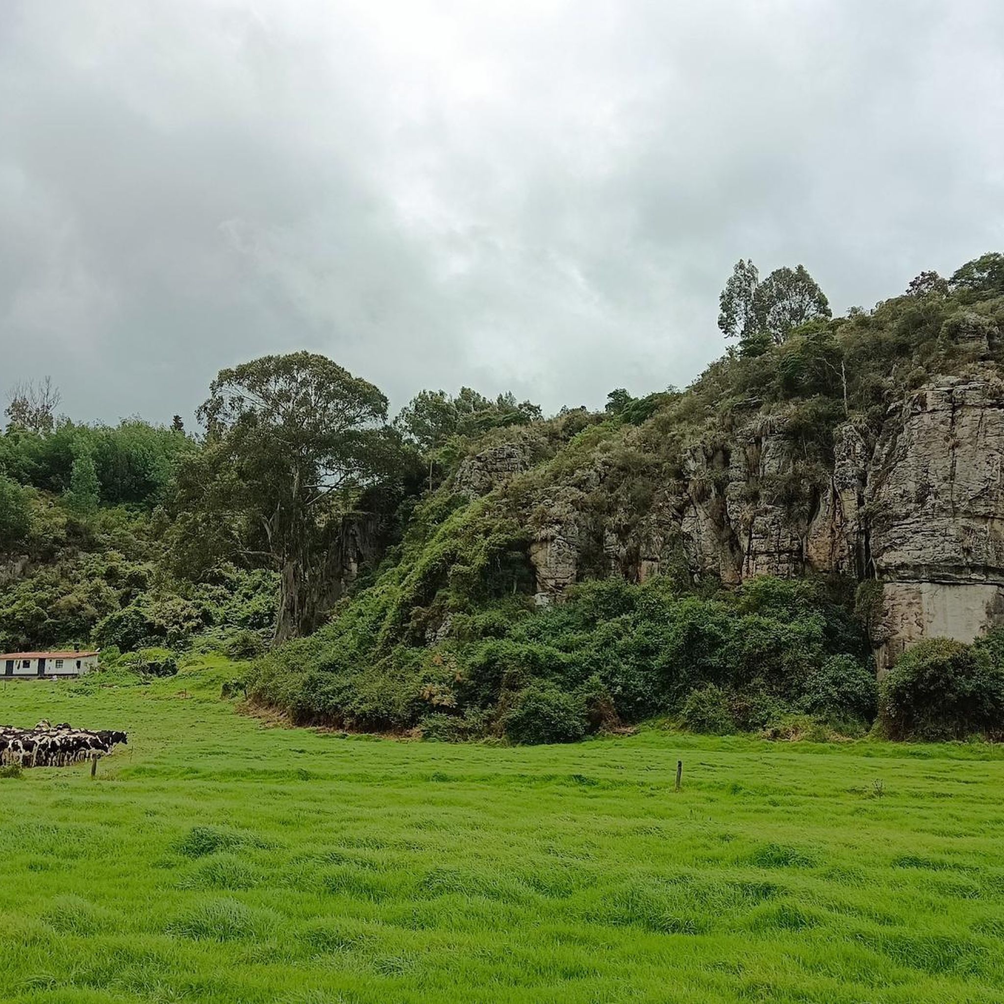

Tips from the Community


Frequently Asked Questions
Are there easy hiking trails suitable for beginners in Gachancipá?
Yes, Gachancipá offers one easy hiking route. While most trails are moderate, beginners can find suitable options to enjoy the region's scenery. For a gentle introduction, consider exploring the areas around the Tominé Reservoir.
What is the typical length and duration of hiking trails in Gachancipá?
Hiking trails in Gachancipá vary in length and duration. You'll find routes ranging from about 4.5 miles (7.3 km) taking around 2 hours, such as the Nemocón Salt Mine loop from Estación Nemocon, up to more challenging options like the View of Embalse de Tominé loop from Vereda Montecillo, which is over 12 miles (20 km) and can take nearly 7 hours.
Are there circular hiking routes available in Gachancipá?
Yes, Gachancipá is known for its circular hiking routes, offering diverse experiences without retracing your steps. Many trails, like The Gate of Heaven – View of Embalse de Tominé loop from Guatavita, are designed as loops, allowing you to explore different facets of the landscape.
What kind of scenery can I expect on hikes in Gachancipá?
Hikers in Gachancipá can expect diverse scenery, primarily characterized by rolling hills and varied terrain. Many routes offer expansive views of the Embalse de Tominé, and you'll often pass through rural areas and near significant landmarks like the Nemocón Salt Mine.
What are some interesting landmarks or attractions to see along the hiking trails in Gachancipá?
Along the hiking trails in Gachancipá, you can explore several interesting landmarks. The Tominé Reservoir is a prominent feature, offering scenic views. You might also encounter the historic Nemocón Salt Mine or pass through charming areas like Sesquilé and its town square.
What do other hikers enjoy most about hiking in Gachancipá?
The komoot community highly rates hiking in Gachancipá, with an average score of 4.7 stars from over 20 reviews. Hikers often praise the stunning reservoir views, the varied terrain, and the opportunity to explore rural paths and significant landmarks like the Nemocón Salt Mine.
Are there any difficult or challenging hikes in Gachancipá?
Yes, Gachancipá offers one difficult hiking route for those seeking a greater challenge. This trail, such as the View of Embalse de Tominé loop from Vereda Montecillo, typically involves more significant elevation gains and longer distances, providing a rewarding experience for experienced hikers.
When is the best time of year to go hiking in Gachancipá?
Gachancipá generally experiences a mild climate year-round due to its altitude. However, the dry seasons, typically from December to February and July to August, often offer the most pleasant hiking conditions with less rain and clearer skies for enjoying the reservoir views.
Are there any less crowded hiking options in Gachancipá?
While some routes, especially those with prominent views of the Embalse de Tominé, can be popular, Gachancipá has a network of 10 trails. To find less crowded options, consider exploring routes that venture further into the rural surroundings or those that are slightly longer, as these tend to attract fewer people than the most frequented spots.
Can I find trails that offer scenic viewpoints in Gachancipá?
Absolutely. Scenic viewpoints are a highlight of hiking in Gachancipá. Many trails are specifically known for their panoramic vistas, particularly those overlooking the Embalse de Tominé. Routes like The Gate of Heaven – View of Embalse de Tominé loop from Guatavita are excellent choices for breathtaking views.
How many hiking routes are available in Gachancipá?
There are 10 hiking routes available in Gachancipá, offering a range of experiences from easy strolls to more challenging ascents. This variety ensures options for different fitness levels and preferences.
Most popular attractions in Gachancipá

Get inspired with the komoot mobile app


Explore more
Browse the best Hikes in other regions.
