
The best running trails in Gachancipá
4.6
(19)
294
runners
14
runs
Jogging in Gachancipá provides access to varied natural landscapes within the Altiplano Cundiboyacense region. The area is characterized by arboreal and shrub vegetation, rural roads, and mountainous terrain, offering a tranquil environment for outdoor activity. Natural water sources and unpaved paths contribute to an immersive experience away from urban traffic. This variety caters to different fitness levels, with options ranging from moderate trails to more challenging routes involving significant elevation changes.
Best jogging routes in Gachancipá
- The most popular jogging…
Last updated: July 1, 2026
5.0
(1)
77
runners
19.4km
02:36
770m
770m
Hard run. Very good fitness required. Mostly paved surfaces. Suitable for all skill levels.
3.9
(13)
32
runners
9.36km
01:05
220m
220m
Moderate run. Good fitness required. Mostly paved surfaces. Suitable for all skill levels.

Sign up for free
23
runners
11.2km
01:32
380m
380m
Hard run. Very good fitness required. Mostly accessible paths. Some sure footedness required.
16
runners
7.27km
00:54
230m
230m
Moderate run. Good fitness required. Mostly paved surfaces. Suitable for all skill levels.
4.0
(2)
14
runners
8.63km
00:59
210m
210m
Moderate run. Good fitness required. Mostly paved surfaces. Suitable for all skill levels.
Get access to more routes and recommendations from other explorers.
Sign up for free
Already have an account?
Our route recommendations are based on thousands of hikes, rides, and runs completed by other people on komoot.
Start today with a free account
Your next adventure awaits.
Login or Signup

Frequently Asked Questions
What kind of terrain can I expect on the running routes in Gachancipá?
Gachancipá offers a diverse range of terrain for runners. You'll find routes with arboreal and shrub vegetation, rural roads, and mountainous sections. The region's location on the Altiplano Cundiboyacense means a mix of flat and gently rolling landscapes, with some trails featuring significant elevation gain for a more challenging experience.
Are there running routes suitable for beginners in Gachancipá?
Yes, Gachancipá has options for various fitness levels. While many routes are classified as moderate or difficult, there are paths that offer a gentler experience. For example, the Running loop from Estación Nemocon is a moderate 5.8-mile (9.4 km) path that winds through rural landscapes with a mix of flat and gently rolling terrain, suitable for those looking for a less strenuous run.
What are some of the more challenging running trails in the area?
For runners seeking a challenge, Gachancipá offers several difficult routes with notable elevation changes. The Embalse del Tomine loop from Guatavita is a demanding 12.2-mile (19.6 km) trail with over 780 meters of elevation gain. Another difficult option is the Running loop from Guatavita, which covers 9.4 miles (15.1 km) with significant climbs.
What natural features or landmarks can I see while running in Gachancipá?
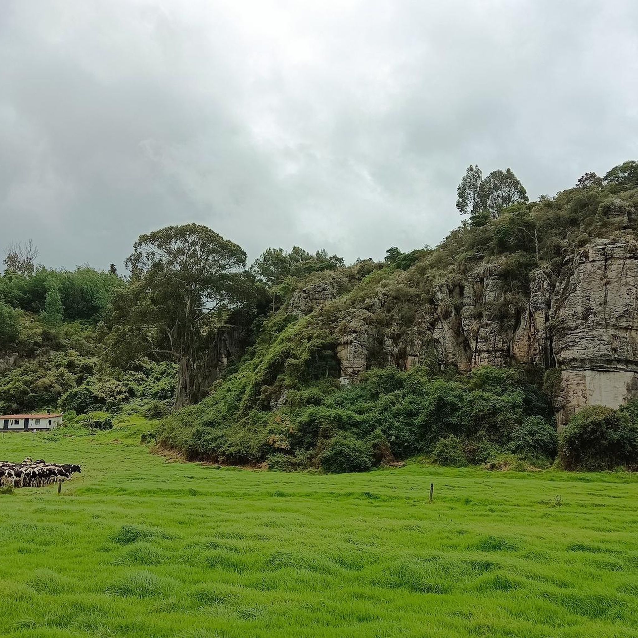
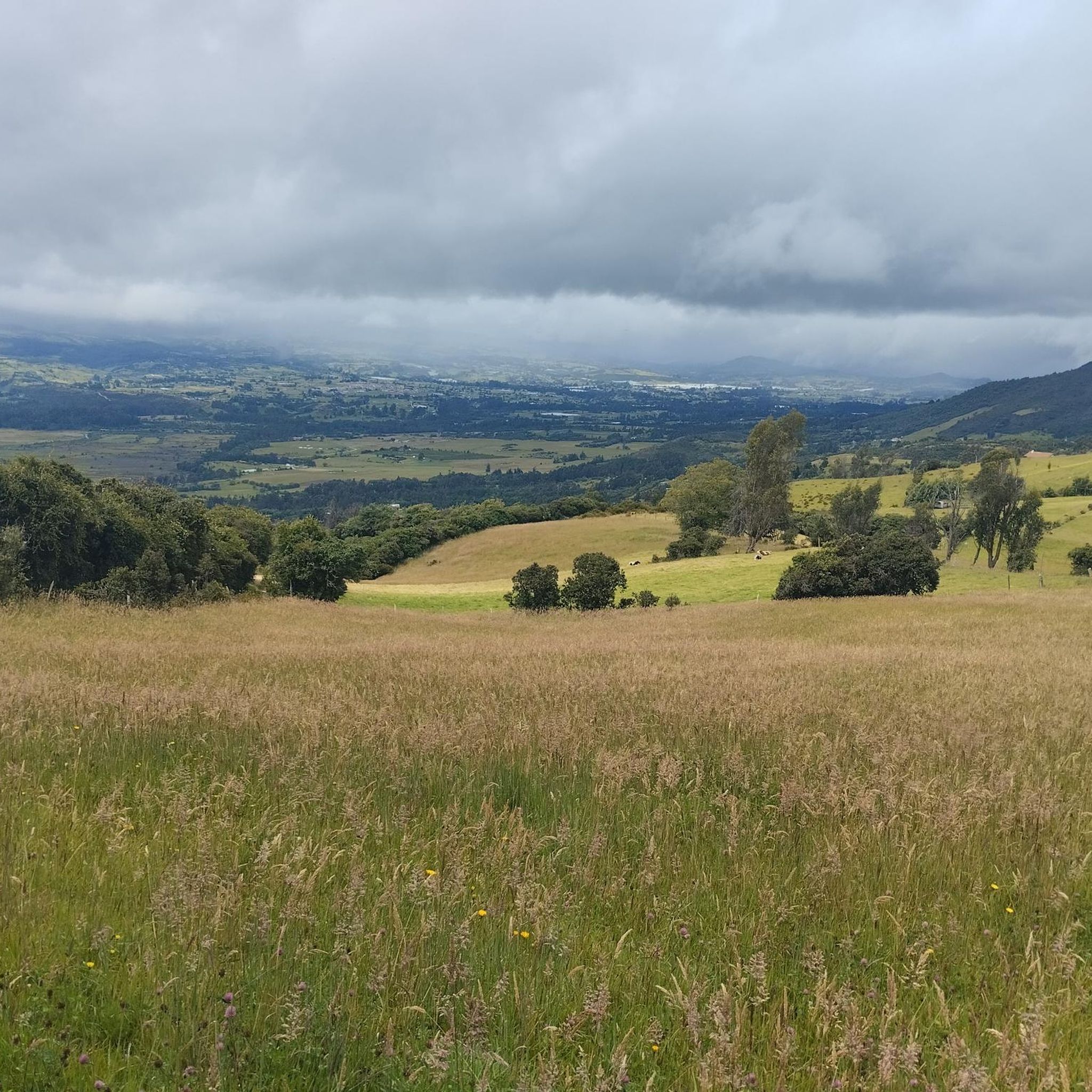
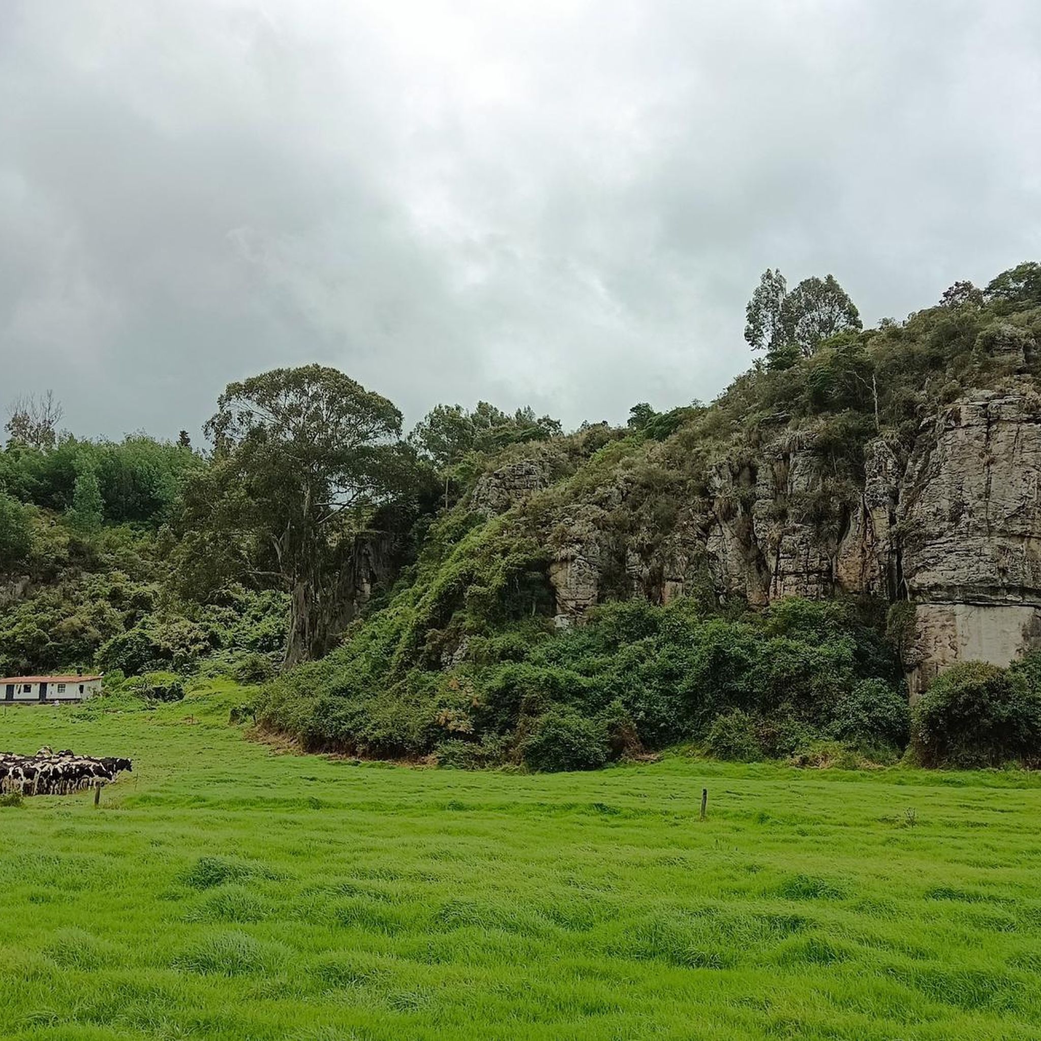
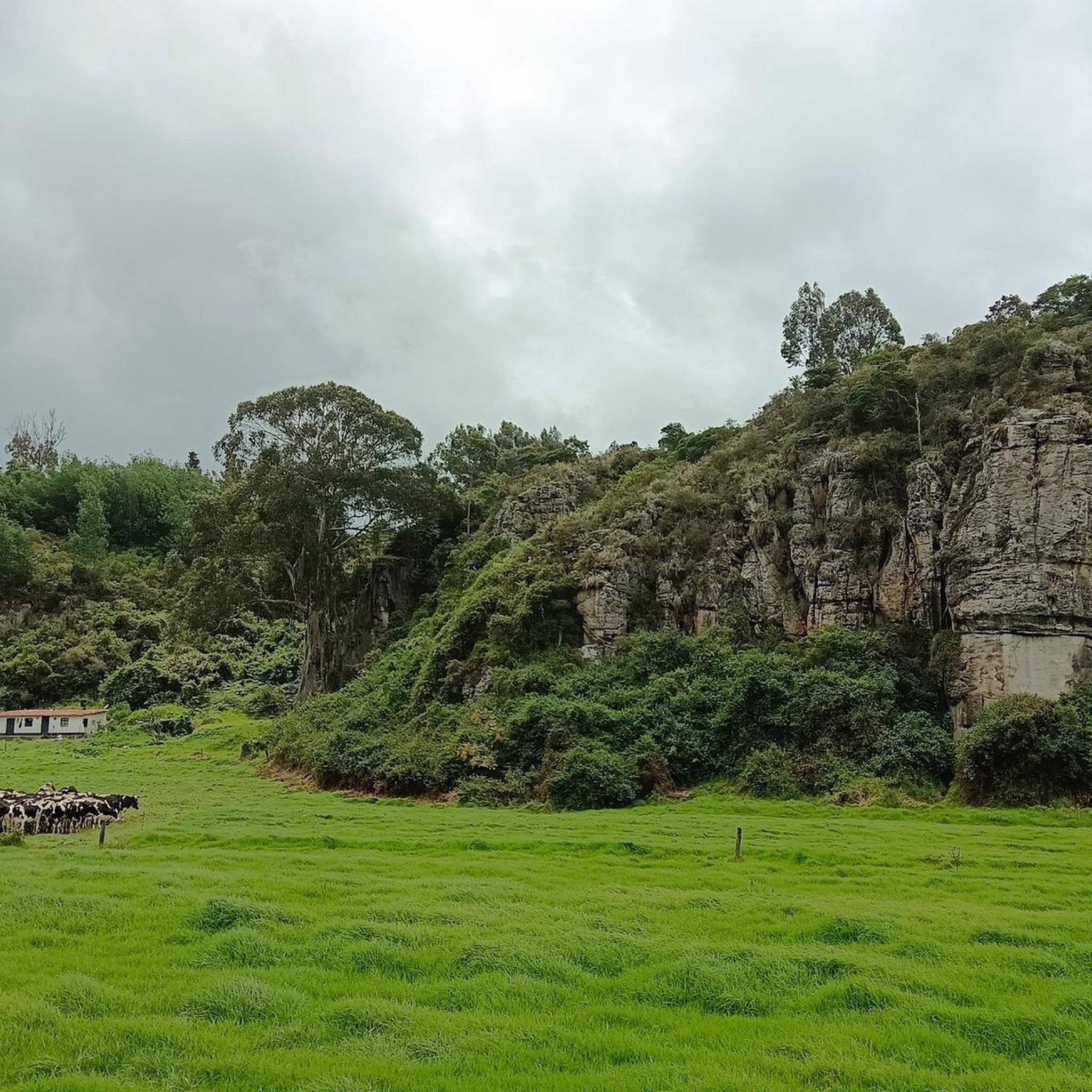
Many running routes in Gachancipá offer scenic views and pass by notable natural features. You can enjoy views of the Tominé Reservoir and the picturesque Lake Guatavita. Some trails also provide glimpses of the Sopo Reservoir and its surroundings, offering a tranquil backdrop to your run.
Are there any circular running routes in Gachancipá?
Yes, Gachancipá features several excellent circular running routes. Popular options include the Embalse del Tomine loop from Guatavita, the Running loop from Estación Nemocon, and the Running loop from Vereda Montecillo. These loops allow you to start and finish at the same point, making logistics easier.
What do other runners say about the trails in Gachancipá?
The running routes in Gachancipá are highly regarded by the komoot community, with an average score of 4.5 stars from over 10 reviews. Runners often praise the tranquil rural environment, the varied natural landscapes, and the immersive experience away from urban traffic. Many appreciate the mix of challenging climbs and scenic views, especially around the reservoirs.
Is Gachancipá suitable for family-friendly running or walking?
Gachancipá's rural setting and varied terrain can be suitable for families, depending on the chosen route. While some trails are quite challenging, the presence of unpaved roads and paths away from urban traffic offers a safer and more natural environment for outdoor activities. Look for routes classified as 'moderate' for a more accessible family experience.
Are there any specific considerations for running with dogs in Gachancipá?
The rural character of Gachancipá, with its natural water sources and unpaved paths, generally makes it a welcoming area for running with dogs. However, always ensure your dog is on a leash, especially in areas with livestock or near roads. Be mindful of local regulations and respect private property. The tranquil environment is ideal for pets to enjoy the outdoors with you.
What is the best time of year to go running in Gachancipá?
Gachancipá, being on the Altiplano Cundiboyacense, generally experiences a cooler climate, which can be ideal for sustained physical activity like running. While specific seasonal recommendations aren't provided, the consistent temperatures of the high plateau often mean good running conditions year-round. It's always advisable to check local weather forecasts before heading out.
How many running routes are available in Gachancipá on komoot?
Komoot features a selection of 14 running routes in Gachancipá. These routes vary in difficulty, with 6 classified as moderate and 8 as difficult, offering options for different experience levels.
Are there any amenities like cafes or places to rest near the running trails?
While the focus of Gachancipá's running routes is often on natural immersion away from urban centers, the rural charm means you might find local establishments in nearby villages or along main roads. For specific amenities, it's best to check maps or local information for cafes or shops in towns like Guatavita or Estación Nemocon, which are starting points for some popular routes.
What is the longest running route available in Gachancipá?
The longest running route available is the Embalse del Tomine loop from Guatavita, which spans 12.2 miles (19.6 km). This challenging route offers extensive views and a significant workout.
Most popular attractions in Gachancipá

Get inspired with the komoot mobile app


Explore more
Browse the best Running Trails & Routes in other regions.
