The best MTB trails in Gachancipá
4.8
(54)
398
riders
24
rides
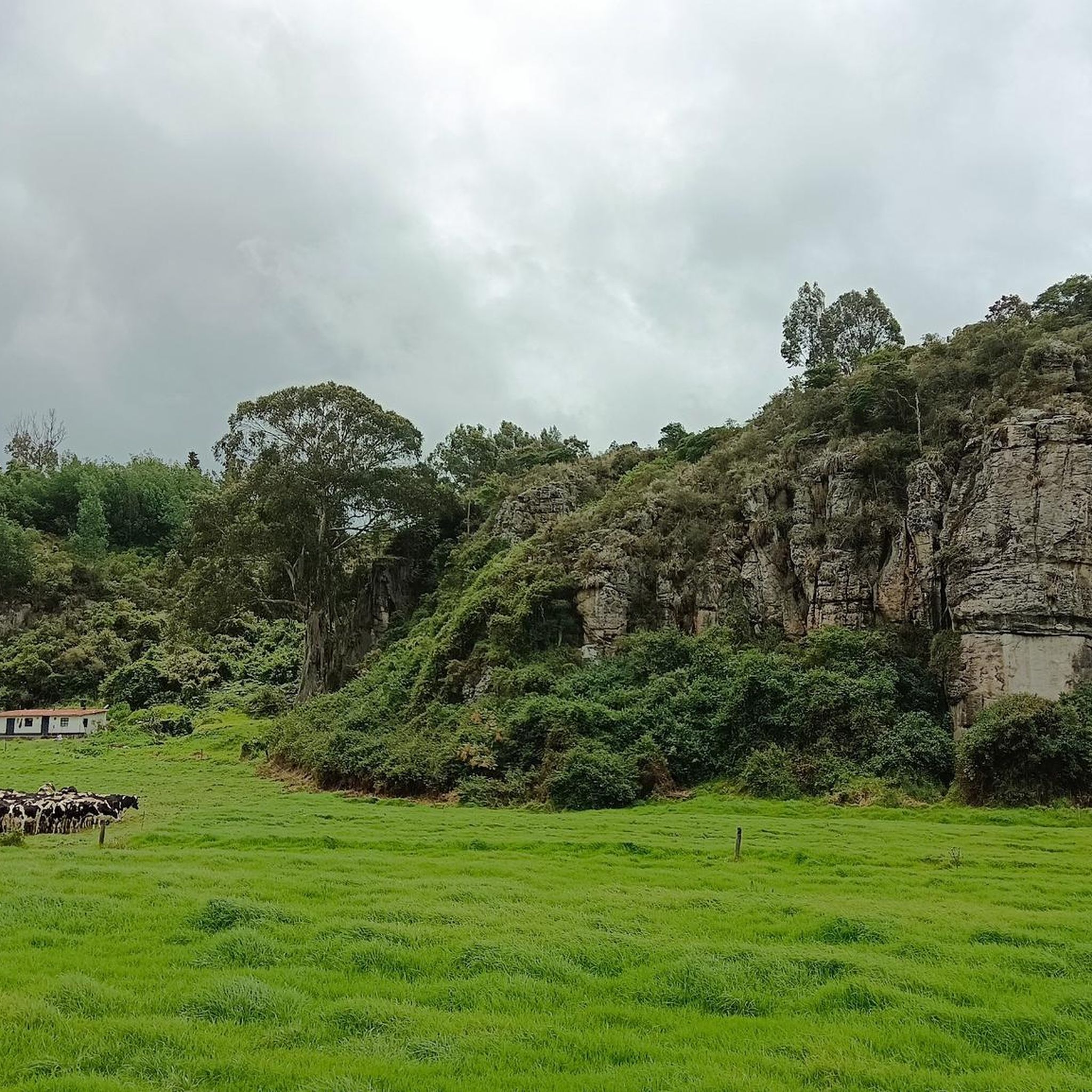
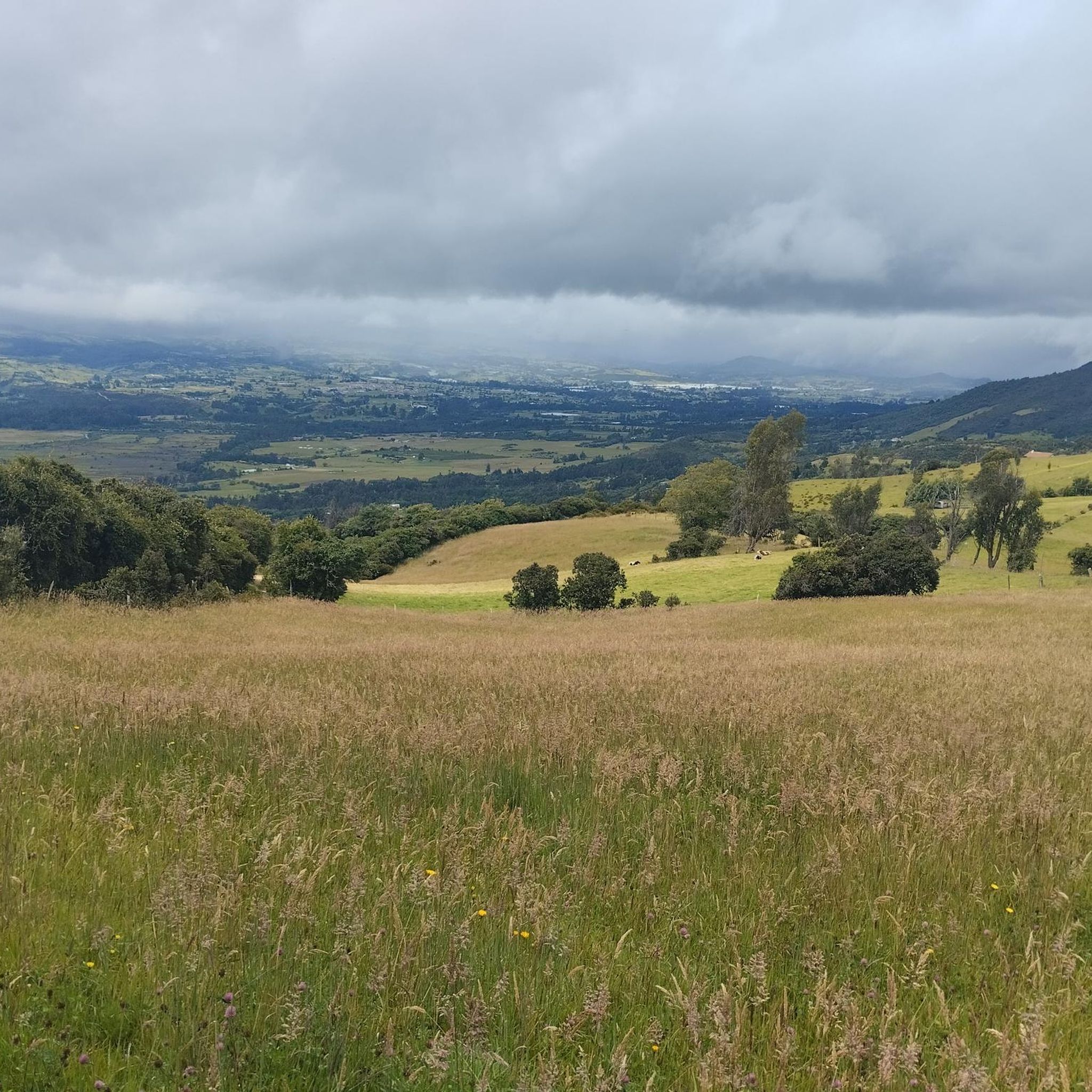
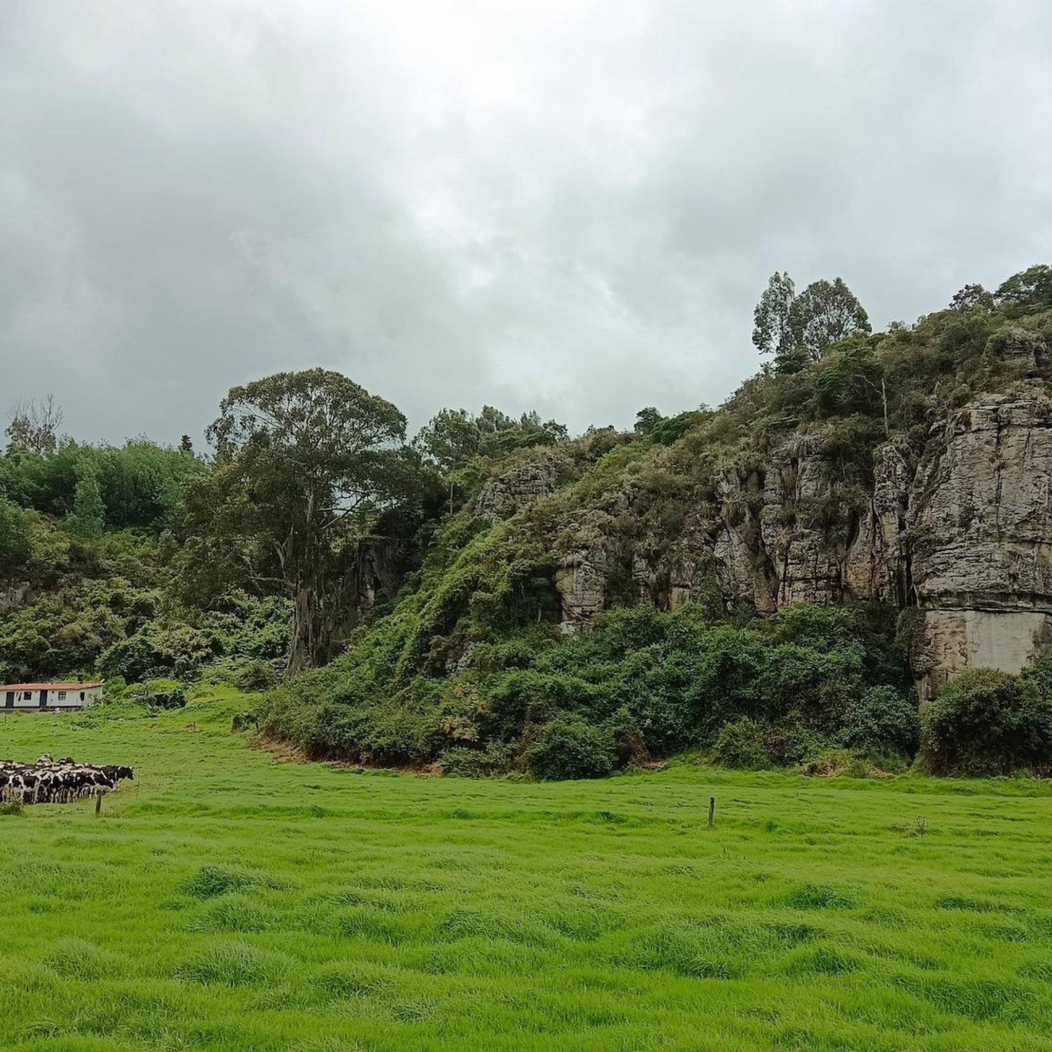
Mountain biking in Gachancipá, located in Cundinamarca, Colombia, offers varied terrain suitable for outdoor activities. The region features stunning landscapes, a rural setting, and a mountainous environment. This area provides a selection of trails that cater to different skill levels, from moderate to difficult. The natural landscape is characterized by flower crops and colonial architecture, adding to its appeal for adventure cyclists.
Best mountain bike trails in Gachancipá
- The most popular mountain bike trail is Nemocón Church – Suesca Railway…
Last updated: June 28, 2026
5.0
(2)
14
riders
29.0km
02:14
430m
430m
Moderate mountain bike ride. Good fitness required. Suitable for all skill levels.
5.0
(2)
8
riders
33.6km
02:47
860m
860m
Moderate mountain bike ride. Good fitness required. Suitable for all skill levels.

Sign up for free
4.8
(9)
8
riders
44.8km
02:20
180m
180m
Moderate mountain bike ride. Good fitness required. Suitable for all skill levels.
5.0
(7)
7
riders
19.7km
01:41
610m
610m
Moderate mountain bike ride. Good fitness required. Suitable for all skill levels.
5.0
(1)
5
riders
59.4km
04:14
730m
730m
Moderate mountain bike ride. Good fitness required. Suitable for all skill levels.
Get access to more routes and recommendations from other explorers.
Sign up for free
Already have an account?
Our route recommendations are based on thousands of hikes, rides, and runs completed by other people on komoot.
Start today with a free account
Your next adventure awaits.
Login or Signup


Tips from the Community


A quiet, uncrowded village with remnants of colonial architecture.
1
0

Excellent place, a bike ride through the Zipaquira salt cathedral... if you go from Bogotá you should leave with time... from Usme cycling between 25 to 28 km/h with 2 stops, it took us 3 hours and 20 minutes...
0
0


Slopes of up to 24% in 4.5 km from Sopó to Píonono.
0
0
Beautiful view of the Tominé and Guatavita lagoons
0
0
Frequently Asked Questions
How many mountain bike trails are available in Gachancipá?
Gachancipá offers a diverse network of 25 mountain bike routes. These trails cater to various skill levels, including easy, moderate, and difficult options.
What is the general difficulty level of mountain biking in Gachancipá?
The trails in Gachancipá range from easy to difficult. There is 1 easy route, 14 moderate routes, and 10 difficult routes, ensuring options for different experience levels.
Are there any long-distance mountain bike routes in Gachancipá?
Yes, Gachancipá features several longer routes. For instance, the San Bartolomé – Kaolin loop from Estación Gachancipá is a moderate 59.3 km (36.8 miles) trail, offering a substantial ride through the region's varied terrain.
What kind of terrain can I expect on Gachancipá's mountain bike trails?
Gachancipá's mountain bike trails are characterized by varied terrain, stunning landscapes, and a mountainous environment. The region is known for its rural setting, vibrant flower crops, and colonial architecture, providing a picturesque backdrop for your ride. You might encounter technical sections, rock gardens, and significant elevation changes on some trails.
What are some scenic viewpoints or natural features to look out for while mountain biking in Gachancipá?
The region offers beautiful natural features and viewpoints. You can find stunning vistas such as the View of the Sopo Reservoir and Sopo or the View of Embalse de Tominé. The area also features significant bodies of water like the Tominé Reservoir and Lake Guatavita, which can be enjoyed along or near many routes.
Are there any circular mountain bike routes in Gachancipá?
Yes, many of Gachancipá's mountain bike trails are designed as loops. Examples include the Nemocón Church – Suesca Railway Bridge loop from Estación Nemocon, the San Bartolomé – Antennas loop from Estación de Tocancipá, and the Cajicá–Yerbabuena – Salt Flats loop from Estación de Tocancipá, providing convenient starting and ending points.
What do other mountain bikers say about the trails in Gachancipá?
The mountain bike trails in Gachancipá are highly regarded by the komoot community, with an average rating of 4.8 stars from over 60 reviews. Many riders appreciate the varied terrain and the stunning landscapes that make for a rewarding cycling experience.
Are there any specific trails known for significant elevation gain?
For riders seeking a challenge with substantial climbing, the San Bartolomé – Antennas loop from Estación de Tocancipá is a notable option. This moderate 33.6 km (20.9 miles) route features over 850 meters (2,800 feet) of elevation gain, providing a demanding workout and expansive views.
What cultural or historical points of interest can be found near the mountain bike trails?
Beyond the natural beauty, Gachancipá and its surroundings boast a rich Muisca heritage and colonial architecture. You might encounter charming settlements like Sesquilé Town Square or Sesquilé, offering a glimpse into the region's history and culture.
Is there a good trail for a moderate descent experience?
If you're looking for a route that includes a good descent, consider the Descent from Pionono to Sopó loop from Estación de Tocancipá. This moderate 19.7 km (12.2 miles) trail features over 600 meters (2,000 feet) of descent, offering an exciting ride.
Where can I find more information about the Cundinamarca region?
For additional details about the broader Cundinamarca department, including Gachancipá, you can visit the official regional tourism website: cundinamarca.gov.co.
Most popular attractions in Gachancipá

Get inspired with the komoot mobile app


Explore more
Browse the best MTB trails in other regions.
