The best walks and hikes in Zipacón
4.7
(12)
52
hikers
4
hikes
Hiking trails in Zipacón are situated within the Eastern Ranges of the Colombian Andes, offering diverse landscapes for outdoor activities. The region is characterized by lush cloud forest, Andean mountains, and sections of the Bogotá Savanna, with the urban center at 2,550 meters (8,370 ft) above sea level. Hikers can explore a mix of undulating terrain, native vegetation, and small streams, often passing through cultivated farmlands. This area provides varied elevations and natural features suitable for different hiking experiences.
Best…
Last updated: June 29, 2026
4.8
(8)
27
hikers
9.39km
02:53
300m
300m
Moderate hike. Good fitness required. Easily-accessible paths. Suitable for all skill levels.
4.3
(3)
13
hikers
16.2km
05:38
840m
840m
Hard hike. Very good fitness required. Easily-accessible paths. Suitable for all skill levels.

Sign up for free
5.0
(1)
6
hikers
8.57km
02:51
440m
440m
Moderate hike. Good fitness required. Easily-accessible paths. Suitable for all skill levels.
3
hikers
23.9km
07:53
1,100m
1,100m
Hard hike. Very good fitness required. Easily-accessible paths. Suitable for all skill levels.
3
hikers
4.83km
01:15
30m
30m
Easy hike. Great for any fitness level. Easily-accessible paths. Suitable for all skill levels.
Our route recommendations are based on thousands of hikes, rides, and runs completed by other people on komoot.
Start today with a free account
Your next adventure awaits.
Login or Signup
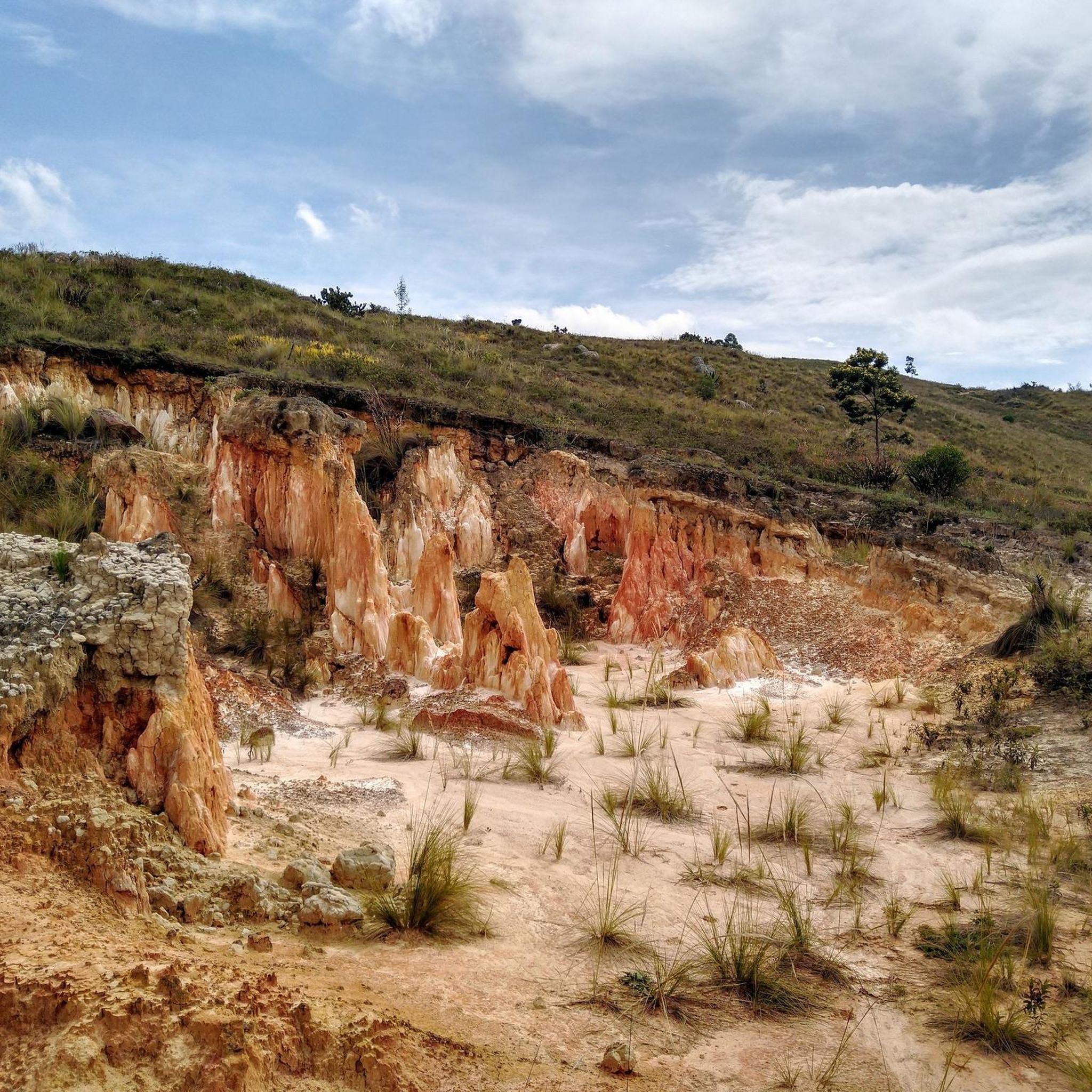
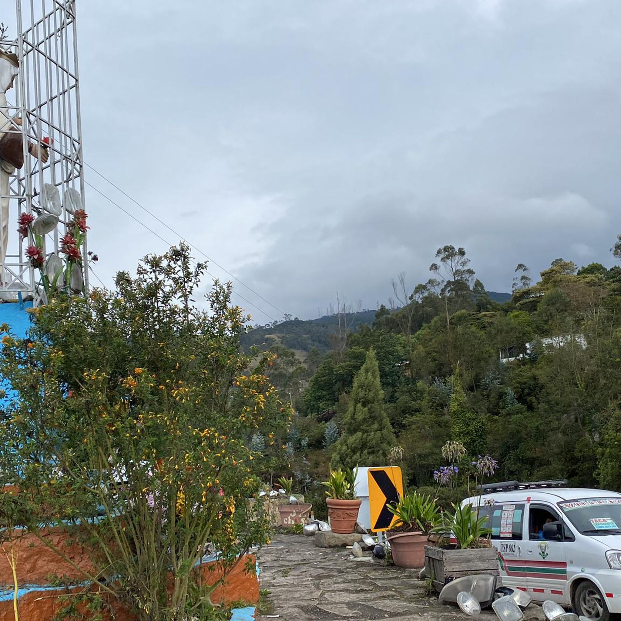
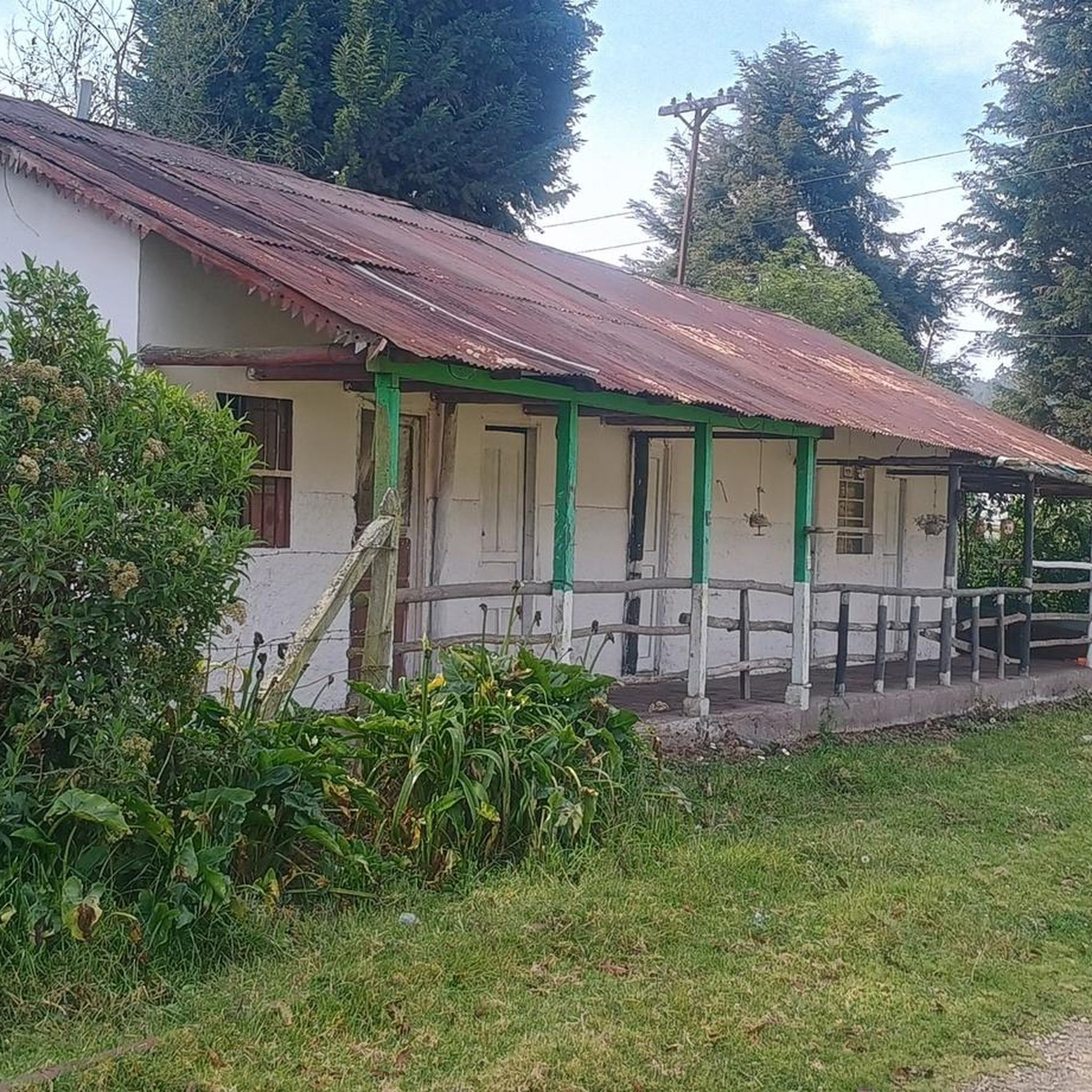

Tips from the Community

Ascent along a path between forests and rocks
0
0
Frequently Asked Questions
What kind of terrain can I expect on hiking trails in Zipacón?
Hiking in Zipacón offers a diverse range of terrain. You'll find lush cloud forests, sections of the Andean mountains, and parts of the Bogotá Savanna with undulating agricultural lands. Trails often follow old bridle paths, passing small streams and native vegetation, providing varied elevations and natural features.
Are there any easy hiking trails suitable for beginners in Zipacón?
Yes, Zipacón has options for various skill levels. For an easier experience, consider the Hiking loop from La Esmeralda. This route is approximately 4.8 km long and can be completed in about 1 hour and 15 minutes, offering a gentle introduction to the region's beauty.
Can I find trails with waterfalls in Zipacón?
Yes, the region features beautiful natural attractions like waterfalls. A notable option is the Velo de Novia Waterfall loop from Bojacá urbana. This more challenging 16.2 km trail leads directly to the Velo de Novia Waterfall, showcasing the area's natural beauty.
What are some historical or cultural points of interest along the hiking routes?
Zipacón is rich in history. The town itself has colonial architecture and was a meditation site for the Muisca leader, the Zipa. Some trails, like the 'Zipacón - El Ocaso Trail' mentioned in regional research, follow ancient train tracks and centenary royal roads, offering glimpses into the region's past. You can also explore highlights such as the Cisneros Station, an old train station, or the Mason Road Trail to Bojacá via La Herrera.
Are there any circular hiking routes in Zipacón?
Many of the hiking routes in Zipacón are designed as loops, allowing you to start and end in the same location. Examples include the Alto loop from Zipacón, the Velo de Novia Waterfall loop from Bojacá urbana, and the Cascada El Tambo loop from Tena.
What do other hikers say about the trails in Zipacón?
The hiking trails in Zipacón are highly regarded by the komoot community, with an average rating of 4.7 stars from over 10 reviews. Hikers often praise the diverse landscapes, from cloud forests to agricultural farmlands, and the variety of routes suitable for different abilities.
What is the best time of year to go hiking in Zipacón?
Zipacón's location in the Eastern Ranges of the Colombian Andes means it experiences a tropical highland climate. While hiking is generally possible year-round, the region can have distinct wet and dry seasons. For the most comfortable hiking conditions, consider visiting during the drier months, typically December to March and July to August, when rainfall is less frequent and trails are generally clearer.
Are there any viewpoints or panoramic vistas along the trails?
Yes, Zipacón offers stunning mountain vistas and panoramic views. The 'Caminata Ecológica Zipacón Mirador de Facatativá' (as mentioned in regional research) is a popular ecological walk specifically known for its beautiful panoramic views of Facatativá. Many trails through the Andean mountains and Bogotá Savanna also provide expansive scenic outlooks.
What are the typical durations for hikes in Zipacón?
Hike durations in Zipacón vary depending on the route's length and difficulty. For example, an easy route like the Hiking loop from La Esmeralda takes about 1 hour and 15 minutes. Moderate trails, such as the Alto loop from Zipacón, typically take around 3 hours, while more difficult routes like the Villa San Nicolas loop from La Mesa can take nearly 8 hours.
Are there any places to eat or rest near the hiking trails in Zipacón?
Zipacón is a colonial-style town that offers a serene escape. While specific cafes directly on trails might be limited, the town center provides amenities. You can find places like Restaurante Curubital, which can be a good option for a meal after your hike. The main square and surrounding areas in Zipacón offer a charming atmosphere to relax.
What is the altitude of Zipacón and how might it affect hiking?
The urban center of Zipacón is situated at an altitude of 2,550 meters (8,370 ft) above sea level. This high altitude means the landscape is dominated by lush cloud forest and provides cooler temperatures. Hikers unaccustomed to high altitudes might experience reduced stamina, so it's advisable to take it easy on your first day, stay hydrated, and choose shorter, less strenuous routes initially.
Most popular routes in Zipacón
Most popular attractions in Zipacón

Get inspired with the komoot mobile app


Explore more
Browse the best Hikes in other regions.
