
The best running trails in Zipacón
4.5
(8)
147
runners
8
runs
Jogging in Zipacón offers a variety of routes through a landscape characterized by significant elevation changes and natural features. The region's terrain includes hills and valleys, with some routes featuring substantial climbs. Running routes often traverse diverse environments, providing varied experiences for runners. The area is suitable for those seeking challenging runs with considerable elevation gain.
Best jogging routes in Zipacón
- The most popular jogging route is Cerro La Esperanza loop from Cachipay, a 10.3 miles (16.5 km) trail…
Last updated: July 1, 2026
12
runners
16.5km
02:15
660m
660m
Hard run. Very good fitness required. Mostly paved surfaces. Suitable for all skill levels.
10
runners
9.61km
01:16
300m
300m
Moderate run. Good fitness required. Mostly paved surfaces. Suitable for all skill levels.

Sign up for free
11
runners
30.1km
04:01
1,110m
1,120m
Hard run. Very good fitness required. Mostly paved surfaces. Suitable for all skill levels.
8
runners
11.6km
01:48
630m
630m
Hard run. Very good fitness required. Sure-footedness, sturdy shoes and alpine experience required.
7
runners
28.1km
04:45
1,640m
1,640m
Hard run. Very good fitness required. Sure-footedness, sturdy shoes and alpine experience required.
Get access to more routes and recommendations from other explorers.
Sign up for free
Already have an account?
Our route recommendations are based on thousands of hikes, rides, and runs completed by other people on komoot.
Start today with a free account
Your next adventure awaits.
Login or Signup
Popular around Zipacón
Frequently Asked Questions
How many running routes are available in Zipacón?
There are 8 distinct running routes documented in Zipacón on komoot, offering a variety of experiences for runners.
Are there any easy jogging routes in Zipacón?
Zipacón's terrain is primarily characterized by significant elevation changes, making most routes challenging. While there are no routes explicitly rated as 'easy', there are 2 moderate routes available for those seeking a less strenuous run, such as the Alto loop from Zipacón.
What are the typical distances for running trails in Zipacón?
Running trails in Zipacón vary significantly in length. You can find routes ranging from moderate distances, like the Alto loop from Zipacón at 6.0 miles (9.6 km), to much longer and more demanding trails such as the Lv loop from Cachipay, which spans 18.7 miles (30.1 km).
What do other runners enjoy most about jogging in Zipacón?
The running routes in Zipacón are highly rated by the komoot community, with an average score of 4.5 stars from over 8 reviews. Runners often praise the challenging ascents and descents, the diverse natural surroundings, and the significant elevation gains that define the region's trails.
Are there any circular running routes in Zipacón?
Yes, many of the running routes in Zipacón are designed as loops, offering a convenient circular experience. Examples include the popular Cerro La Esperanza loop from Cachipay and the Lv loop from Cachipay.
What kind of terrain can I expect on running trails in Zipacón?
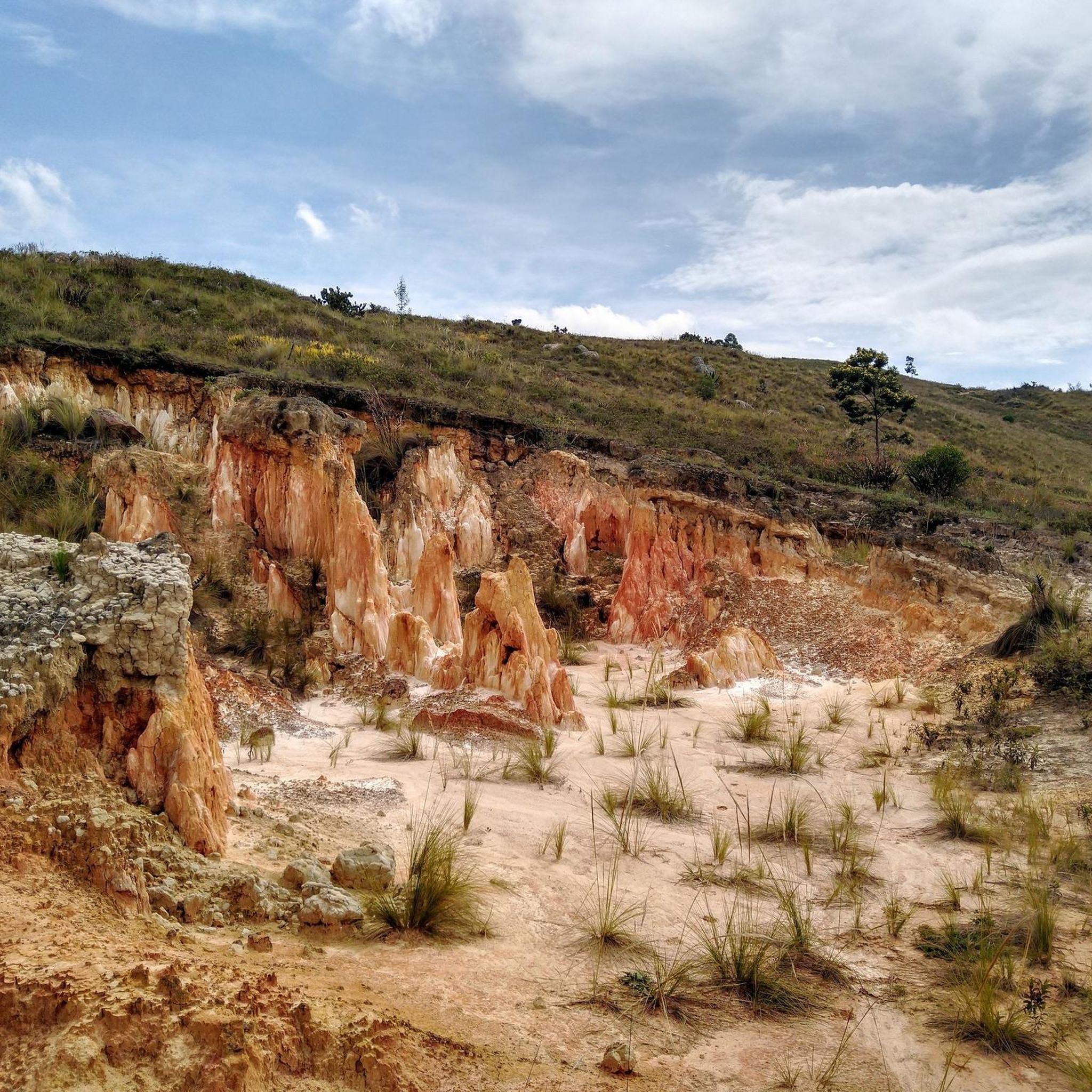
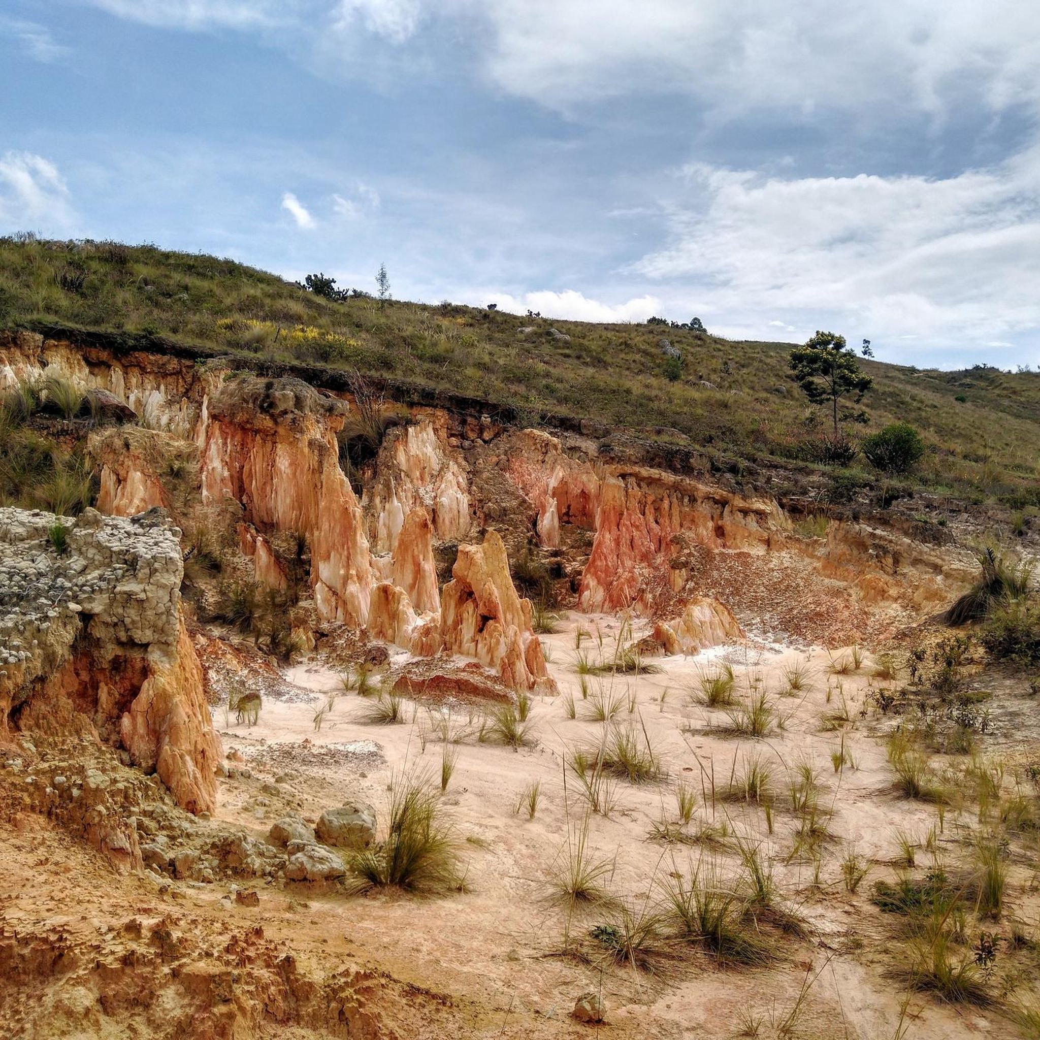
Jogging in Zipacón is characterized by hilly terrain, significant elevation gains, and diverse natural surroundings. Routes often traverse hills and valleys, providing varied experiences with substantial climbs and descents.
Are there any scenic running routes in Zipacón with natural attractions?
Yes, the region offers scenic routes. For instance, the Cascada El Tambo loop from Reserva Natural de la Sociedad Civil Jamapi is a demanding trail that likely offers views of natural features, including a waterfall, given its name. You can also explore nearby highlights like Mason Road Trail to Bojacá via La Herrera.
What are some notable landmarks or points of interest near the running trails?
Beyond the trails themselves, you can find interesting points of interest in the vicinity. These include natural features like Curubital and historical sites such as Cisneros Station. For dining, Restaurante Curubital is also nearby.
Is Zipacón suitable for beginner runners?
Given the region's characteristic hilly terrain and significant elevation gains, Zipacón is generally more suited for runners seeking challenging runs. While there are moderate options, beginners might find the overall landscape quite demanding.
Are there any long-distance running options in Zipacón?
Absolutely. Zipacón offers several long-distance running options for endurance enthusiasts. The Lv loop from Cachipay is a demanding 18.7 miles (30.1 km) trail, and the Cascada El Tambo loop from Reserva Natural de la Sociedad Civil Jamapi covers 17.4 miles (28.0 km).
What is the best time of year for running in Zipacón?
The guide does not specify a 'best time of year' for running in Zipacón. However, given the diverse natural surroundings and varied terrain, it's advisable to check local weather conditions before heading out, especially considering the significant elevation changes.
Are there any running routes that start near Zipacón town center?
Yes, the Alto loop from Zipacón is a moderate 6.0-mile (9.6 km) path that starts directly from Zipacón, offering a convenient option for local runners.
Most popular routes in Zipacón
Most popular attractions in Zipacón

Get inspired with the komoot mobile app


Explore more
Browse the best Running Trails & Routes in other regions.
