The best cycling routes in Zipacón
4.8
(9)
108
riders
3
rides
Touring cycling in Zipacón offers routes through varied terrain, characterized by significant elevation changes and rural landscapes. The region, situated in the Cundinamarca department of Colombia, presents cyclists with a mix of paved and unpaved sections, including gravel paths. Routes often feature climbs to "altos" (high points) and descents through valleys, providing a diverse cycling experience.
Best touring cycling routes in Zipacón
- The most popular touring cycling route is Vereda Mancilla – Alto de Padilla loop from Estación 1 -…
Last updated: July 2, 2026
4.3
(3)
17
riders
61.8km
05:14
1,360m
1,360m
Hard bike ride. Very good fitness required. Mostly paved surfaces. Suitable for all skill levels.
31
riders
87.3km
06:29
1,930m
1,930m
Hard bike ride. Very good fitness required. Mostly paved surfaces. Suitable for all skill levels.

Sign up for free
12
riders
121km
08:58
2,830m
2,830m
Hard bike ride. Very good fitness required. Mostly paved surfaces. Suitable for all skill levels.
5.0
(3)
14
riders
33.1km
02:16
410m
410m
Moderate bike ride. Good fitness required. Mostly paved surfaces. Suitable for all skill levels.
12
riders
39.4km
02:57
900m
900m
Hard bike ride. Very good fitness required. Mostly paved surfaces. Suitable for all skill levels.
Our route recommendations are based on thousands of hikes, rides, and runs completed by other people on komoot.
Start today with a free account
Your next adventure awaits.
Login or Signup
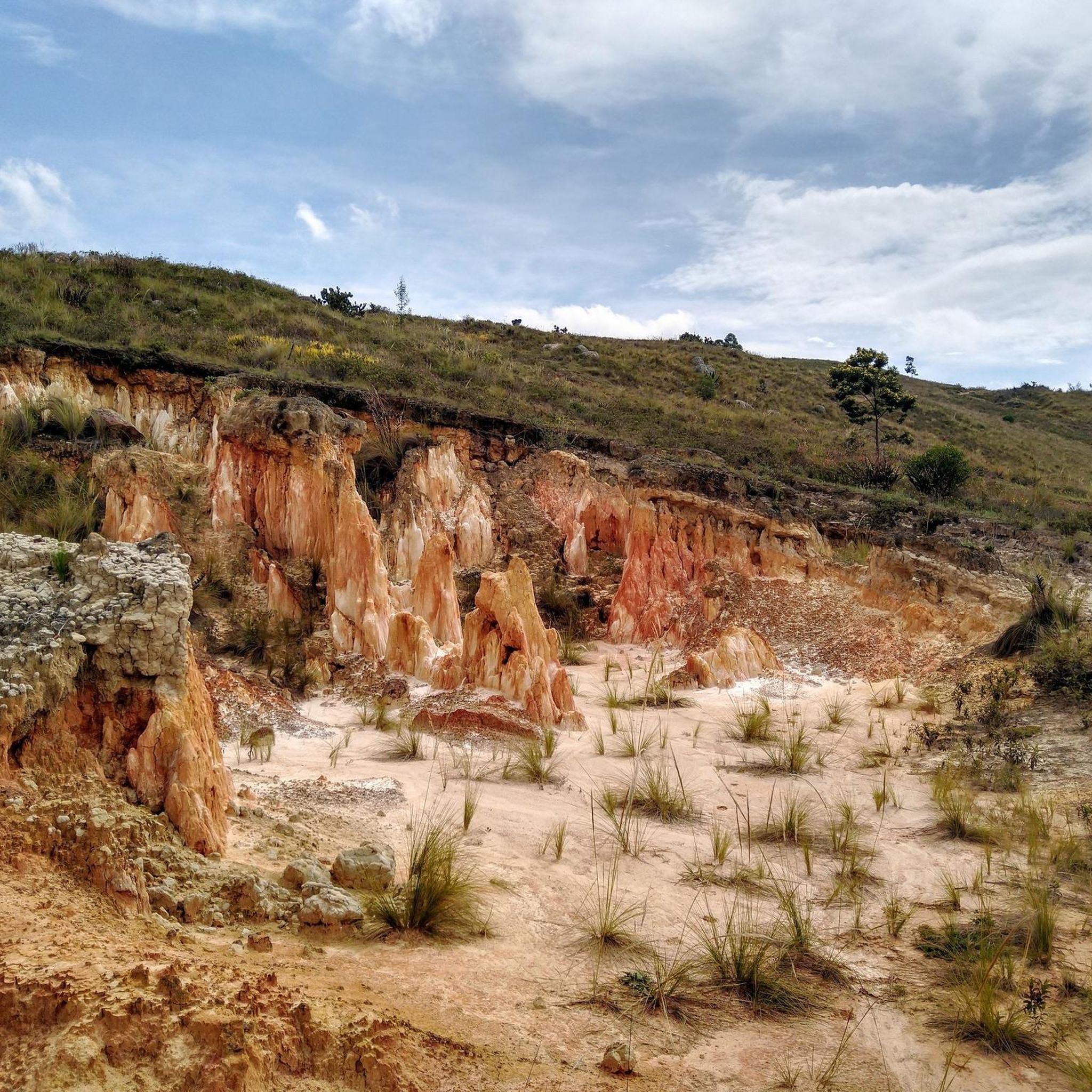
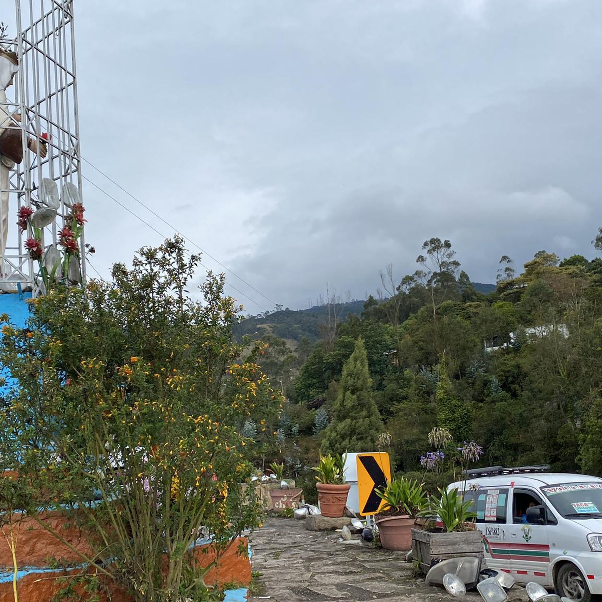

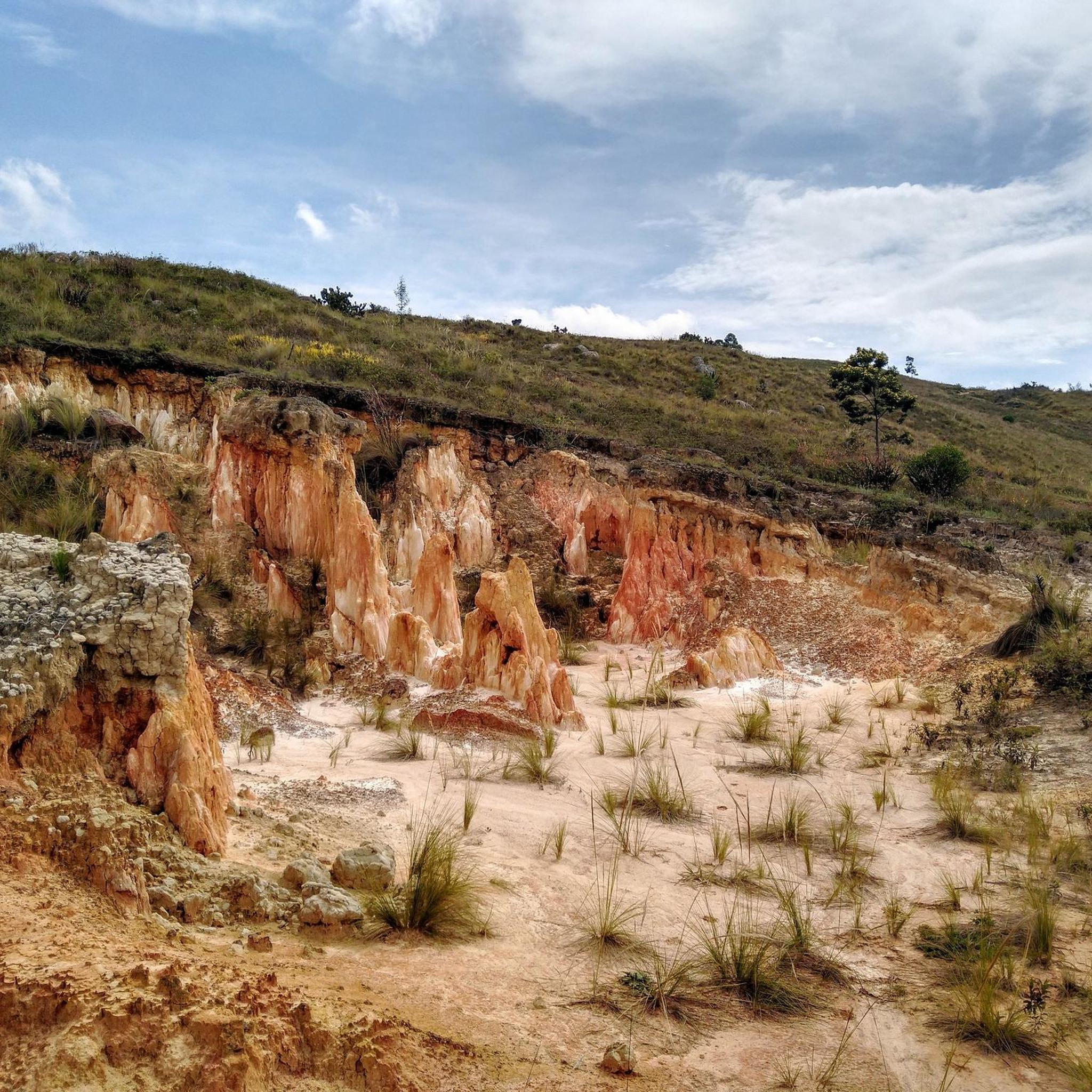
Tips from the Community


A safe place to train!!!
0
0

In this hotel restaurant you will find good food, good portions, good service and affordable prices.
0
0

here begins the uncovered ascent that can take it to the scale
1
0


Highest point on the road between Facatativá and La Vega. It is the border between the municipalities of Facatativá and La Vega
1
0

Good training, also for a walk, in La Vega start with a good roscón resobo, and take to eat at the top. Safe route, good berm, many fellow cyclists of all levels, so as not to feel alone.
0
0
Frequently Asked Questions
How many touring cycling routes are available in Zipacón?
Zipacón offers a selection of 4 touring cycling routes. These routes are rated by the komoot community with an average score of 4.95 stars, indicating a highly regarded cycling experience in the region.
What are the typical distances for touring cycling routes in Zipacón?
The routes in Zipacón vary significantly in length. You can find routes like the Vereda Mancilla – Alto de Padilla loop from Estación 1 - Facatativá, which is about 18.6 miles (29.9 km), up to longer, more challenging rides such as the Alto de la Tribuna – Alto del Vino Rest Stop loop from Estación 1 - Facatativá, spanning approximately 74.5 miles (119.9 km).
Are there routes suitable for beginner touring cyclists in Zipacón?
While Zipacón's terrain is characterized by significant elevation changes, there are moderate options available. The Vereda Mancilla – Alto de Padilla loop from Estación 1 - Facatativá is a moderate route with a notable climb, offering a good introduction to the region's cycling without being overly strenuous for those with some experience.
Where can I find challenging touring cycling routes in Zipacón?
For experienced touring cyclists seeking a challenge, Zipacón offers several difficult routes with extensive gravel sections and significant elevation gain. Consider the Apulo Station – Pueblo gravel out of Bogota loop from La Mesa, which is 54.3 miles (87.3 km) with substantial climbing, or the even longer Alto de la Tribuna – Alto del Vino Rest Stop loop from Estación 1 - Facatativá.
What is the best season for touring cycling in Zipacón?
Zipacón, located in the Cundinamarca department, generally experiences a mild climate year-round due to its elevation. However, the dry season, typically from December to March and July to August, offers more predictable weather with less rain, making it ideal for touring cycling. Always check local forecasts before heading out.
Are there circular touring cycling routes in Zipacón?
Yes, many of the touring cycling routes in Zipacón are designed as loops, allowing you to start and end at the same point. Examples include the San Antonio Station – San Joaquín Station loop from La Mesa and the Alto del Vino Rest Stop – Alto El Vino loop from Facatativá.
Are there places to eat or cafes along the touring cycling routes in Zipacón?
While many routes traverse rural landscapes, you may find local establishments in towns or villages along the way. For example, Restaurante Curubital is a highlight in the region that could serve as a stop. It's always advisable to carry sufficient water and snacks, especially on longer or more remote sections.
What can I see along the touring cycling routes in Zipacón?
The routes in Zipacón offer views of rural landscapes and significant elevation changes. You might encounter points of interest like Cisneros Station or the scenic Plan de la 13. The region's 'altos' (high points) also provide panoramic viewpoints.
What do other touring cyclists enjoy the most about touring cycling in Zipacón?
The komoot community highly rates touring cycling in Zipacón, with an average score of 4.95 stars from over 29 reviews. Cyclists often praise the diverse terrain, including challenging ascents and gravel paths, and the opportunity to explore rural landscapes away from urban centers.
Is parking available at the trailheads in Zipacón?
Specific parking information for individual trailheads is not always available. However, as many routes start from towns like Facatativá or La Mesa, you can typically find public parking options within these areas. It's recommended to research parking availability in your chosen starting town before your ride.
What should I pack for touring cycling in Zipacón?
Given the varied terrain and elevation changes, it's wise to pack layers of clothing suitable for different temperatures. Essential items include a repair kit, plenty of water, snacks, sun protection, and a fully charged phone. For routes with gravel sections, consider tires with good puncture resistance.
Most popular routes in Zipacón
Most popular attractions in Zipacón

Get inspired with the komoot mobile app


Explore more
Browse the best Cycling routes in other regions.
