The best gravel rides around Saint-Bonnet-Des-Bruyères
6
riders
Gravel biking around Saint-Bonnet-Des-Bruyères offers varied terrain in the Haut-Beaujolais region of France. The area is characterized by wooded hills, prairies, and forests, with elevations ranging from 413 to 801 meters. This diverse topography provides a mix of riding surfaces and scenic backdrops for gravel bike routes. The region also features a unique water divide, with rivers flowing towards both the Mediterranean and the Atlantic.
Best gravel bike trails around Saint-Bonnet-Des-Bruyères
- The most popular gravel bike trail is Dovecote of…
Last updated: July 4, 2026
2
riders
22.4km
01:30
390m
390m
Moderate gravel ride. Good fitness required. Mostly paved surfaces. Suitable for all skill levels.
1
riders
31.2km
02:06
480m
480m
Hard gravel ride. Very good fitness required. Mostly paved surfaces. Suitable for all skill levels.
Our route recommendations are based on thousands of hikes, rides, and runs completed by other people on komoot.
Start today with a free account
Your next adventure awaits.
Login or Signup
Tips from the Community

The Château de Saint-Point (also known as Château de Lamartine) in the Burgundy region originally dates from the 12th and 14th centuries. From 1820, it served as the residence for the famous French poet and politician Alphonse de Lamartine. Lamartine had the castle restored in the Anglo-Gothic style, which gives it its distinctive, romantic appearance with the round corner towers. It is a listed monument and can be visited as a museum.
1
0
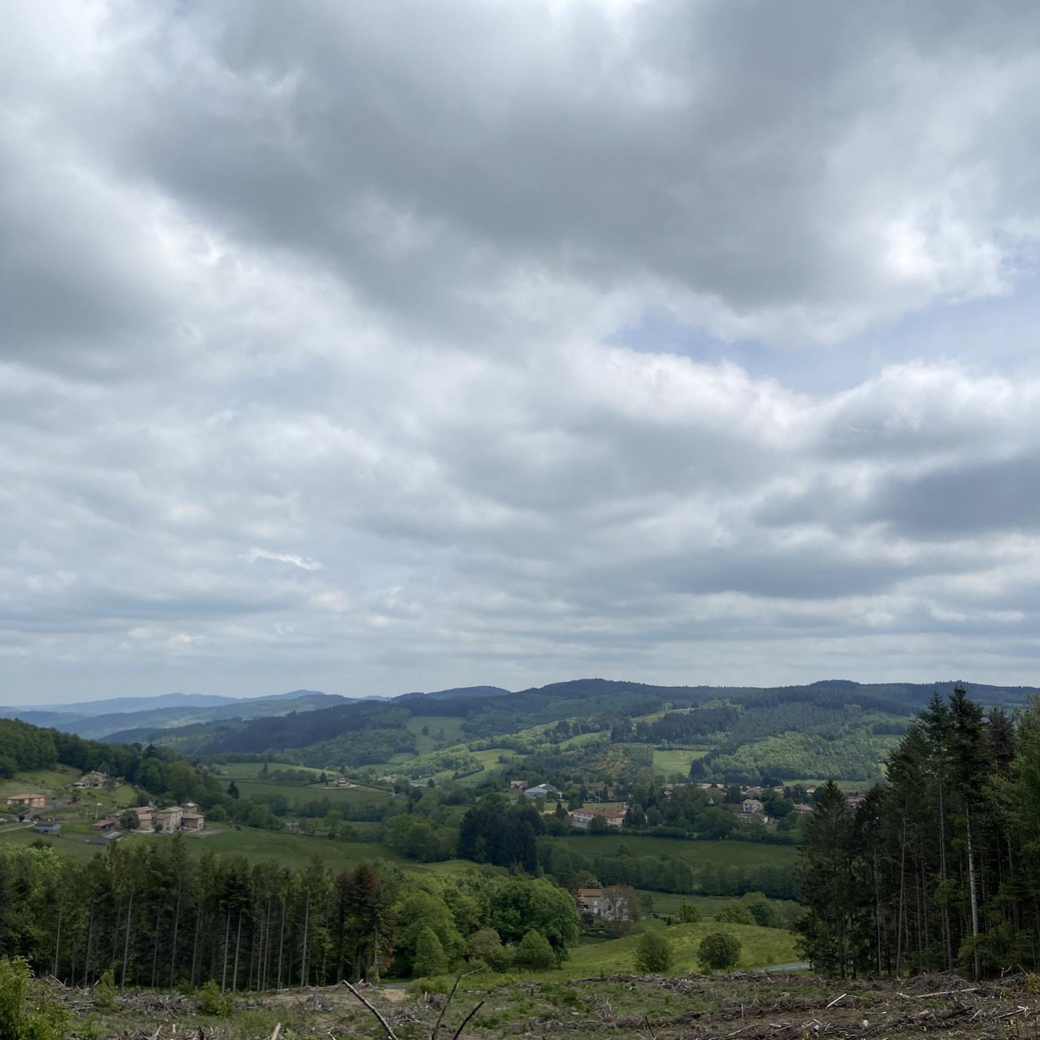
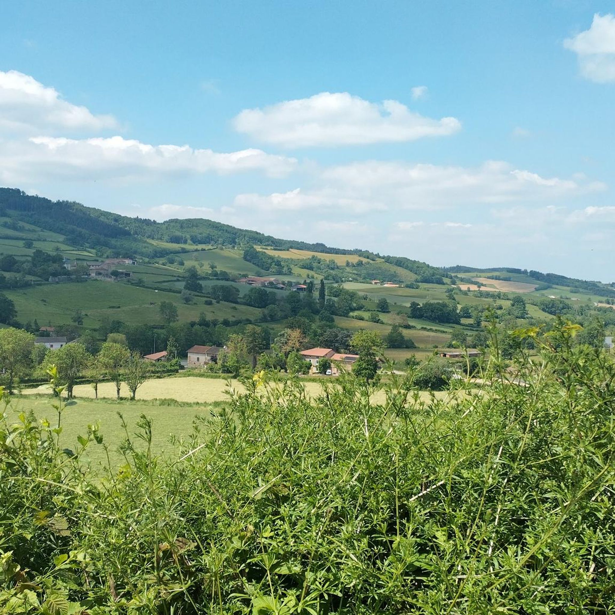
Great landscape panorama at Bois Berthaud, a popular nature and hiking area in Burgundy (France), located in the hills of the Mâconnais or Beaujolais region. The area is characterized by vast, green hill ranges, calf and cow pastures, as well as wooded sections. From the ridges around Bois Berthaud, there is a sweeping panoramic view of the surrounding countryside.
1
0
The lake is located in the Doubs department in the French region of Bourgogne-Franche-Comté at an altitude of around 850 meters. After Lac du Bourget and Lac d'Annecy, it is the third largest natural lake in France. It is a very popular lake for swimming in the summer and offers opportunities for kayaking, windsurfing, and stand-up paddling. There is also a popular hiking trail around the entire lake, approximately 20 kilometers long.
1
0

Beautifully located lake with a great place to stop for a break...
2
0

Wonderful stage stop on my Camino https://huettemann.eu/de/2023/10/von-cluny-an-die-loire-berndscamino/
1
1

Frequently Asked Questions
How many gravel bike trails are available in Saint-Bonnet-Des-Bruyères?
There are currently 4 gravel bike routes available around Saint-Bonnet-Des-Bruyères on komoot. These routes offer a variety of experiences, from moderate loops to more challenging rides through the Haut-Beaujolais landscape.
What kind of terrain can I expect on gravel bike trails in Saint-Bonnet-Des-Bruyères?
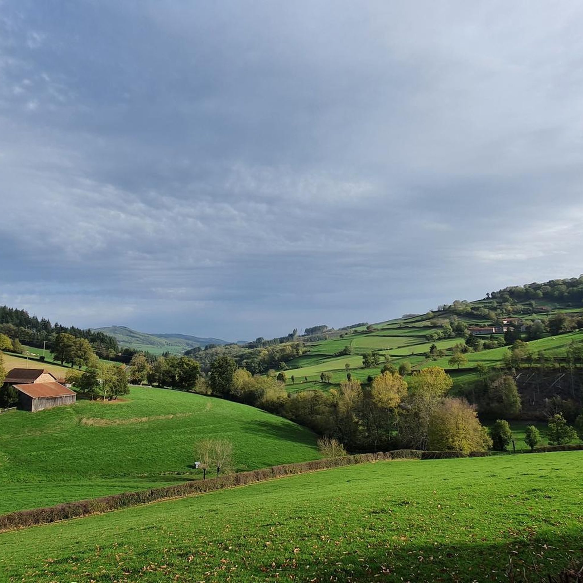
The terrain around Saint-Bonnet-Des-Bruyères is quite varied, characteristic of the Haut-Beaujolais region. You'll encounter a mix of wooded hills, prairies, and forests, with elevations ranging from 413 to 801 meters. This diverse topography provides changing scenery and a mix of riding surfaces, including dense bocage and forested paths.
Are there any family-friendly gravel bike routes in the area?
While specific routes are not explicitly labeled as 'family-friendly,' the region offers a range of difficulties. For a moderate option, consider the Route de Montmelard loop from Dompierre-les-Ormes, which is 11.6 km long and features a steady climb through the local landscape. Always assess the route's difficulty and your family's experience level before setting out.
Can I bring my dog on the gravel bike trails around Saint-Bonnet-Des-Bruyères?
Many trails in natural areas like the Haut-Beaujolais are generally dog-friendly, especially if your dog is accustomed to cycling alongside you. However, it's always best to keep your dog on a leash, especially in areas with livestock or wildlife, and to check local regulations for specific trails. The varied terrain with forests and prairies should be enjoyable for both you and your canine companion.
What are some notable landmarks or points of interest I might see while gravel biking?
While gravel biking, you can explore the natural beauty and some historical sites. The region is known for its wooded hills and scenic views, including potential glimpses of Mont Blanc on clear days from spots like the "Grande Roche." You might also pass by features like the Sornin valley or the unique water divide where the Grosne and Sornin rivers originate. For specific landmarks, consider exploring nearby highlights such as Croix d'Ajoux or the Mount Saint-Rigaud area.
Are there any circular gravel bike routes available?
Yes, several routes are designed as loops, allowing you to start and end in the same location. For example, the Dovecote of Château de Drée – Drée Castle loop from Gibles is a challenging 28.4 km circular path that traverses varied terrain near historical landmarks. Another option is the Berthaud Wood – Lake Saint-Point loop from Tramayes, a 22.4 km trail through wooded areas.
Where can I park my car when starting a gravel bike tour?
In Saint-Bonnet-des-Bruyères, parking is generally available in the village, particularly near the church square, which is a common starting point for various outdoor activities. For routes starting from other villages, such as Dompierre-les-Ormes, Gibles, or Bois-Sainte-Marie, you can usually find parking in the village centers or designated areas.
Is public transport available to reach Saint-Bonnet-Des-Bruyères?
Saint-Bonnet-des-Bruyères is a rural village in the Haut-Beaujolais, and public transport options are limited. It's advisable to plan your journey by car. For detailed information on regional transport, it's best to consult local transport authority websites, though direct connections to this specific village might be infrequent.
What is the best time of year for gravel biking in the Haut-Beaujolais region?
The Haut-Beaujolais region, with its varied terrain, is generally pleasant for gravel biking from spring through autumn. Spring offers lush greenery and blooming landscapes, while autumn provides beautiful fall colors. Summer can be warm, so early morning or late afternoon rides are recommended. Winters can be cold and potentially snowy, making some trails less accessible.
Are there options for longer or more challenging gravel bike rides?
Yes, the area offers routes for those seeking a greater challenge. The Dovecote of Château de Drée – Drée Castle loop from Gibles is a difficult 28.4 km route with significant elevation gain. Another challenging option is the Rest area by the stream loop from Bois-Sainte-Marie, which covers 31.2 km and also features a difficult rating, traversing the hilly and wooded environment of the region.
What do other gravel bikers say about the trails in Saint-Bonnet-Des-Bruyères?
Over 7 gravel bikers have used komoot to explore Saint-Bonnet-Des-Bruyères's varied terrain. While specific reviews aren't detailed here, the region is appreciated for its diverse topography, including prairies, forests, and wooded hills, offering a rich and engaging experience for cyclists seeking both challenge and scenic exploration.
Are there any viewpoints along the gravel routes?
Yes, the hilly and mountainous environment of the Haut-Beaujolais region provides numerous opportunities for scenic views. From the "Grande Roche," for instance, you can enjoy panoramic vistas, and on clear days, even catch a glimpse of Mont Blanc. Many routes wind through ridges and valleys, offering beautiful views of the village and its church, as well as the surrounding countryside.
Most popular routes around Saint-Bonnet-Des-Bruyères
Most popular attractions around Saint-Bonnet-Des-Bruyères

Get inspired with the komoot mobile app


Explore more
Browse the best Gravel rides in other regions.
