The best road cycling routes around Saint-Bonnet-Des-Bruyères
4.8
(39)
769
riders
155
rides
Road cycling around Saint-Bonnet-Des-Bruyères offers a diverse landscape characterized by rolling hills, forested areas, and notable ascents. The region features elevations such as the mountain of Saint-Cyr and Mont Brouilly, providing varied terrain for cyclists. Routes often navigate through rural roads, offering a mix of challenging climbs and scenic stretches. This area is suitable for road cyclists seeking routes with elevation changes and natural surroundings.
Best road cycling routes around Saint-Bonnet-Des-Bruyères
- The most popular road cycling route is The mountain…
Last updated: July 1, 2026
8
riders
20.3km
01:02
320m
320m
Moderate road ride. Good fitness required. Mostly well-paved surfaces and easy to ride.
12
riders
73.6km
03:44
1,150m
1,150m
Hard road ride. Very good fitness required. Mostly well-paved surfaces and easy to ride.

Sign up for free
5.0
(1)
15
riders
Moderate road ride. Good fitness required. Mostly well-paved surfaces and easy to ride.
5
riders
83.8km
04:27
1,520m
1,520m
Hard road ride. Very good fitness required. Mostly well-paved surfaces and easy to ride.
7
riders
42.8km
02:18
790m
790m
Moderate road ride. Good fitness required. Mostly well-paved surfaces and easy to ride.
Get access to more routes and recommendations from other explorers.
Sign up for free
Already have an account?
Our route recommendations are based on thousands of hikes, rides, and runs completed by other people on komoot.
Start today with a free account
Your next adventure awaits.
Login or Signup
Tips from the Community

The Col de Durbize is a mountain pass at 550 meters above sea level in the municipality of Chiroubles, in the heart of the Beaujolais wine region. The pass is located in the Massif Central and, as an important road junction (intersection of roads D26, D86, and D18E1), connects surrounding wine villages such as Villié-Morgon and Beaujeu. It is particularly popular with road cyclists and hikers for its panoramic views.
0
0

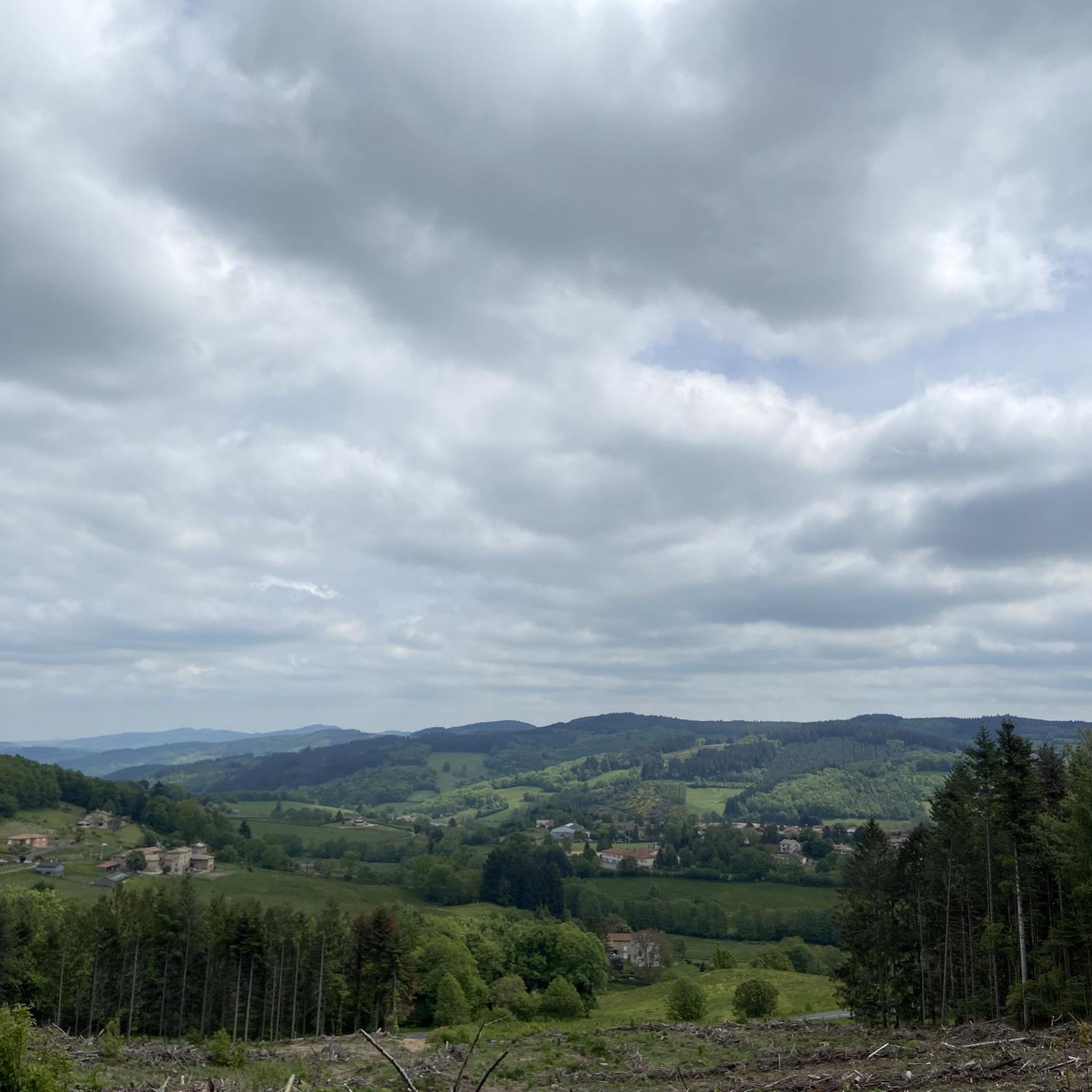
From here, you face a typical panorama of the Haut-Beaujolais with large, rolling meadows, dotted with wooded groves and highlighted by the region's highest peaks.
0
0

Card payments accepted. Very friendly 👍🏽
1
0


Several possible routes through the vineyards towards Villié-Morgon, notably via Chiroubles.
1
0
Frequently Asked Questions
How many road cycling routes are available around Saint-Bonnet-Des-Bruyères?
There are over 150 road cycling routes documented around Saint-Bonnet-Des-Bruyères on komoot, offering a wide range of options for different skill levels and preferences.
Are there easy road cycling routes suitable for beginners or families?
Yes, Saint-Bonnet-Des-Bruyères offers several easy road cycling routes. You'll find around 8 routes specifically graded as easy, perfect for those new to road cycling or looking for a relaxed ride. These routes typically feature less elevation gain and shorter distances.
What are some challenging road cycling routes for experienced riders?
For experienced road cyclists seeking a challenge, the region provides numerous difficult routes. One notable option is the West side of Mont Brouilly – Boubon Pass (638 m) loop from Matour, which covers 52.1 miles (83.8 km) with significant elevation changes, including the challenging slopes of Mont Brouilly and Boubon Pass.
Are there long-distance road cycling routes in the area?
Absolutely. For those looking for longer rides, routes like the Bois Clair tunnel – Lamartine House loop from Matour offer a substantial distance of 39.2 miles (63.0 km), winding through varied terrain and historical points. Many routes can also be combined for extended tours.
What kind of scenery can I expect on road cycling routes around Saint-Bonnet-Des-Bruyères?
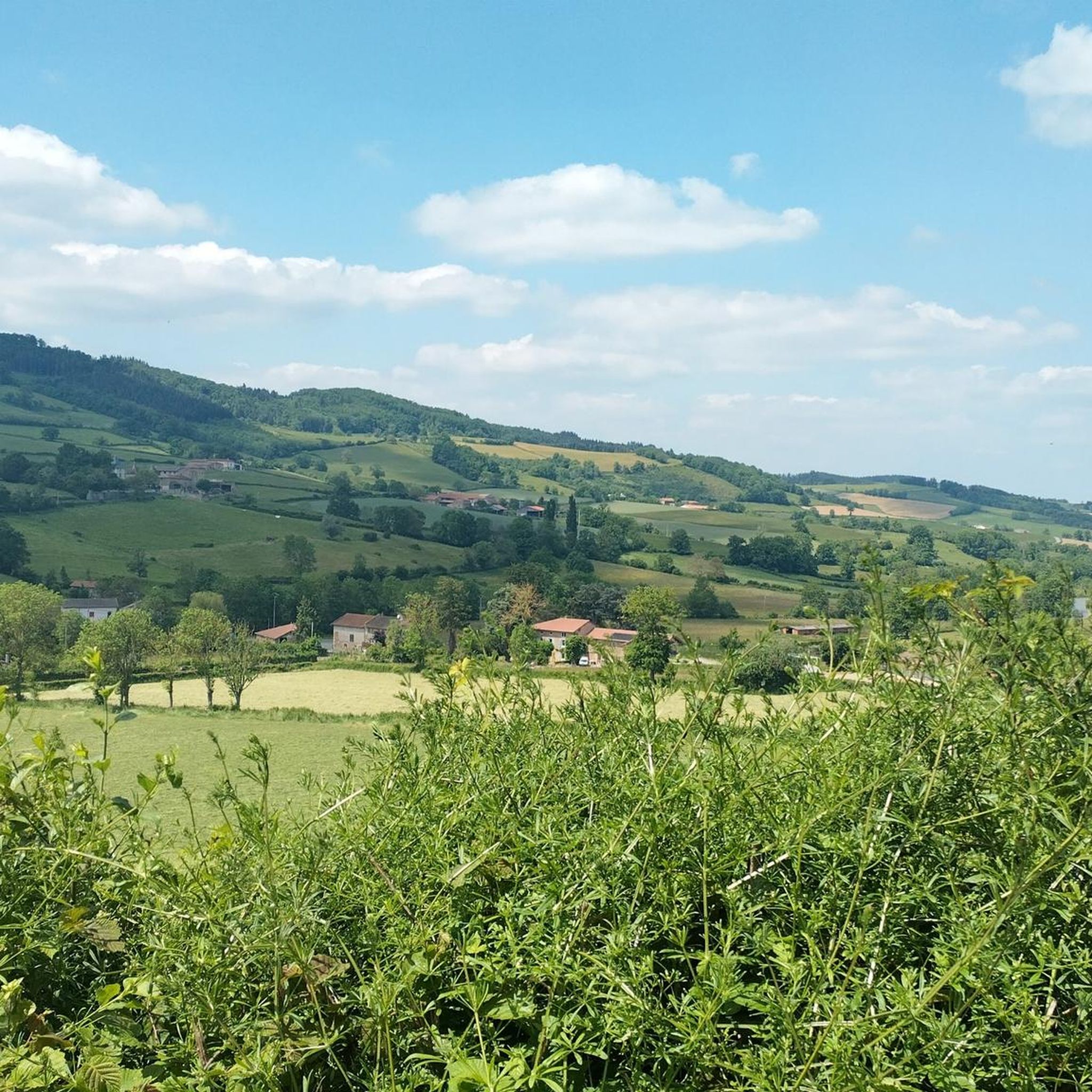
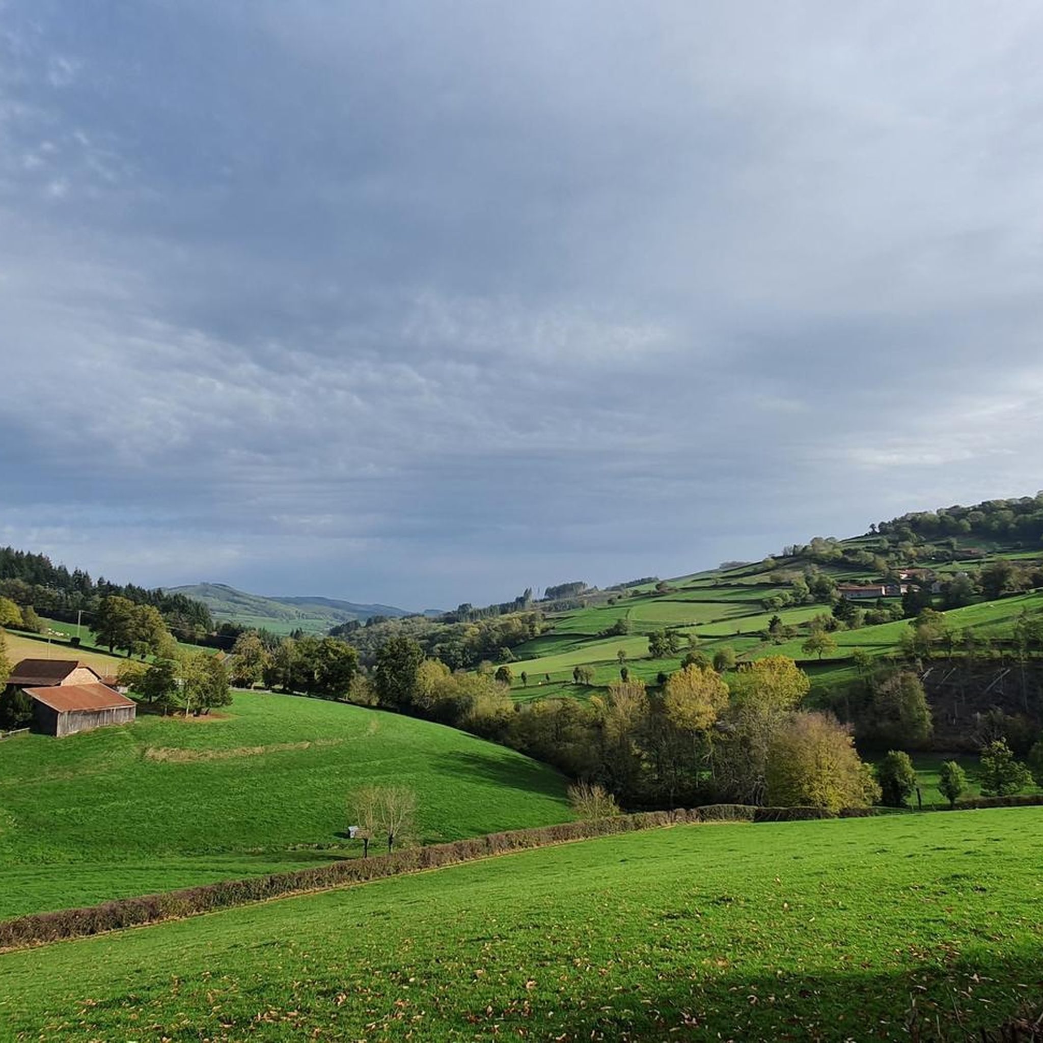
The routes in Saint-Bonnet-Des-Bruyères are characterized by rolling hills, dense forested areas, and picturesque rural roads. You'll encounter notable ascents like the mountain of Saint-Cyr and Mont Brouilly, offering panoramic views. The region's natural surroundings provide a scenic backdrop for your rides.
What are some interesting landmarks or attractions I can see along the routes?
While cycling, you might pass by several points of interest. Notable summits include Mount Saint-Rigaud and Mount Dun. You can also find mountain passes such as Boubon Pass (638 m) and Écharmeaux Pass, which are often part of challenging climbs.
Are most road cycling routes in Saint-Bonnet-Des-Bruyères circular?
Many of the road cycling routes around Saint-Bonnet-Des-Bruyères are designed as loops, allowing you to start and finish at the same point. For example, The mountain of Saint-Cyr — loop from Matour is a popular circular option.
Where do road cycling routes typically start in the region?
Many popular road cycling routes in the area, including several mentioned in this guide, frequently start from Matour. This village serves as a convenient hub for accessing various loops and trails in the Saint-Bonnet-Des-Bruyères vicinity.
What is the best time of year for road cycling in Saint-Bonnet-Des-Bruyères?
The best time for road cycling in Saint-Bonnet-Des-Bruyères is generally from spring through autumn (April to October). During these months, the weather is typically mild, and the natural scenery is at its most vibrant, making for pleasant riding conditions.
What do other road cyclists enjoy most about road cycling in Saint-Bonnet-Des-Bruyères?
The area is highly rated by the komoot community, with an average score of 4.8 stars from over 30 reviews. Reviewers often praise the diverse terrain, from rolling hills to challenging ascents, and the natural beauty of the forested sections and rural roads.
Are there road cycling routes with cafes or refreshment stops along the way?
While specific cafes are not always marked on every route, many routes pass through or near small villages and towns where you can find local establishments for refreshments. Planning your route with komoot allows you to identify potential stops in advance.
Can I find routes that offer a good mix of distance and elevation?
Yes, the region is known for its varied terrain. Routes like the Marché – Route de Montmelard loop from Matour, at 42.8 km with significant elevation gain, provide a balanced challenge for cyclists looking for both distance and climbing.
Most popular routes around Saint-Bonnet-Des-Bruyères
Most popular attractions around Saint-Bonnet-Des-Bruyères

Get inspired with the komoot mobile app


Explore more
Browse the best Road cycling routes in other regions.
