The best MTB trails around Saint-Bonnet-Des-Bruyères
4.5
(67)
293
riders
67
rides
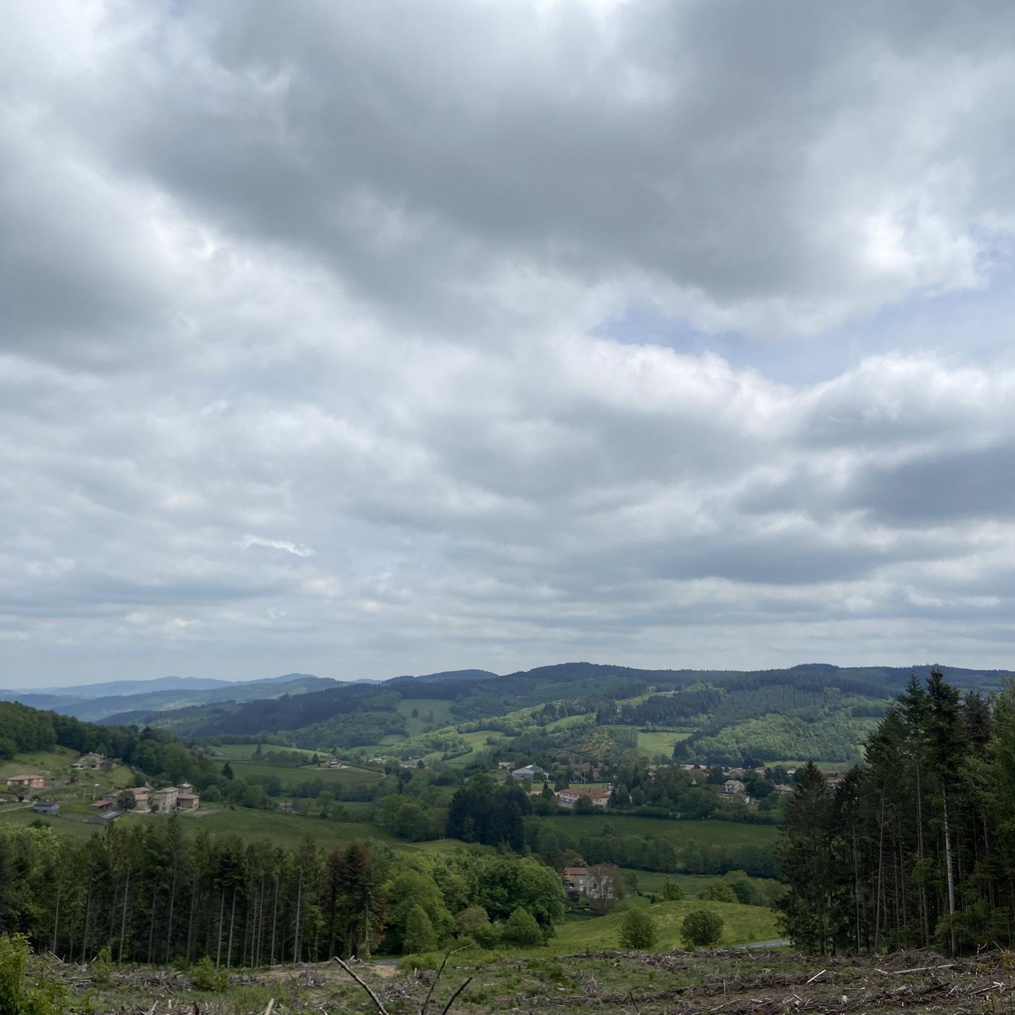
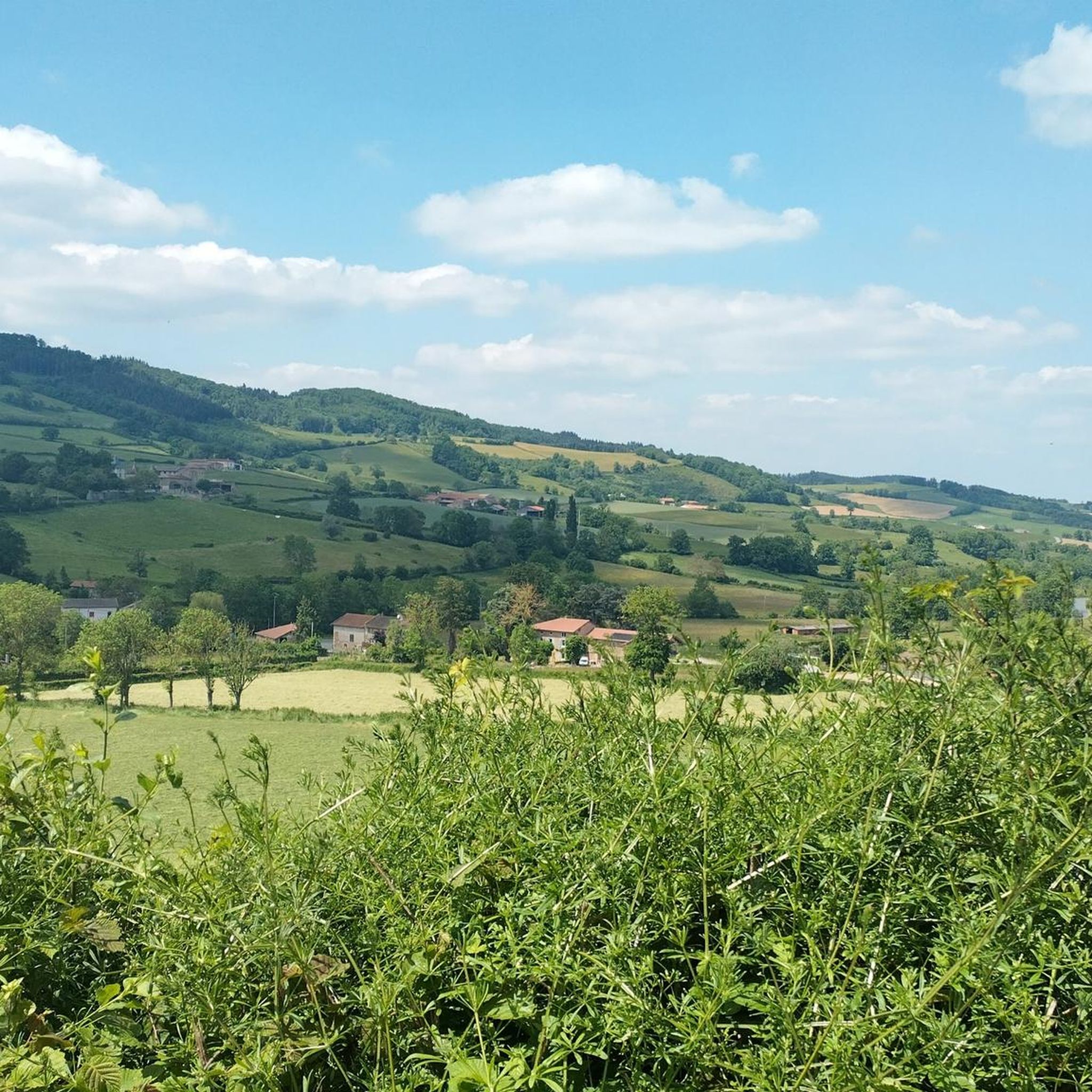
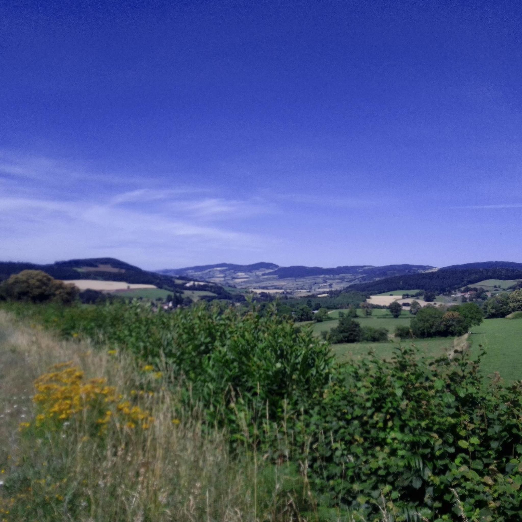
Mountain biking around Saint-Bonnet-Des-Bruyères offers access to extensive trail networks within the Brionnais region, bordering Haut Beaujolais and Southern Burgundy. The area is characterized by its natural setting, featuring mountains, ridges, forests, coombes, vineyards, and rolling hills. Situated at an elevation of 720 meters, the landscape provides varied terrain suitable for mountain biking.
Best mountain bike trails around Saint-Bonnet-Des-Bruyères
- The most popular mountain bike trail is Mount Saint-Rigaud – The Châtelard viaduct loop from Monsols, a 20.5 miles (33.0…
Last updated: July 1, 2026
4.5
(6)
33
riders
32.7km
03:21
940m
940m
Hard mountain bike ride. Very good fitness required. Suitable for all skill levels.
4.5
(8)
31
riders
40.0km
04:01
1,150m
1,150m
Hard mountain bike ride. Very good fitness required. Suitable for all skill levels.

Sign up for free
4.6
(5)
26
riders
30.0km
03:07
880m
880m
Moderate mountain bike ride. Good fitness required. Suitable for all skill levels.
14
riders
50.9km
05:24
1,520m
1,520m
Hard mountain bike ride. Very good fitness required. Advanced riding skills necessary. Some portions of the route may require you to push your bike.
3.0
(1)
7
riders
31.4km
03:17
970m
970m
Hard mountain bike ride. Very good fitness required. Advanced riding skills necessary.
Get access to more routes and recommendations from other explorers.
Sign up for free
Already have an account?
Our route recommendations are based on thousands of hikes, rides, and runs completed by other people on komoot.
Start today with a free account
Your next adventure awaits.
Login or Signup
Tips from the Community

The viewpoint is located in the well-known Beaujolais wine region, in the municipality of Chénas. It is an old stone ruin (historically often referred to as Cabane des Chasseurs or hunter's hut), which has been equipped with a modern metal staircase and a viewing platform. The ruin is located at 515 meters above sea level and offers hikers a spectacular 360-degree panoramic view of the surrounding vineyards and valleys of the region.
2
0
Imposing historic viaduct of a former railway line, built in 1909. The structure has a height of 27 meters and spans the Monsols valley. Today it is a popular destination for hiking and cycling tours.
0
0

Since a cross crowning the summit is often found on mountains, the small sacred monument found here – consisting only of the crossbeams, without the body of the crucified Christ – should come as no surprise to bikers. From its prominent location, this Christian symbol of salvation is visible from afar. The builders of the "Croix de Rochefort" certainly also intended to invoke God's blessing on the surrounding land – and especially the people living there. An orientation panel located a little way off explains the landscape to the viewer.
0
0

The roof of the Rhône, beautiful view of the upper Beaujolais
1
0
This old railway line is magnificent, all this work for having only been used for a few years.
1
0
cabin in the woods, shame it's not maintained
1
0

An imposing 6-meter white cross erected in 1931, weighing 1,200 kg and visible from Beaujeu. A symbol of protection for the Beaujolais region, it bears witness to a remarkable logistical feat during its installation.
0
0
The highest point at 892 meters offers an exceptional panorama of Beaujolais. Accessible by several routes, it represents a sporting challenge rewarded by breathtaking views.
1
0
Frequently Asked Questions
How many mountain bike trails are available around Saint-Bonnet-Des-Bruyères?
There are over 60 mountain bike trails around Saint-Bonnet-Des-Bruyères, offering a wide range of options for different skill levels. The komoot community has explored these routes over 200 times.
Are there easy mountain bike trails suitable for beginners or families?
Yes, Saint-Bonnet-Des-Bruyères offers a few easy mountain bike trails. While most routes are moderate to difficult, there are 2 easy trails available. The broader Burgundy region also features beginner-friendly options like the 'Tour of the Rocks of Solutré and Vergisson', a 27 km trail with varied terrain.
What kind of terrain can I expect on the mountain bike trails?
The terrain around Saint-Bonnet-Des-Bruyères is diverse, characterized by mountains, ridges, forests, coombes, vineyards, and rolling hills. Situated at an elevation of 720 meters, you can expect significant elevation changes and varied landscapes, from challenging climbs to scenic descents.
What are some of the longer mountain bike routes in the area?
For those looking for a longer ride, the Croix de Rochefort Viewpoint – Col du Fût d'Avenas loop from Monsols is a challenging 53.3 km trail. Another substantial option is The Châtelard viaduct – Mount Saint-Rigaud loop from Saint-Pierre-le-Vieux, which covers 40.1 km.
Are there any circular mountain bike routes?
Many of the mountain bike trails around Saint-Bonnet-Des-Bruyères are designed as loops. For example, the popular Mount Saint-Rigaud – The Châtelard viaduct loop from Monsols is a 33.0 km circular route. Another option is the Rochefort Cross – La Croix Gallet loop from Monsols, which is 30.0 km long.
What is the best season for mountain biking in Saint-Bonnet-Des-Bruyères?
The region's diverse landscapes, including forests and rolling hills, make it suitable for mountain biking across multiple seasons. Spring and autumn generally offer pleasant temperatures and vibrant scenery. Summer provides longer daylight hours, while winter can be challenging due to higher elevations and potential weather conditions.
What do other mountain bikers enjoy most about the trails here?
The trails around Saint-Bonnet-Des-Bruyères are highly rated by the komoot community, with an average score of 4.4 stars. Reviewers often praise the varied terrain, the challenging climbs, and the scenic beauty of the Brionnais region, bordering Haut Beaujolais and Southern Burgundy.
Are there any notable landmarks or attractions along the mountain bike routes?
Yes, the area offers several points of interest. You can encounter mountain passes like Col de Crie, 622 m and Écharmeaux Pass. Peaks such as Mount Saint-Rigaud, which is part of several routes, also offer impressive views. The region is also close to the historic city of Cluny.
Can I bring my dog on the mountain bike trails?
While specific regulations for dogs on these mountain bike trails are not detailed, generally, dogs are welcome on many outdoor trails in France, especially in rural areas. It's always advisable to keep your dog on a leash, especially near livestock or in protected natural areas, and to ensure they are well-behaved and don't disturb wildlife or other trail users.
Are there mountain bike trails with good viewpoints?
Given Saint-Bonnet-Des-Bruyères's location "at the top of the ridges" at 720 meters, many trails offer excellent views. Routes that ascend to peaks like Mount Saint-Rigaud or pass through areas like the Croix de Rochefort are likely to provide panoramic vistas of the surrounding Brionnais and Beaujolais landscapes.
What is the difficulty level of the mountain bike trails?
The mountain bike trails around Saint-Bonnet-Des-Bruyères cater to various skill levels. There are 2 easy trails, 42 moderate trails, and 18 difficult trails. This means you can find routes suitable for a relaxed ride or a challenging adventure with significant elevation gain.
Where can I find more information about mountain biking in the wider Burgundy region?
For more information on mountain biking opportunities in the broader Burgundy region, including the 'Les hauts du Brionnais' area, you can visit the official Burgundy tourism website. They provide details on various MTB itineraries and trails and highlight the best places for MTB in Burgundy.
Most popular routes around Saint-Bonnet-Des-Bruyères
Most popular attractions around Saint-Bonnet-Des-Bruyères

Get inspired with the komoot mobile app


Explore more
Browse the best MTB trails in other regions.
