The best running trails around Saint-Bonnet-Des-Bruyères
4.6
(17)
861
runners
125
runs
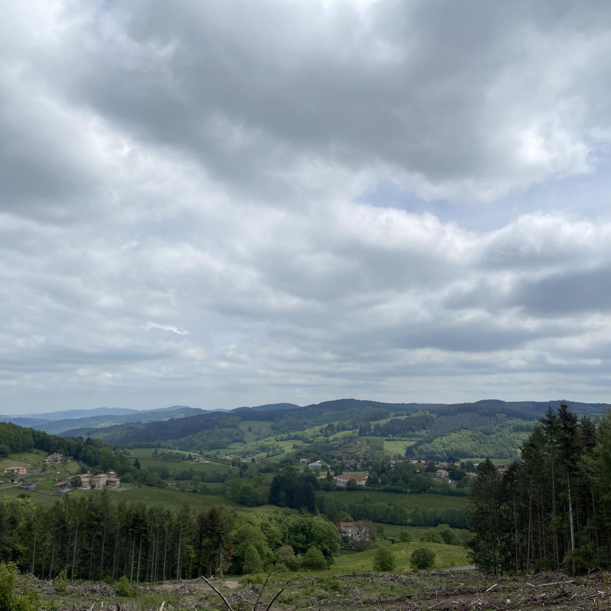
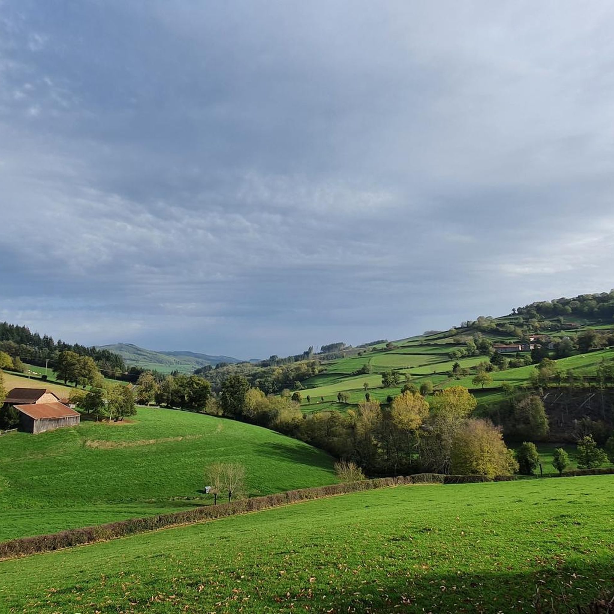
Jogging around Saint-Bonnet-Des-Bruyères offers diverse terrain in the Haut-Beaujolais region of France, with altitudes ranging from 560 meters to 800 meters. The landscape features alternating prairies and forests, providing varied running experiences. This area is uniquely positioned on a hydrological divide, with rivers flowing towards both the Atlantic and the Mediterranean. The topography ensures a mix of gentle slopes and more challenging ascents for runners.
Best jogging routes around Saint-Bonnet-Des-Bruyères
- The most popular jogging route is Mount Saint-Rigaud – Champ…
Last updated: June 27, 2026
5.0
(1)
61
runners
24.3km
03:09
890m
890m
Hard run. Very good fitness required. Mostly paved surfaces. Suitable for all skill levels.
72
runners
32.4km
04:10
1,210m
1,210m
Hard run. Very good fitness required. Mostly paved surfaces. Suitable for all skill levels.

Sign up for free
31
runners
32.6km
04:18
1,260m
1,260m
Hard run. Very good fitness required. Mostly paved surfaces. Suitable for all skill levels.
26
runners
11.5km
01:29
400m
400m
Hard run. Very good fitness required. Mostly paved surfaces. Suitable for all skill levels.
11
runners
18.4km
02:26
660m
660m
Hard run. Very good fitness required. Mostly paved surfaces. Suitable for all skill levels.
Get access to more routes and recommendations from other explorers.
Sign up for free
Already have an account?
Our route recommendations are based on thousands of hikes, rides, and runs completed by other people on komoot.
Start today with a free account
Your next adventure awaits.
Login or Signup
Tips from the Community

Imposing historic viaduct of a former railway line, built in 1909. The structure has a height of 27 meters and spans the Monsols valley. Today it is a popular destination for hiking and cycling tours.
0
0

The roof of the Rhône, beautiful view of the upper Beaujolais
1
0
This old railway line is magnificent, all this work for having only been used for a few years.
1
0
cabin in the woods, shame it's not maintained
1
0

Great area for a vacation. We recommend.
2
0

This little cabin in the woods is abandoned. If the exterior appears well maintained, the interior is quite degraded.
1
0
La Roche d’Ajoux is the second summit of the Beaujolais mountains, behind Mont Saint-Rigaud. It peaks at 970 meters above sea level. The panorama at the summit extends over the Azergues valley, the Forez and Madeleine mountains, the Charolais and Mont Rigaud.
1
0

The highest point of the Rhône 1009m above sea level, beautiful view at the top of the tower
2
0
Frequently Asked Questions
How many running routes are available in Saint-Bonnet-Des-Bruyères?
There are over 120 running routes available around Saint-Bonnet-Des-Bruyères, offering a wide variety of distances and difficulty levels for joggers of all abilities.
What kind of terrain can I expect when running in Saint-Bonnet-Des-Bruyères?
The region is characterized by its diverse terrain, alternating between picturesque prairies and dense forests. You'll find varied topography with altitudes ranging from 560 meters to 800 meters, ensuring a mix of gentle slopes and more challenging ascents.
Are there any easy running routes suitable for beginners or a quick jog?
Yes, Saint-Bonnet-Des-Bruyères offers several easier options. For instance, the local "L'église" Circuit is a 5 km loop, ideal for beginners or a refreshing run. Overall, there are 4 easy routes listed in the area.
What makes running in Saint-Bonnet-Des-Bruyères unique?
The area is uniquely positioned on a hydrological divide, where rivers flow towards both the Atlantic and the Mediterranean. This, combined with the alternating prairies and forests and the potential for panoramic views of Mont Blanc from points like the Grande Roche, offers a distinctive running experience.
What do other runners say about the trails in Saint-Bonnet-Des-Bruyères?
The running routes in Saint-Bonnet-Des-Bruyères are highly rated by the komoot community, with an average score of 4.25 stars from over 8 reviews. More than 850 runners have used komoot to explore the varied terrain, often praising the scenic beauty and diverse challenges.
Can I find circular running routes in Saint-Bonnet-Des-Bruyères?
Yes, many of the routes in the area are circular. For example, the local "L'église" (5 km), "Croix" (11 km), and "Moulins" (22 km) circuits are all loops starting from the village church. You can also find longer circular routes like the Running loop from Saint-Igny-de-Vers.
Are there any long-distance running challenges in the area?
Absolutely. For those seeking a significant challenge, routes like the La Roche d'Ajoux – Mount Saint-Rigaud loop from Saint-Igny-de-Vers span nearly 38 km with substantial elevation gain, offering an extensive exploration of the Haut-Beaujolais region.
What are some notable landmarks or points of interest I might see while running?
Along your runs, you might encounter several interesting points. The Mount Saint-Rigaud is a prominent summit, and the Croix d'Ajoux is a religious building highlight. The local "Croix" circuit passes near the Statue de la Salette and the unique "Œuvre du partage des eaux" artwork, highlighting the area's hydrological divide.
Are there any routes that offer panoramic views?
Yes, the region offers several viewpoints. On clear days, runners on the longer "Moulins" Circuit (22 km) can enjoy a stunning panoramic view of Mont Blanc from the Grande Roche. Other routes, especially those with significant elevation, often provide scenic vistas over the alternating prairies and forests.
Where is a good starting point for running routes in Saint-Bonnet-Des-Bruyères?
Many of the local pedestrian circuits, including the "L'église," "Croix," and "Moulins" loops, conveniently start from the village church in Saint-Bonnet-Des-Bruyères. This central location makes it easy to access various trails.
Are there any routes that explore the Sornin valley?
Yes, the scenic Sornin valley is a notable natural feature of the region, and several running routes will take you through or near it, allowing you to experience its picturesque landscapes.
What is the best time of year to go running in Saint-Bonnet-Des-Bruyères?
The diverse landscapes of Saint-Bonnet-Des-Bruyères are enjoyable throughout much of the year. Spring and autumn offer pleasant temperatures and beautiful scenery, while summer provides longer daylight hours. Winter running is also possible, though conditions may vary with snow or ice at higher elevations.
Most popular routes around Saint-Bonnet-Des-Bruyères
Most popular attractions around Saint-Bonnet-Des-Bruyères

Get inspired with the komoot mobile app


Explore more
Browse the best Running Trails & Routes in other regions.
