Easy hikes and walks in Nature Park Region Reutte
4.5
(21081)
106,037
hikers
561
hikes
Easy hiking trails in Nature Park Region Reutte traverse a diverse landscape featuring parts of the Allgäu and Lechtal Alps, alongside the wild Lech river. The region is characterized by picturesque, turquoise-blue lakes such as the Alatsee and Plansee, and offers a mix of lush alpine meadows and dense spruce and deciduous forests. Elevation gains are generally moderate, making the terrain accessible for easy walks. This natural setting provides varied scenery for hikers of all levels.
Best easy hiking trails in Nature Park Region Reutte
- The most popular easy hiking route is Circular hiking trail Ruine Vilsegg - Salober Alm - Vils, a 3.3 miles (5.4 km) trail that takes 1 hour 50 minutes to complete, offering views of historic ruins and alpine pastures.
- Another top favourite among local hikers is Hike to Ehrenberg Ruin, an easy 3.3 miles (5.3 km) path. This route leads to the imposing Ehrenberg Castle Ensemble, providing historical insights and panoramic views.
- Local hikers also love the Along Plansee, a 3.3 miles (5.3 km) trail leading through lakeside scenery, often completed in about 1 hour 25 minutes.
- Hiking in Nature Park Region Reutte is defined by mountain backdrops, wild river landscapes, and serene lakes. The extensive network offers options for different ability levels, including many easy hiking trails suitable for families.
- The routes in Nature Park Region Reutte are highly rated by the komoot community with an average score of 4.6 stars from over 20,000 reviews. More than 100,000 hikers have used komoot to explore Nature Park Region Reutte's varied terrain.
Last updated: May 24, 2026
4.6
(164)
620
hikers
5.36km
01:50
270m
270m
Easy hike. Great for any fitness level. Easily-accessible paths. Suitable for all skill levels.
4.6
(22)
184
hikers
5.30km
01:26
70m
60m
Easy hike. Great for any fitness level. Easily-accessible paths. Suitable for all skill levels.

Sign up for free
4.4
(35)
220
hikers
5.34km
01:38
190m
190m
Easy hike. Great for any fitness level. Easily-accessible paths. Suitable for all skill levels.
4.8
(291)
2,539
hikers
3.14km
00:59
120m
120m
Easy hike. Great for any fitness level. Easily-accessible paths. Suitable for all skill levels.
4.9
(163)
940
hikers
Easy hike. Great for any fitness level. Easily-accessible paths. Suitable for all skill levels.
Get access to more routes and recommendations from other explorers.
Sign up for free
Already have an account?
Our route recommendations are based on thousands of hikes, rides, and runs completed by other people on komoot.
Start today with a free account
Your next adventure awaits.
Login or Signup
Popular around Nature Park Region Reutte
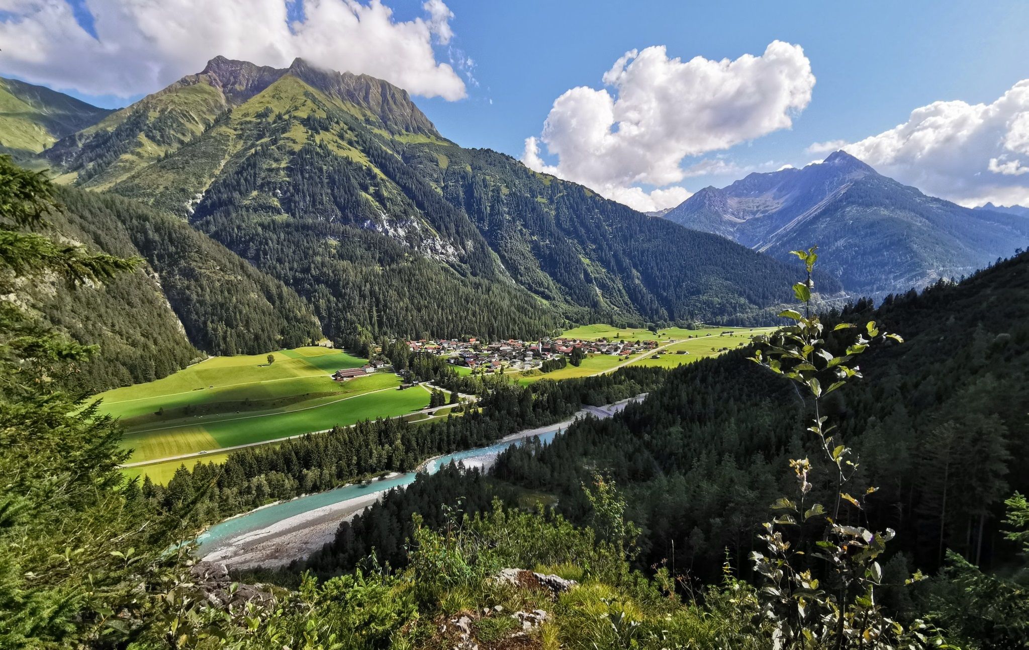
The Lechweg — eight days on Austria's wildest river
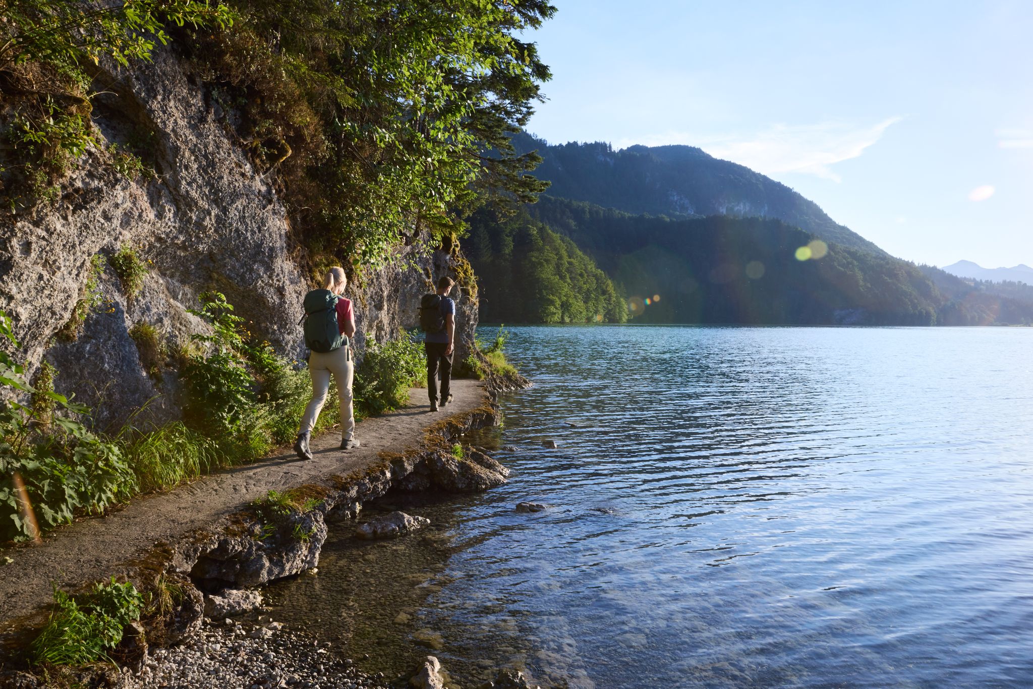
Lechloops – wonderful hiking along the wild Lech
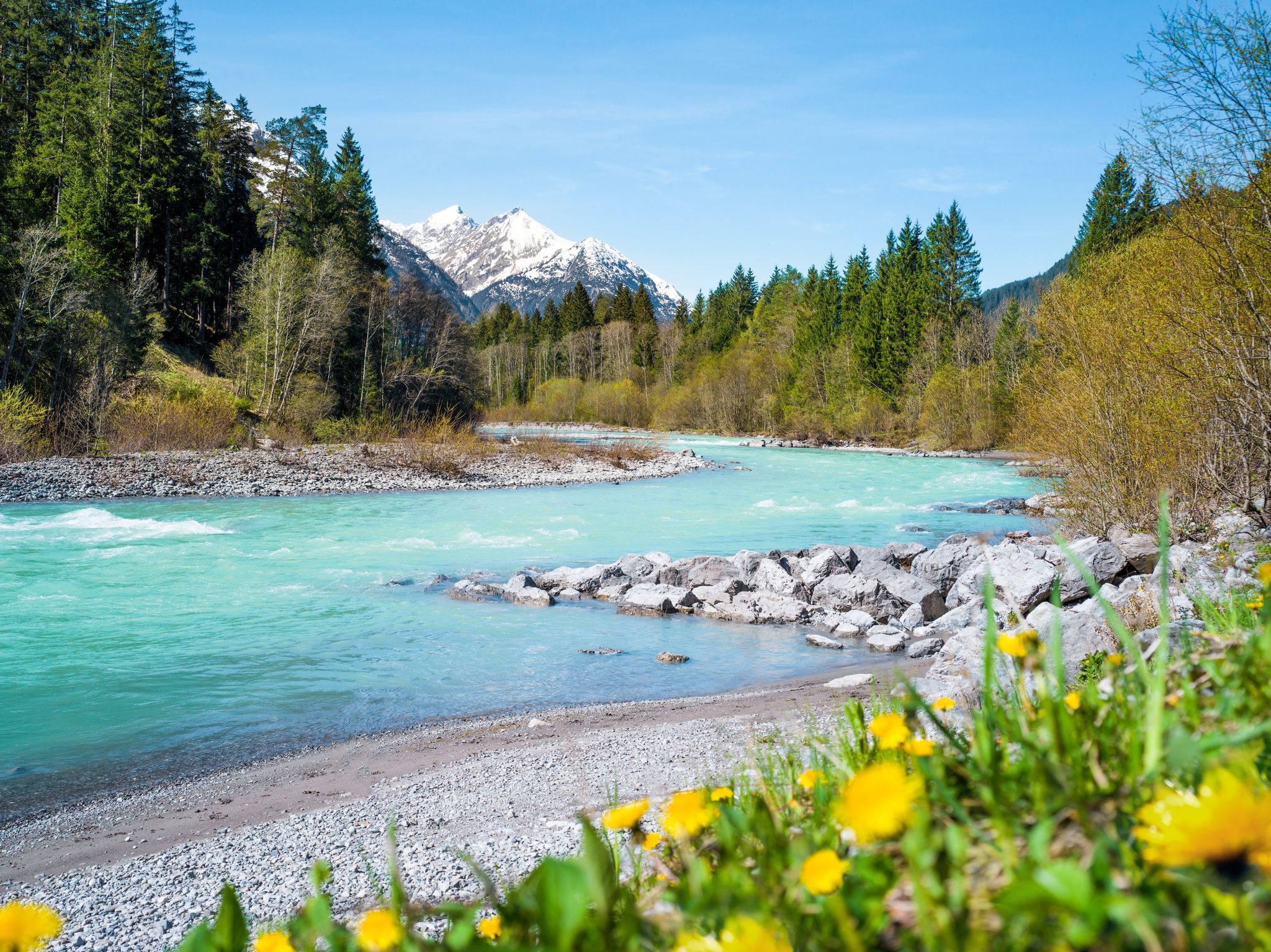
Multi-day hiking against the flow – the Lechweg in reverse
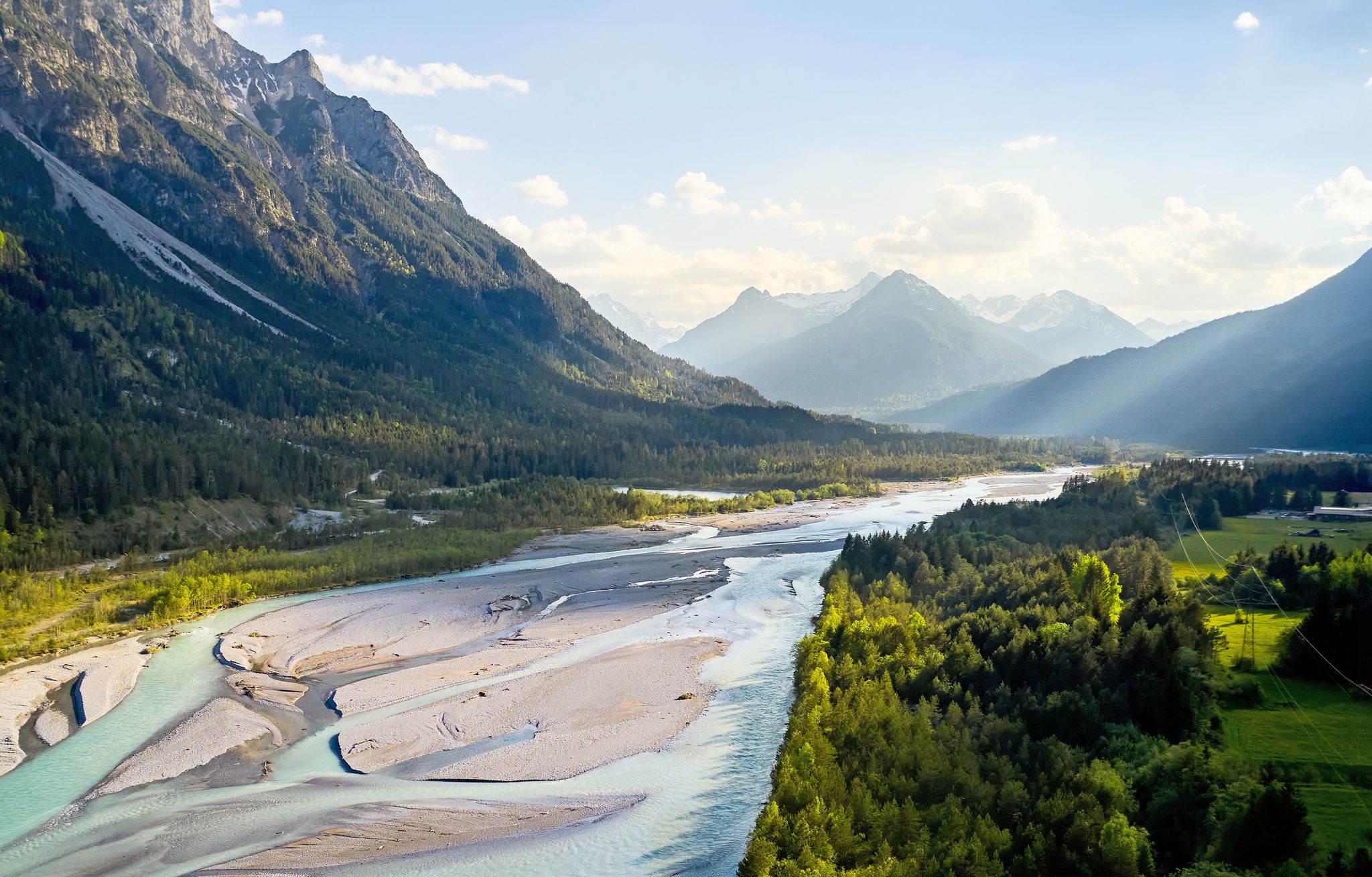
Lechweg – follow the wild river through the mountains
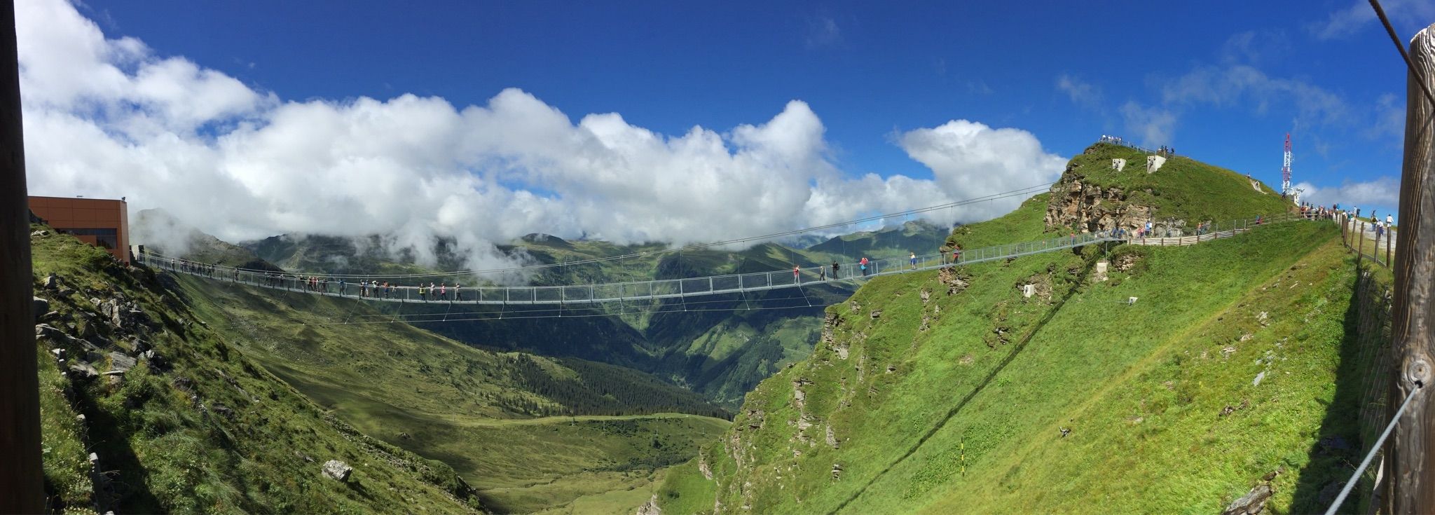
Spectacular suspension bridges
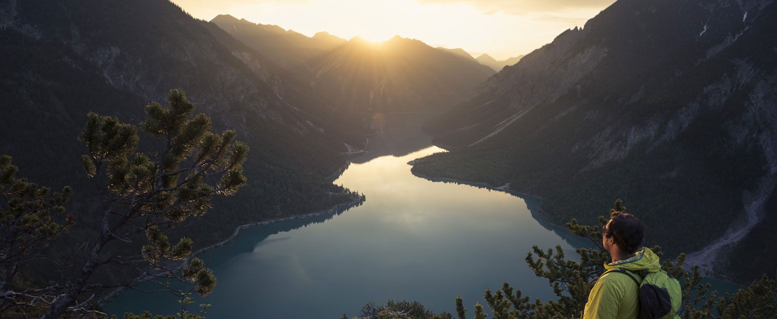
Hut tours around Reutte
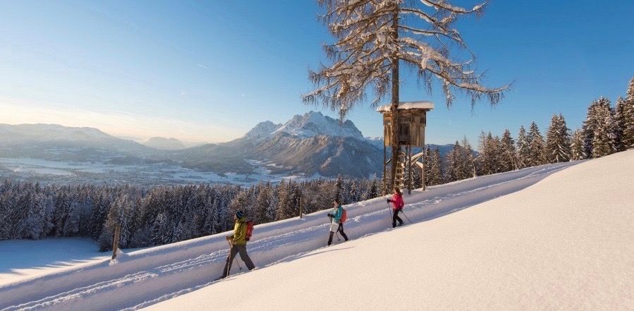
Winter wonderland — hiking in the Tyrolean Alps
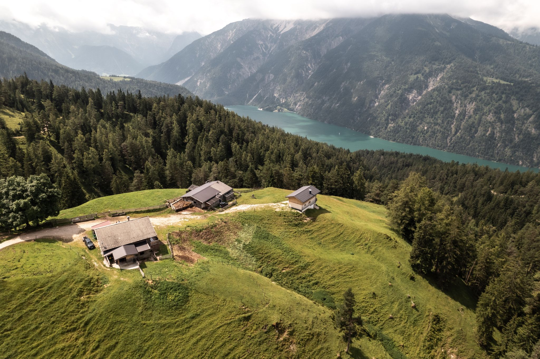
Lakes'n'Knödel – Bikepacking adventure with a taste of the Alps

Experience the Außerfern in Tyrol's largest gravel bike region
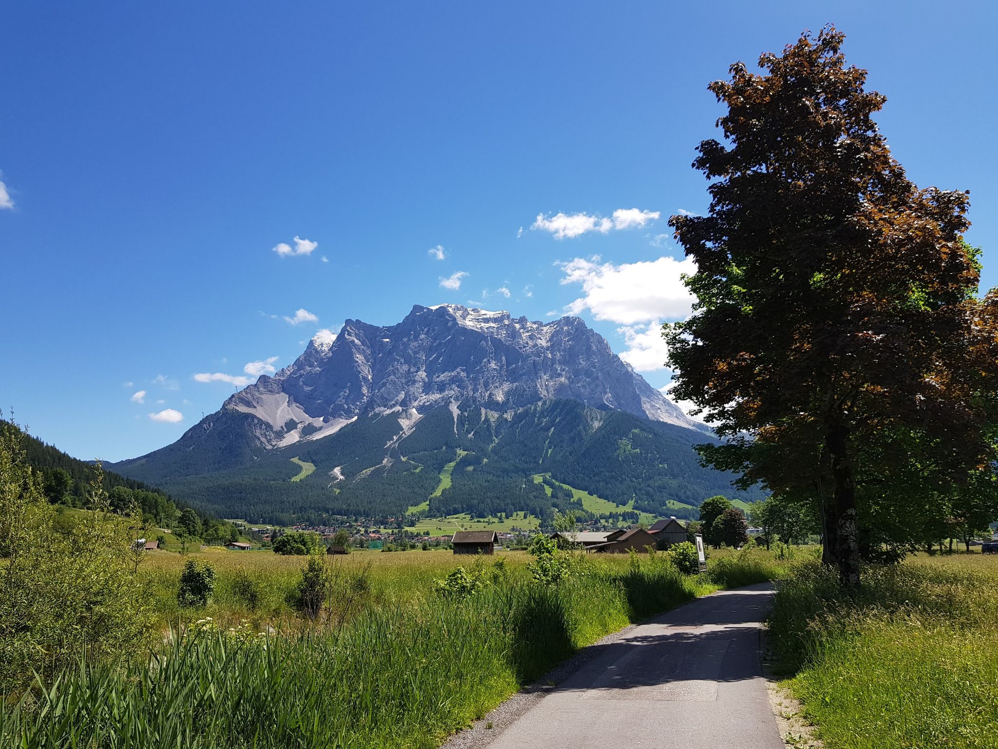
Bikepacking around Germany’s immense Zugspitze
Other adventures in Nature Park Region Reutte


Tips from the Community

Delicious food and reasonable prices. Cheese lovers should pick up a slice ;-)
0
0

Beautiful hiking trail to the Salober Alm
0
0


Höfen / Reutte in Austria: Every hiker should visit the suspension bridge near the Ehrenberg Castle ruins (as long as they are "sea-loving"), as it is both an experience and a change of scenery.
1
0


simply beautiful and relaxing.
0
0
Frequently Asked Questions
How many easy hiking trails are available in Nature Park Region Reutte?
Nature Park Region Reutte offers a wide selection of easy hiking trails, with over 240 routes specifically categorized as easy. These trails traverse diverse landscapes, from wild river valleys to serene lake shores.
Are there easy hiking trails suitable for families in Nature Park Region Reutte?
Yes, the region is very family-friendly. Many easy hiking trails are perfect for all ages, featuring moderate terrain and picturesque scenery. For instance, the Along Plansee route offers a pleasant lakeside walk, and the Alatsee, mentioned in regional research, is known for its idyllic and easy circular trail, ideal for families.
Can I bring my dog on easy hikes in Nature Park Region Reutte?
Generally, dogs are welcome on many trails in Nature Park Region Reutte. It's always advisable to keep them on a leash, especially in nature protection areas or near livestock. The diverse landscapes, including riverbanks and forest paths, provide excellent opportunities for walks with your canine companion.
Are there any easy circular hiking routes in the region?
Yes, Nature Park Region Reutte features several easy circular hiking routes. A popular option is the Circular hiking trail Ruine Vilsegg - Salober Alm - Vils, which offers views of historic ruins and alpine pastures. The Alatsee also provides an easy circular trail, perfect for a leisurely stroll.
What natural attractions can I see on easy hikes in Nature Park Region Reutte?
Easy hikes in the region often lead to stunning natural attractions. You can explore the wild and romantic Lech river landscape, discover picturesque turquoise-blue lakes like the Plansee, or visit the impressive Stuiben Falls. The Lechtal between Weißenbach and Reutte is also a beautiful natural highlight.
Are there historical landmarks or cultural sights accessible on easy trails?
Absolutely. Many easy trails in Nature Park Region Reutte incorporate historical and cultural sights. For example, the Hike to Ehrenberg Ruin leads directly to the imposing Ehrenberg Castle Ruins and the spectacular highline179 suspension bridge. The ancient Roman road, Via Claudia Augusta, also offers historical context for some routes.
What is the best time of year for easy hiking in Nature Park Region Reutte?
The best seasons for easy hiking in Nature Park Region Reutte are generally spring to fall. During these months, the landscape is vibrant with blooming meadows and forests, temperatures are mild, and days are long, providing ideal conditions for exploring the trails.
Are there options for winter hiking in Nature Park Region Reutte?
Yes, even in winter, the Nature Park Region Reutte transforms into a 'white winter wonderland.' There are over 140 kilometers of winter hiking trails, and opportunities for guided snowshoe tours, offering a different, serene experience of the landscape.
Where can I find parking for easy trailheads in Nature Park Region Reutte?
Parking facilities are generally available near popular trailheads throughout the Nature Park Region Reutte, especially at major attractions and lake access points. For specific routes like the Alatsee or Plansee, designated parking areas are usually well-signposted.
Is public transport available to reach easy hiking trails?
Public transport options are available within the Nature Park Region Reutte, making many trailheads accessible without a car. It's recommended to check local bus schedules for specific routes and destinations to plan your journey effectively.
Are there places to stop for refreshments or food along easy hiking routes?
Yes, the region is well-equipped with amenities for hikers. You'll find numerous alpine pastures and huts, with 18 in total, providing welcoming stops for refreshments and food along various routes. Many lakeside trails also have cafes or restaurants nearby.
What do other hikers enjoy the most about hiking in Nature Park Region Reutte?
The Nature Park Region Reutte is highly rated by the komoot community, with an average score of 4.6 stars from over 20,000 reviews. Hikers often praise the diverse mountain backdrops, the wild river landscapes, and the serene lakes, highlighting the varied and accessible terrain for all ability levels.
Can I find easy trails that offer views of the Lech river?
Absolutely. The wild and romantic Lech river is a defining feature of the region. Trails like View of the Tegelberg – Lech riverbank on the Auwaldpfad loop from Füssen or Lechausee – Lechsteg Weißenbach loop from Weißenbach am Lech provide excellent opportunities to experience its untamed beauty and wide gravel banks.
Most popular routes in Nature Park Region Reutte
Most popular attractions in Nature Park Region Reutte

Get inspired with the komoot mobile app


Explore more
Browse the best Hikes in other regions.
