The best walks and hikes in Nature Park Region Reutte
4.5
(21469)
107,269
hikers
558
hikes
Hiking trails in Nature Park Region Reutte traverse a diverse landscape at the German-Austrian border, characterized by the Lechtal Alps and Ammer Mountains. The region features majestic peaks, green valleys, and the wild River Lech, offering varied terrain for outdoor activities. Numerous crystal-clear lakes like Plansee and Alatsee are prominent natural features, alongside dense forests and alpine pastures. This area provides a network of well-maintained hiking trails suitable for various experience levels.
Best hiking trails in Nature Park Region Reutte
…Last updated: July 4, 2026
4.7
(217)
1,477
hikers
6.32km
02:07
330m
330m
Hard hike. Good fitness required. Sure-footedness, sturdy shoes and alpine experience required.
4.6
(176)
648
hikers
5.36km
01:50
270m
270m
Easy hike. Great for any fitness level. Easily-accessible paths. Suitable for all skill levels.

Sign up for free
4.8
(166)
813
hikers
9.33km
04:49
840m
840m
Hard hike. Good fitness required. Sure-footedness, sturdy shoes and alpine experience required.
4.7
(150)
708
hikers
18.3km
05:42
700m
700m
Hard hike. Very good fitness required. Easily-accessible paths. Suitable for all skill levels.
4.8
(1129)
5,109
hikers
10.4km
02:43
80m
80m
Moderate hike. Good fitness required. Easily-accessible paths. Suitable for all skill levels.
Get access to more routes and recommendations from other explorers.
Sign up for free
Already have an account?
Our route recommendations are based on thousands of hikes, rides, and runs completed by other people on komoot.
Start today with a free account
Your next adventure awaits.
Login or Signup
Popular around Nature Park Region Reutte
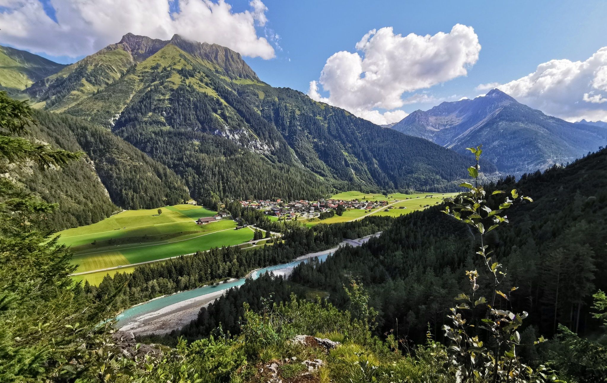
The Lechweg — eight days on Austria's wildest river
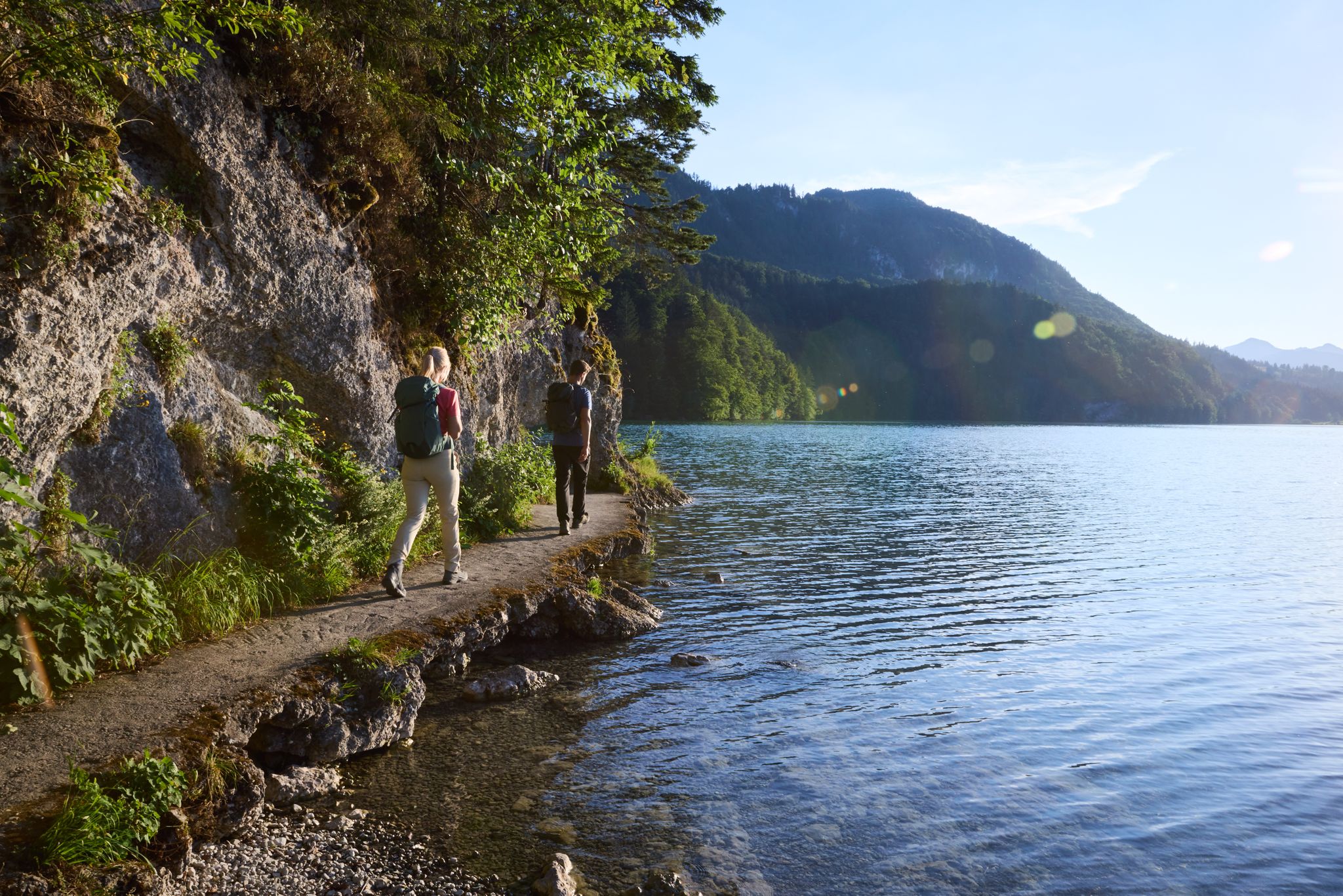
Lechloops – wonderful hiking along the wild Lech
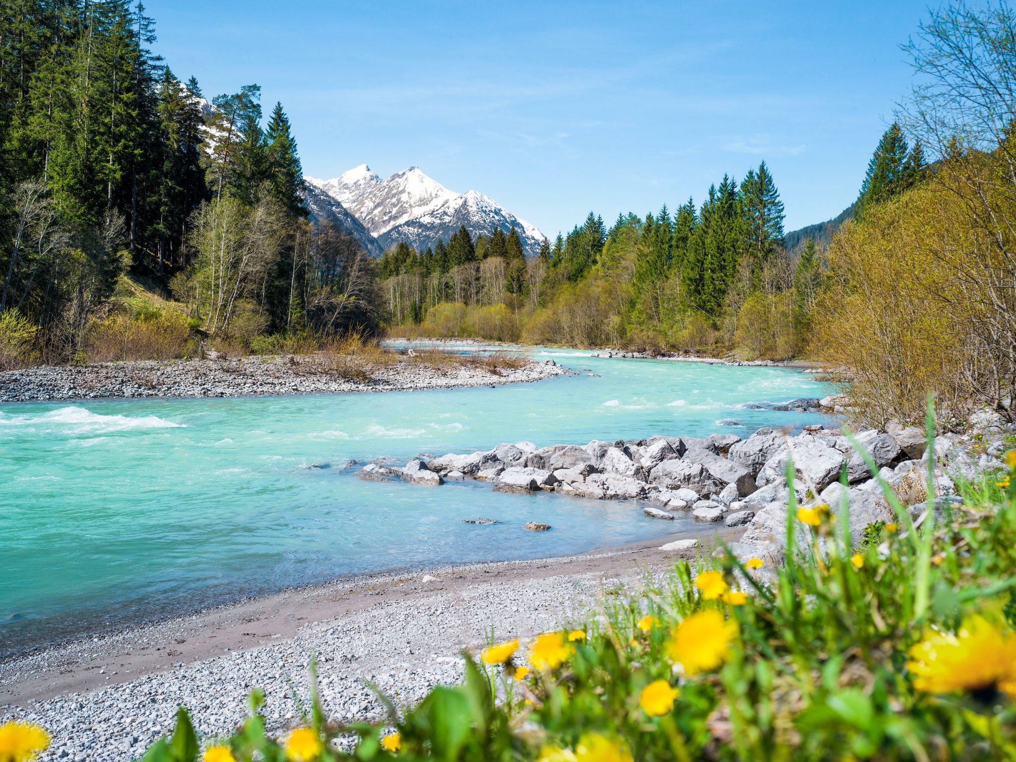
Multi-day hiking against the flow – the Lechweg in reverse
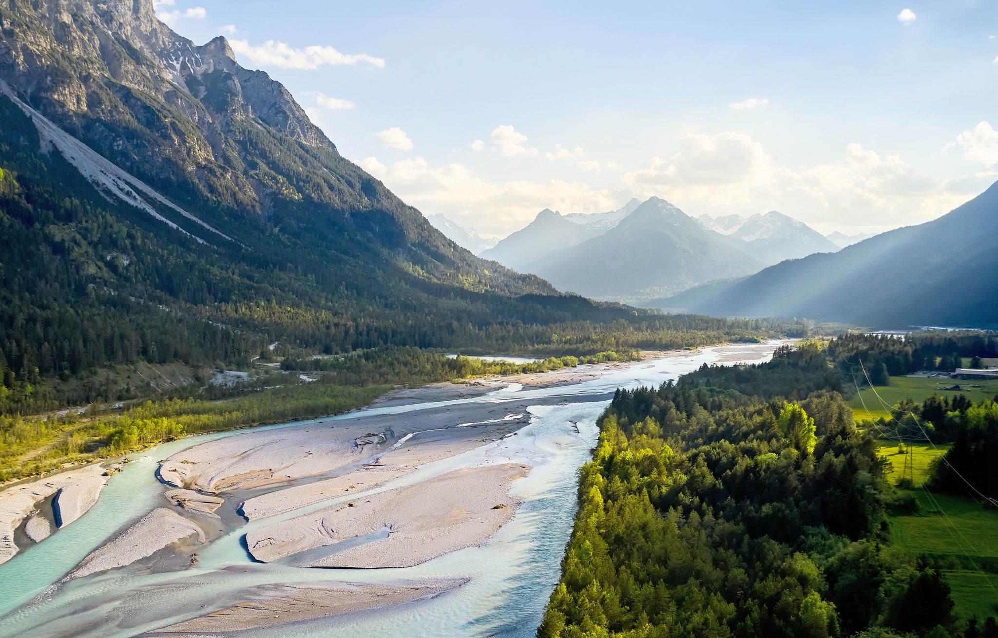
Lechweg – follow the wild river through the mountains
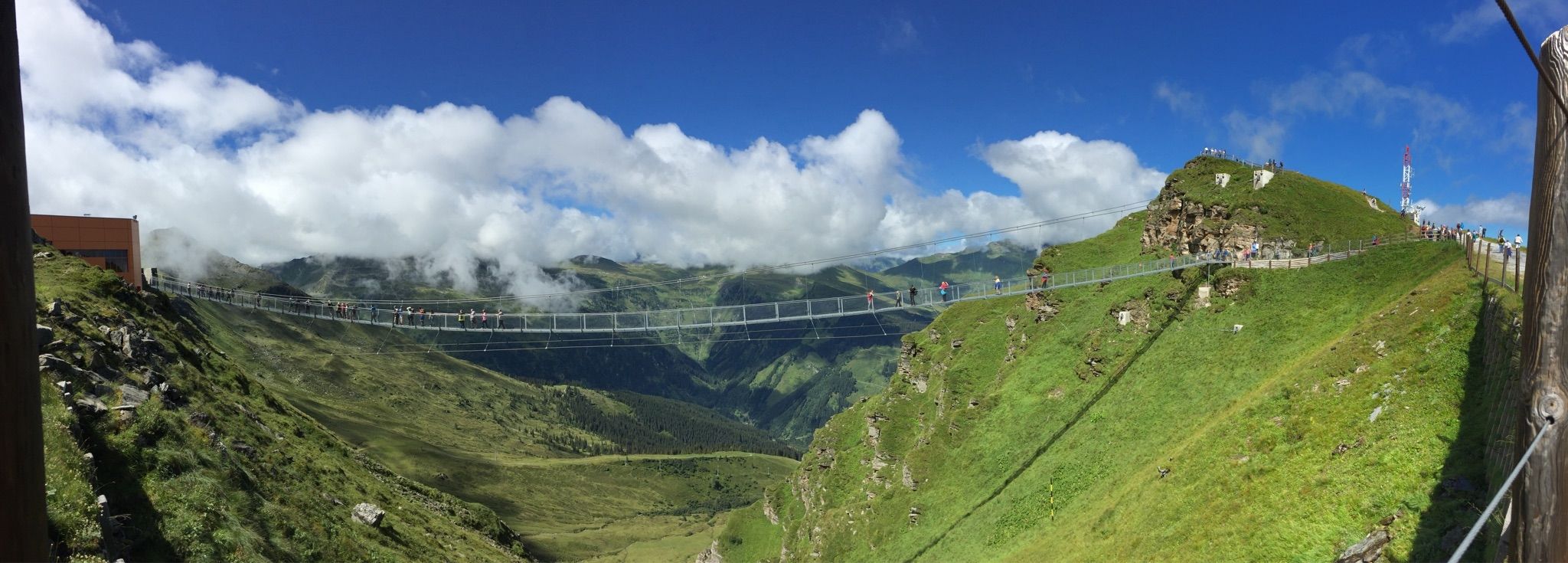
Spectacular suspension bridges
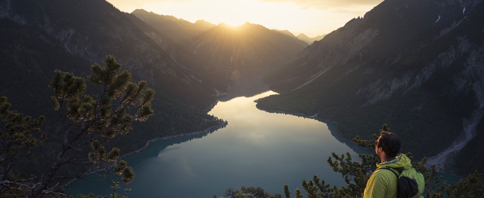
Hut tours around Reutte
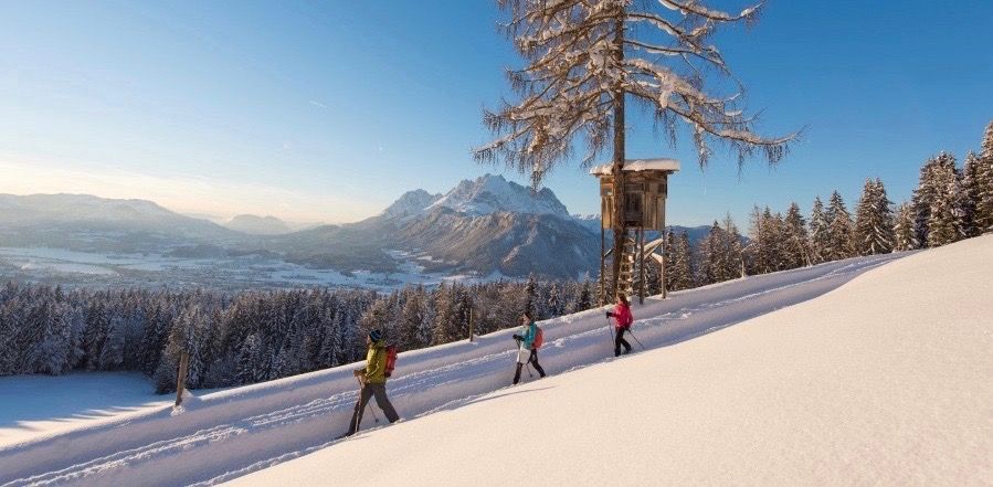
Winter wonderland — hiking in the Tyrolean Alps
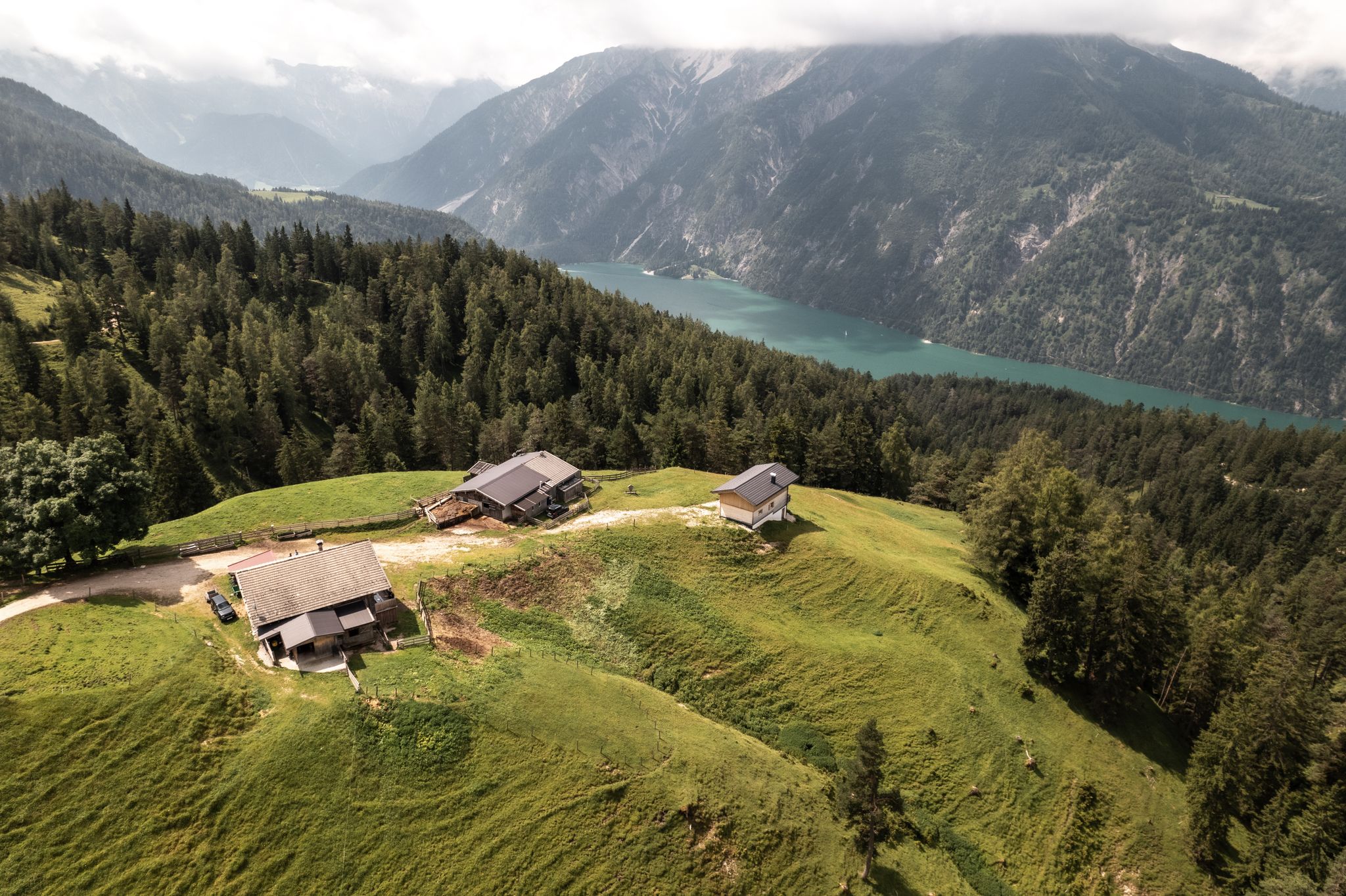
Lakes'n'Knödel – Bikepacking adventure with a taste of the Alps

Experience the Außerfern in Tyrol's largest gravel bike region
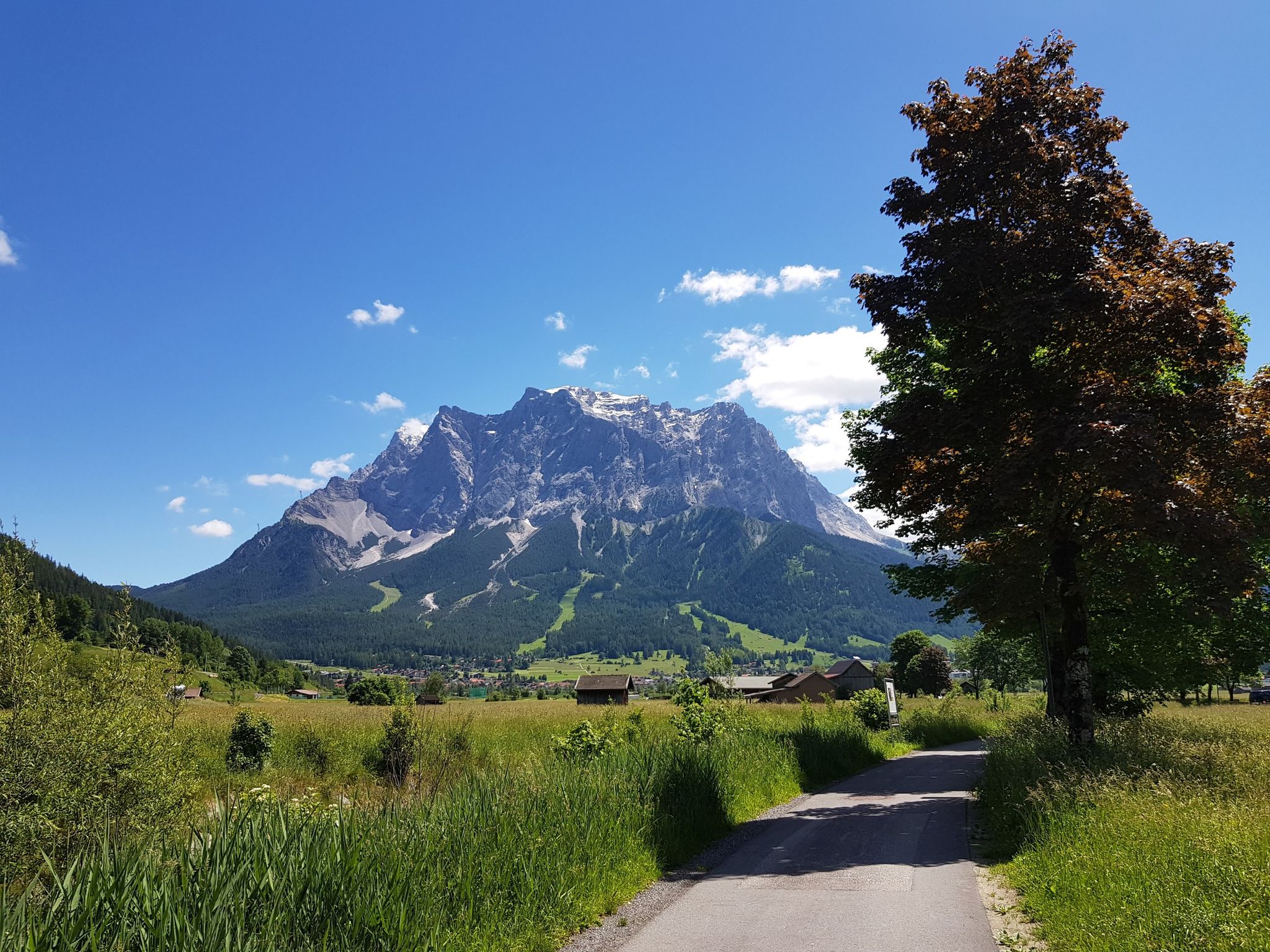
Bikepacking around Germany’s immense Zugspitze
Other adventures in Nature Park Region Reutte


Tips from the Community

Beautiful lake can be circled in approx. 1.5 hours
0
0

There are many beautiful MTB trails to discover here.
0
0

Beautiful hiking trail to the Salober Alm
0
0

The Vilseralm offers a wide variety of food and drinks. The view is magnificent, and the staff is very friendly! 👍
8
0

Very nice alpine pasture with friendly hosts 🤗 The food is very tasty 😋
3
0

Great alpine pasture with friendly service and delicious food, several hikes are possible from here!!! 👍
3
0


Frequently Asked Questions
How many hiking trails are available in the Nature Park Region Reutte?
The Nature Park Region Reutte offers a vast network of over 560 hiking trails, catering to all experience levels. You'll find everything from easy lakeside strolls to challenging alpine ascents.
What is the best time of year for hiking in the Nature Park Region Reutte?
The ideal time for hiking in the Nature Park Region Reutte is from spring to fall. During these seasons, the weather is generally mild, and the natural scenery, from vibrant valleys to clear lakes, is at its most beautiful.
Are there any easy circular hikes suitable for families in the Nature Park Region Reutte?
Yes, there are many easy circular routes. A great option is the Circular hiking trail Ruine Vilsegg - Salober Alm - Vils, which is an easy 3.3-mile (5.4 km) path leading past historical ruins and through alpine pastures. The idyllic Alatsee also offers an easy circular trail perfect for families.
What kind of natural features can I expect to see on hikes in this region?
The region is rich in natural beauty, featuring majestic peaks of the Lechtal Alps and Ammer Mountains, green valleys, and the untamed River Lech. You'll also encounter numerous crystal-clear lakes like Plansee and Heiterwanger See, as well as dense forests and alpine pastures. The Plansee, Tyrol's second-largest lake, is a particular highlight.
Are there any challenging hikes with significant elevation gain?
Absolutely. For those seeking a challenge, routes like To Dürrenberg Alm and beyond offer substantial elevation gain, climbing over 840 meters. Another demanding option is On the Raintalweg to Füssener Hütte, which also features significant ascents through mountain terrain.
What are some notable landmarks or attractions I can visit while hiking?
The region offers several impressive landmarks. The Ehrenberg Castle Ensemble, including the ruins of Ehrenberg Castle and Fort Claudia, is a must-see. It's connected by the thrilling highline179, one of the world's longest pedestrian suspension bridges. You can also explore the Iron ore adit near Weissenbach am Lech, or visit the nearby Neuschwanstein Castle.
Are there any hikes that feature waterfalls?
Yes, the Stuiben Falls offer a fantastic hiking experience. Trails in this area combine the thundering waterfalls with airy suspension bridges and peaceful forest paths, particularly near the Plansee.
What do other hikers think about the trails in Nature Park Region Reutte?
The trails in Nature Park Region Reutte are highly regarded by the komoot community, with an average rating of 4.6 stars from over 20,000 reviews. Hikers often praise the diverse landscapes, well-maintained paths, and the stunning views of the lakes and mountains.
Can I find hikes that lead to alpine huts for refreshments?
Yes, many trails lead to alpine huts where you can stop for refreshments. For example, the route To Vilser Alm takes you directly to an alpine hut, offering a rewarding destination after your hike.
Are there any hikes that offer panoramic views of the region?
For magnificent panoramic views, consider exploring the Hahnenkamm Mountain World. Accessible by cable car, this area provides trails and alpine huts at 1800 meters, offering breathtaking vistas over the Reutte valley basin and the surrounding Alps.
Are there many easy hiking options in the Nature Park Region Reutte?
Yes, the region has a significant number of easy hiking options, with over 240 routes classified as easy. These often include leisurely strolls around the many pristine lakes or through gentle valley paths, making them accessible for most visitors.
Most popular routes in Nature Park Region Reutte
Most popular attractions in Nature Park Region Reutte

Get inspired with the komoot mobile app


Explore more
Browse the best Hikes in other regions.
