The best mountain hikes in Nature Park Region Reutte
4.7
(680)
4,592
hikers
106
hikes
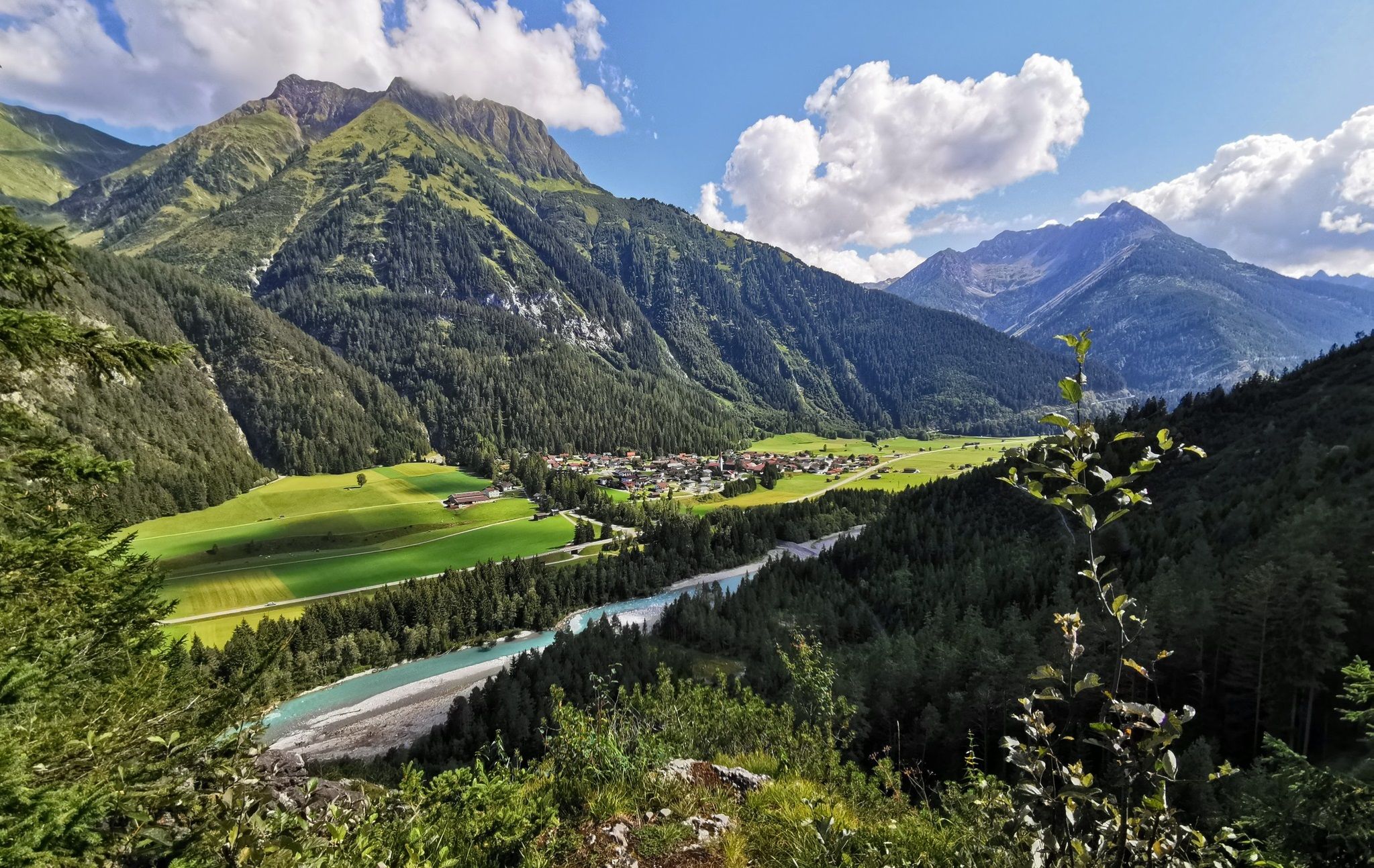
Mountaineering in Nature Park Region Reutte is defined by the majestic Lechtal and Allgäu Alps, offering diverse alpine terrain. The region features prominent limestone formations and deep valleys, with the Lech River and several clear mountain lakes like Plansee adding to the landscape. This area provides a blend of challenging ascents and scenic routes through varied alpine environments.
Best mountaineering routes in Nature Park Region Reutte
- The most popular mountaineering route is Crossing Hochplatte - Mountain tours Ammergau Alps, a 6.7 miles (10.8 km) trail that takes 5 hours 36 minutes to complete. This difficult route offers expansive views across the Ammergau Alps.
- Another top favourite among local mountaineers is Up to the Kreuzspitze - Mountain tours Ammergau Alps, a difficult 7.0 miles (11.2 km) path. This route ascends to the Kreuzspitze summit, providing panoramic vistas of the surrounding alpine landscape.
- Local mountaineers also love the View of Plansee – Zunterkopf (1,811 m) loop from Kleiner Plansee, a 6.6 miles (10.6 km) trail leading through alpine forests and open ridges, often completed in about 5 hours 35 minutes.
- Mountaineering in Nature Park Region Reutte is defined by the Lechtal and Allgäu Alps, the Lech River, and numerous mountain lakes. The network offers options for easy, moderate, and difficult routes.
- The routes in Nature Park Region Reutte are highly rated by the komoot community with an average score of 4.7 stars from over 600 reviews. More than 4,700 mountaineers have used komoot to explore Nature Park Region Reutte's varied terrain.
Last updated: July 10, 2026
4.8
(52)
375
hikers
10.8km
05:36
910m
910m
Hard mountaineering route. Very good fitness required. Sure-footedness, sturdy shoes and alpine experience required.
4.5
(31)
302
hikers
11.2km
07:15
1,030m
1,030m
Hard mountaineering route. Very good fitness required. Sure-footedness, sturdy shoes and alpine experience required.

Sign up for free
4.9
(88)
302
hikers
Hard mountaineering route. Very good fitness required. Sure-footedness, sturdy shoes and alpine experience required.
4.9
(87)
298
hikers
Hard mountaineering route. Very good fitness required. Sure-footedness, sturdy shoes and alpine experience required.
4.9
(32)
164
hikers
14.1km
05:32
780m
780m
Hard mountaineering route. Very good fitness required. Sure-footedness, sturdy shoes and alpine experience required.
Get access to more routes and recommendations from other explorers.
Sign up for free
Already have an account?
Our route recommendations are based on thousands of hikes, rides, and runs completed by other people on komoot.
Start today with a free account
Your next adventure awaits.
Login or Signup
Popular around Nature Park Region Reutte
The Lechweg — eight days on Austria's wildest river
Lechloops – wonderful hiking along the wild Lech
Lakes'n'Knödel – Bikepacking adventure with a taste of the Alps
Multi-day hiking against the flow – the Lechweg in reverse
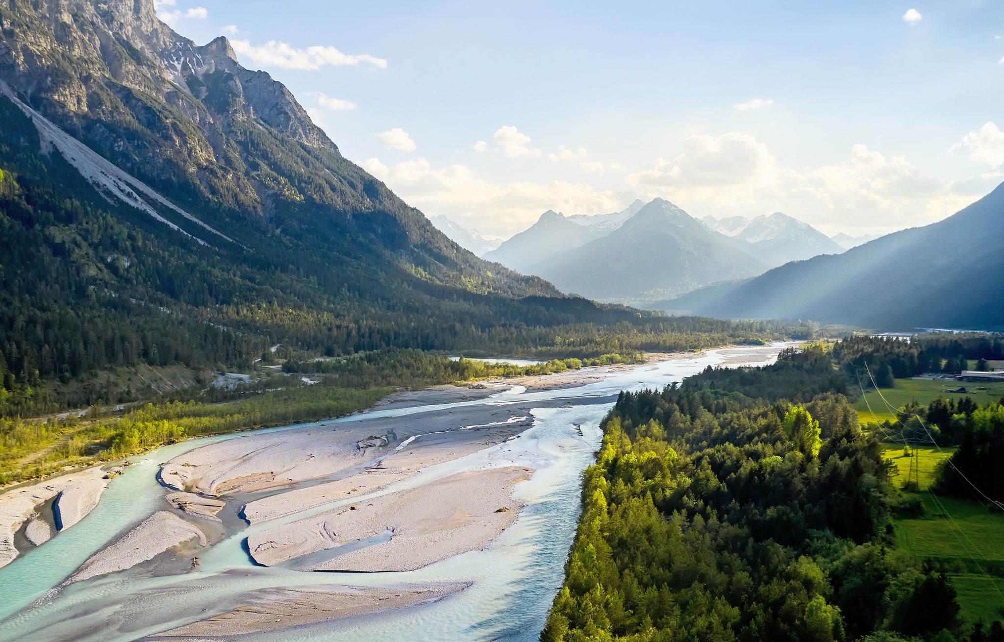
Lechweg – follow the wild river through the mountains
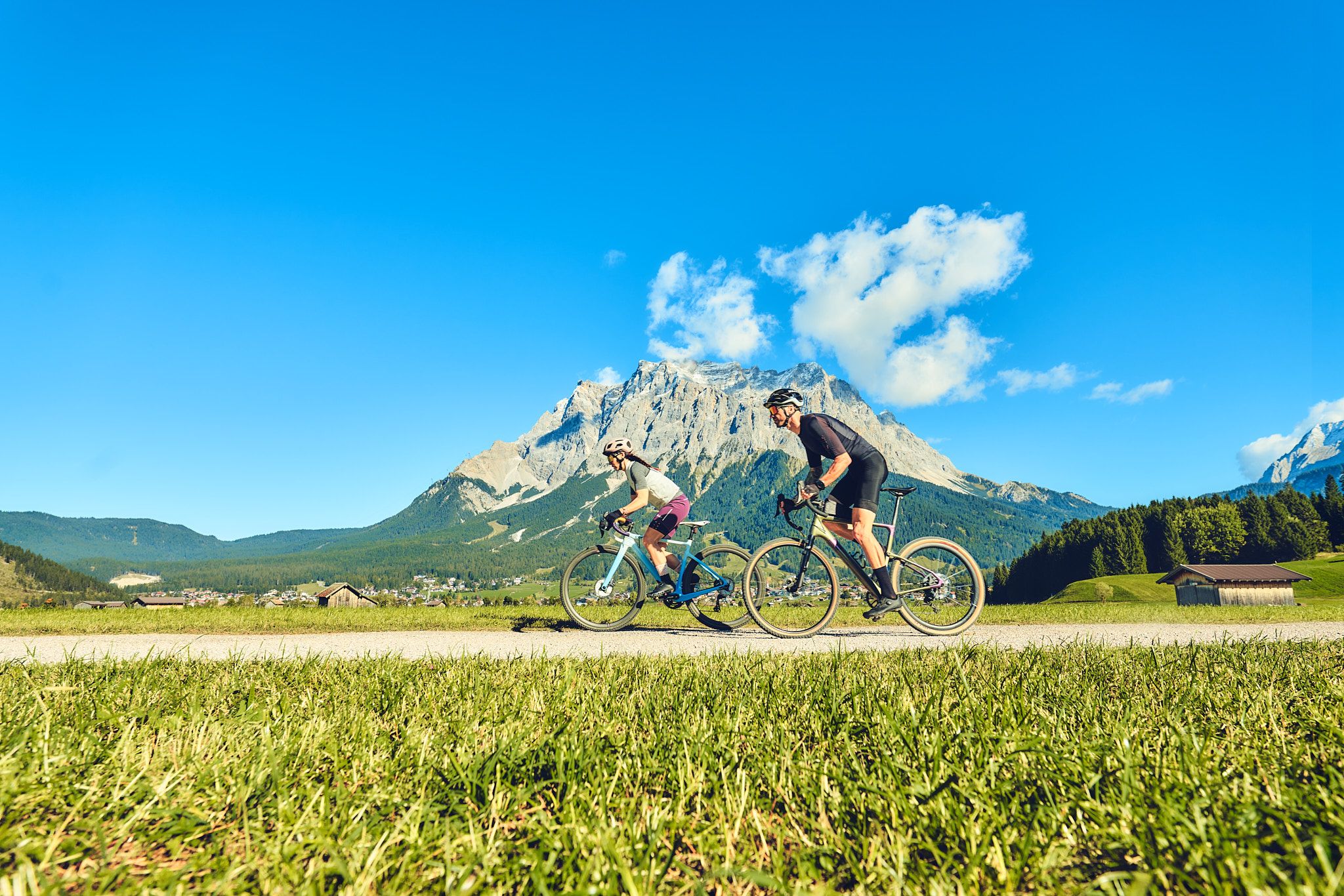
Experience the Außerfern in Tyrol's largest gravel bike region
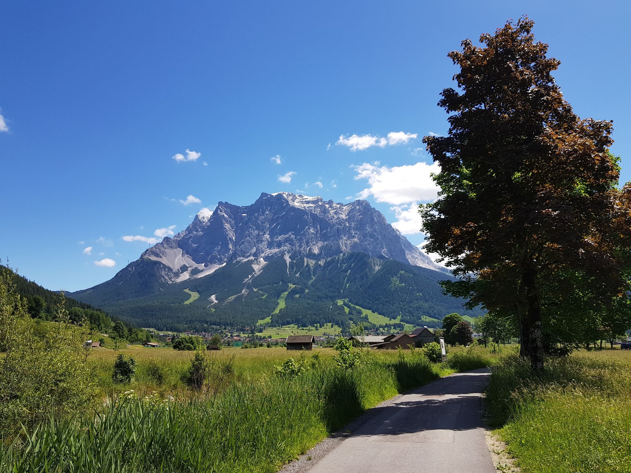
Bikepacking around Germany’s immense Zugspitze
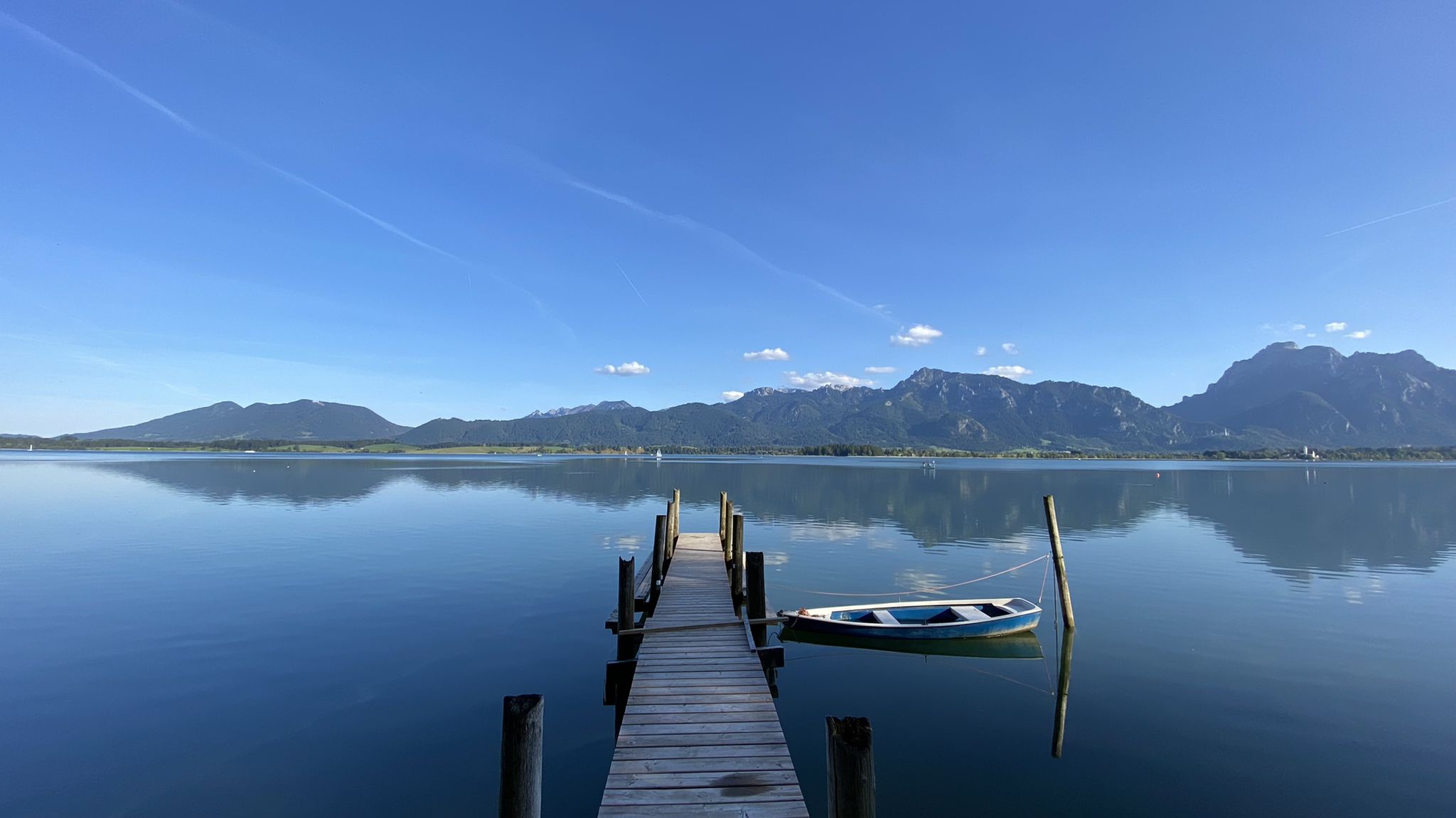
Cycle along Europe’s last wild river – Lech Cycle Route
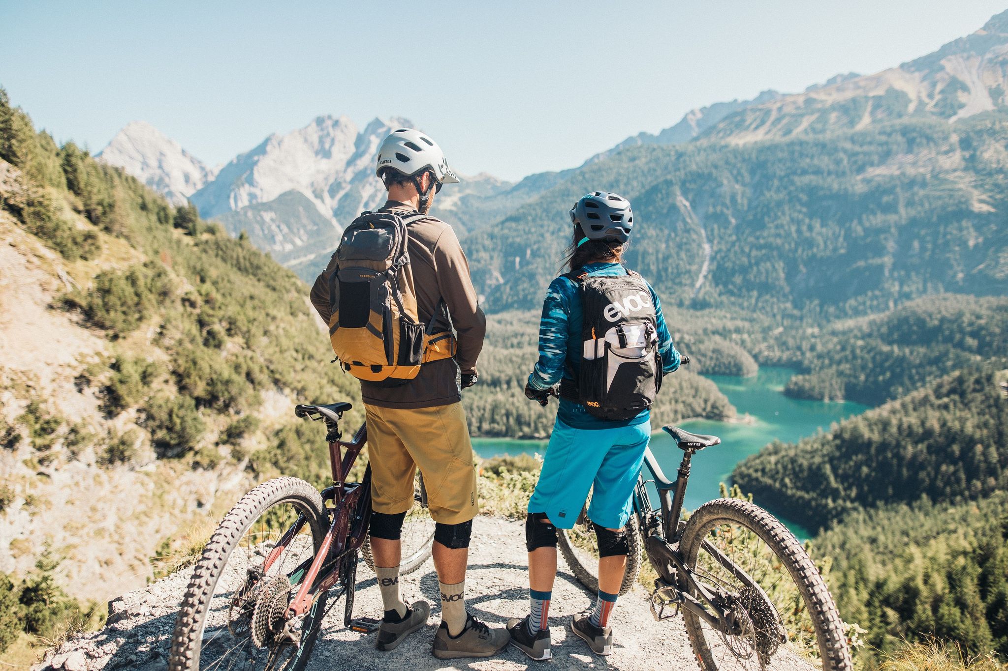
Lofty heights – the best bike Tours in Austria’s Tyrolean Zugspitz Arena
MTB fun around Austria’s Tannheim Valley
Other adventures in Nature Park Region Reutte


Tips from the Community

Pleasant ascent, descent annoying as shit but worth it. At the top so much braking that it just cracks but snack is possible a few meters before the summit. You can also call it Bremsenkopf, wow. Otherwise, only to be recommended. Best regards
2
1

above the clouds 🥰 and through the hole went down along the steel cable
1
0

Vils Stadt station is located on the Außerfern Railway from Garmisch-Partenkirchen via Reutte in Tyrol to Kempten (Allgäu) main station. From here, you can start wonderful mountain hikes and combine them with a return trip to or from another station on the Außerfern Railway.
4
0
The Parish Church of St. Mary's Assumption is the Catholic parish church of the small town of Vils in Tyrol. It is located on the town square and is arguably the most important building in Vils. Originally, the pastoral care belonged to the St. Mang Monastery in Füssen; a parish of Vils was established in 1395. The present church was built as a new Baroque structure in 1709 on the site of a previous building dedicated to St. Catherine (a side chapel in the parish church). The interior of the church is beautiful: the high altar, dating from 1720, has a six-column structure by Gotthard Wörle, and the high altarpiece is by Kranzner. The side altars and the pulpit are also magnificent. I found the church open.
2
0
The quarry is definitely quite impressive!
6
0

Wonderful rock formations on the way from Hundsarschjoch to Vilser Kegel.
0
0

From the parking lot to the summit of the Schwarzenköpfel, the route is somewhat demanding; good shoes and a steady stride are required. It's steep at times. Then, below the Kreuzspitze summit, a rocky route begins. You'll need to use your hands to climb. It's not particularly difficult, but definitely suitable for those who aren't afraid of heights.
0
0

Worth seeing, good footwear, and you should be more drastic. The trail is very slippery when wet due to the dirt and roots.
0
0
Frequently Asked Questions
How many mountaineering routes are available in Nature Park Region Reutte?
There are over 100 mountaineering routes in Nature Park Region Reutte, offering a wide range of options for different skill levels. The majority of these, around 75, are classified as difficult, with 31 moderate and 3 easy routes also available.
What kind of natural features can I expect to see on mountaineering routes in Nature Park Region Reutte?
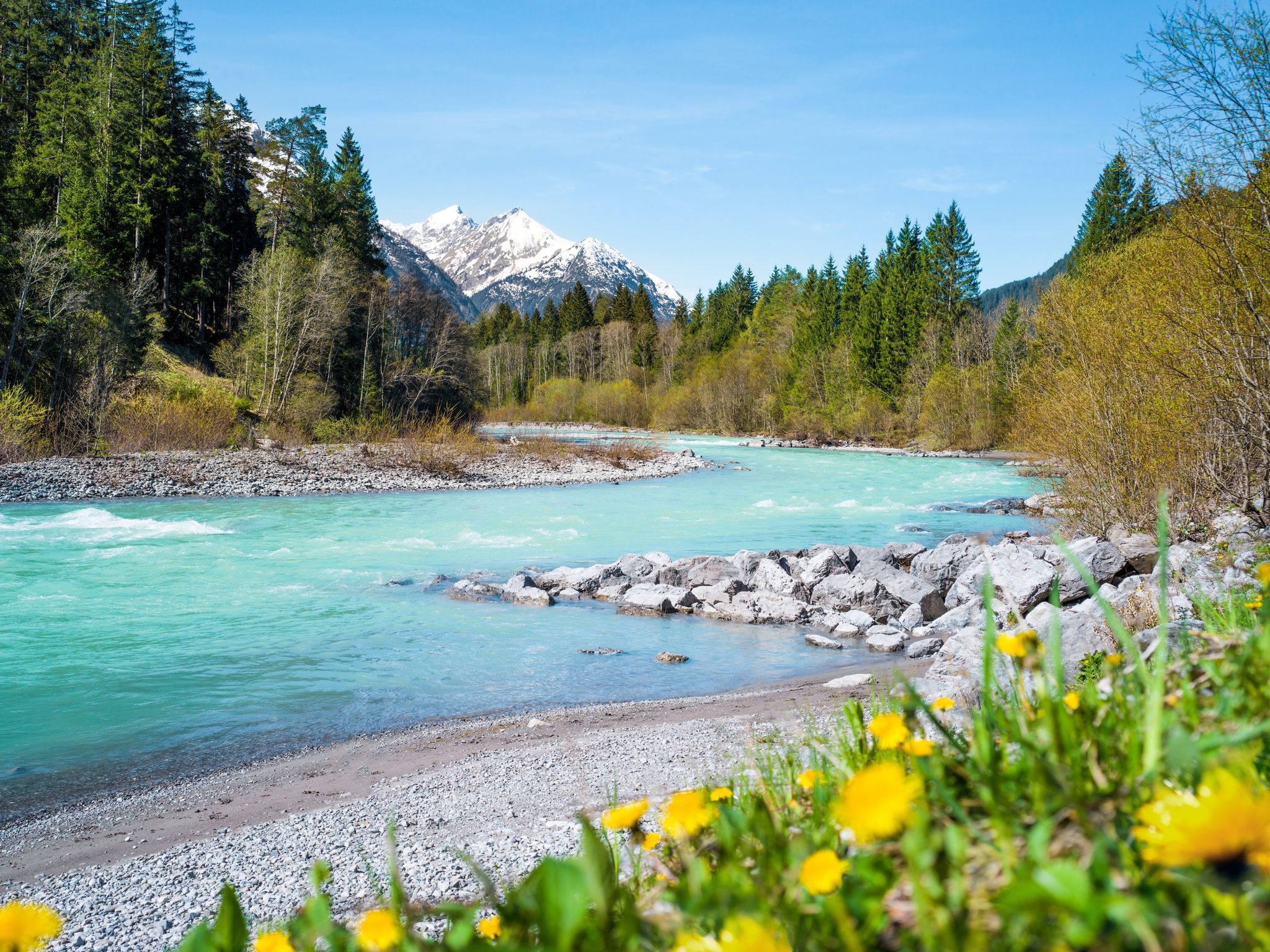
Mountaineering routes in Nature Park Region Reutte often feature the majestic Lechtal and Allgäu Alps, with prominent limestone formations and deep valleys. You'll also encounter the wild Lech River, known for its turquoise waters, and several clear mountain lakes like the Plansee, Tyrol's second-largest lake. The region is also home to the dramatic Stuiben Falls, a captivating natural spectacle.
Are there any circular mountaineering routes in the region?
Yes, Nature Park Region Reutte offers several circular mountaineering routes. For example, the View of Plansee – Zunterkopf (1,811 m) loop from Kleiner Plansee is a popular option, taking you through alpine forests and open ridges with stunning views. Another circular route is the Zunterkopf (1,811 m) – View of Plansee loop from Kleiner Plansee, which offers similar scenic beauty.
What are some notable landmarks or attractions along the mountaineering trails?
Many mountaineering routes in the region offer views of or access to significant landmarks. You might encounter historical sites like the Ehrenberg Castle Ruins or the Vilsegg Castle Ruins. For a thrilling experience, the spectacular highline179 Suspension Bridge is also nearby, offering panoramic views. Natural attractions include the Stuiben Falls and the beautiful Plansee.
What is the best time of year for mountaineering in Nature Park Region Reutte?
The best time for mountaineering in Nature Park Region Reutte is generally from late spring to early autumn (May to October), when the trails are clear of snow and the weather is most stable. During these months, you can fully enjoy the diverse alpine landscapes and the region's natural beauty. Winter offers opportunities for ski touring and winter hiking, but requires specialized equipment and knowledge.
Are there any challenging routes for experienced mountaineers?
Absolutely. Nature Park Region Reutte is well-known for its challenging routes. The Crossing Hochplatte - Mountain tours Ammergau Alps is a difficult 10.8 km trail offering expansive views. Another demanding option is Up to the Kreuzspitze - Mountain tours Ammergau Alps, which ascends to the Kreuzspitze summit, providing panoramic vistas of the surrounding alpine landscape.
What do other mountaineers say about the routes in Nature Park Region Reutte?
The mountaineering routes in Nature Park Region Reutte are highly rated by the komoot community, with an average score of 4.7 stars from over 690 reviews. Mountaineers often praise the diverse alpine terrain, the stunning views of the Lechtal and Allgäu Alps, and the pristine natural features like the Lech River and mountain lakes.
Are there any routes that pass by waterfalls?
Yes, the region is home to the impressive Stuiben Falls. While specific mountaineering routes might not directly pass through the falls, many trails offer views of this natural spectacle, and there are dedicated hiking paths, such as the Ministersteig, that lead to and around the falls, including a suspension bridge with views.
Can I find routes that are suitable for a full day of mountaineering?
Many routes in Nature Park Region Reutte are ideal for a full day's adventure. For instance, the difficult Up to the Kreuzspitze - Mountain tours Ammergau Alps typically takes over 7 hours to complete, offering a substantial challenge and rewarding views. Another option is the Hundsarsch Pass – View of Vilser Kegel loop from Vils Stadt, a 14.1 km route that takes around 5.5 hours.
Are there options for less crowded mountaineering trails in the region?
While some routes are popular, the Nature Park Region Reutte offers a vast network of over 100 trails. To find less crowded options, consider exploring routes that are slightly off the main tourist paths or visiting during off-peak hours. The sheer number of available trails means you can often find serene and solitary experiences amidst the alpine landscape.
What kind of terrain should I expect on mountaineering routes in Nature Park Region Reutte?
The terrain in Nature Park Region Reutte is diverse, ranging from alpine forests to open ridges and rocky sections. You'll encounter the characteristic limestone formations of the Lechtal and Allgäu Alps. Routes can involve significant elevation gains and descents, with some paths being well-maintained and others more rugged, requiring sure-footedness and appropriate gear.
Most popular routes in Nature Park Region Reutte
Most popular attractions in Nature Park Region Reutte

Get inspired with the komoot mobile app


Explore more
Browse the best Mountain Hikes & Routes in other regions.
