Easy hikes and walks in Utladalen Landskapsvernområde
4.6
(623)
3,557
hikers
88
hikes
Easy hiking trails in Utladalen Landskapsvernområde are set within Norway's deepest valley, characterized by dramatic landscapes, towering cliffs, and pristine rivers. The region features deep rocky gorges and is surrounded by mountain peaks. Hikers can explore hanging valleys and encounter diverse alpine flora and fauna.
Best easy hiking trails in Utladalen Landskapsvernområde
- The most popular easy hiking route is Avdalsfossen Waterfall – Hjellefossen Waterfall loop from Sletterust, a 2.7 miles (4.3 km) trail that takes 1 hour 15 minutes…
Last updated: August 17, 2026
4.3
(9)
37
hikers
5.62km
01:37
130m
130m
Easy hike. Great for any fitness level. Easily-accessible paths. Suitable for all skill levels.
8
hikers
Easy hike. Great for any fitness level. Easily-accessible paths. Suitable for all skill levels.

Sign up for free
1
hikers
5.32km
01:34
150m
160m
Easy hike. Great for any fitness level. Easily-accessible paths. Suitable for all skill levels.
3
hikers
4.66km
01:37
240m
230m
Easy hike. Great for any fitness level. Easily-accessible paths. Suitable for all skill levels.
4.8
(5)
27
hikers
Easy hike. Great for any fitness level. Easily-accessible paths. Suitable for all skill levels.
Get access to more routes and recommendations from other explorers.
Sign up for free
Already have an account?
Our route recommendations are based on thousands of hikes, rides, and runs completed by other people on komoot.
Start today with a free account
Your next adventure awaits.
Login or Signup
Popular around Utladalen Landskapsvernområde

Other adventures in Utladalen Landskapsvernområde


Tips from the Community

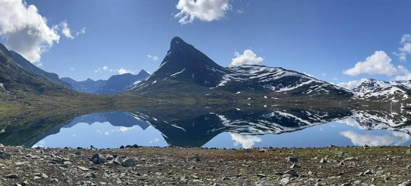
From the car park you have a decent trail that follows the river upstream amongst a few small lakes. From here you can relax and enjoy the tranquillity, as the views of the distant peaks are simply beautiful. You will also be able to catch a glimpse of the Ringsbreen Glacier.
0
0
The trail to the viewpoint at Berdalsnosi is a gentle, 15-minute hike across the open mountain terrain from the road. This will get you to one of Norway's great viewpoints at 1,300 metres above sea level. You will get a stunning 360-degree panorama where you can see down the entire length of the Lustrafjord, and you will be surrounded with the jagged peaks of Jotunheimen National Park. It is a wondrous area full of beauty.
0
0

This is a stunning spot for a walk: you will find yourself surrounded by mountains on the one side and a river on the other side. Take some time to take a break and admire the strength of the water currents here.
0
0

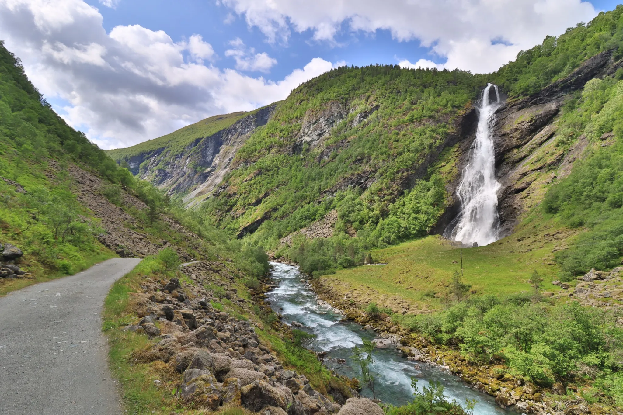
If hiking up from Hjelle, Avdalfossen is the first waterfall you'll come to when exploring beautiful Utladalen. It's not as high as the famous Vettisfossen but it's a magnificent sight nonetheless. The drop is something in the region of 560 feet (170 m).
0
0
If you love waterfalls and you love running, a run along the Folkevegen will delight. Avdalfossen is just one of the spectacular cascades you'll see. Top billing goes to Vettisfossen, Northern Europe's highest free-falling waterfall, which is further along the valley.
0
0

The beautiful waterfall can be easily reached from the road.
1
0
Great waterfall, which branches out like a fan in the lower part.
1
0

Old bridge. You can't walk over the bridge shown. Parallel to it is a new, solid, and stable bridge.
2
0
Frequently Asked Questions
How many easy hiking trails are available in Utladalen Landskapsvernområde?
Utladalen Landskapsvernområde offers 11 easy hiking trails, perfect for those looking for a less strenuous outdoor experience. In total, there are 90 hiking routes across all difficulty levels.
What makes Utladalen Landskapsvernområde a good place for easy hikes?
The region is renowned for its dramatic landscapes, deep valleys, and pristine rivers, providing stunning scenery without requiring extensive effort. Many easy trails follow the Utla River, offering gentle gradients and impressive views of towering cliffs and waterfalls. The area's diverse alpine flora and fauna also add to the experience.
Are there easy trails that feature waterfalls in Utladalen Landskapsvernområde?
Yes, several easy trails offer views of the region's impressive waterfalls. For instance, the Avdalsfossen Waterfall – Hjellefossen Waterfall loop from Sletterust provides views of two significant waterfalls. You can also explore the area around Avdalsfossen Waterfall and Hjellefossen Waterfall on various routes.
Can I see traditional farms or cultural sites on an easy hike?
Absolutely. Utladalen is home to several traditional Norwegian mountain farms. The historic Vetti Gard and Vetti Gard Tourist Station, with a history dating back to 1120, are accessible via paths like the 'Folkevegen'. These offer a glimpse into the region's cultural heritage.
Are there any easy circular routes in Utladalen Landskapsvernområde?
Yes, there are several easy circular routes. A popular option is the Moakamben Viewpoint Loop, which is 4.7 km long and leads to a scenic viewpoint. Another is the Skåracobru Suspension Bridge – Avdalsfossen Waterfall loop from Sletterust, a shorter 2.4 km loop featuring a suspension bridge.
What is the best time of year for easy hikes in Utladalen Landskapsvernområde?
The best time for easy hikes is typically during the warmer months, from late spring to early autumn (June to September). During this period, the trails are generally clear of snow, and the weather is more favorable, allowing for comfortable exploration of the valley's natural beauty.
Are there any easy trails suitable for families with children?
Many of the easy trails are well-suited for families. The 'Folkevegen' path, a narrow gravel road leading from Hjelle to Vetti farm, is a classic and gentle route that takes visitors along the Utla River, crossing spectacular suspension bridges, and is popular with families.
What do other hikers enjoy the most about hiking in Utladalen Landskapsvernområde?
The area is highly rated by the komoot community, with an average score of 4.6 stars from over 480 reviews. Hikers often praise the stunning natural beauty, the impressive waterfalls, and the well-maintained paths that make the dramatic landscapes accessible to all skill levels.
Are there any easy trails that offer views of the surrounding mountains?
Yes, even on easy trails, you can often catch glimpses of the towering peaks that surround Utladalen, some exceeding 2,000 meters. The valley's deep and rugged character ensures that mountain vistas are a constant backdrop to your hike. The Moakamben Viewpoint Loop specifically leads to a spot with panoramic views.
Where can I find parking for easy trails in Utladalen Landskapsvernområde?
Parking is typically available at common trailheads or starting points for popular routes, such as near Hjelle or Sletterust. It's advisable to check specific route descriptions for detailed parking information, as access points can vary.
Are there any easy trails that cross interesting bridges?
Yes, the region features several interesting bridges. The 'Folkevegen' path includes spectacular suspension bridges over the Utla River. The Skåracobru Suspension Bridge – Avdalsfossen Waterfall loop from Sletterust specifically highlights a suspension bridge as a key feature.
Most popular attractions in Utladalen Landskapsvernområde

Get inspired with the komoot mobile app


Explore more
Browse the best Hikes in other regions.
