The best walks and hikes in Utladalen Landskapsvernområde
4.6
(623)
3,557
hikers
14
hikes
Hiking in Utladalen Landskapsvernområde offers routes through Norway's deepest gorge, characterized by dramatic rock formations, towering cliffs, and pristine rivers. This protected region, situated near Jotunheimen National Park, features a landscape shaped by deep valleys and numerous powerful waterfalls. The terrain includes lush vegetation along valley floors and more rugged, steep paths leading to higher viewpoints.
Best hiking trails in Utladalen Landskapsvernområde
- The most popular hiking route is To Vettisfossen waterfall in Utladalen, a 8.2 miles (13.2 km) trail…
Last updated: August 17, 2026
4.8
(222)
1,076
hikers
13.2km
04:03
360m
360m
Moderate hike. Good fitness required. Mostly accessible paths. Sure-footedness required.
4.8
(47)
308
hikers
9.31km
03:04
400m
400m
Hike 5.8 miles (9.3 km) from Avdalen farm to Vetti Farm through Utladalen, enjoying waterfalls and dramatic valley views.

Sign up for free
4.6
(14)
78
hikers
19.0km
06:34
980m
980m
Hard hike. Very good fitness required. Easily-accessible paths. Suitable for all skill levels.
4.0
(2)
17
hikers
20.2km
07:17
1,120m
1,120m
This difficult 12.5-mile hike in Utladalen offers stunning waterfalls, panoramic mountain views, and the charming DNT Stølsmaradalen Cabin.
7
hikers
14.8km
05:29
900m
900m
This difficult 9.2-mile hike from Avdalen to Stølsmaradalen offers demanding terrain, spectacular views, and a cozy DNT cabin.
Get access to more routes and recommendations from other explorers.
Sign up for free
Already have an account?
Our route recommendations are based on thousands of hikes, rides, and runs completed by other people on komoot.
Start today with a free account
Your next adventure awaits.
Login or Signup
Popular around Utladalen Landskapsvernområde
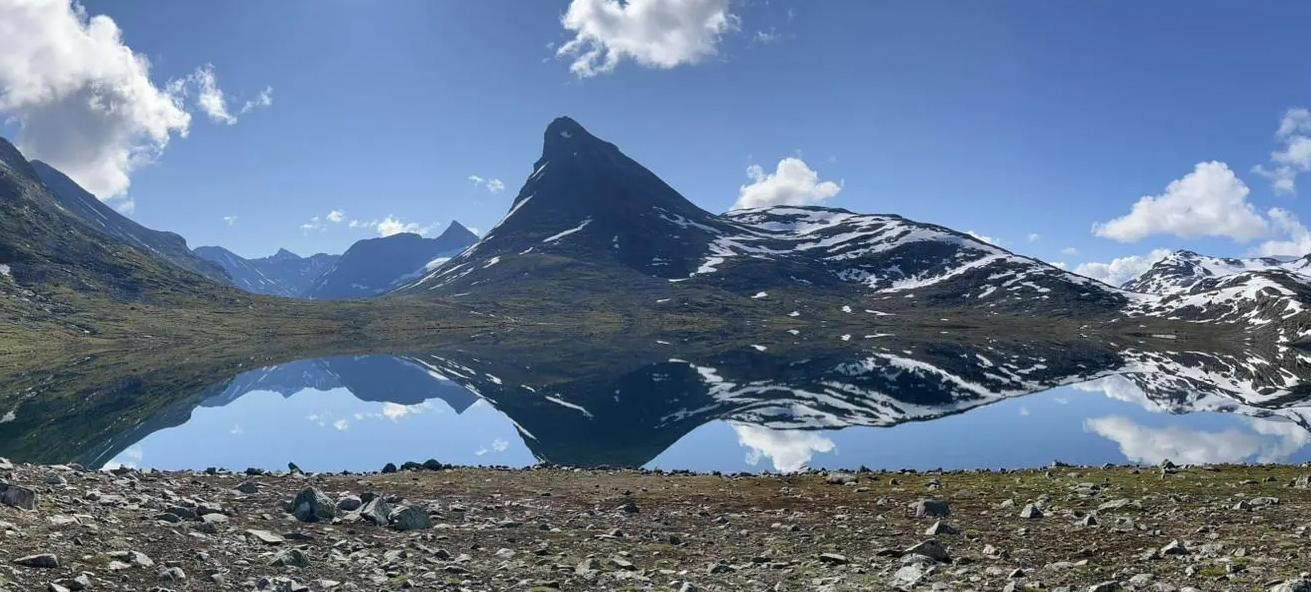

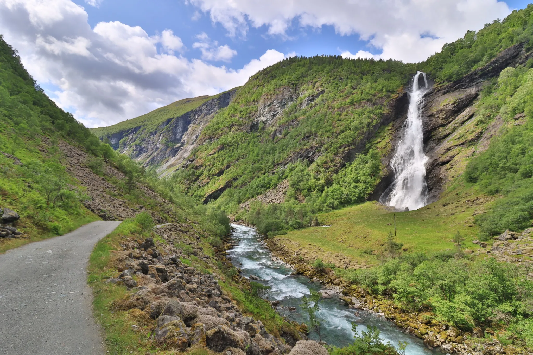
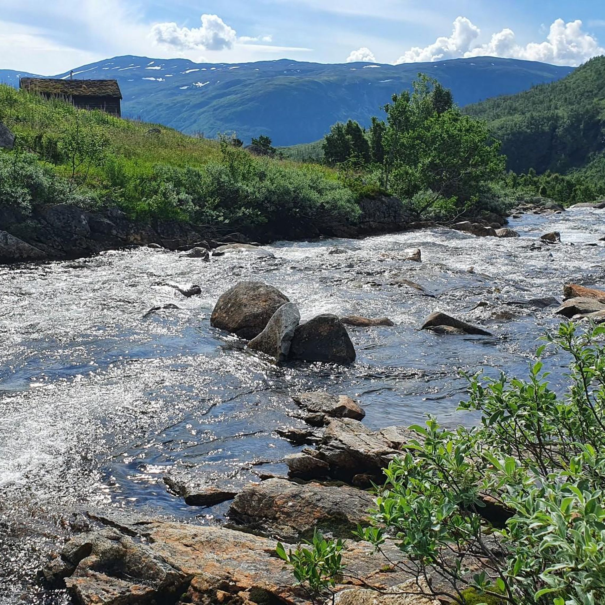
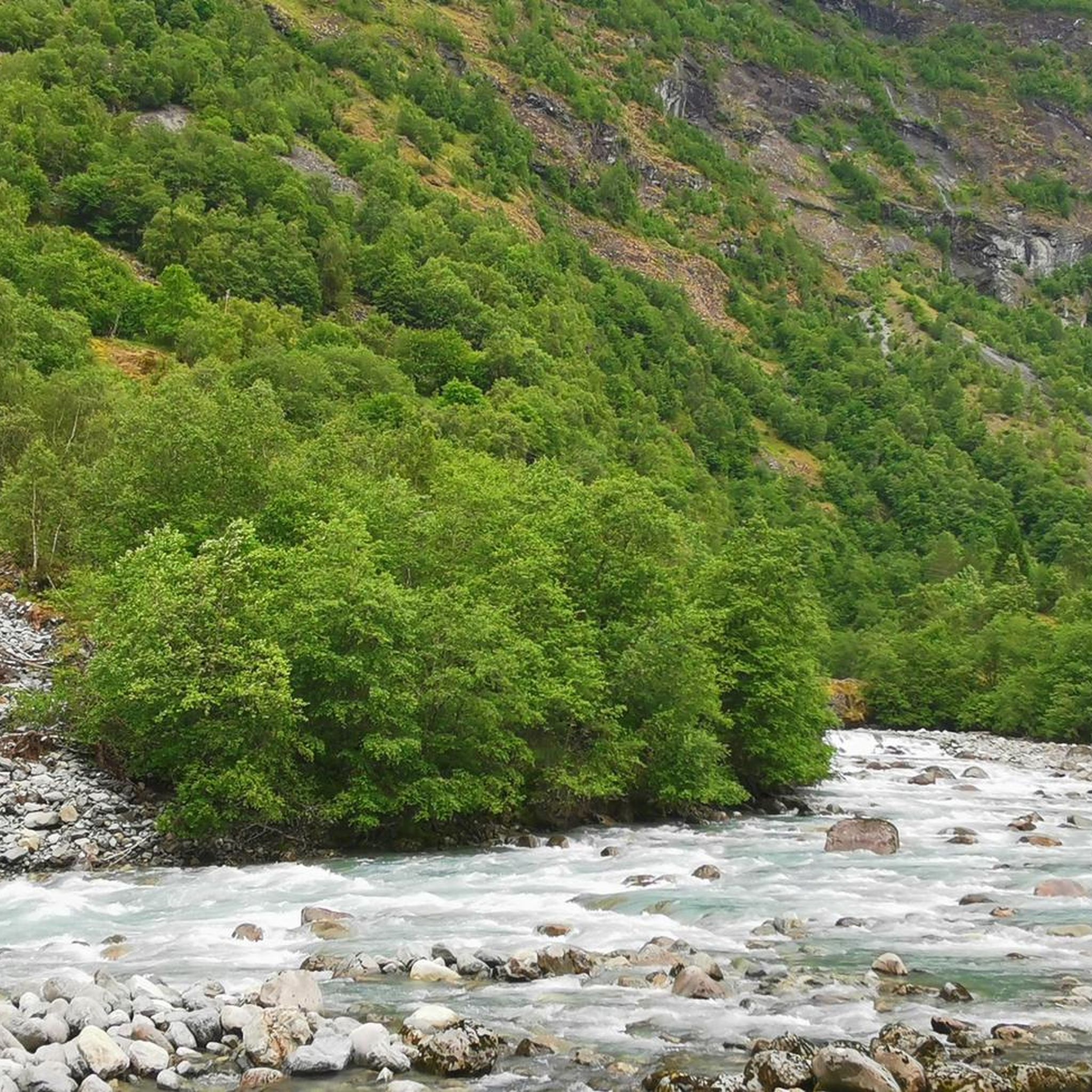
Other adventures in Utladalen Landskapsvernområde


Tips from the Community

It is Norway's and Northern Europe's highest unregulated waterfall. Vettisfossen has a free fall of 275 meters down from Vettismorki, a gentle plateau with seats and old pine forest.
0
0

Since explorers first started coming to Utladalen in the 1800s, Vetti Gard has been an important stop. From here, it's not far to the mighty Vettisfossen, one of Norway's great waterfalls. During the summer season, you can purchase a simple meal here and there's accommodation too.
0
0
This viewpoint is a wonderful place to take in the majesty of Vettisfossen. Plunging 900 feet (275m) in one go, it's one of Norway’s highest and most spectacular waterfalls. You can stay overnight in nearby Vetti Gard or at Vettismorki.
0
0
Vettismorki is a lovely upland farm with a modern DNT cabin that offers nine beds in a superb setting, surrounded by mountains and with a stream running right past it. The view down Stølsmaradalen to the peak of Austre Ringstind in the Hurrugane range is exceptional. From the cabin, it's a relatively short hike to Vettisfossen, one of Norway's highest and most spectacular waterfalls.
0
0

This trail takes you through raw Norwegian nature with steep cliffs, rocky paths, and quiet green valleys.
0
0
Providing accommodation for those visiting the spectacular Vettisfossen, Vetti Gard Tourist Station is a charming place to stay. The farm serves food during the summer months.
1
0
An incredible sight, Vettisfossen is the highest free-falling waterfall in Northern Europe. A run along the Folkevegen to this immense cascade is a life-affirming experience.
1
0
Vettisfossen is Norway’s tallest free-falling waterfall. Nestled in the breathtaking Utladalen Valley, Vettisfossen plunges an impressive 275 meters (902 feet) in a single, unbroken drop.
1
0
Frequently Asked Questions
How many hiking trails are available in Utladalen Landskapsvernområde?
Utladalen Landskapsvernområde offers a diverse network of 15 hiking trails. These routes cater to various fitness levels, including 2 easy, 8 moderate, and 5 difficult options, ensuring there's a suitable path for almost every hiker.
What are the main natural features I can expect to see while hiking in Utladalen?
The region is renowned for its dramatic landscapes, featuring Norway's deepest gorge, the Utladal Valley, and numerous powerful waterfalls. You'll encounter impressive cascades like Avdalsfossen Waterfall and Hjellefossen Waterfall, with the iconic Vettisfossen being a highlight. The valley also boasts deep rocky gorges and lush vegetation.
Are there any family-friendly hiking options in Utladalen Landskapsvernområde?
Yes, Utladalen offers several easy hikes and walks suitable for families and those seeking less strenuous routes. These trails often follow the valley floor, providing accessible paths through scenic landscapes without significant elevation gains. The 'Folkevegen' from Hjelle to Vetti farm is a classic, accessible route.
What kind of terrain and difficulty levels should I expect on the trails?
The terrain in Utladalen varies significantly. You'll find accessible gravel roads and gentle paths along the valley floor, such as the initial sections of the Utladalen Valley Trail. However, routes leading to higher viewpoints or deeper into the mountains, like the Loop hike to Vettisfossen waterfall, can be steep, rocky, and challenging, requiring good physical condition.
Can I hike to Vettisfossen waterfall, and what are the options?
Yes, hiking to Vettisfossen is a major draw. You can choose between routes leading to the base of the waterfall or to a viewpoint above it. The To Vettisfossen waterfall in Utladalen route takes you directly to its base. For a different perspective and a more challenging experience, consider the Loop hike to Vettisfossen waterfall, which offers varied terrain and different views.
Are there any circular hiking routes available?
Yes, for those who prefer not to retrace their steps, there are circular hiking routes. A notable option is the Loop hike to Vettisfossen waterfall in Utladalen, which provides a comprehensive experience of the area's diverse landscapes and the iconic waterfall from multiple angles.
What historical or cultural landmarks can I visit along the trails?
Beyond its natural beauty, Utladalen offers a glimpse into Norway's pastoral past. You can visit historic mountain farms like Vetti Gard and Vetti Gard Tourist Station, which has a history dating back to 1120. Stølsmaradalen DNT Cabin also offers insights into traditional mountain life.
Is there parking available at the trailheads?
Yes, parking is generally available at the main starting points for hikes in Utladalen, particularly near Hjelle, where the Utladalen Naturhus is located. This serves as a common gateway for many of the valley's walks.
What is the best time of year to go hiking in Utladalen Landskapsvernområde?
The best time for hiking in Utladalen is typically during the late spring, summer, and early autumn months (roughly June to September). During this period, the trails are usually free of snow, the weather is milder, and the waterfalls are at their most powerful due to snowmelt.
What do other hikers enjoy most about hiking in Utladalen Landskapsvernområde?
The area is highly rated by the komoot community, with an average score of 4.6 stars from over 400 reviews. Hikers frequently praise the dramatic scenery, the sheer power of the waterfalls, and the sense of wilderness. Many also appreciate the well-maintained paths and the opportunity to experience Norway's deep valleys and traditional mountain farms.
Are there any multi-day hiking opportunities or cabins for overnight stays?
Yes, Utladalen serves as a gateway to the Jotunheimen mountains, offering longer routes for multi-day adventures. There are several cabins available for overnight stays, such as DNT Skogadalsbøen and Stølsmaradalen DNT Cabin. These provide a base for exploring deeper into the protected area and beyond.
Is public transport available to reach the trailheads in Utladalen?
While specific public transport options directly to all trailheads might be limited, the main access point for many walks is Hjelle, which can be reached by bus services from nearby towns. It's advisable to check local bus schedules for the most current information when planning your trip.
Most popular attractions in Utladalen Landskapsvernområde

Get inspired with the komoot mobile app


Explore more
Browse the best Hikes in other regions.
