The best running trails in Utladalen Landskapsvernområde
76
runners
7
runs
Jogging in Utladalen Landskapsvernområde offers routes through Norway's deepest valley, characterized by profound valleys and towering cliffs. The region features the Utla River, which carves its way through the landscape, and numerous waterfalls, including the 275-meter Vettisfossen. Well-maintained paths like the "Folkevegen" provide accessible running opportunities amidst this dramatic natural setting.
Best jogging routes in Utladalen Landskapsvernområde
- The most popular jogging route is Vettisfossen out and back – Utladalen Landscape Protection Area, a 7.9 miles (12.8 km) trail that…
Last updated: August 19, 2026
32
runners
12.8km
01:35
350m
350m
Hard run. Very good fitness required. Sure-footedness, sturdy shoes and alpine experience required.
7
runners
11.5km
01:43
240m
240m
Hard run. Good fitness required. Sure-footedness, sturdy shoes and alpine experience required.

Sign up for free
7
runners
4.77km
00:32
80m
80m
Easy run. Great for any fitness level. Mostly paved surfaces. Suitable for all skill levels.
16
runners
15.5km
02:22
790m
790m
Hard run. Very good fitness required. Mostly paved surfaces. Suitable for all skill levels.
10
runners
9.14km
01:41
600m
600m
Hard run. Very good fitness required. Sure-footedness, sturdy shoes and alpine experience required.
Get access to more routes and recommendations from other explorers.
Sign up for free
Already have an account?
Our route recommendations are based on thousands of hikes, rides, and runs completed by other people on komoot.
Start today with a free account
Your next adventure awaits.
Login or Signup
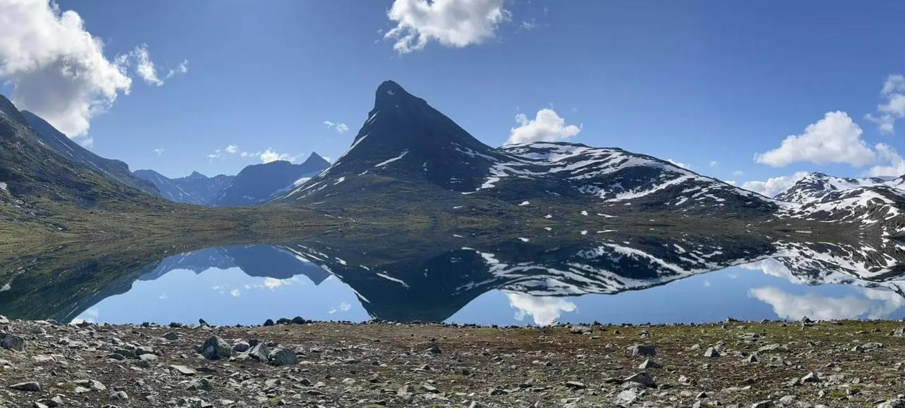

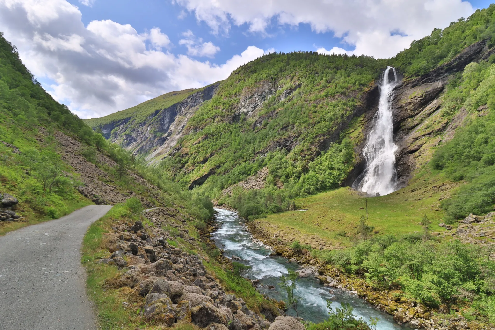
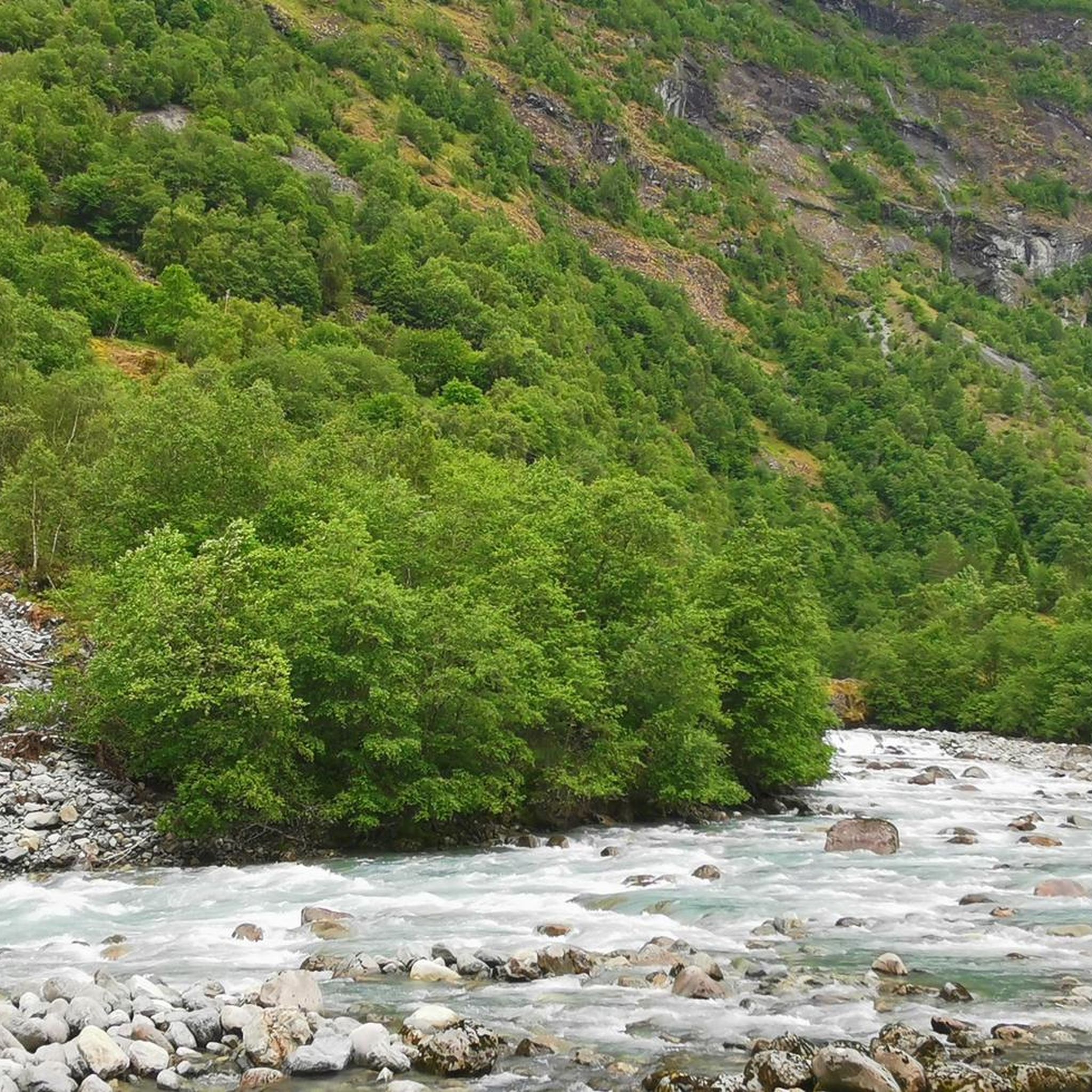
Other adventures in Utladalen Landskapsvernområde


Tips from the Community

It is Norway's and Northern Europe's highest unregulated waterfall. Vettisfossen has a free fall of 275 meters down from Vettismorki, a gentle plateau with seats and old pine forest.
0
0

Of all of Norway's fjords, Sognefjorden is the longest. It stretches inland from the sea for 127 miles (205 km), earning it the title 'the King of Fjords'. The Omveien long-distance trail ends at the Sognefjorden after an epic journey taking in the wilds of Langsua and the majesty of Jotunheimen.
0
0
If hiking up from Hjelle, Avdalfossen is the first waterfall you'll come to when exploring beautiful Utladalen. It's not as high as the famous Vettisfossen but it's a magnificent sight nonetheless. The drop is something in the region of 560 feet (170 m).
0
0
Leirvassbu is a mecca for mountain hiking adventures. This large cabin was previously privately owned before the DNT took it over in 2023. The facilities are excellent and the surroundings are epic.
0
0

A very nice hut and a good starting point for various day hikes. Easily accessible on foot, by car, or by public bus from Lom/Fossbergom.
1
1
Kyrkja is one of Jotunheimen's most iconic peaks and its South Ridge is the most popular way to the summit. The scramble to the top is great fun, providing a thoroughly satisfying way to the top of this great mountain peak.
0
0
One of Norway's largest DNT cabins, Leirvassbu is an ideal base for exploring some of Jotunheimen's high peaks. A run from here to the scramble to the summit of Kyrkja is glorious.
0
0
An icon of Jotunheimen, Kyrkja is more accessible than its appearance suggests. It's name means 'the Church' and its summit can be attained via a modest scramble.
0
0
Frequently Asked Questions
How many running routes are available in Utladalen Landskapsvernområde?
Utladalen Landskapsvernområde offers a variety of running routes, with over 10 different trails to explore. These routes cater to various skill levels, from easy paths to more challenging mountain runs.
Are there running routes suitable for beginners or families in Utladalen?
Yes, there are running routes suitable for beginners and families. The region's well-maintained paths, such as the "Folkevegen" from Hjelle towards Vetti farm, offer accessible and relatively flat terrain, perfect for a leisurely run amidst stunning scenery. While many routes are rated difficult, there is at least one easy route available.
What natural attractions can I see while running in Utladalen?
Utladalen is renowned for its spectacular waterfalls and deep valleys. While running, you can encounter impressive sights like Avdalsfossen Waterfall, Hyljefossen Waterfall, and Hjellefossen Waterfall. The Vettisfossen out and back route specifically leads to the base of Norway's highest free-falling waterfall, Vettisfossen.
Are there any historical sites or points of interest along the running trails?
Yes, the valley is home to traditional Norwegian mountain farms. For instance, the Vettisfossen – Vetti Gard Tourist Station loop from Utla passes by the historic Vetti Gard, which dates back to 1120, offering a glimpse into the region's pastoral past.
What is the best season for running in Utladalen Landskapsvernområde?
The best season for running in Utladalen is typically from late spring to early autumn (May to September). During these months, the trails are generally free of snow, and the weather is more favorable, allowing you to fully enjoy the dramatic landscapes and waterfalls. Always check local weather conditions before heading out.
Where can I park when visiting Utladalen for a run?
Parking is generally available at the starting points of popular trails, such as near Utladalen Naturhus in Hjelle. This serves as a convenient hub for visitors and provides access to the "Folkevegen" and other routes into the valley.
Are there any circular running routes in Utladalen?
Yes, there are circular running routes available. An example is the Vettisfossen – Vetti Gard Tourist Station loop from Utla, which offers a challenging 28.0 km (17.4 miles) journey exploring the valley and its historical sites.
Can I bring my dog on the running trails in Utladalen?
Generally, dogs are permitted on trails in Norwegian landscape protection areas, but they must be kept on a leash, especially during certain times of the year to protect wildlife. It's always best to check local regulations or signage at the trailhead for specific rules regarding dogs in Utladalen Landskapsvernområde.
Are there facilities like cafes or information centers near the running routes?
Yes, at the starting point in Hjelle, you'll find the Utladalen Naturhus. This nature center offers valuable information about the area, exhibitions, and a café, making it a great place to start or finish your run.
What do other runners enjoy the most about running in Utladalen Landskapsvernområde?
The area is highly rated by the komoot community, with an average score of 5.0 stars. Runners often praise the dramatic landscapes, the spectacular waterfalls like Vettisfossen, and the well-maintained paths that allow for an immersive experience in Norway's deepest valley. The combination of natural beauty and varied terrain makes for a memorable running adventure.
What is the typical difficulty level of running routes in Utladalen?
While there are some easy routes, many of the running trails in Utladalen Landskapsvernområde are rated as difficult. These often involve significant elevation changes and cover longer distances, providing a challenging experience for experienced runners. For example, the Sognefjellshytta loop from Sognefjellshytta is a difficult 11.5 km (7.2 miles) trail through mountain terrain.
Are there any routes that offer particularly good viewpoints?
Absolutely. The dramatic topography of Utladalen means many routes offer stunning vistas. Look for trails that ascend to higher ground or pass by designated viewpoints. For instance, the View of Utladalen Landscape Protection Area highlight suggests specific spots for panoramic views of the valley and its towering cliffs.
Most popular attractions in Utladalen Landskapsvernområde

Get inspired with the komoot mobile app


Explore more
Browse the best Running Trails & Routes in other regions.
