Easy hikes and walks in Presidential Range-Dry River Wilderness
4.5
(232)
4,518
hikers
203
hikes
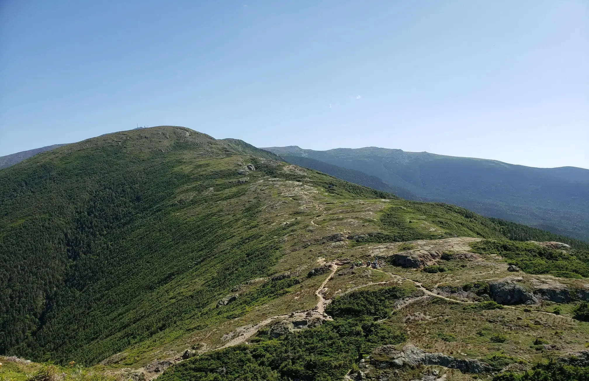
Easy hiking trails in Presidential Range-Dry River Wilderness traverse a rugged landscape characterized by steep slopes, high ridgelines, and deep river valleys. The region features diverse ecosystems, from spruce-fir forests in river bottoms to northern hardwood forests and alpine tundra at higher elevations. The Dry River carves through the wilderness, presenting challenging stream crossings, while Oakes Gulf is a notable glacial cirque. This area holds the largest single expanse of alpine terrain east of the Mississippi River.
Best easy hiking…
Last updated: July 8, 2026
5.0
(4)
8
hikers
2.27km
00:45
120m
120m
Easy hike. Great for any fitness level. Easily-accessible paths. Suitable for all skill levels.
15
hikers
2.45km
00:51
10m
370m
Easy hike. Great for any fitness level. Easily-accessible paths. Suitable for all skill levels.

Sign up for free
1
hikers
2.94km
01:15
250m
240m
Easy hike. Great for any fitness level. Easily-accessible paths. Suitable for all skill levels.
1.59km
00:26
0m
70m
Easy hike. Great for any fitness level. Easily-accessible paths. Suitable for all skill levels.
4.7
(29)
277
hikers
4.59km
01:32
240m
240m
Easy hike. Great for any fitness level. Easily-accessible paths. Suitable for all skill levels.
Get access to more routes and recommendations from other explorers.
Sign up for free
Already have an account?
Our route recommendations are based on thousands of hikes, rides, and runs completed by other people on komoot.
Start today with a free account
Your next adventure awaits.
Login or Signup
Popular around Presidential Range-Dry River Wilderness
Other adventures in Presidential Range-Dry River Wilderness

Tips from the Community

Lake of the Clouds Hut is the highest and one of the most iconic of the AMC’s backcountry huts. Perched at 5,012 feet between Mount Monroe and Mount Washington, it offers stunning alpine views, dramatic sunsets, and a front-row seat to the Presidential Range’s famously unpredictable weather. It's a great place to stop and refill water bottles or shelter from the weather on a day hike or an iconic (and popular!) place to spend the night. The hut is full-service during the summer and early fall, with bunk accommodations, family-style dinner and breakfast, potable water, and composting toilets. It sleeps over 90 hikers and is a popular overnight stop for those tackling the Presidential Traverse. Reservations are essential and fill quickly.
1
0

Washington is the most prominent mountain in the eastern U.S. and an absolutely incredible peak to bag. This is easily one of the best summits in New England. It is also the most dangerous if you come unprepared, especially in the winter. Washington creates its own rapidly changing weather system and is known for being the deadliest small mountain in the world. The second-fastest wind speed on earth was recorded here at over 230mph. That said, a quarter million people visit Washington every year, and if you come prepared and respect the mountain you have nothing to fear and are guaranteed to have an epic summit.
0
0

The 'Coliseum Falls' are located below the 'Bemis Brook Falls' on the trail of the same name, a less frequented alternative to the 'Arethusa Falls'. The water falls down a low granite step and flows over a long, flat granite slab in the valley floor down into the 'Fawn Pool'. In dry times you can walk from the waterfall to the pool on the granite slab. https://www.newenglandwaterfalls.com/nh-arethusafalls.html
2
0
The 'Bemis Brook Falls' are located below the 'Arethusa Falls' and can be reached on the 'Bemis Brook Waterfalls Trail'. This alternative route to the 'Arethusa Falls' runs along the valley floor and climbs steeply up to the main route at the lower waterfall. Only a few hikers visit the smaller waterfall, which falls over four steps of granite rock. https://www.newenglandwaterfalls.com/nh-arethusafalls.html
2
0
The 'Bemis Brook Waterfalls Trail' is a trail variant to the 'Arethusa Falls'. The route runs along the valley floor of the 'Bemis Brook' and climbs steeply up to the main route at the lower waterfall. https://www.newenglandwaterfalls.com/nh-arethusafalls.html
2
0
Arethusa Falls on Bemis Brook are considered the highest single-stage waterfall accessible by hiking trail in New England. The hike to Arethusa Falls on the trail of the same name is one of the most popular day hikes in White Mountain National Forest. There is a large parking lot at the trailhead on Crawford Notch Road - US Route 302; park admission costs $5 per vehicle. https://www.newenglandwaterfalls.com/nh-arethusafalls.html
4
0

Dress warmly. Snow season begins July 1 and ends June 30. We were at 68 mph at the summit. Keeping your hat on is a good idea. Two days ago, when we were last up there, it was 73 degrees Fahrenheit and the wind was blowing lightly around 23 mph. Mt. Washington is the highest peak within 1,000 miles, making it an exposed location with what the US Weather Service calls the worst and most surprising weather in the world.
0
0

Nice stop at mountain lakes
0
0
Frequently Asked Questions
How many easy hiking trails are available in Presidential Range-Dry River Wilderness?
There are 34 easy hiking trails in the Presidential Range-Dry River Wilderness, making up a portion of the over 230 routes available in total across various difficulty levels.
Are there any easy trails with waterfalls in the Presidential Range-Dry River Wilderness?
Yes, for an easy hike featuring waterfalls, consider the Bemis Brook Waterfalls Trail – Bemis Falls loop from Hart's Location. Another option is the Arethusa Falls and Bemis Brook Trail, which also offers scenic cascades.
What kind of terrain can I expect on easy hikes in this wilderness area?
Easy hikes in the Presidential Range-Dry River Wilderness generally traverse diverse ecosystems. You'll find paths through spruce-fir forests in river bottoms, northern hardwood forests, and even sections of alpine tundra at higher elevations. While the region is known for steep slopes and high ridgelines, the easy trails are selected for their more gentle gradients.
Are there any family-friendly easy hikes in the Presidential Range-Dry River Wilderness?
Many of the 34 easy trails are suitable for families. The Bemis Brook Waterfalls Trail – Bemis Falls loop from Hart's Location is a popular choice, being short and featuring engaging natural elements like waterfalls. The Direttissima Trail is another short, easy option.
What are some notable landmarks or viewpoints accessible via easy trails?
While many landmarks require more challenging routes, some easy trails offer access to unique features. The Mount Washington Summit Loop Trail, though at high elevation, is an easy loop around the alpine summit area itself. The Crawford Path offers gentle gradients and views of the surrounding White Mountains, and is part of the historic route towards Mount Washington.
What is the best time of year for easy hikes in the Presidential Range-Dry River Wilderness?
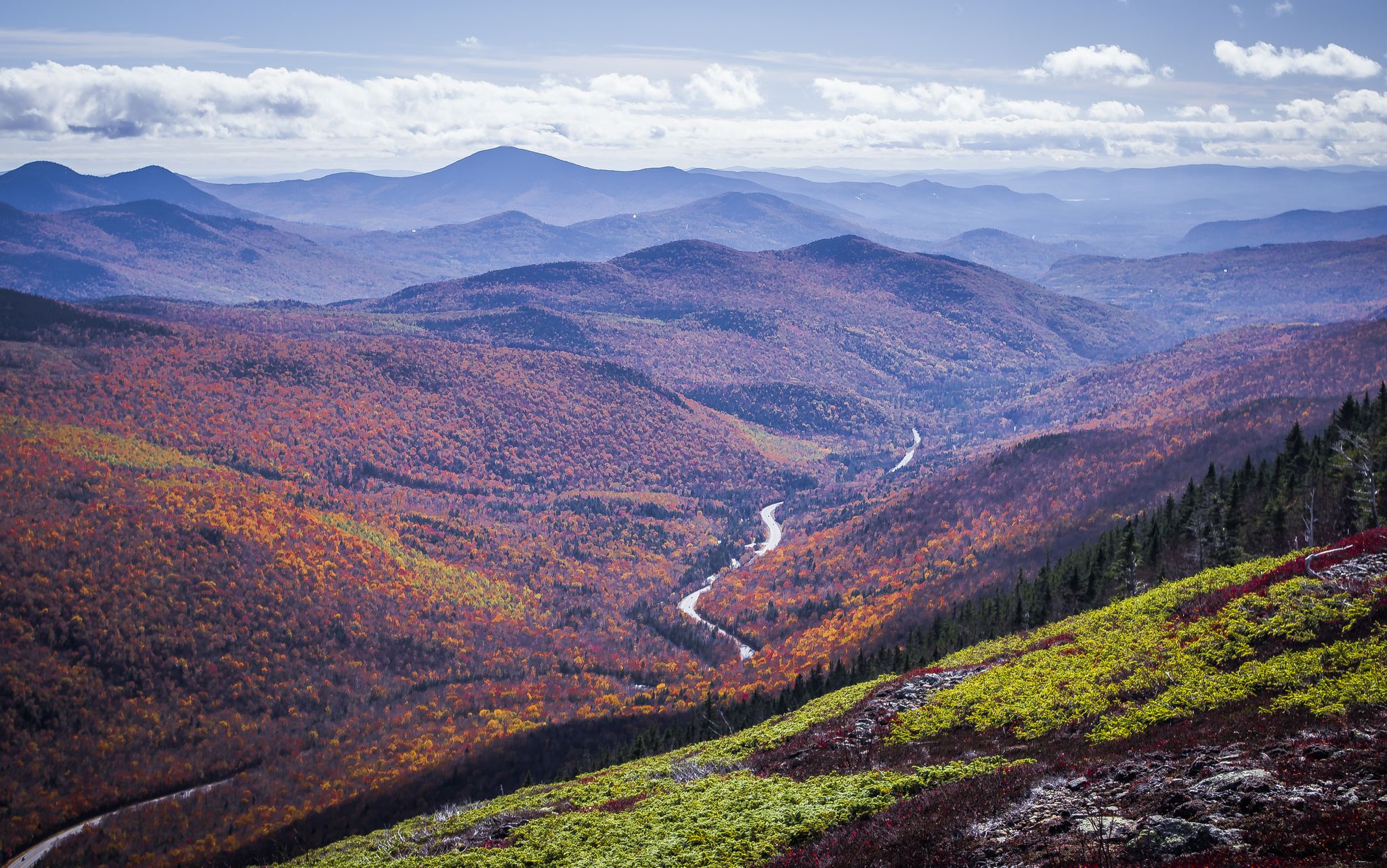
The best time for easy hikes is generally from late spring through early autumn. Summer offers lush greenery and comfortable temperatures, while autumn provides spectacular foliage in the northern hardwood forests. Be aware that higher elevations can experience harsh weather conditions, including snow, outside of peak summer months.
Are there any easy loop trails in the Presidential Range-Dry River Wilderness?
Yes, the Bemis Brook Waterfalls Trail – Bemis Falls loop from Hart's Location is an excellent easy loop option. Another easy loop is the Mount Washington Summit Loop Trail, which circles the summit area.
What is the average duration and distance for easy trails in this region?
Easy trails in the Presidential Range-Dry River Wilderness vary in length and time. For example, the Bemis Brook Waterfalls Trail – Bemis Falls loop from Hart's Location is about 1.4 miles (2.3 km) and takes approximately 45 minutes. The Mount Washington Summit Loop Trail is 1.8 miles (2.9 km) and typically takes about 1 hour 15 minutes.
What do other hikers enjoy most about hiking in Presidential Range-Dry River Wilderness?
The area is highly rated by the komoot community, with an average score of 4.5 stars from over 260 reviews. Hikers often praise the diverse natural landscapes, from lush forests to unique alpine tundra, and the accessibility of trails for various skill levels, including many easy options.
Is there parking available near the trailheads for easy hikes?
Parking is generally available near the trailheads for many popular routes. Specific parking information can often be found on individual route pages or through local White Mountain National Forest resources. Always check for any required parking passes or fees before your visit.
What kind of wildlife might I encounter on easy trails?
While hiking in the Presidential Range-Dry River Wilderness, you might encounter various wildlife, including deer, moose, and black bears. It's always advisable to be aware of your surroundings and follow Leave No Trace principles to minimize disturbance to animals.
Are there any huts or shelters accessible near easy hiking trails?
While many huts like the Lake of the Clouds Hut and Mizpah Spring Hut are popular destinations, they are typically reached via more challenging routes. Easy trails generally do not lead directly to these high-elevation shelters, but they can serve as starting points for longer, more strenuous journeys.
Most popular routes in Presidential Range-Dry River Wilderness
Most popular attractions in Presidential Range-Dry River Wilderness

Get inspired with the komoot mobile app


Explore more
Browse the best Hikes in other regions.
