The best running trails in Presidential Range-Dry River Wilderness
5.0
(1)
193
runners
43
runs
Jogging in Presidential Range-Dry River Wilderness offers a diverse landscape for trail runners. The region features a transition from spruce-fir forests in river bottoms to northern hardwood forests and alpine tundra at higher elevations. High ridgelines, such as the Southern Presidentials, contrast with sharply carved river valleys like the Dry River, providing varied terrain. Trails range from smooth sections to rugged paths with rocks, roots, and stream crossings.
Best jogging routes in Presidential Range-Dry River Wilderness
- The most popular jogging…
Last updated: June 28, 2026
5
runners
7.64km
01:08
420m
420m
Hard run. Very good fitness required. Mostly paved surfaces. Suitable for all skill levels.
4
runners
7.11km
01:21
620m
620m
Hard run. Very good fitness required. Mostly paved surfaces. Suitable for all skill levels.

Sign up for free
1
runners
11.4km
01:47
660m
660m
Hard run. Very good fitness required. Mostly paved surfaces. Suitable for all skill levels.
11
runners
23.0km
03:55
1,110m
1,110m
Hard run. Very good fitness required. Sure-footedness, sturdy shoes and alpine experience required.
4
runners
17.8km
03:23
1,390m
1,390m
Hard run. Very good fitness required. Sure-footedness, sturdy shoes and alpine experience required.
Get access to more routes and recommendations from other explorers.
Sign up for free
Already have an account?
Our route recommendations are based on thousands of hikes, rides, and runs completed by other people on komoot.
Start today with a free account
Your next adventure awaits.
Login or Signup
Popular around Presidential Range-Dry River Wilderness
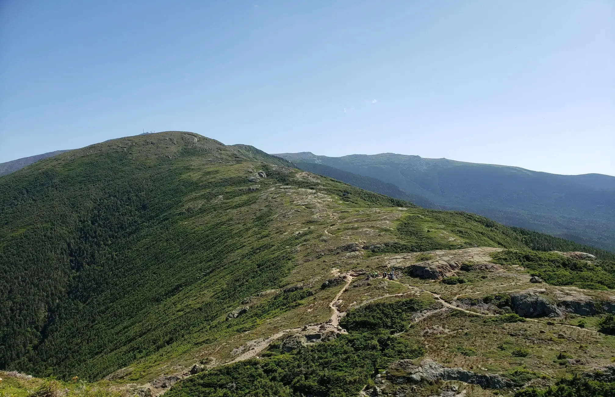
The Presidential Traverse — A classic New Hampshire sandbag
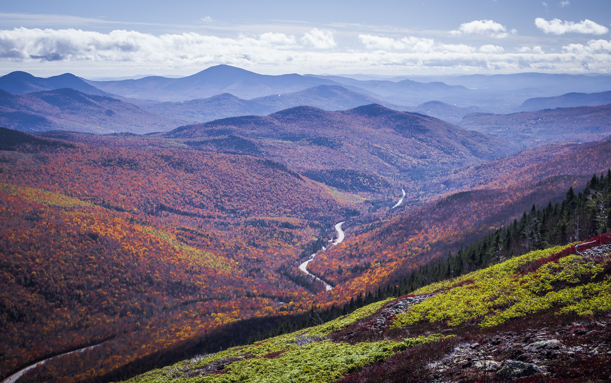
Cohos Trail — Exploring New Hampshire’s remote North Woods
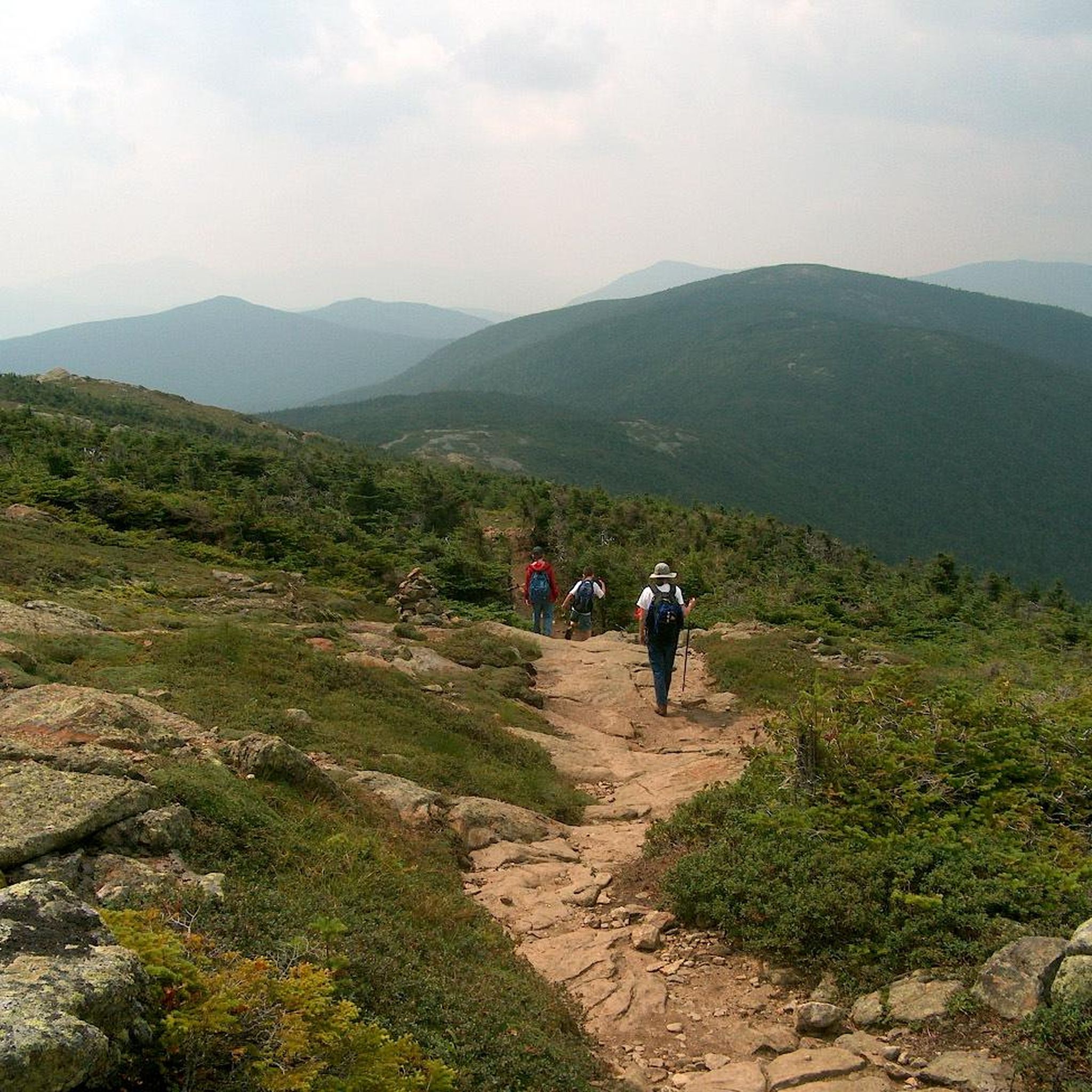
Hiking in Presidential Range-Dry River Wilderness
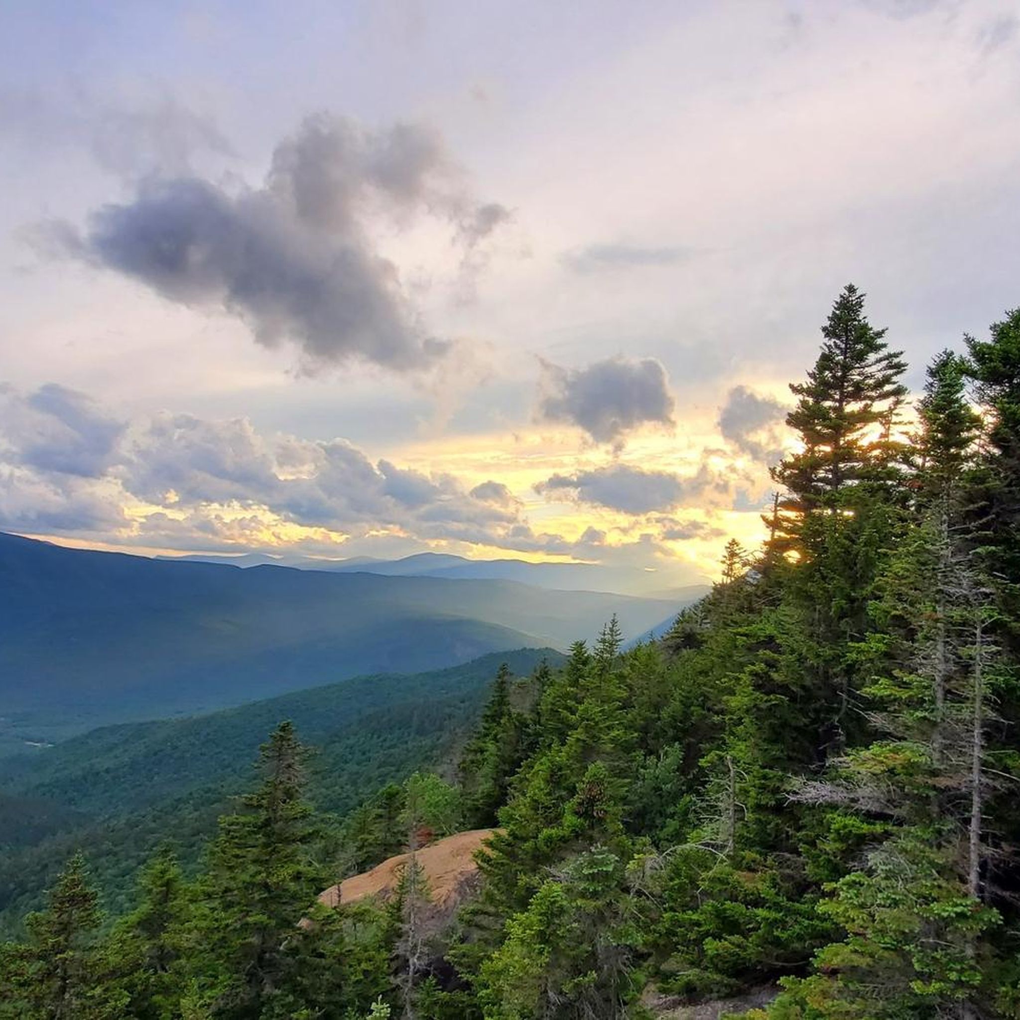
Road Cycling Routes in Presidential Range-Dry River Wilderness
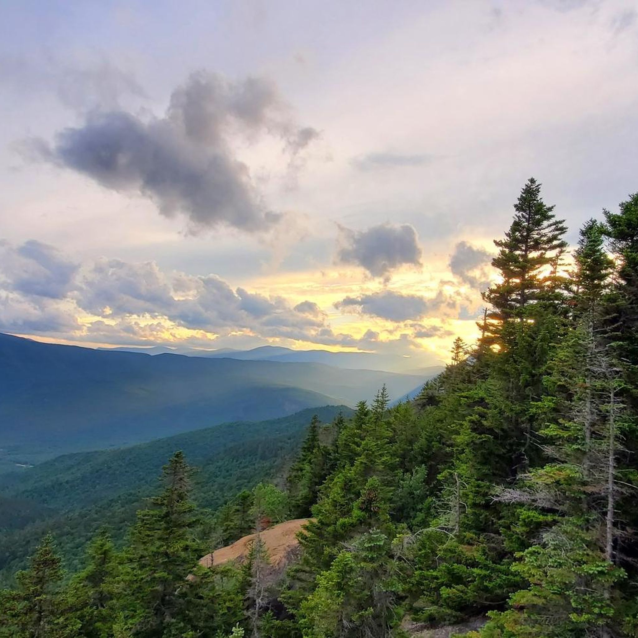
Cycling in Presidential Range-Dry River Wilderness
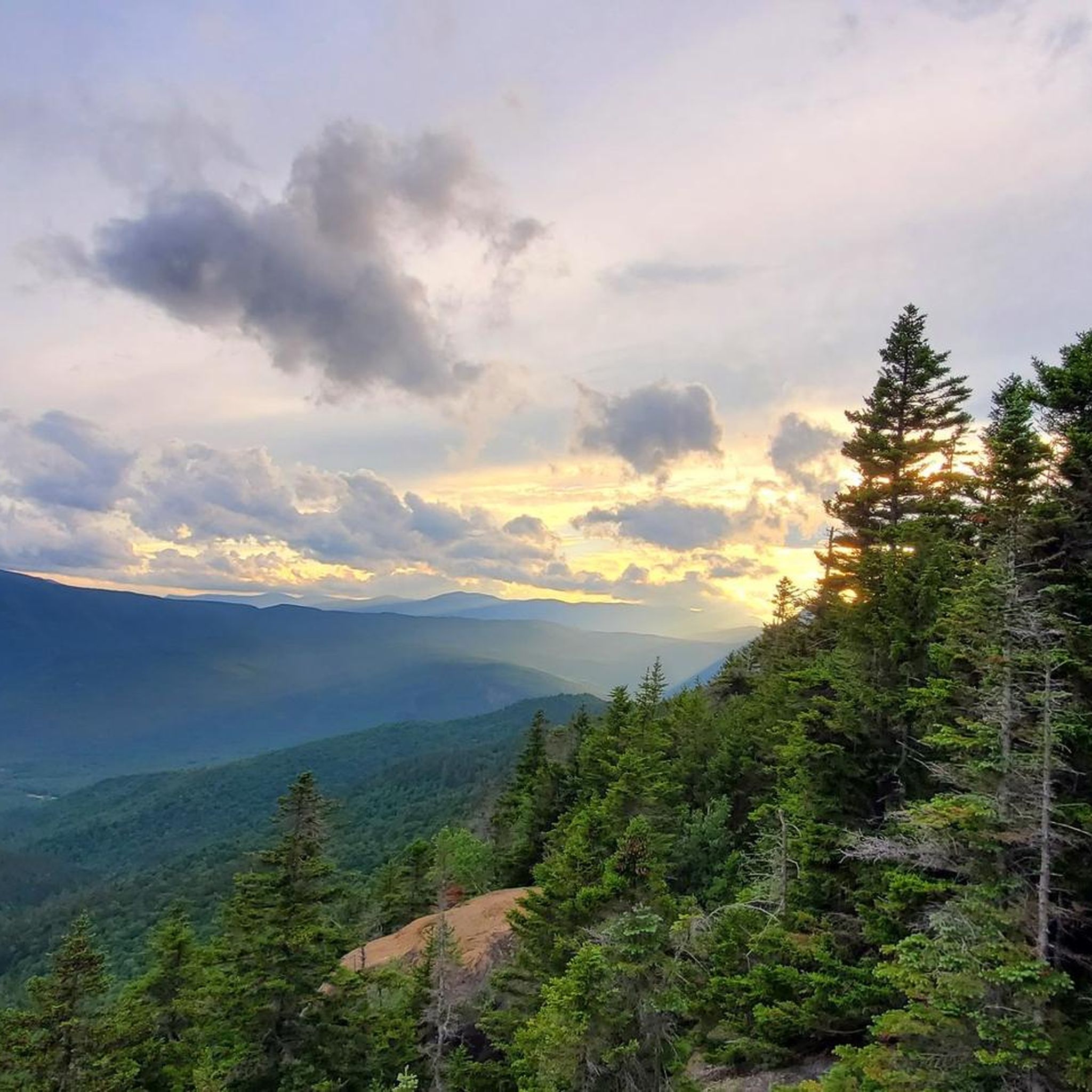
MTB Trails in Presidential Range-Dry River Wilderness
Other adventures in Presidential Range-Dry River Wilderness

Tips from the Community

The 'Coliseum Falls' are located below the 'Bemis Brook Falls' on the trail of the same name, a less frequented alternative to the 'Arethusa Falls'. The water falls down a low granite step and flows over a long, flat granite slab in the valley floor down into the 'Fawn Pool'. In dry times you can walk from the waterfall to the pool on the granite slab. https://www.newenglandwaterfalls.com/nh-arethusafalls.html
2
0
The 'Bemis Brook Falls' are located below the 'Arethusa Falls' and can be reached on the 'Bemis Brook Waterfalls Trail'. This alternative route to the 'Arethusa Falls' runs along the valley floor and climbs steeply up to the main route at the lower waterfall. Only a few hikers visit the smaller waterfall, which falls over four steps of granite rock. https://www.newenglandwaterfalls.com/nh-arethusafalls.html
2
0
Arethusa Falls on Bemis Brook are considered the highest single-stage waterfall accessible by hiking trail in New England. The hike to Arethusa Falls on the trail of the same name is one of the most popular day hikes in White Mountain National Forest. There is a large parking lot at the trailhead on Crawford Notch Road - US Route 302; park admission costs $5 per vehicle. https://www.newenglandwaterfalls.com/nh-arethusafalls.html
4
0

Along with Arethusa Falls, Coliseum Falls is a popular waterfall in the White Mountain National Forest. It is normally a busy spot, but it is worth a stop for the great looking falls.
1
0
Arethusa Falls is a very tall waterfall. The water level can vary depending on recent rainfall. Summer is normally the best time to visit the falls, although you should expect crowds.
1
0

The Glen Boulder Trail is a tough trail that heads straight up the mountain from the trailhead. The path is well-marked and easy to follow, and there are plenty of views and chances to see wildlife all along the way. There are a number of sections with built-in rock steps, and trail maintenance keep this trail looking great.
0
0
Mount Isolation (4,003 feet) is one of the multiple summits over 4,000 feet in the Presidential Range of the White Mountains. A lot of the trails passing through the range can be connected to this summit, which has great 360 degree panoramic views.
0
0
Mount Crawford stretches up to 3,119 feet and is just west of the famous Presidential Ridge. The summit has a rocky outcrop that offers great views toward the spine of the famous ridge and up the river valley running through Notchland.
0
0
Frequently Asked Questions
How many running routes are available in Presidential Range-Dry River Wilderness?
There are over 50 running routes available in the Presidential Range-Dry River Wilderness, offering a wide range of experiences for trail runners. The komoot community has explored these trails over 270 times.
What kind of terrain can I expect when running in Presidential Range-Dry River Wilderness?
The terrain in Presidential Range-Dry River Wilderness is highly diverse. You'll find a transition from spruce-fir forests in river bottoms to northern hardwood forests, and even alpine tundra at higher elevations. Trails can range from relatively smooth and nontechnical sections to very rugged paths with rocks, roots, and challenging stream crossings, especially on higher ridgelines and towards summits.
Are there any easy or beginner-friendly jogging routes in the Presidential Range-Dry River Wilderness?
While the majority of routes in this wilderness are considered difficult, there are a few moderate options. For example, the Arethusa Falls and Frankenstein Cliff Loop offers varied terrain through forests and near water features, providing a good introduction to the area's beauty without the extreme difficulty of some higher elevation trails.
What do other runners say about the trails in Presidential Range-Dry River Wilderness?
The routes in Presidential Range-Dry River Wilderness are highly rated by the komoot community, with an average score of 5.0 stars. Runners often praise the stunning natural beauty, the challenging yet rewarding ascents, and the diverse landscapes that make each run unique.
Are there any notable natural features or landmarks to see while jogging in this wilderness area?
Absolutely! The wilderness is rich with natural features. You can encounter high ridgelines, glacial cirques like Oakes Gulf, and picturesque water features such as Dry River Falls. Notable summits include Mount Jackson Summit and Mount Isolation. The Lake of the Clouds Hut is also a significant landmark offering stunning alpine views.
Are there any running routes that feature waterfalls or scenic ponds?
Yes, the region offers routes with beautiful water features. The Arethusa Falls and Frankenstein Cliff Loop takes you near impressive waterfalls. Additionally, the Nancy Pond Trail leads through varied forest terrain and past a picturesque pond, offering a serene running experience.
What is the best time of year for trail running in Presidential Range-Dry River Wilderness?
The best time for trail running is generally from late spring through early autumn. The northern hardwood forests are particularly striking in autumn. While the Dry River can be swift and cold from snowmelt well into the summer, the trails are most accessible and enjoyable during these warmer months. Be prepared for unpredictable and harsh weather conditions, especially at higher elevations, regardless of the season.
Are there any circular running routes in the wilderness?
Yes, there are several circular routes available. A popular option is the Arethusa Falls and Frankenstein Cliff Loop, which allows you to start and end at the same point while experiencing varied terrain and natural beauty.
Can I bring my dog on the jogging trails in Presidential Range-Dry River Wilderness?
The Presidential Range-Dry River Wilderness is part of the White Mountain National Forest, which generally allows dogs on trails, often requiring them to be on a leash. However, it's always best to check specific trail regulations or Forest Service guidelines for any particular route or area within the wilderness to ensure compliance and safety for your pet and other users.
Are there any routes that offer panoramic views of the White Mountains?
Absolutely! Many routes provide stunning vistas. For instance, the Mount Crawford via Davis Path is known for offering 360-degree views of the White Mountains. Higher elevation trails and summits throughout the wilderness also provide expansive, breathtaking scenery.
What are some of the more challenging running routes in the area?
The Presidential Range-Dry River Wilderness is known for its challenging terrain. Many routes, including the Mount Crawford via Davis Path and the Nancy Pond Trail, are rated as difficult due to significant elevation gain and rugged surfaces. For the most experienced and well-prepared trail runners, the renowned Presidential Traverse, while not a single komoot route, covers a 19-mile ridge with over 8,500 feet of elevation gain across major summits.
Are there any long-distance running options for experienced trail runners?
Yes, for experienced trail runners looking for longer distances, routes like the Nancy Cascades – Nancy Pond loop from Nancy Pond Trailhead offer a substantial challenge, covering nearly 28.5 km with significant elevation changes. These longer routes often combine multiple trails, providing extensive exploration of the wilderness.
Most popular routes in Presidential Range-Dry River Wilderness
Most popular attractions in Presidential Range-Dry River Wilderness

Get inspired with the komoot mobile app


Explore more
Browse the best Running Trails & Routes in other regions.
