The best walks and hikes in Presidential Range-Dry River Wilderness
4.5
(223)
4,333
hikers
202
hikes
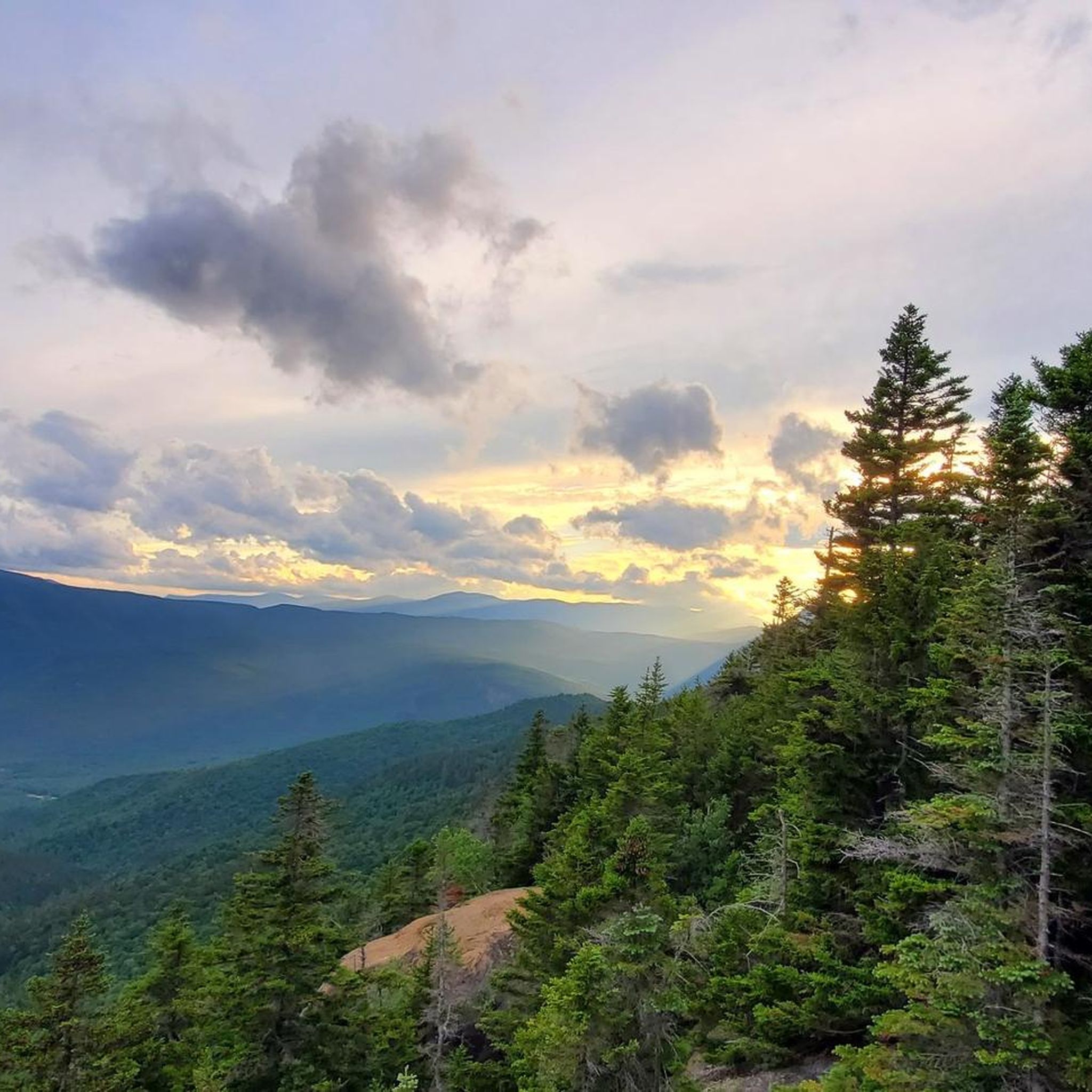
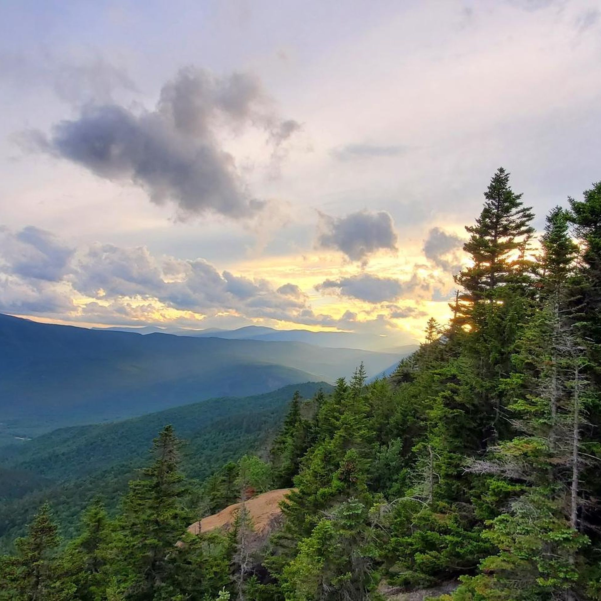
Hiking trails in Presidential Range-Dry River Wilderness traverse a rugged landscape characterized by long, high ridgelines and deep river valleys. This region features the largest expanse of alpine tundra east of the Mississippi River, alongside spruce-fir and northern hardwood forests. The wilderness is home to 13 mountains, with nine peaks exceeding 4,000 feet, including Mount Washington.
Best hiking trails in Presidential Range-Dry River Wilderness
- The most popular hiking route is Mount Crawford via Davis Path Trail — White Mountain National…
Last updated: May 28, 2026
4.5
(2)
55
hikers
20.3km
07:53
970m
1,090m
Embark on the challenging Mount Pierce, Jackson, and Webster Loop, a difficult hike spanning 12.6 miles (20.3 km) with a significant 3170 feet (966 metres) of elevation gain. This route…
5.0
(1)
34
hikers
7.39km
02:48
580m
210m
Embark on the Crawford Path for a moderate hike that takes you through the heart of the White Mountain National Forest. As you ascend, the landscape gradually opens up, eventually…

Sign up for free
10
hikers
10.8km
04:03
870m
250m
Hike Mount Crawford, Stairs Mountain, and Mount Resolution for a challenging 6.7-mile route with panoramic views in the White Mountains.
4
hikers
43.3km
16:10
2,840m
1,750m
This difficult 26.9-mile loop in White Mountain National Forest offers challenging hiking to Mount Carrigain and Nancy Pond, with 9308 feet
2
hikers
13.5km
05:19
550m
970m
Hike the difficult 8.4-mile Mount Isolation via Rocky Branch Trail for challenging terrain and 360-degree views of the Presidential Range.
Get access to more routes and recommendations from other explorers.
Sign up for free
Already have an account?
Our route recommendations are based on thousands of hikes, rides, and runs completed by other people on komoot.
Start today with a free account
Your next adventure awaits.
Login or Signup
Popular around Presidential Range-Dry River Wilderness
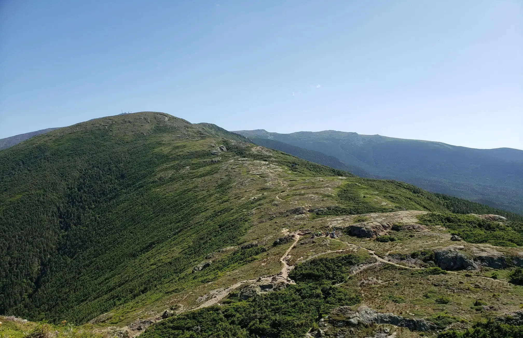
The Presidential Traverse — A classic New Hampshire sandbag
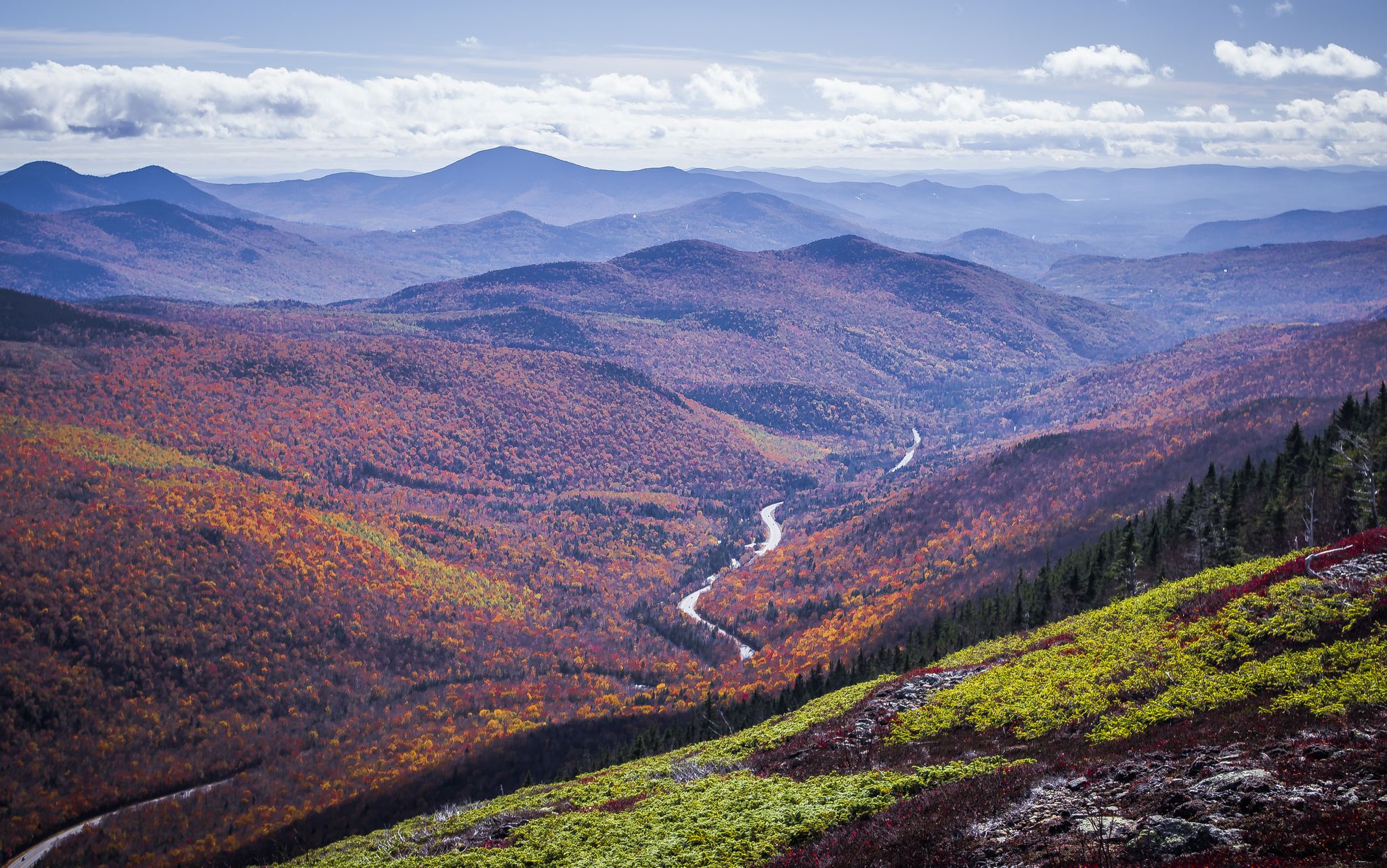
Cohos Trail — Exploring New Hampshire’s remote North Woods
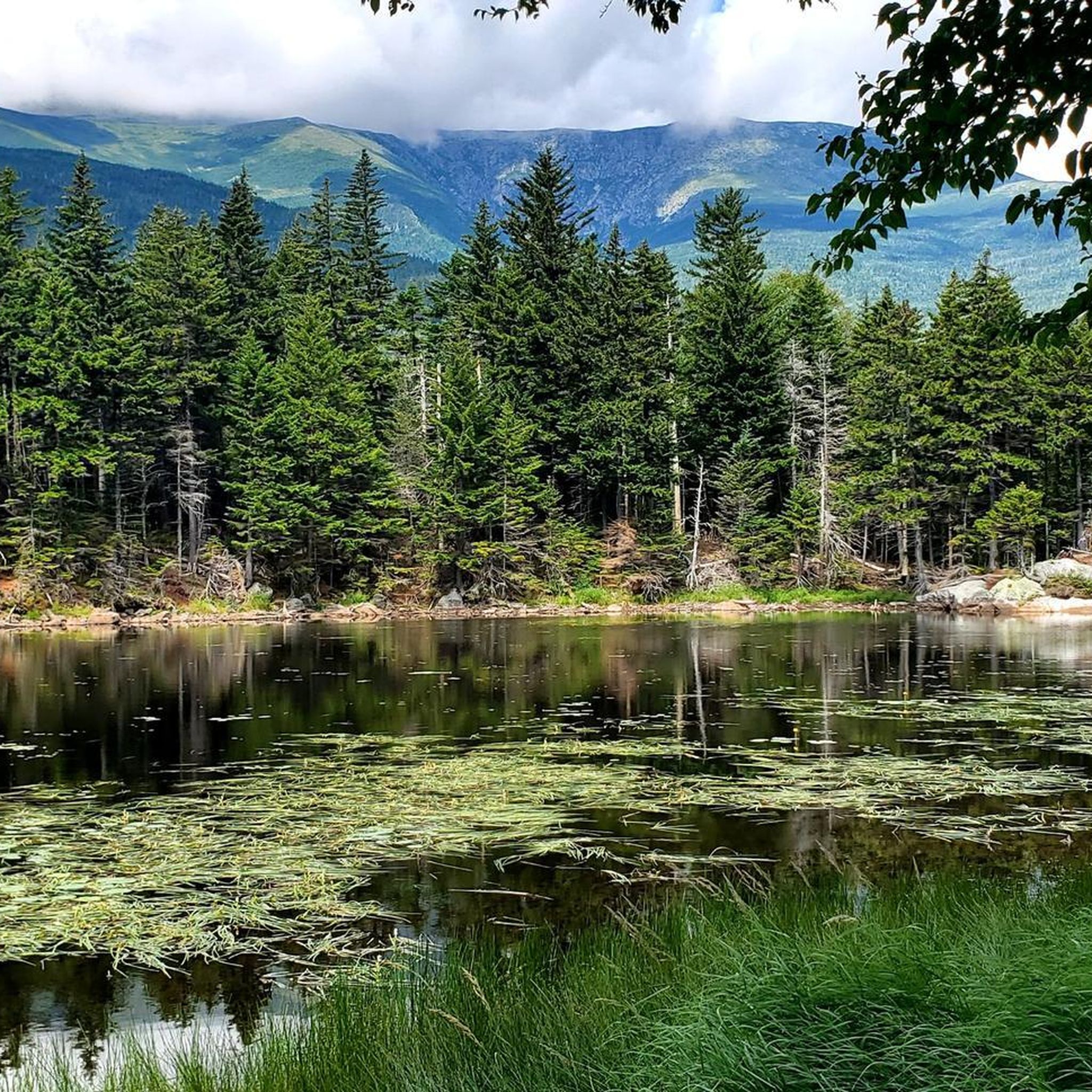
Running Trails in Presidential Range-Dry River Wilderness
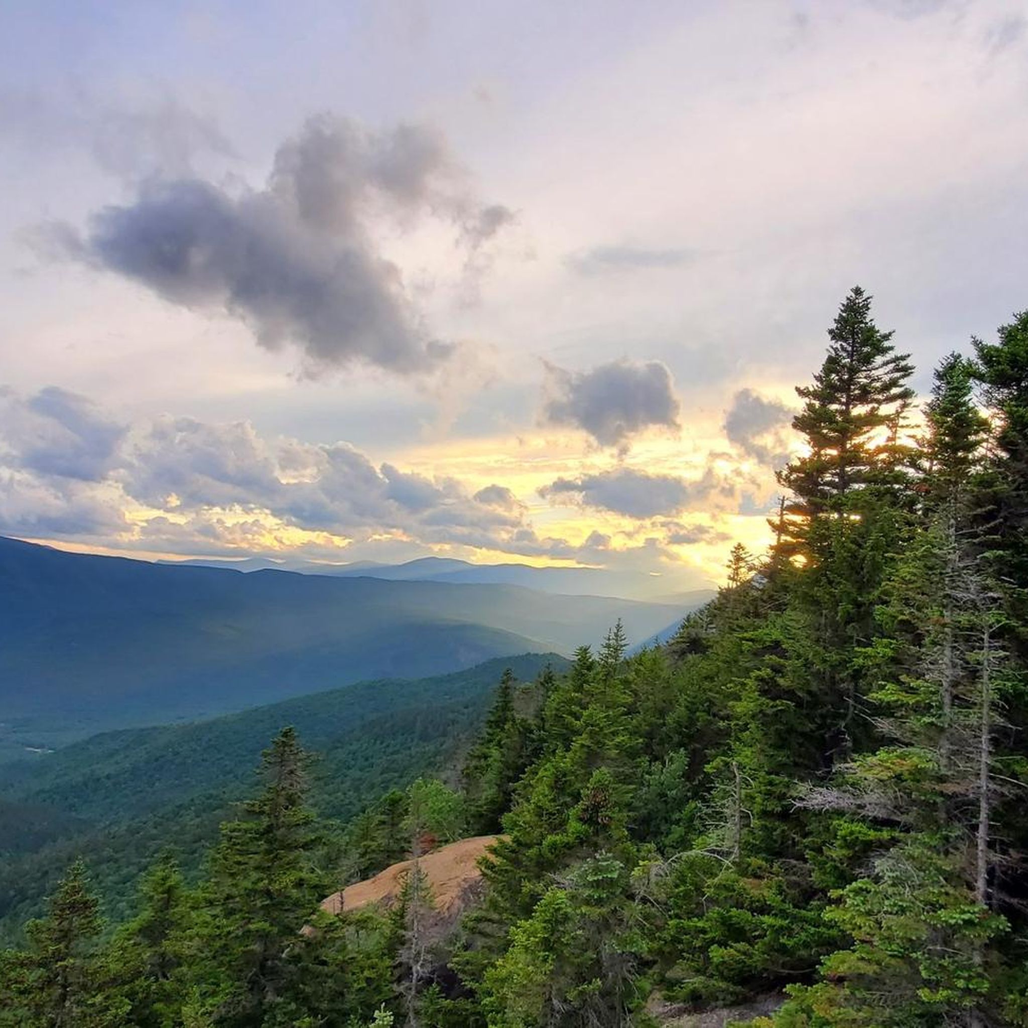
Road Cycling Routes in Presidential Range-Dry River Wilderness
Cycling in Presidential Range-Dry River Wilderness
MTB Trails in Presidential Range-Dry River Wilderness
Other adventures in Presidential Range-Dry River Wilderness

Tips from the Community

Mount Pierce stands at 4,310 feet and is toward the southern end of the Presidential Range. From its summit, you get sweeping views north toward Mount Eisenhower and Mount Washington from a mix of alpine scrub and rocky ledges. Named after Franklin Pierce, the only U.S. president from New Hampshire, it’s a must stop if tagging all the peaks along on the Presidential Traverse, or those looking for a challenging day hike.
1
0

Nestled in the White Mountain National Forest, the Mizpah Spring Hut is a cozy stop for hikers exploring the Presidential Range. Offering bunk accommodations, hearty meals, and potable water, it’s a great place to rest and recharge while enjoying breathtaking views of the surrounding mountains. Whether you're tackling a challenging trail or looking for a serene overnight retreat, this Appalachian Mountain Club hut is a memorable part of any White Mountains adventure.
0
0

At an elevation of 4,052 feet, Mount Jackson is the 38th tallest mountain in the state. It sits along a major ridge in the Presidential Range and is a rewarding run.
0
0
Stairs Mountain is the most northern summit is the small cluster of 3 summits (the others being Crawford and Resolution). The peak rises up to 3,468 feet and offers a rocky bald as a lookout area. This marks the southern point on a long ridge leading to Mount Isolation.
0
0
Mount Crawford stretches up to 3,119 feet and is just west of the famous Presidential Ridge. The summit has a rocky outcrop that offers great views toward the spine of the famous ridge and up the river valley running through Notchland.
0
0
Stairs Mountain is the most northern summit is the small cluster of 3 summits (the others being Crawford and Resolution). The peak rises up to 3,468 feet and offers a rocky bald as a lookout area. This marks the southern point on a long ridge leading to Mount Isolation.
0
0
Mount Crawford stretches up to 3,119 feet and is just west of the famous Presidential Ridge. The summit has a rocky outcrop that offers great views toward the spine of the famous ridge and up the river valley running through Notchland.
0
0

Nancy Pond is a pristine and secluded body of water tucked away within the scenic White Mountain National Forest. Surrounded by dense woods and rugged terrain, it's a quiet and peaceful spot for those seeking a simple, natural setting.
0
0
Frequently Asked Questions
How many hiking trails are available in the Presidential Range-Dry River Wilderness?
The Presidential Range-Dry River Wilderness offers a vast network of nearly 160 hiking trails. These routes cater to a wide range of abilities, from moderate forest paths to challenging mountain ascents, ensuring there's something for every hiker.
What is the best time of year to hike in the Presidential Range-Dry River Wilderness?
While the region offers year-round recreation, late spring through early fall (May to October) is generally considered the best time for hiking. Summer provides lush greenery and berry-picking opportunities, while autumn is renowned for spectacular foliage. Be prepared for unpredictable weather, especially at higher elevations, which can change rapidly even in summer.
How challenging are the hiking trails in the Presidential Range-Dry River Wilderness?
The trails in this wilderness area range significantly in difficulty. You'll find about 20 easy routes, 65 moderate trails, and 74 difficult options. Many trails are steep, rocky, and feature scrambles, particularly those leading to the higher peaks, offering a significant challenge for experienced hikers. For example, the Mount Davis Trail to Mount Davis is a difficult 15.8-mile route.
Are there any notable landmarks or viewpoints along the hiking trails?
Yes, the wilderness is rich with stunning landmarks and viewpoints. Hikers can reach summits like Mount Jackson Summit, Mount Isolation, and Mount Crawford Summit View, offering panoramic vistas. The area also features the largest expanse of alpine tundra east of the Mississippi River, providing an otherworldly feel, especially on the higher ridges.
Can I find accommodation or shelters along the trails?
Yes, the Appalachian Mountain Club (AMC) operates several High Mountain Huts within the region, such as the iconic Lake of the Clouds Hut (perched between Mount Monroe and Mount Washington) and Mizpah Spring Hut. These huts offer bunk accommodations and meals, providing crucial shelter and community for multi-day hikers.
Are there family-friendly hiking options in the Presidential Range-Dry River Wilderness?
While many trails are challenging, there are options suitable for families. The wilderness includes trails that traverse varied forest terrain, some featuring picturesque cascades and ponds. It's advisable to check the difficulty ratings and distances, as even moderate trails can be strenuous for younger children. For example, the Nancy Pond Trail via Nancy Cascades is a moderate 7-mile path that leads through varied forest terrain.
Are dogs allowed on the hiking trails in this wilderness area?
Generally, dogs are permitted on trails within the White Mountain National Forest, which encompasses the Presidential Range-Dry River Wilderness. However, they must be kept on a leash at all times to protect wildlife and ensure the safety and enjoyment of all visitors. Always check specific trail regulations before heading out, especially for sensitive areas or during certain seasons.
Are there any circular hiking routes in the Presidential Range-Dry River Wilderness?
Yes, the region offers several loop trails, particularly around some of the prominent peaks. These circular routes allow hikers to experience diverse landscapes without retracing their steps. For instance, the Mount Washington Summit loop from Mount Washington is a moderate 2.9-mile circular route.
What kind of wildlife might I encounter while hiking?
The Presidential Range-Dry River Wilderness is home to a variety of wildlife. Hikers may encounter deer, moose, and black bears. Birdwatchers can also spot numerous species, especially in the diverse forest ecosystems. Remember to maintain a safe distance from all wildlife and never feed animals.
What are the parking options and public transport access for trailheads?
Parking is available at various trailheads throughout the wilderness area. Many trailheads are located along major roads like US Route 302. While public transport options directly to all trailheads are limited, some services might connect to nearby towns, from which you may need to arrange further transport. It's recommended to plan your route and parking in advance.
Do I need a permit to hike in the Presidential Range-Dry River Wilderness?
For day hikes in the Presidential Range-Dry River Wilderness, a specific permit is generally not required. However, some parking areas may require a fee or a recreation pass (such as the America the Beautiful Pass). If you plan an overnight backpacking trip, especially if camping outside designated sites or using specific shelters, you may need to register or obtain a permit. Always check the latest regulations with the White Mountain National Forest service before your trip.
Are there any less-trafficked or 'hidden gem' trails for a more solitary experience?
Yes, for those seeking solitude, the wilderness offers trails described as 'lightly used' and maintained to 'wilderness standards.' These unblazed paths provide a more remote experience away from the more popular routes. Mount Isolation, for example, is noted for its remote feel and 360-degree panoramic views, often accessed via less-trafficked trails.
What should I know about the weather conditions in the Presidential Range-Dry River Wilderness?
The weather in the Presidential Range-Dry River Wilderness, particularly at higher elevations, is notoriously unpredictable and can change rapidly. Mount Washington is known for having some of the most extreme weather on Earth. Hikers should always be prepared for sudden drops in temperature, strong winds, rain, and even snow, regardless of the season. Always carry appropriate layers, rain gear, and navigation tools.
What do other hikers enjoy most about the Presidential Range-Dry River Wilderness?
The area is highly rated by the komoot community, with an average score of 4.6 stars from over 230 reviews. Hikers frequently praise the stunning natural beauty, the challenging yet rewarding terrain, and the diverse ecosystems ranging from alpine tundra to dense forests. Many appreciate the well-maintained trails and the sense of accomplishment after conquering the region's prominent peaks.
Most popular routes in Presidential Range-Dry River Wilderness
Most popular attractions in Presidential Range-Dry River Wilderness

Get inspired with the komoot mobile app


Explore more
Browse the best Hikes in other regions.
